Elevation of Bollinger Canyon Ln, San Ramon, CA, USA
Location: United States > California > Contra Costa County > San Ramon >
Longitude: -121.94456
Latitude: 37.7723174
Elevation: 193m / 633feet
Barometric Pressure: 99KPa
Elevation Map:
Satellite Map:
Related Photos:
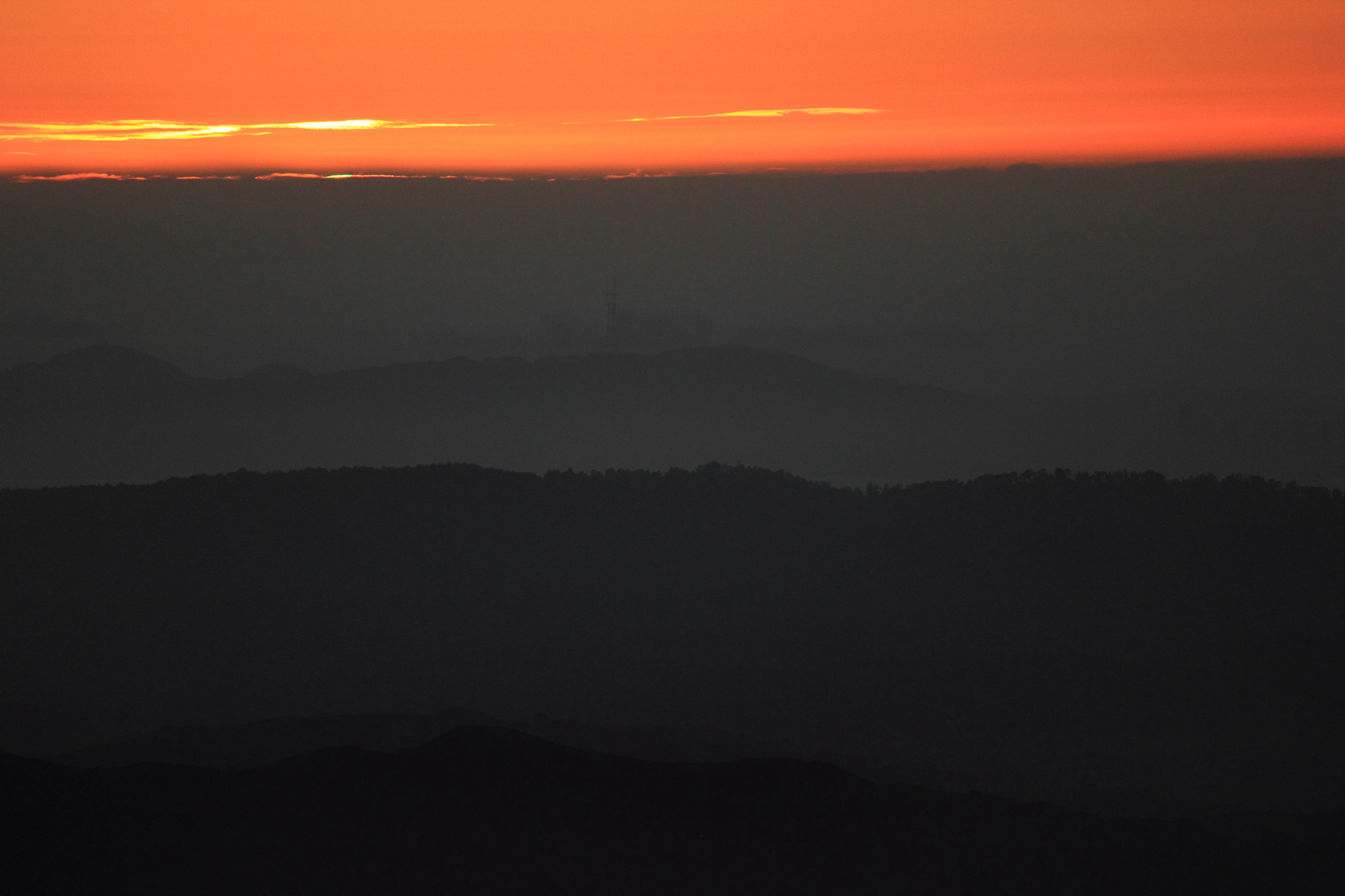
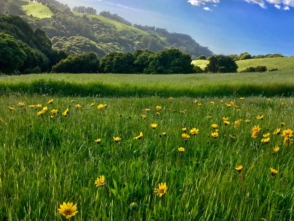
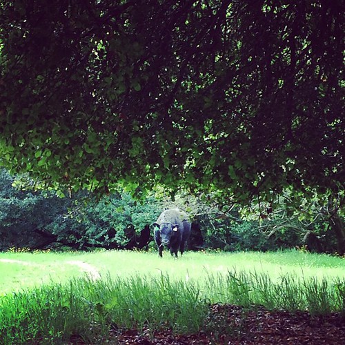
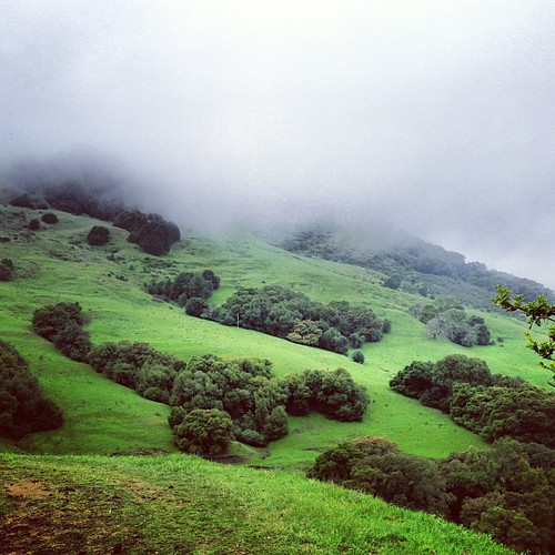
After the Rains
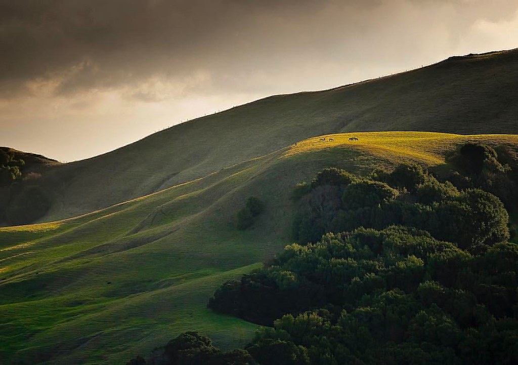
Horses taking in the views above Danville. © Sean Arbabi | seanarbabi.com (all rights reserved worldwide) #danvilleca #lastrampasregionalwilderness #eastbayregionalparks #sanfranciscobayarea #nikon #naturephotography #horses #horsesofinstagram

Fluorescein Dye

wheels on fire
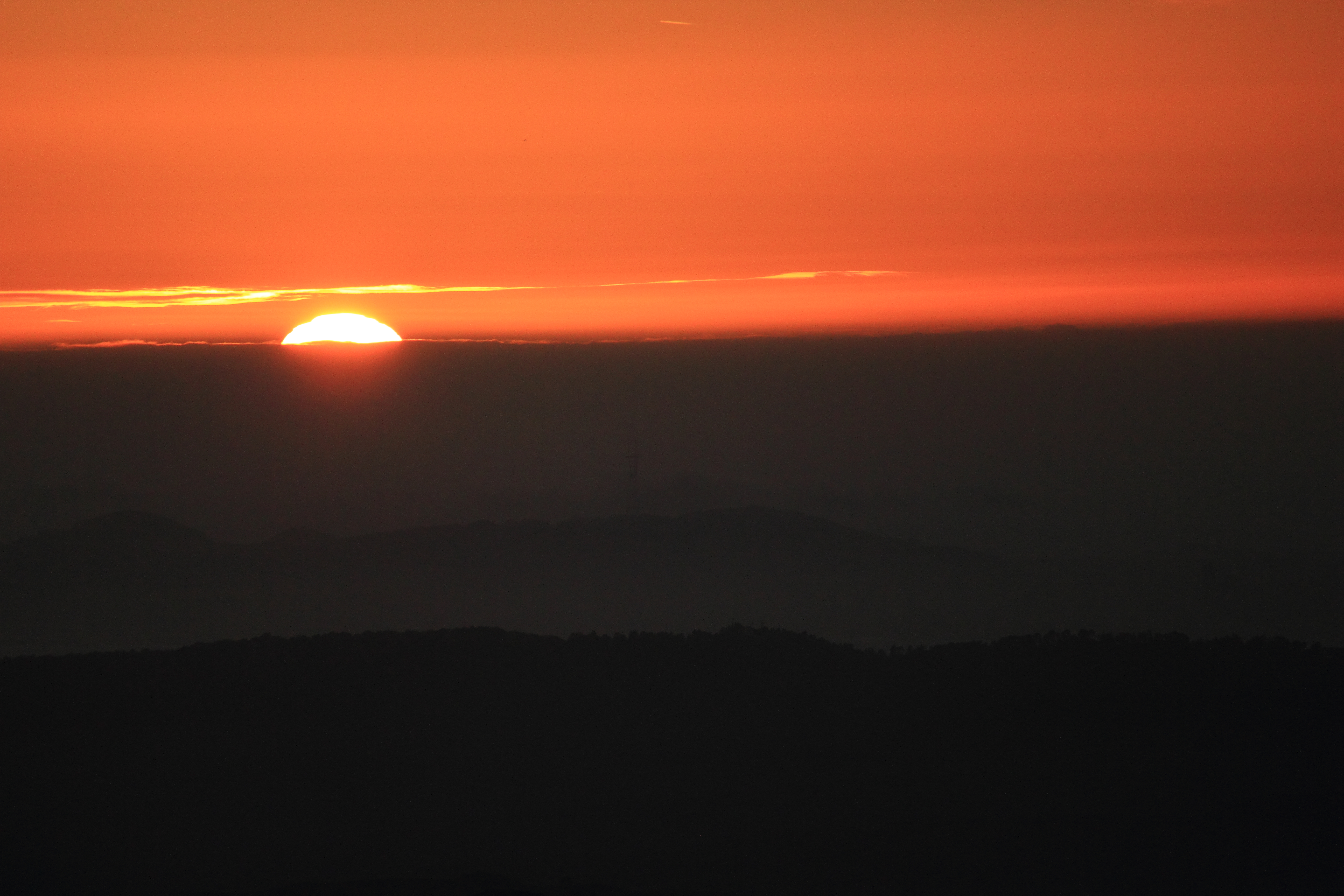
California Sunset

Hiking at Mt. Diablo, Contra Costa County, Northern California, USA

A Gnarly Sunset - California Oak

Night View of Tri-Valley
Hiking at Mt. Diablo, Contra Costa County, Northern California,
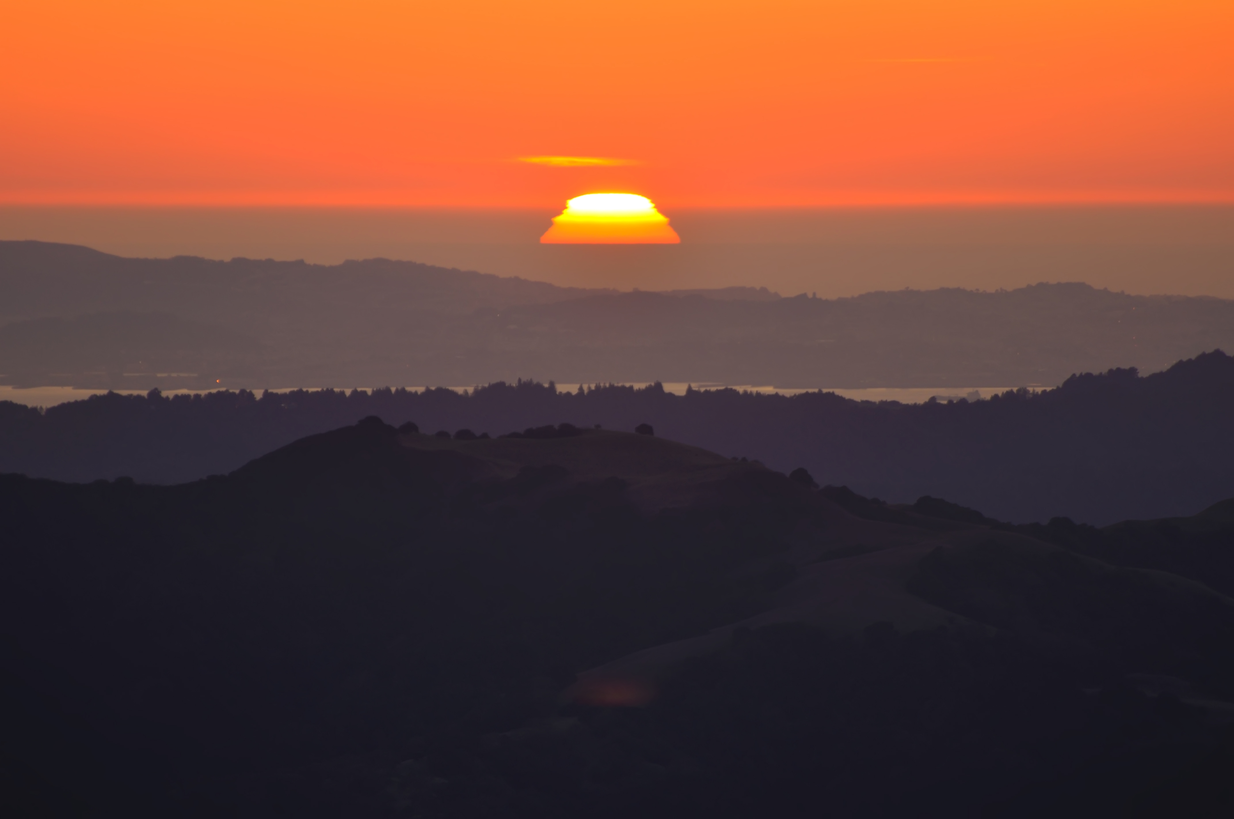
Sunset from Mount Diablo

My fire in the light.
Green Flash

Stroke of Fall
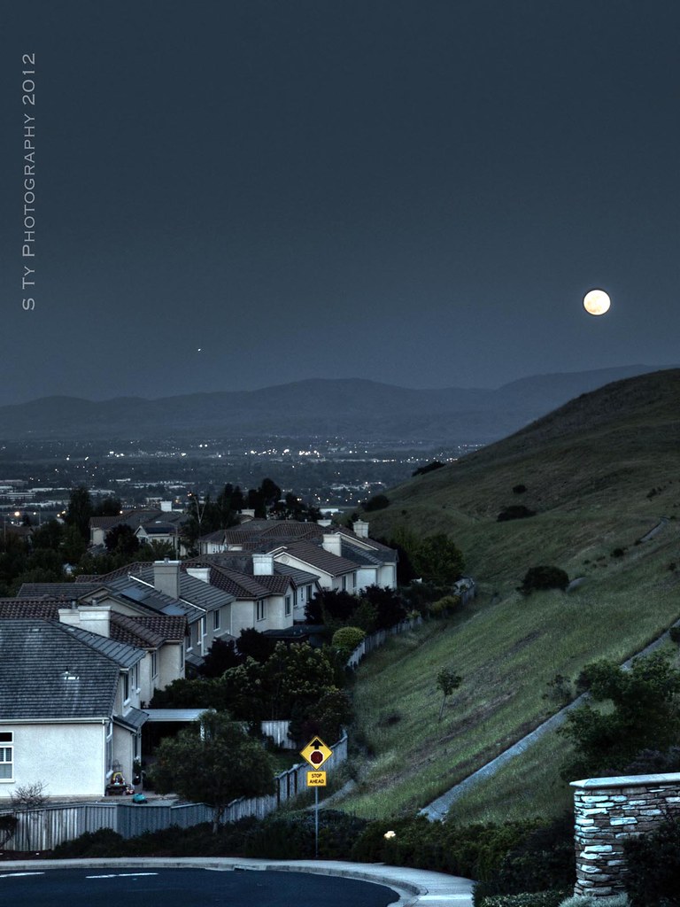
Serenity - Super Moon over Dublin 05-05-2012

Mt Diablo Fisheye View
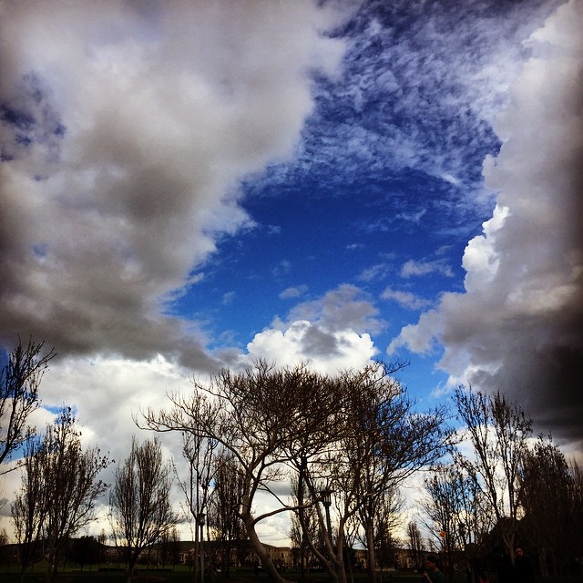
#tree #cloud #sky #blue #storm #view #winter

360 degrees of California
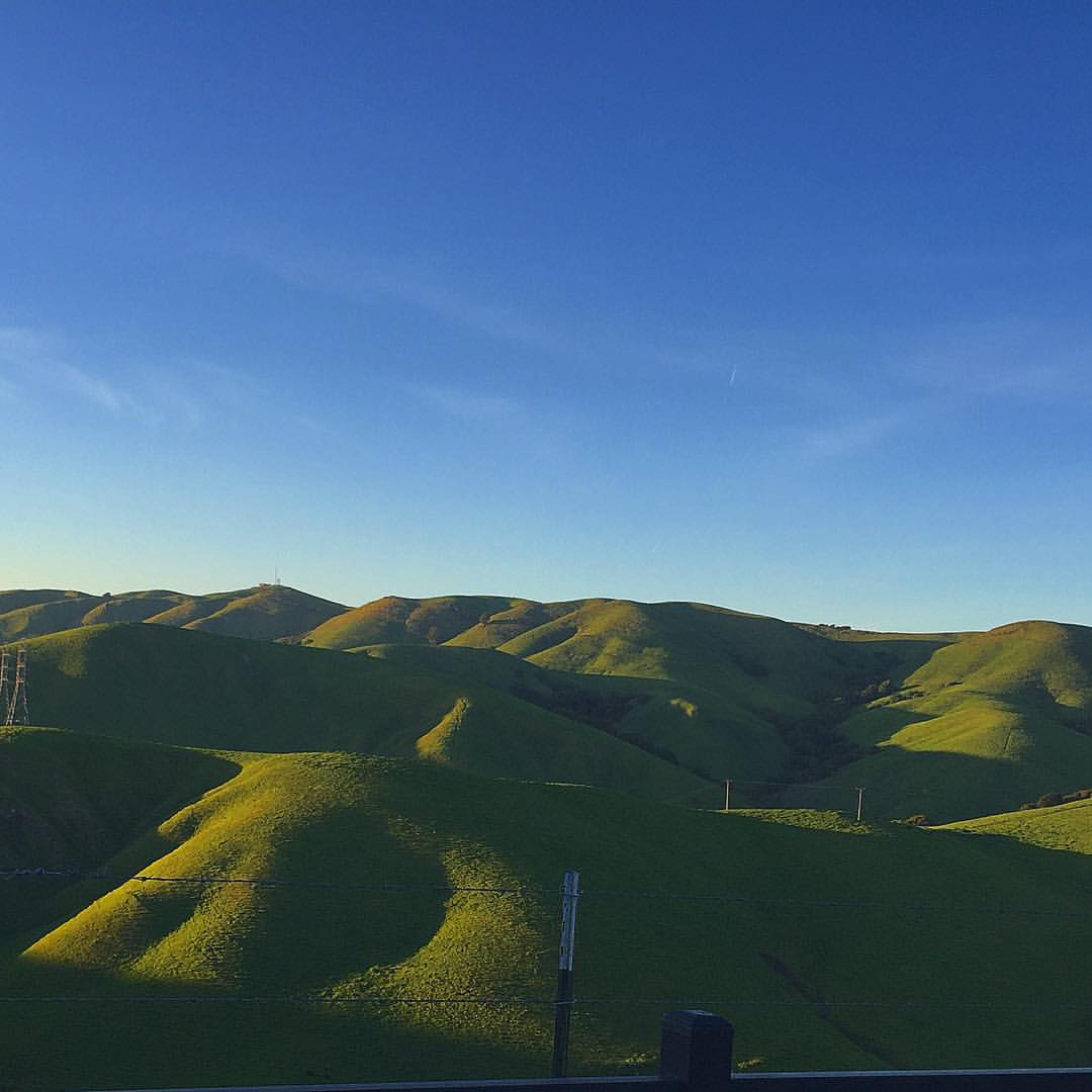
Mt. Diablo to the SF Bay. Awesome view.
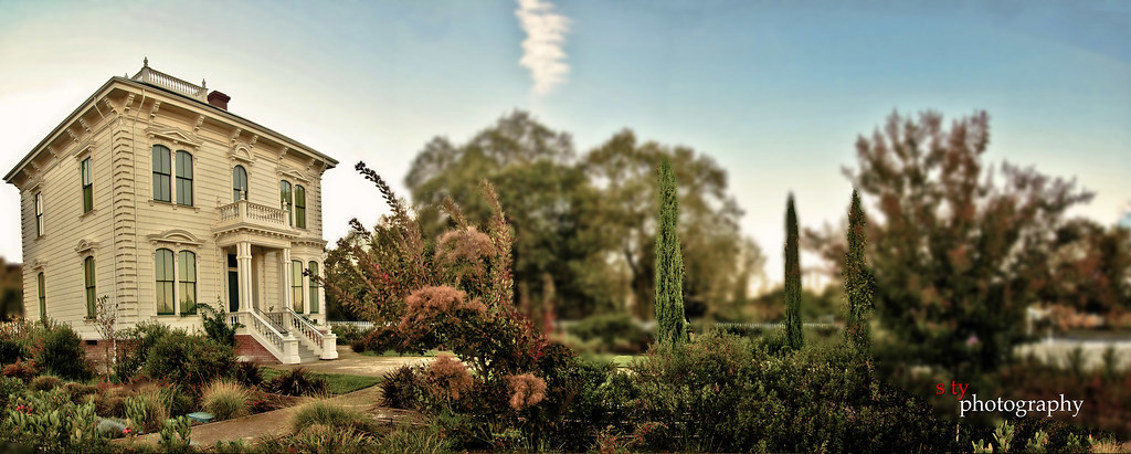
The Glass House (best viewed in Lightbox)
Fossil Ridge Trail - View Large

Fluorescein Dye under Blue Light
Lake Chabot
Lake Chabot
Lake Chabot

Mt. Diablo
Chabot Park
Goodbye Stormy Skies
He was quietly brunching when I turned up right behind, glad he was so focus!
Something about these hills...remind me of Shrek.

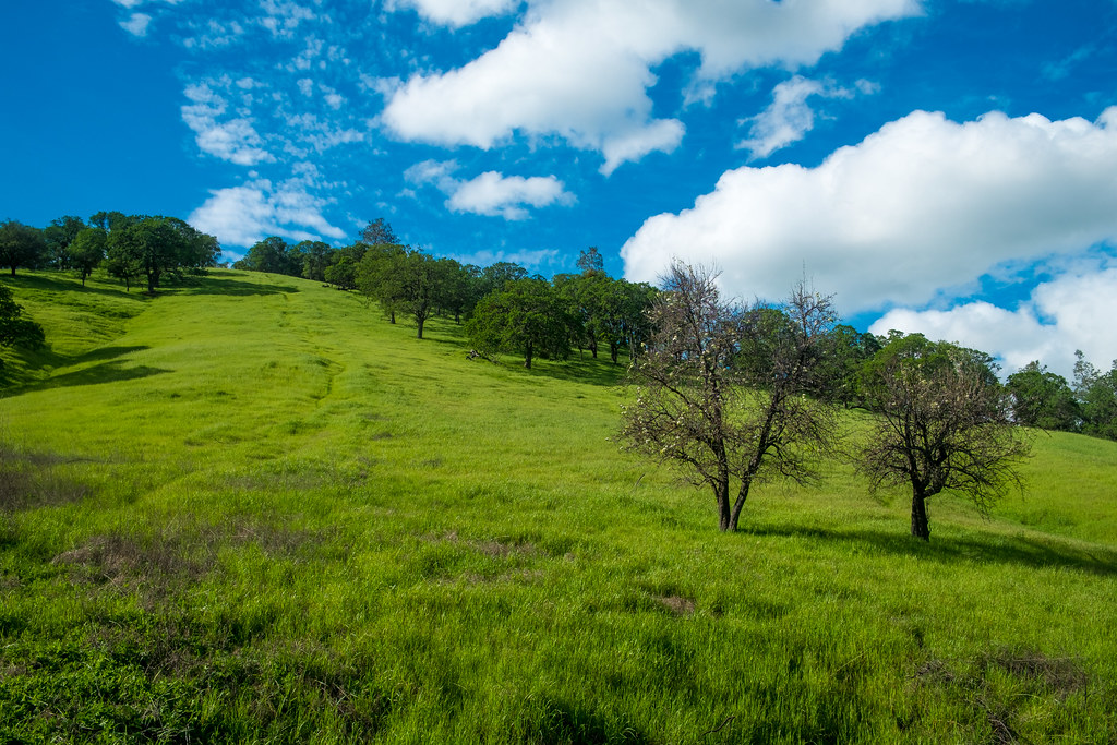
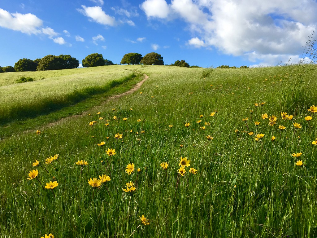
spring all the way
endless e6
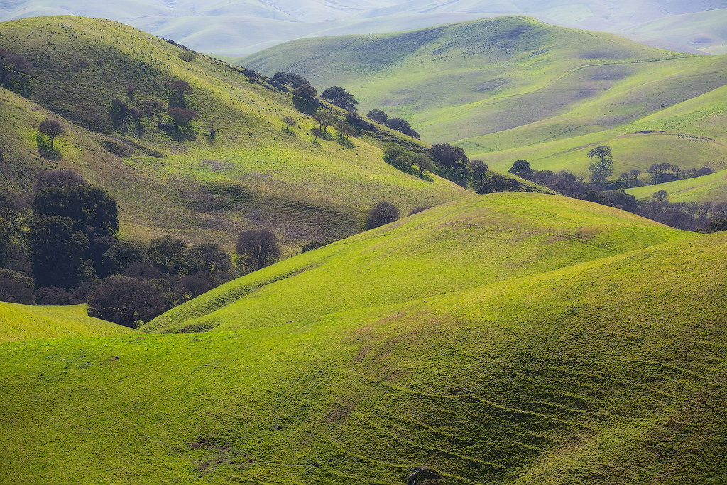
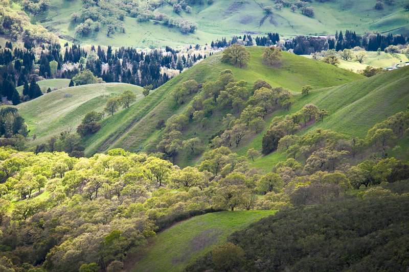
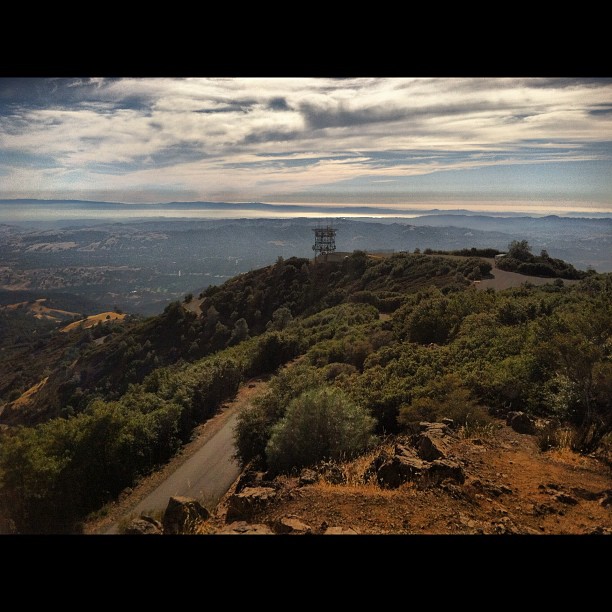
Diablo Hills
Th fog was rolling in quick!
Nature with a nice trail n a twist of instragram!

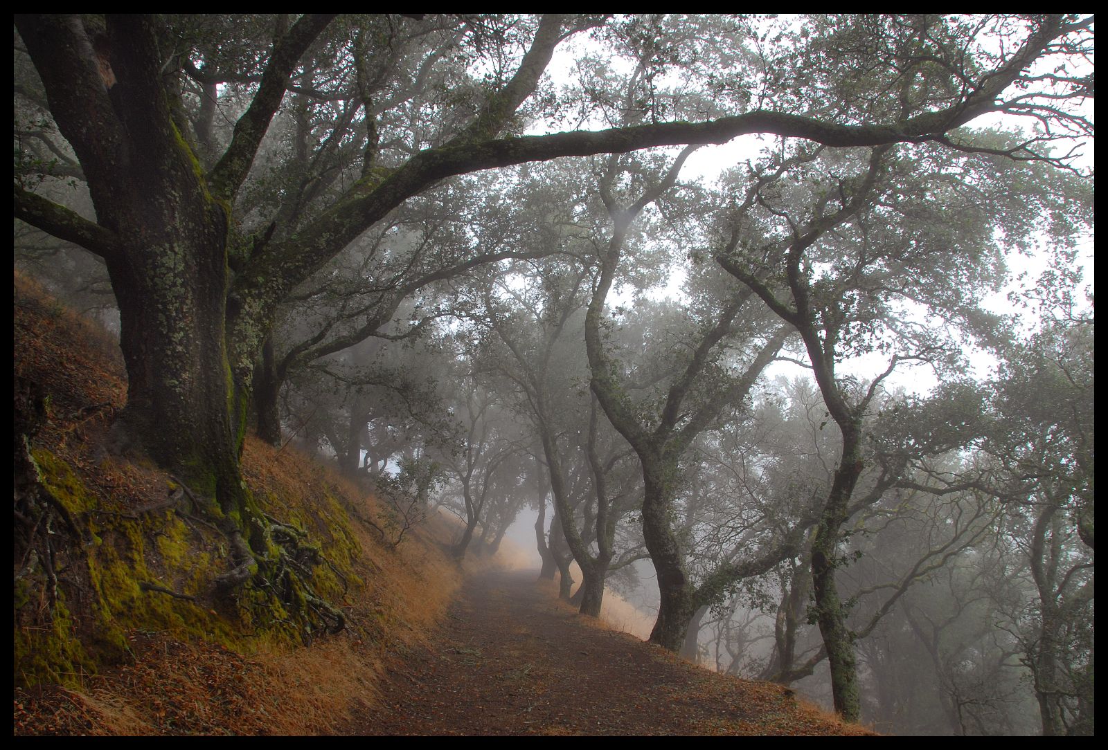
Las Trampas
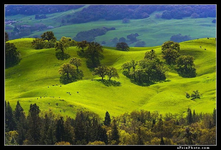
“California Green” (unreleased) © 2016 Winter of ’15-’16 left CA with some greens I had never seen before. I can only imagine what this spring is like. • • • • • • #outside_project #fineartphotography #afeinphoto #liveoutdoors #discoverear

Secret Hill

Morgan Territory Road, Livermore, California
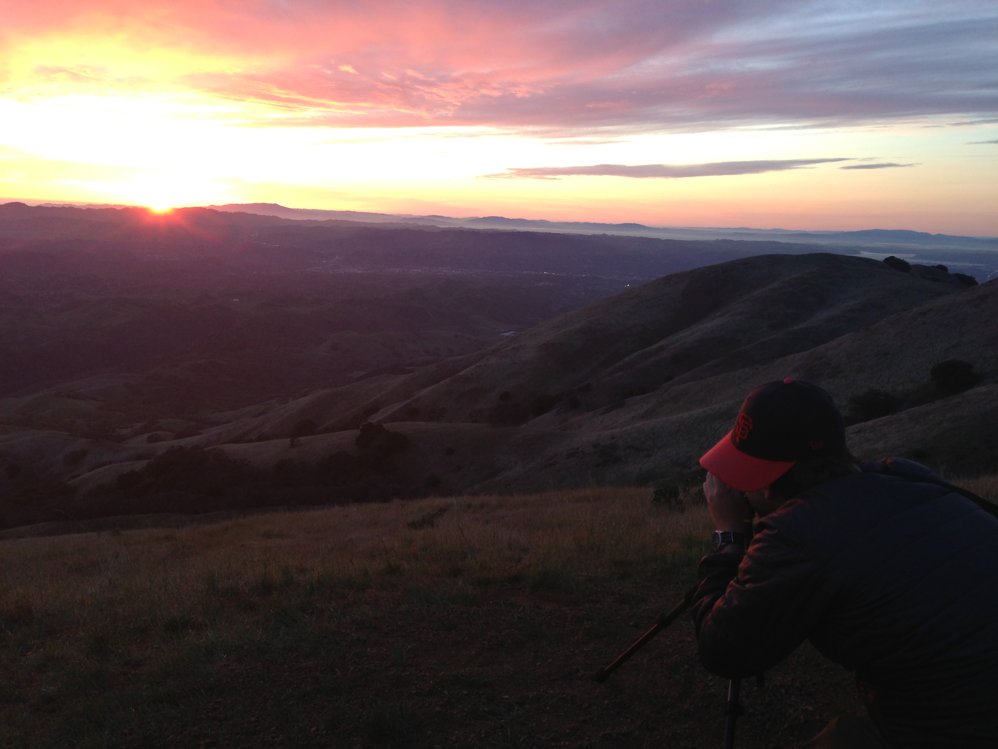
photo.JPG
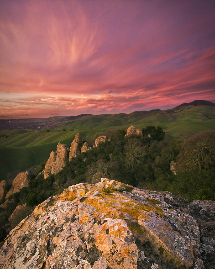
Castle Rocks - Diablo Foothills
Topographic Map of Bollinger Canyon Ln, San Ramon, CA, USA
Find elevation by address:

Places near Bollinger Canyon Ln, San Ramon, CA, USA:
2016 Wineberry Dr
Canyon Woods Apartments
The Bridges Golf Club
3010 Lakemont Dr
Lilac Ridge Road
2623 Camino Ramon
6121 Bollinger Canyon Rd
4168 Greenwich Dr
2600 Camino Ramon
Sentinels Of Freedom Scholarship Foundation
2103 Presidio Ct
372 Bellflower Ct
6001 Bollinger Canyon Rd
3100 Riviera Way
2861 Millbridge Pl
3040 Sombrero Cir
366 Conway Dr
Trefoil Road
311 Kingsley Pl
Gale Ranch Middle School
Recent Searches:
- Elevation of Zu den Ihlowbergen, Althüttendorf, Germany
- Elevation of Badaber, Peshawar, Khyber Pakhtunkhwa, Pakistan
- Elevation of SE Heron Loop, Lincoln City, OR, USA
- Elevation of Slanický ostrov, 01 Námestovo, Slovakia
- Elevation of Spaceport America, Co Rd A, Truth or Consequences, NM, USA
- Elevation of Warwick, RI, USA
- Elevation of Fern Rd, Whitmore, CA, USA
- Elevation of 62 Abbey St, Marshfield, MA, USA
- Elevation of Fernwood, Bradenton, FL, USA
- Elevation of Felindre, Swansea SA5 7LU, UK