Elevation of Riviera Way, San Ramon, CA, USA

Location: United States > California > Contra Costa County > San Ramon >

Longitude: -121.94240

Latitude: 37.7457351

Elevation: 119m / 390feet

Barometric Pressure: 100KPa

Elevation Map:

elevation map of Riviera Way, San Ramon, CA, USA

Satellite Map:

Satellite map of Riviera Way, San Ramon, CA, USA

Related Photos:

california above longexposure summer motion black color night dark lowlight nikon view ride spin over july spinning bayarea vista eastbay midway funfair pleasanton alamedacounty alamedacountyfair lightstream d700 2011northerncalifornia
wheels on fire
flower macro yellow closeup droplets bokeh daisy canon100mmf28macro delicate johnmorgan
Freshly Watered
california mountain distortion landscape nikon mt fisheye diablo soe pittsburg 10mm baypoint d90 contracostacounty
Mt Diablo Fisheye View
street blue trees usa house brick green ford lamp station clouds trash dumpster truck fire graffiti 1 us am garbage escape cloudy pov pavement teal balcony c united mason parking main lot pickup grand tags engines pontiac walls states hayward hybrid hdr mostviewed1 mostviewed7 mostviewed6 mostviewed10
Dumpster's Point of View
california sunset danville mountdiablo johnk mountdiablostatepark d5000 alemdagqualityonlyclub johnkrzesinski randomok
Sunset from Mount Diablo
redwoodroad alemedacounty greenhills clouds
While the Hills are Green!
california christmas white flower macro fleur closeup canon lights blossom bokeh 100mm bloom alamo aster christmastreelights johnmorgan
Asters in the Lights
view from today's library carrel
california winter panorama dublin storm motion black color reflection wet rain station northerncalifornia night dark nikon highway view traffic metro over bart january large panoramic transit bayarea eastbay stitched pleasanton alamedacounty 580 2016 lightstream redrain boury pbo31 d810
dublin / pleasanton platform in the rain
california usa foothills green grass clouds canon landscape spring oak day cloudy cumulus bayarea openspace wilderness walnutcreek hdr mountdiablo shellridge johnmorgan platinumheartaward
Mount Diablo Foothills
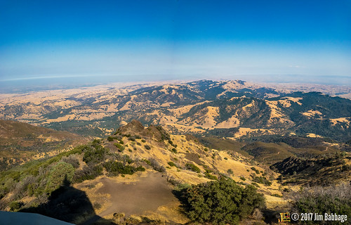
mtdiablo mountdiablo california usa bayarea sanfrancisco
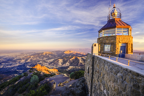
Mount Diablo views
square squareformat rise iphoneography instagramapp uploaded:by=instagram foursquare:venue=4bf99942508c0f474c773f31
#cloud #sky #blue #circular #circle #sun #nature #view #scenery
square lofi squareformat iphoneography instagramapp uploaded:by=instagram foursquare:venue=4aff4fc2f964a520383722e3
The view from above.
View From a Library Carrel
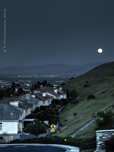
california nightphotography dublin moon eastbay hdr canon500d interstate580
Night View of Tri-Valley
california sunset orange canon landscape haze hills greenflash
Green Flash
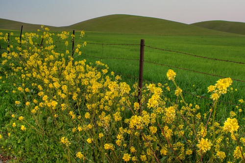
california green grass yellow fence landscape spring nikon hills mustard pastoral livermore hdr brassicaceae d300 mustardflower
The hills are alive...
2015 hayward jalewispark view
JA Lewis Park 20150326
instagramapp square squareformat iphoneography uploaded:by=instagram hefe
View from my room.
california funny sanramon sheep ram ewe canon500d contracostacounty foresthomefarms dancingsheep blinkagain bestofblinkwinners highqualityanimals
Giddy-Up!
california longexposure nightphotography dublin eastbay hdr canon500d supermoon blinkagain
Serenity - Super Moon over Dublin 05-05-2012
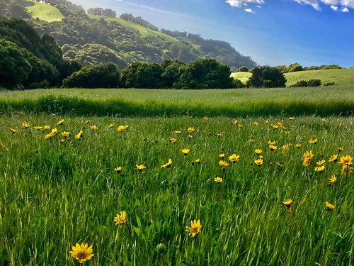
california park green square landscape spring trail hollingsworth garin garindrycreekpioneerregionalparks iphoneography uploaded:by=flickrmobile flickriosapp:filter=nofilter
Trail to the Yellow Flowers
california park summer color sunrise fire nikon sanramon smoke large panoramic september burning burn eastbay forestfire d200 mtdiablo northern stitched slope 2013 morganhillfire
the morgan hill fire monday morning september 9th
ebparksok
Lake Chabot
ebparksok
Lake Chabot
california ca mountains yellow us spring hills bayarea fields mustard livermore
spring all the way
Goodbye Stormy Skies
square squareformat hudson iphoneography instagramapp uploaded:by=instagram foursquare:venue=4b9a93e3f964a520f9c235e3
Th fog was rolling in quick!
ebparksok
Las Trampas
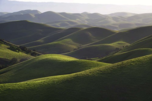
california green spring hills livermore rolling morganterritory
Morgan Territory Road, Livermore, California
photo.JPG
Secret Hill
walnutcreek california unitedstates us
APC_1146-hdr-Pano.jpg
Reinstein Ranch
Oceans of Green
instagramapp square squareformat iphoneography uploaded:by=instagram lofi chabot park california
Chabot Park
2015 cattle clouds flowers garinregional
Garin 20150227
ca hiking ridge pleasanton ptownridge
43/365 From The Ridge
136/365
square squareformat normal iphoneography instagramapp uploaded:by=instagram foursquare:venue=4a69dd9bf964a52021cc1fe3
Today's hike
dublin california unitedstates
20190503-086.jpg
hills grassland alamedacounty doolancanyon
Doolan Canyon