Elevation of Blue Ridge Dr, Springville, CA, USA
Location: United States > California > Tulare County > Springville >
Longitude: -118.76923
Latitude: 36.2744878
Elevation: 1001m / 3284feet
Barometric Pressure: 90KPa
Elevation Map:
Satellite Map:
Related Photos:

Scanning the meadow for dinner
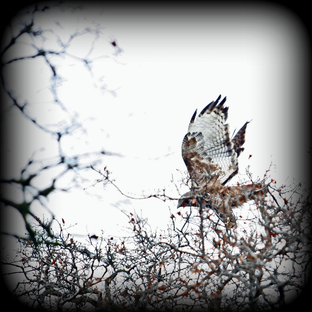
I Got Too Close... For Him - #4 of 100 Critters
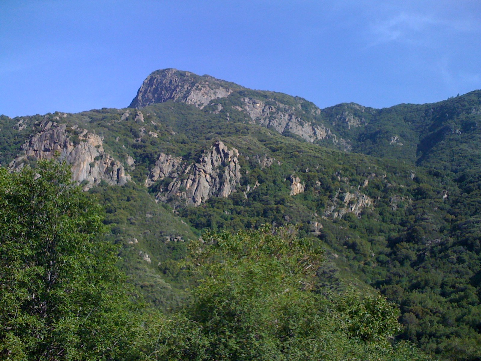
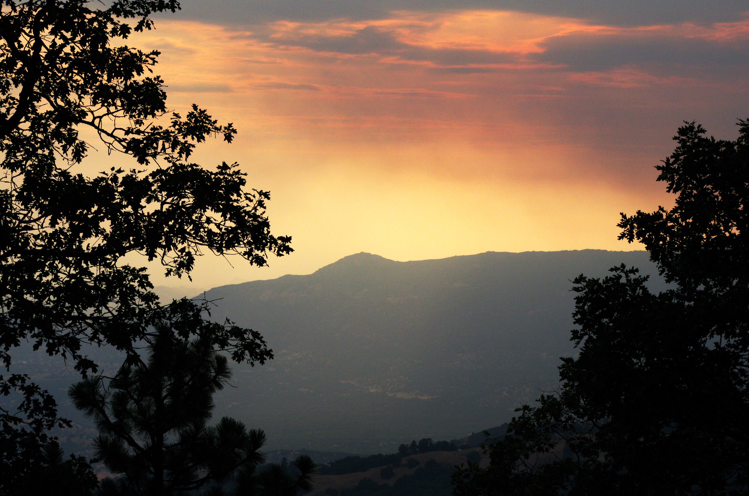
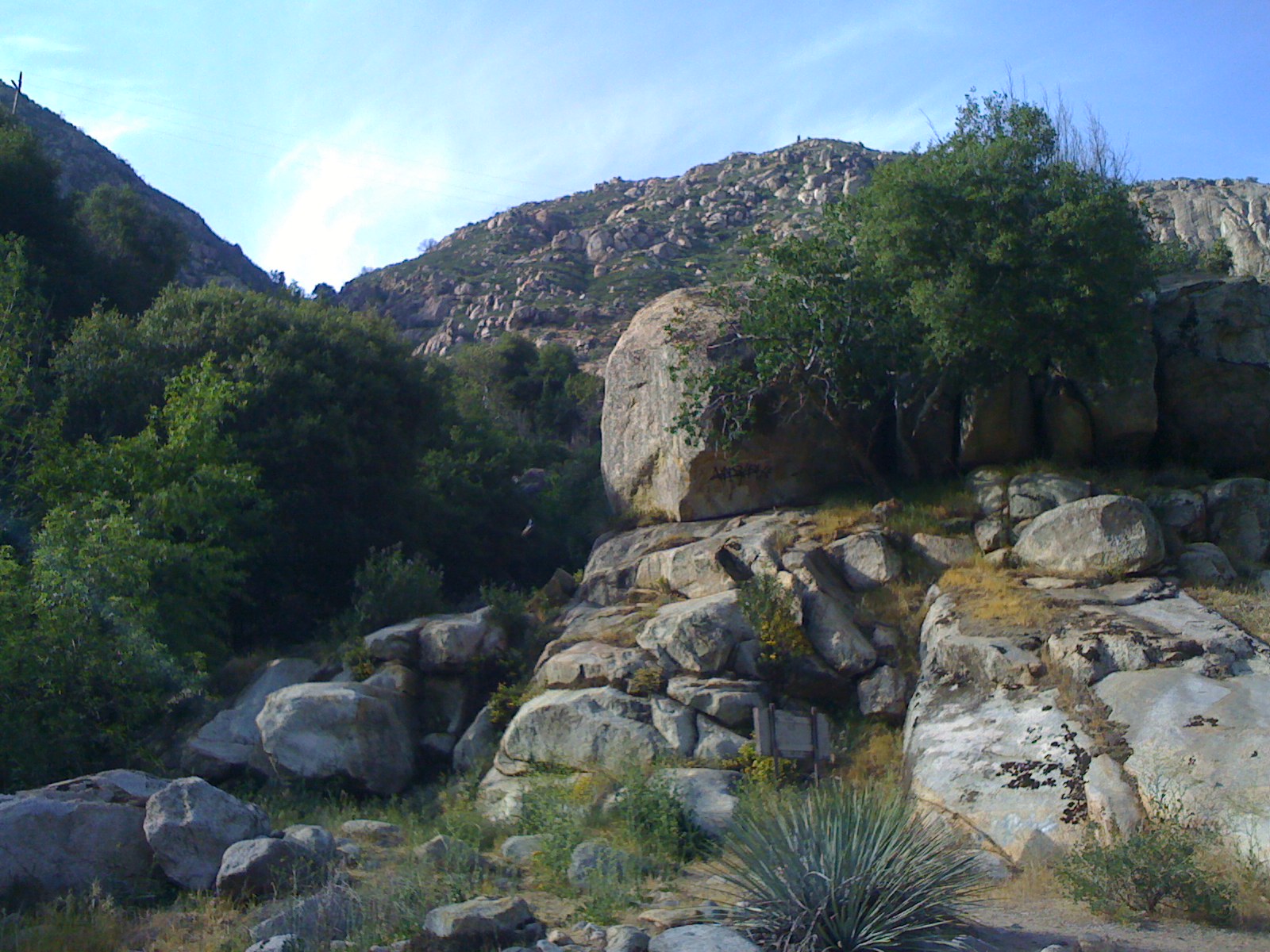
Great view
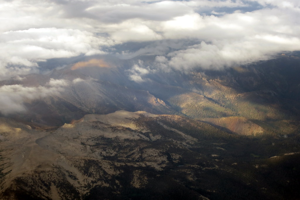
IMGP8391 - Forest Fire Smoke
GC17N4N - Mistletoe

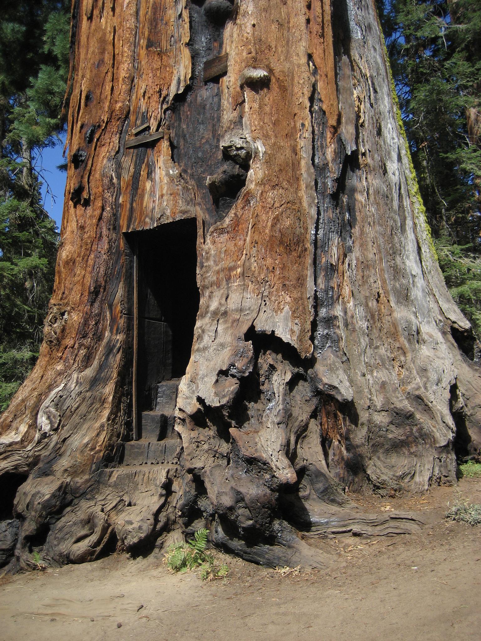
IMGP8397_Balch_Park-California

MounHome-58.jpg
IMGP8385 - backcountry Forest Fire smokes drifting out
GC17N4N - Mistletoe
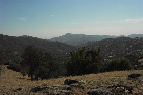
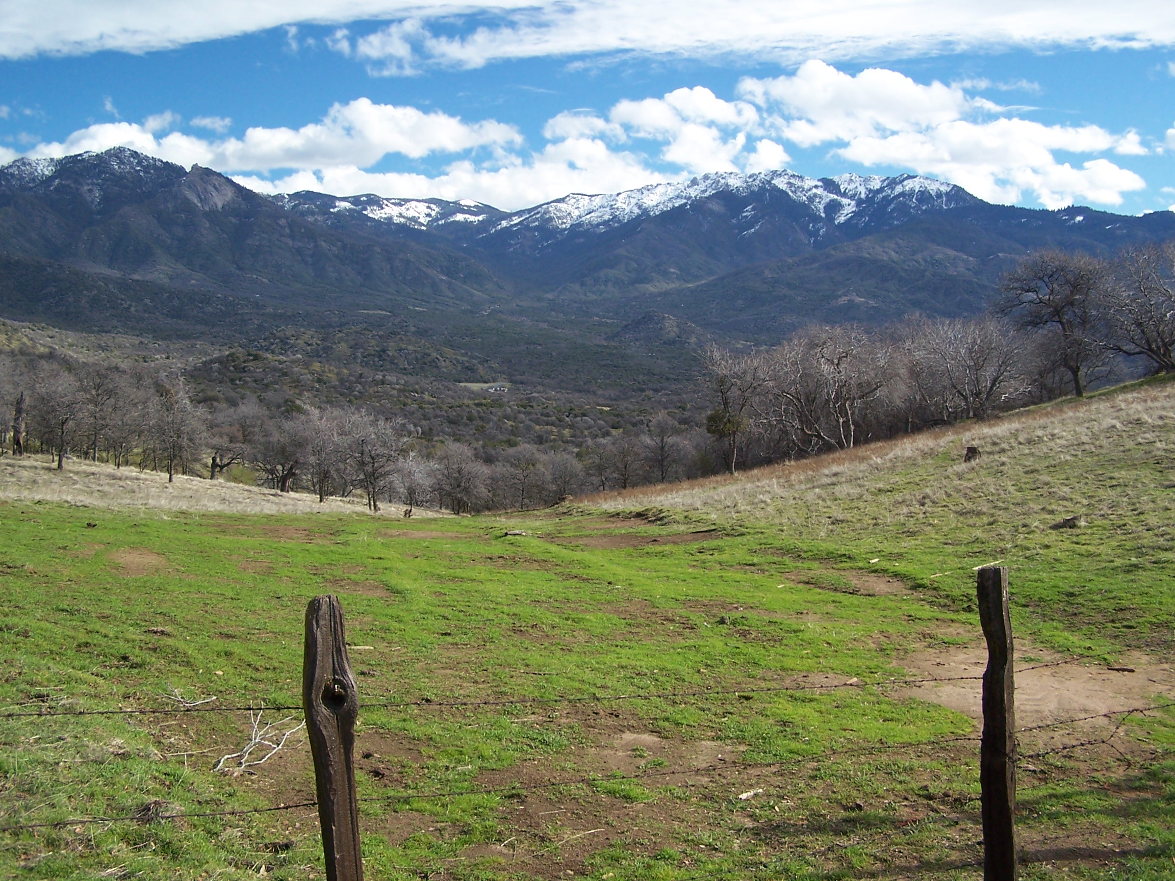
the view from Yokohl Valley Road
view of the foothills from Yokohl Valley Road
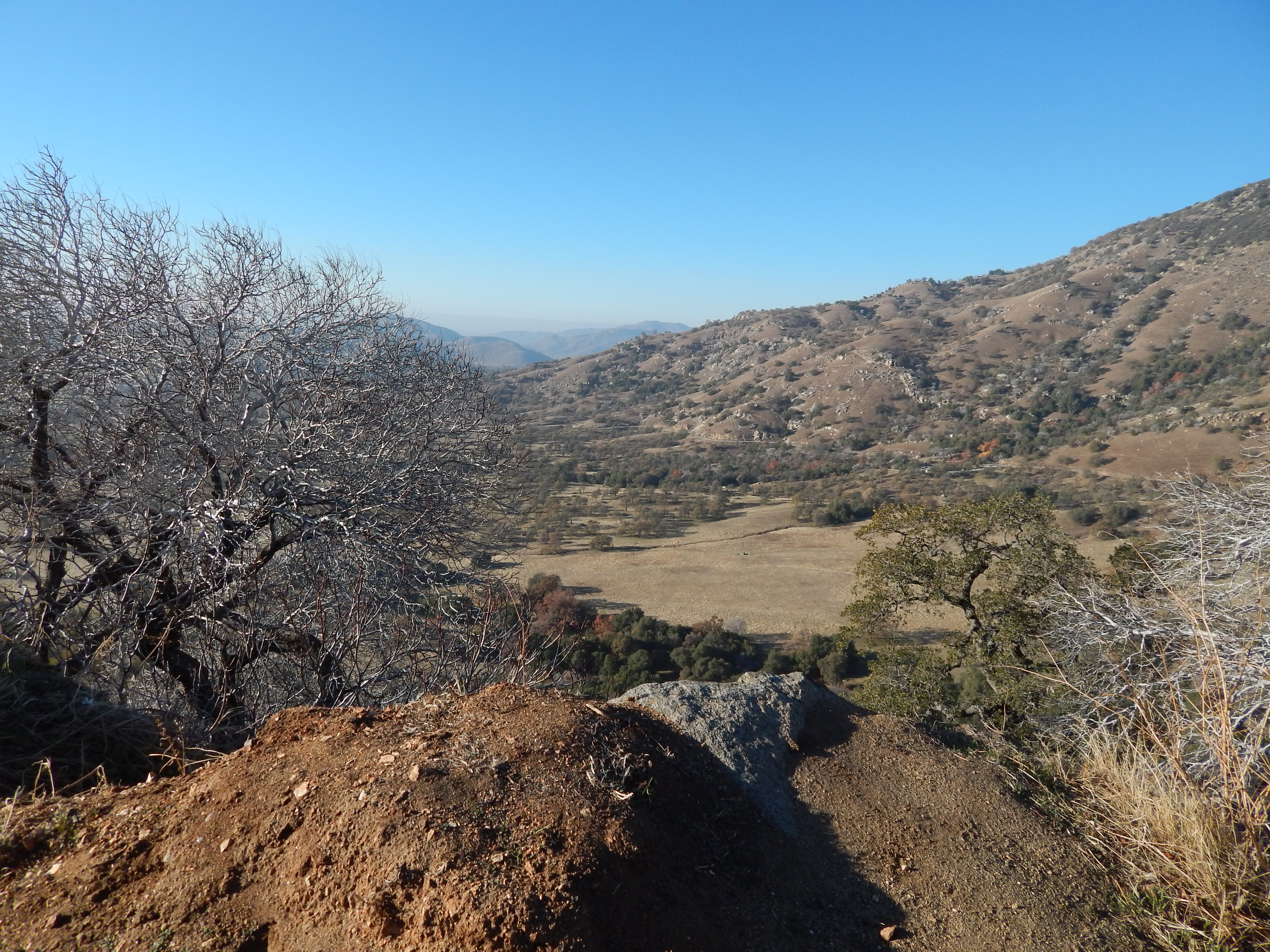
the view from Yokohl Valley Road in the California foothills

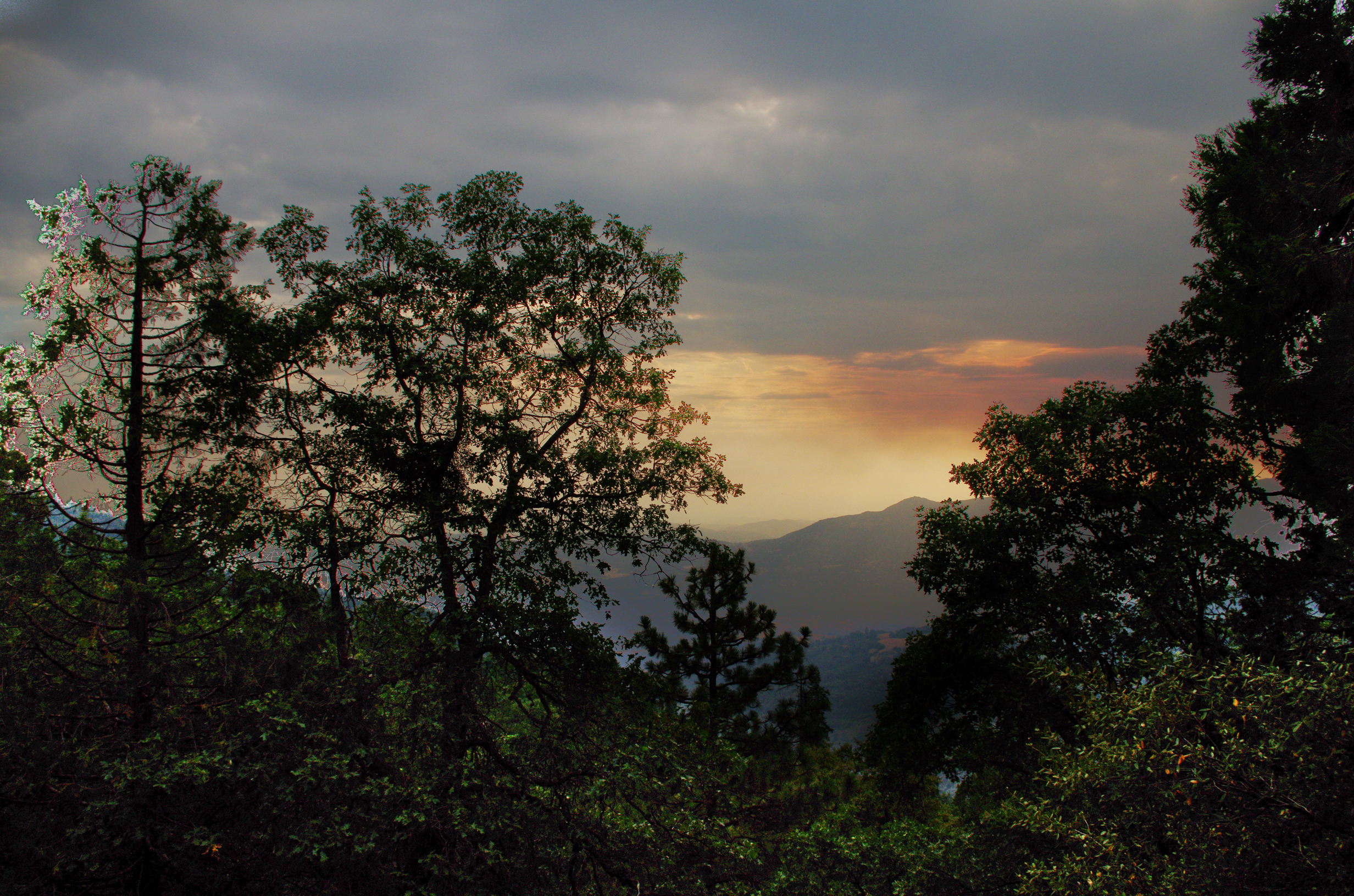
Break In The Canopy

Monsoon glow over the Maggie Lakes
Monsoon light over the Golden Trout

On The Crest

Not Quite Sheltered
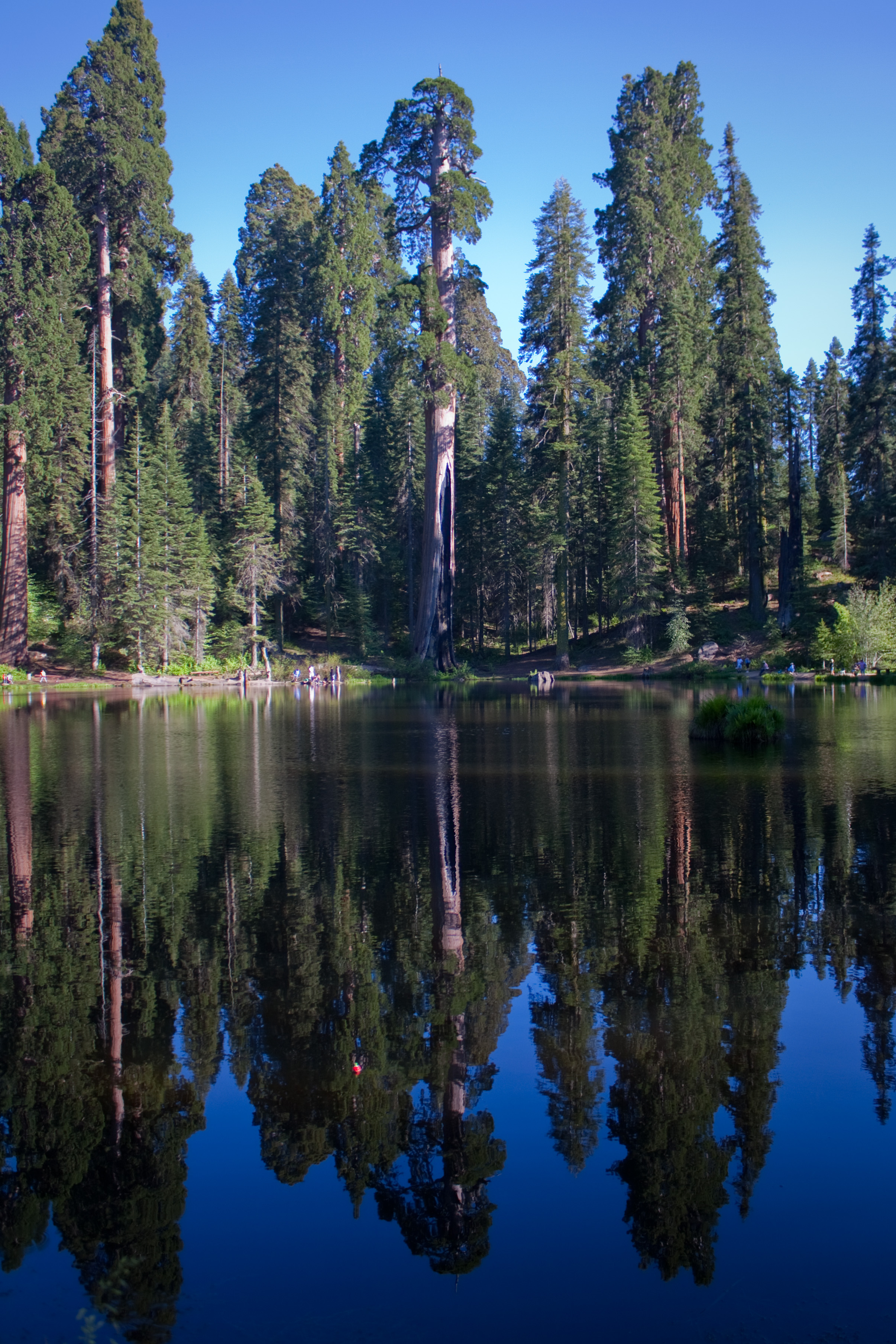
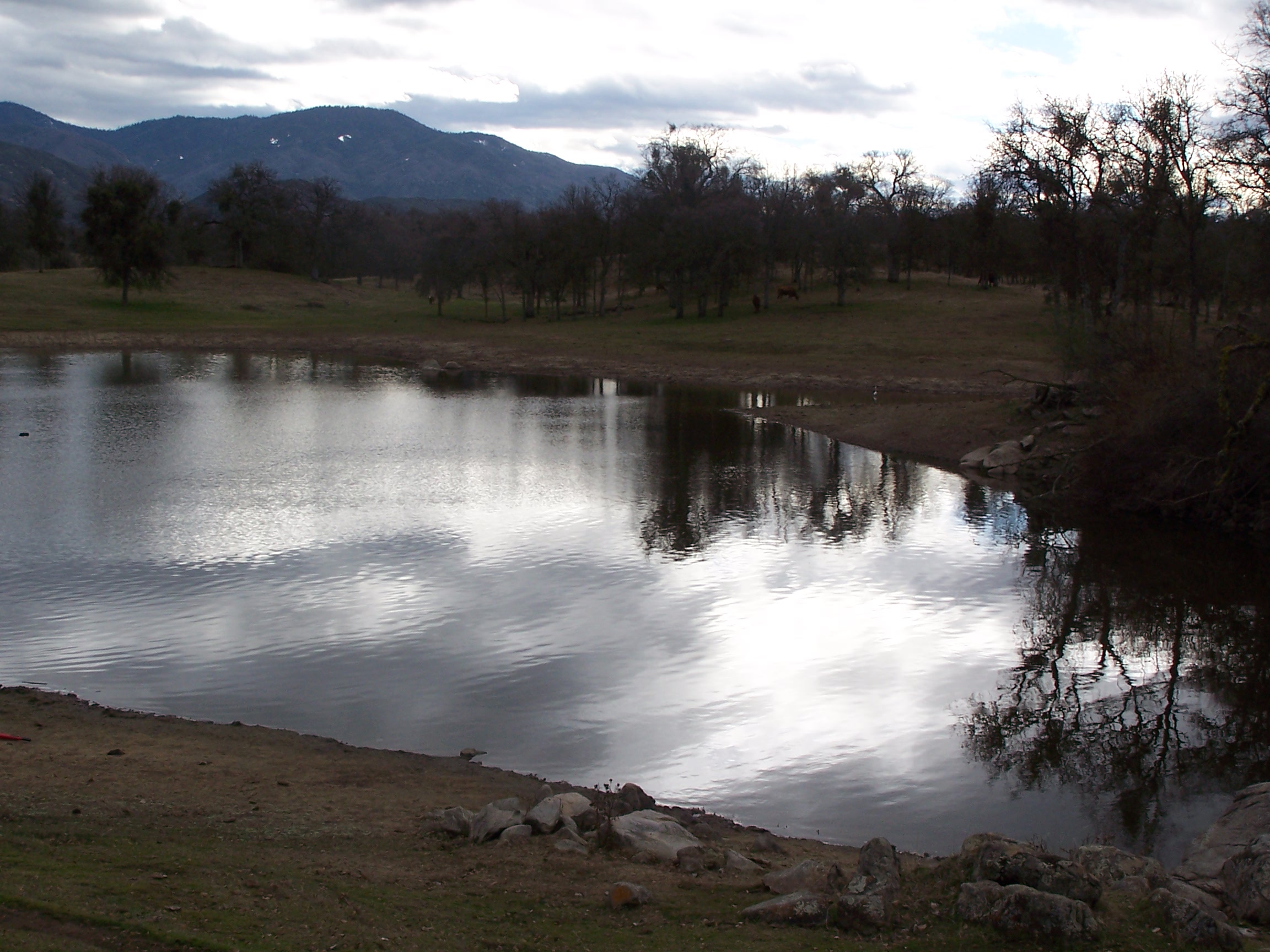
Sequoia Reflections
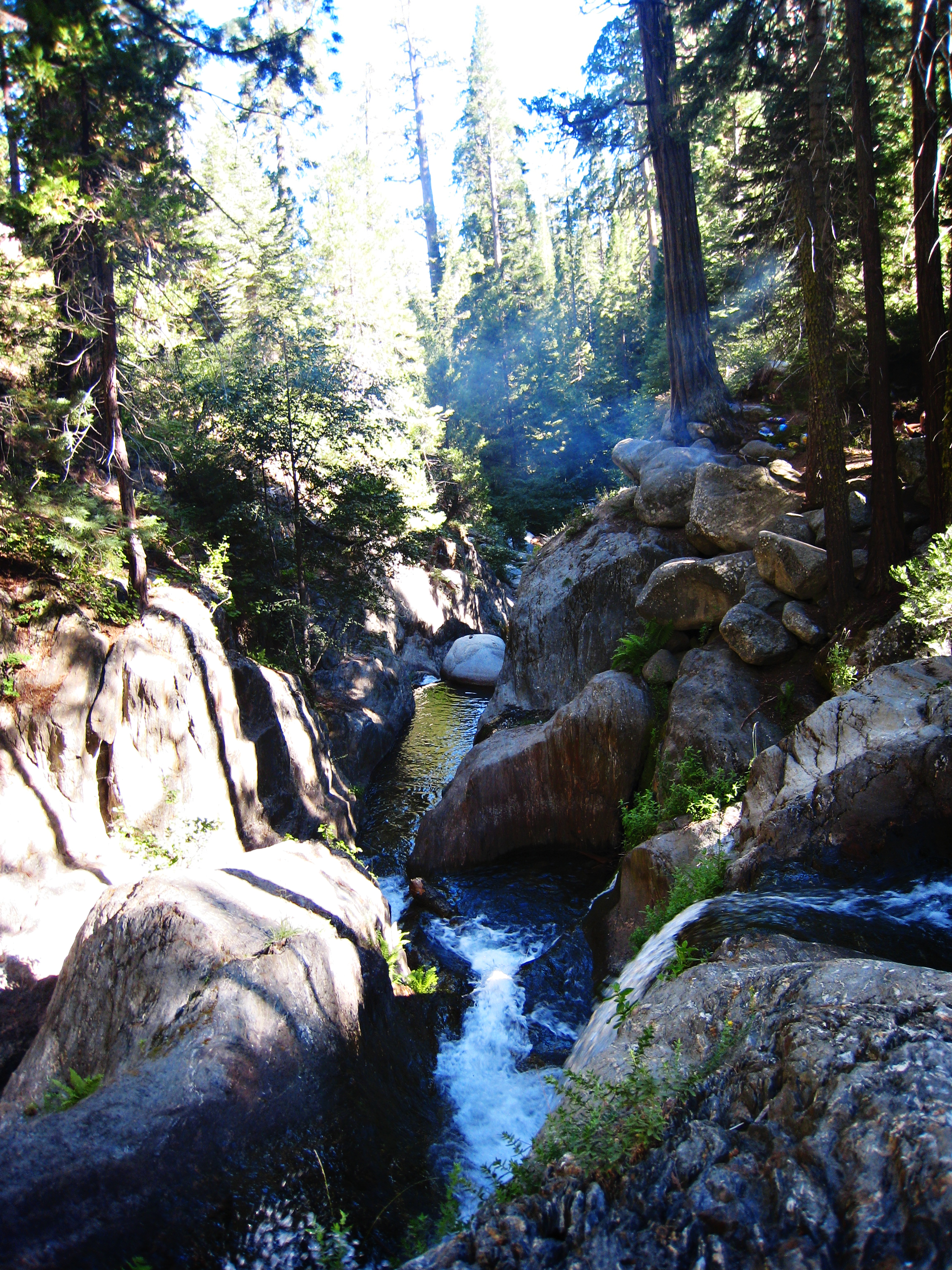
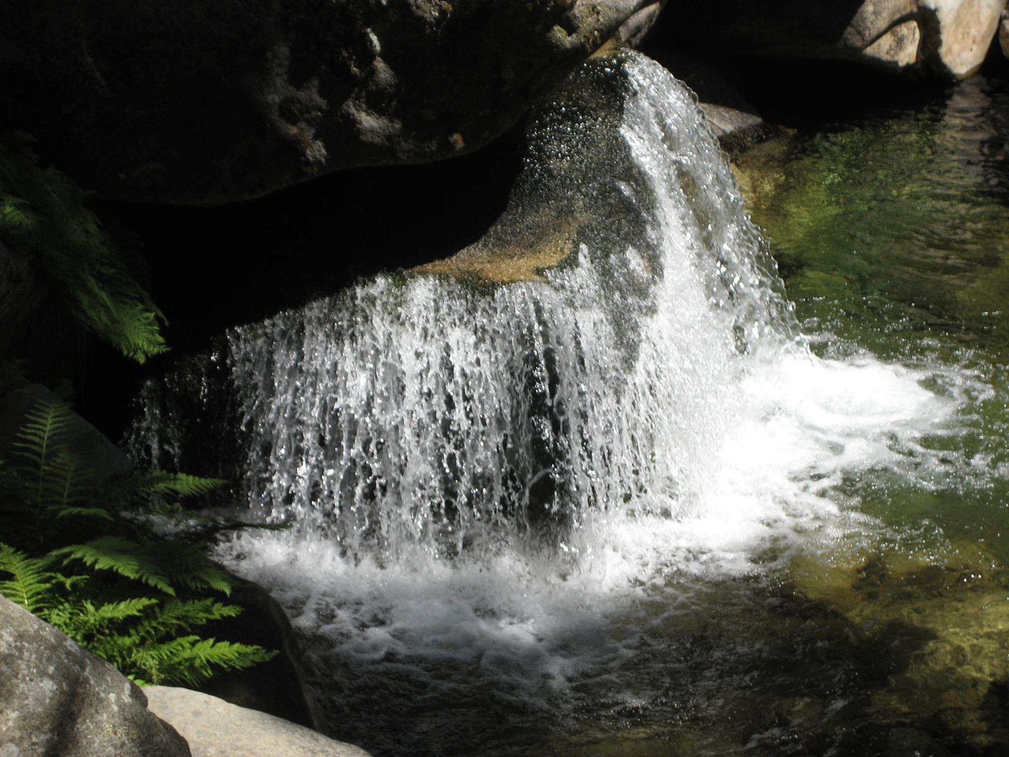
Hidden Falls Gorge

Thunderstorm over the Great Western Divide

Weighty Situation
BPT Half to Summit Lake 8-30 to 9-01 (92)
Took a break here
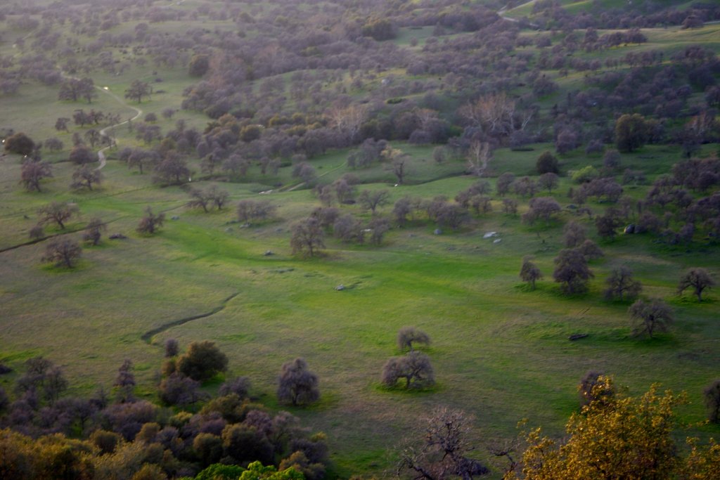
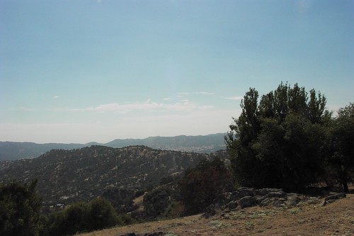
Valley Below

Lost And Found
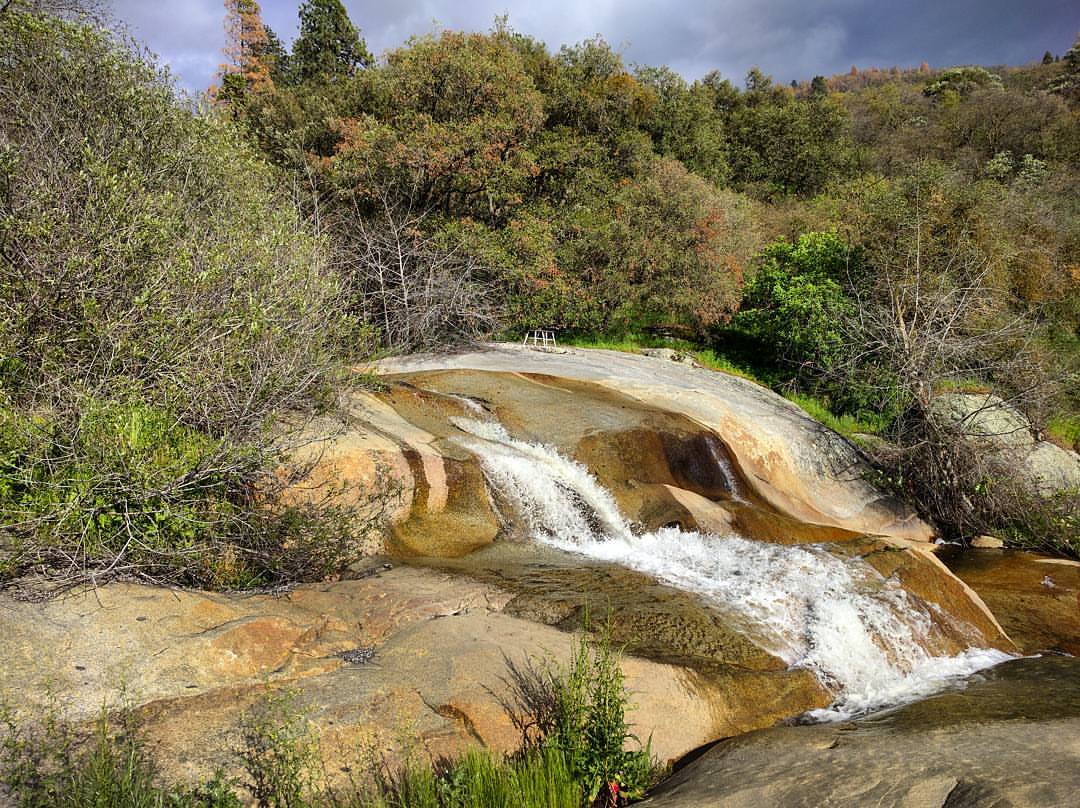
Tiny chairs overlook the waterfall beneath our cabin
BPT Half to Summit Lake 8-30 to 9-01 (19)
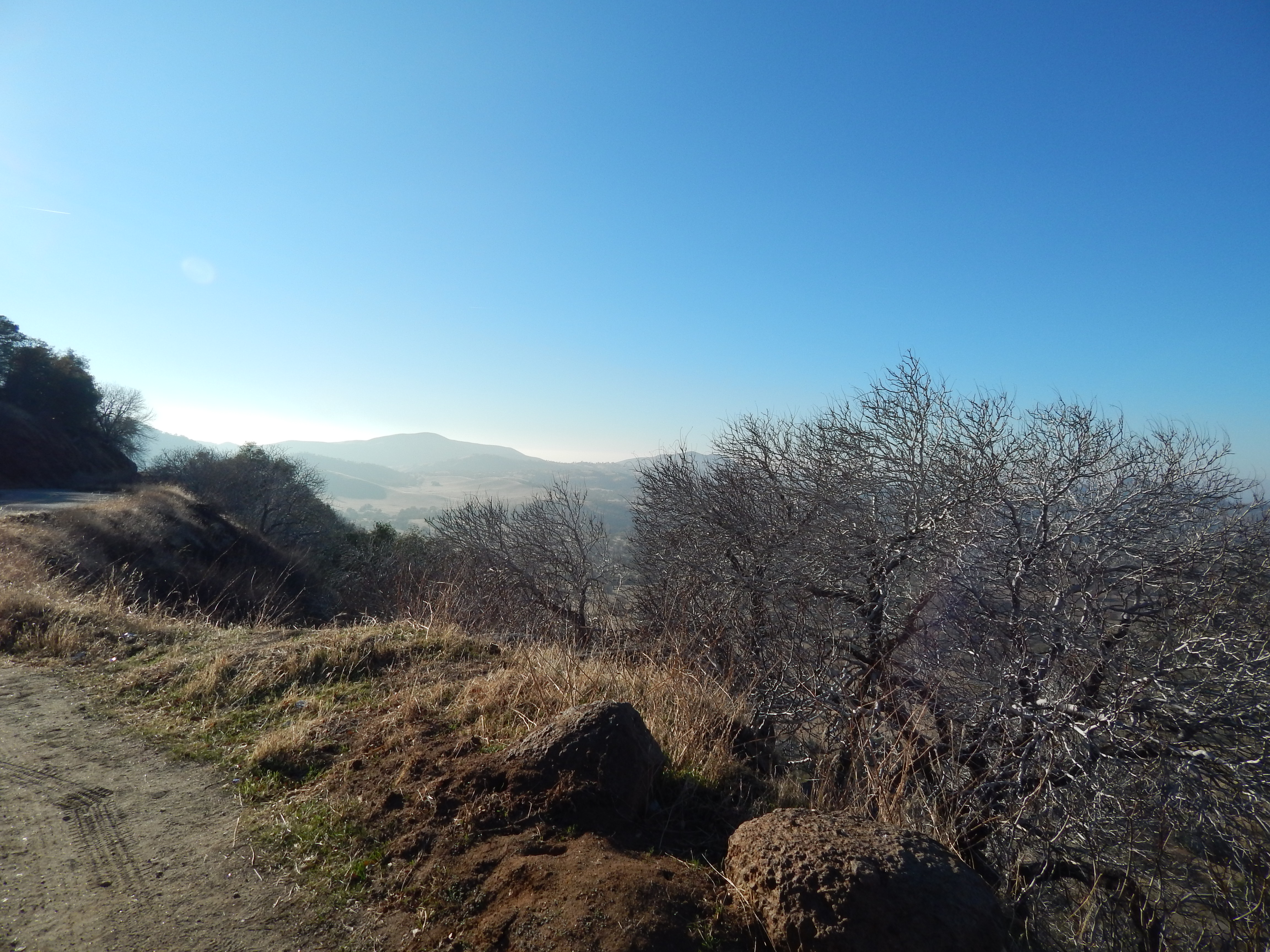
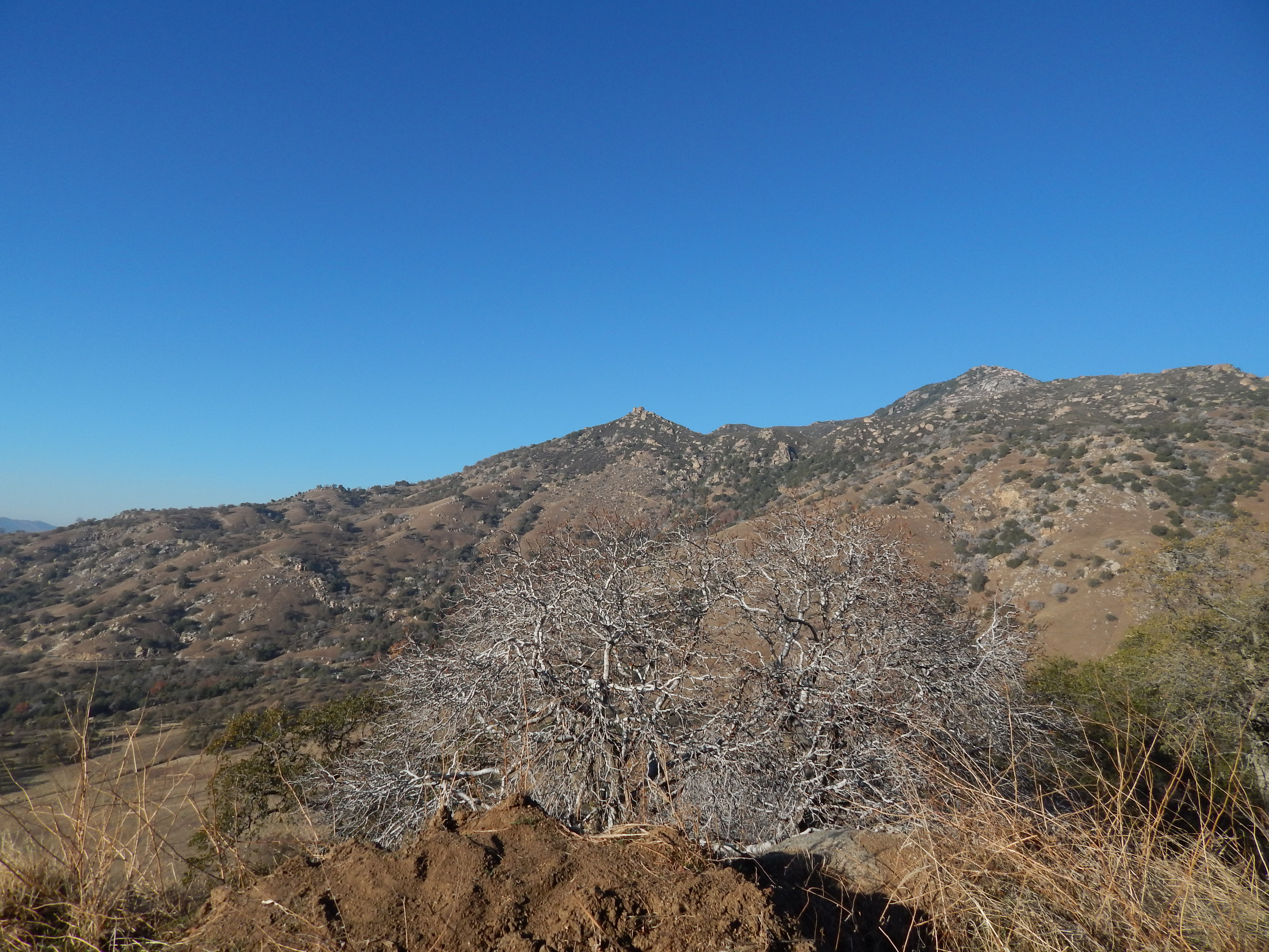
Tulare County Foothills
BPT Half to Summit Lake 8-30 to 9-01 (17)
Last light on Moses Mountain
Circle J Ranch
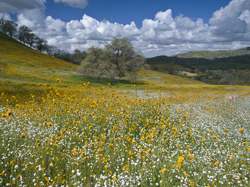
Spring Hillside
Topographic Map of Blue Ridge Dr, Springville, CA, USA
Find elevation by address:

Places near Blue Ridge Dr, Springville, CA, USA:
51110 Blue Ridge Dr
51110 Blue Ridge Dr
44892 Balch Park Rd
45117 Balch Park Rd
41544 Harris Rd
40893 Balch Park Rd
Milo
Scicon
Blue Oak Drive
39202 Balch Park Rd
Balch Park Campground
38349 Balch Park Rd
Coffee Camp Campground
Balch Park Road
Balch Park Road
Springville
35246 Tule River Dr
54862 Ponderosa Dr
Tulare County
Mineral King Road
Recent Searches:
- Elevation of 7 Waterfall Way, Tomball, TX, USA
- Elevation of SW 57th Ave, Portland, OR, USA
- Elevation of Crocker Dr, Vacaville, CA, USA
- Elevation of Pu Ngaol Community Meeting Hall, HWHM+3X7, Krong Saen Monourom, Cambodia
- Elevation of Royal Ontario Museum, Queens Park, Toronto, ON M5S 2C6, Canada
- Elevation of Groblershoop, South Africa
- Elevation of Power Generation Enterprises | Industrial Diesel Generators, Oak Ave, Canyon Country, CA, USA
- Elevation of Chesaw Rd, Oroville, WA, USA
- Elevation of N, Mt Pleasant, UT, USA
- Elevation of 6 Rue Jules Ferry, Beausoleil, France