Elevation of Milo, CA, USA
Location: United States > California > Tulare County > Springville >
Longitude: -118.81731
Latitude: 36.2202256
Elevation: 555m / 1821feet
Barometric Pressure: 95KPa
Elevation Map:
Satellite Map:
Related Photos:

A Thing of Beauty is a Joy Forever...

Scanning the meadow for dinner

IMGP8391 - Forest Fire Smoke

CONSUMERISM #3 of 100 Stranger Critters

GC17N4N - Mistletoe

IMGP8385 - backcountry Forest Fire smokes drifting out

Great Energy B & B a83
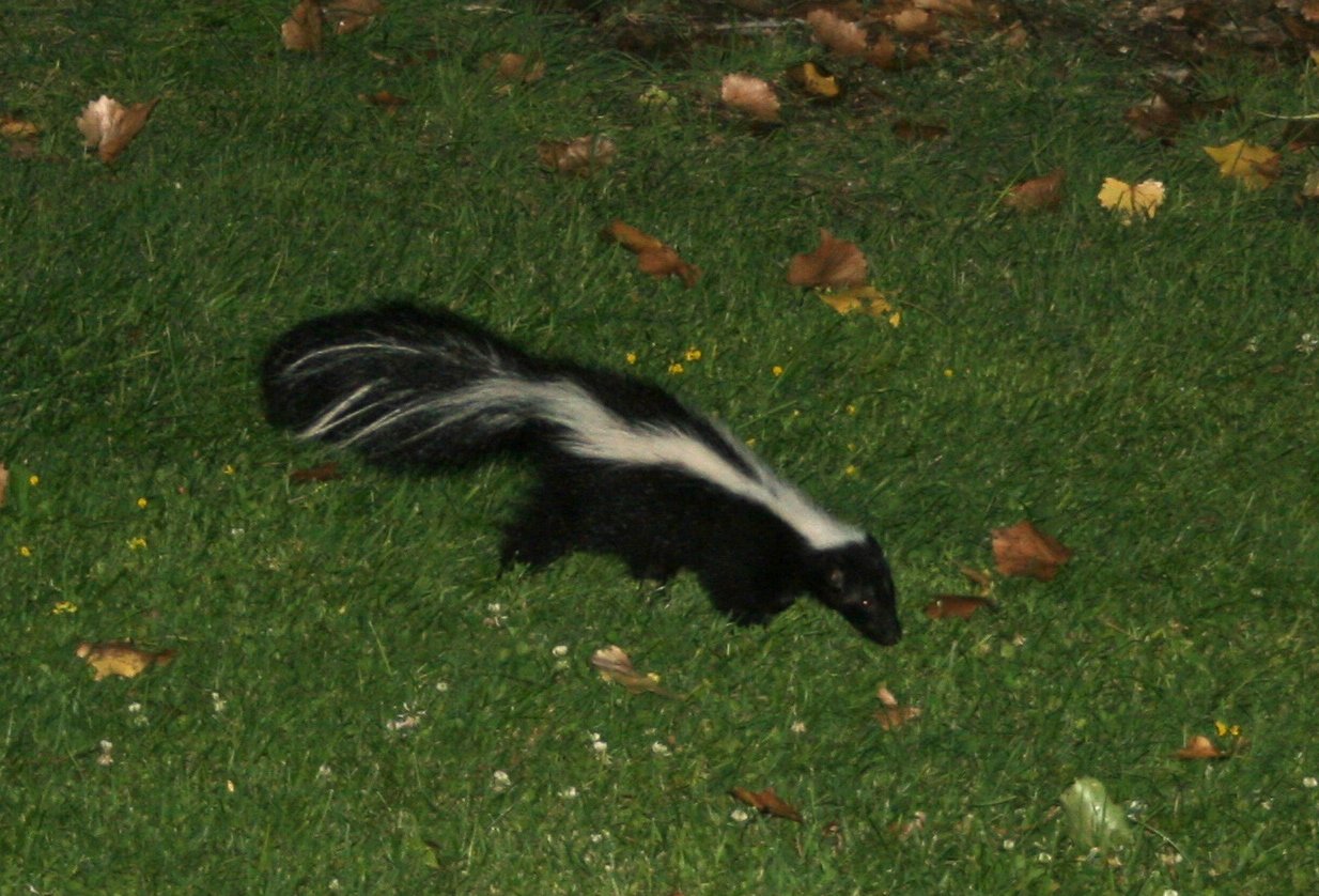
Bobcat, Polecat.... I'm getting closer!

Great Energy B & B a86

Great Energy B & B a85

MounHome-58.jpg

3 Palms

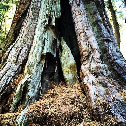
Sequoia Reflections

BPT Half to Summit Lake 8-30 to 9-01 (20)

BPT Half to Summit Lake 8-30 to 9-01 (92)

Great view
#Impossible to #make a #Sequoia #fit in the #Instagram #format! 2000 #years are a llot! #love #colors of #nature @herrerafluis #California #SequoiaNationalPark

Yokohl Valley

Northern part of the river

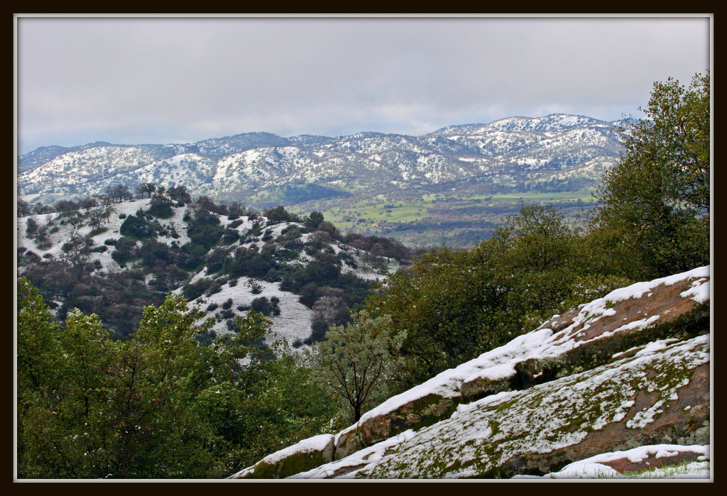
Tulare County Foothills

BPT Half to Summit Lake 8-30 to 9-01 (17)

Last light on Moses Mountain

Circle J Ranch

South Fork Falls

Camp Wishon, Sequoia Nat'l. Forest

IMG_3527.JPG

GC17N4N - Mistletoe
Yokohl Valley

MounHome-36.jpg
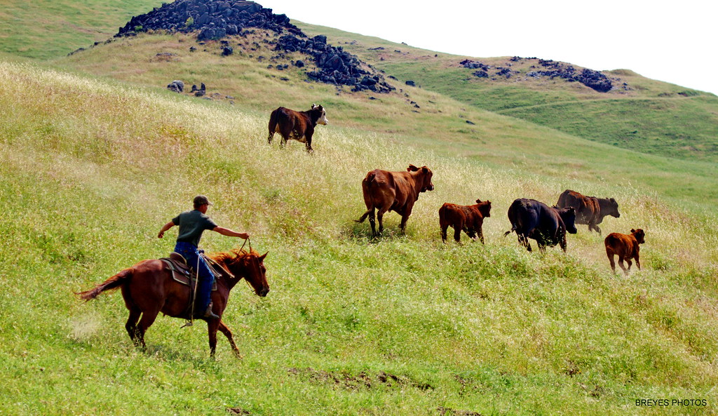
Tule River Cowboys

Camp Wishon, Sequoia Nat'l. Forest
Topographic Map of Milo, CA, USA
Find elevation by address:

Places near Milo, CA, USA:
40893 Balch Park Rd
Blue Oak Drive
41544 Harris Rd
39202 Balch Park Rd
38349 Balch Park Rd
Scicon
44892 Balch Park Rd
45117 Balch Park Rd
51110 Blue Ridge Dr
51110 Blue Ridge Dr
51110 Blue Ridge Dr
Balch Park Road
Balch Park Road
Springville
Tulare County
35246 Tule River Dr
Coffee Camp Campground
CA-, Springville, CA, USA
Balch Park Campground
31267 Ca-190
Recent Searches:
- Elevation of Zimmer Trail, Pennsylvania, USA
- Elevation of 87 Kilmartin Ave, Bristol, CT, USA
- Elevation of Honghe National Nature Reserve, QP95+PJP, Tongjiang, Heilongjiang, Jiamusi, Heilongjiang, China
- Elevation of Hercules Dr, Colorado Springs, CO, USA
- Elevation of Szlak pieszy czarny, Poland
- Elevation of Griffing Blvd, Biscayne Park, FL, USA
- Elevation of Kreuzburger Weg 13, Düsseldorf, Germany
- Elevation of Gateway Blvd SE, Canton, OH, USA
- Elevation of East W.T. Harris Boulevard, E W.T. Harris Blvd, Charlotte, NC, USA
- Elevation of West Sugar Creek, Charlotte, NC, USA