Elevation of Blue Oak Drive, Blue Oak Dr, California, USA
Location: United States > California > Tulare County > Springville >
Longitude: -118.81787
Latitude: 36.2060956
Elevation: 542m / 1778feet
Barometric Pressure: 95KPa
Elevation Map:
Satellite Map:
Related Photos:
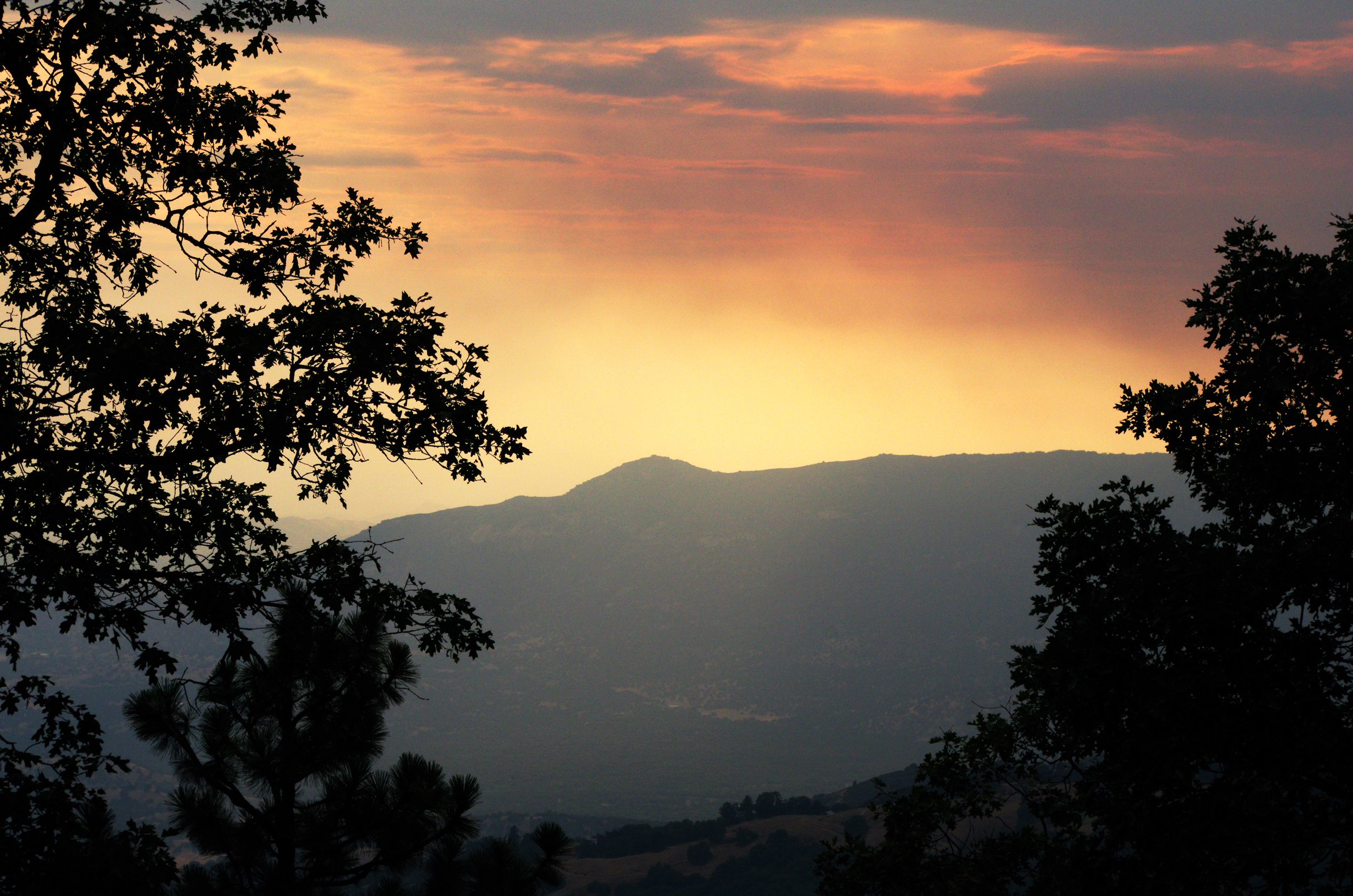
A Thing of Beauty is a Joy Forever...

MounHome-58.jpg

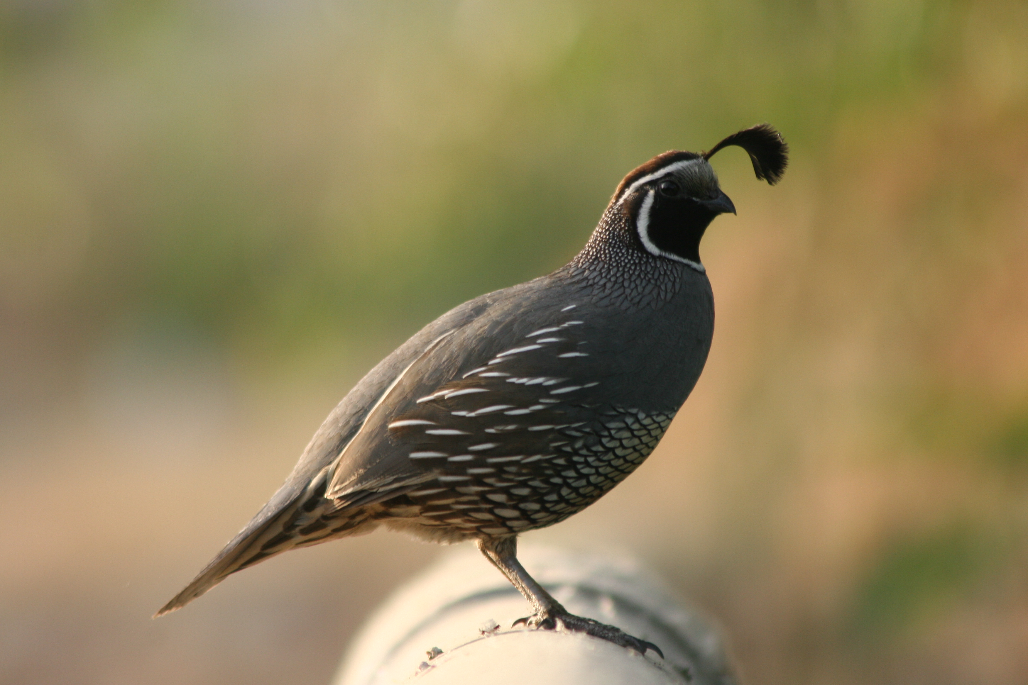
Scanning the meadow for dinner
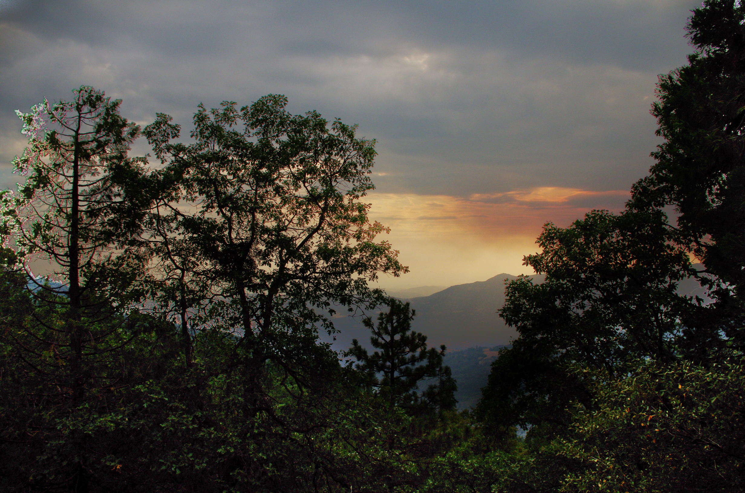
IMGP8391 - Forest Fire Smoke
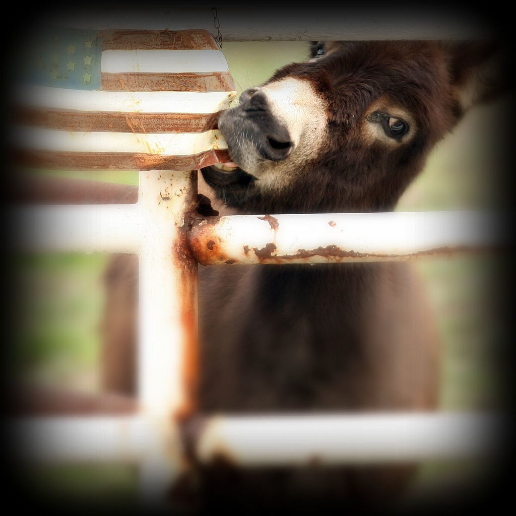
CONSUMERISM #3 of 100 Stranger Critters
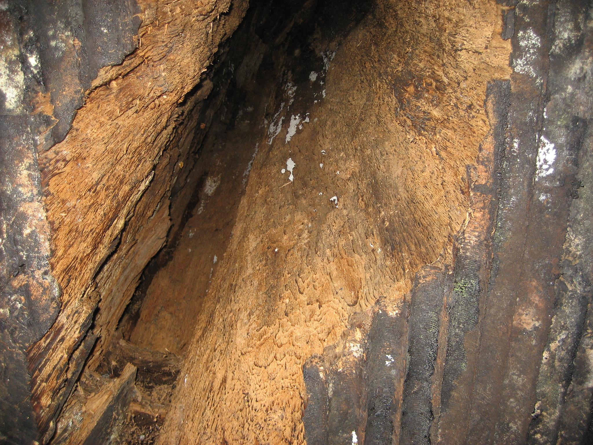
GC17N4N - Mistletoe
IMGP8385 - backcountry Forest Fire smokes drifting out
Great Energy B & B a83
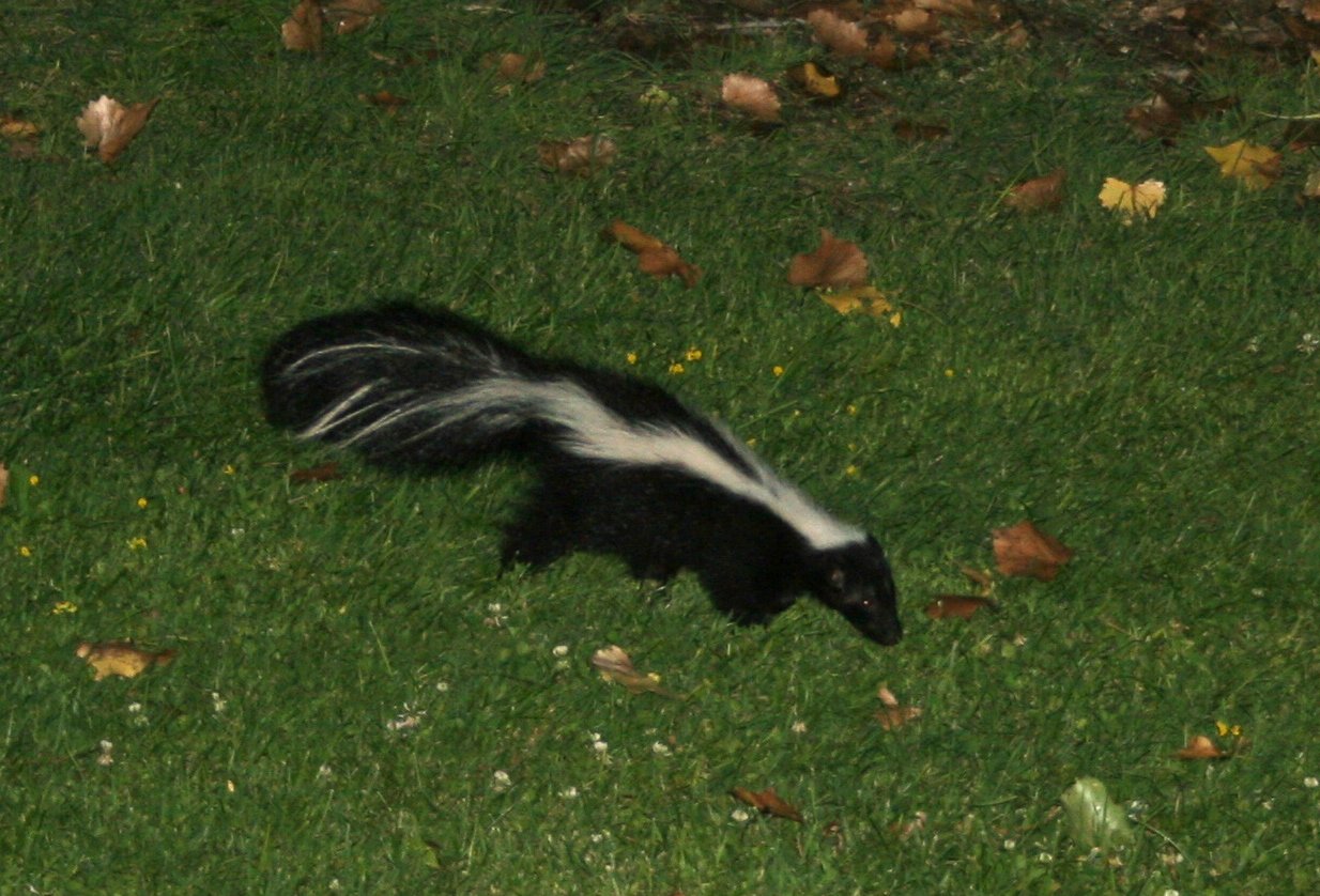
Bobcat, Polecat.... I'm getting closer!
Great Energy B & B a86

Great Energy B & B a85
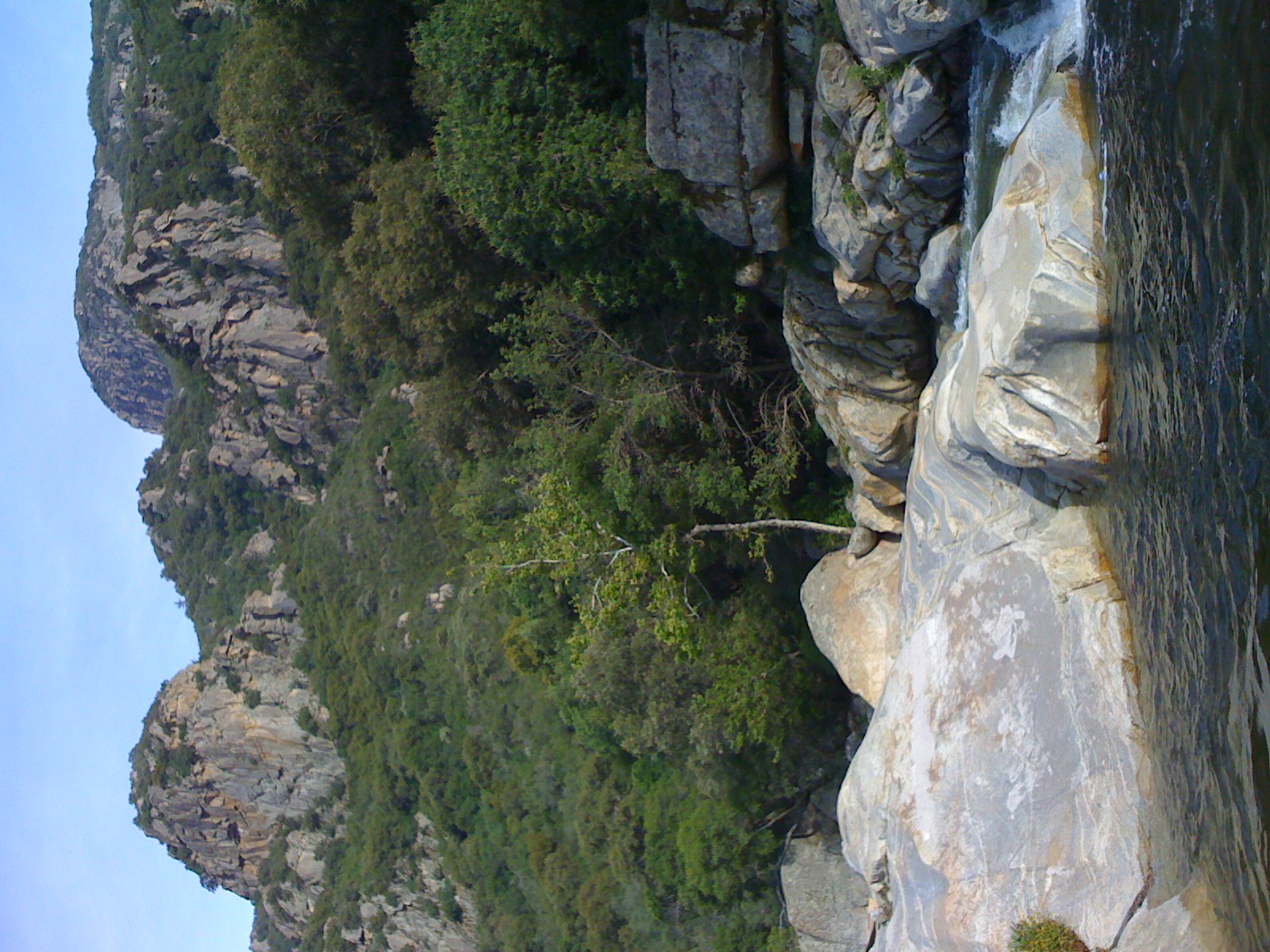
Pinnacles above the Middle Fork Tule River, North Fork
3 Palms
Sequoia Reflections

BPT Half to Summit Lake 8-30 to 9-01 (20)
Mustard flowers
BPT Half to Summit Lake 8-30 to 9-01 (92)
Success Valley Storm
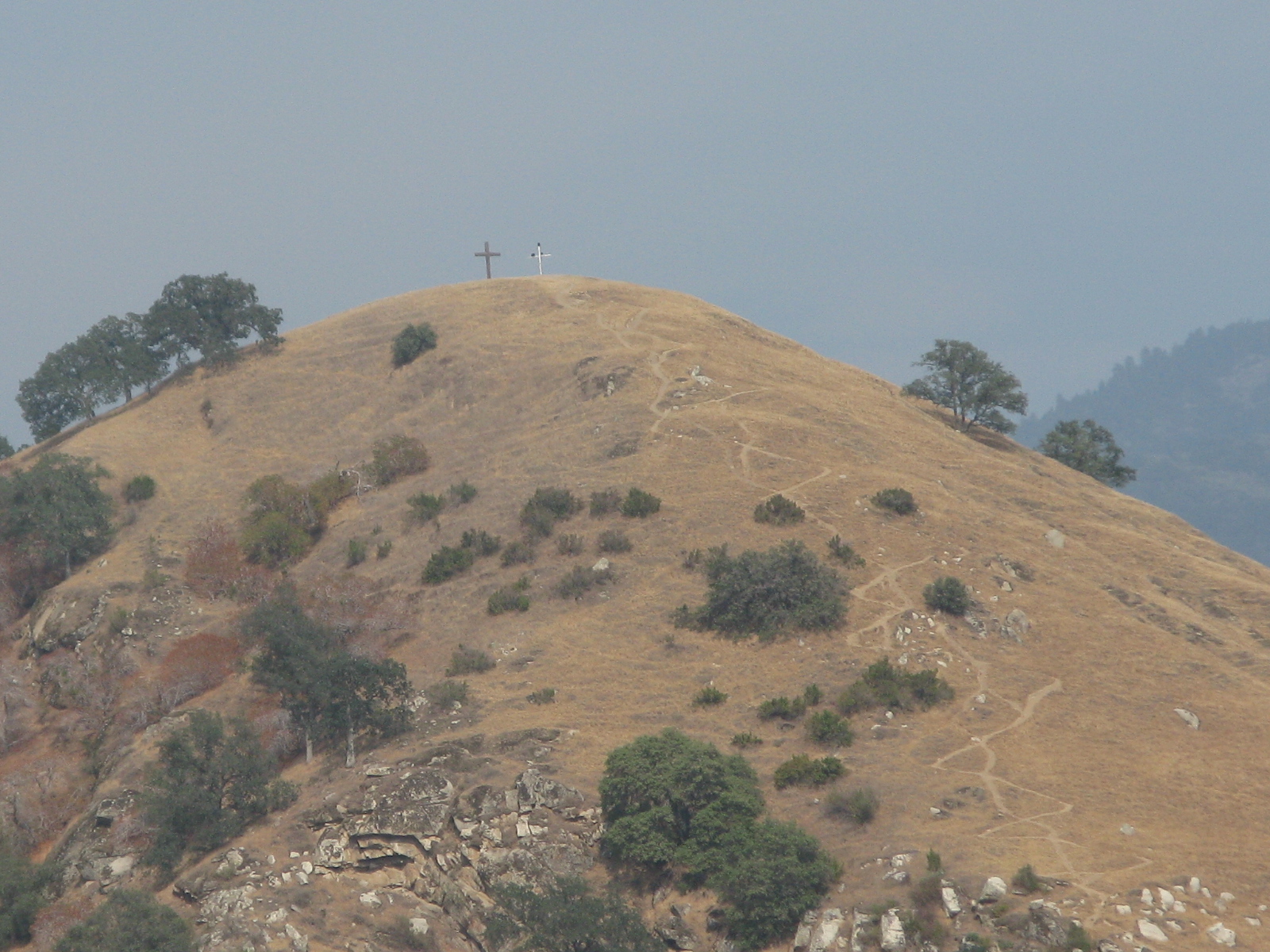
Great view
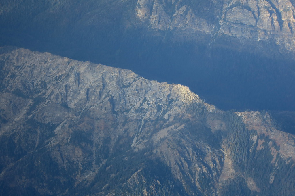
Last light on Moses Mountain
Northern part of the river
BPT Half to Summit Lake 8-30 to 9-01 (17)
IMG_3527.JPG
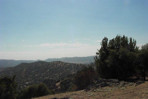
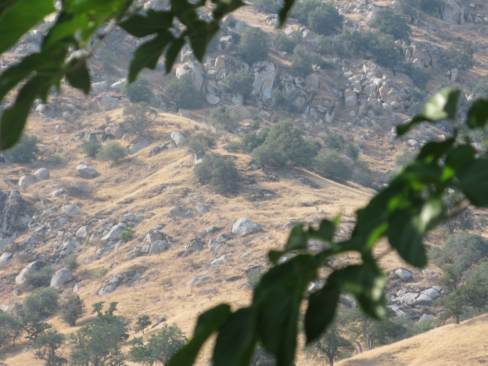
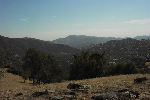
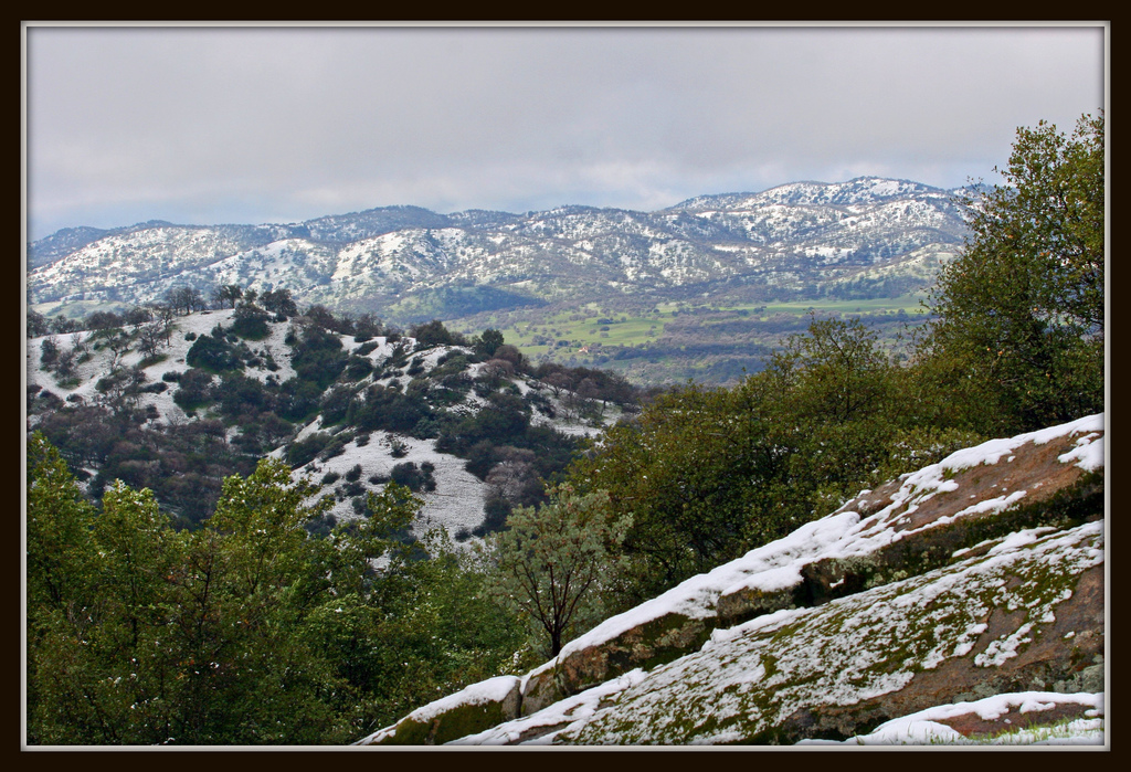
Tulare County Foothills
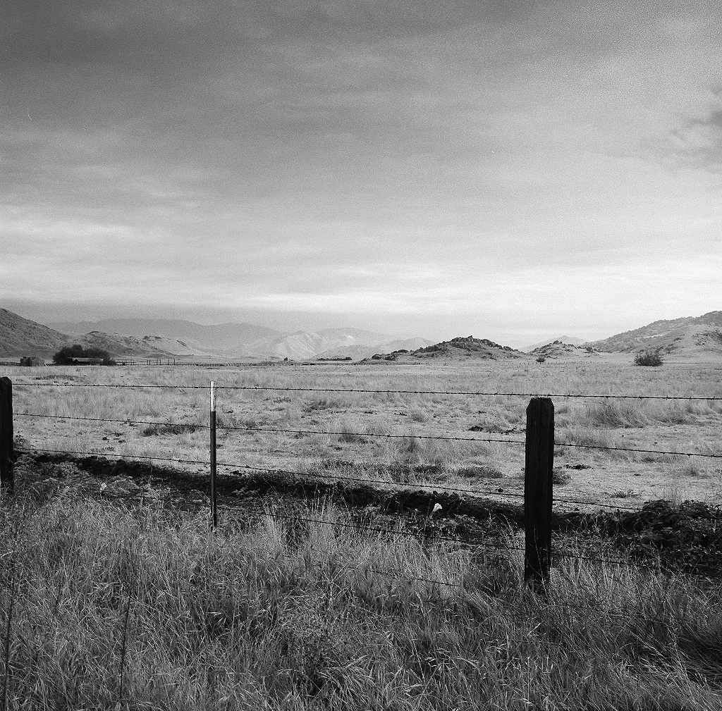
Circle J Ranch
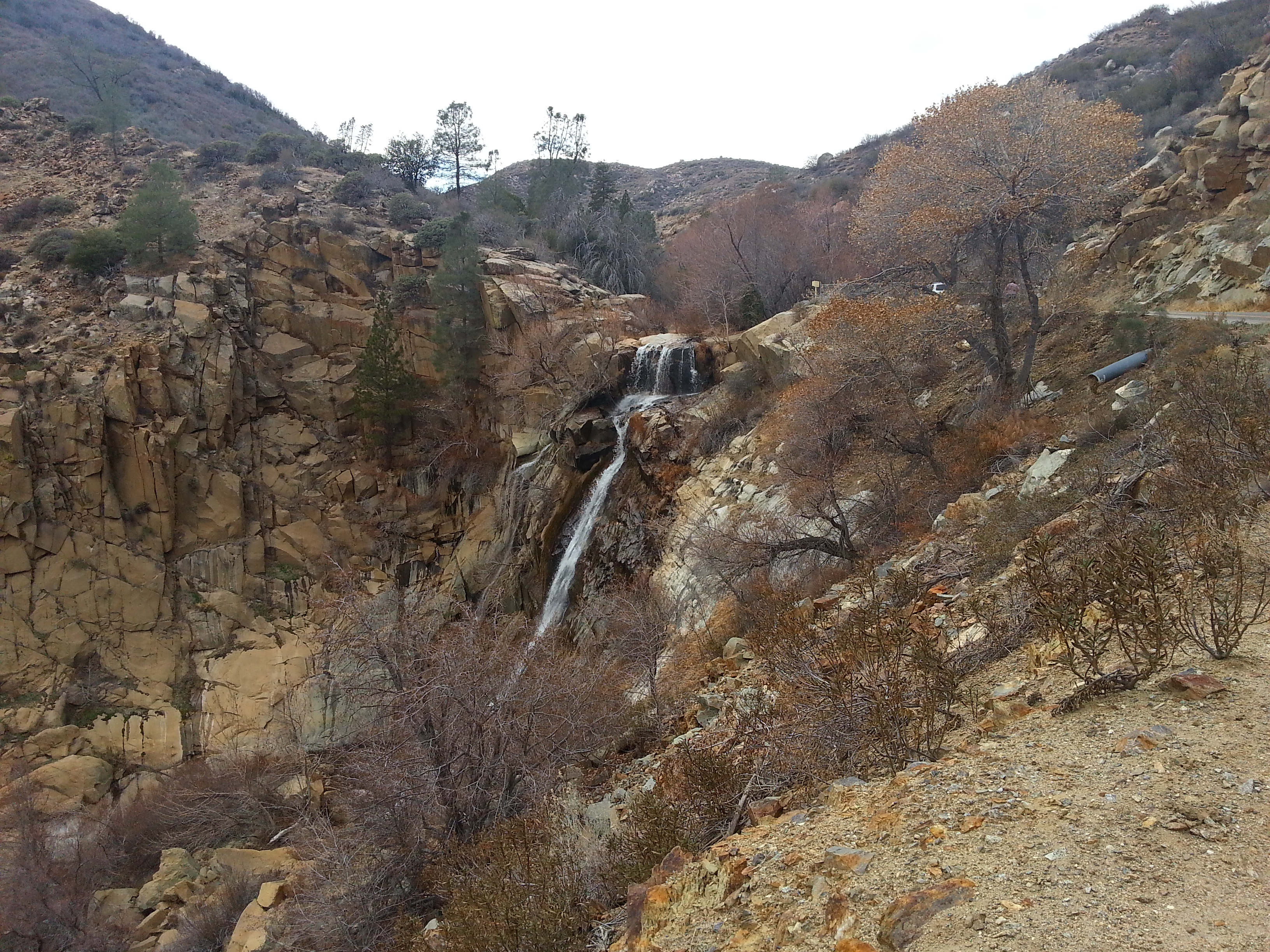
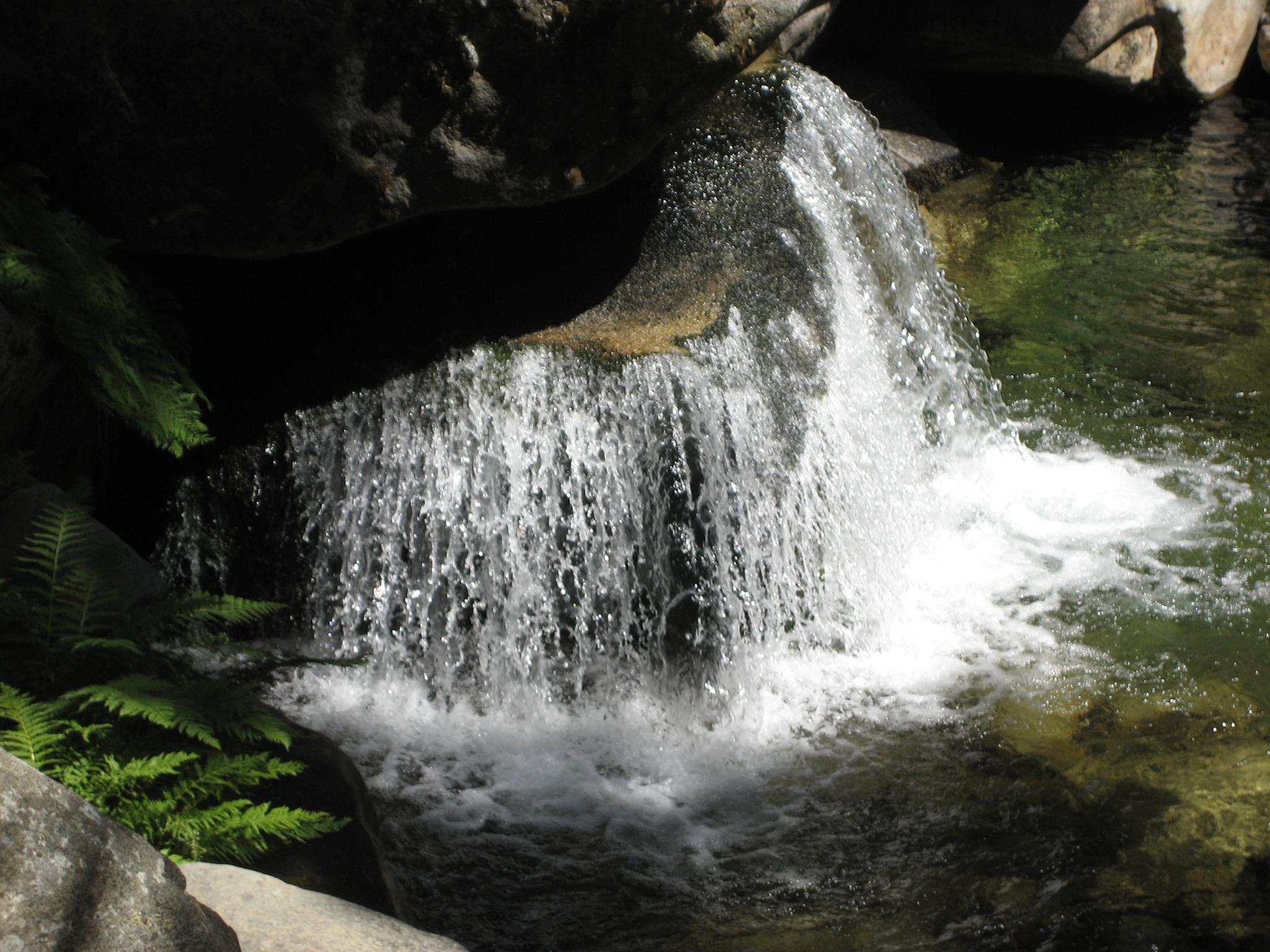
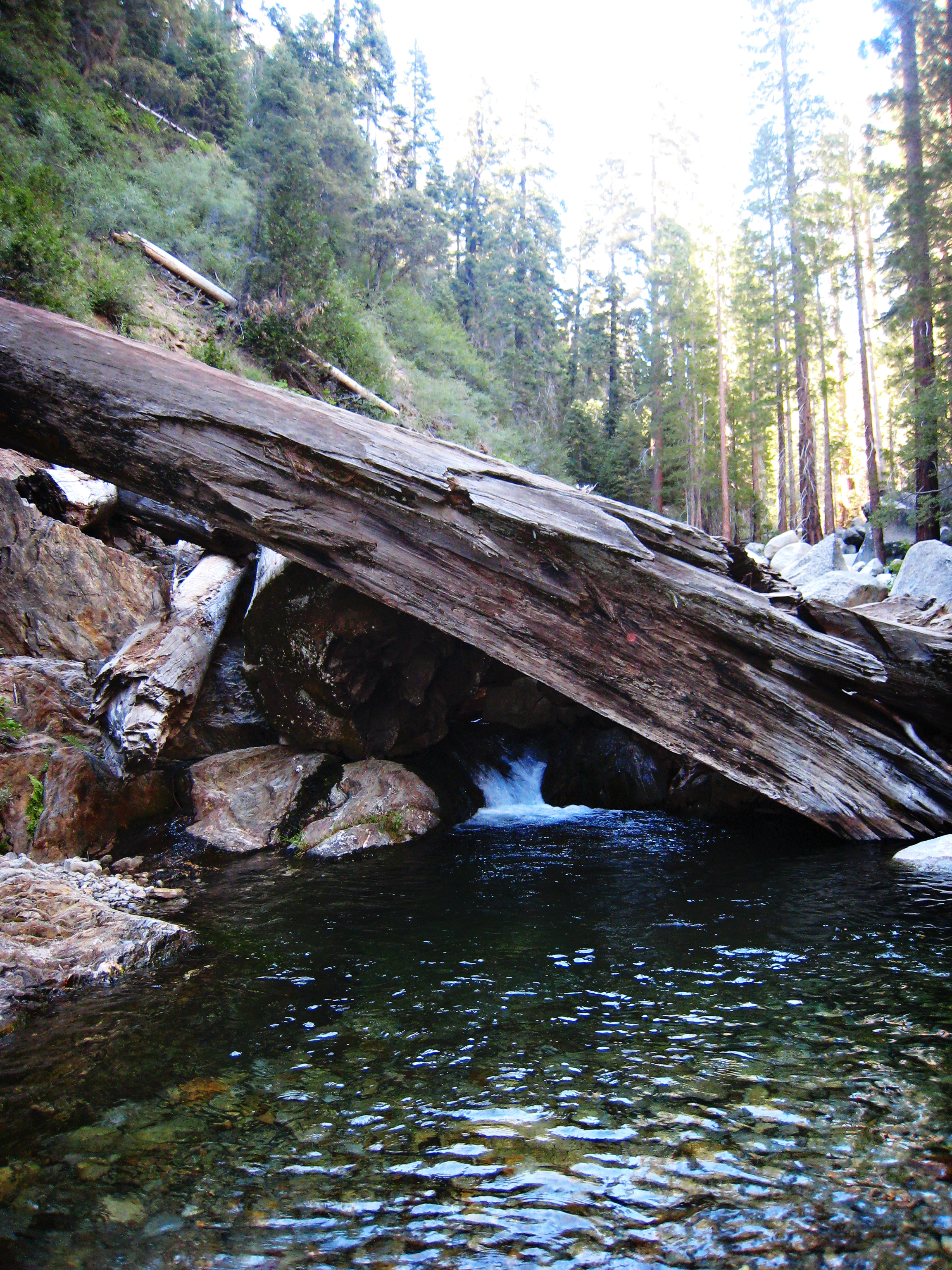
South Fork Falls
Camp Wishon, Sequoia Nat'l. Forest
GC17N4N - Mistletoe
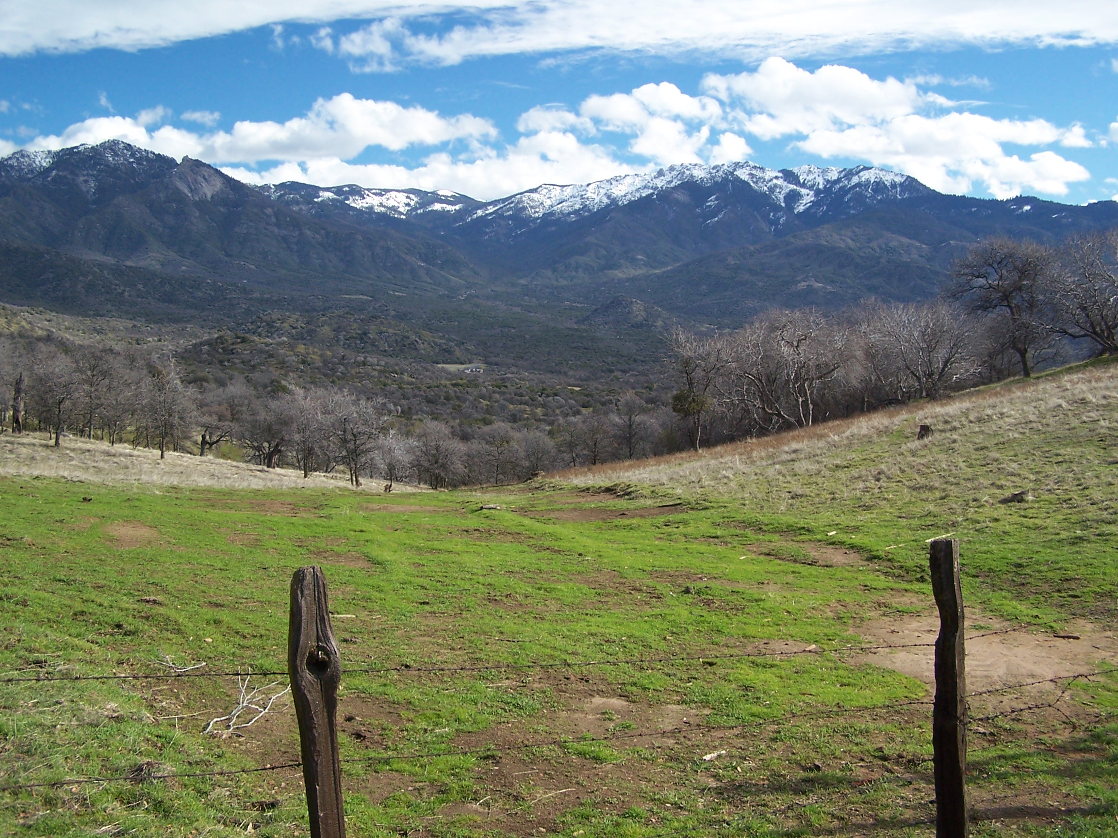
Yokohl Valley

MounHome-36.jpg
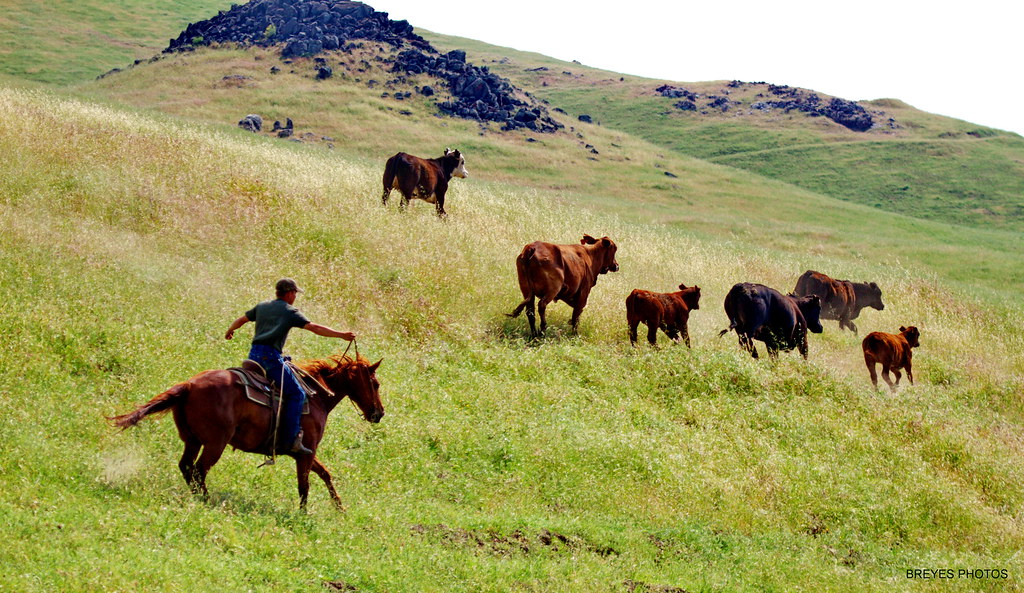
Tule River Cowboys
Topographic Map of Blue Oak Drive, Blue Oak Dr, California, USA
Find elevation by address:

Places near Blue Oak Drive, Blue Oak Dr, California, USA:
39202 Balch Park Rd
38349 Balch Park Rd
Scicon
Balch Park Road
Balch Park Road
Springville
35246 Tule River Dr
Coffee Camp Campground
CA-, Springville, CA, USA
54862 Ponderosa Dr
386 John Lewis Dr
Chase Ave, Springville, CA, USA
25 Easy Ct
1380 Ca-190
Camp Nelson
Sequoia Dr, Springville, CA, USA
51840 Ca-190
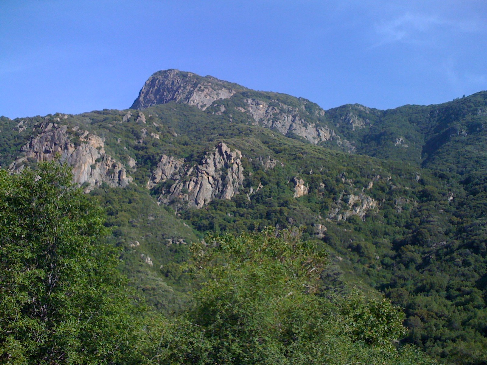
Slate Mountain
Quaker Meadow
57716 Fox Dr
Recent Searches:
- Elevation of 7 Waterfall Way, Tomball, TX, USA
- Elevation of SW 57th Ave, Portland, OR, USA
- Elevation of Crocker Dr, Vacaville, CA, USA
- Elevation of Pu Ngaol Community Meeting Hall, HWHM+3X7, Krong Saen Monourom, Cambodia
- Elevation of Royal Ontario Museum, Queens Park, Toronto, ON M5S 2C6, Canada
- Elevation of Groblershoop, South Africa
- Elevation of Power Generation Enterprises | Industrial Diesel Generators, Oak Ave, Canyon Country, CA, USA
- Elevation of Chesaw Rd, Oroville, WA, USA
- Elevation of N, Mt Pleasant, UT, USA
- Elevation of 6 Rue Jules Ferry, Beausoleil, France