Elevation of Slate Mountain, California, USA
Location: United States > California > Tulare County > Springville >
Longitude: -118.57647
Latitude: 36.08328
Elevation: 2745m / 9006feet
Barometric Pressure: 72KPa
Elevation Map:
Satellite Map:
Related Photos:

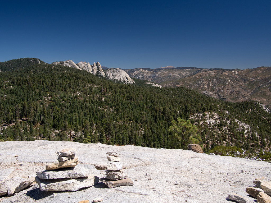
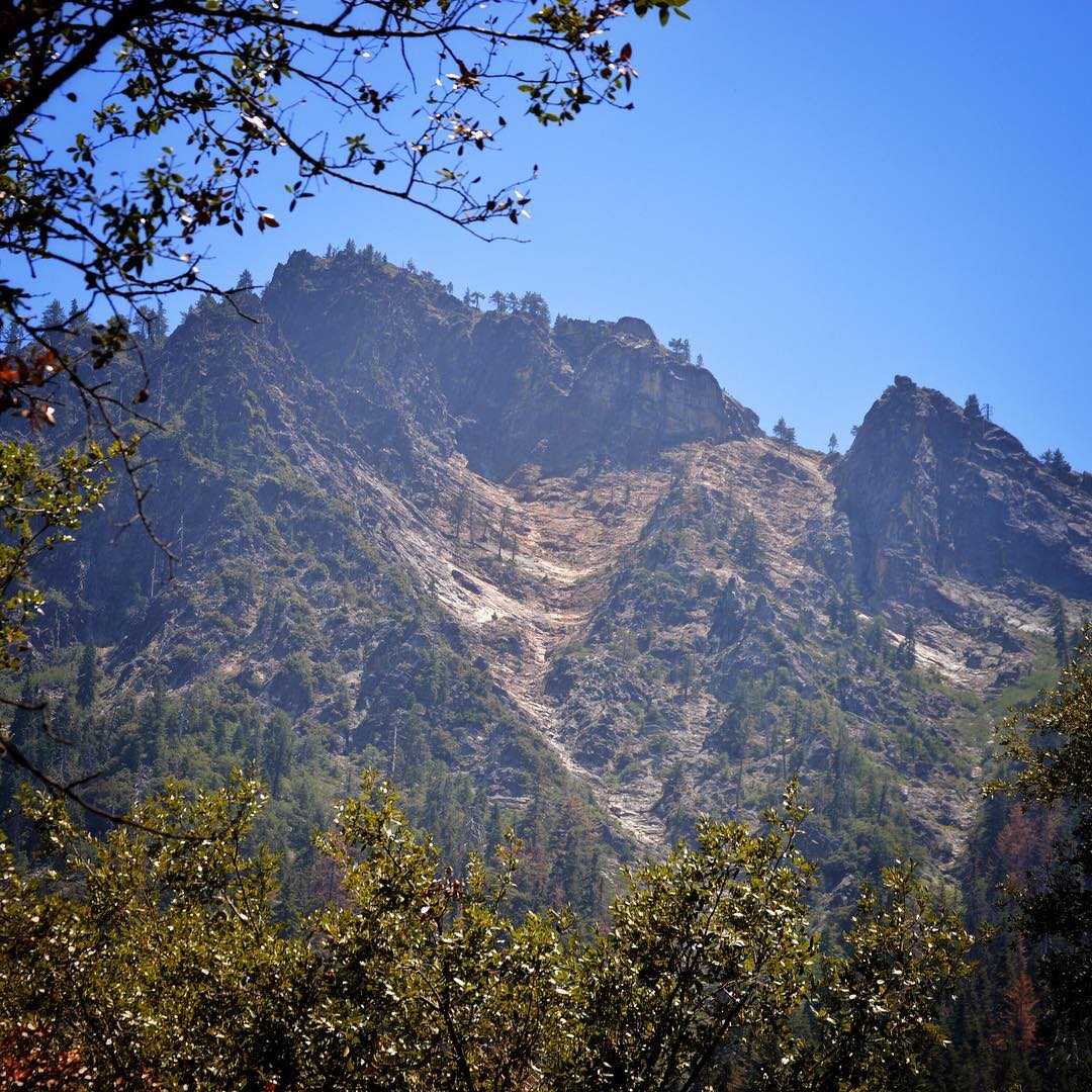
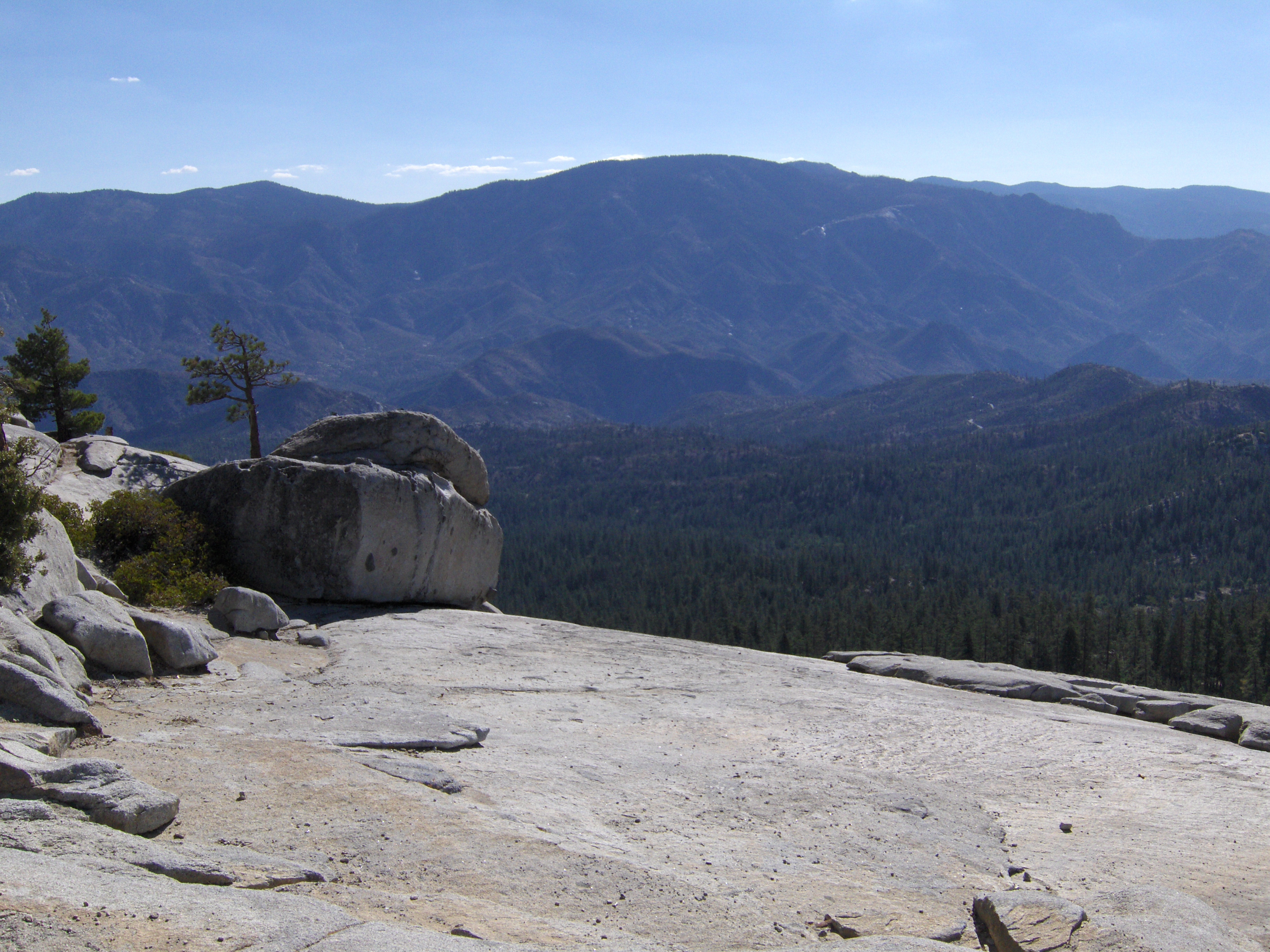
The Needles

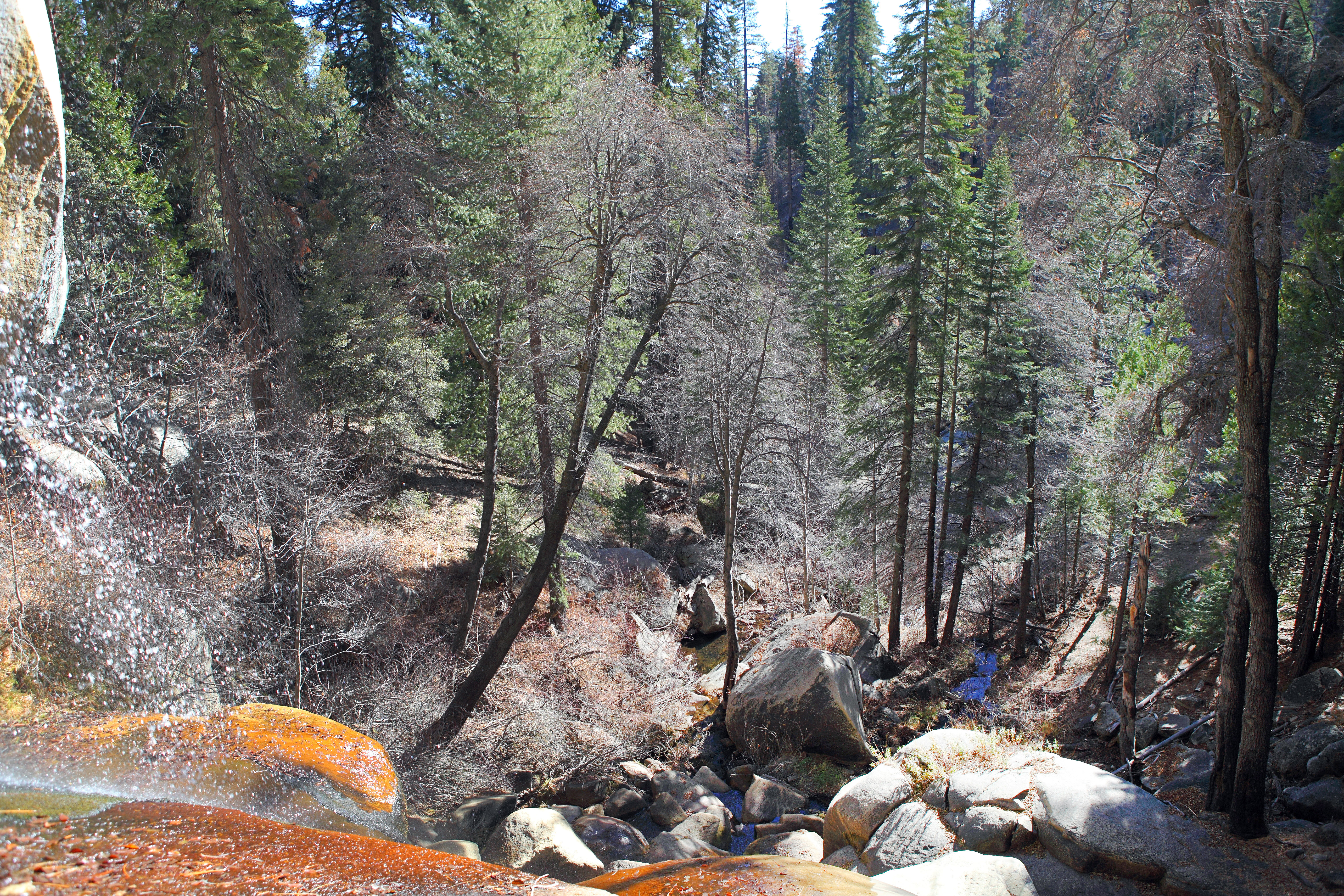
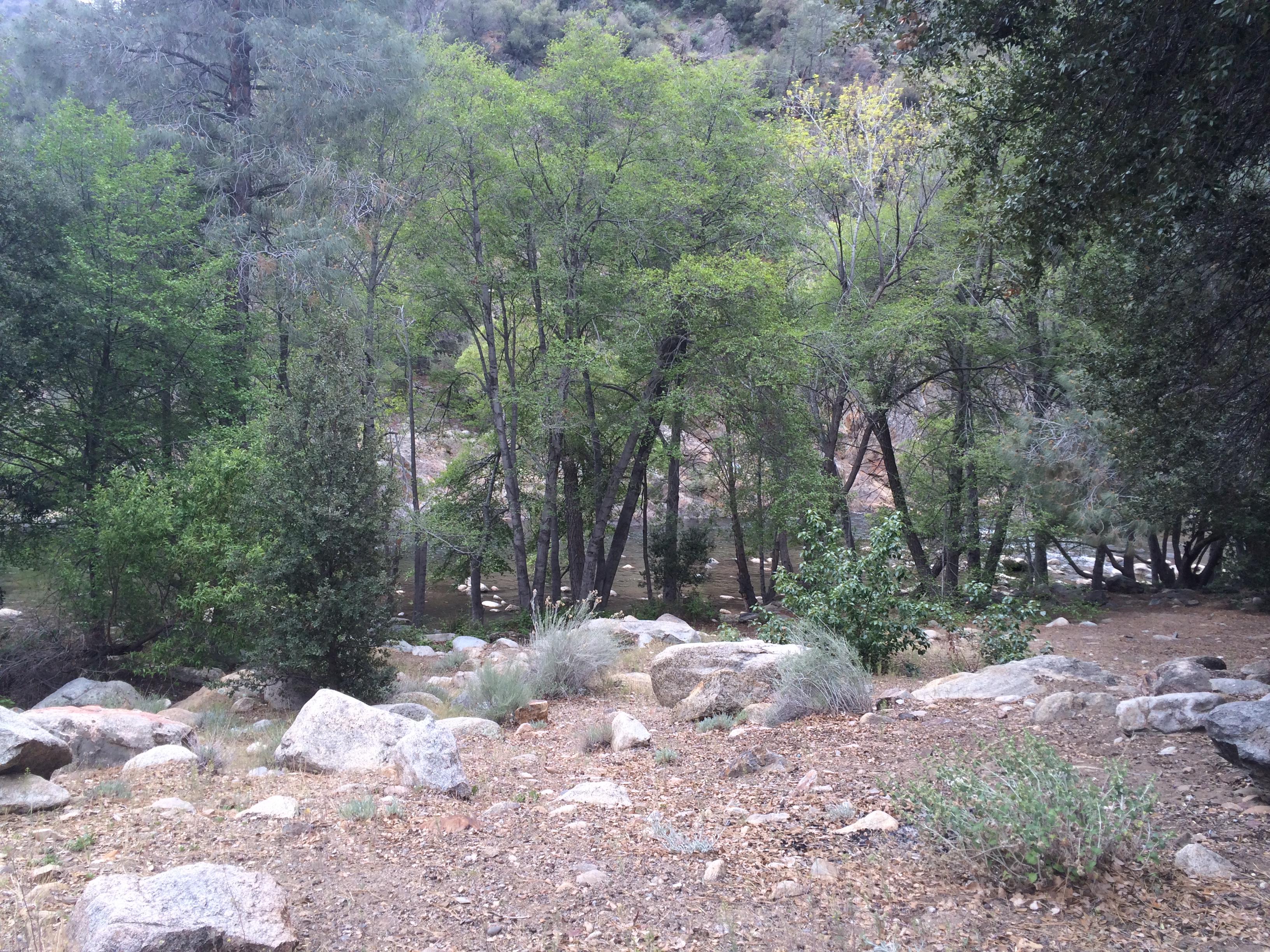
North Fork Kern River
No Fireworks necessary
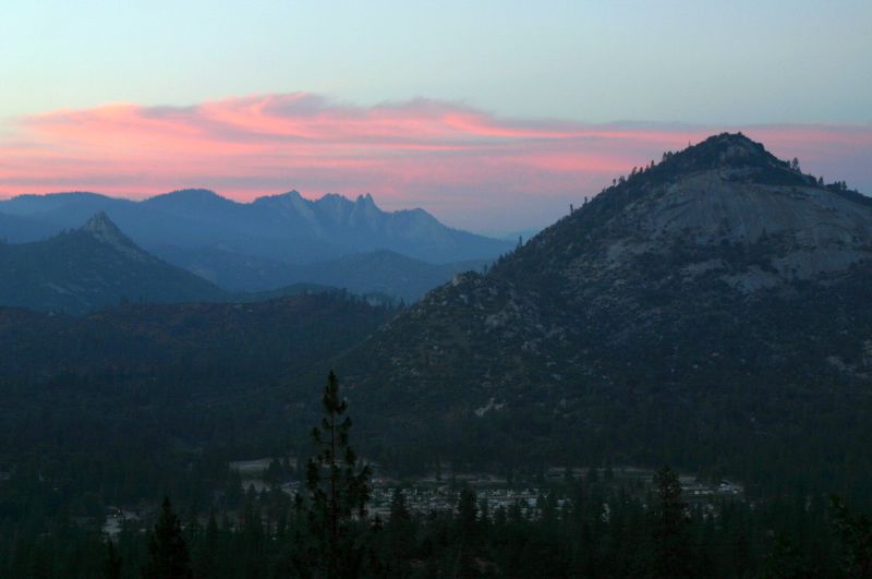
Southern Sierra Mountains
Mountain View
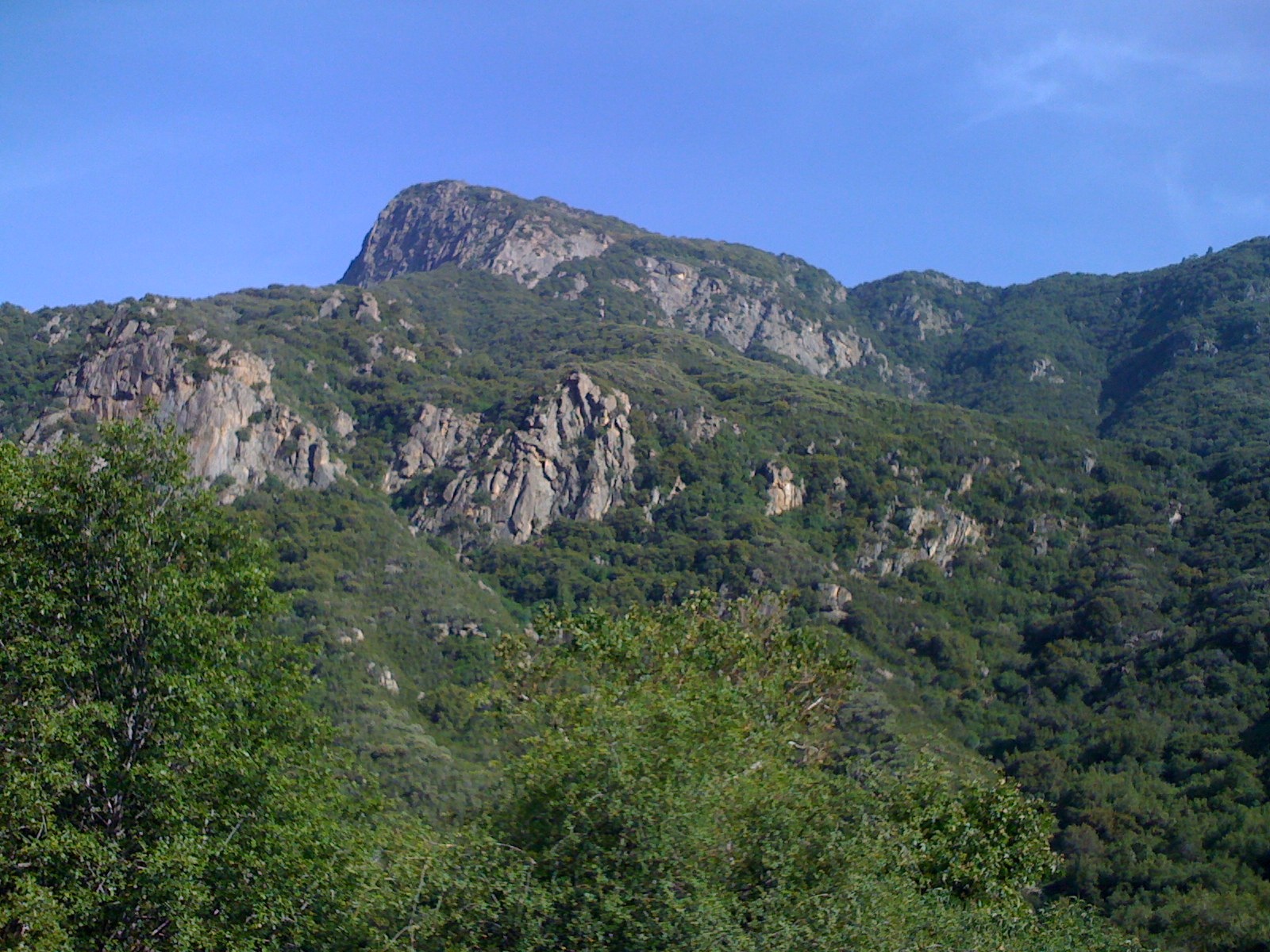
The Needles - II
View of Woods
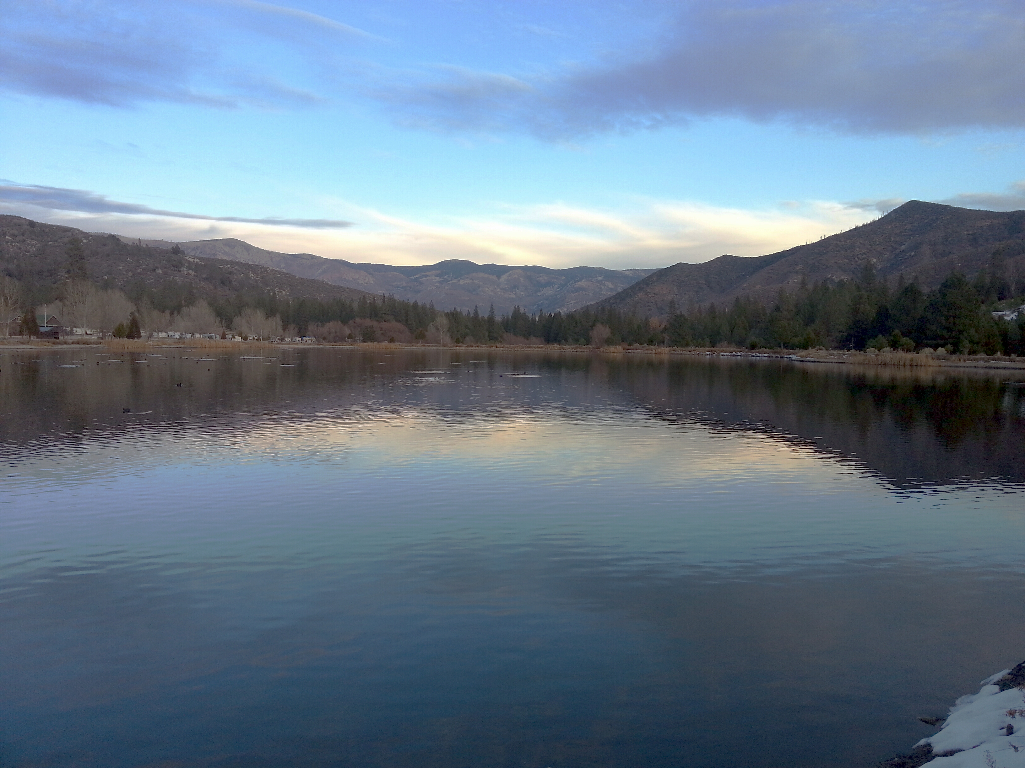
Lake View
A view from Solo Peak trail. #campnelson

kern river valley from dome rock
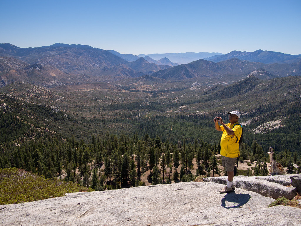
Great view

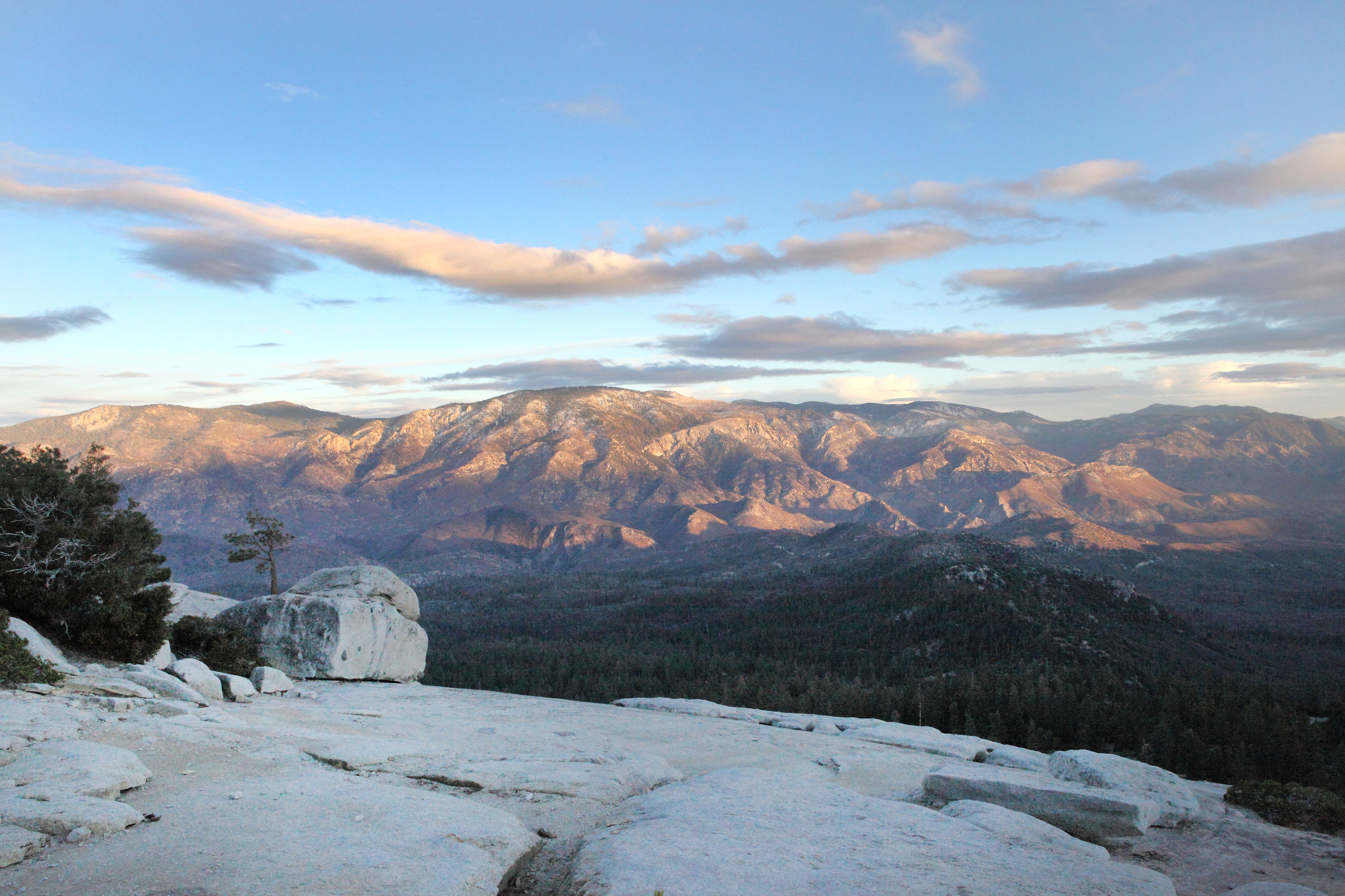
Day 4-View from Dome Rock III
Day 4- View from Dome Rock II
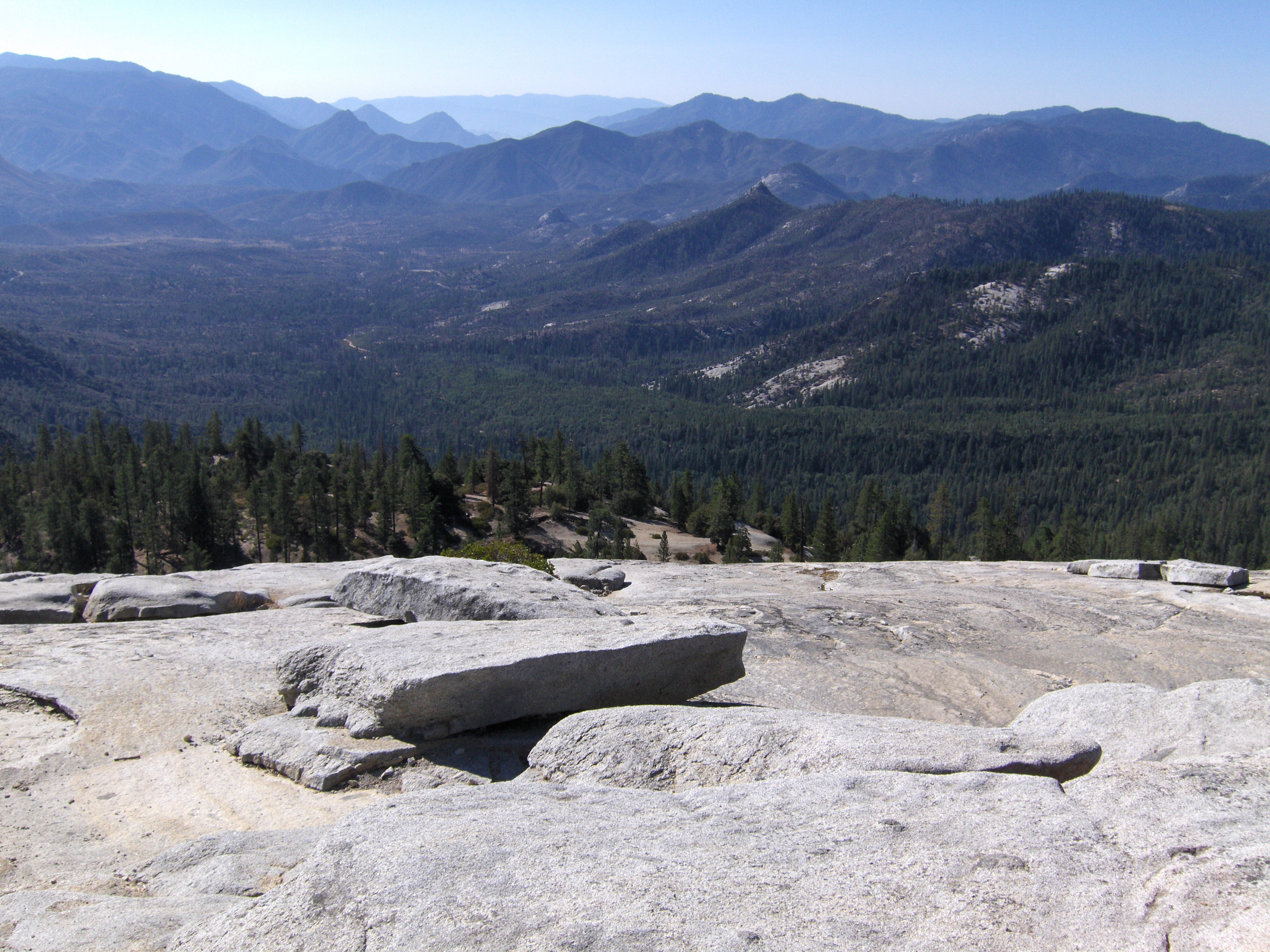
Day 4- View from Dome Rock I
2015-04-24 14.41.07
Topographic Map of Slate Mountain, California, USA
Find elevation by address:

Places near Slate Mountain, California, USA:
Quaker Meadow
56755 Aspen Dr
Fox Dr, Springville, CA, USA
57716 Fox Dr
Sequoia Dr, Springville, CA, USA
51840 Ca-190
Chase Ave, Springville, CA, USA
Camp Nelson
1380 Ca-190
25 Easy Ct
386 John Lewis Dr
54862 Ponderosa Dr
Coffee Camp Campground
Scicon
Balch Park Road
Balch Park Road
38349 Balch Park Rd
Springville
39202 Balch Park Rd
35246 Tule River Dr
Recent Searches:
- Elevation of Corso Fratelli Cairoli, 35, Macerata MC, Italy
- Elevation of Tallevast Rd, Sarasota, FL, USA
- Elevation of 4th St E, Sonoma, CA, USA
- Elevation of Black Hollow Rd, Pennsdale, PA, USA
- Elevation of Oakland Ave, Williamsport, PA, USA
- Elevation of Pedrógão Grande, Portugal
- Elevation of Klee Dr, Martinsburg, WV, USA
- Elevation of Via Roma, Pieranica CR, Italy
- Elevation of Tavkvetili Mountain, Georgia
- Elevation of Hartfords Bluff Cir, Mt Pleasant, SC, USA