Elevation of Bloomfield, PE C0B, Canada
Location: Canada > Prince Edward Island > Prince County > Lot 4 >
Longitude: -64.230159
Latitude: 46.774692
Elevation: 40m / 131feet
Barometric Pressure: 101KPa
Elevation Map:
Satellite Map:
Related Photos:
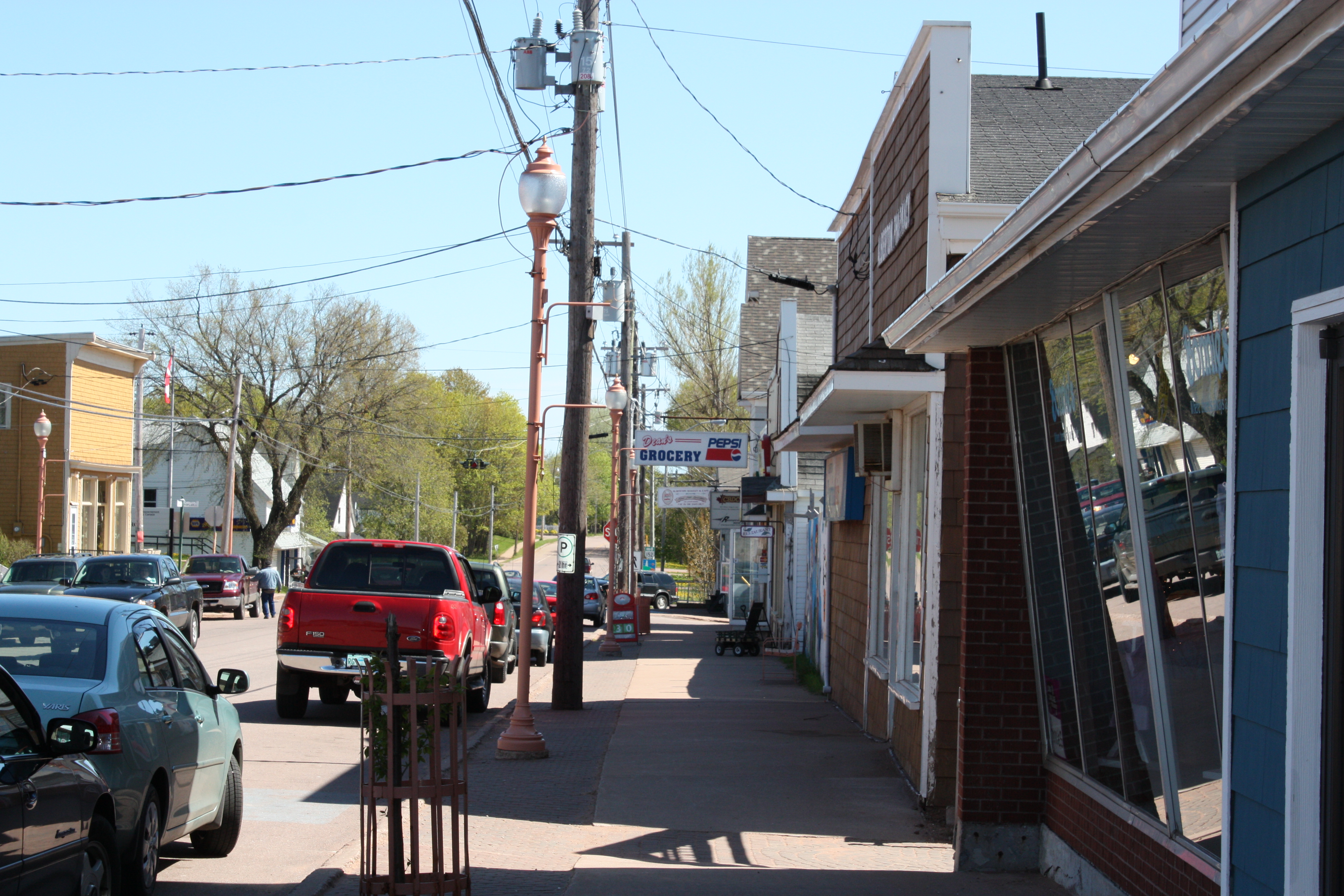
Alberton, PEI

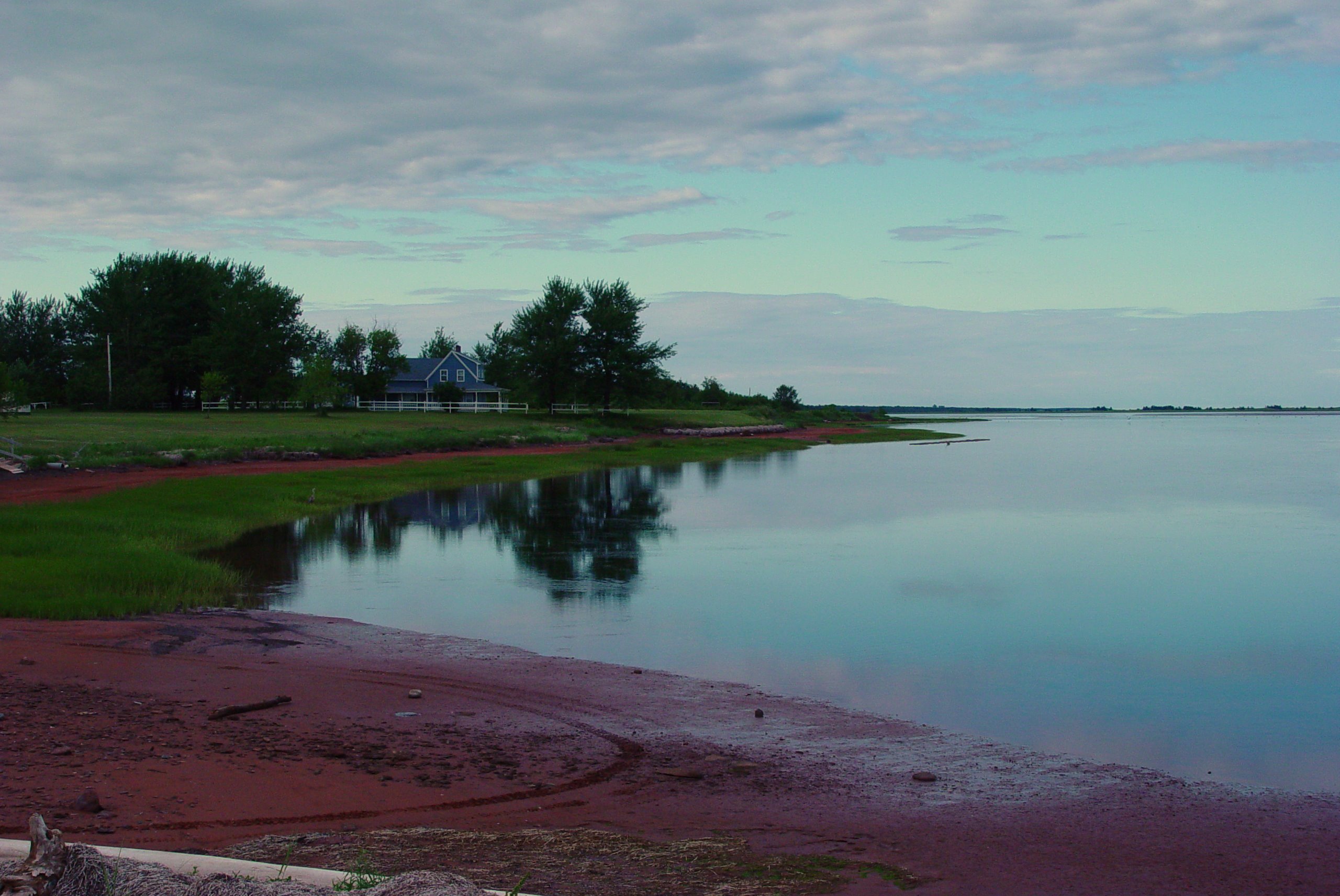
Dec 31 2012 front deck view #pei
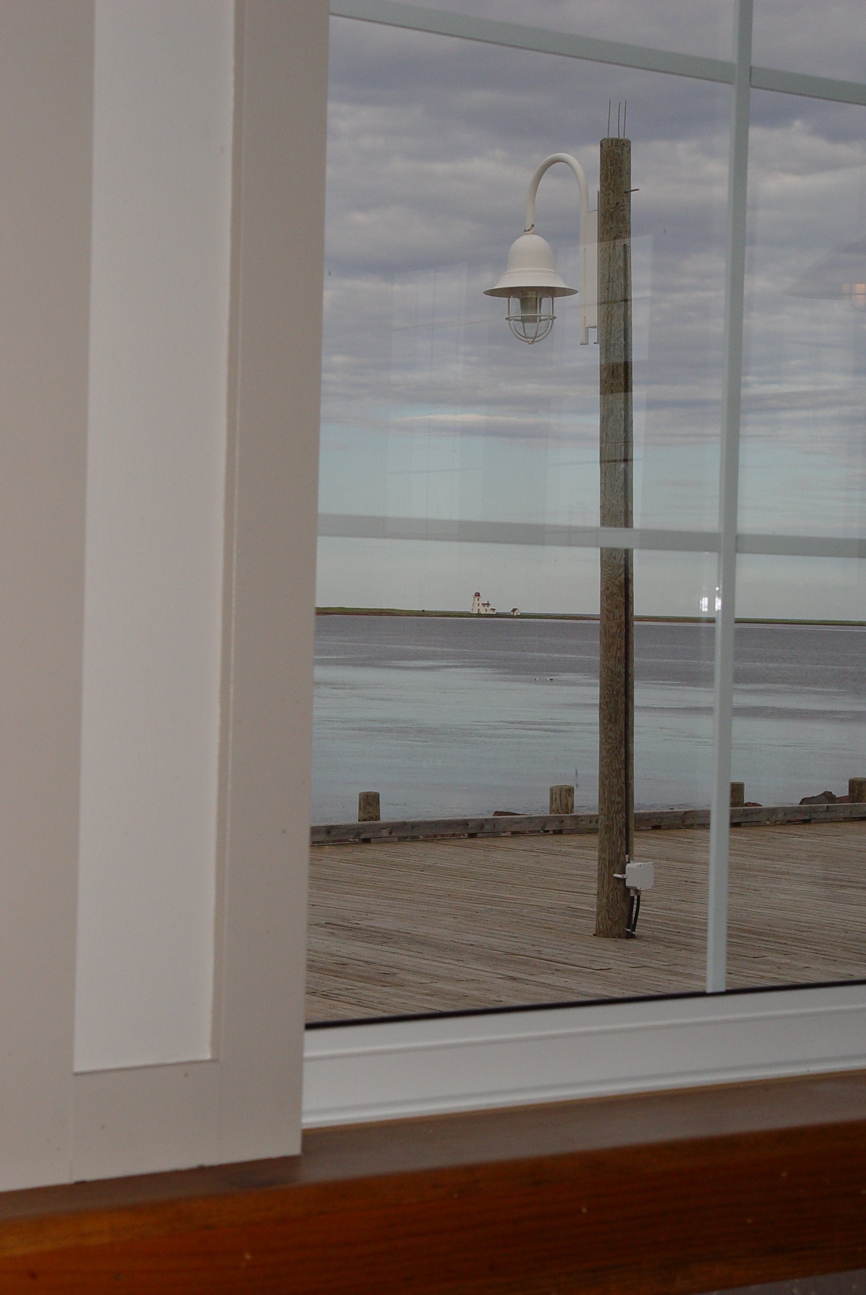
48 Restaurant View
51 Northport View

Cross Country Trail 4
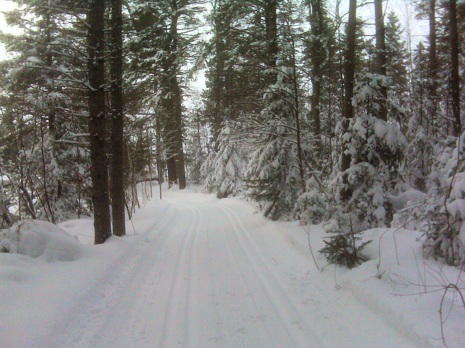
Cross Country Trail 3
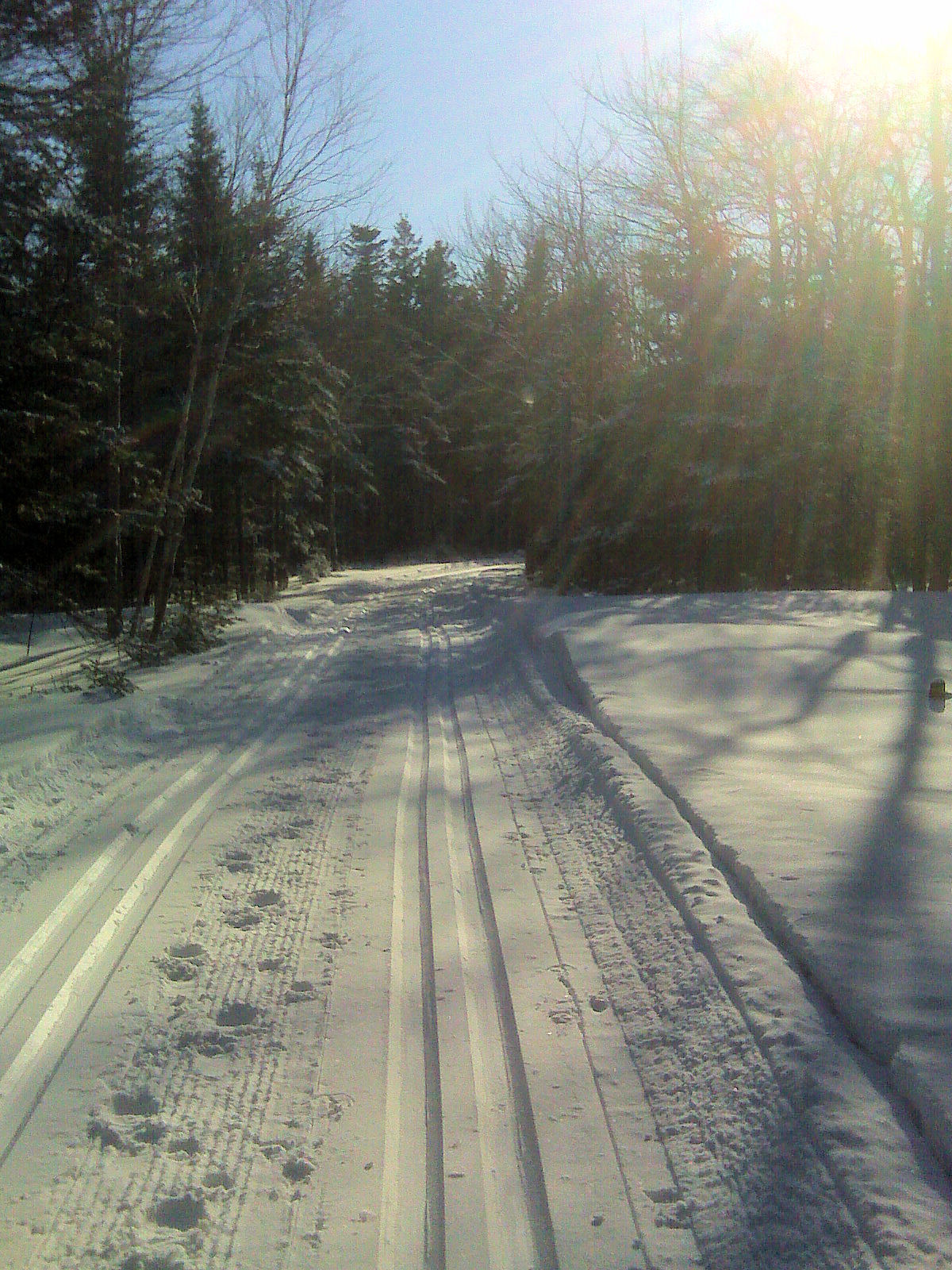
Cross Country Trail 1

Bridge Sunset BW 2 January 26.11
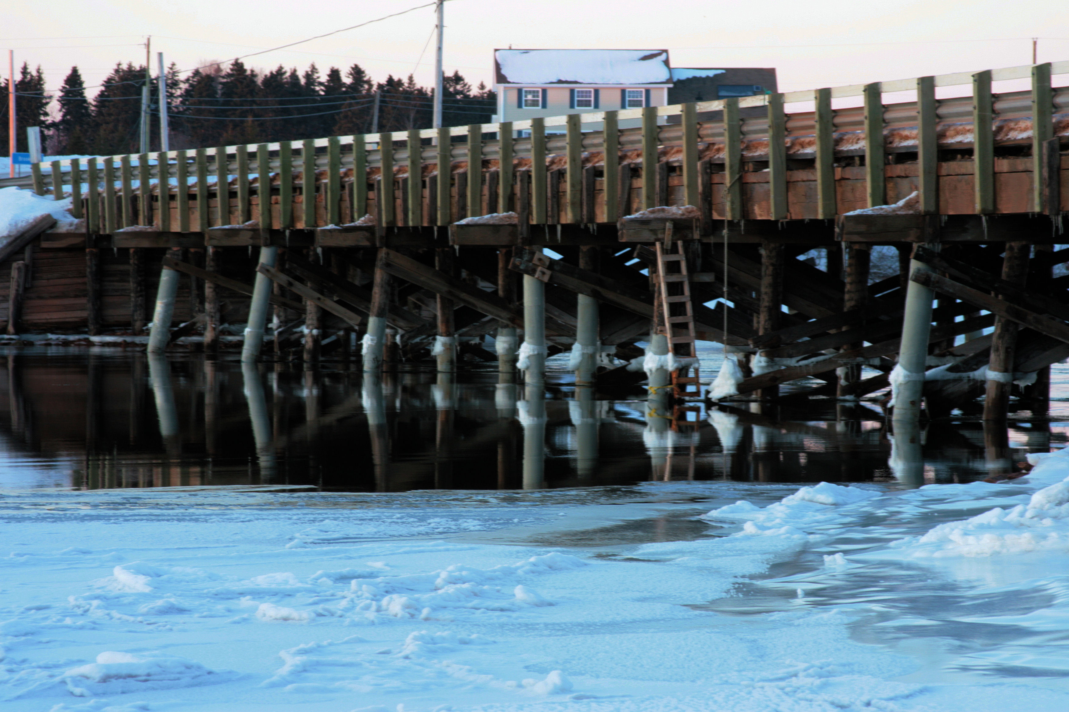
Bridge Sunset A January 26.11
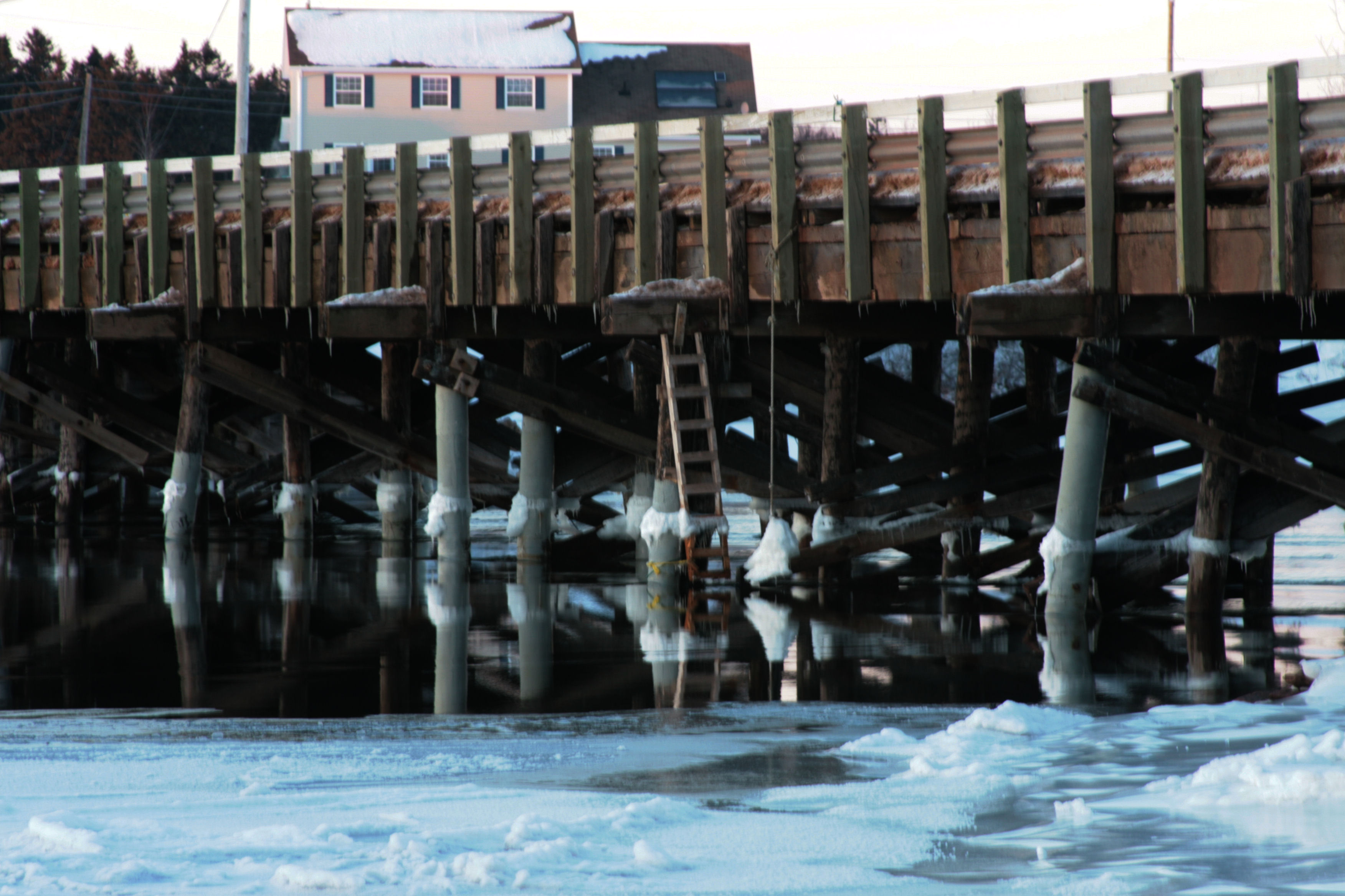
Bridge Sunset B January 26.11
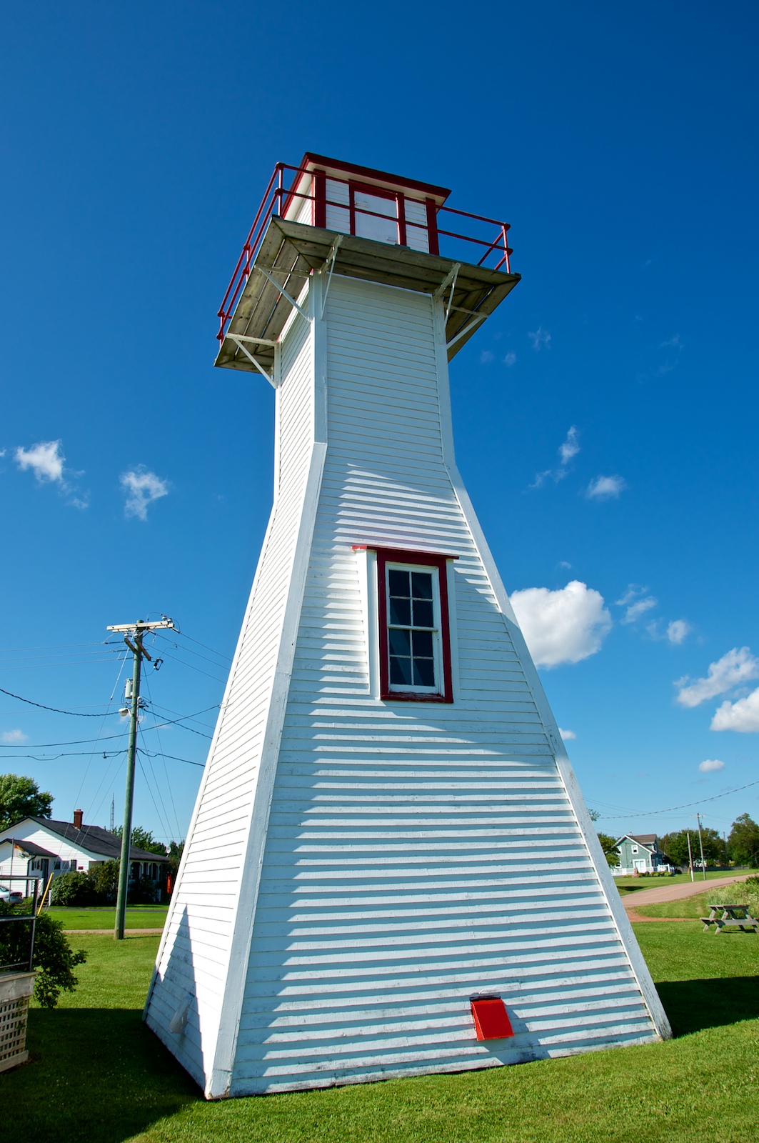
Northport Range Light, PEI (front view)

Cross Country Trail 2

Northport Range Light, PEI (harbour view)
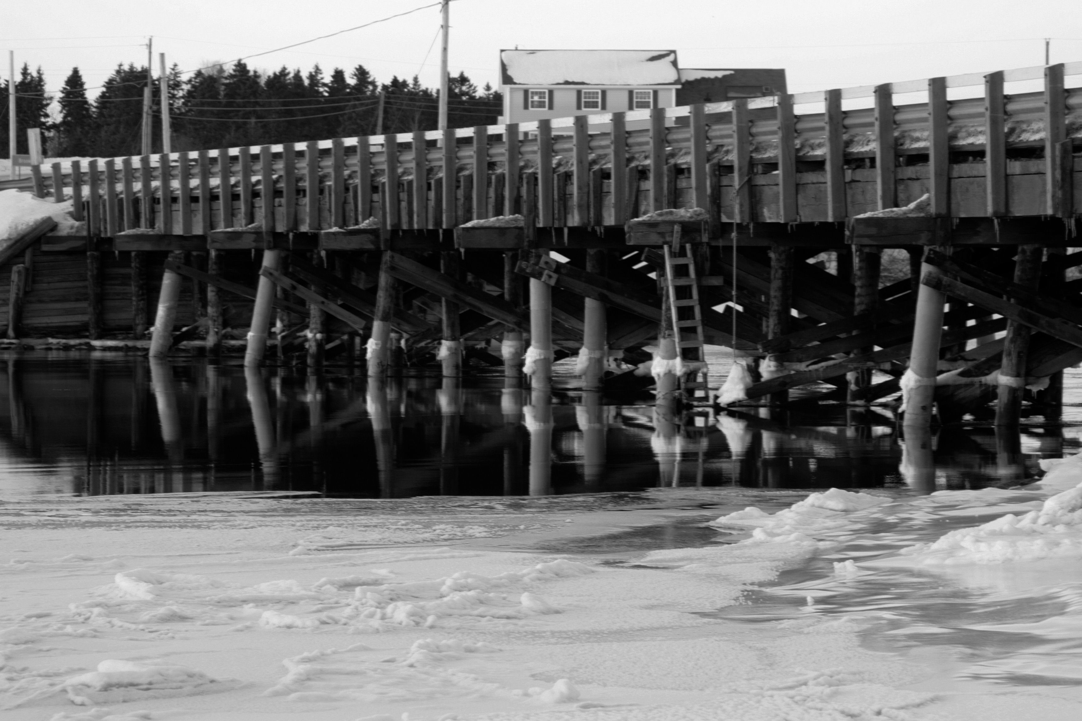
Bridge Sunset BW 1 January 26.11

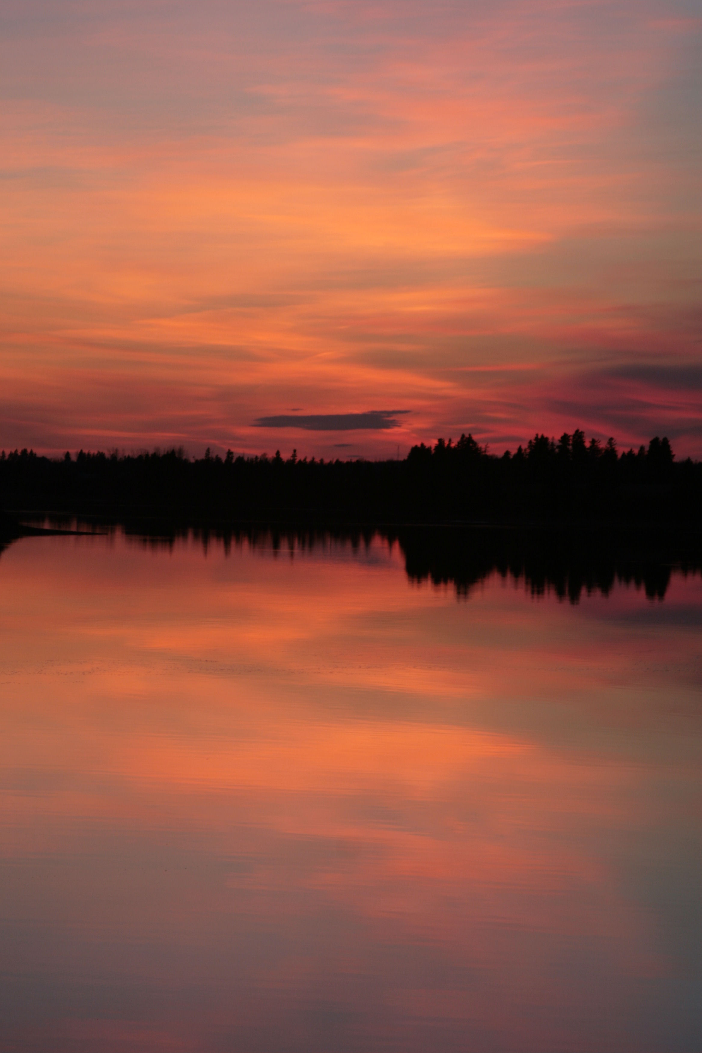
Herons at #Sunset, Miminegash-Roseville watershed #Tignish area, #PEI

CANADA MONTREAL QUEBEC OLD TOWN QUEBEC CITY QUEBEC 8164 3 AJ20

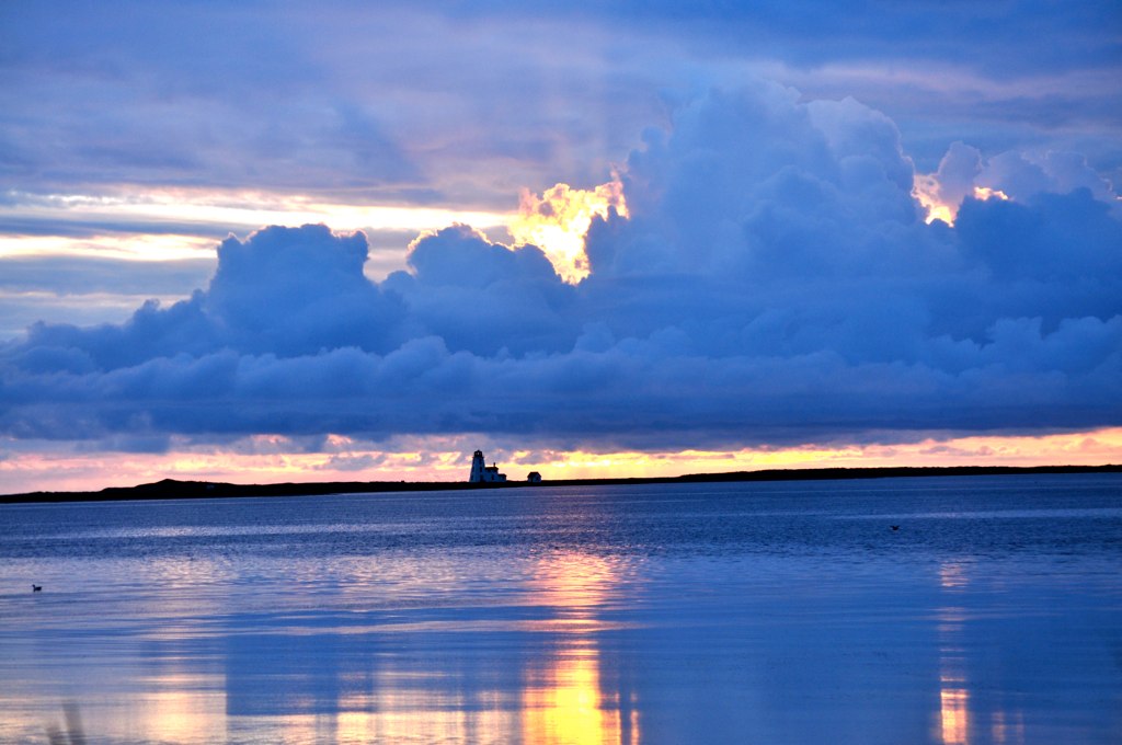
Miminegash Harbour
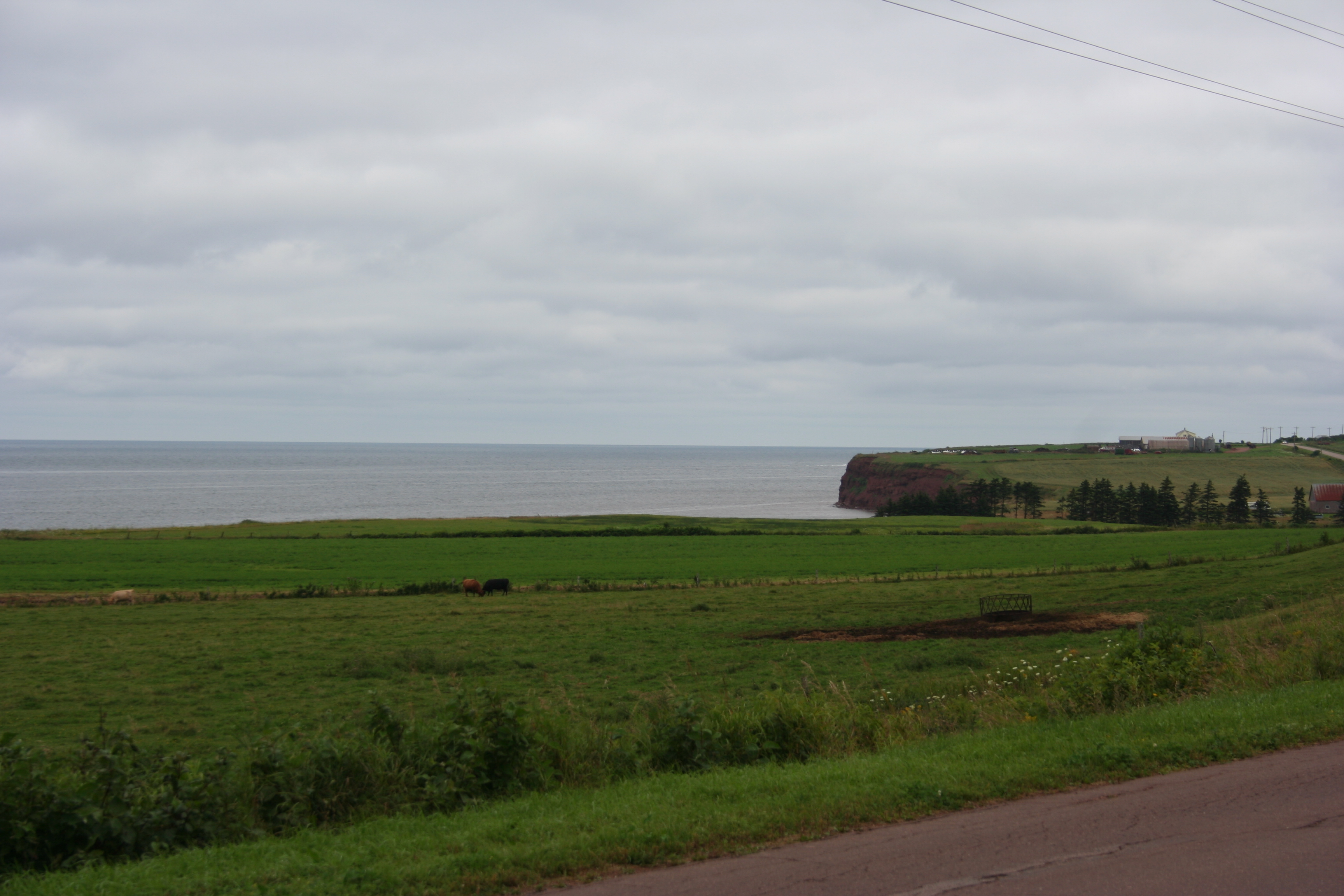
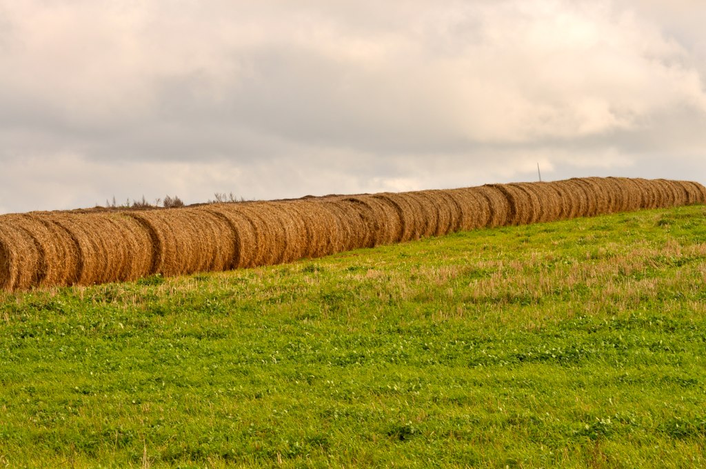
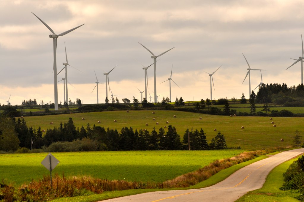
Fields along Highway 11
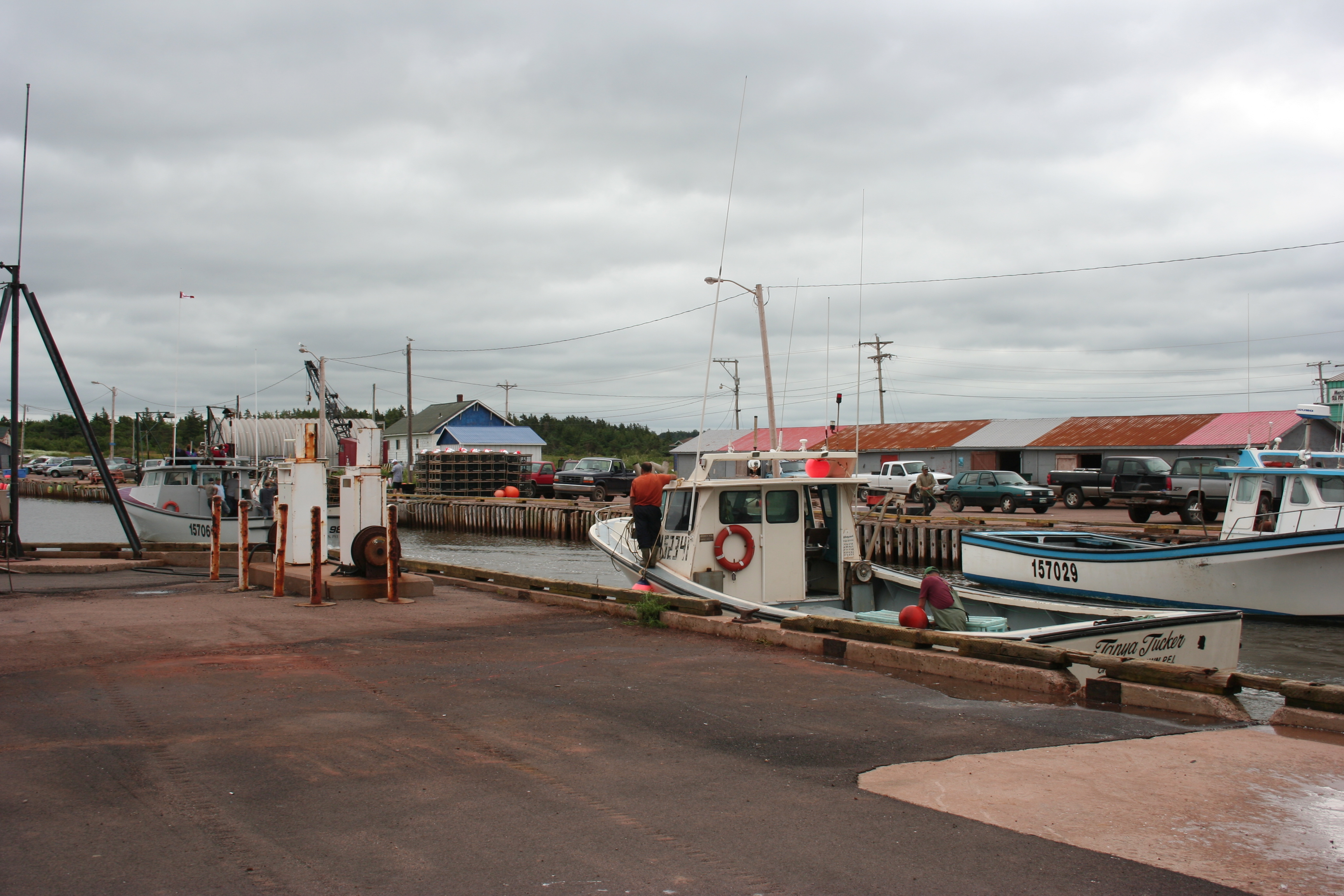
Returning to the Harbour
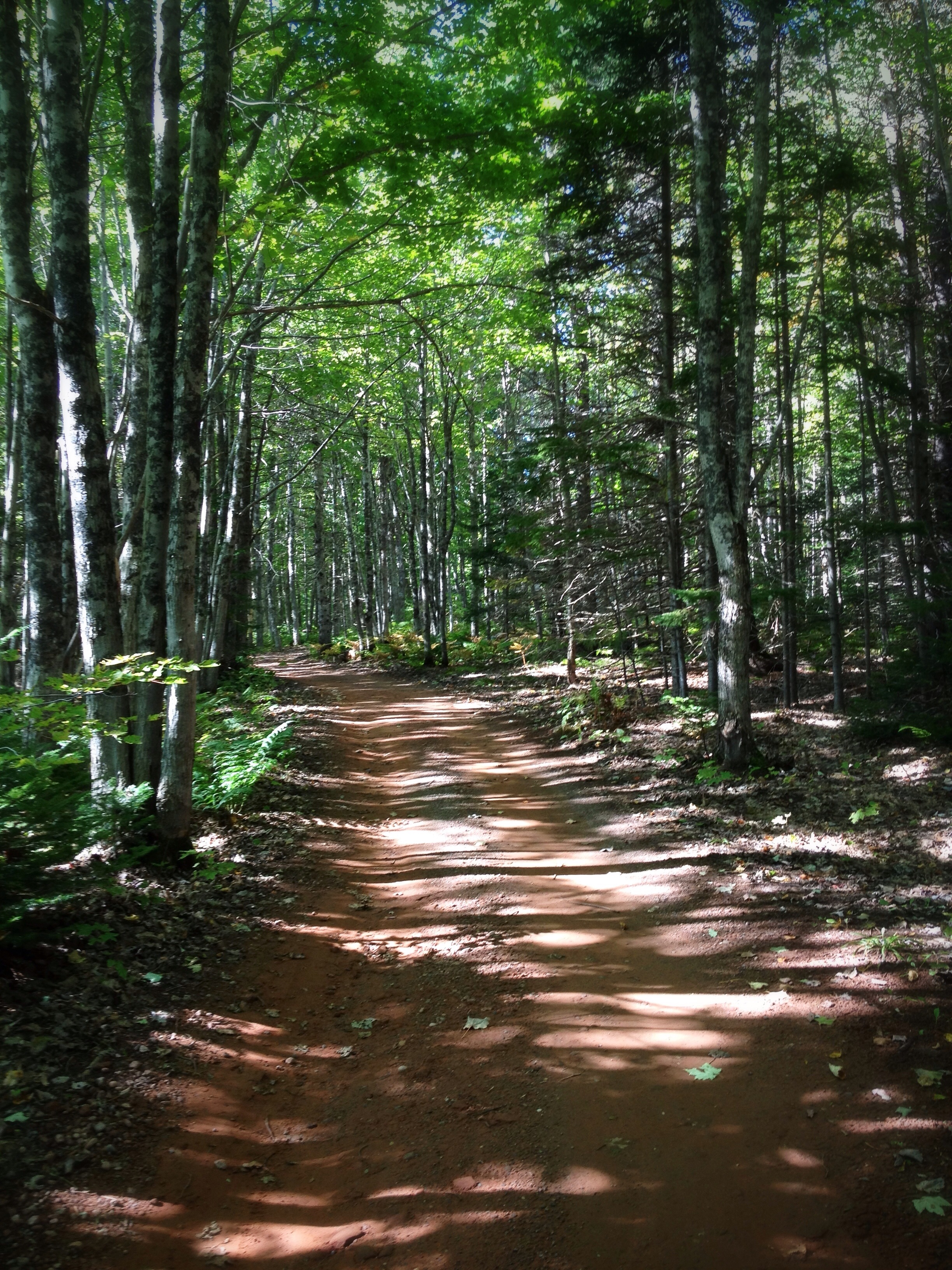
The Shortcut: Beautiful path through the woods at the #MillRiver #Golf Course, #PEI

23 Miminegash Shore
Cape Wolfe Area PEI - 7
Northport PEI - 33
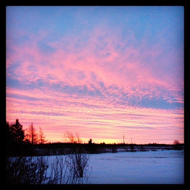
Red Sky at Morning, #PEI #sunrise
Cape Wolfe Area PEI - 6
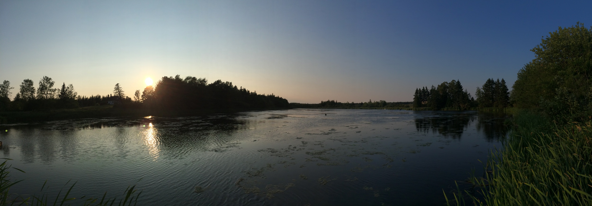
Panorama's from PEI

Miminegash, PEI
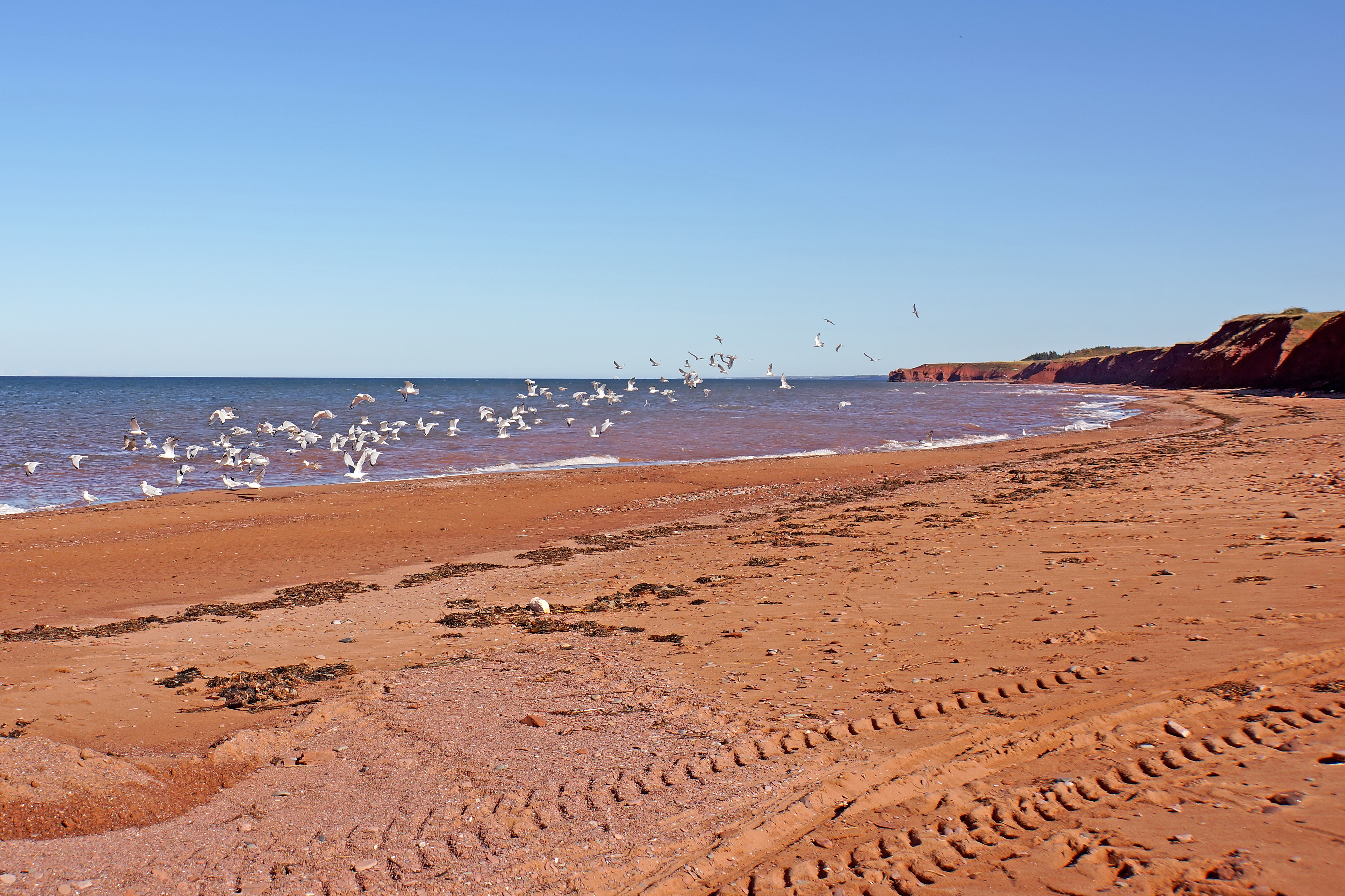
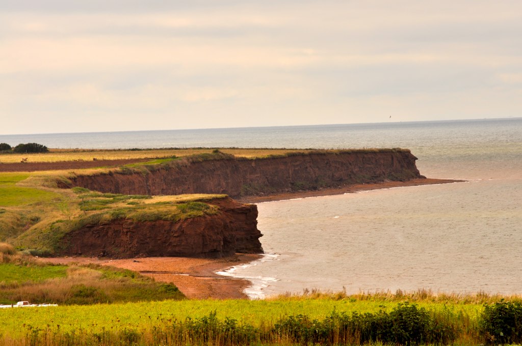
PEI-00614 - Western Coast

Untouched Nov 13.10
Untouched Vertical nov 13.10

Still abandoned
Cape Wolfe Area PEI - 5
Topographic Map of Bloomfield, PE C0B, Canada
Find elevation by address:

Places near Bloomfield, PE C0B, Canada:
Ohalloran Rd, Bloomfield, PE C0B 1E0, Canada
737 Duvar Rd
Bloomfield Corner
Lot 5
O'leary
2351 O'leary Rd
O'Leary Rd, O'Leary, PE C0B 1V0, Canada
Western Rd, Alberton, PE C0B 1B0, Canada
Lot 4
O'leary Road
Lot 6
Western Rd, Alberton, PE C0B 1B0, Canada
11 Haliburton Rd, Bloomfield, PE C0B 1E0, Canada
Coleman
1952 Boulter Rd
Lot 7
1910 Pe-14
Lot 3
Lot 3
Beaton Rd, Coleman, PE C0B 1H0, Canada
Recent Searches:
- Elevation of Tenjo, Cundinamarca, Colombia
- Elevation of Côte-des-Neiges, Montreal, QC H4A 3J6, Canada
- Elevation of Bobcat Dr, Helena, MT, USA
- Elevation of Zu den Ihlowbergen, Althüttendorf, Germany
- Elevation of Badaber, Peshawar, Khyber Pakhtunkhwa, Pakistan
- Elevation of SE Heron Loop, Lincoln City, OR, USA
- Elevation of Slanický ostrov, 01 Námestovo, Slovakia
- Elevation of Spaceport America, Co Rd A, Truth or Consequences, NM, USA
- Elevation of Warwick, RI, USA
- Elevation of Fern Rd, Whitmore, CA, USA