Elevation of O'Leary, PE C0B, Canada
Location: Canada > Prince Edward Island > Prince County >
Longitude: -64.226943
Latitude: 46.7070567
Elevation: 33m / 108feet
Barometric Pressure: 101KPa
Elevation Map:
Satellite Map:
Related Photos:
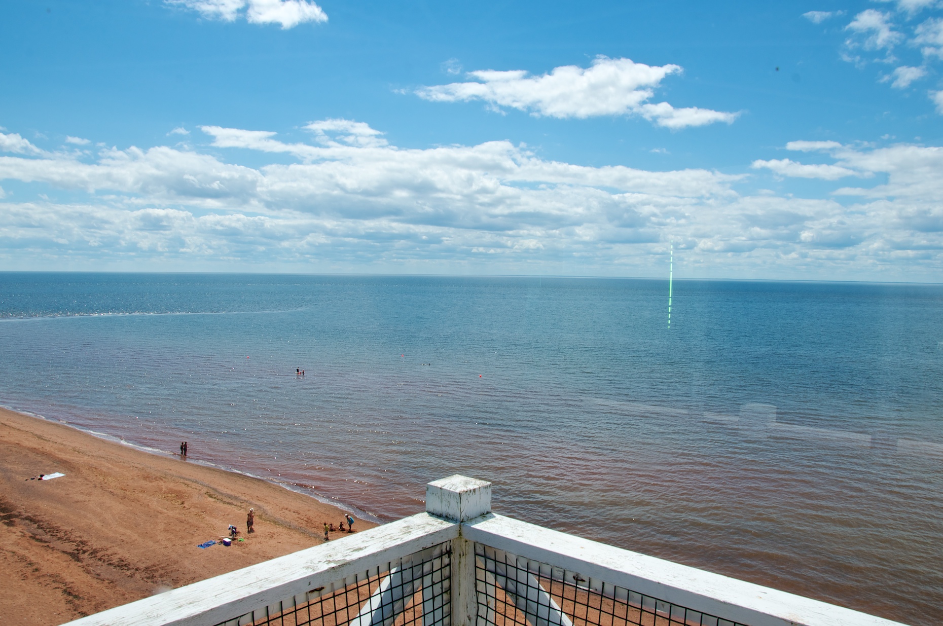
View From West Cape, PEI
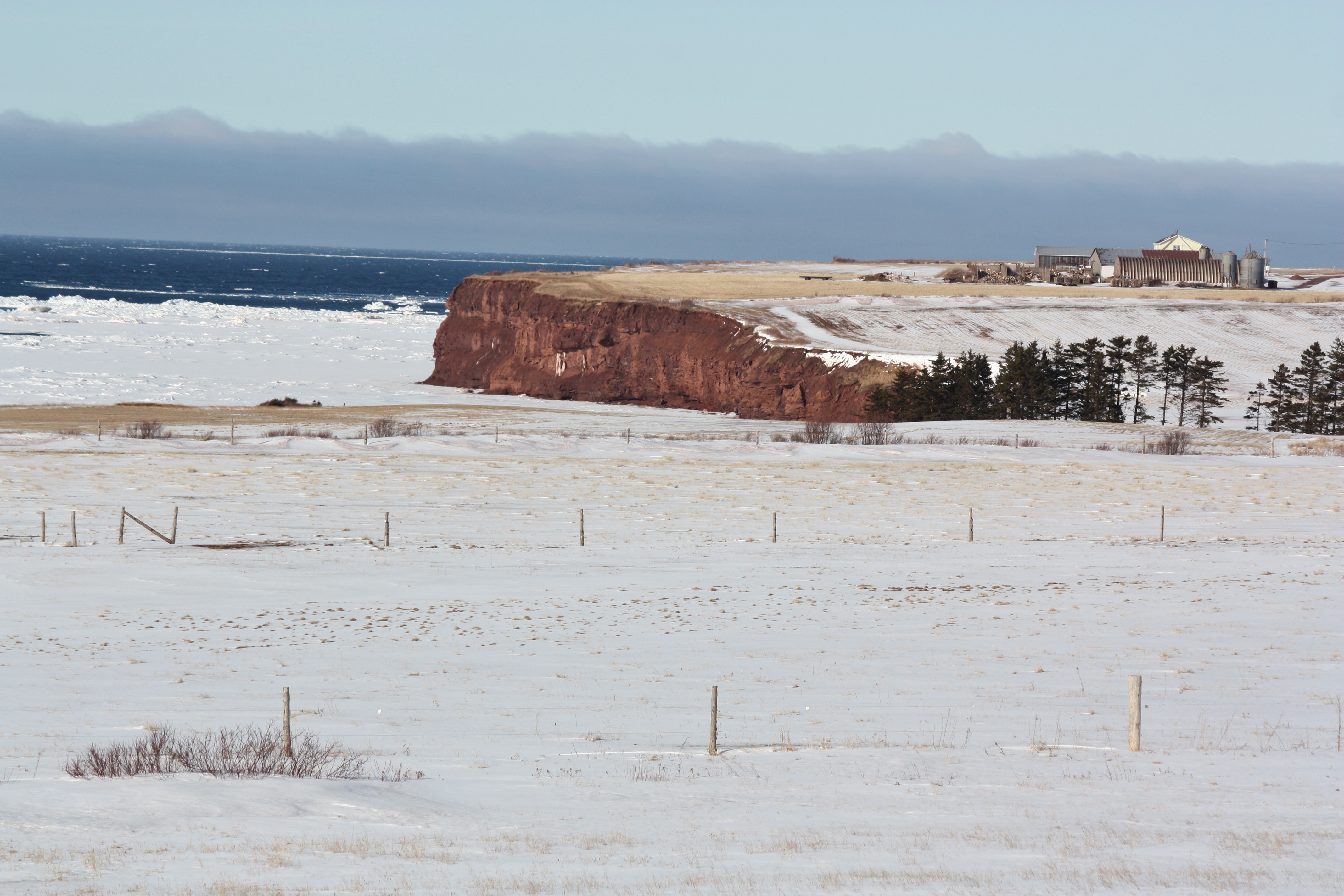
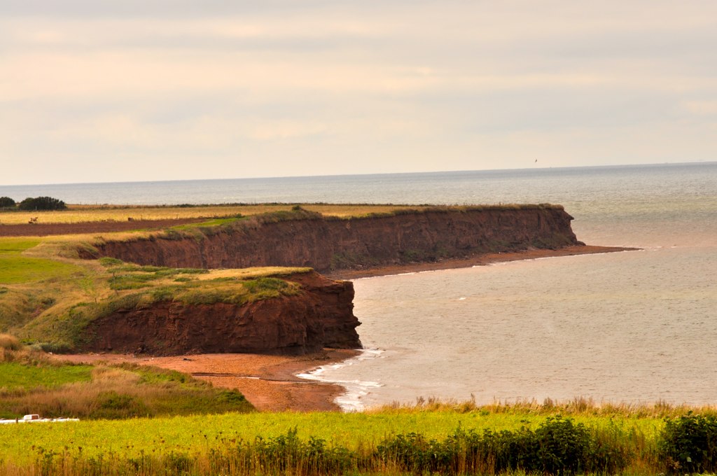
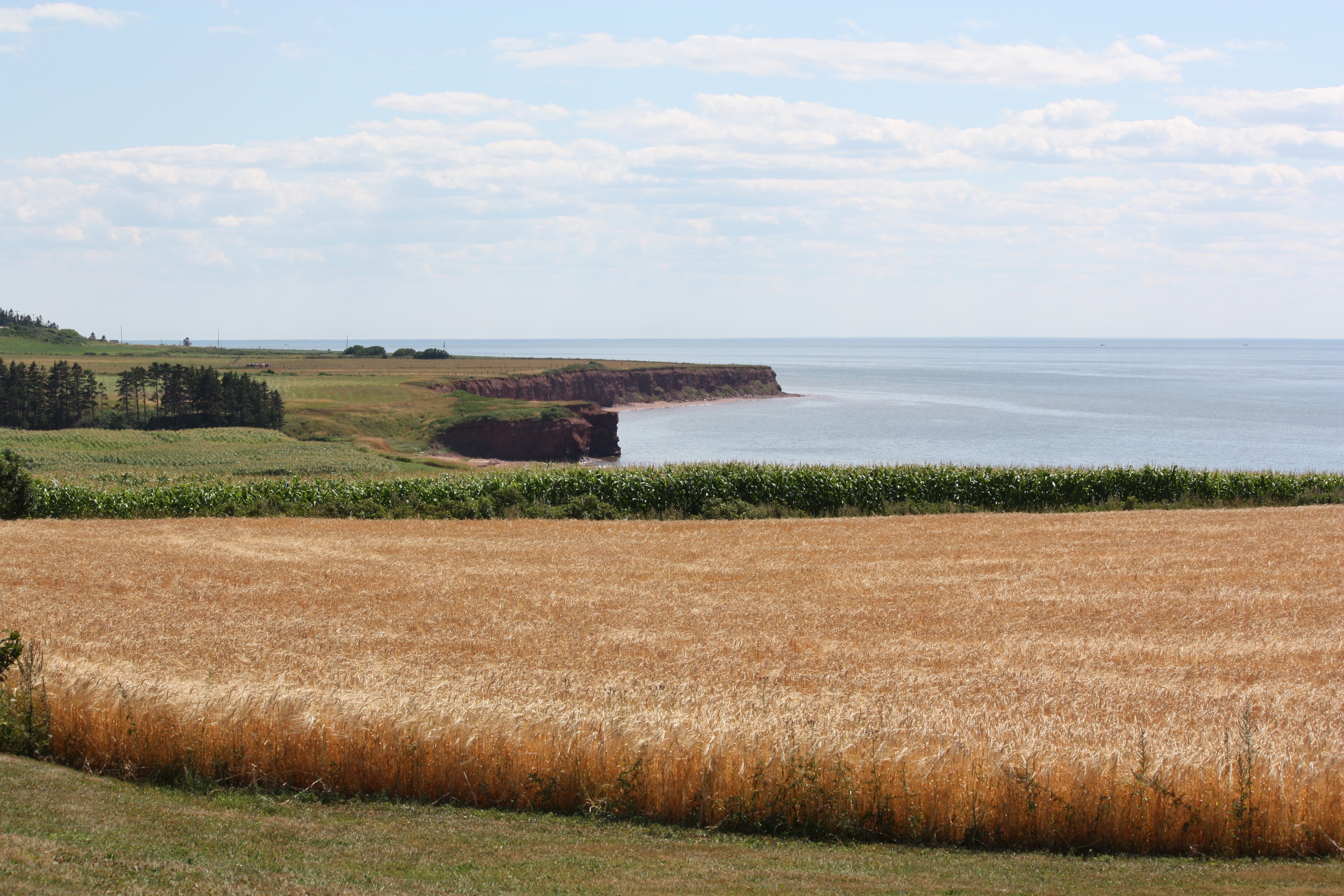
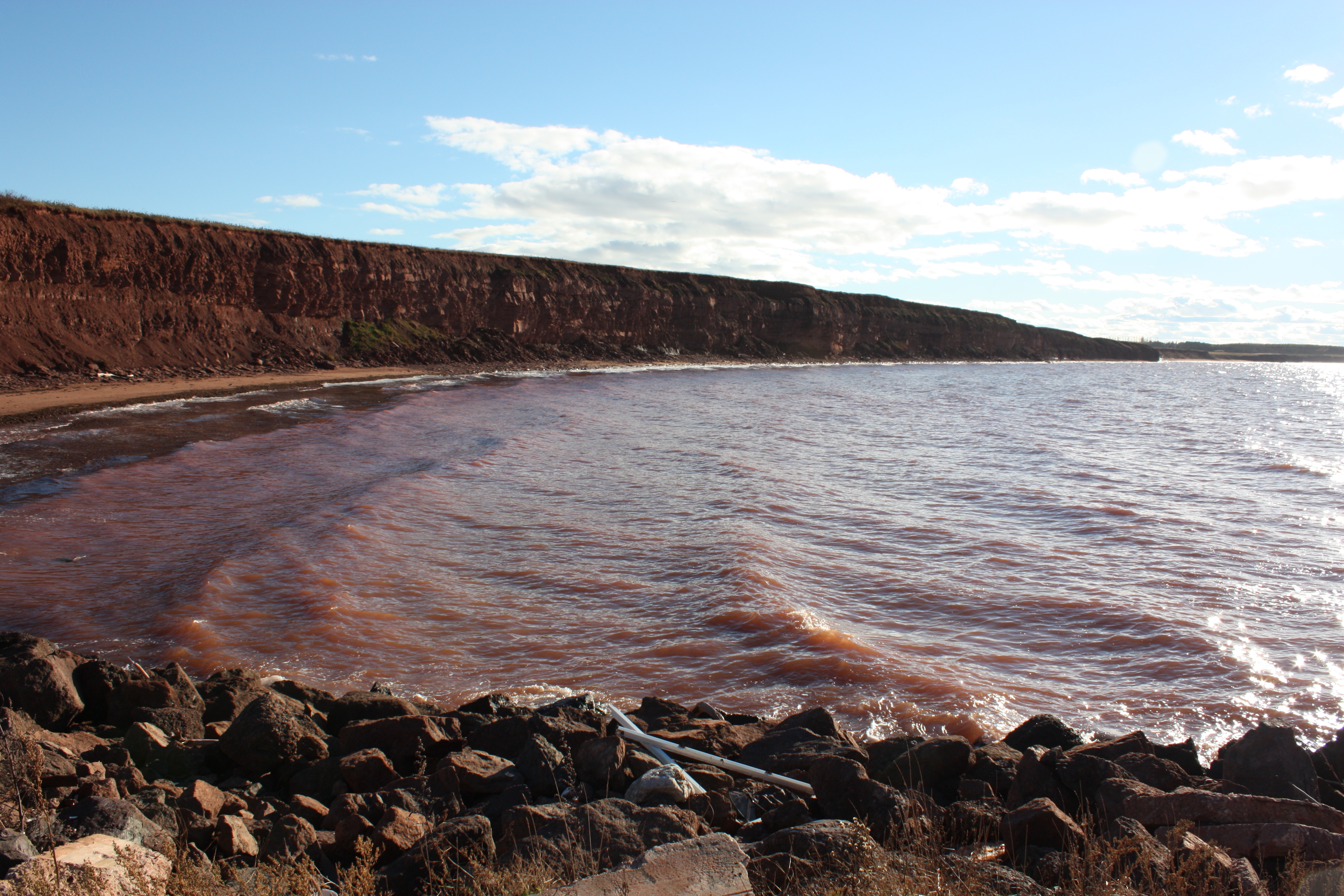
Cliff at West Cape, PEI

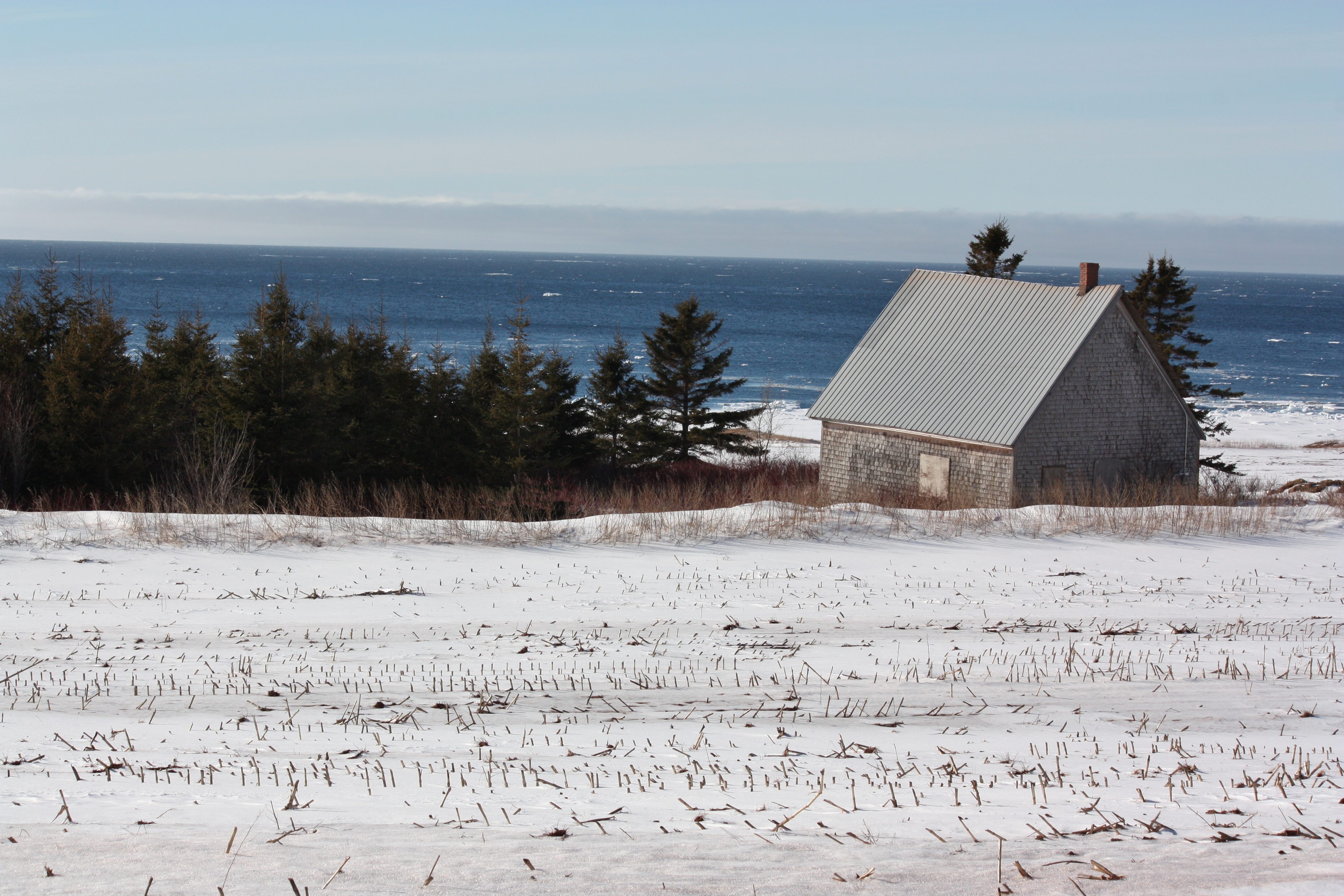
Dec 31 2012 front deck view #pei
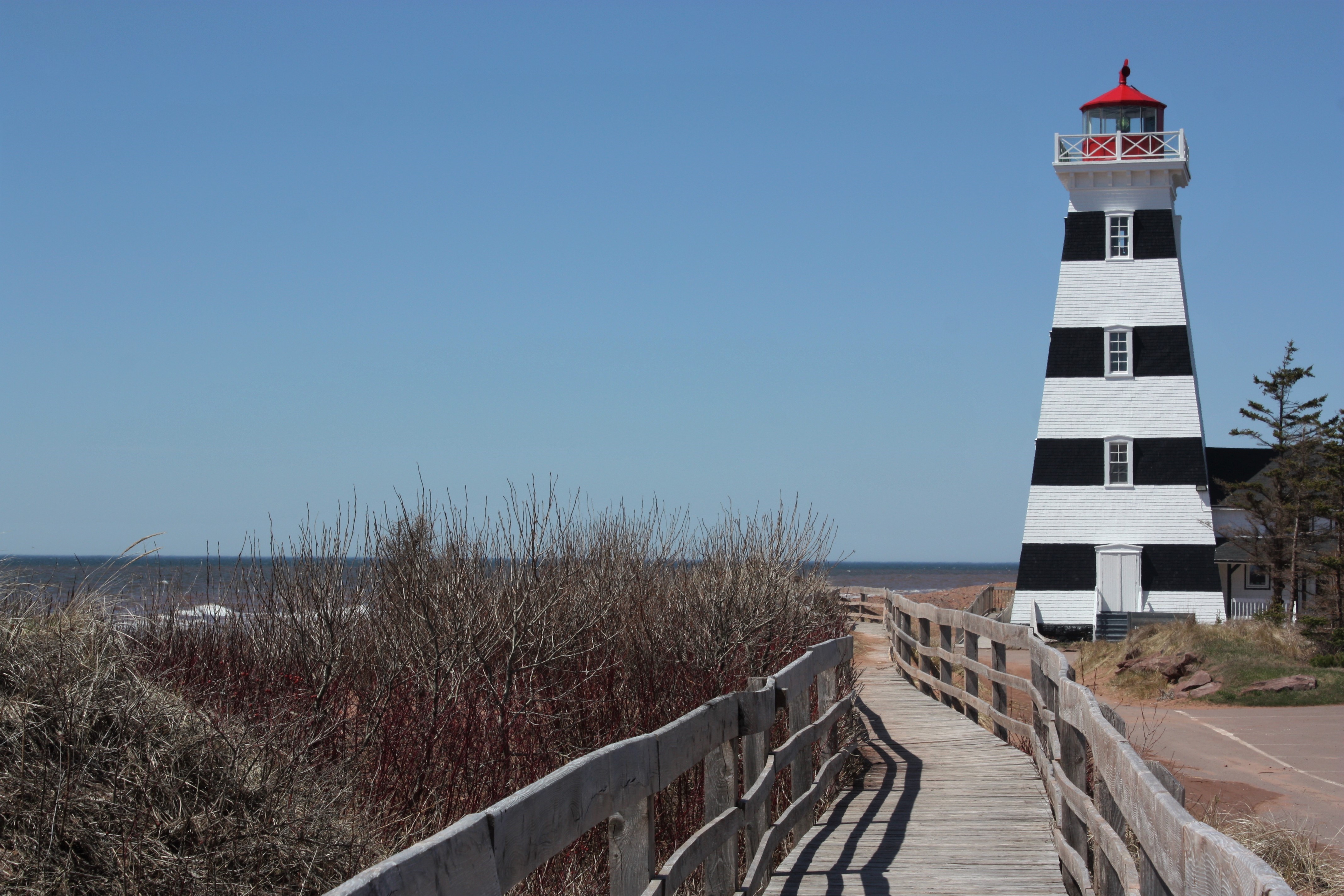
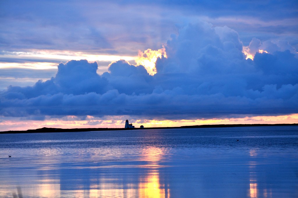
West Point Lighthouse- West Point, PEI
West Point Lighthouse- West Point, PEI

West Point Lighthouse- West Point, PEI

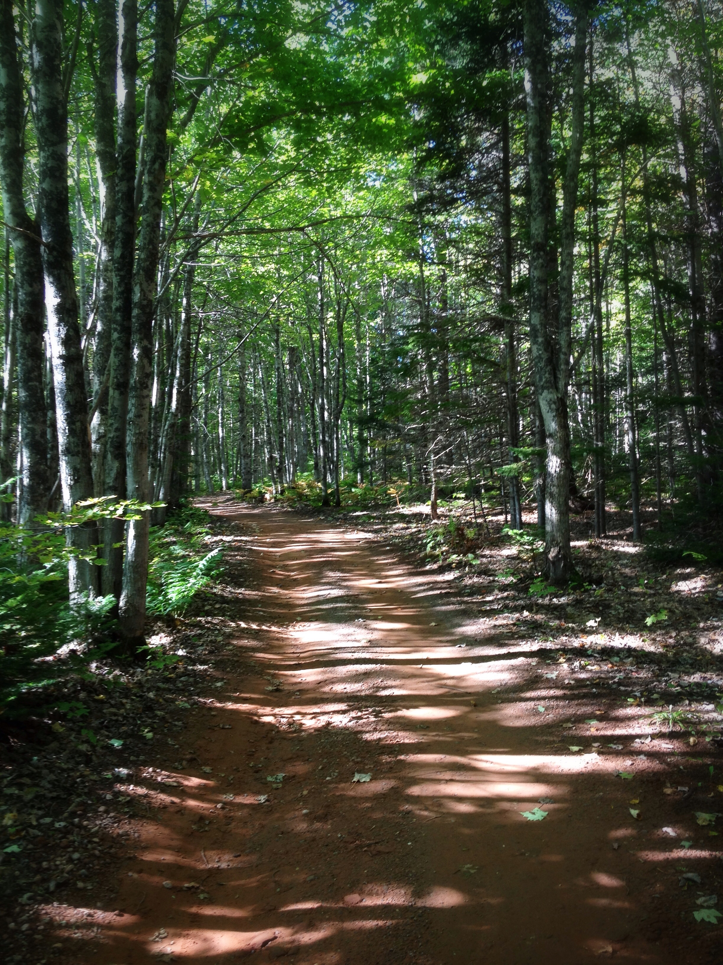
Cross Country Trail 4
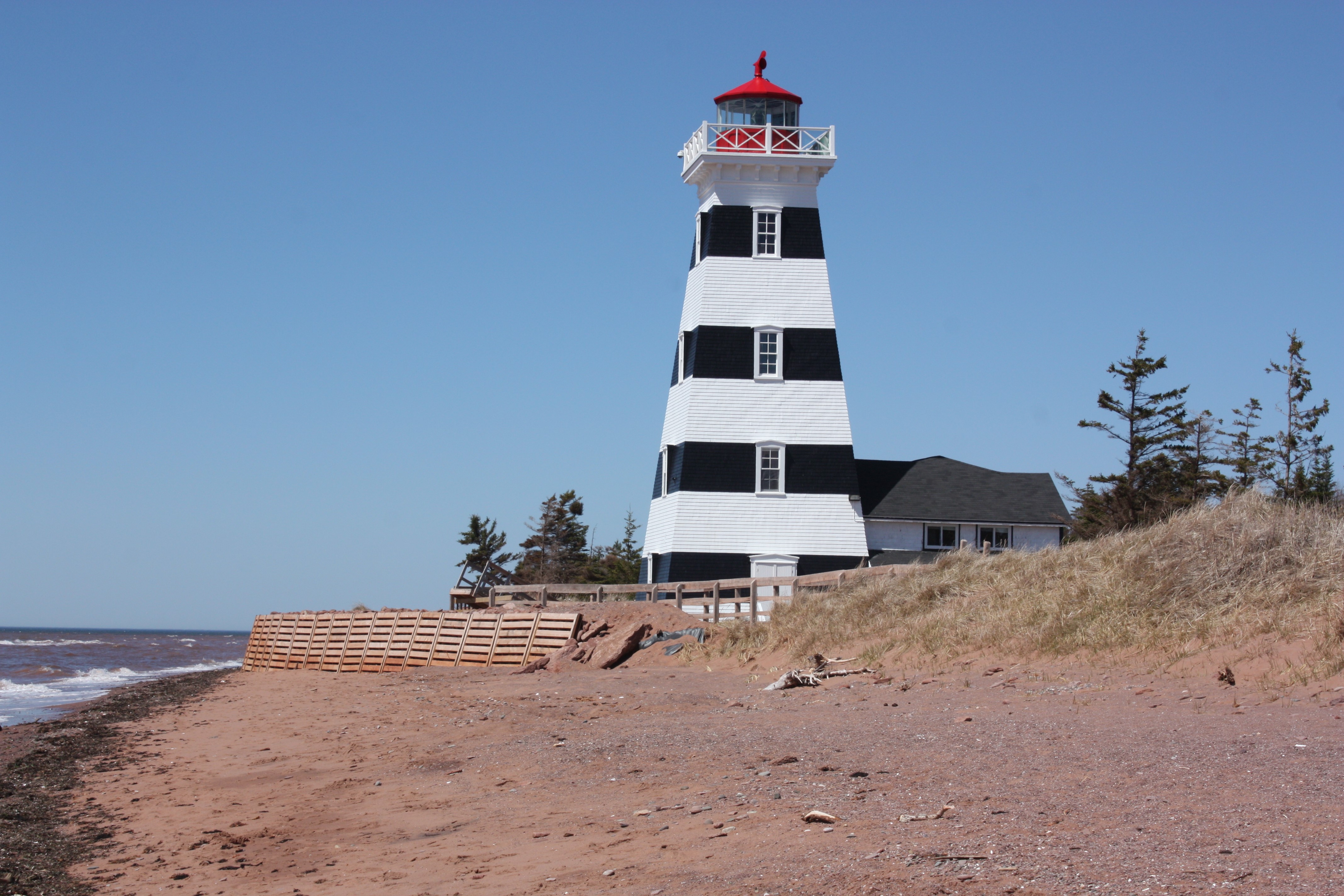
West Point Lighthouse- West Point, PEI
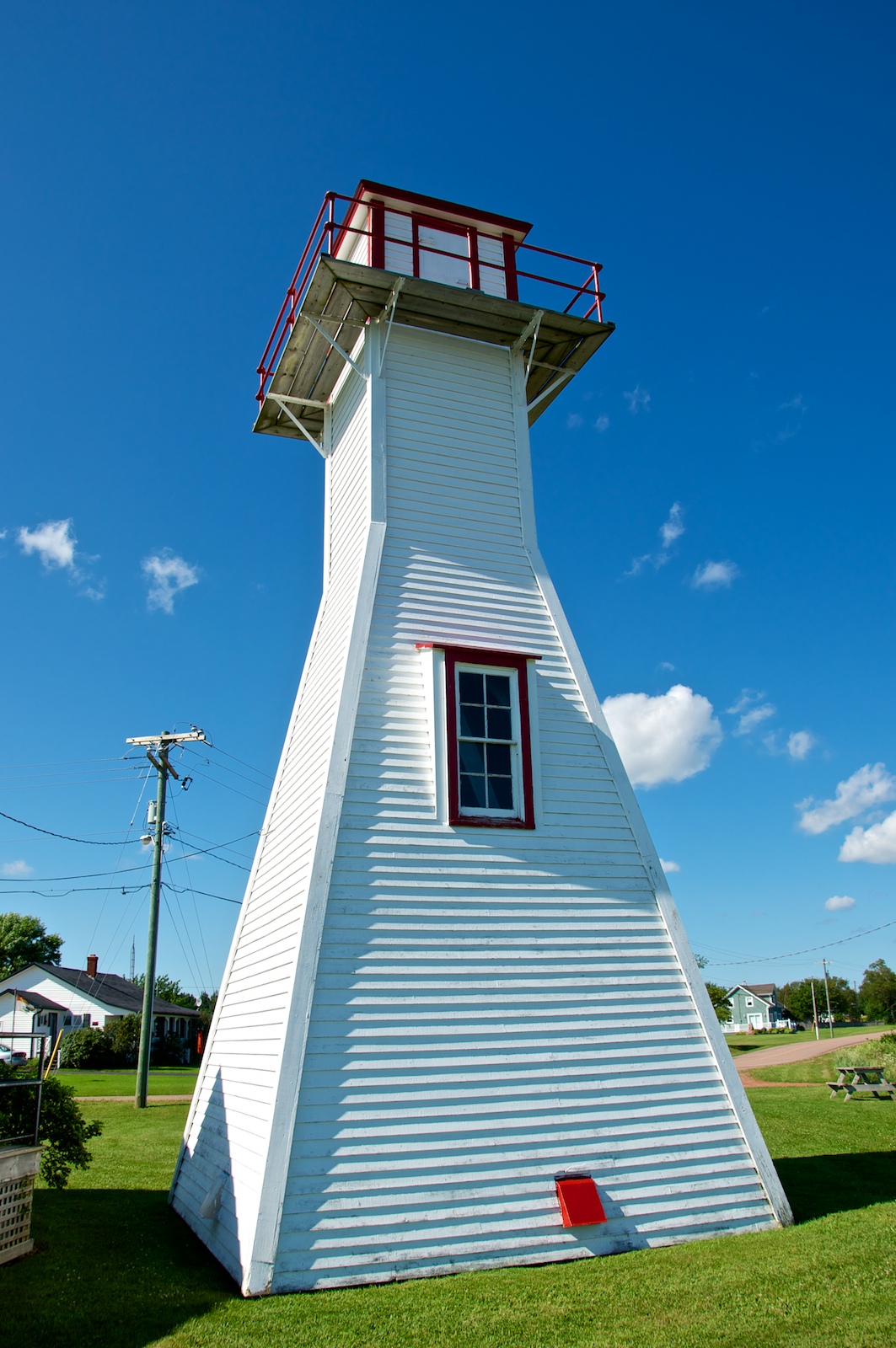
Northport Range Light, PEI (front view)
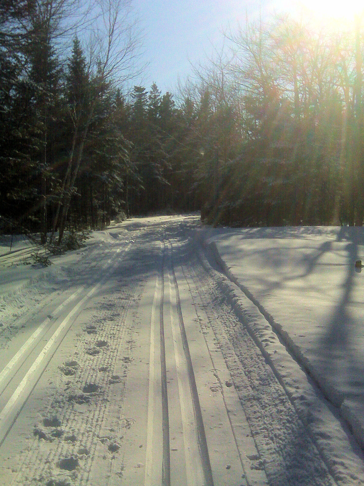
Cross Country Trail 1

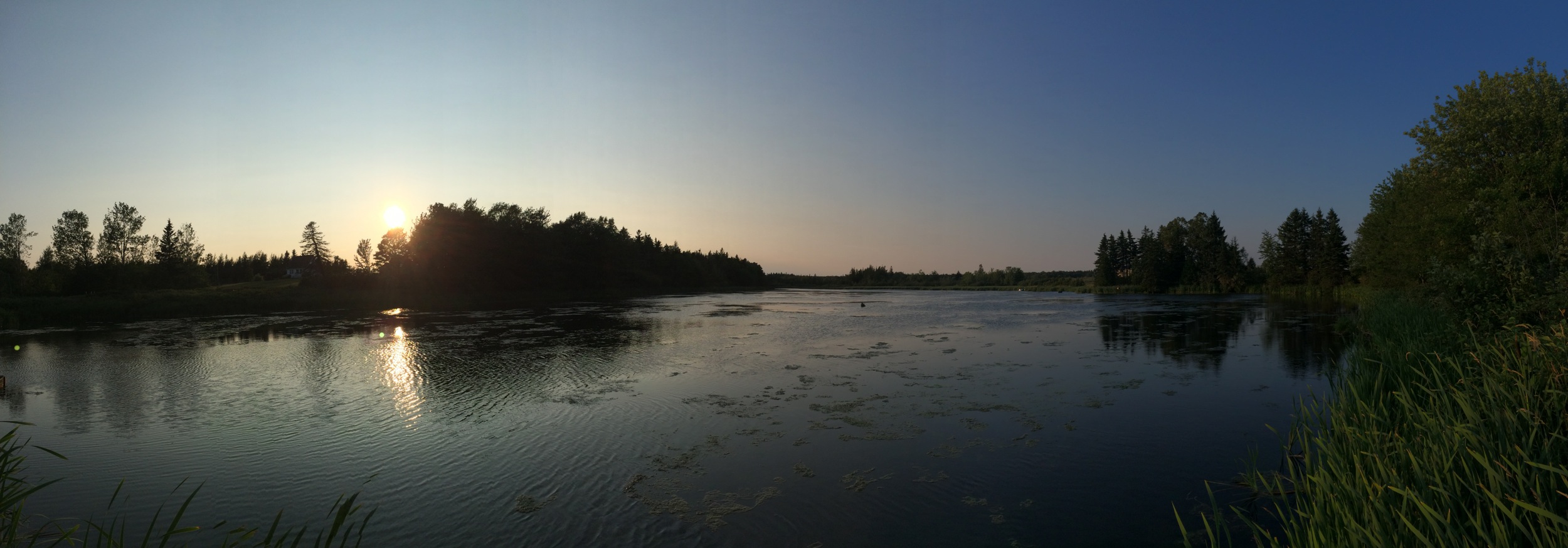
Bridge Sunset BW 2 January 26.11
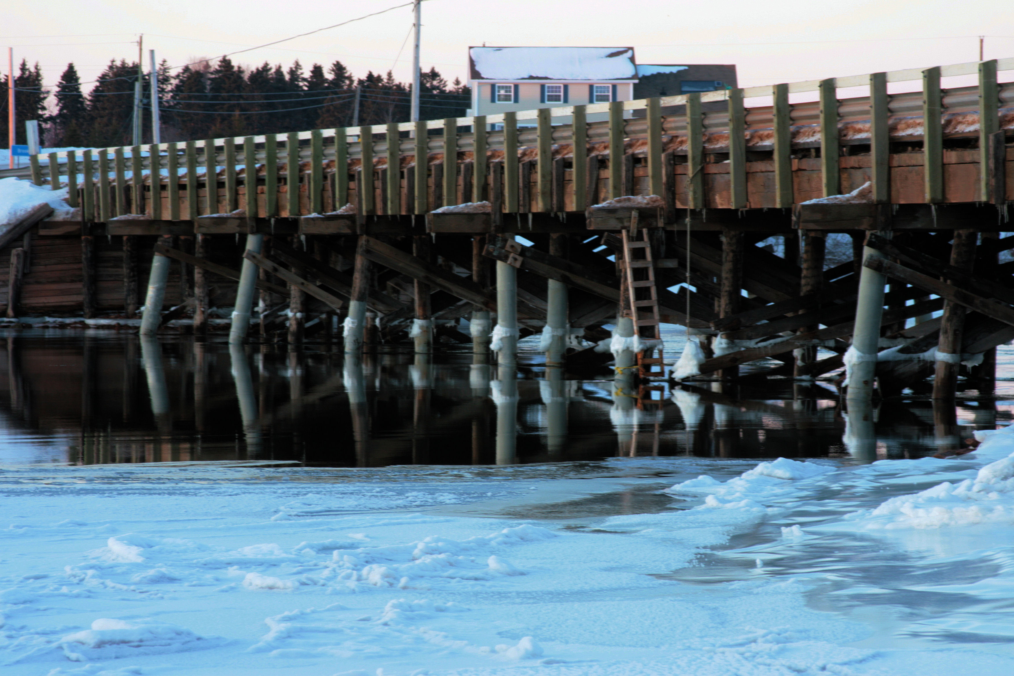
Bridge Sunset A January 26.11
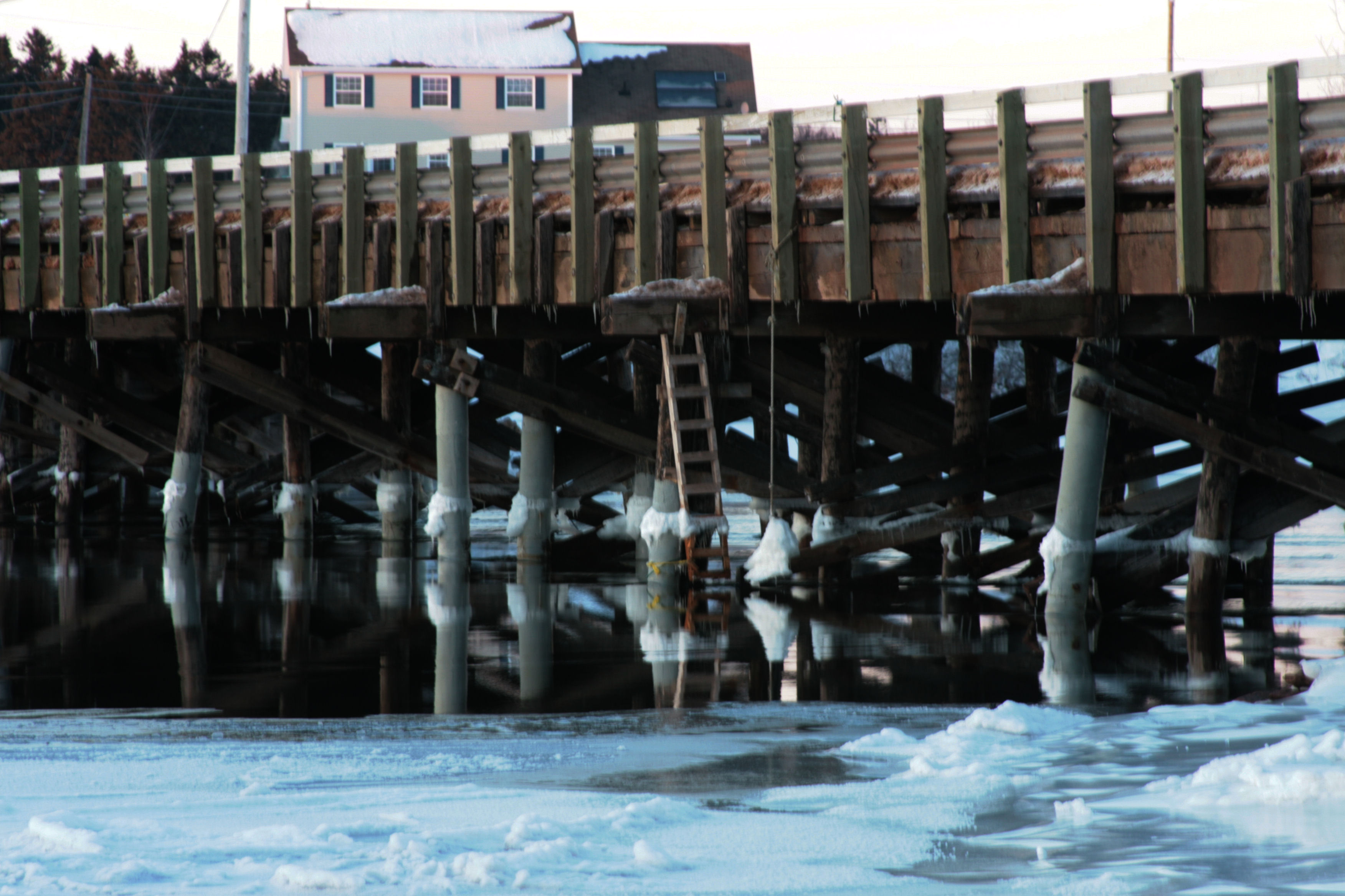
Bridge Sunset B January 26.11

Northport Range Light, PEI (harbour view)
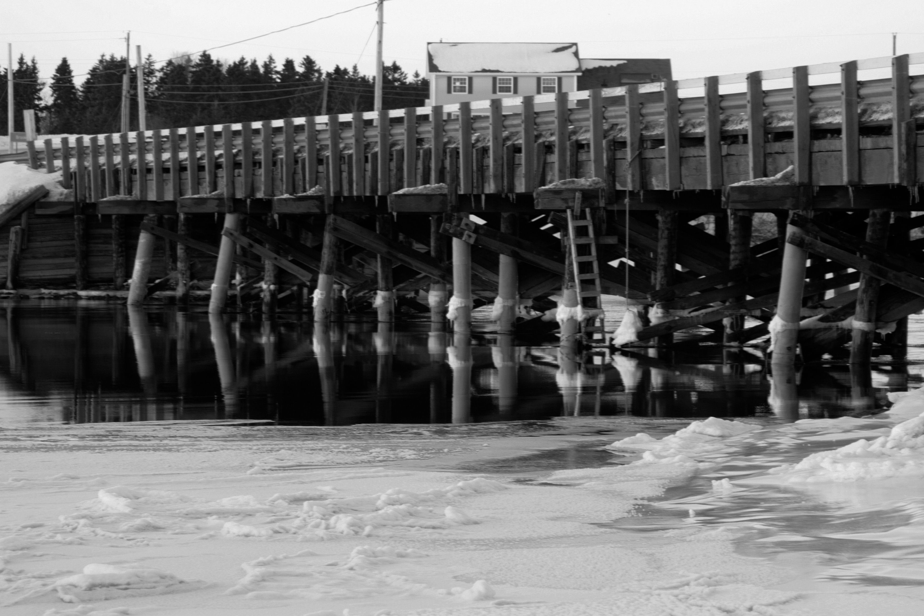
Bridge Sunset BW 1 January 26.11

Coleman, PEI
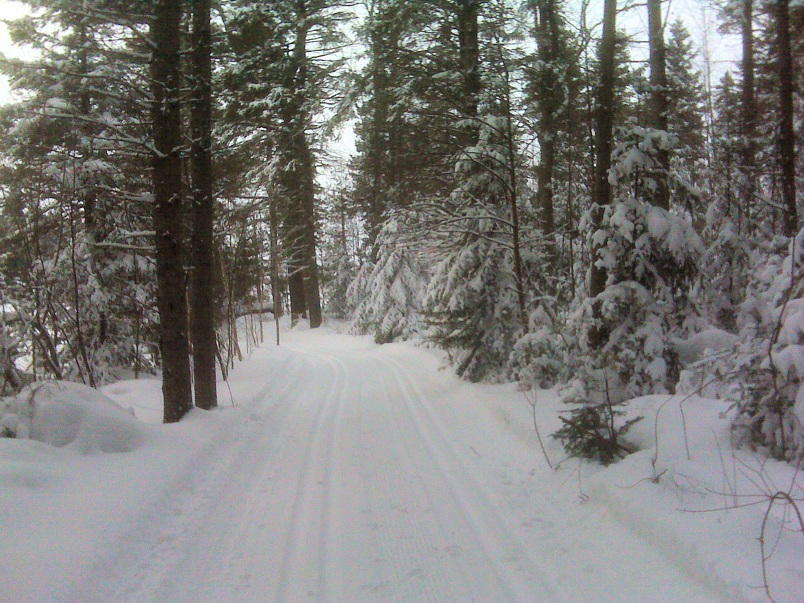
Cross Country Trail 3
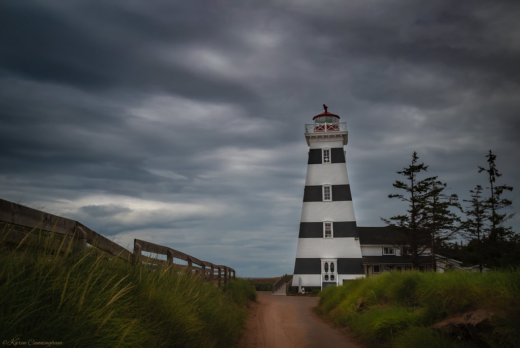
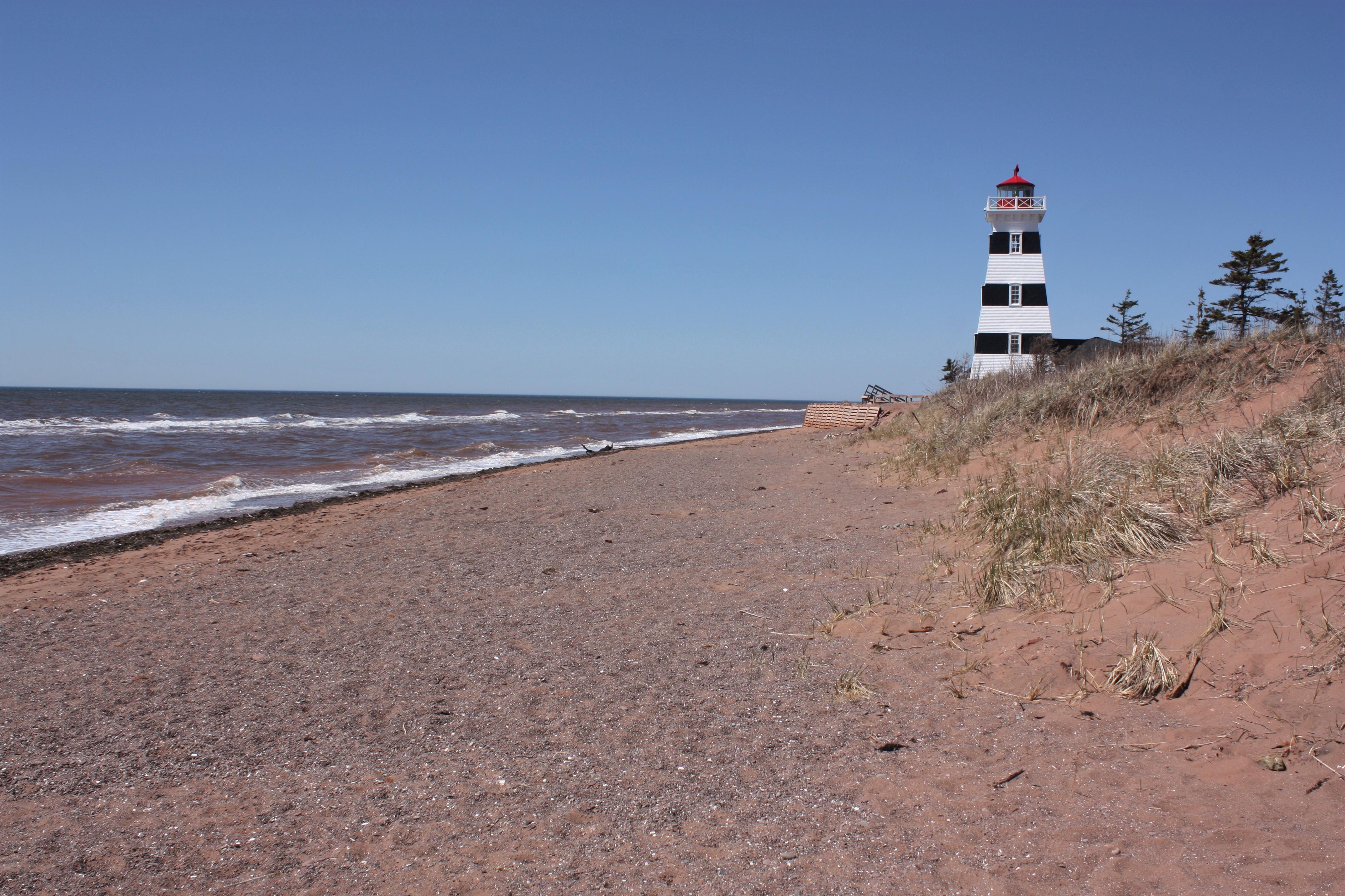
West Point Lighhouse

CANADA MONTREAL QUEBEC OLD TOWN QUEBEC CITY QUEBEC 8164 3 AJ20

west|point
Cape Wolfe Area PEI - 6
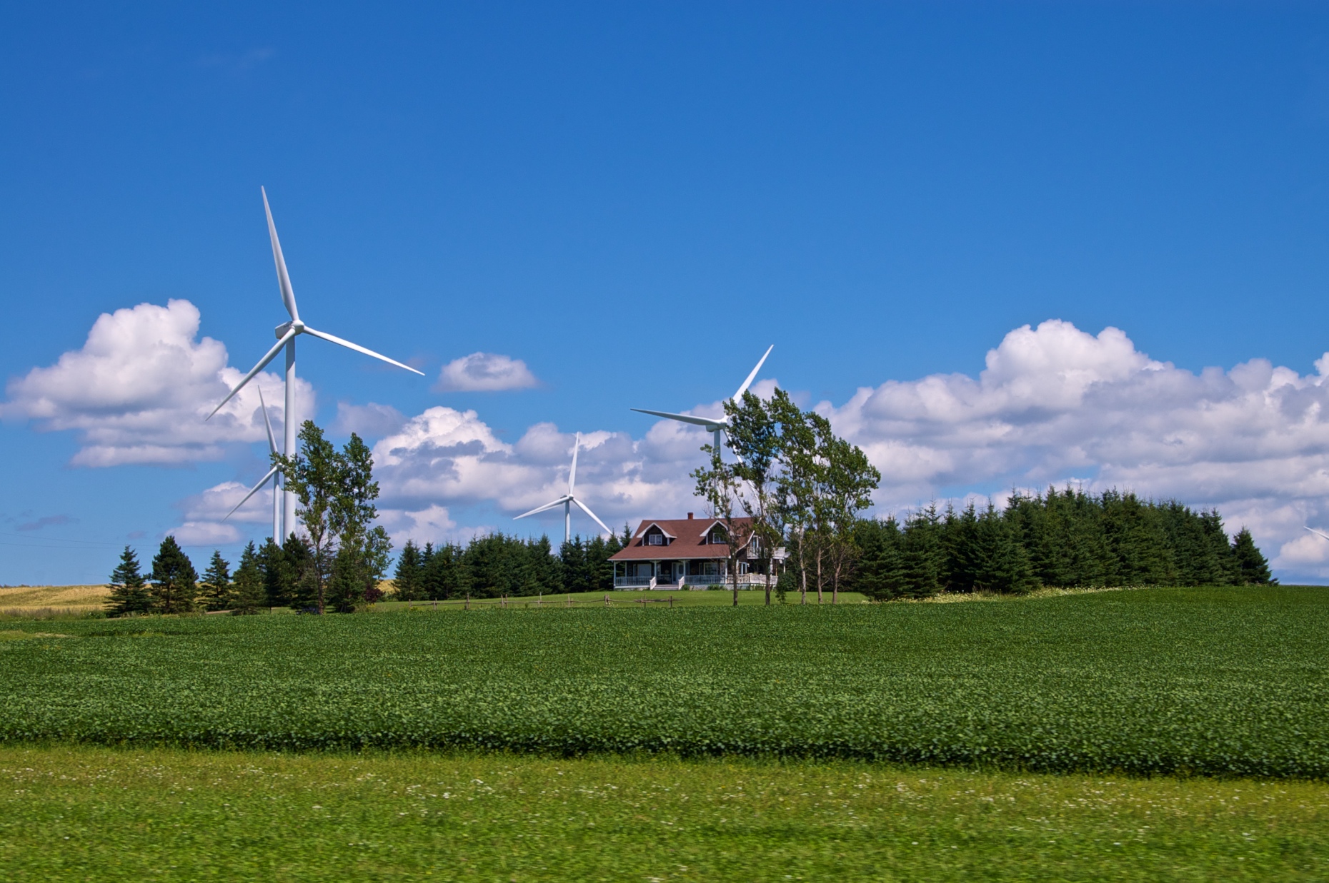
West Cape area Wind Farm
West Point Lighthouse & Inn.
The Shortcut: Beautiful path through the woods at the #MillRiver #Golf Course, #PEI

Mussel farming
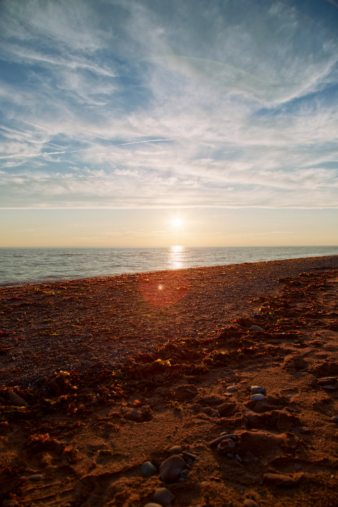
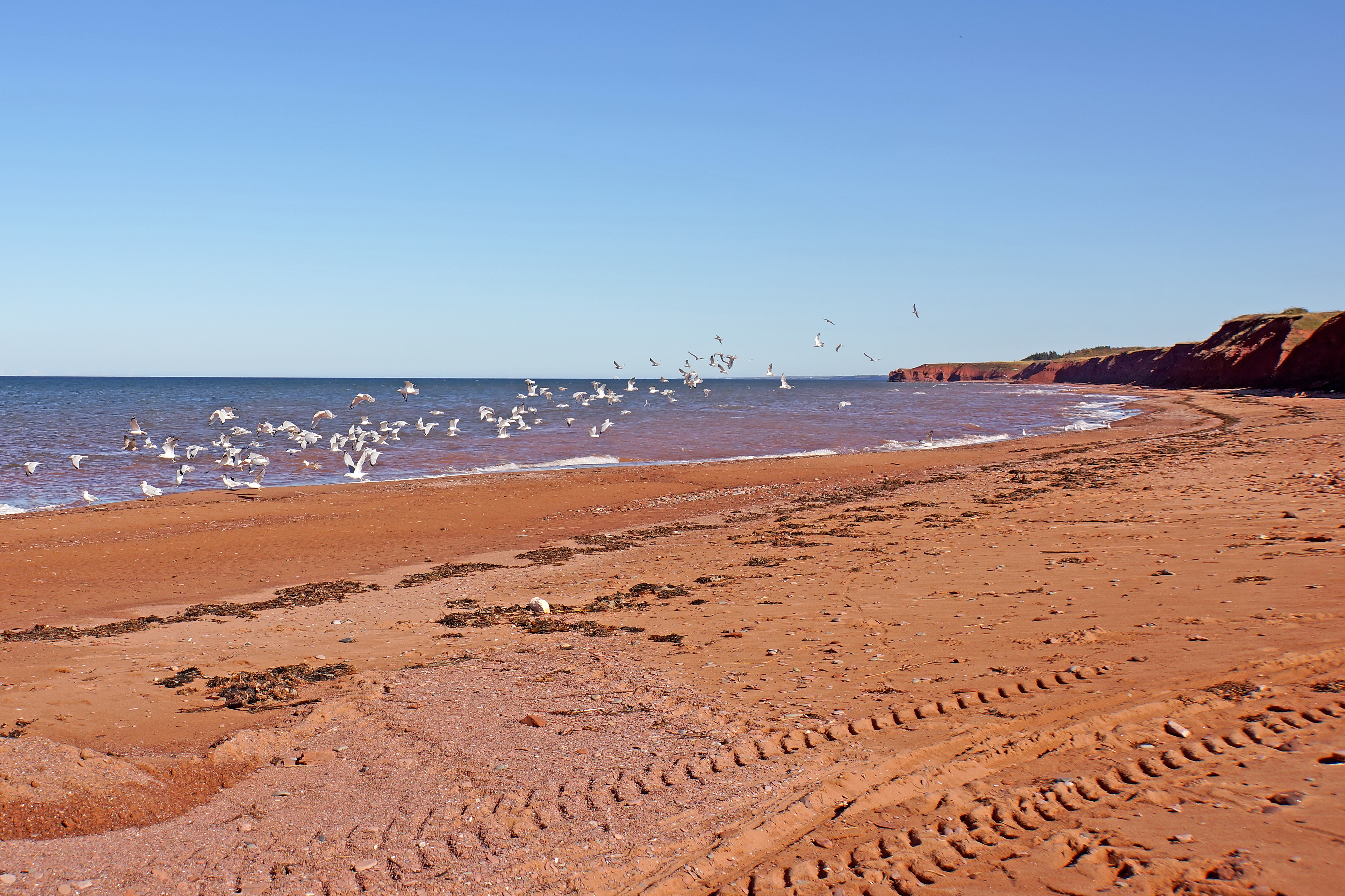
West Cape, PEI
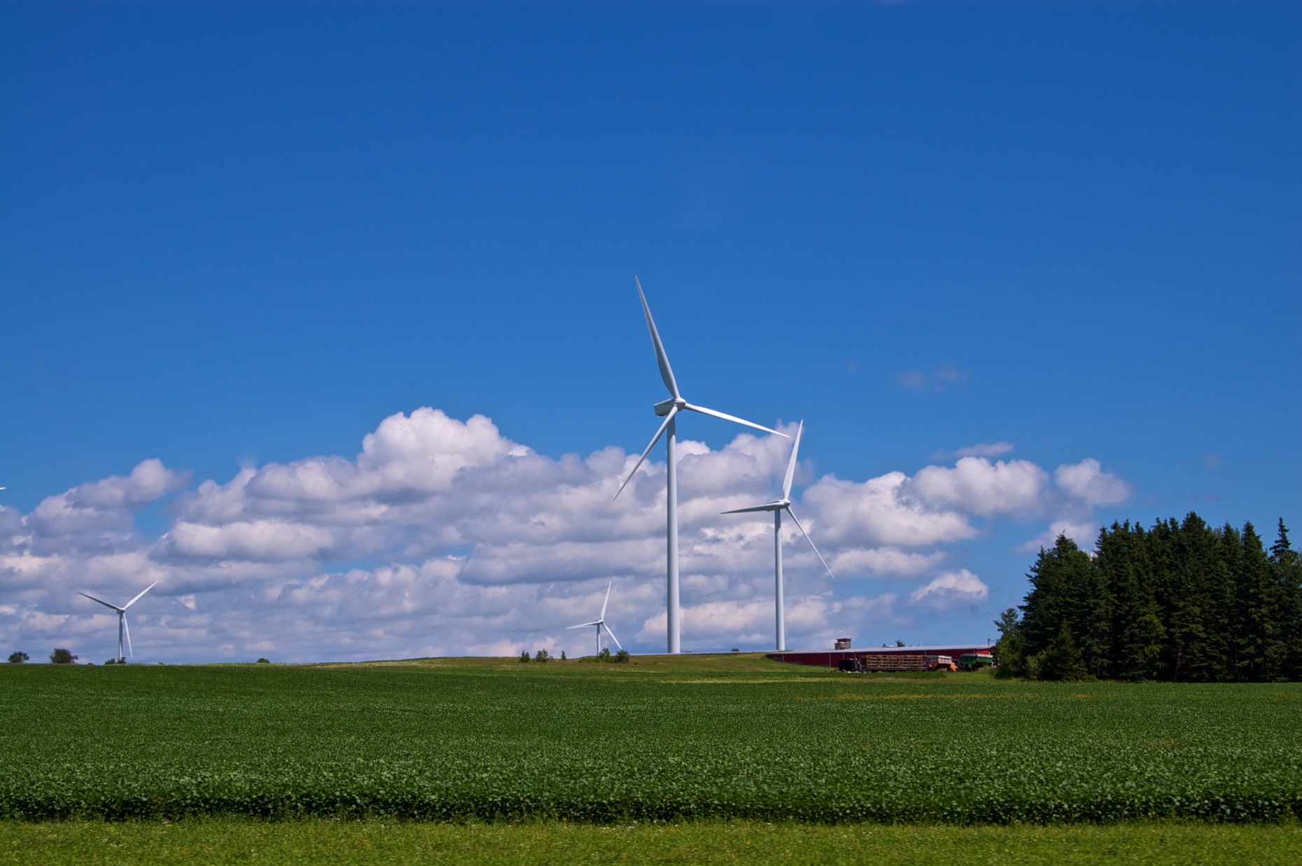
West Cape are Wind Farm
Panorama's from PEI
Northport PEI - 33
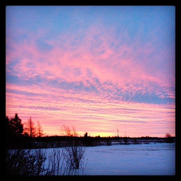
Red Sky at Morning, #PEI #sunrise
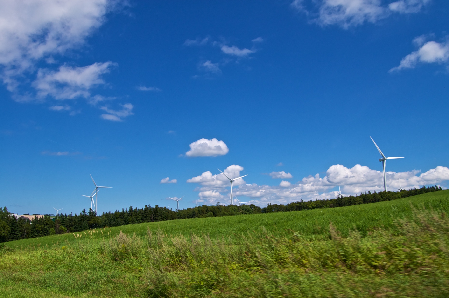
West Cape are Wind Farm
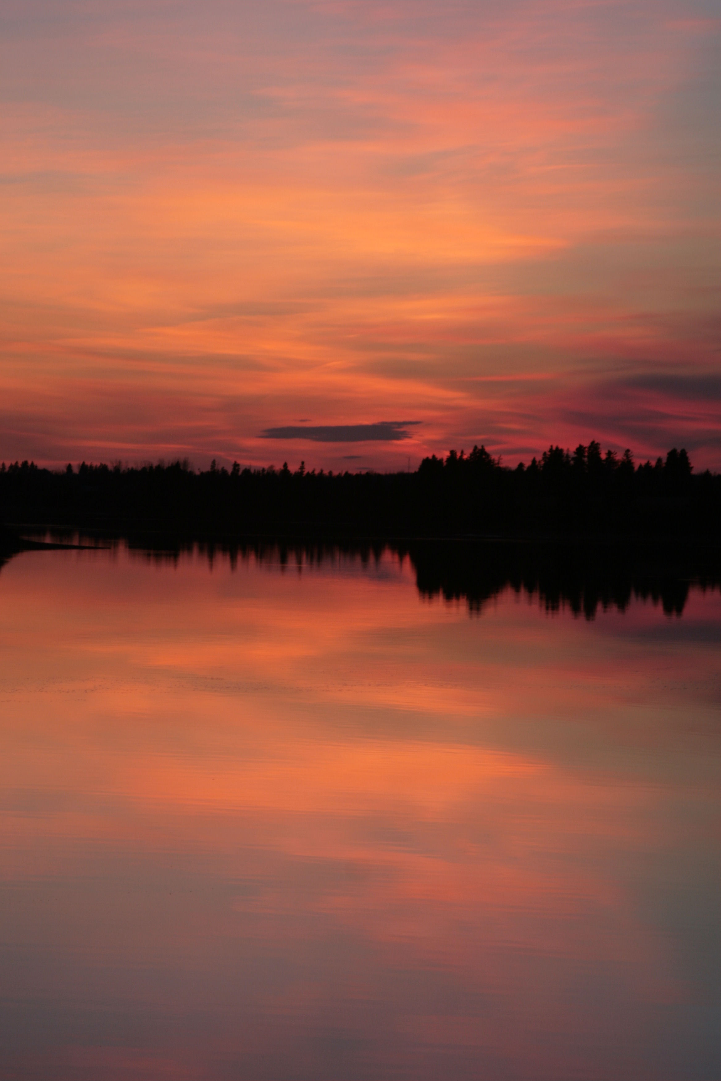
PEI Sunset
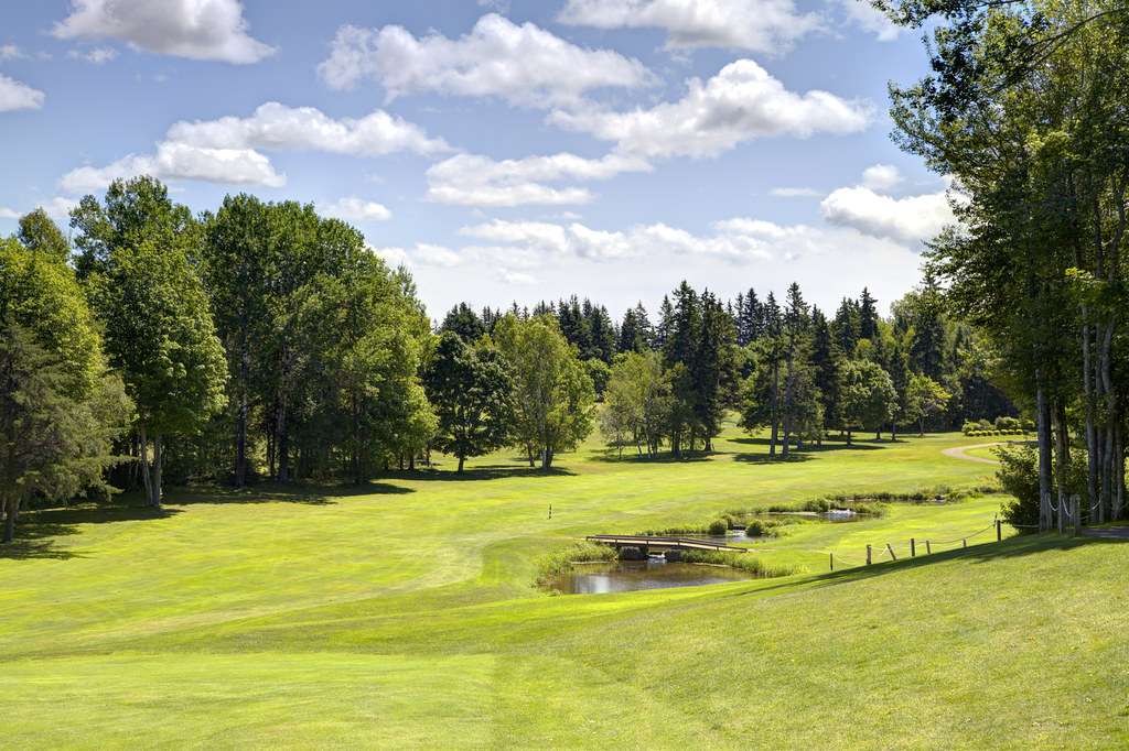
Looking back on Hole 7: Hunters Spring, Mill River Golf Course, PEI
Cape Wolfe, PEI
PEI-00614 - Western Coast
Untouched Vertical nov 13.10
Topographic Map of O'Leary, PE C0B, Canada
Find elevation by address:

Places near O'Leary, PE C0B, Canada:
2351 O'leary Rd
737 Duvar Rd
O'Leary Rd, O'Leary, PE C0B 1V0, Canada
1952 Boulter Rd
Coleman
O'leary Road
1910 Pe-14
Beaton Rd, Coleman, PE C0B 1H0, Canada
Lot 6
Lot 9
Brae Harbour Rd, Coleman, PE C0B 1H0, Canada
Lot 8
Cascumpec Rd, O'Leary, PE C0B 1V0, Canada
Lot 10
Portage
Inverness
542 Enmore Rd
8 Portage Shore Rd, Ellerslie, PE C0B 1J0, Canada
Oatway Rd, Ellerslie, PE C0B 1J0, Canada
474 Oatway Rd
Recent Searches:
- Elevation of Felindre, Swansea SA5 7LU, UK
- Elevation of Leyte Industrial Development Estate, Isabel, Leyte, Philippines
- Elevation of W Granada St, Tampa, FL, USA
- Elevation of Pykes Down, Ivybridge PL21 0BY, UK
- Elevation of Jalan Senandin, Lutong, Miri, Sarawak, Malaysia
- Elevation of Bilohirs'k
- Elevation of 30 Oak Lawn Dr, Barkhamsted, CT, USA
- Elevation of Luther Road, Luther Rd, Auburn, CA, USA
- Elevation of Unnamed Road, Respublika Severnaya Osetiya — Alaniya, Russia
- Elevation of Verkhny Fiagdon, North Ossetia–Alania Republic, Russia