Elevation of Western Rd, Alberton, PE C0B 1B0, Canada
Location: Canada > Prince Edward Island > Prince County > Lot 4 >
Longitude: -64.138511
Latitude: 46.819828
Elevation: 37m / 121feet
Barometric Pressure: 101KPa
Elevation Map:
Satellite Map:
Related Photos:
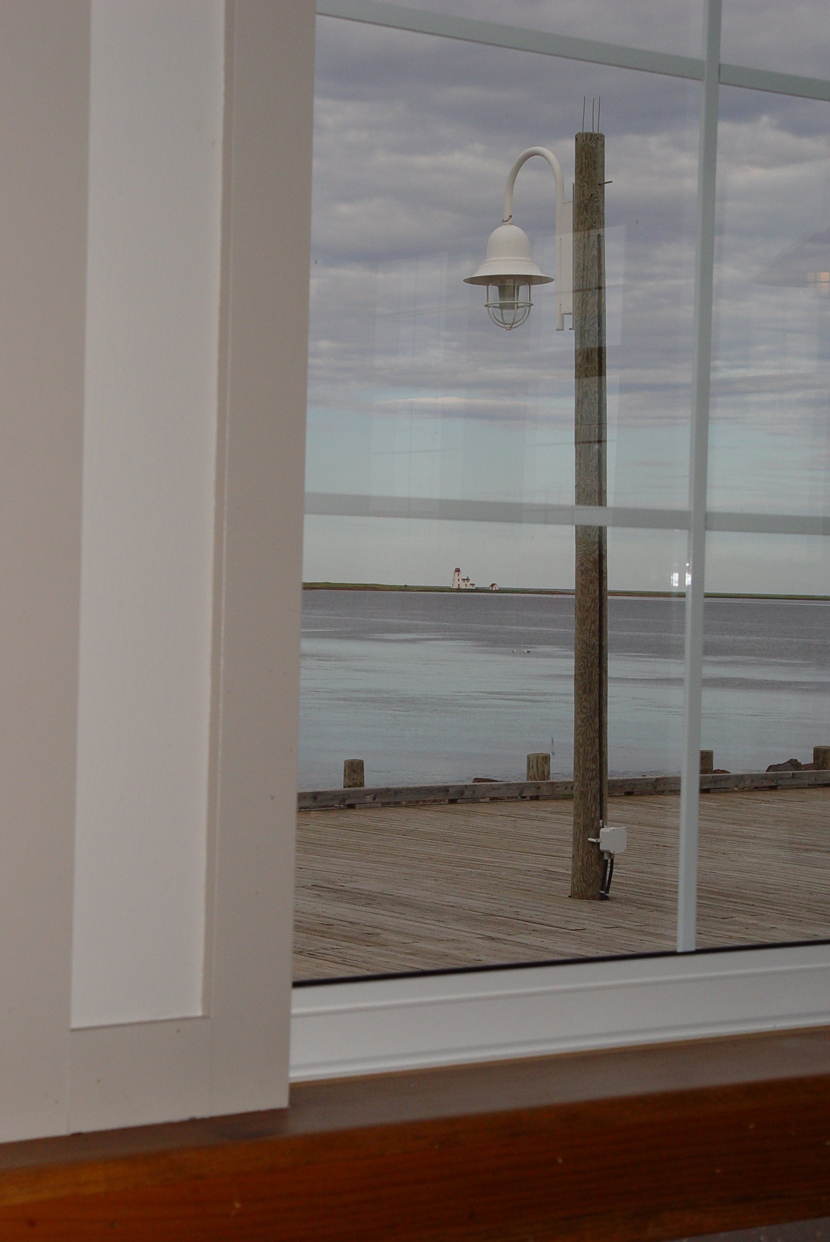
48 Restaurant View
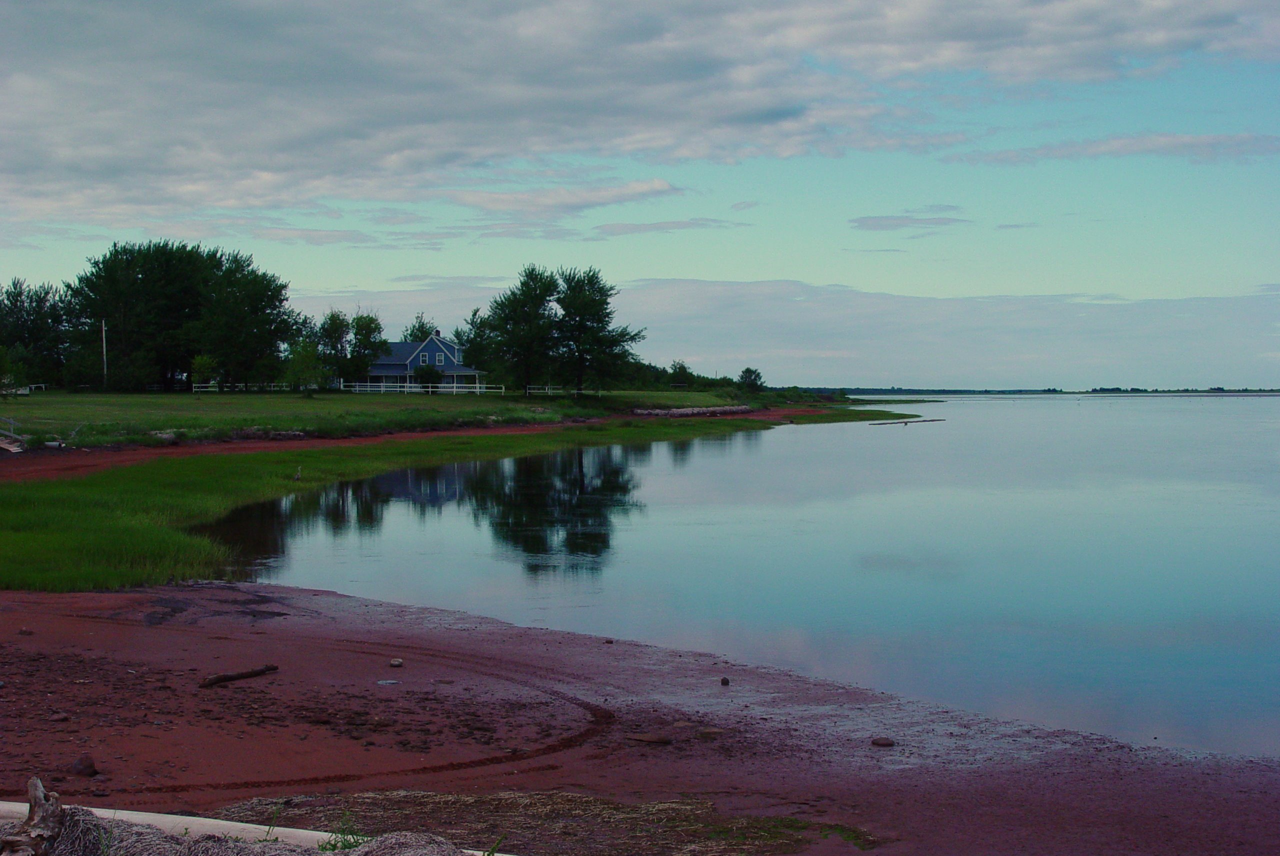
51 Northport View

Cross Country Trail 4
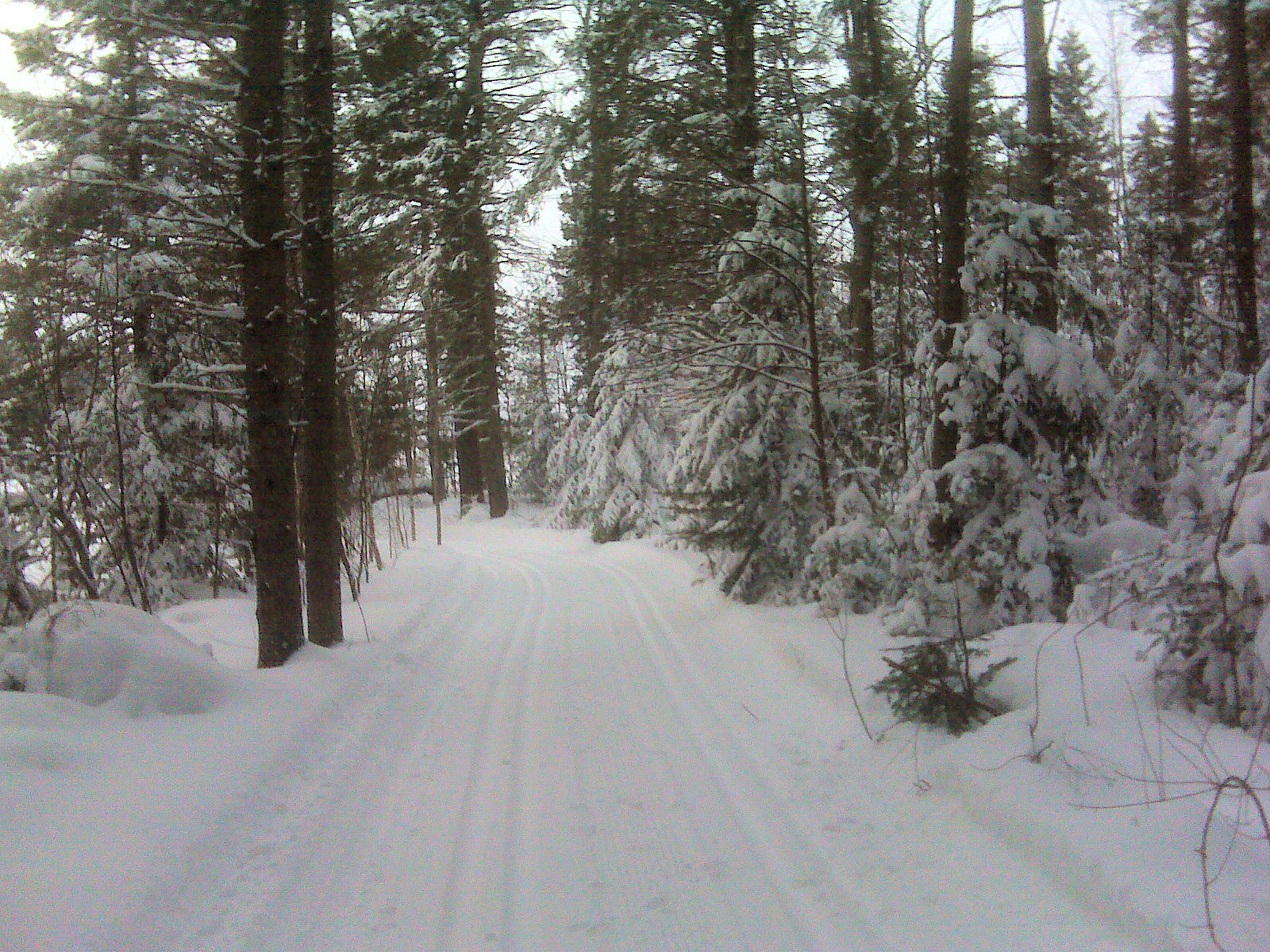
Cross Country Trail 3
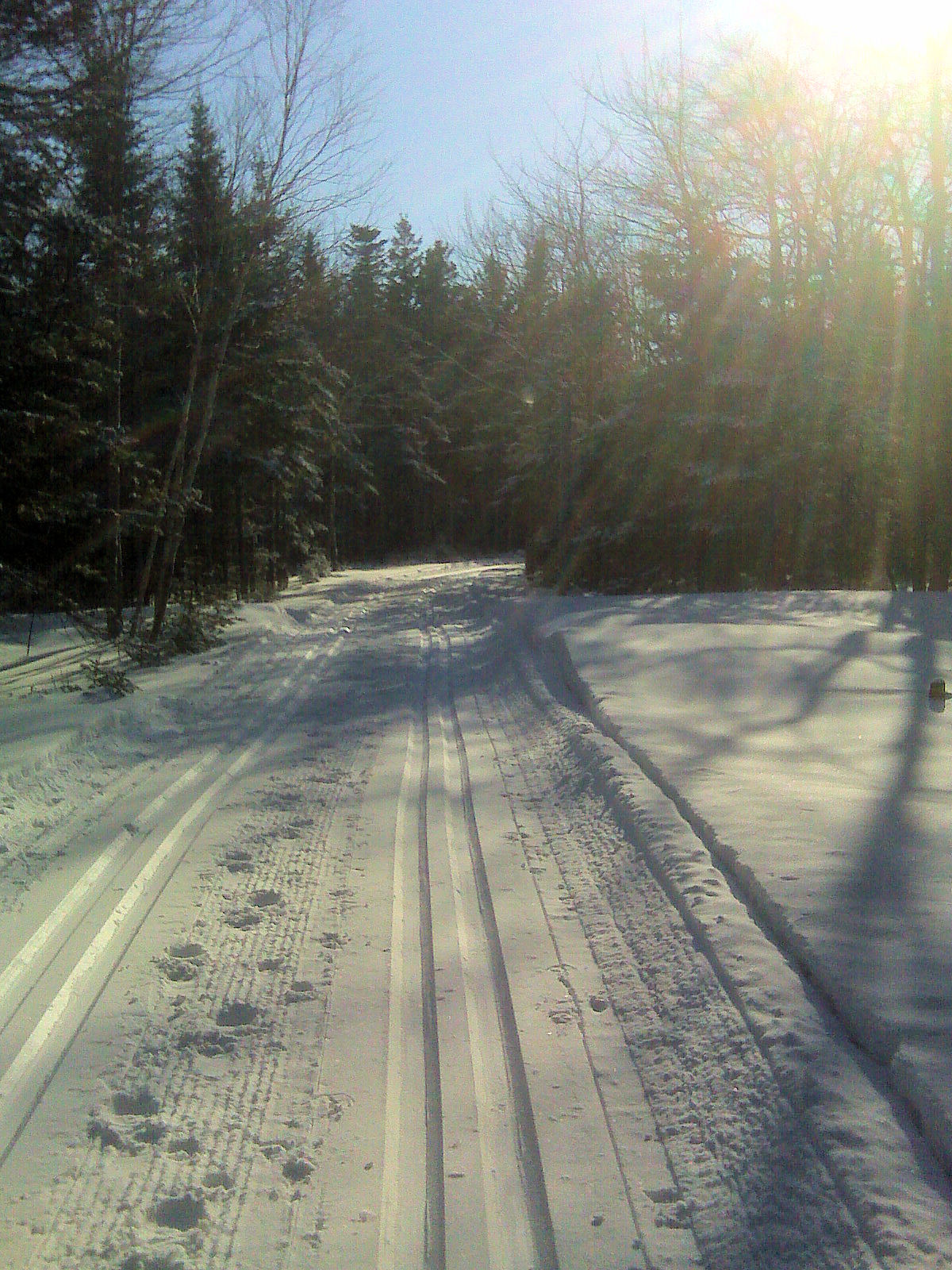
Cross Country Trail 1

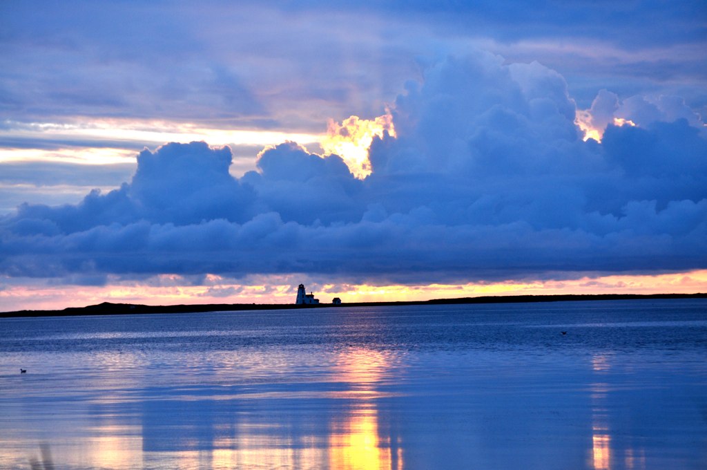
Bridge Sunset BW 2 January 26.11
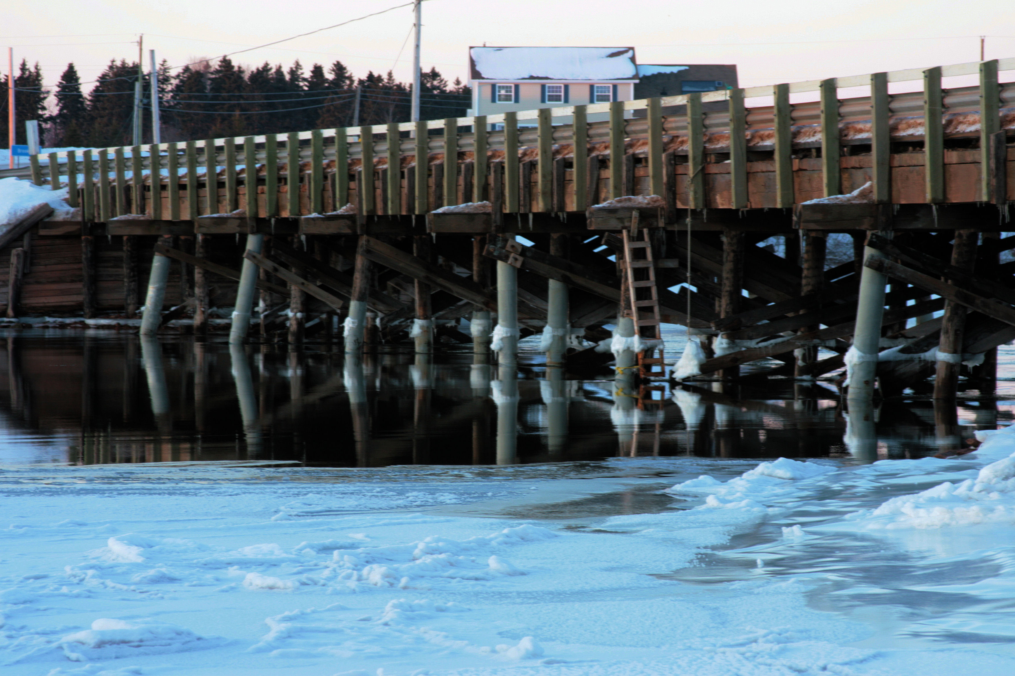
Bridge Sunset A January 26.11
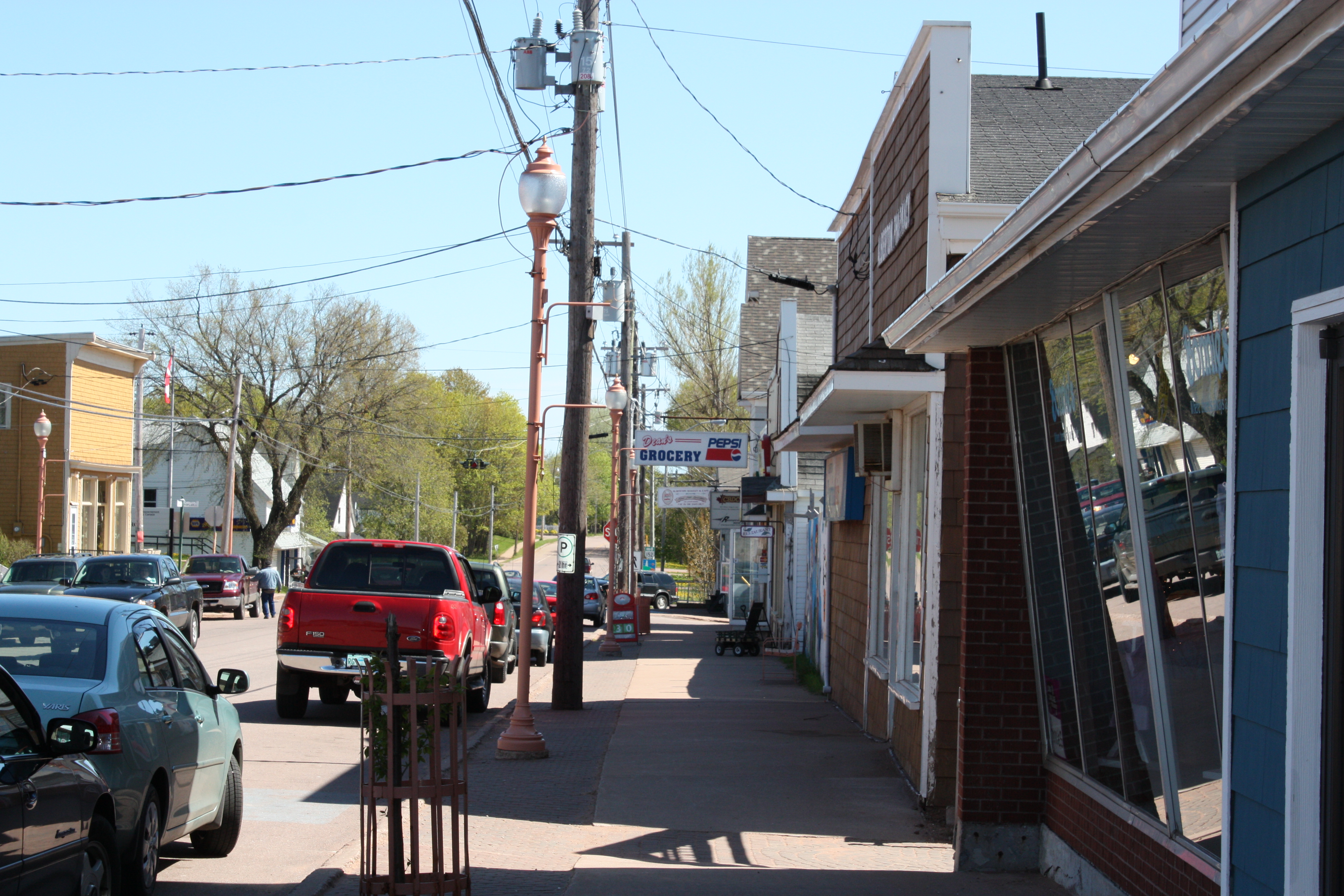
Alberton, PEI
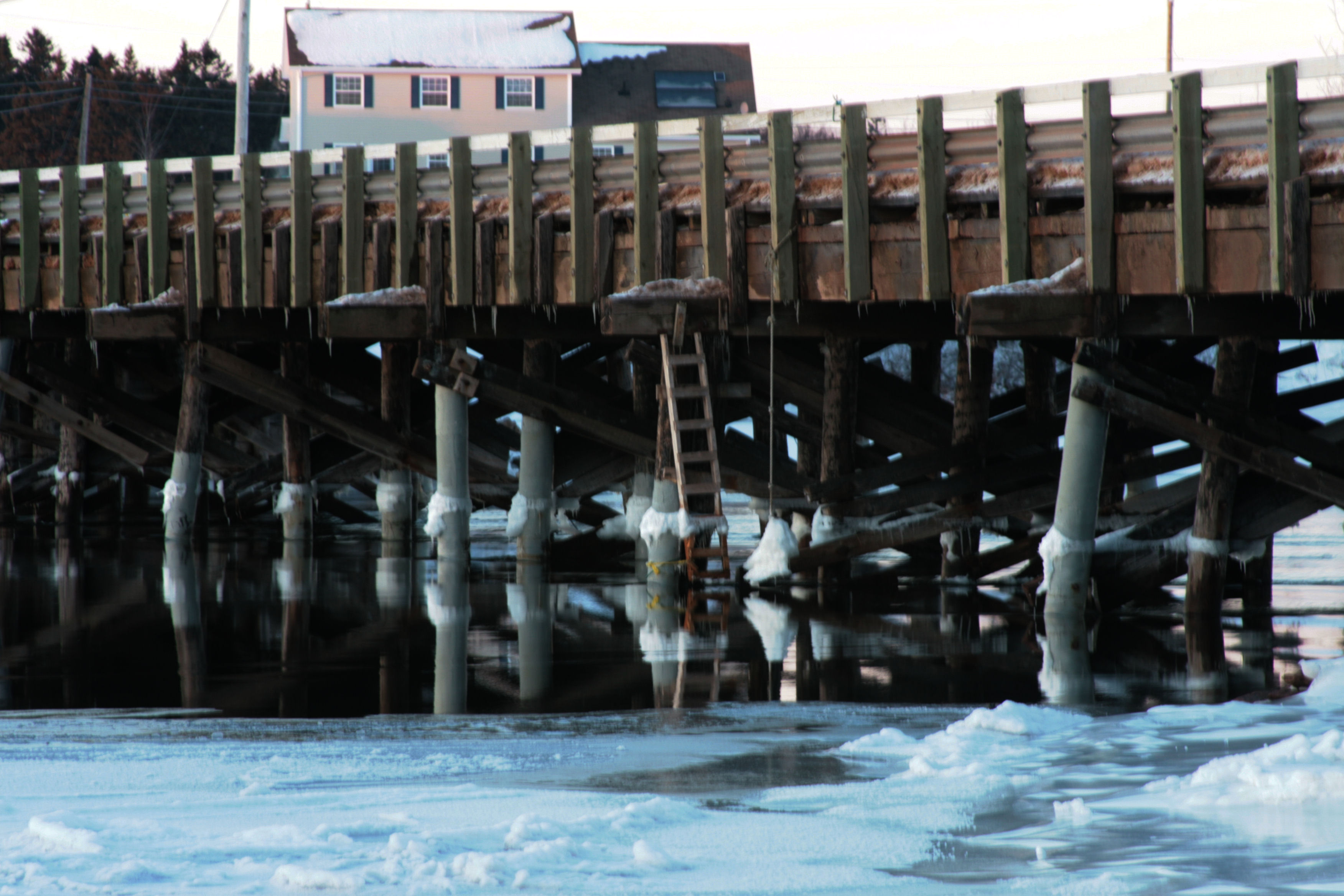
Bridge Sunset B January 26.11
Prince Edward Island, Canada
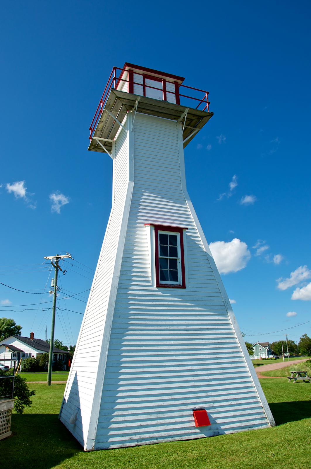
Northport Range Light, PEI (front view)

Cross Country Trail 2

Northport Range Light, PEI (harbour view)
Bridge Sunset BW 1 January 26.11

CANADA MONTREAL QUEBEC OLD TOWN QUEBEC CITY QUEBEC 8164 3 AJ20
Miminegash, PEI

Miminegash, PEI

23 Miminegash Shore
Northport PEI - 33

Herons at #Sunset, Miminegash-Roseville watershed #Tignish area, #PEI

Untouched Nov 13.10
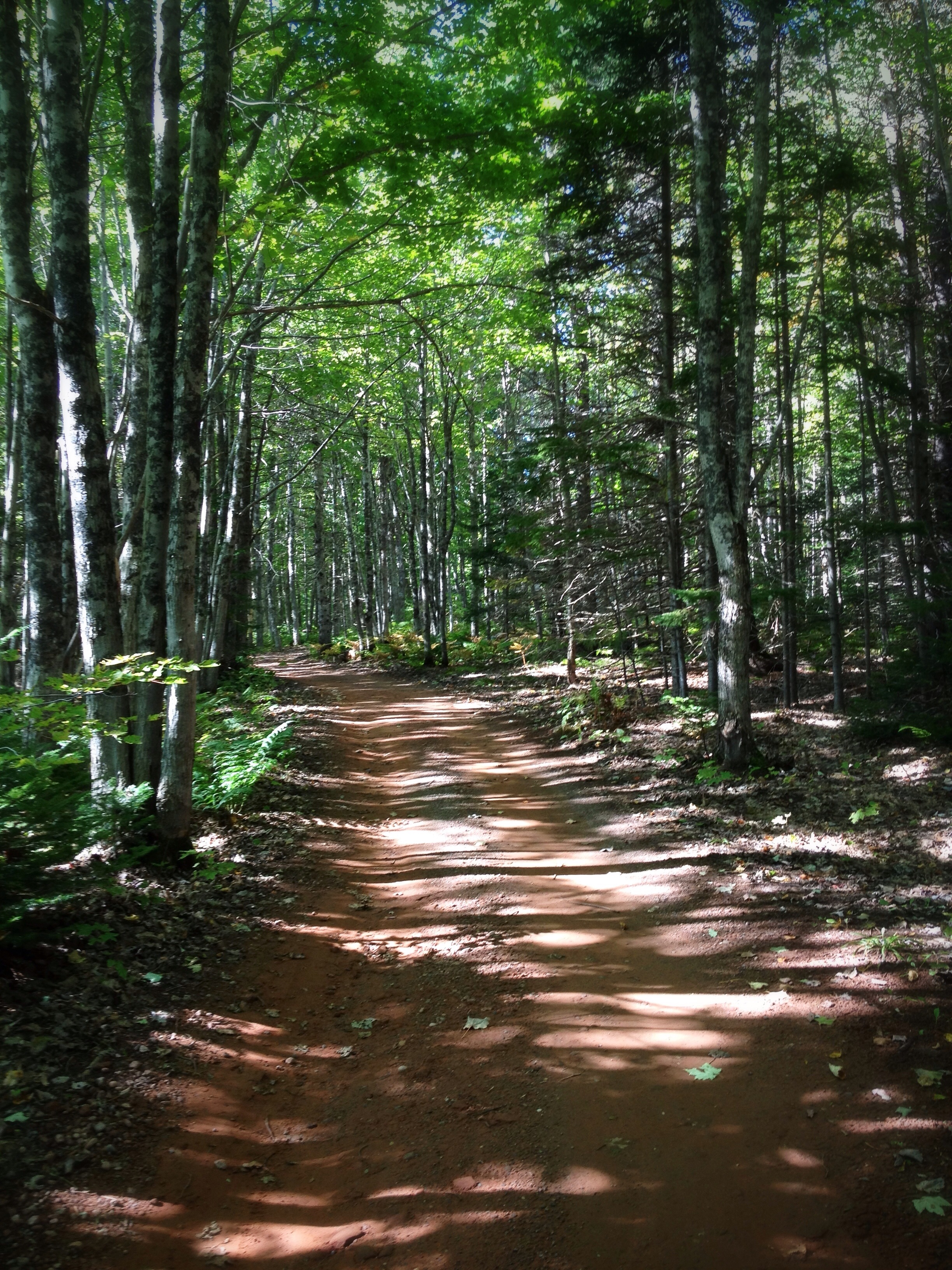
The Shortcut: Beautiful path through the woods at the #MillRiver #Golf Course, #PEI

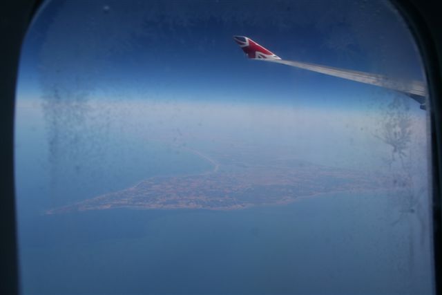
Western PEI Shoreline

Untouched Vertical nov 13.10

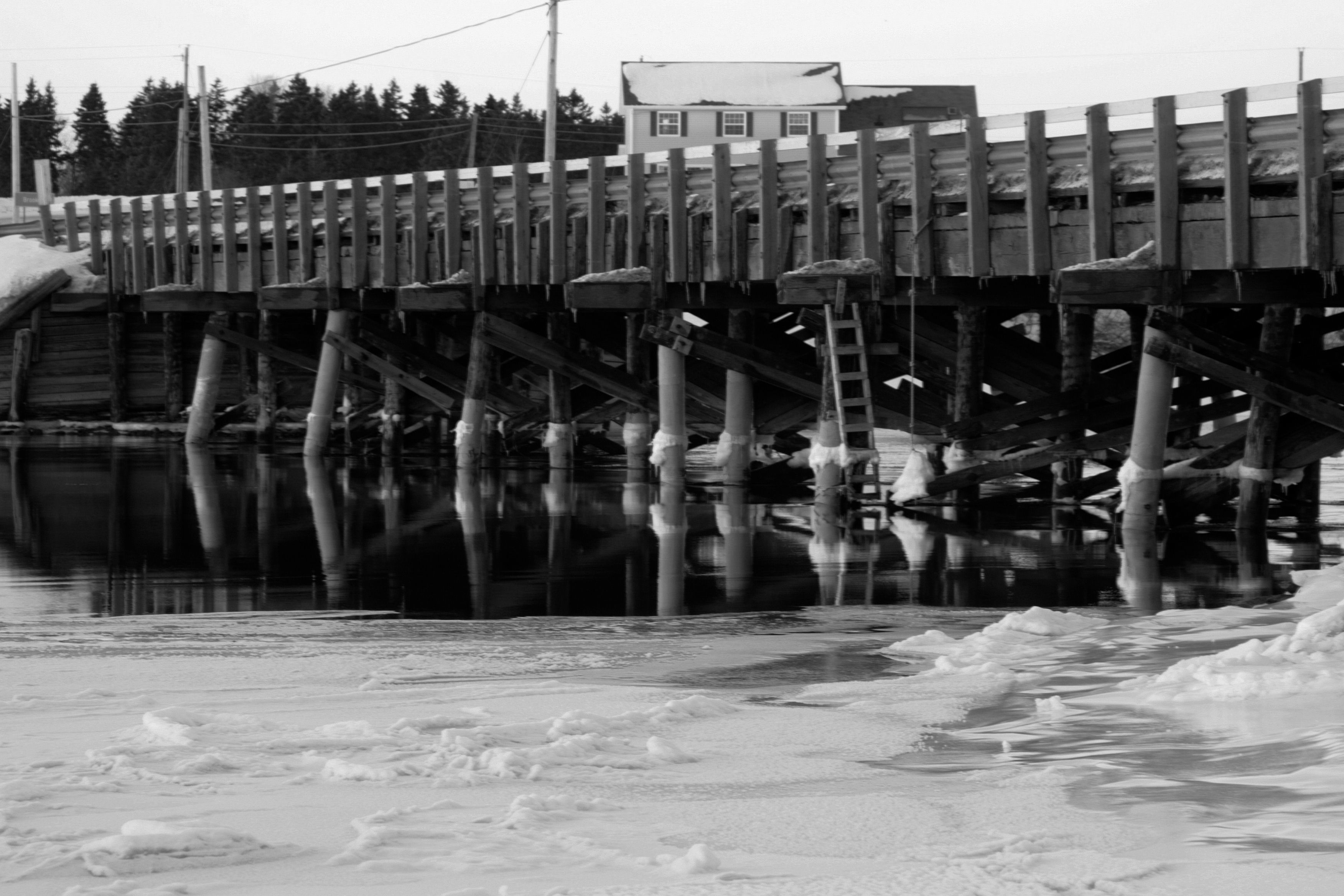
Still abandoned
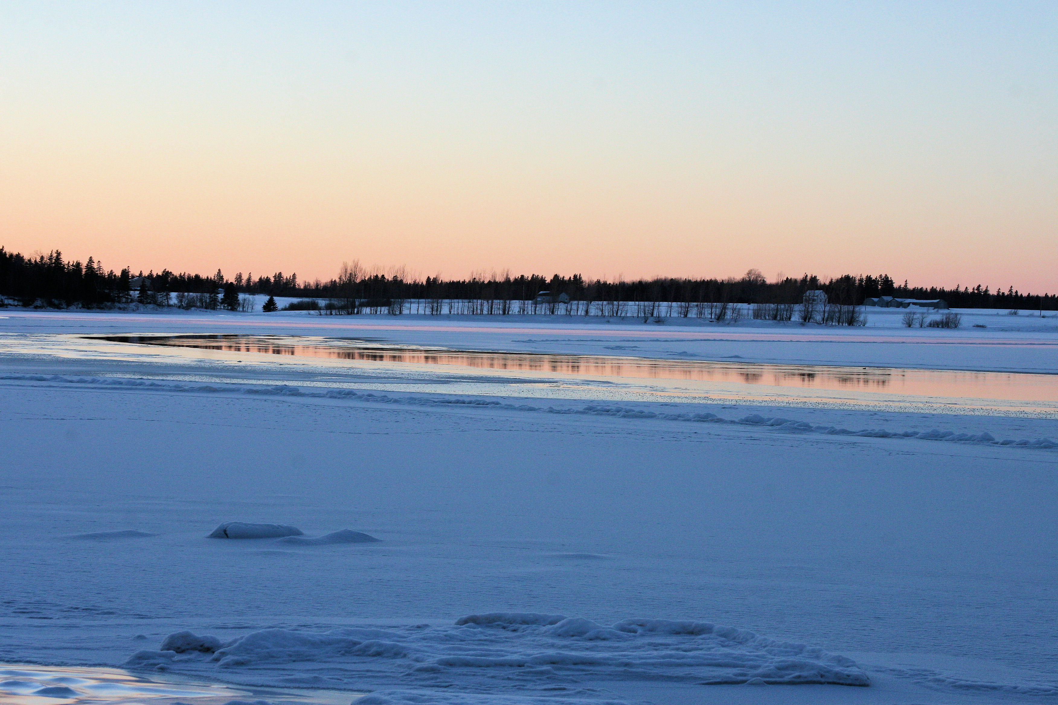
Sunset on frozen bay C January 26.11

22 Miminegash Shore
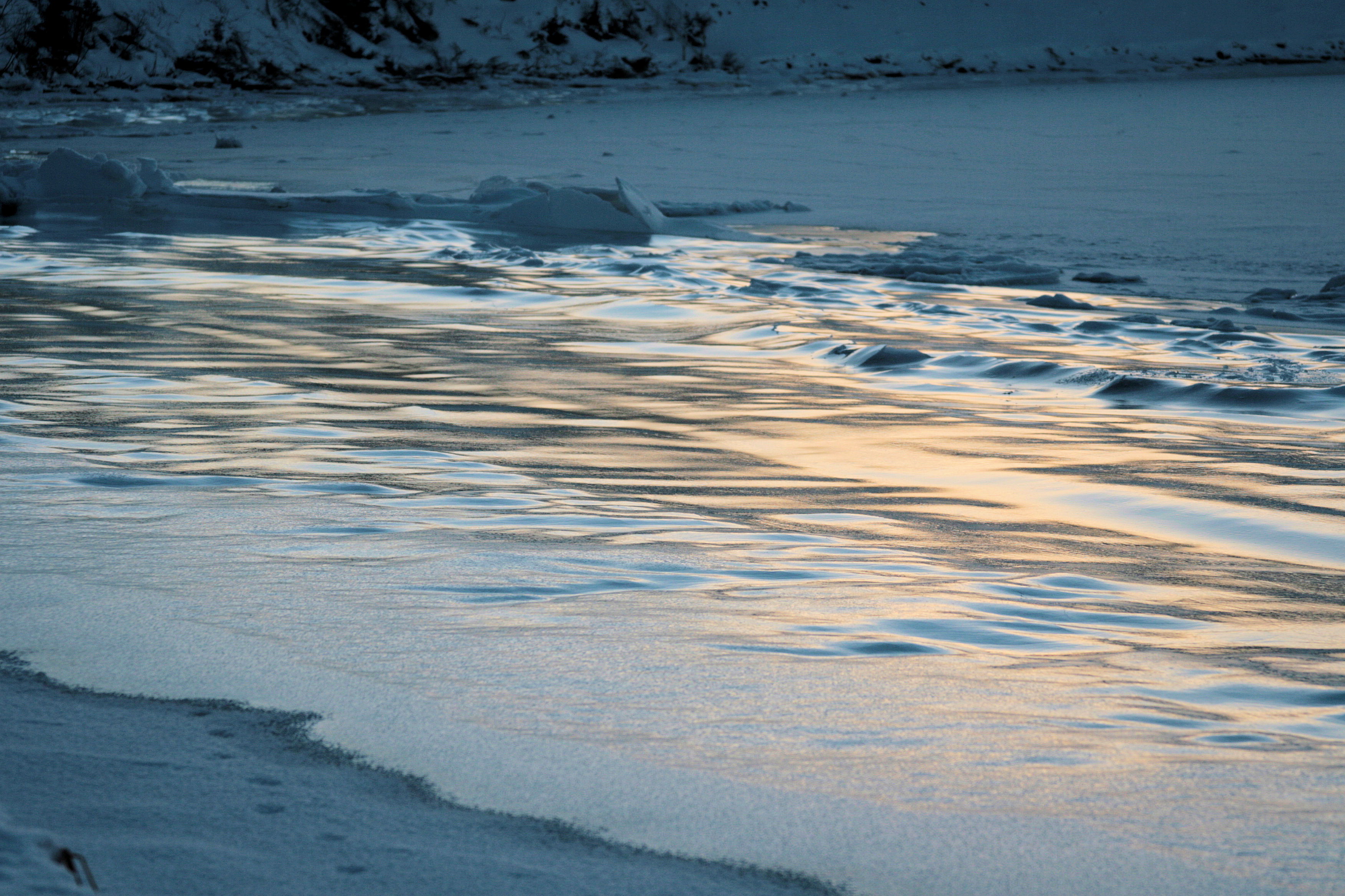
Frozen Waves D January 26.11
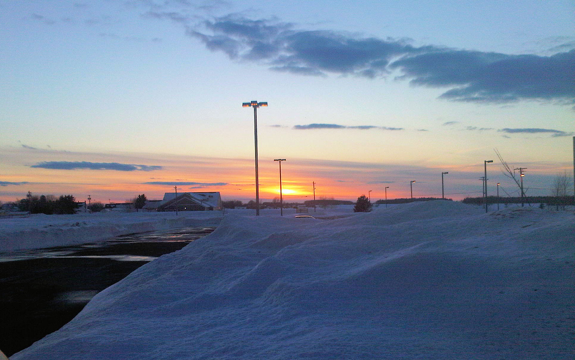
Sunset at the clinic Feb19.11

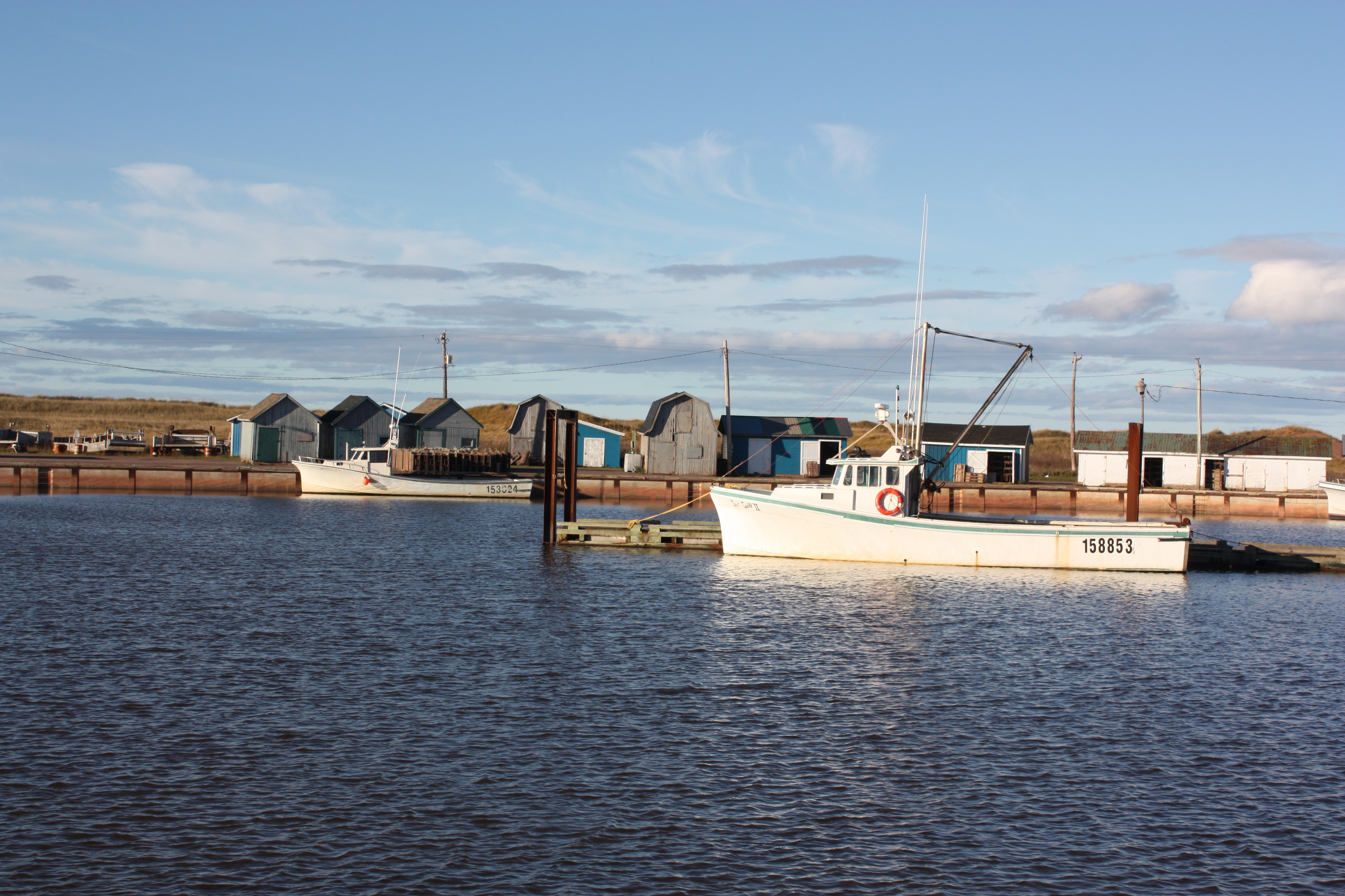
Miminegash Harbour

Lobster Traps on the Western Shore
Frozen Waves January 26.11
Topographic Map of Western Rd, Alberton, PE C0B 1B0, Canada
Find elevation by address:

Places near Western Rd, Alberton, PE C0B 1B0, Canada:
Lot 4
Western Rd, Alberton, PE C0B 1B0, Canada
Lot 3
Lot 3
Lot 5
Bloomfield Corner
Alberton
Marchbank Rd, Elmsdale, PE C0B 1K0, Canada
64 Carol St, Alberton, PE C0B 1B0, Canada
Cascumpec Rd, O'Leary, PE C0B 1V0, Canada
Lot 6
Ohalloran Rd, Bloomfield, PE C0B 1E0, Canada
Bloomfield
737 Duvar Rd
Pridham Rd, Alberton, PE C0B 1B0, Canada
O'Leary Rd, O'Leary, PE C0B 1V0, Canada
Clark Rd, Tignish, PE C0B 2B0, Canada
Greenmount Rd, Tignish, PE C0B 2B0, Canada
Coleman
O'leary
Recent Searches:
- Elevation of Kreuzburger Weg 13, Düsseldorf, Germany
- Elevation of Gateway Blvd SE, Canton, OH, USA
- Elevation of East W.T. Harris Boulevard, E W.T. Harris Blvd, Charlotte, NC, USA
- Elevation of West Sugar Creek, Charlotte, NC, USA
- Elevation of Wayland, NY, USA
- Elevation of Steadfast Ct, Daphne, AL, USA
- Elevation of Lagasgasan, X+CQH, Tiaong, Quezon, Philippines
- Elevation of Rojo Ct, Atascadero, CA, USA
- Elevation of Flagstaff Drive, Flagstaff Dr, North Carolina, USA
- Elevation of Avery Ln, Lakeland, FL, USA