Elevation of Blind Pond Rd, Narrowsburg, NY, USA
Location: United States > New York > Sullivan County > Tusten > Narrowsburg >
Longitude: -74.922005
Latitude: 41.5743739
Elevation: -10000m / -32808feet
Barometric Pressure: 295KPa
Elevation Map:
Satellite Map:
Related Photos:

5mph Wake
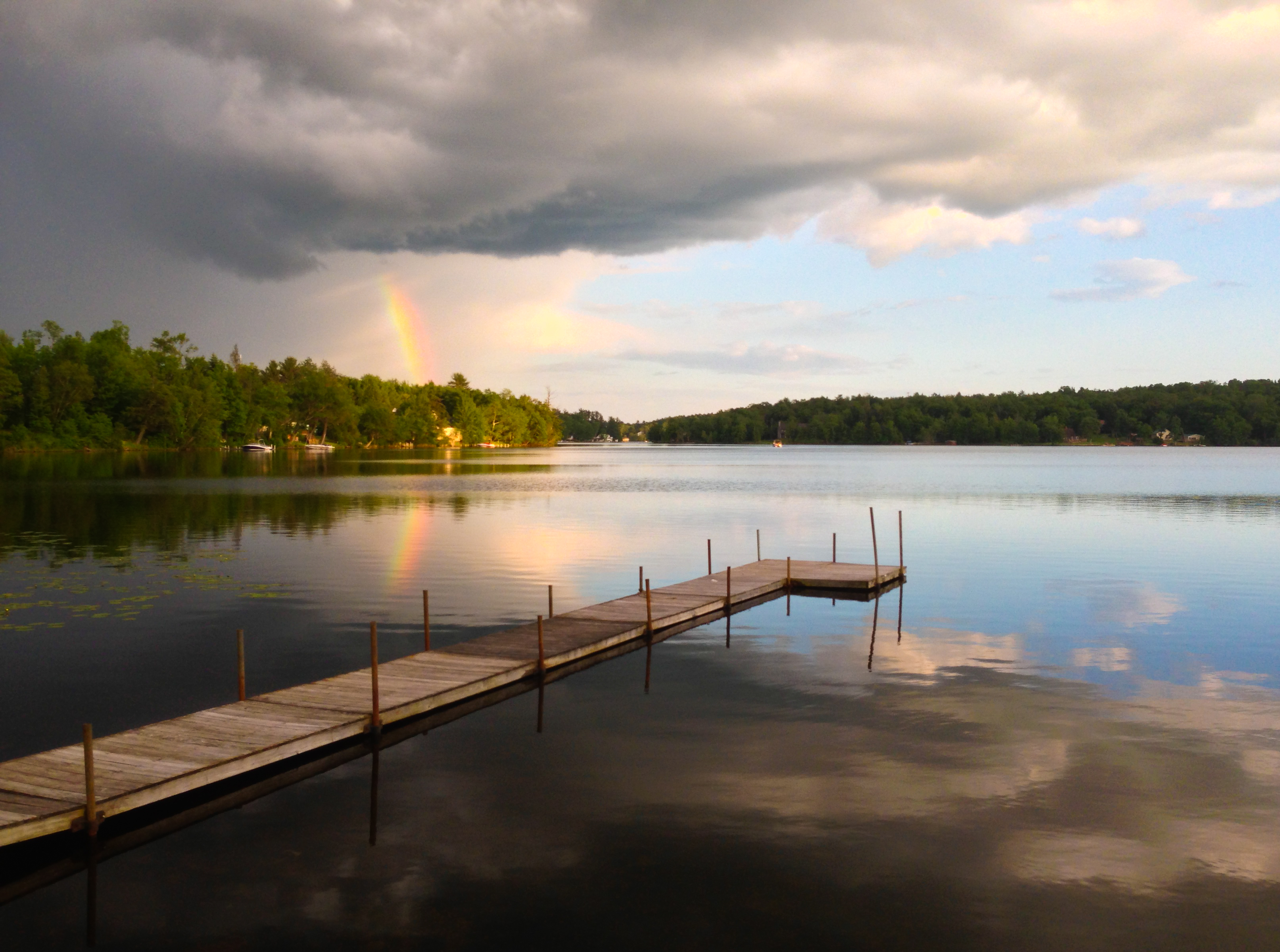
Partial Rainbow Over Kauneonga Lake

Twin Pond Reflections *Explore*
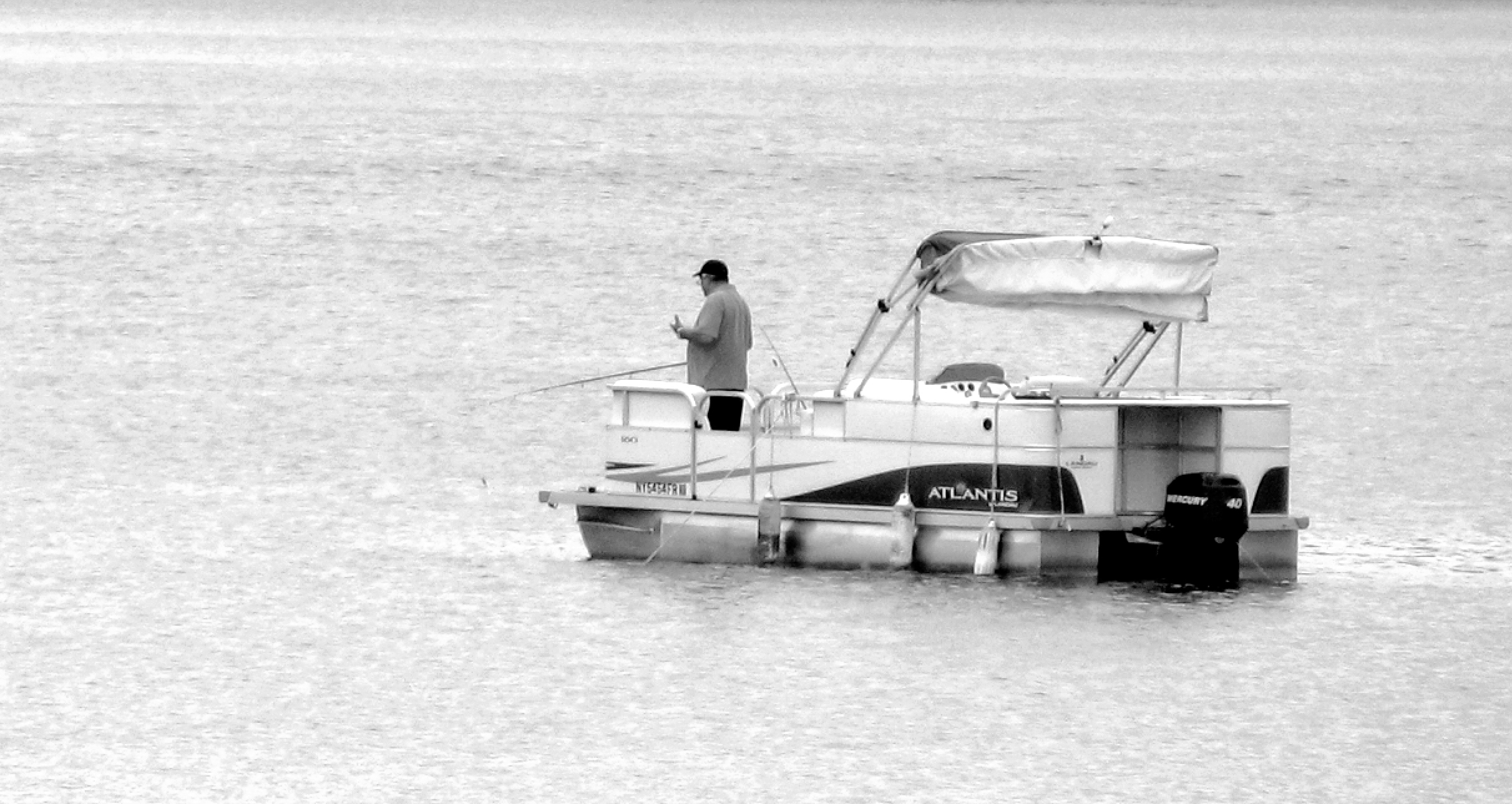
Fishing From Atlantis

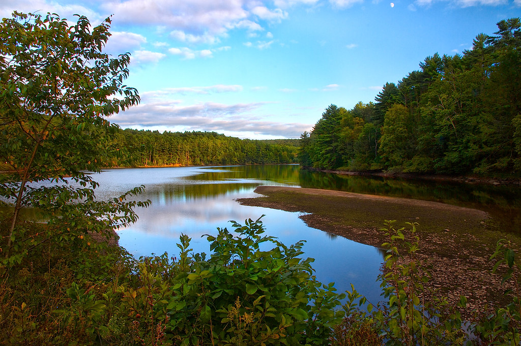
Fall Lake Scene
Moon Over Mongaup

winter's dawn
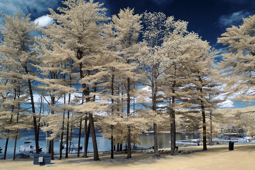
trees by the lake

Silo And Barn

View from the kitchen door

Rocking By The Lake

View from the deck

Bam, fisheye view.

Moonlight on the Delaware

View from the deck

View of Lackawaxen, PA from Minisink Ford, NY; Roebling aqueduct.

View west from Roebling Bridge

View of the New York side
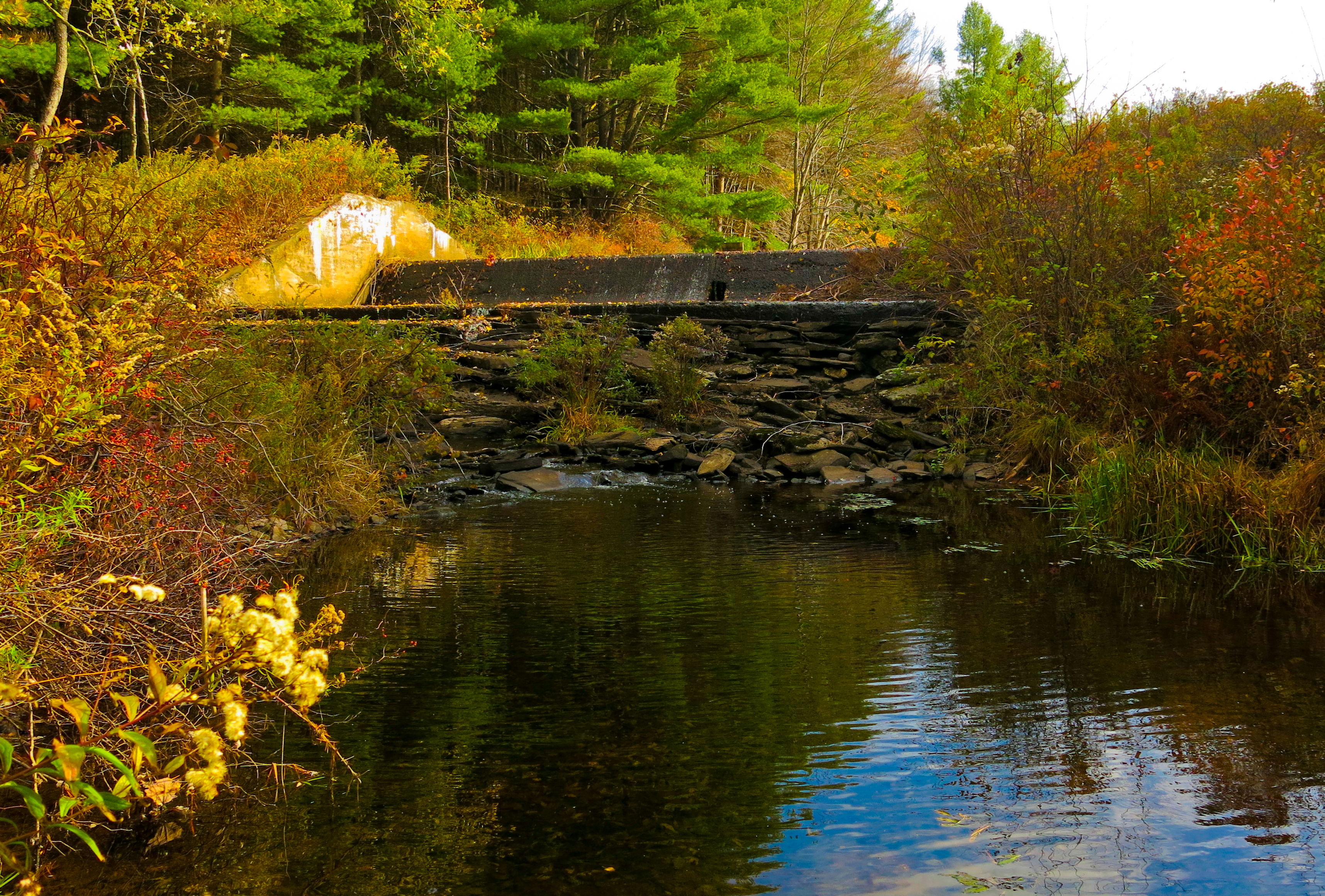
Lake Kabau Dam
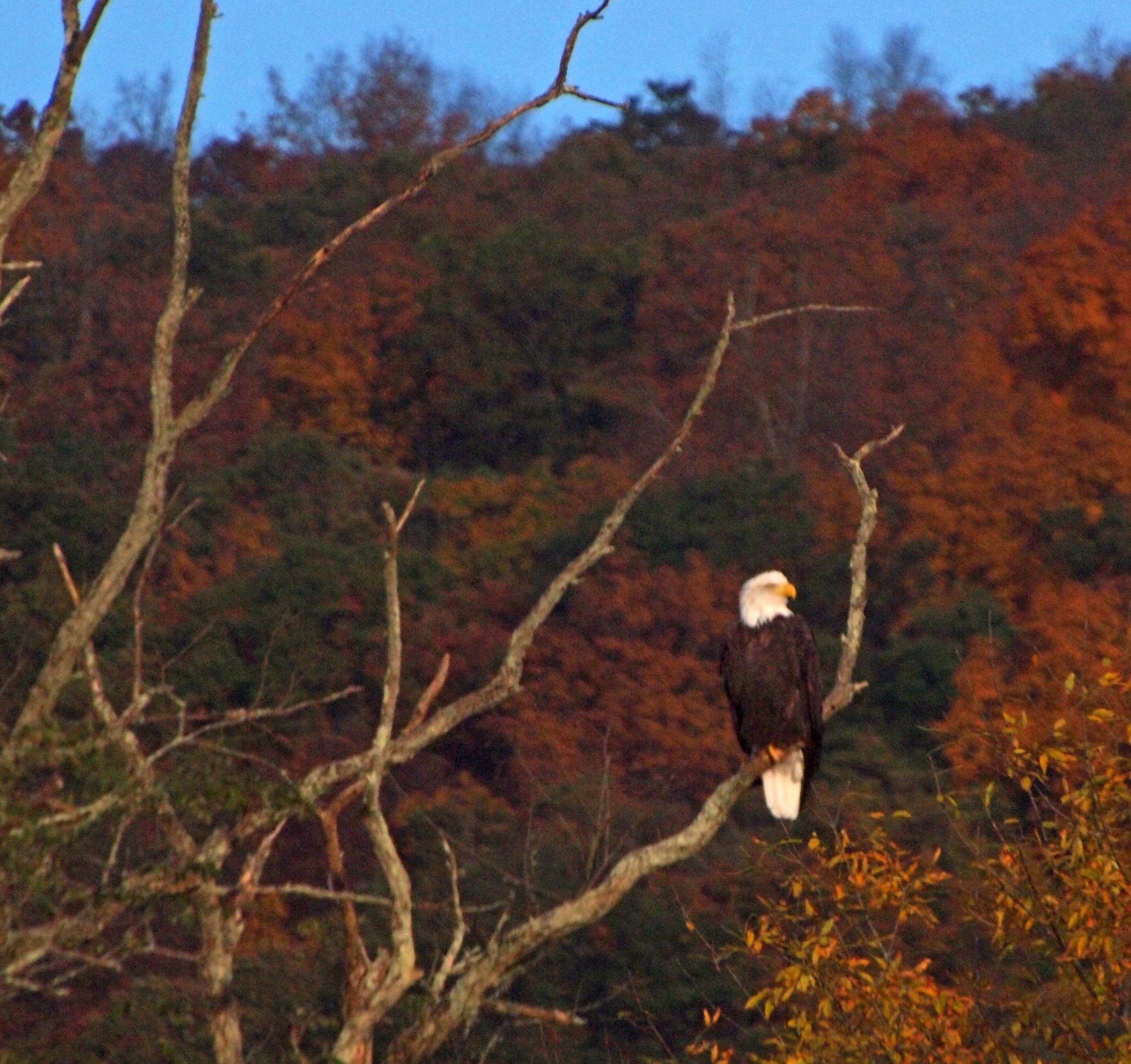
The eagle in his usual place

View west from the deck, sunset

Bethel, Woodstock NY

No Music - No Crowd - No Rain

Delaware River at Narrowsburg.

DSCF9328.jpg
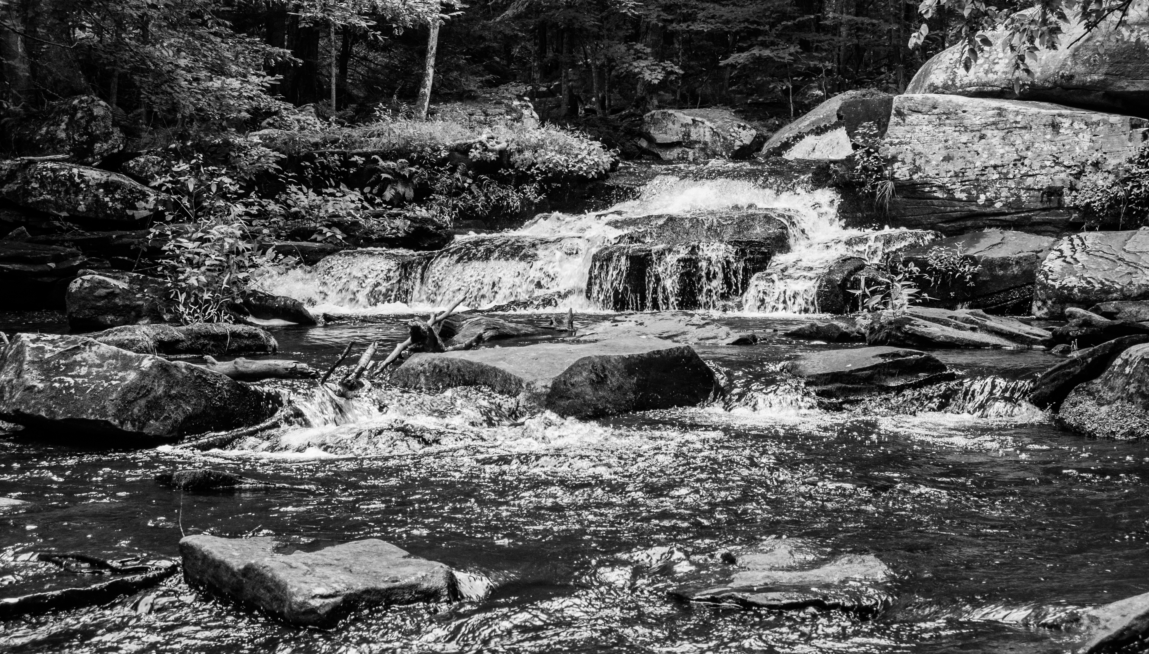
Summer Flow In Minnie Falls

Where the Ten Mile River meets the Delaware

Docked On Kauneonga Lake

View from Roebling Bridge

My office view for today!!!

View east from the deck, sunset

View upstream, Ten Mile River

Please Sit Somewhere Else

Minute to Breathe

Looking Down An Icy River

7/25/13 Brthel Woods

Flowing Free On A Summer Day

a pond at night on September 2, 2012
Topographic Map of Blind Pond Rd, Narrowsburg, NY, USA
Find elevation by address:

Places near Blind Pond Rd, Narrowsburg, NY, USA:
Blind Pond Road
Blind Pond Road
Blind Pond Road
Blind Pond Road
730 Beaver Brook Rd
52 Blind Pond Rd
283 Beaver Brook Rd
8 Melanie Ln
Highland
Airport Rd, Eldred, NY, USA
Yulan, NY, USA
454 Pucky Huddle Rd
Eldred
Tusten
20 Kern Rd
5 Grassy Swamp Rd
12 Harder Rd
155 Mail Rd
155 Mail Rd
155 Mail Rd
Recent Searches:
- Elevation of Beall Road, Beall Rd, Florida, USA
- Elevation of Leguwa, Nepal
- Elevation of County Rd, Enterprise, AL, USA
- Elevation of Kolchuginsky District, Vladimir Oblast, Russia
- Elevation of Shustino, Vladimir Oblast, Russia
- Elevation of Lampiasi St, Sarasota, FL, USA
- Elevation of Elwyn Dr, Roanoke Rapids, NC, USA
- Elevation of Congressional Dr, Stevensville, MD, USA
- Elevation of Bellview Rd, McLean, VA, USA
- Elevation of Stage Island Rd, Chatham, MA, USA