Elevation of Mail Rd, Barryville, NY, USA
Location: United States > New York > Sullivan County > Highland > Barryville >
Longitude: -74.914452
Latitude: 41.4991504
Elevation: 363m / 1191feet
Barometric Pressure: 97KPa
Elevation Map:
Satellite Map:
Related Photos:
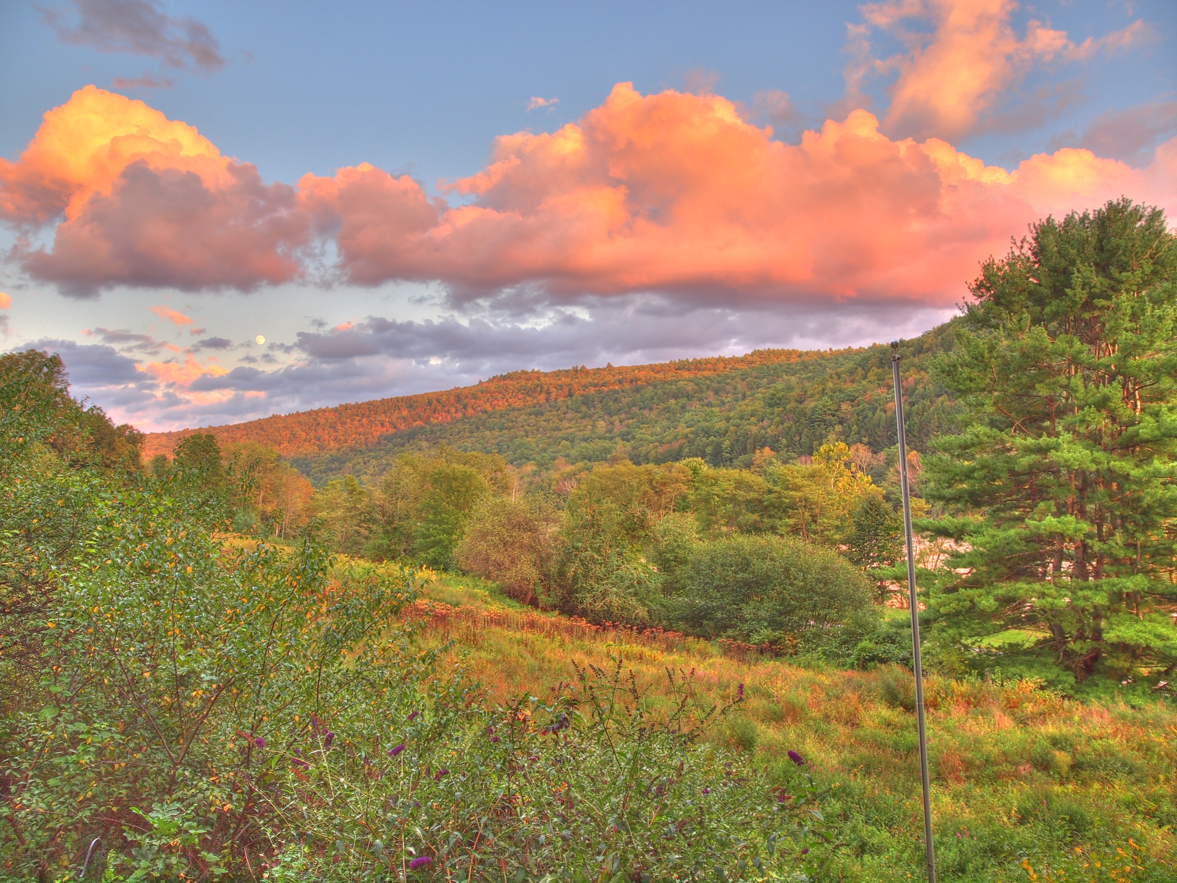
Moon Over Mongaup
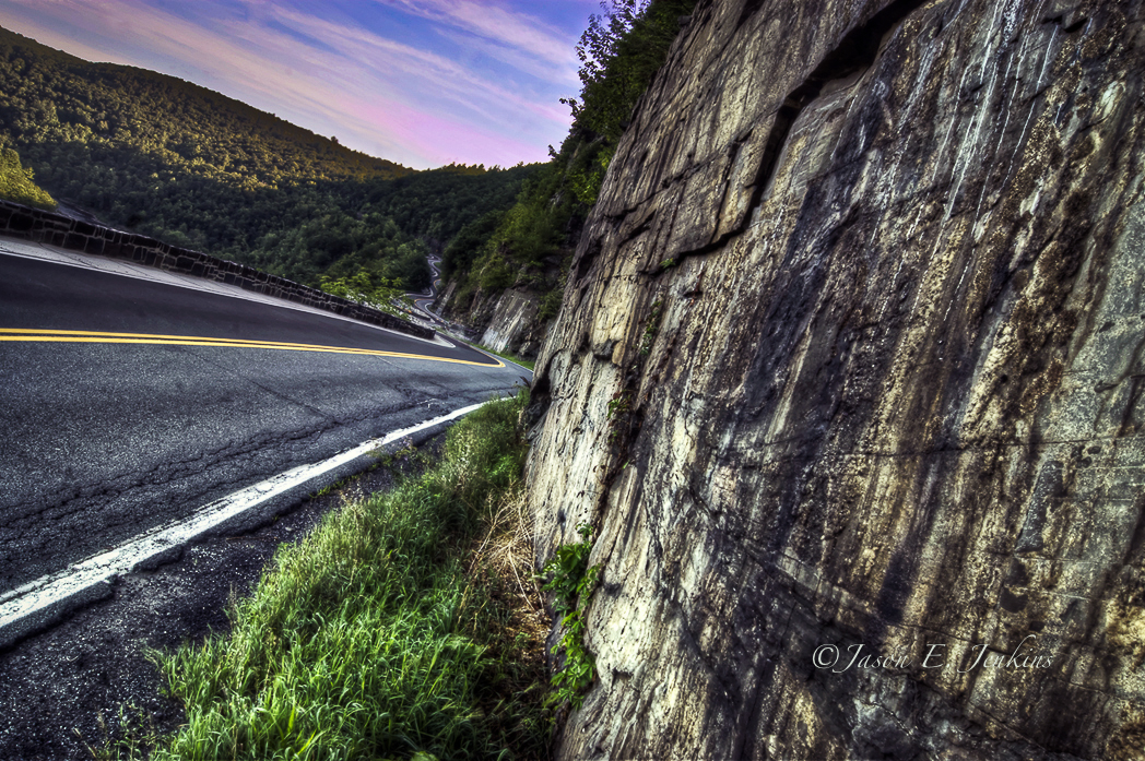
Switchbacks and S-curves

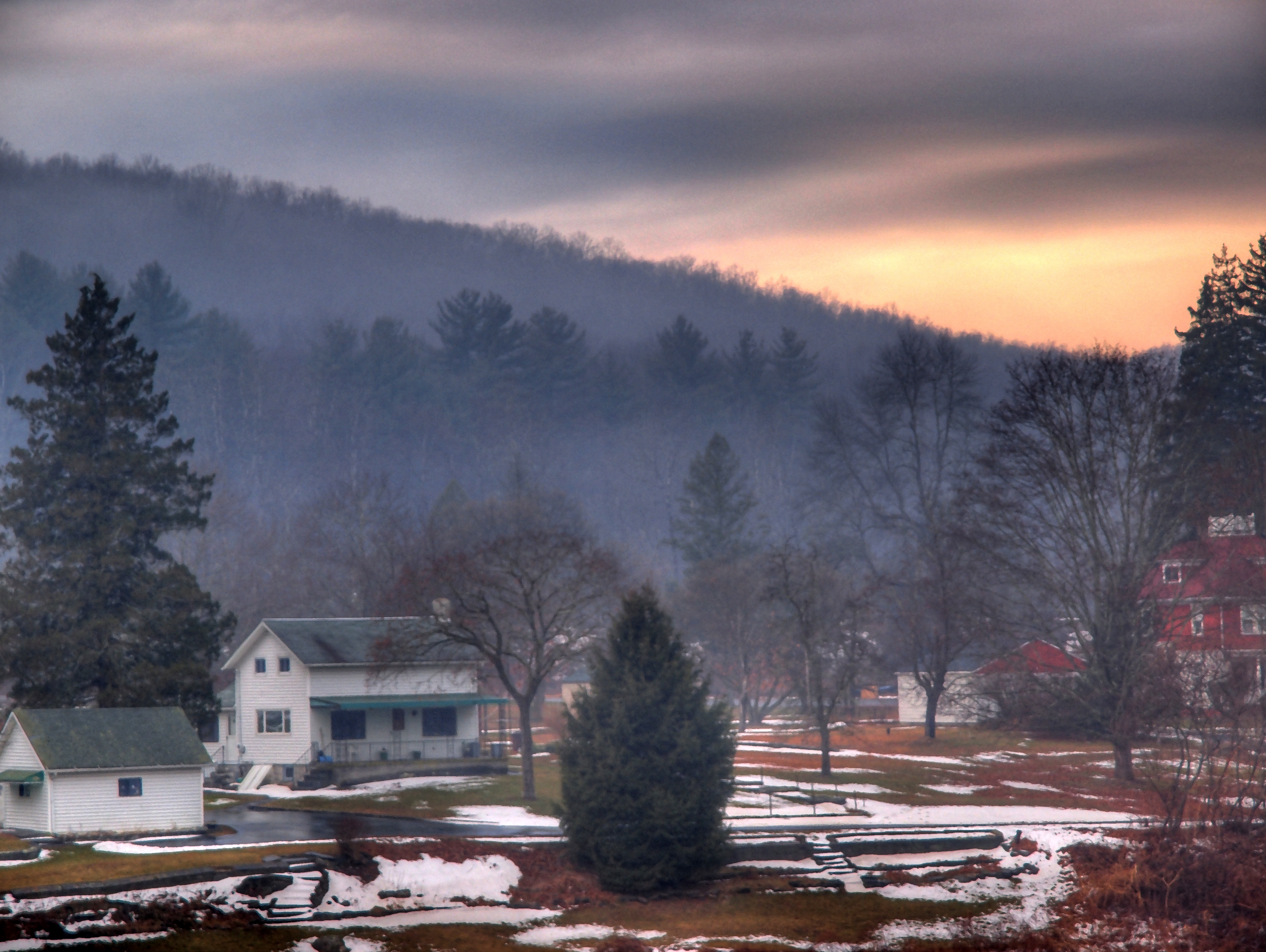
winter's dawn
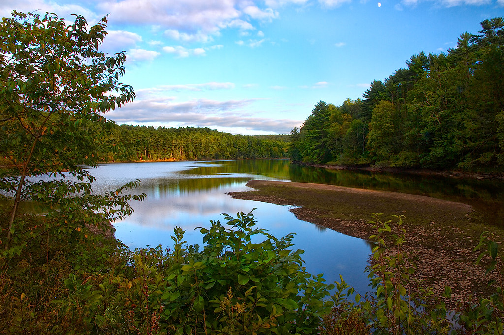
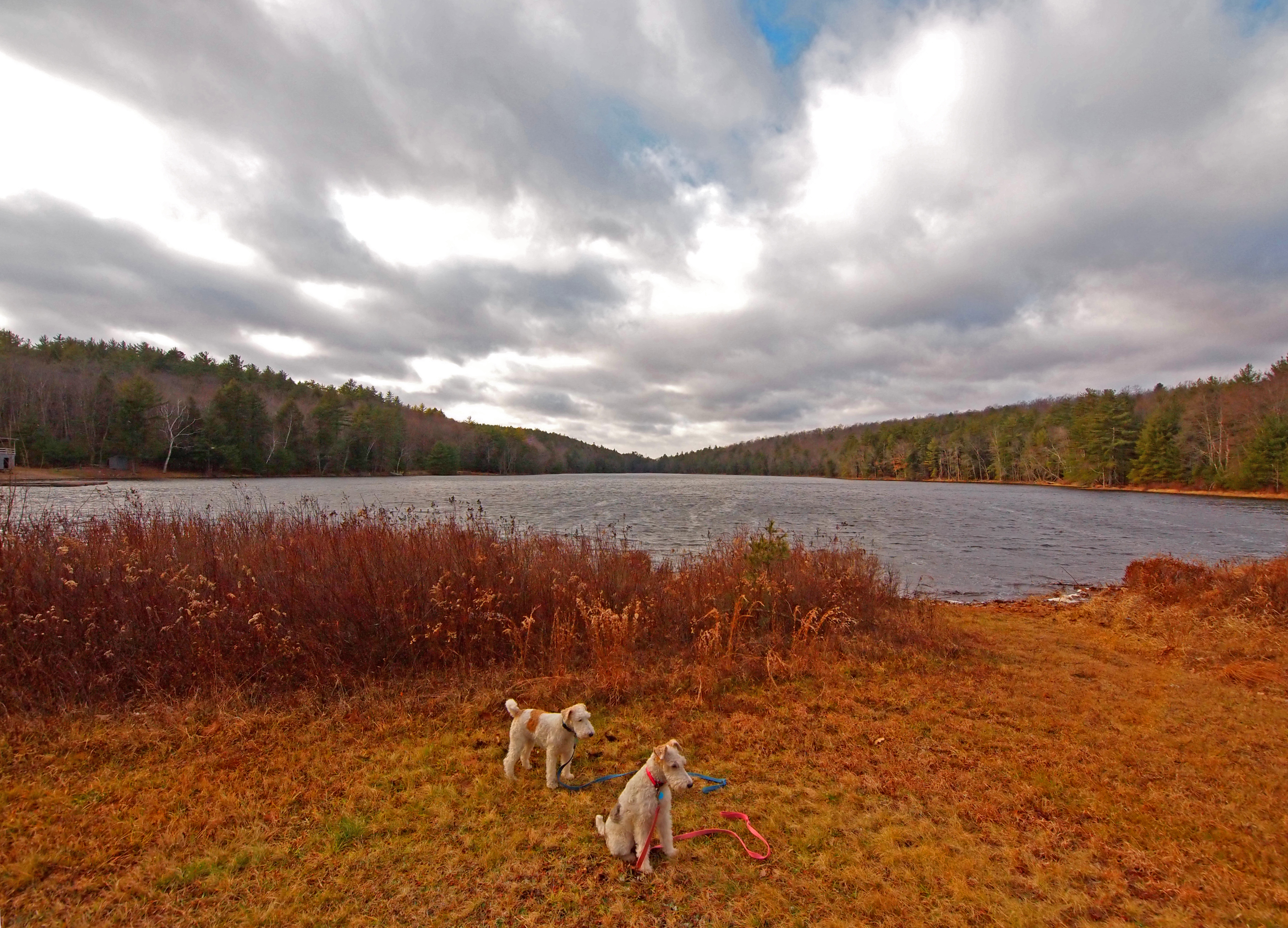
Mongaup Reservoir

Down 'n' Out

the ant perspective

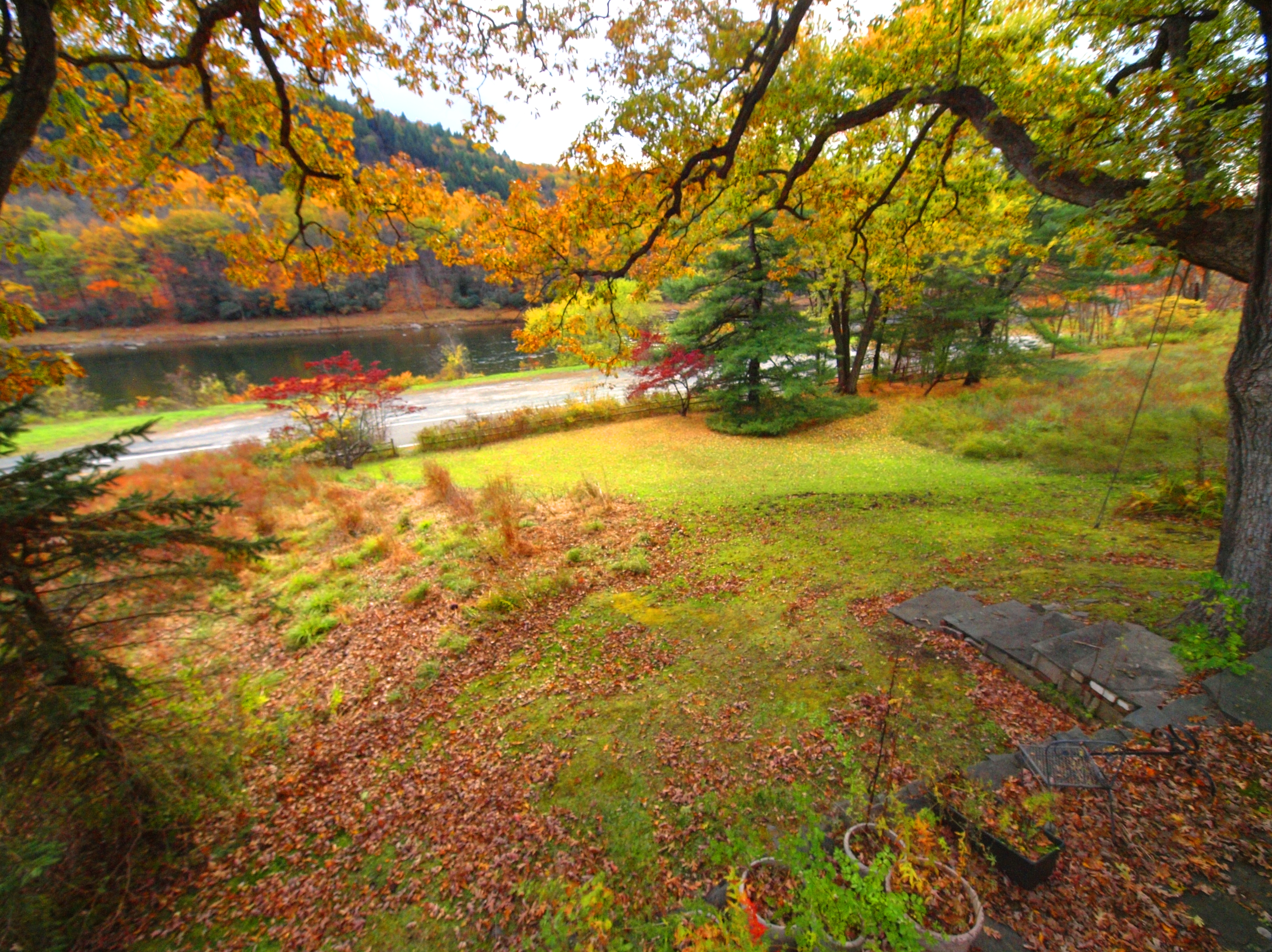
Bam, fisheye view.
View from the deck, sunset: nearly full moon and clouds over the east meadow
View from the deck
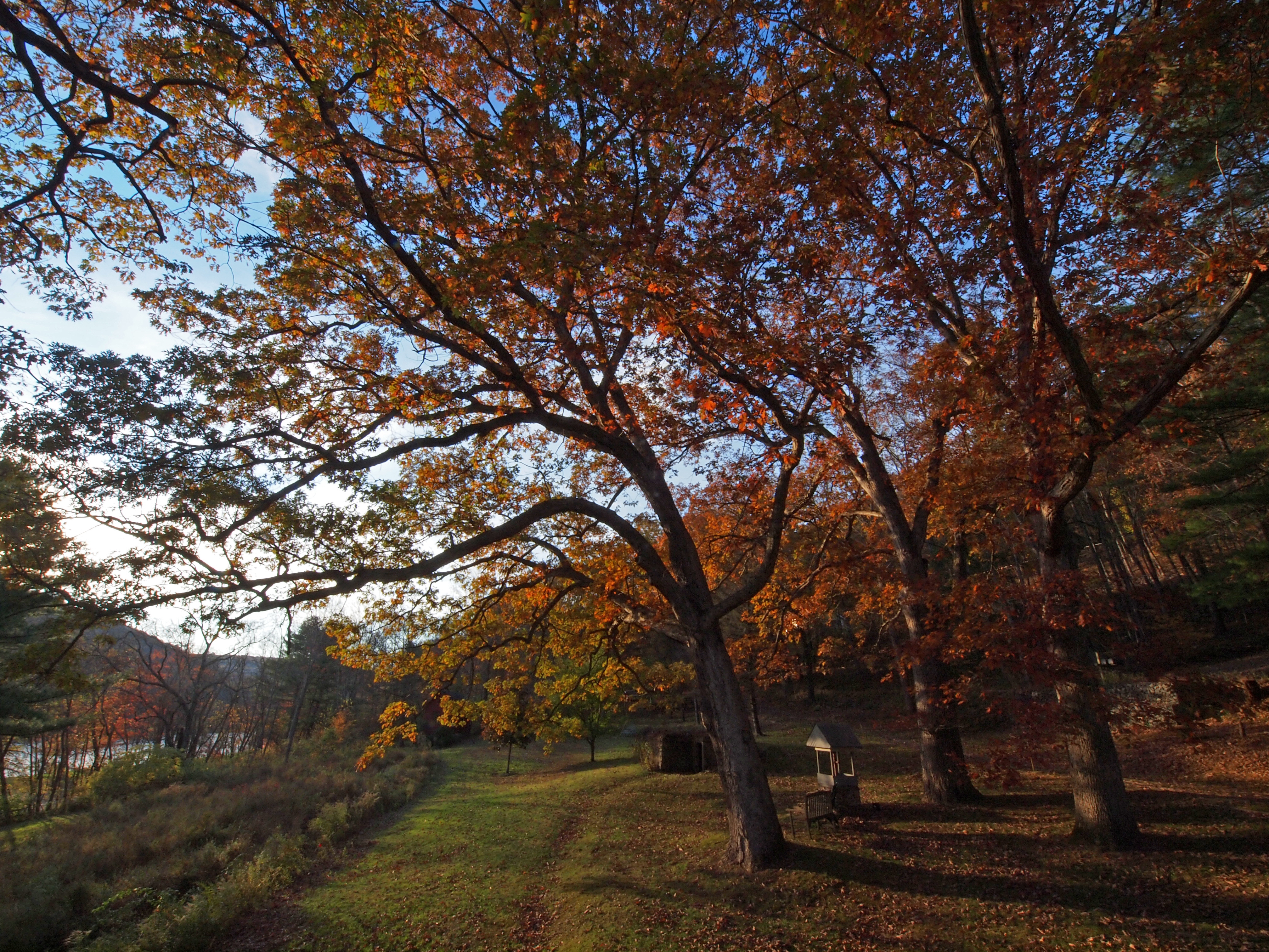
The oaks!
View from the deck
View of the New York side
View west from Roebling Bridge

View from Roebling Bridge
View from the Roebling bridge
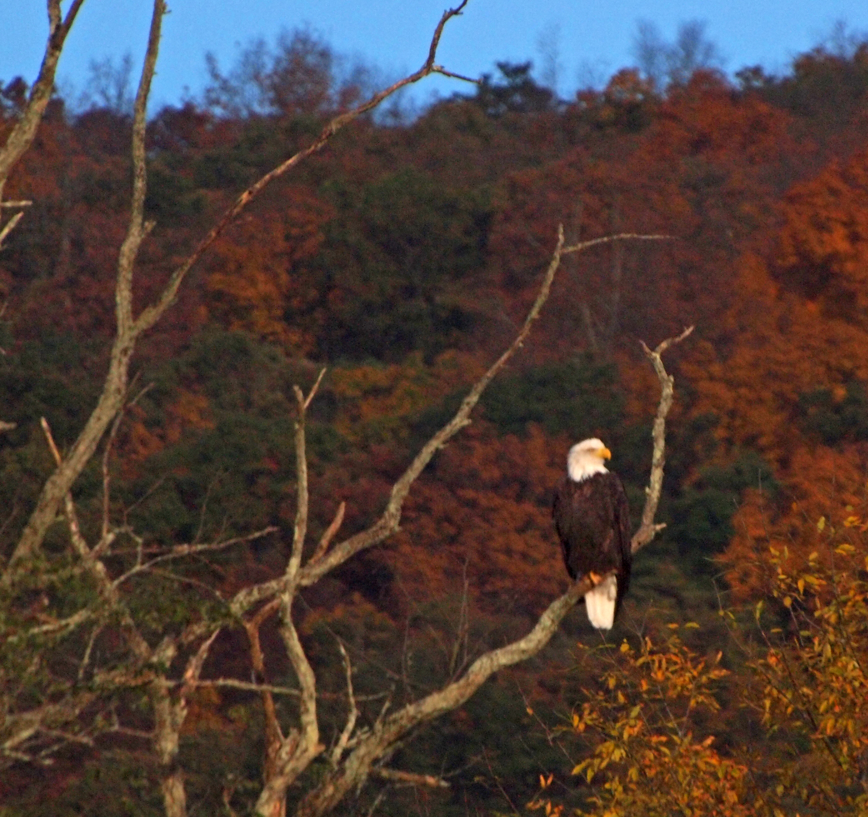
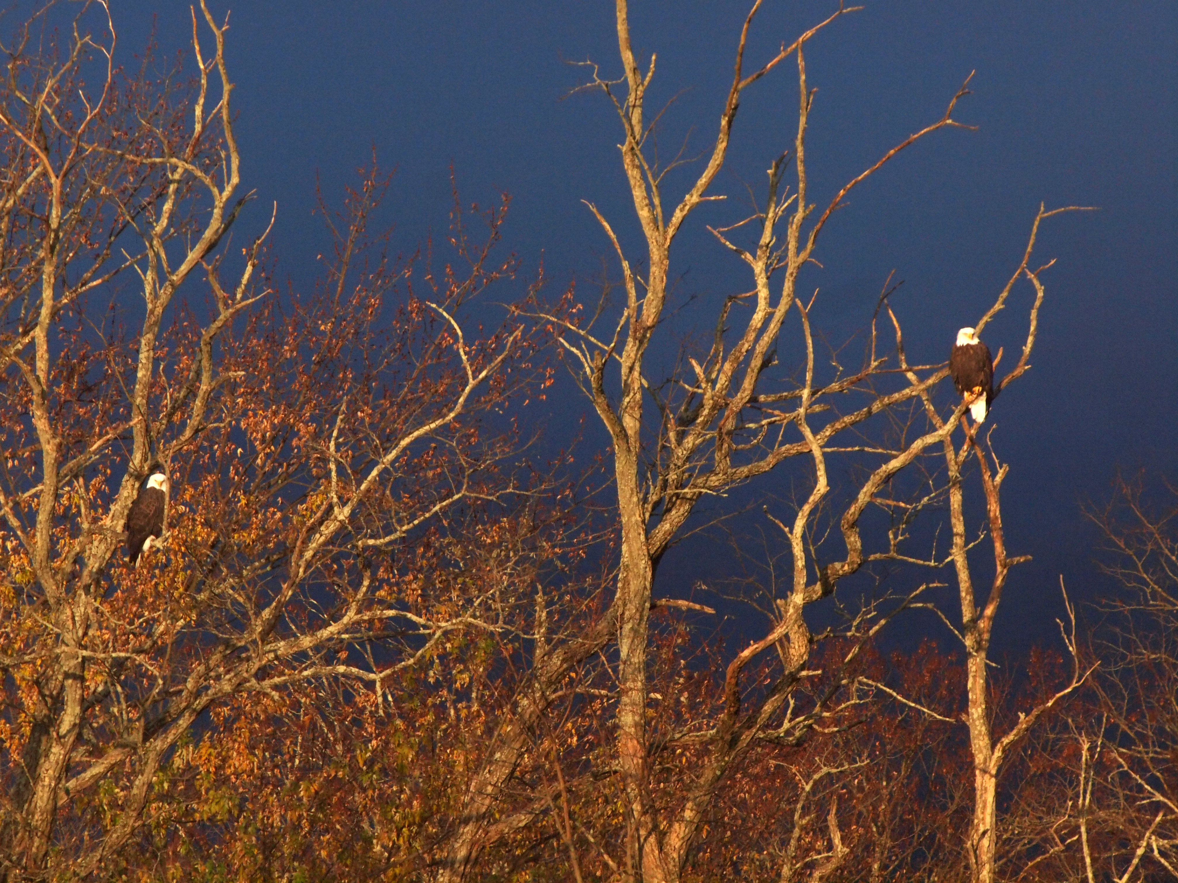
The eagle in his usual place
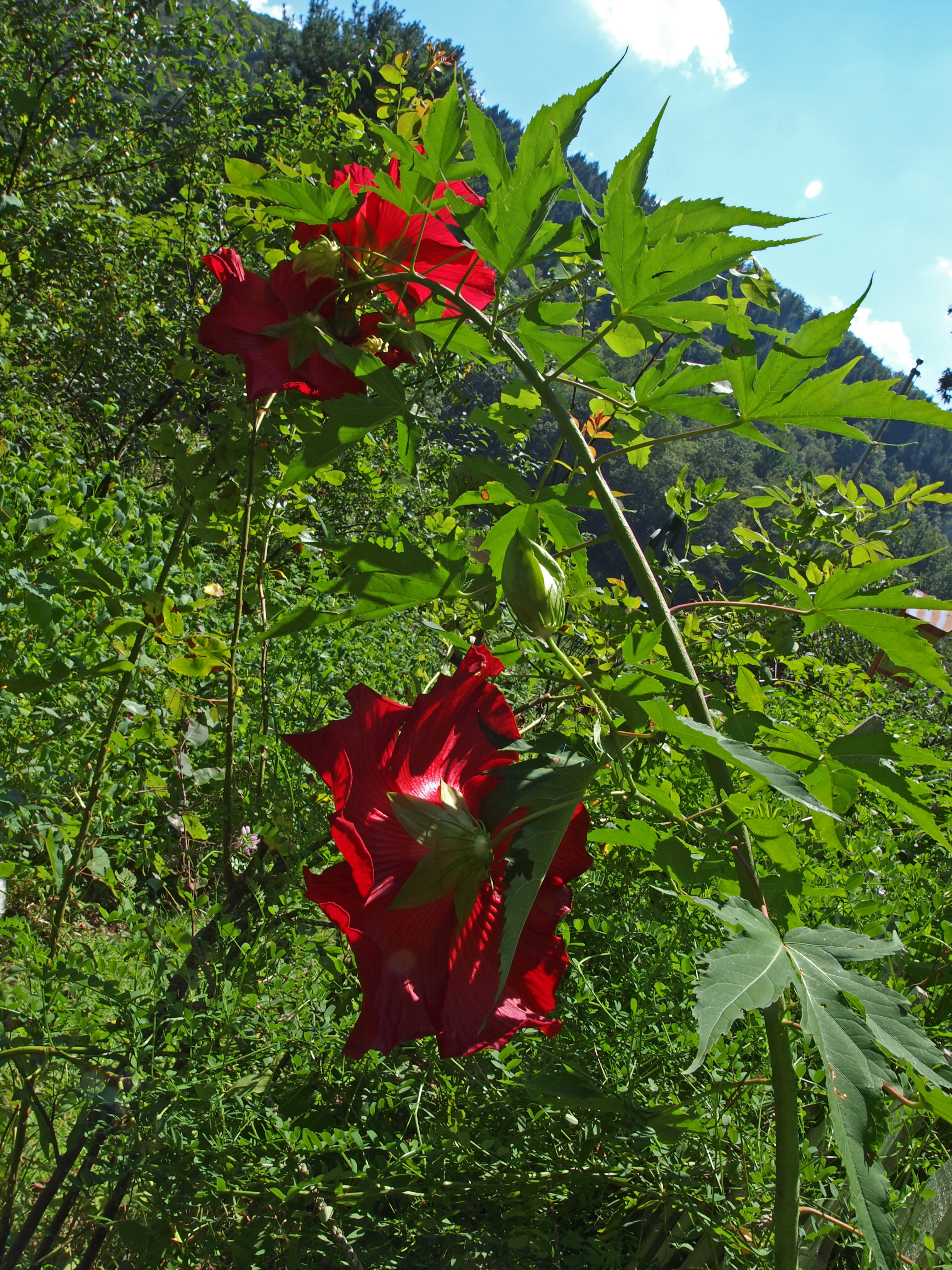
Hibiscus, rear view
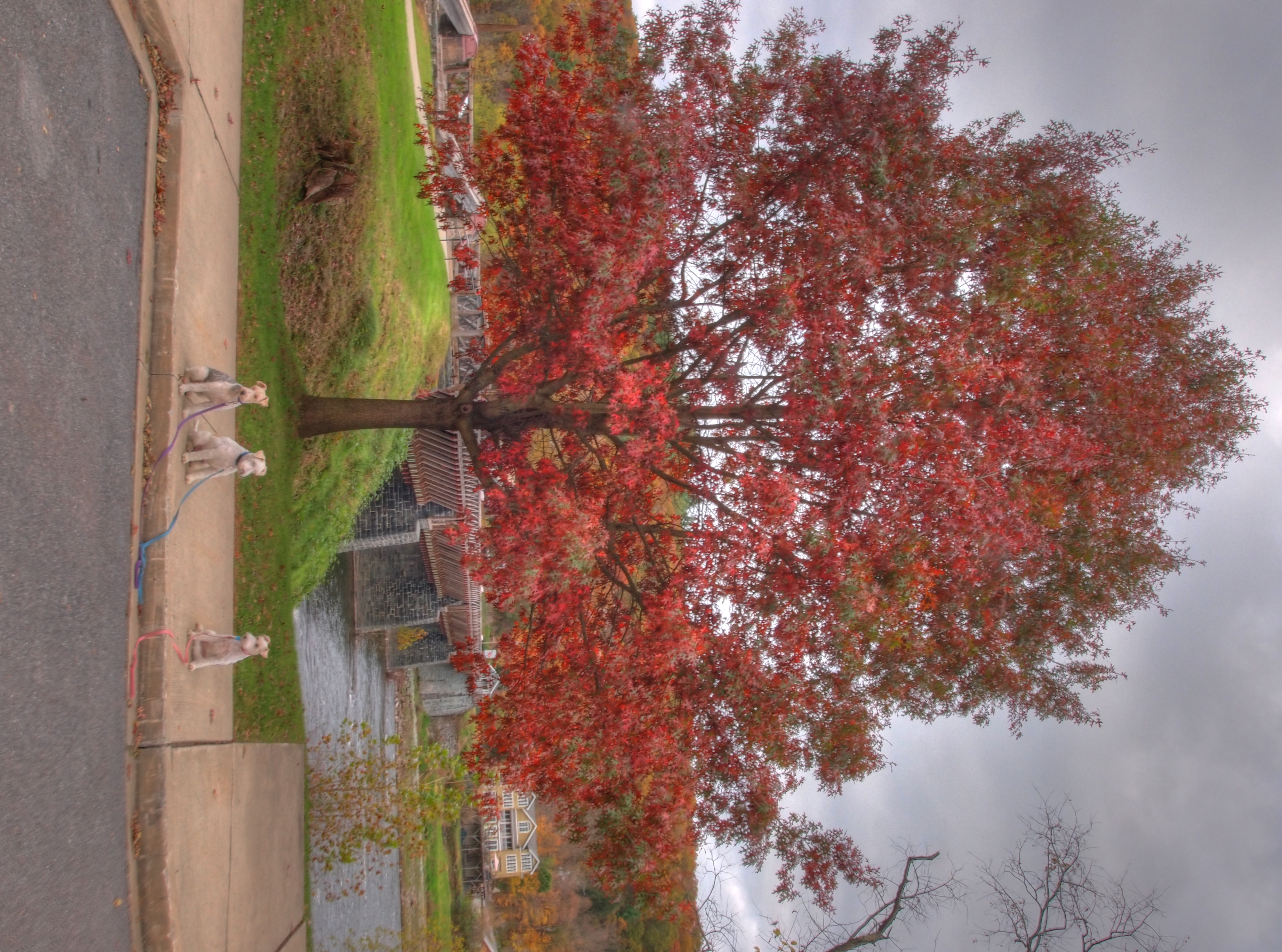
View of the Rowbling bridge (and a favorite oak)
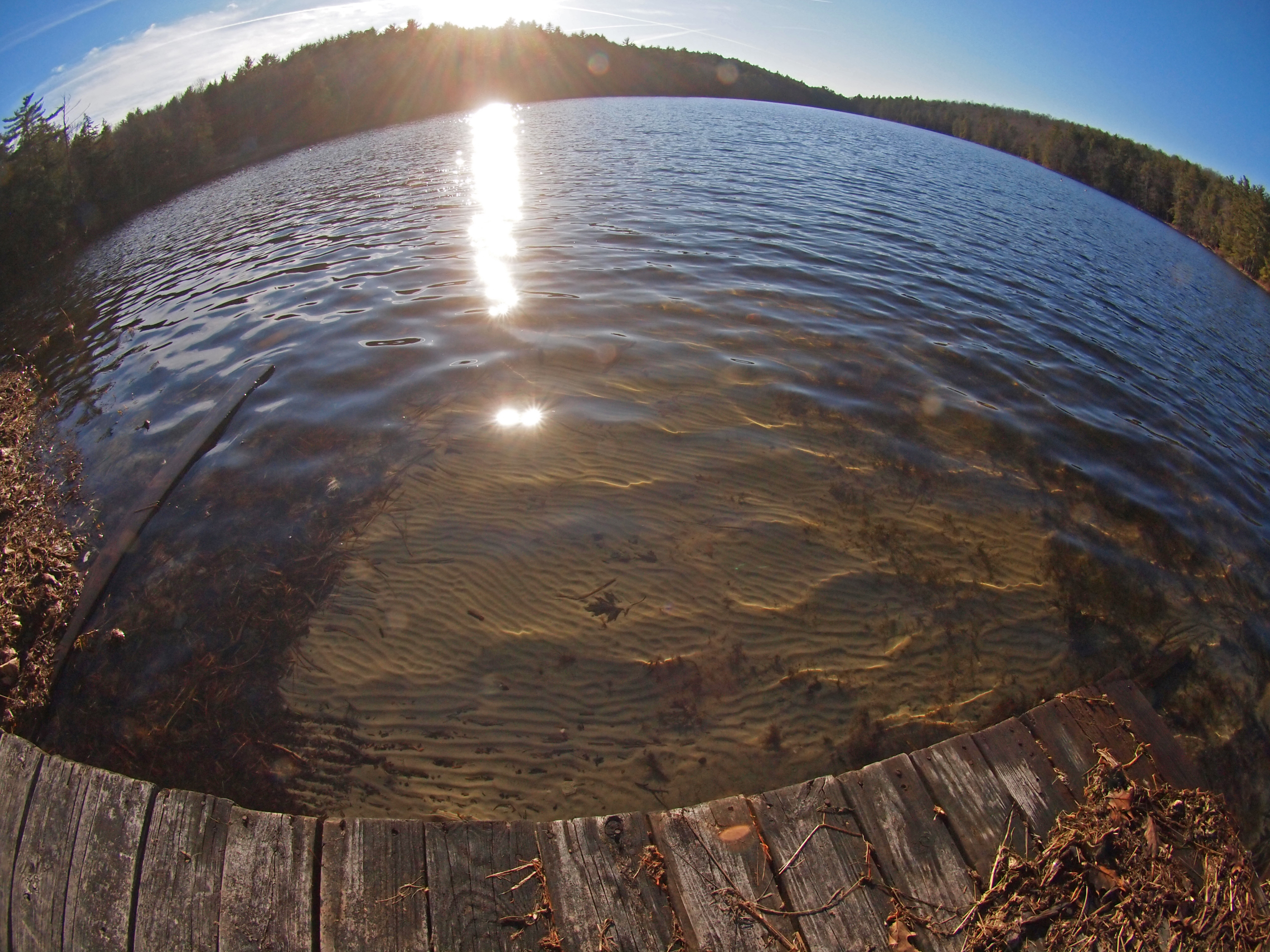
Fisheye view: the sand at the bottom of the lake.

My office view for today!!!
View from the garden

Just Breathe
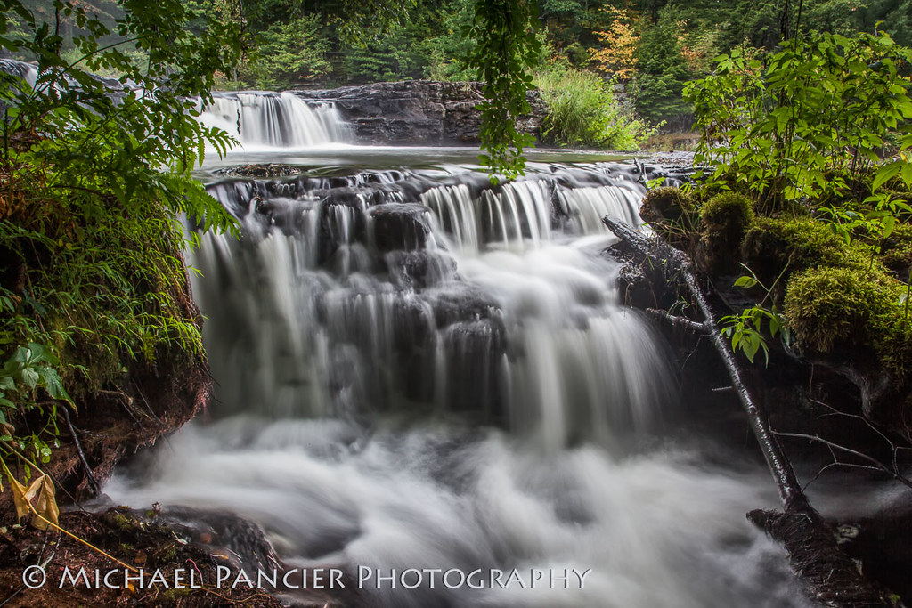
Shohola Falls

Roebling bridge
Minute to Breathe

Starry Night

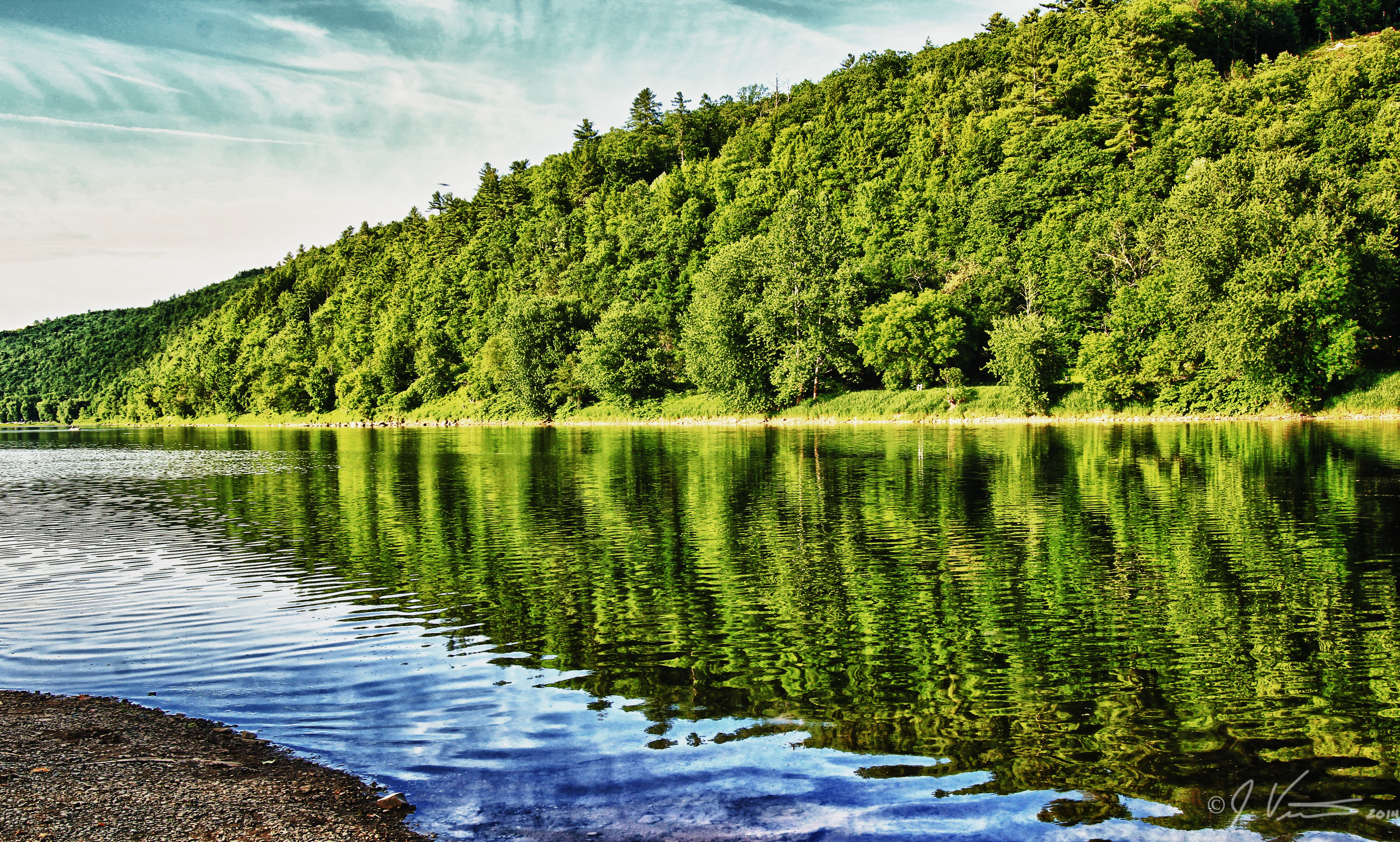
View upstream, Ten Mile River

Hawks Nest
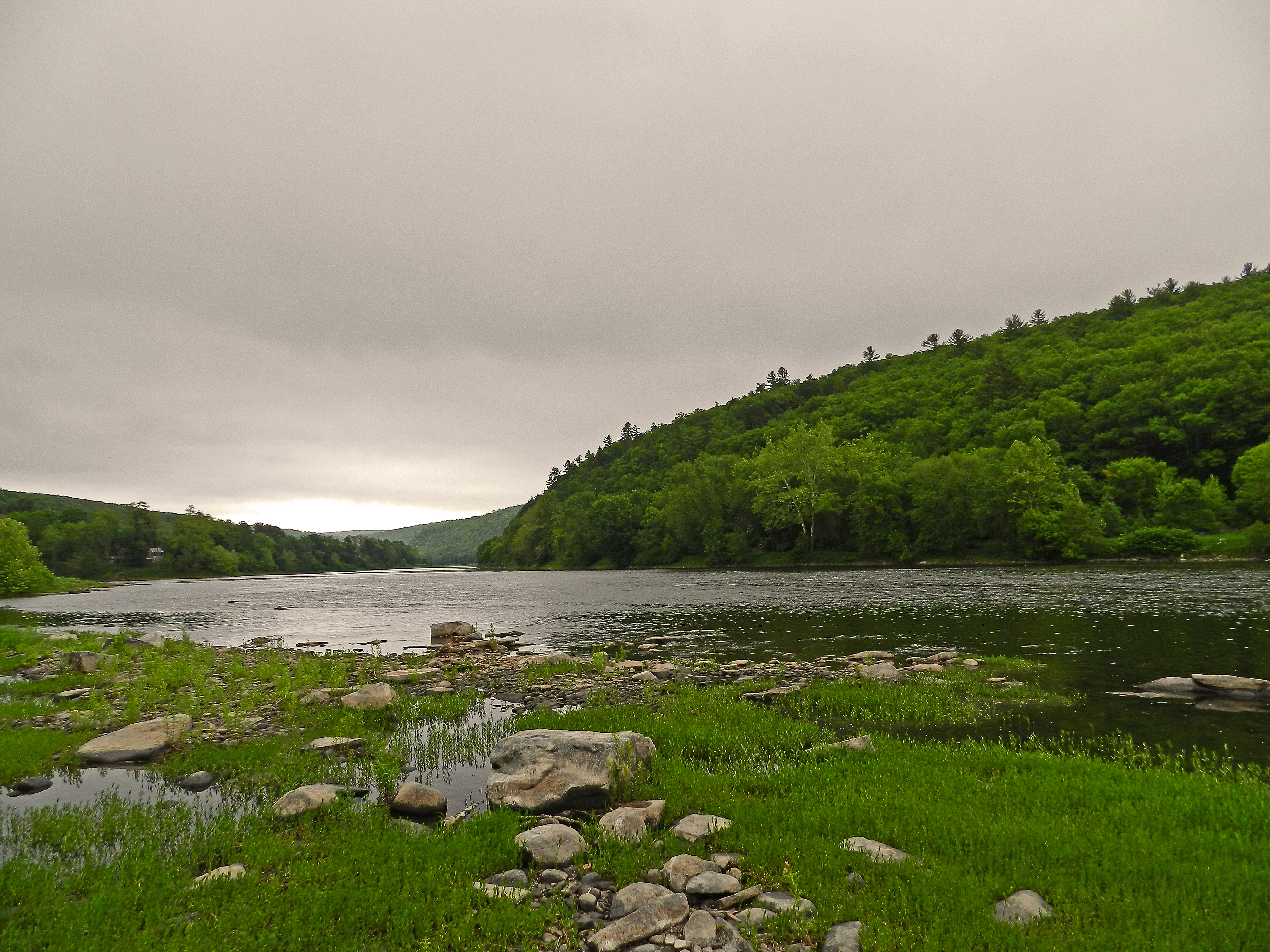
Rainy Day on the Delaware River
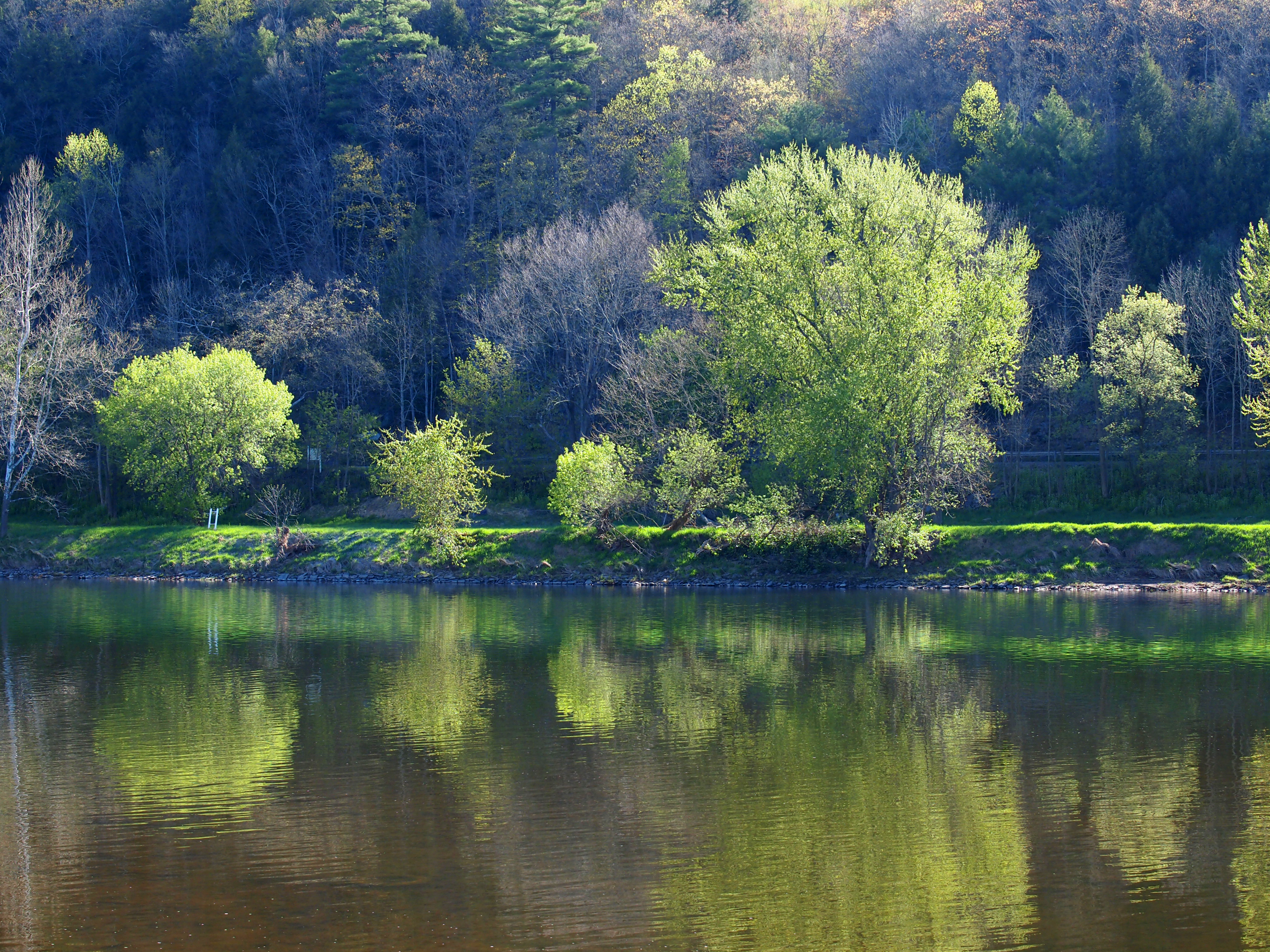
Along the Delaware
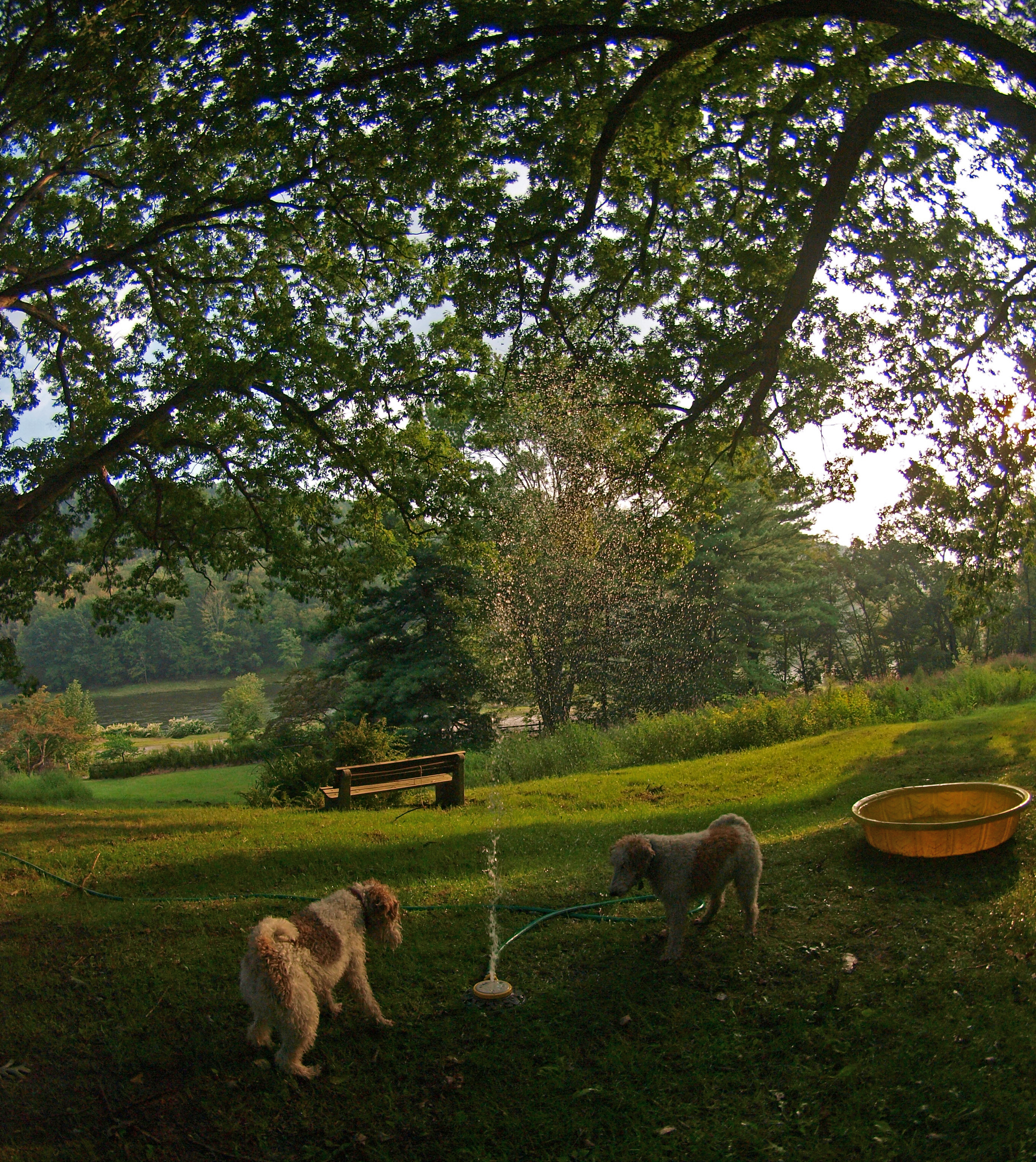
Fun on the lawn

DSCF9283.jpg
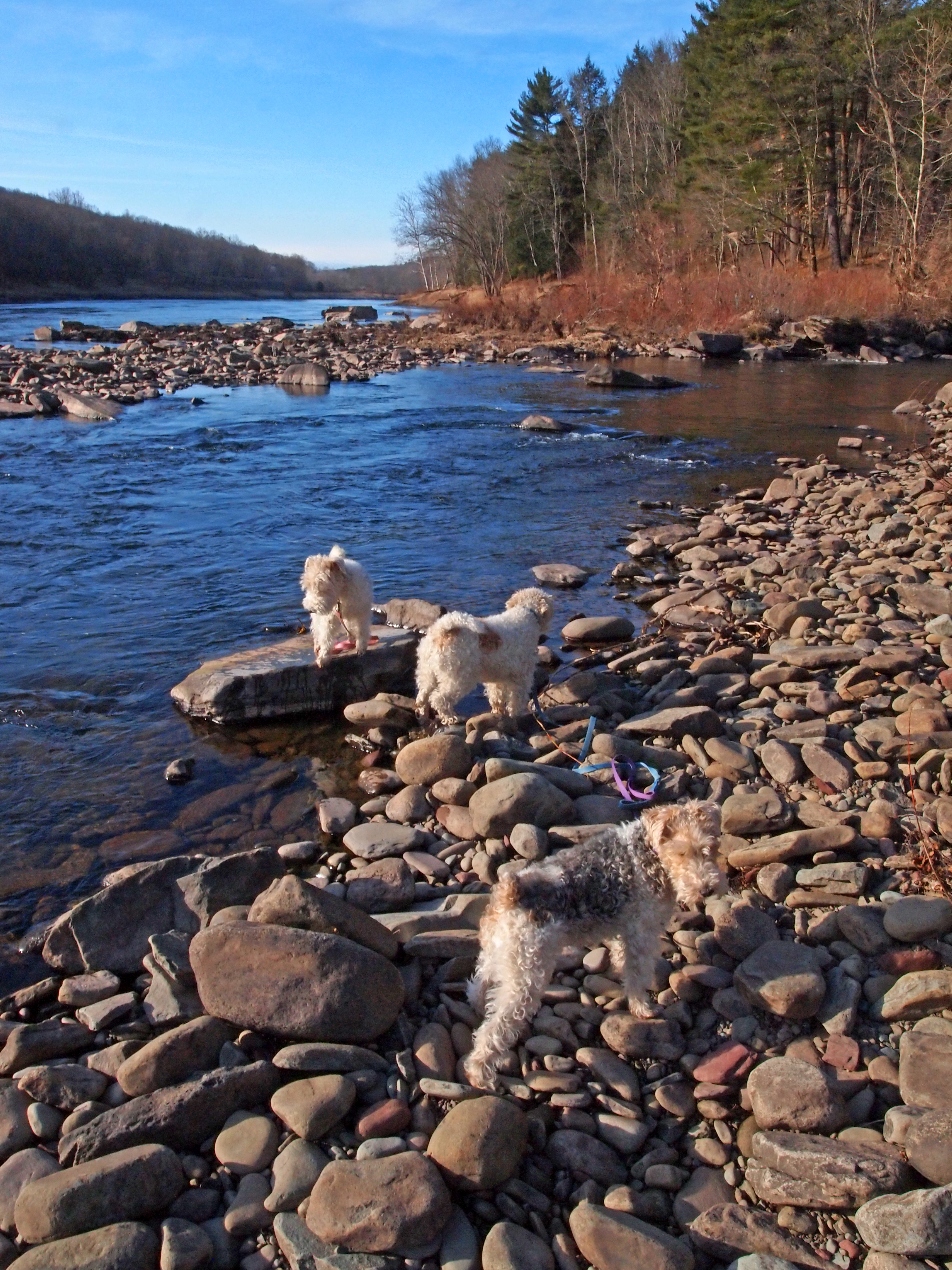
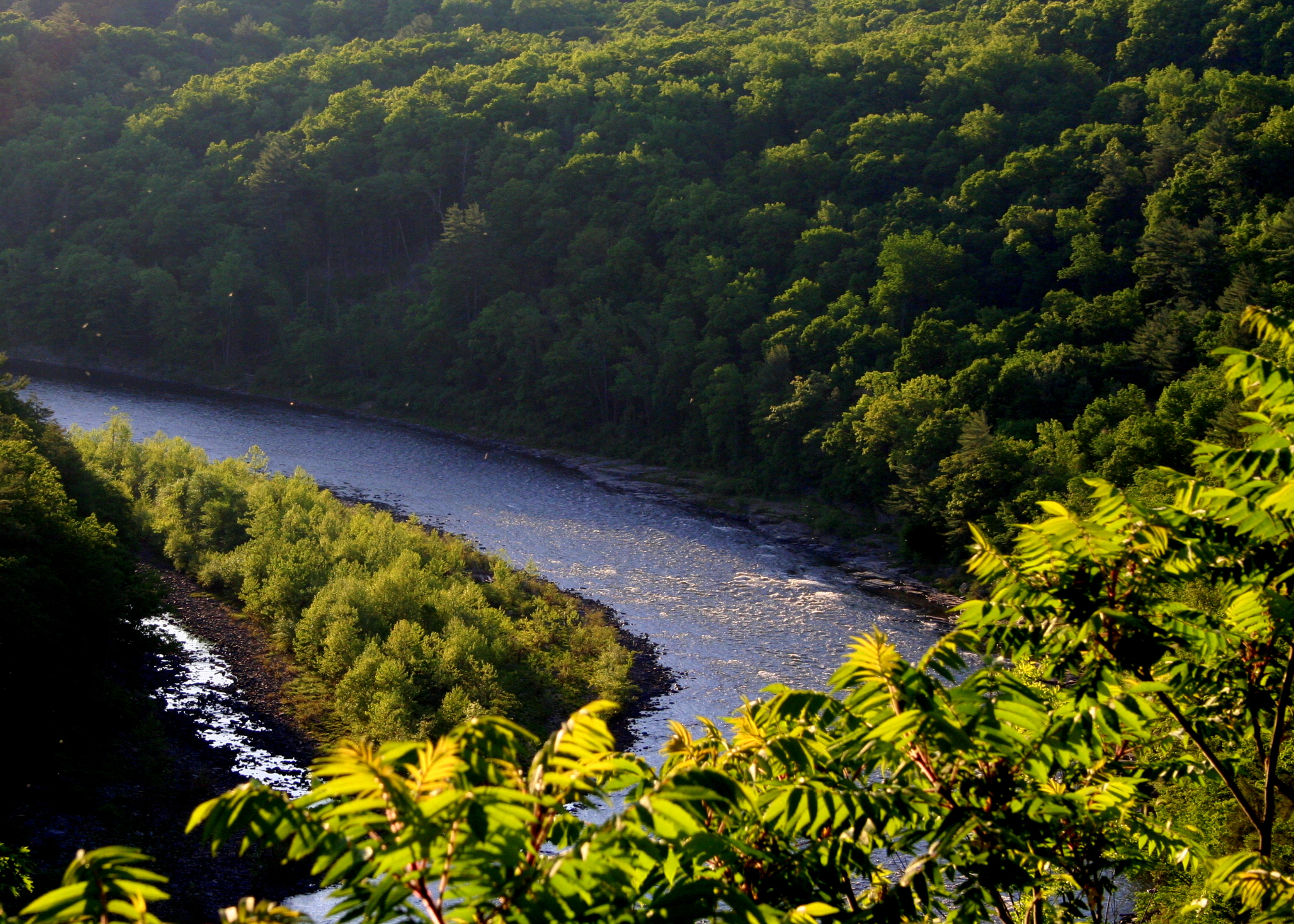
Where the Ten Mile River meets the Delaware
On the afternoon outing
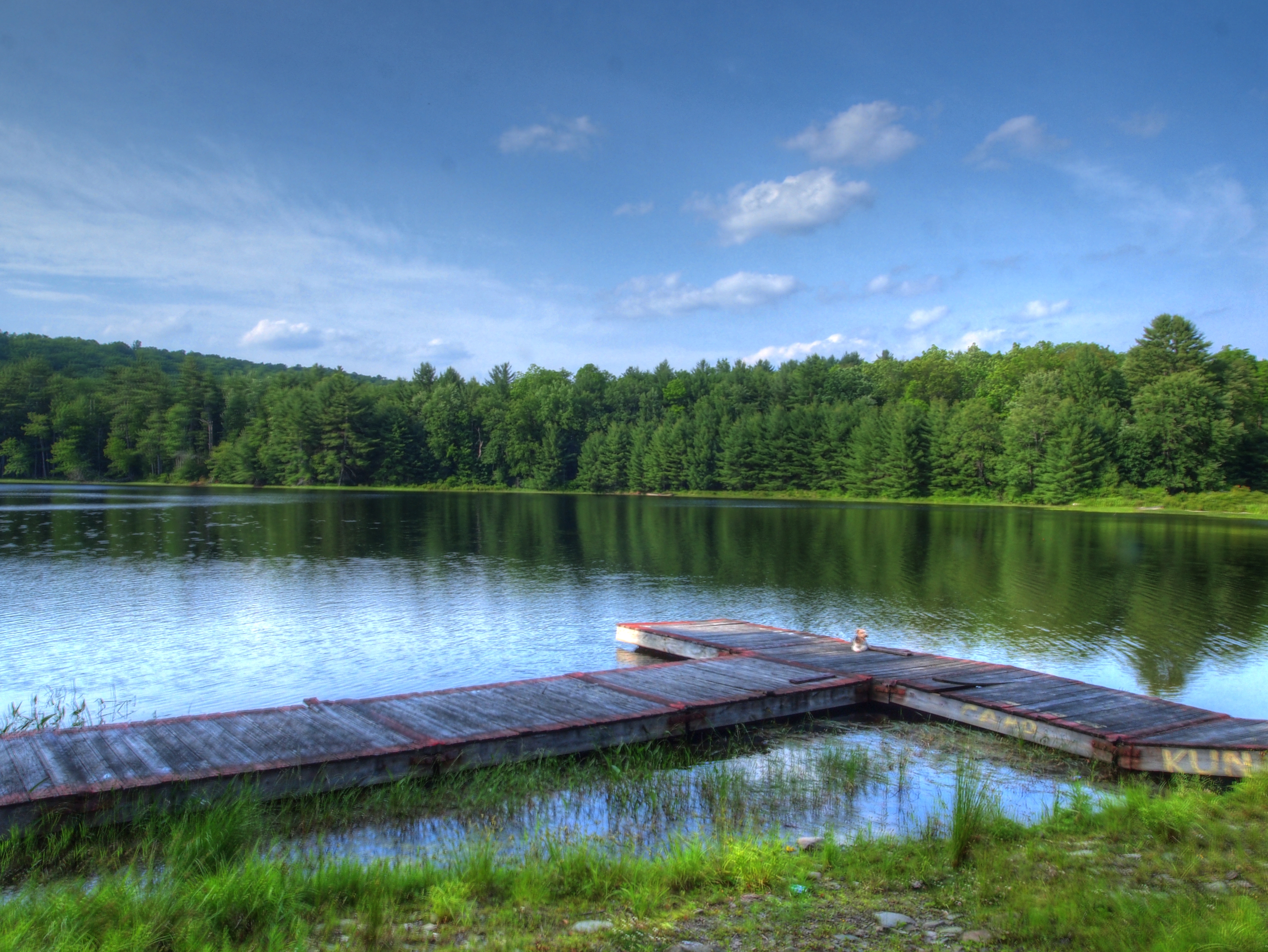
Chucho on the Camp Kunatah dock.
Topographic Map of Mail Rd, Barryville, NY, USA
Find elevation by address:

Places near Mail Rd, Barryville, NY, USA:
155 Mail Rd
155 Mail Rd
155 Mail Rd
155 Mail Rd
155 Mail Rd
155 Mail Rd
20 Kern Rd
Corkscrew Road
12 Harder Rd
Yulan, NY, USA
Airport Rd, Eldred, NY, USA
8 Melanie Ln
Highland
Eldred
26 Purple Sage Dr
York Lake
89 Purple Sage Dr
283 Beaver Brook Rd
Zane Grey Museum
730 Beaver Brook Rd
Recent Searches:
- Elevation of Vista Blvd, Sparks, NV, USA
- Elevation of 15th Ave SE, St. Petersburg, FL, USA
- Elevation of Beall Road, Beall Rd, Florida, USA
- Elevation of Leguwa, Nepal
- Elevation of County Rd, Enterprise, AL, USA
- Elevation of Kolchuginsky District, Vladimir Oblast, Russia
- Elevation of Shustino, Vladimir Oblast, Russia
- Elevation of Lampiasi St, Sarasota, FL, USA
- Elevation of Elwyn Dr, Roanoke Rapids, NC, USA
- Elevation of Congressional Dr, Stevensville, MD, USA