Elevation of 52 Blind Pond Rd, Narrowsburg, NY, USA
Location: United States > New York > Sullivan County > Tusten > Narrowsburg >
Longitude: -74.941757
Latitude: 41.5755242
Elevation: 369m / 1211feet
Barometric Pressure: 97KPa
Elevation Map:
Satellite Map:
Related Photos:

St. Volodymyr's Ukrainian Catholic Church 3

Twin Pond Reflections *Explore*

Representatives For Woodstock

Kitchen window. Delaware River view. Amaryllis.

View from the deck

View from the deck

View from the kitchen door

View of the west meadow (and our house) from our neighbor Doug's driveway

watch your step
Moon Over Mongaup

St. Volodymyr's Ukrainian Catholic Church 4

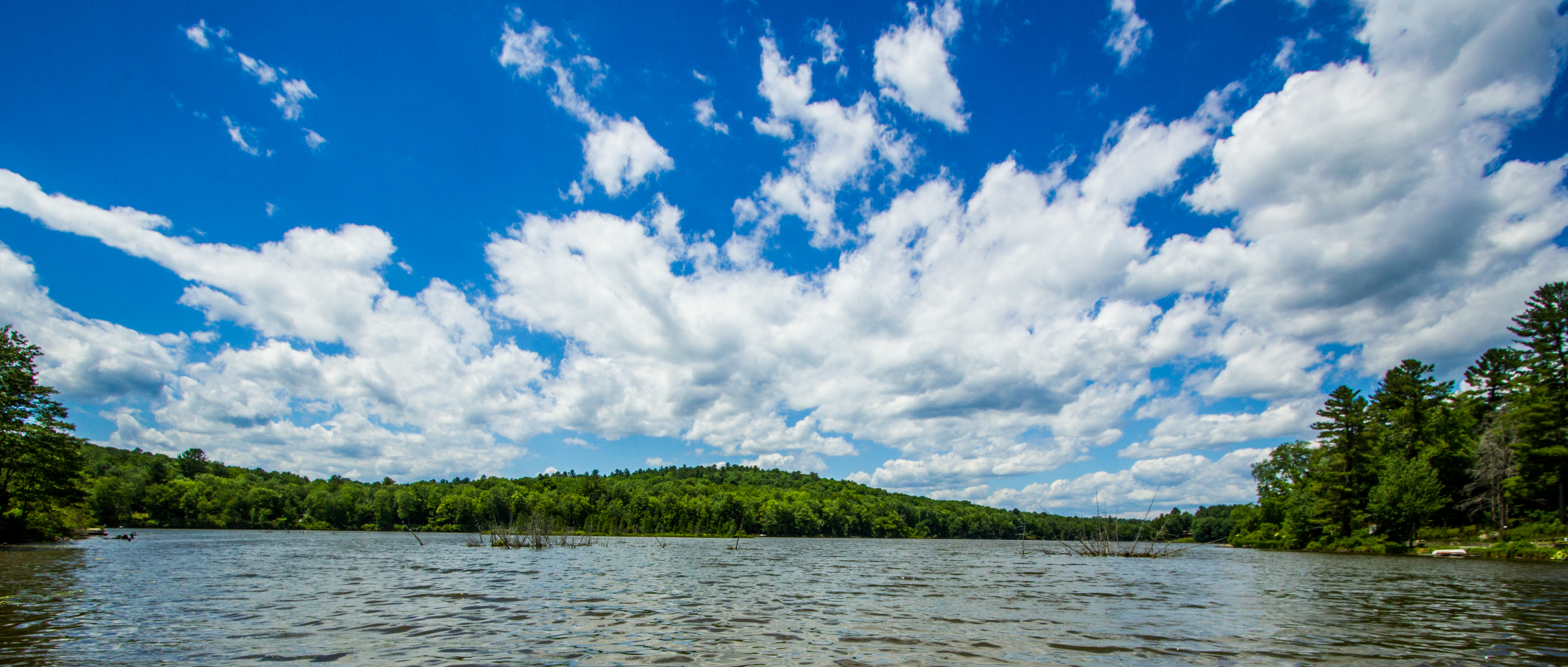
Rocking By The Lake
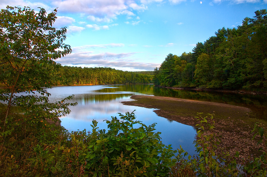
trees by the lake

the ant perspective

5mph Wake
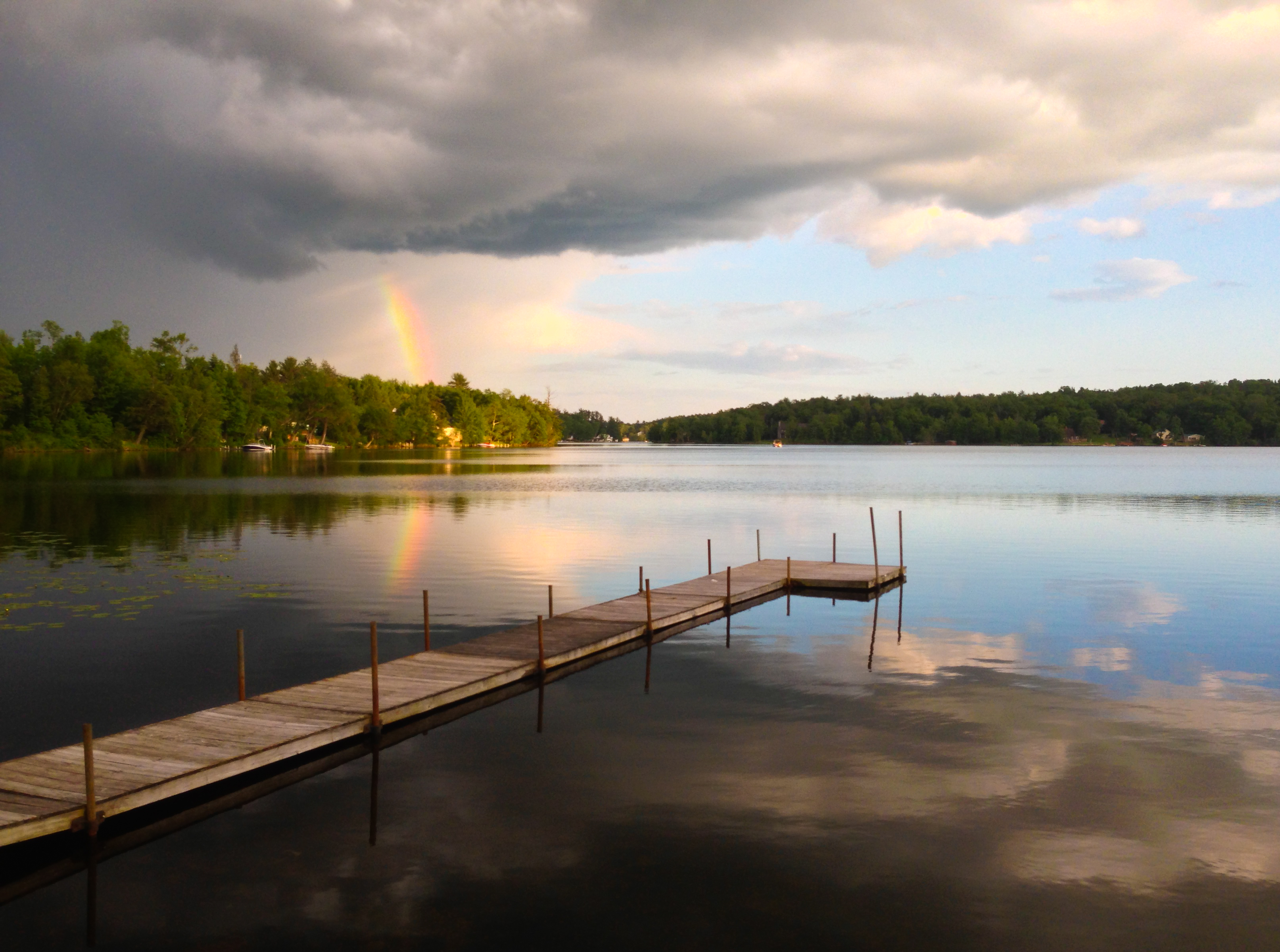
Partial Rainbow Over Kauneonga Lake

Foggy River

green bridge
View from the deck, sunset

winter's dawn

Silo And Barn

Flowing Free On A Summer Day

Old Red Dock *Explore*

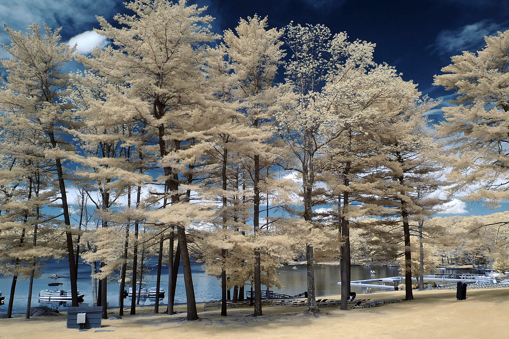
Nature Shots 3

Mongaup Reservoir

On The D&H Canal towpath trail
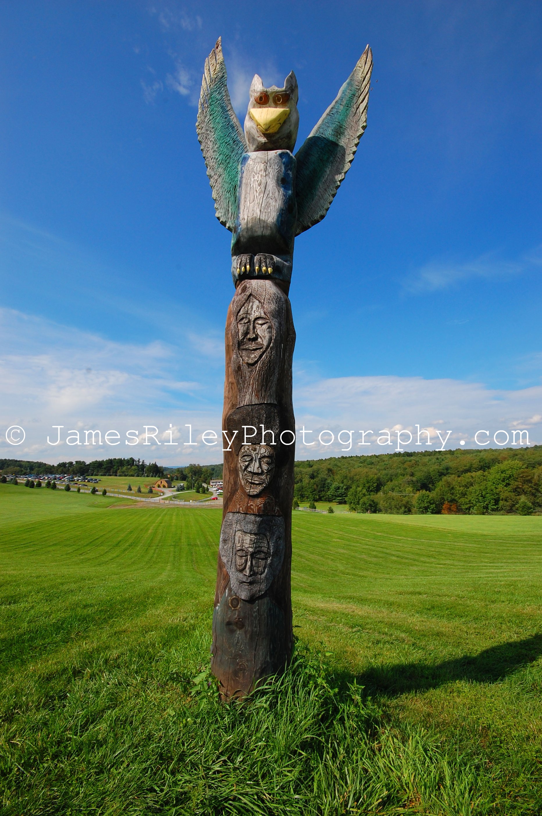
1969 Woodstock Totem Pole TP

Selfie with Annabella

Losing Daylight Over White Lake

Please Sit Somewhere Else

Dreaming Of Pond Reflections
Mountain Lake Under A Moving Sky

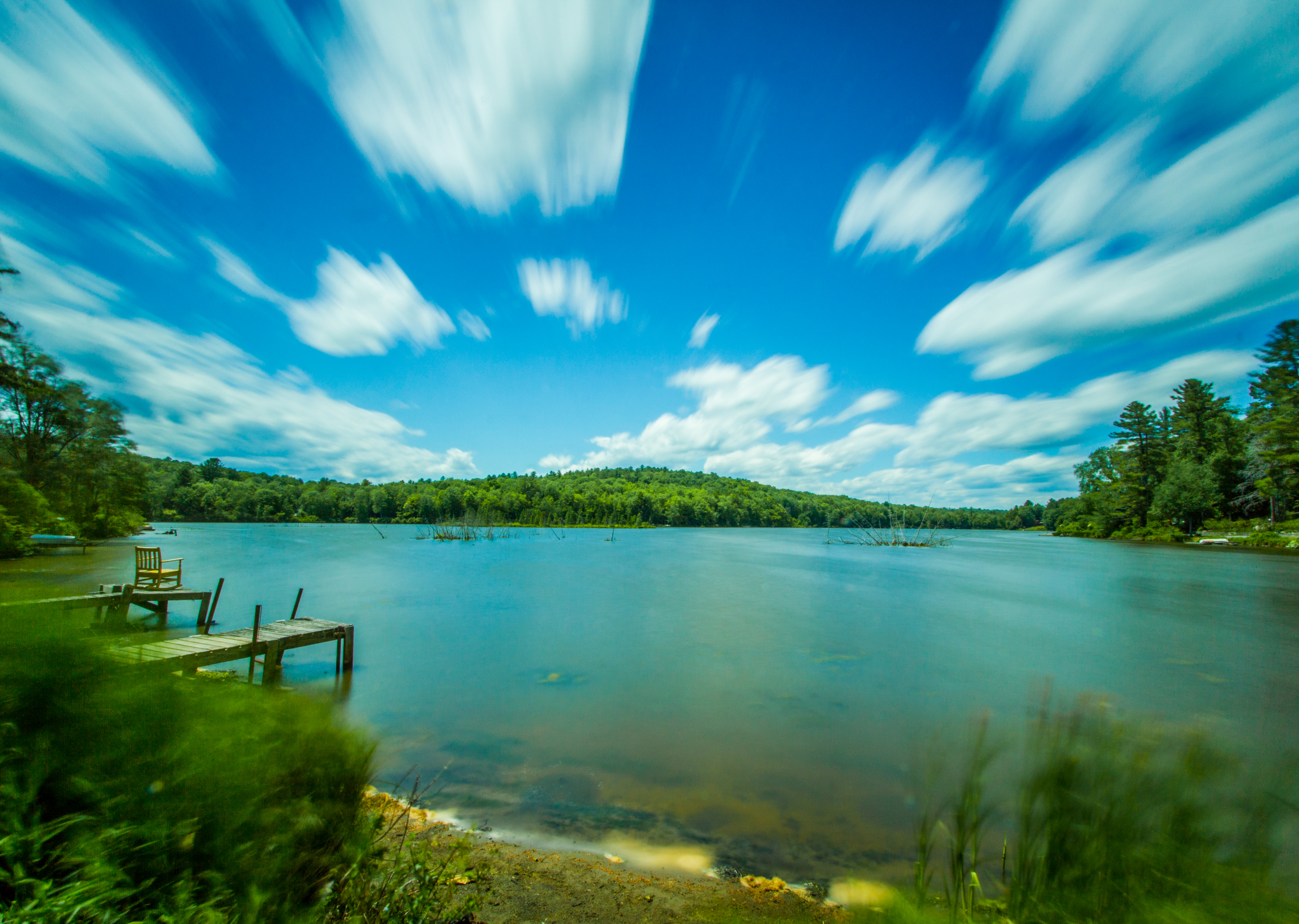
Reflections On A Twin Pond

Bethel, Woodstock NY
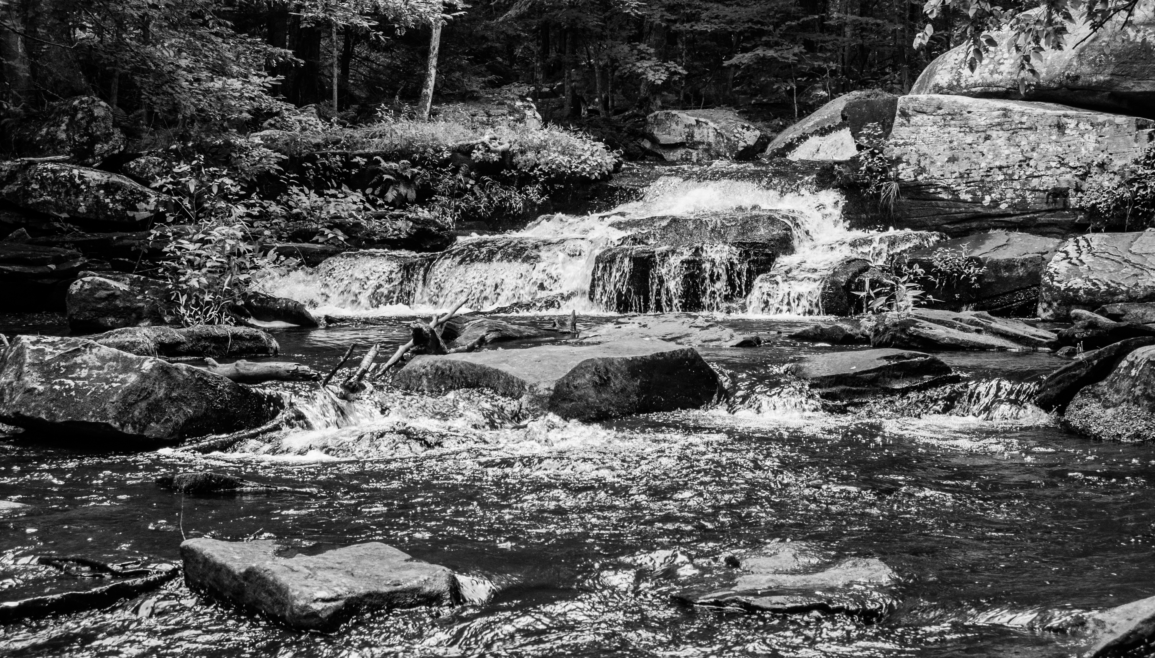
Summer Flow In Minnie Falls
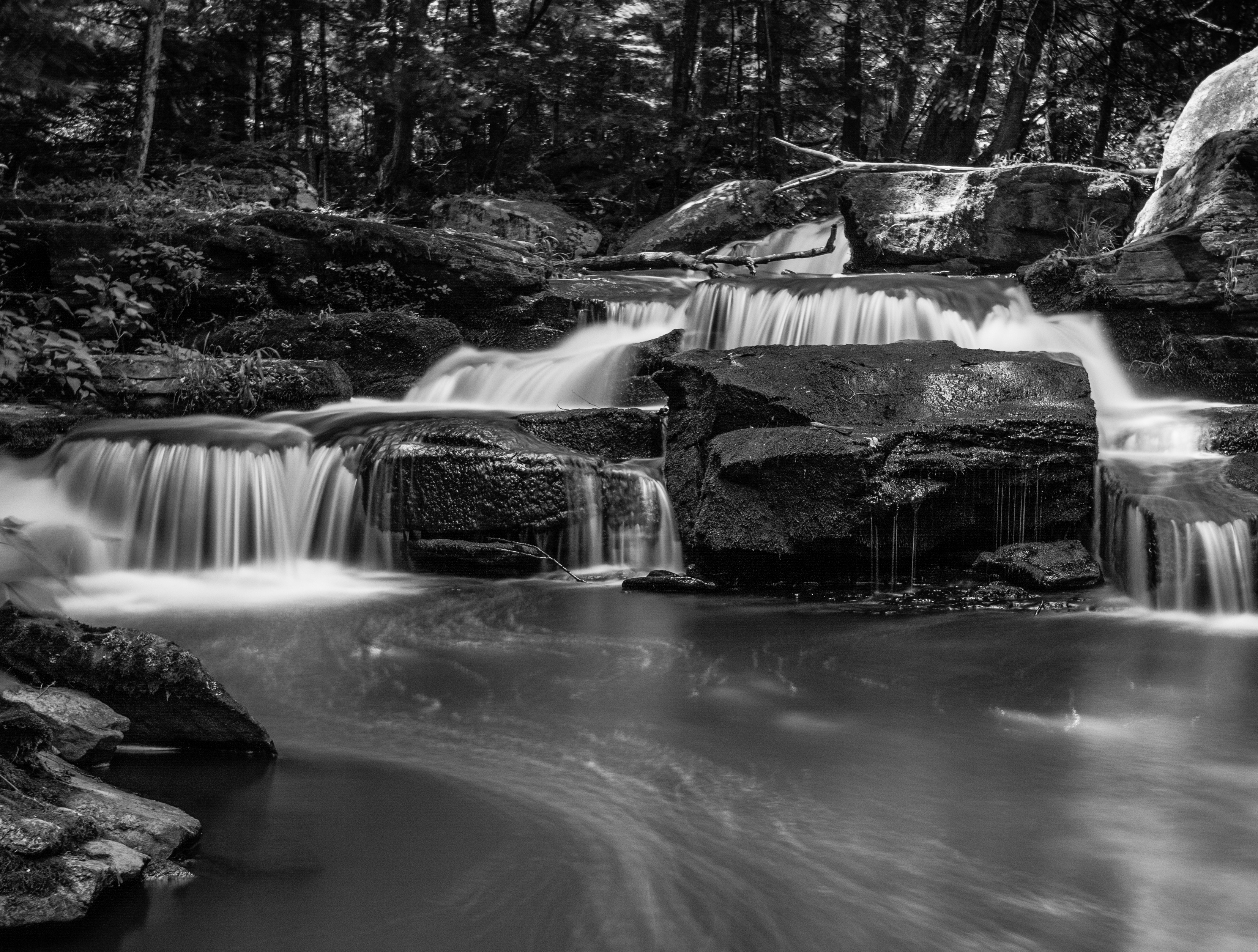
Minnie Falls

Sunlight On Cold Ice
Clouds Over Mountain Lake
Topographic Map of 52 Blind Pond Rd, Narrowsburg, NY, USA
Find elevation by address:

Places near 52 Blind Pond Rd, Narrowsburg, NY, USA:
730 Beaver Brook Rd
Blind Pond Road
Blind Pond Road
Blind Pond Road
Blind Pond Road
277 Blind Pond Rd
283 Beaver Brook Rd
Tusten
8 Melanie Ln
Airport Rd, Eldred, NY, USA
454 Pucky Huddle Rd
5 Grassy Swamp Rd
Yulan, NY, USA
Highland
12 Harder Rd
20 Kern Rd
Eldred
York Lake
566 Lake Shore Ln
Crawford Rd, Narrowsburg, NY, USA
Recent Searches:
- Elevation of Groblershoop, South Africa
- Elevation of Power Generation Enterprises | Industrial Diesel Generators, Oak Ave, Canyon Country, CA, USA
- Elevation of Chesaw Rd, Oroville, WA, USA
- Elevation of N, Mt Pleasant, UT, USA
- Elevation of 6 Rue Jules Ferry, Beausoleil, France
- Elevation of Sattva Horizon, 4JC6+G9P, Vinayak Nagar, Kattigenahalli, Bengaluru, Karnataka, India
- Elevation of Great Brook Sports, Gold Star Hwy, Groton, CT, USA
- Elevation of 10 Mountain Laurels Dr, Nashua, NH, USA
- Elevation of 16 Gilboa Ln, Nashua, NH, USA
- Elevation of Laurel Rd, Townsend, TN, USA