Elevation of Big Boulder Lane, Big Boulder Ln, Washington, USA
Location: United States > Washington > Okanogan County > Tonasket >
Longitude: -119.08417
Latitude: 48.7210427
Elevation: 1086m / 3563feet
Barometric Pressure: 89KPa
Elevation Map:
Satellite Map:
Related Photos:

DSC04832.jpg
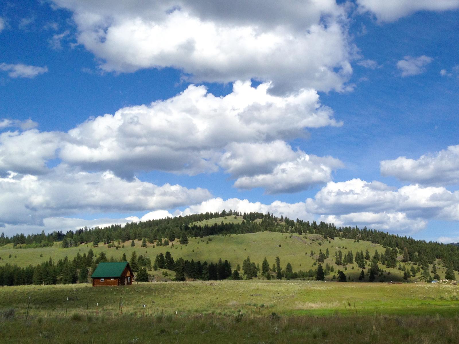
Ranch near Aeneas, Washington

The Pflug Mansion

Aeneas Valley Road near Highway 20

Looking down Bonaparte Creek from the Pacific Northwest Trail just above Bonaparte Lake
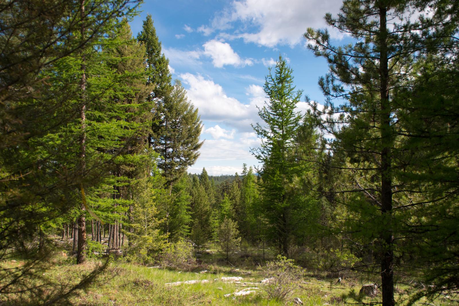
Okanogan National Forest near Fir Mountain
Bonaparte Lake and the Bonaparte Lake Resort from the Pacific Northwest Trail
Clouds moving in over Bonaparte Lake

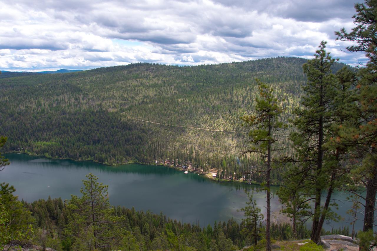
Looking down at Bonaparte Lake from the Pacific Northwest Trail on the eastern slope of Mt. Bonaparte
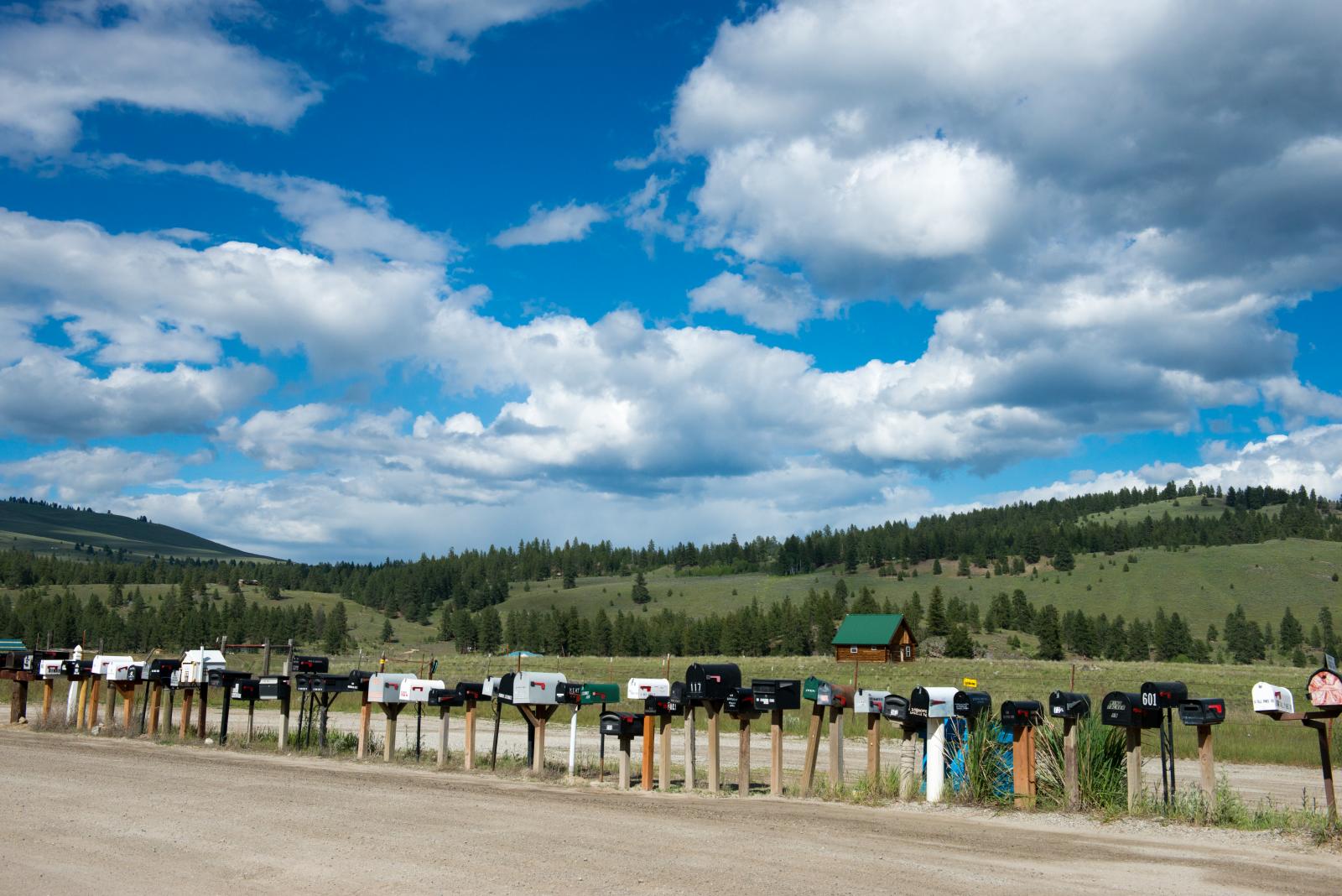
long row of mailboxes on Aeneas Valley Road
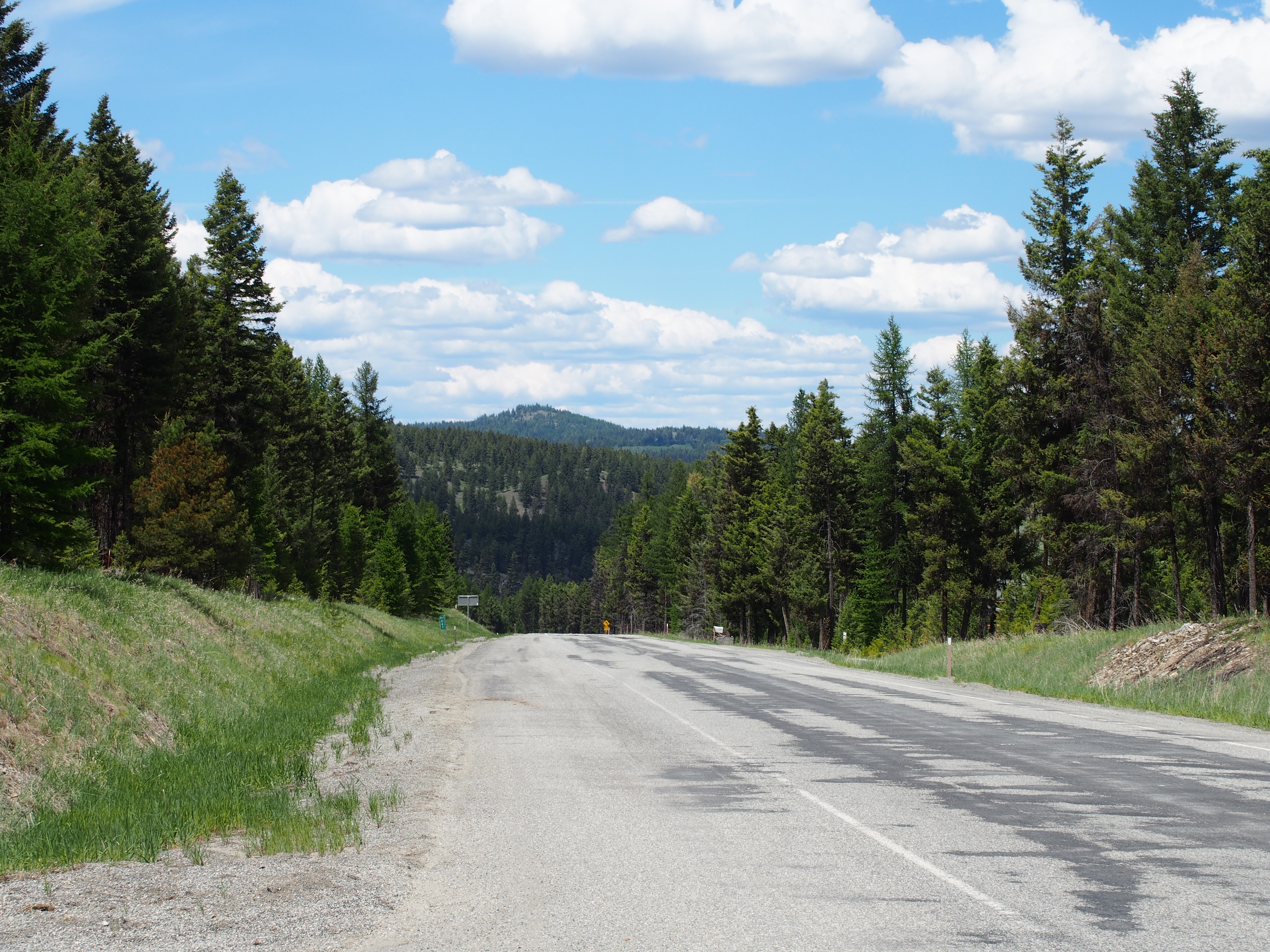
SR-20
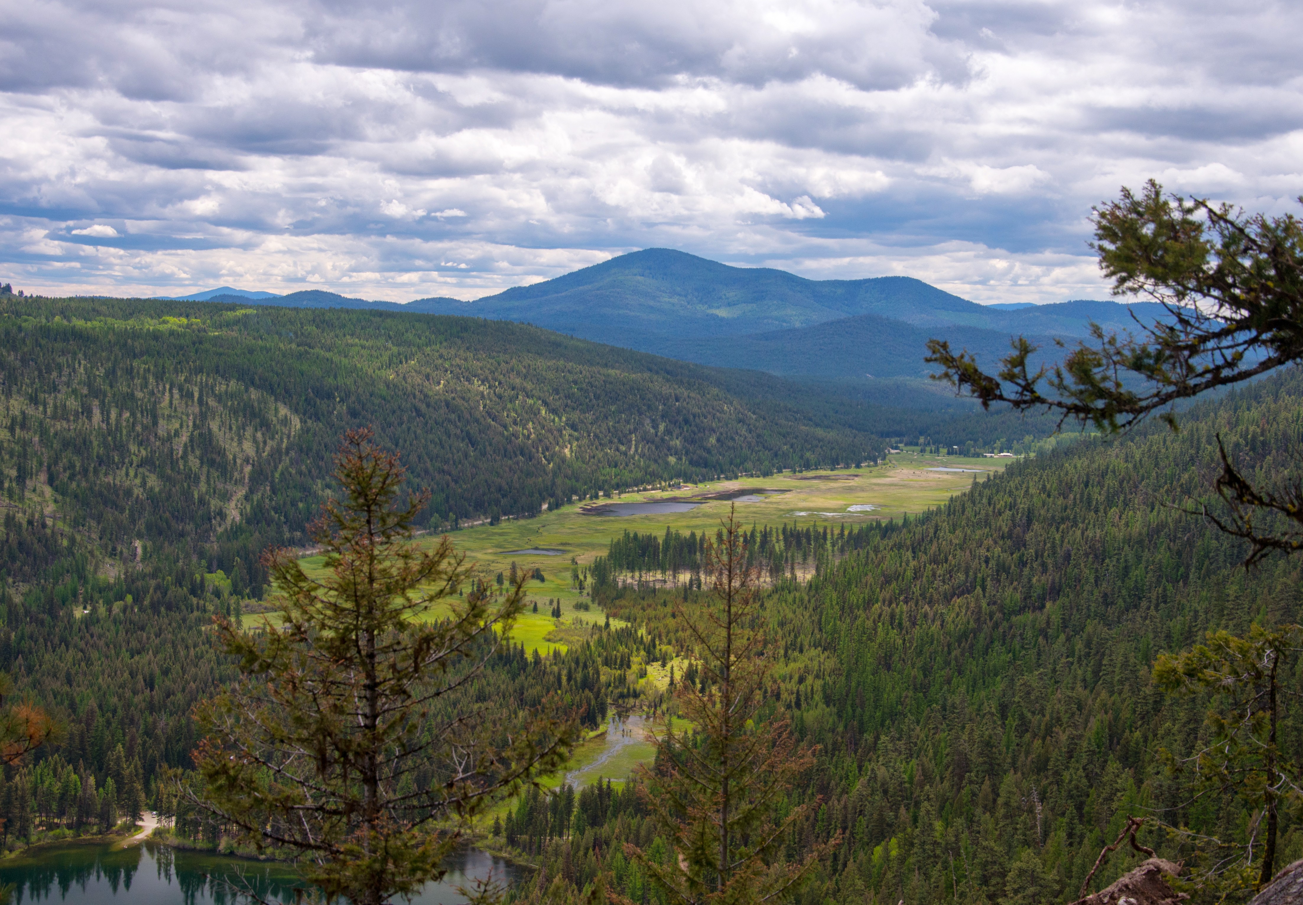
Bonaparte Lake and marshland from the Pacific Northwest Trail

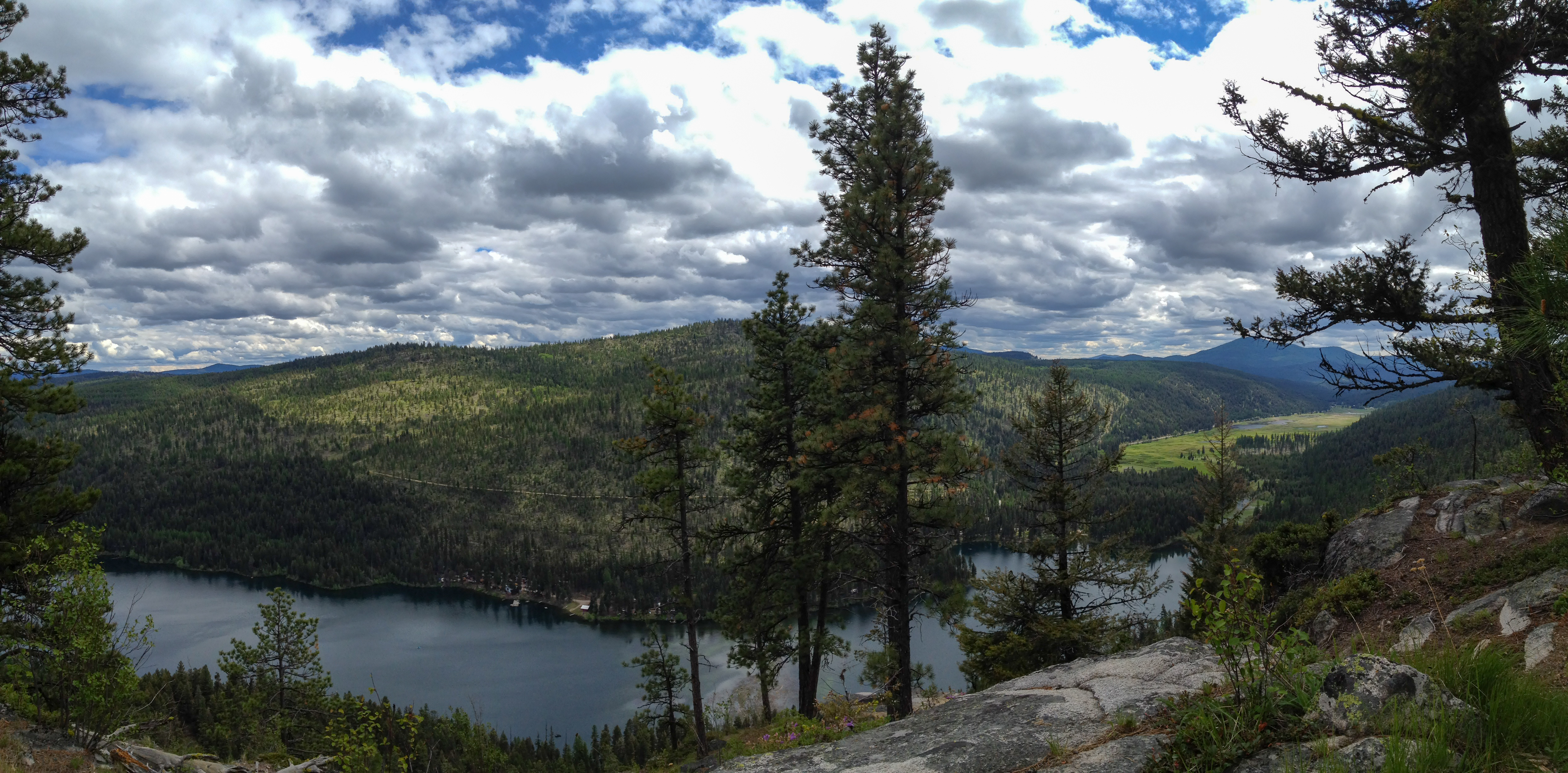
Bonaparte Lake panorama from the Pacific Northwest Trail
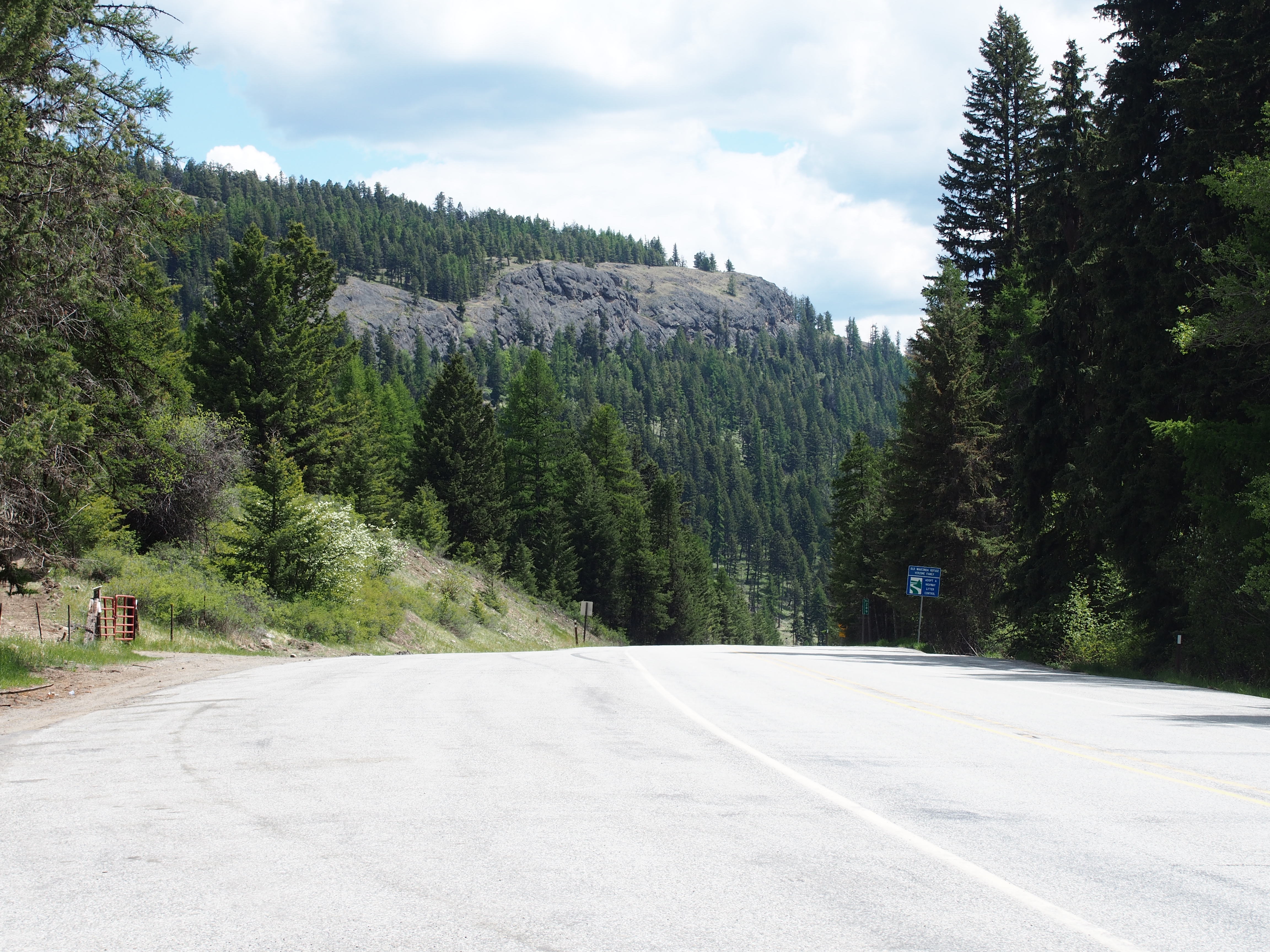
SR-20 at Wauconda Pass

SR-20

SR-20
Fir Mountain Trail - 3
Topographic Map of Big Boulder Lane, Big Boulder Ln, Washington, USA
Find elevation by address:

Places near Big Boulder Lane, Big Boulder Ln, Washington, USA:
319 Big Boulder Ln
Highvalley Road
2360 Wa-20
Wauconda
WA-20, Wauconda, WA, USA
Bonaparte Lake Campground
16 Breezy Ln
361 Neil Cir S Rd
249 Toroda Creek Rd
153 High Country Dr W
2495 Wa-20
251 Neil Cir S Rd
196 Neil Cir S Rd
196 Neil Circle Rd S
196 Neil Circle Rd S
183 Neil Circle Rd S
183 Neil Circle Rd S
183 Neil Circle Rd S
183 Neil Circle Rd S
48 Long Lake Ln
Recent Searches:
- Elevation of Tenjo, Cundinamarca, Colombia
- Elevation of Côte-des-Neiges, Montreal, QC H4A 3J6, Canada
- Elevation of Bobcat Dr, Helena, MT, USA
- Elevation of Zu den Ihlowbergen, Althüttendorf, Germany
- Elevation of Badaber, Peshawar, Khyber Pakhtunkhwa, Pakistan
- Elevation of SE Heron Loop, Lincoln City, OR, USA
- Elevation of Slanický ostrov, 01 Námestovo, Slovakia
- Elevation of Spaceport America, Co Rd A, Truth or Consequences, NM, USA
- Elevation of Warwick, RI, USA
- Elevation of Fern Rd, Whitmore, CA, USA