Elevation of Bethany Rd, San Ramon, CA, USA
Location: United States > California > Contra Costa County > San Ramon >
Longitude: -121.88789
Latitude: 37.757899
Elevation: 196m / 643feet
Barometric Pressure: 99KPa
Elevation Map:
Satellite Map:
Related Photos:
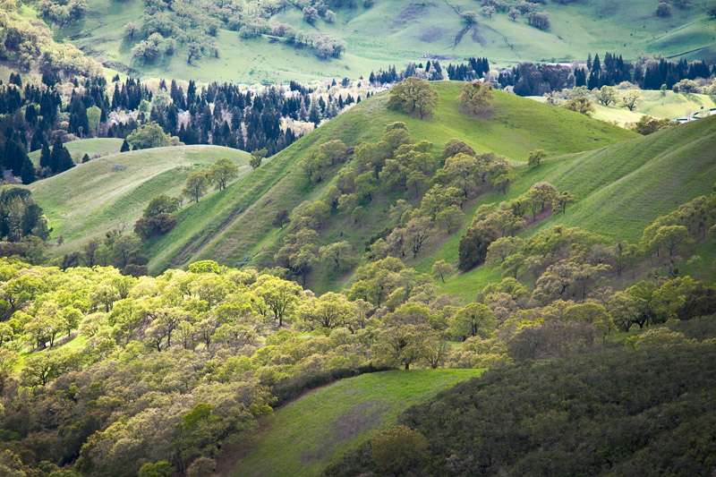
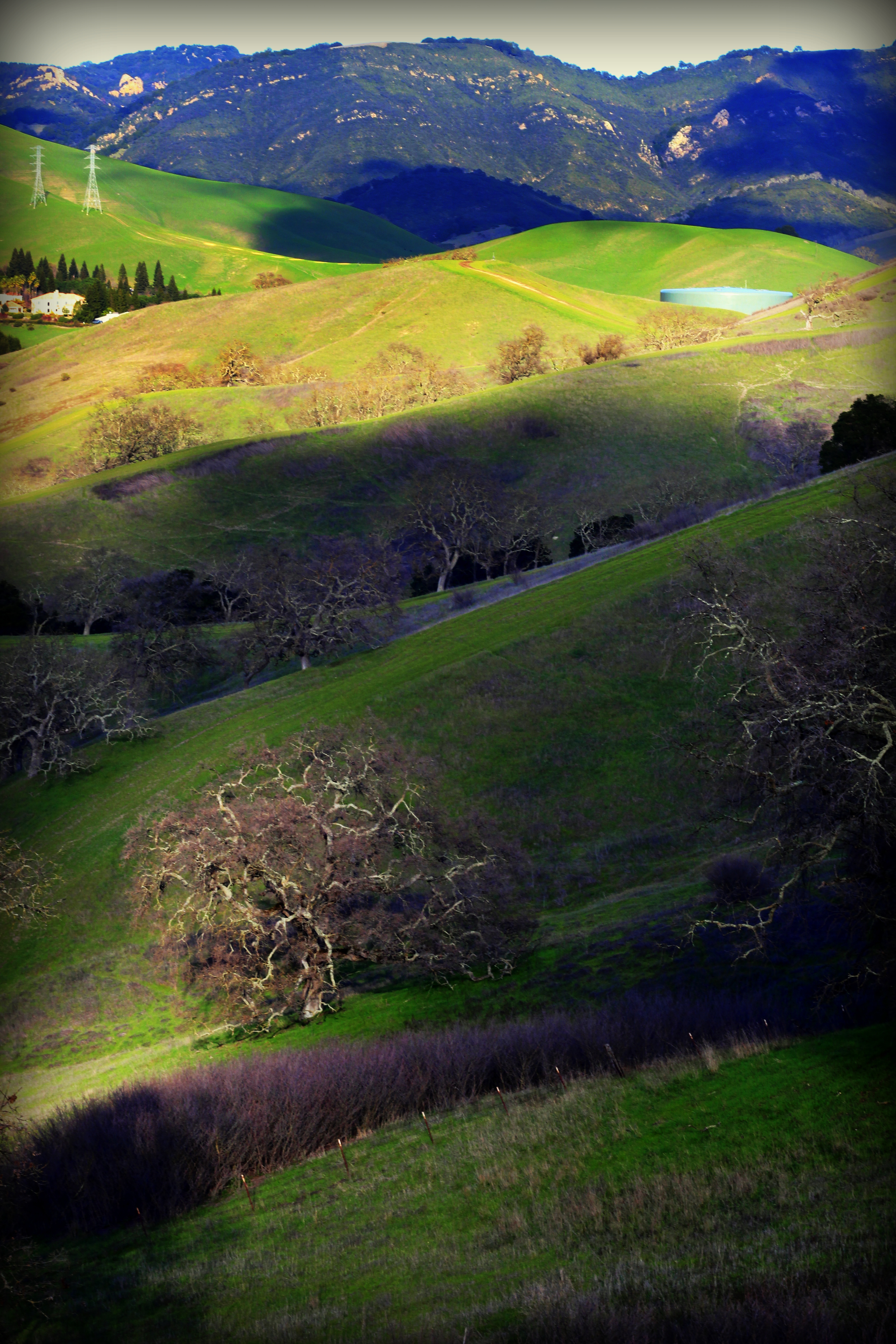
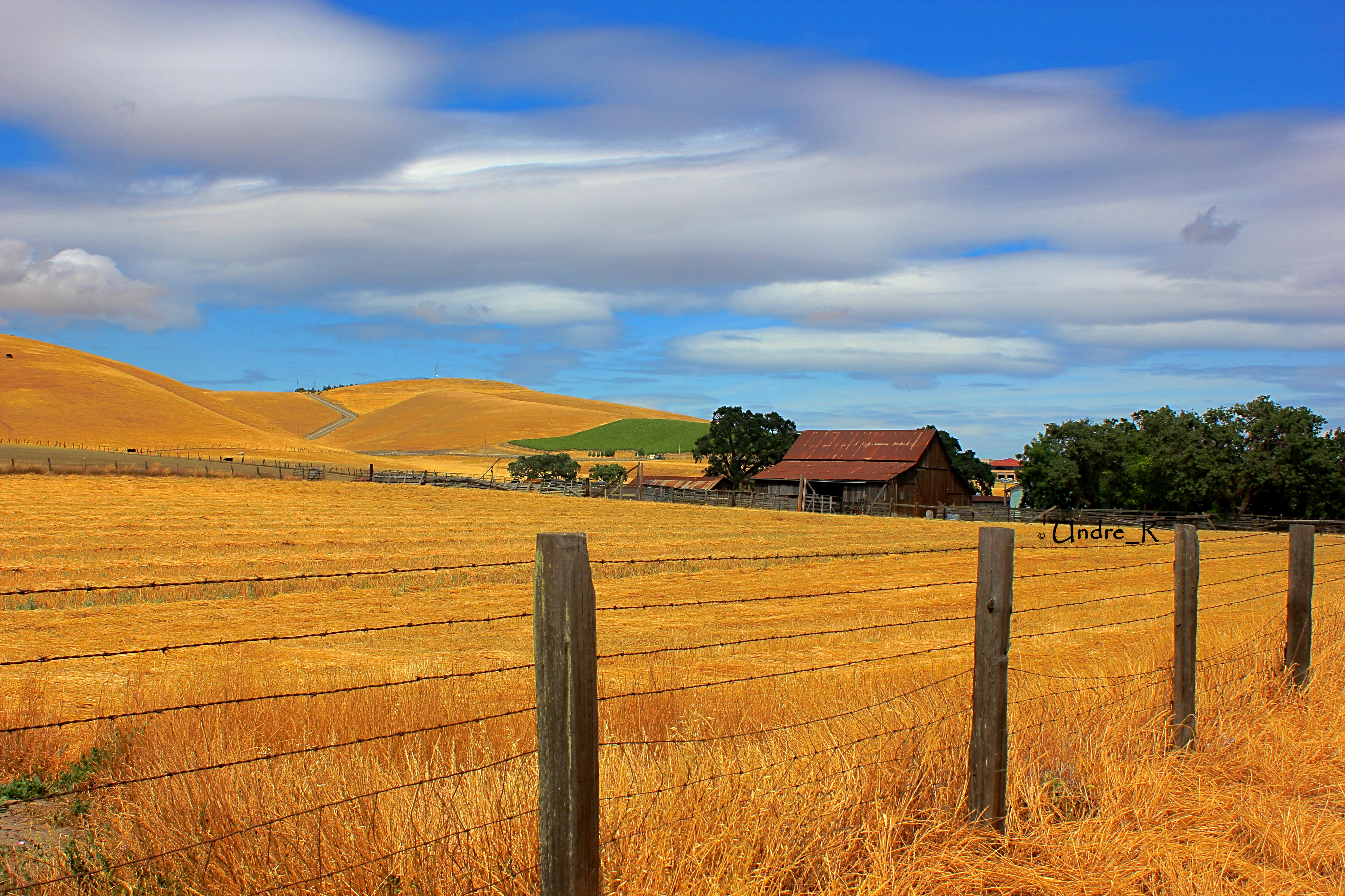
After the Rains

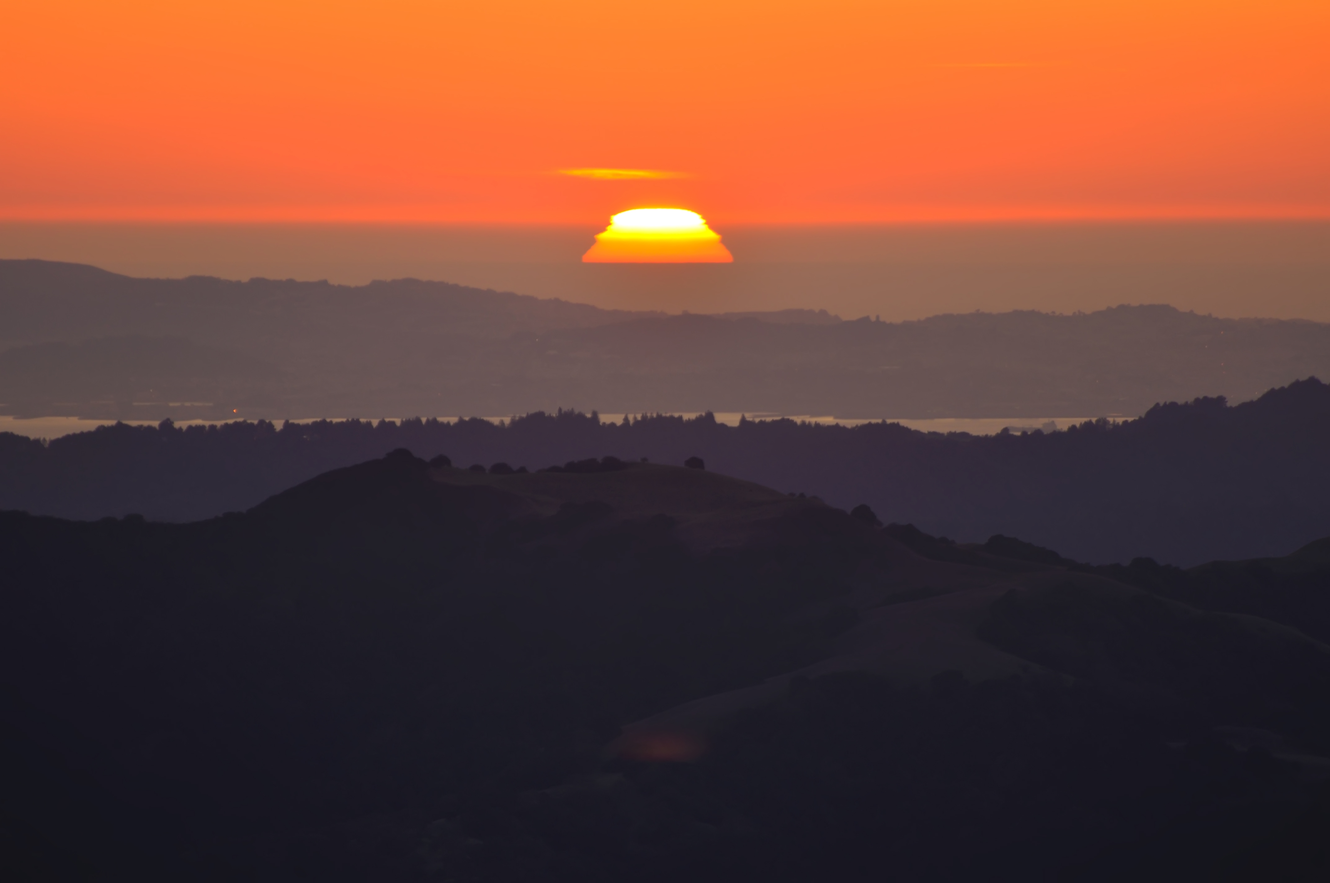
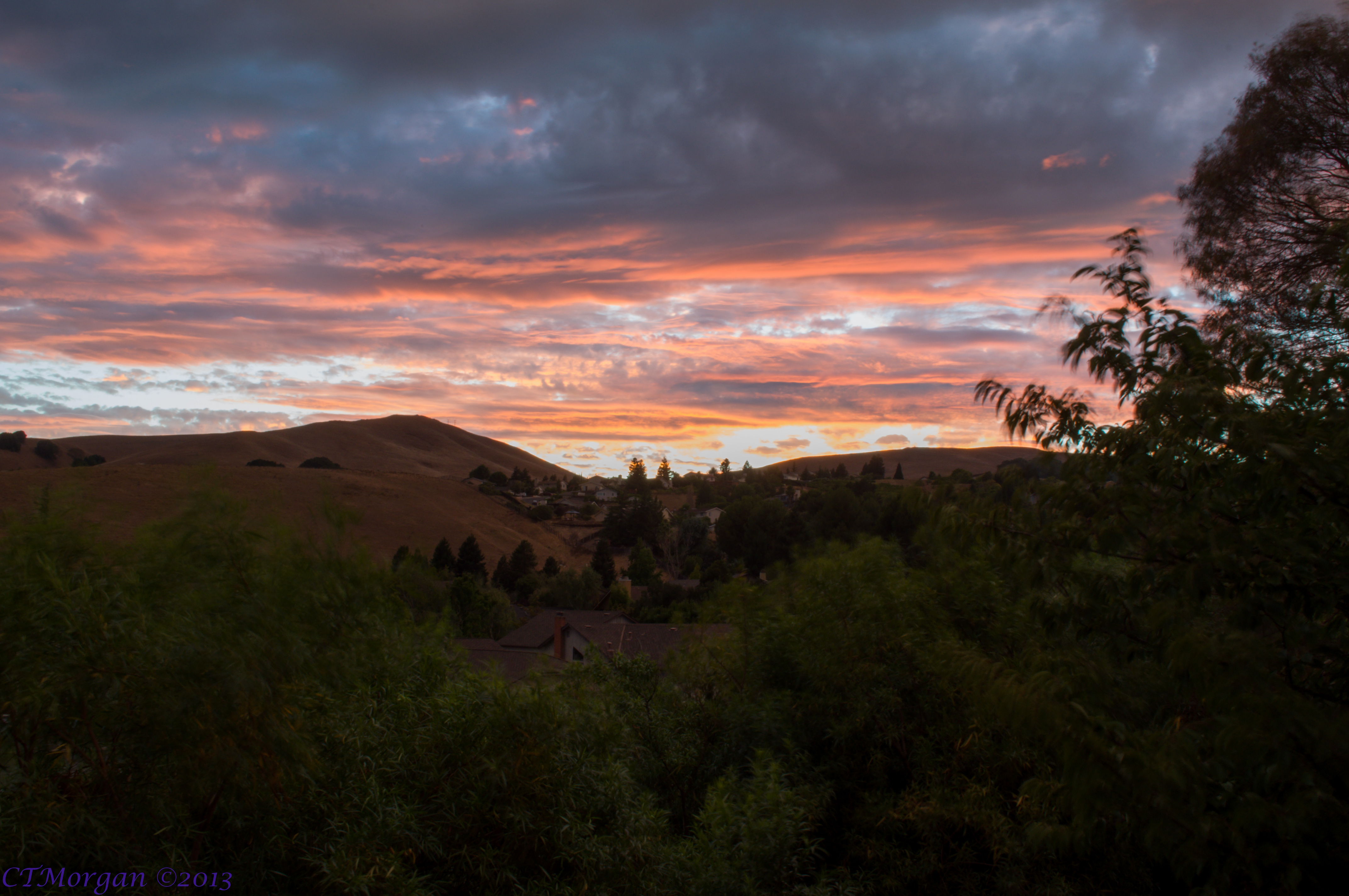
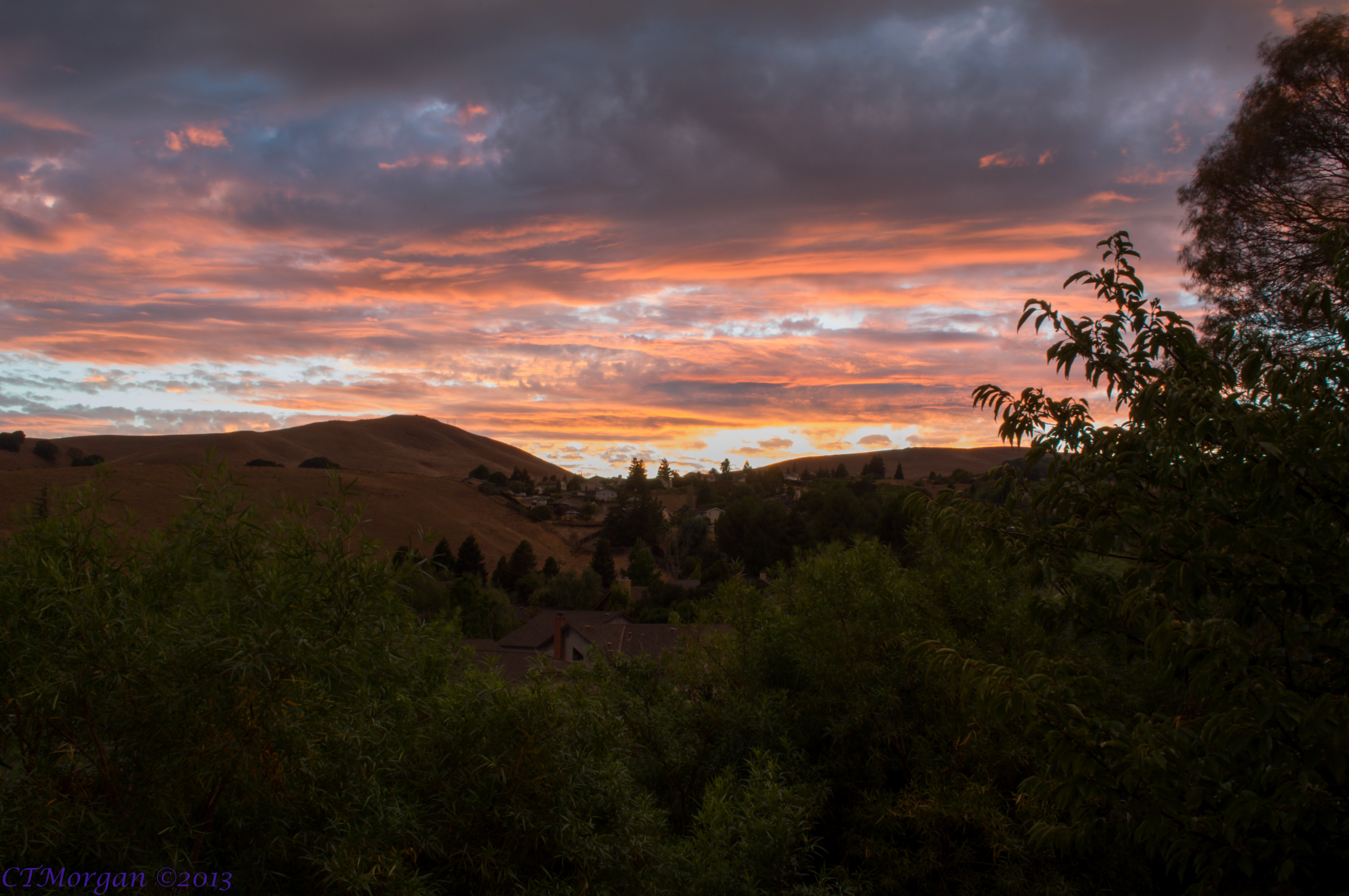
California Sunset

wheels on fire

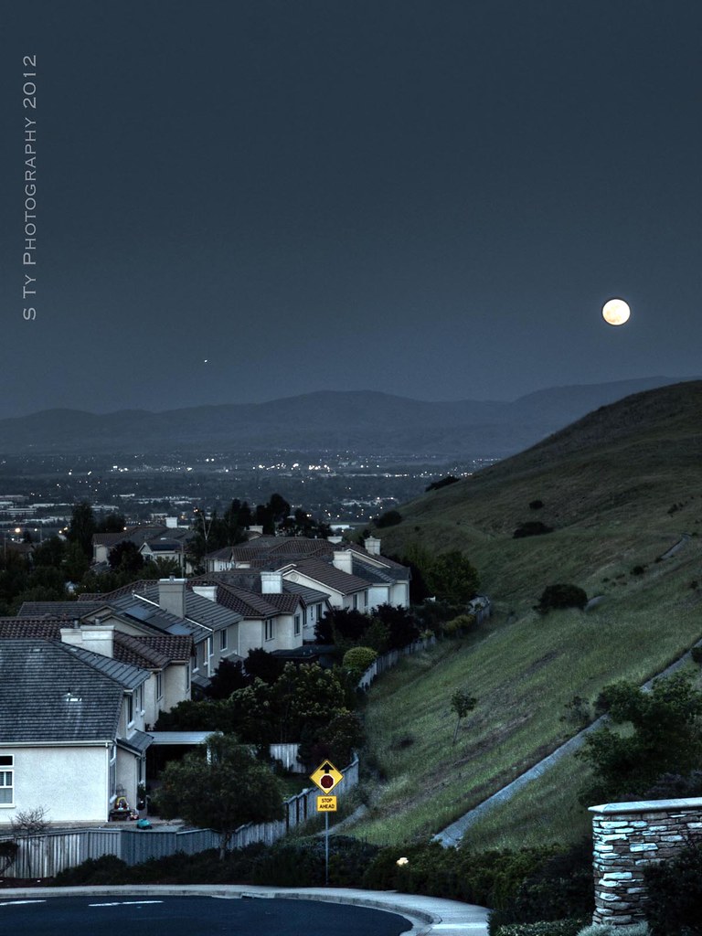
Night View of Tri-Valley

A Gnarly Sunset - California Oak
Sunset from Mount Diablo
Green Flash

My fire in the light.
Stroke of Fall
Serenity - Super Moon over Dublin 05-05-2012
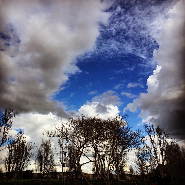
#tree #cloud #sky #blue #storm #view #winter

Mt Diablo
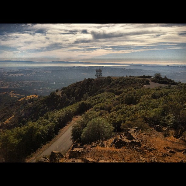
Mt. Diablo to the SF Bay. Awesome view.

big cloud-brushy peak

360 degrees of California

The Glass House (best viewed in Lightbox)

curious squirrel

Top of the Diablo

Ring of Blossoms

July 4th Fireworks
Fossil Ridge Trail - View Large
Goodbye Stormy Skies

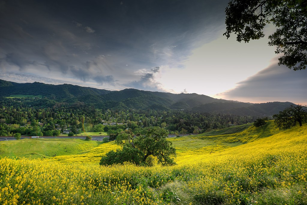
spring all the way

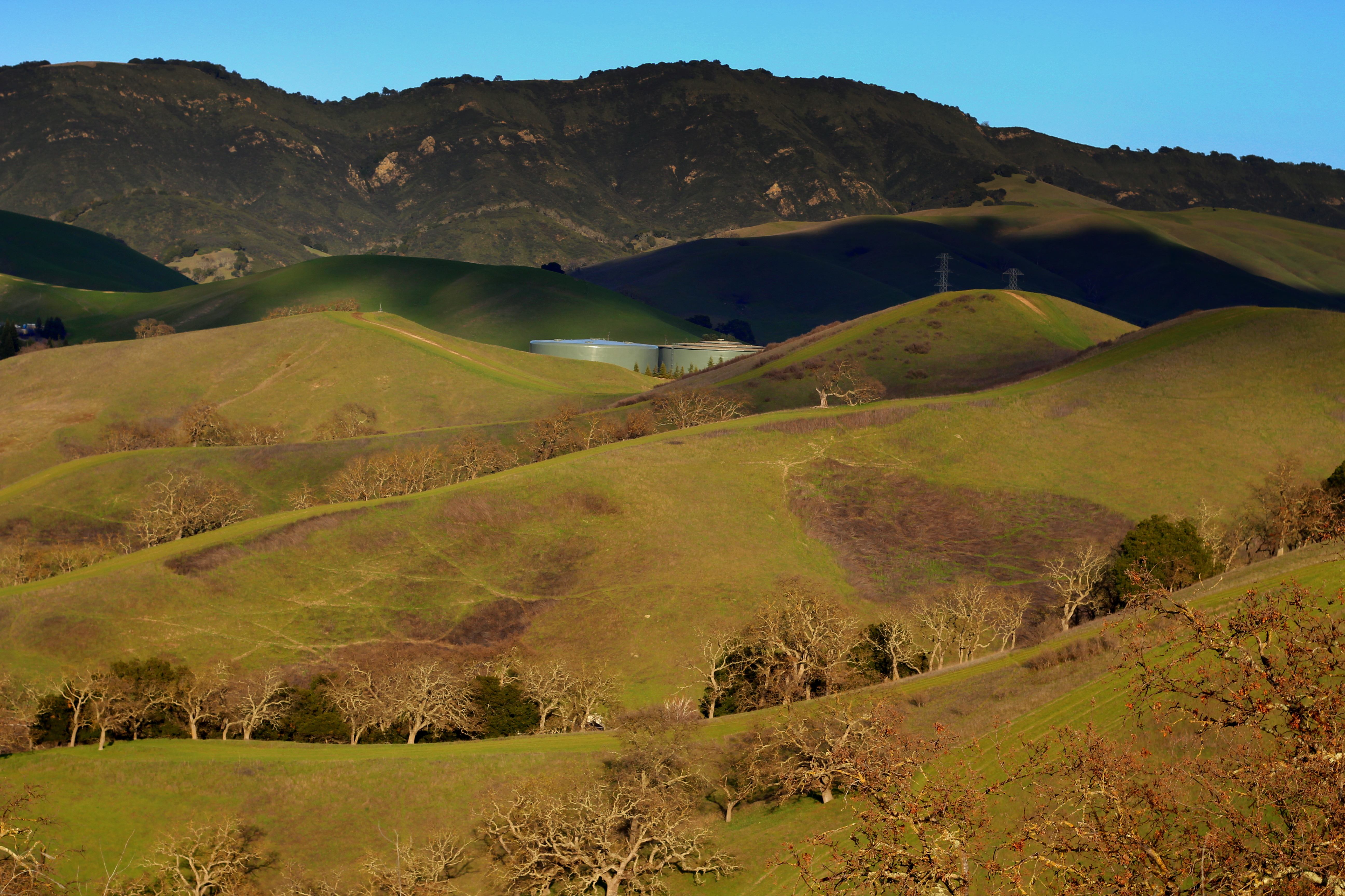
Diablo Hills

Secret Hill

It is always worth it
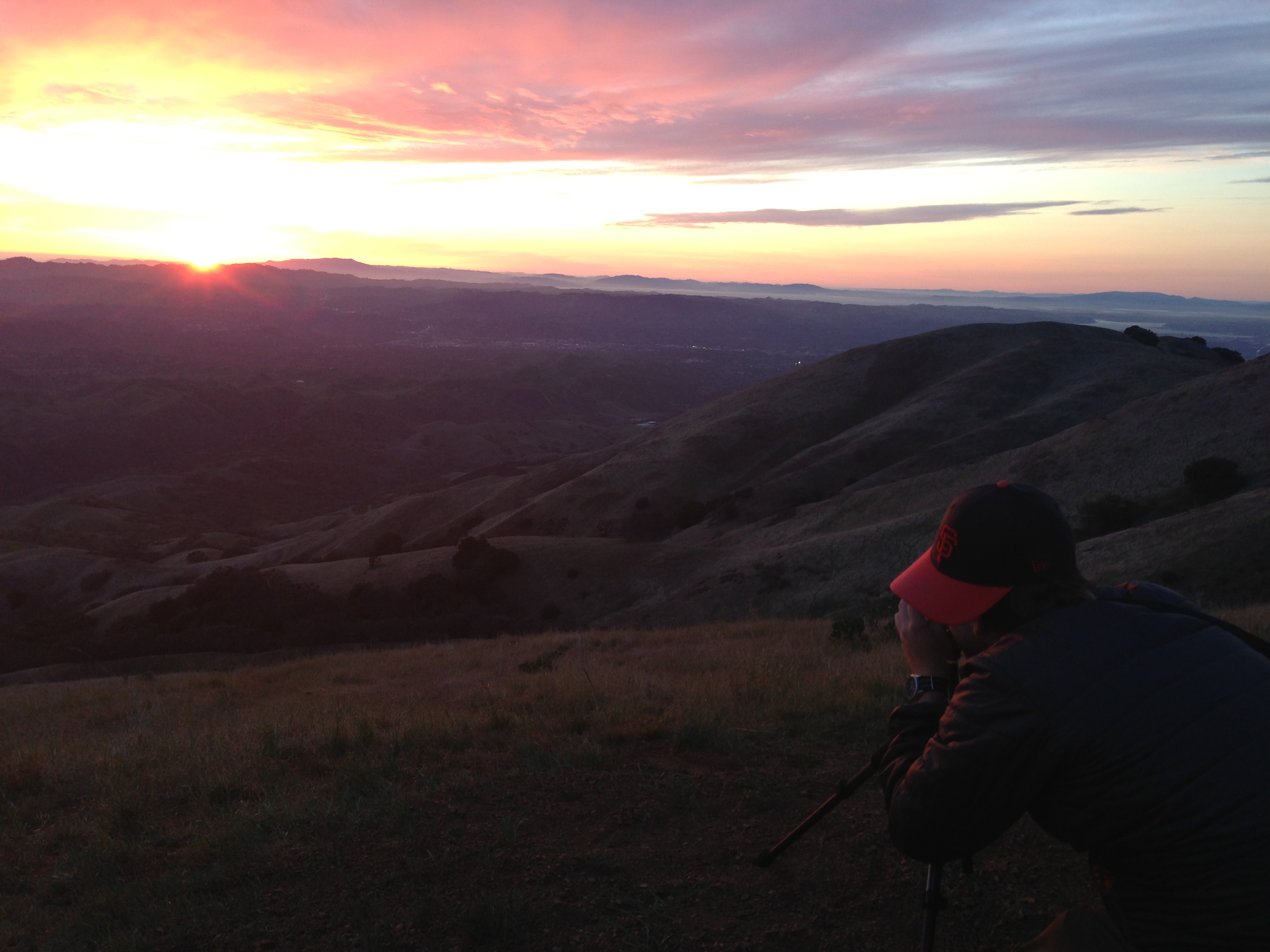
photo.JPG

Morgan Territory Road, Livermore, California
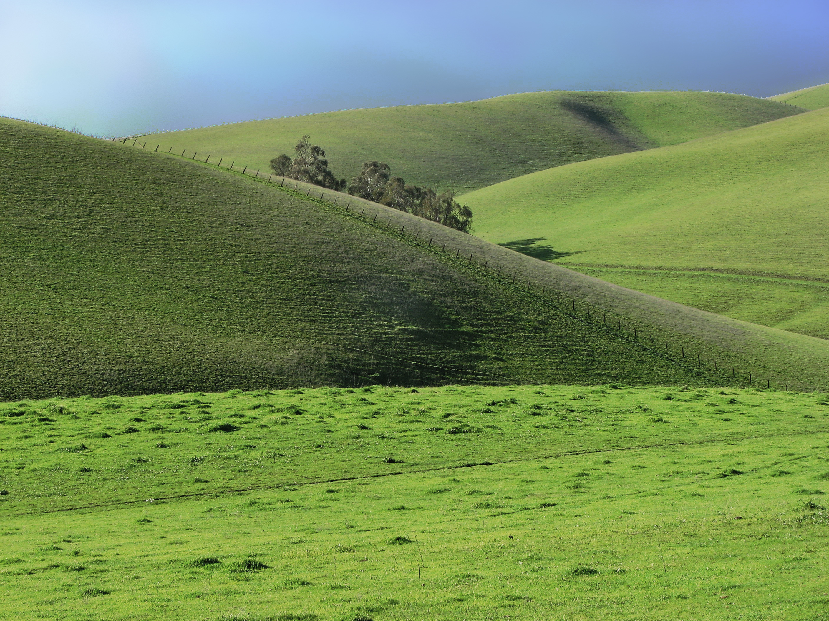
Oceans of Green

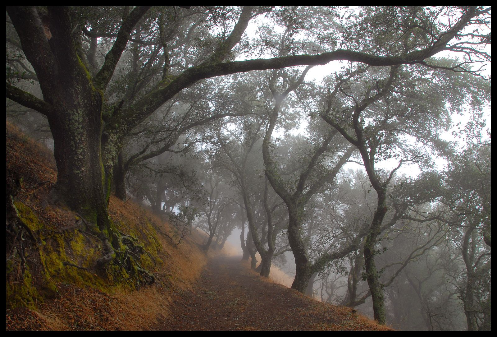
Foggy Road, Livermore
Doolan Canyon
136/365

Over Hill & Dale
He was quietly brunching when I turned up right behind, glad he was so focus!

the morgan hill fire monday morning september 9th
Flower valley

Today's hike
20130902 010.jpg
20130902 008.jpg
Topographic Map of Bethany Rd, San Ramon, CA, USA
Find elevation by address:

Places near Bethany Rd, San Ramon, CA, USA:
2819 Bethany Rd
3708 Vindara Ln
Keats Lane
Windemere Ranch Middle School
Gale Ranch Middle School
1299 Charbray St
Trefoil Road
909 Armant Ct
U.s Army Camp Parks
Dougherty Road
711 Endsleigh Ct
372 Bellflower Ct
The Bridges Golf Club
5622 Avellina Dr
4168 Greenwich Dr
4850 Tassajara Rd
3057 Vittoria Loop
69 Elmwood Dr
Lilac Ridge Road
Sovereign Court
Recent Searches:
- Elevation of Lampiasi St, Sarasota, FL, USA
- Elevation of Elwyn Dr, Roanoke Rapids, NC, USA
- Elevation of Congressional Dr, Stevensville, MD, USA
- Elevation of Bellview Rd, McLean, VA, USA
- Elevation of Stage Island Rd, Chatham, MA, USA
- Elevation of Shibuya Scramble Crossing, 21 Udagawacho, Shibuya City, Tokyo -, Japan
- Elevation of Jadagoniai, Kaunas District Municipality, Lithuania
- Elevation of Pagonija rock, Kranto 7-oji g. 8"N, Kaunas, Lithuania
- Elevation of Co Rd 87, Jamestown, CO, USA
- Elevation of Tenjo, Cundinamarca, Colombia