Elevation of U.S Army Camp Parks, - 12th St, Dublin, CA, USA
Location: United States > California > Alameda County > Dublin >
Longitude: -121.89812
Latitude: 37.7201692
Elevation: 122m / 400feet
Barometric Pressure: 100KPa
Elevation Map:
Satellite Map:
Related Photos:

Fluorescein Dye

Giddy-Up!
dublin / pleasanton platform in the rain
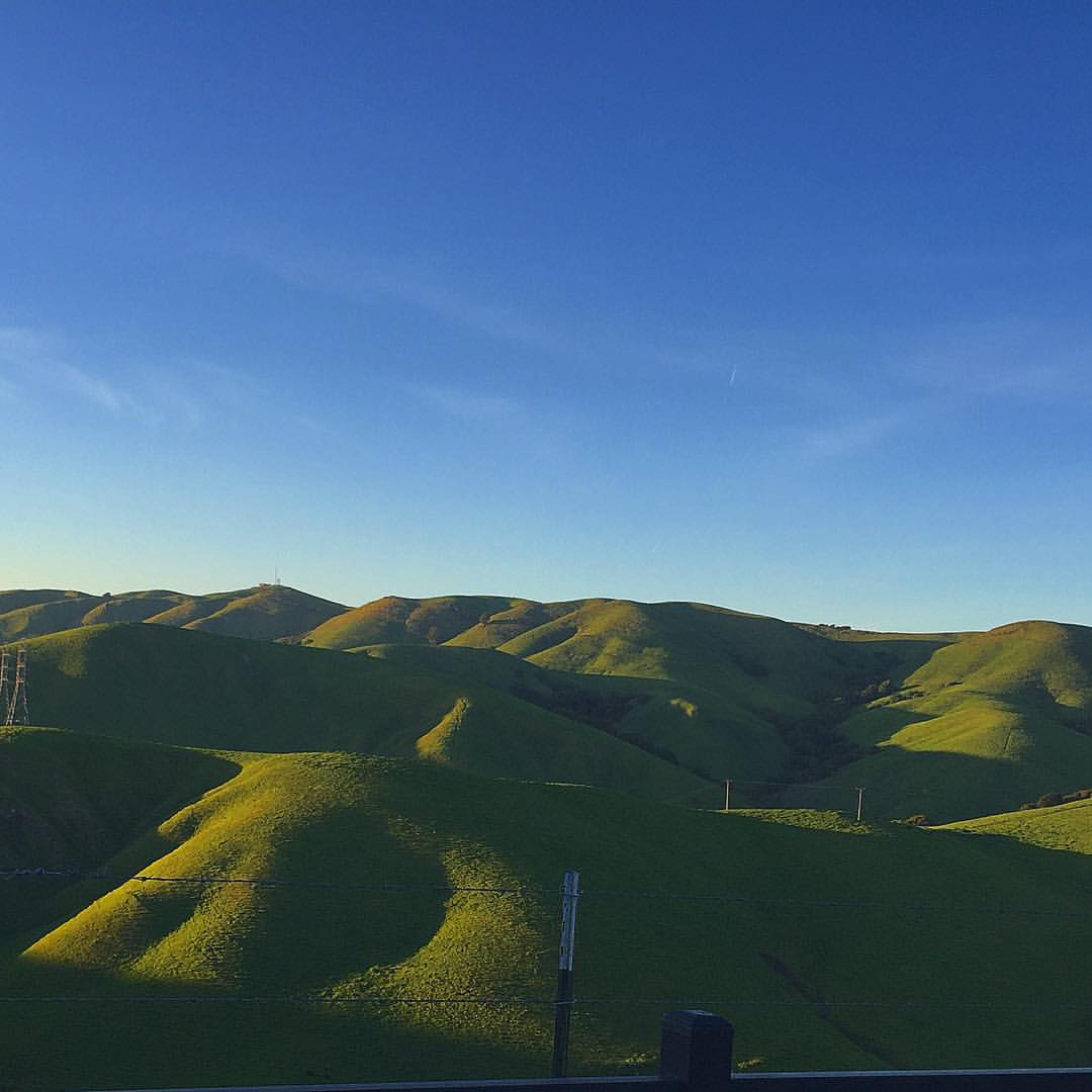
Mt. Diablo Scenic Road
pivot panorama
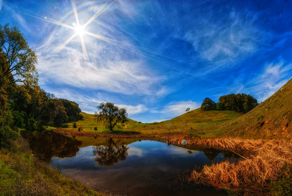
After the Rains

#cloud #sky #blue #circular #circle #sun #nature #view #scenery

Another anthropological point of view

The littlest Daisy

wheels on fire

Dew Droplet

Red / Blue Waterdrop

A Gnarly Sunset - California Oak

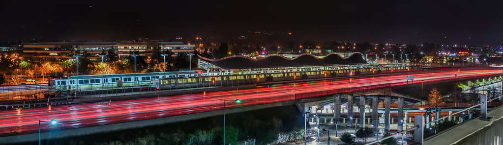
Night View of Tri-Valley

Hillcrest 20170718
View from my room.
#tree #cloud #sky #blue #storm #view #winter

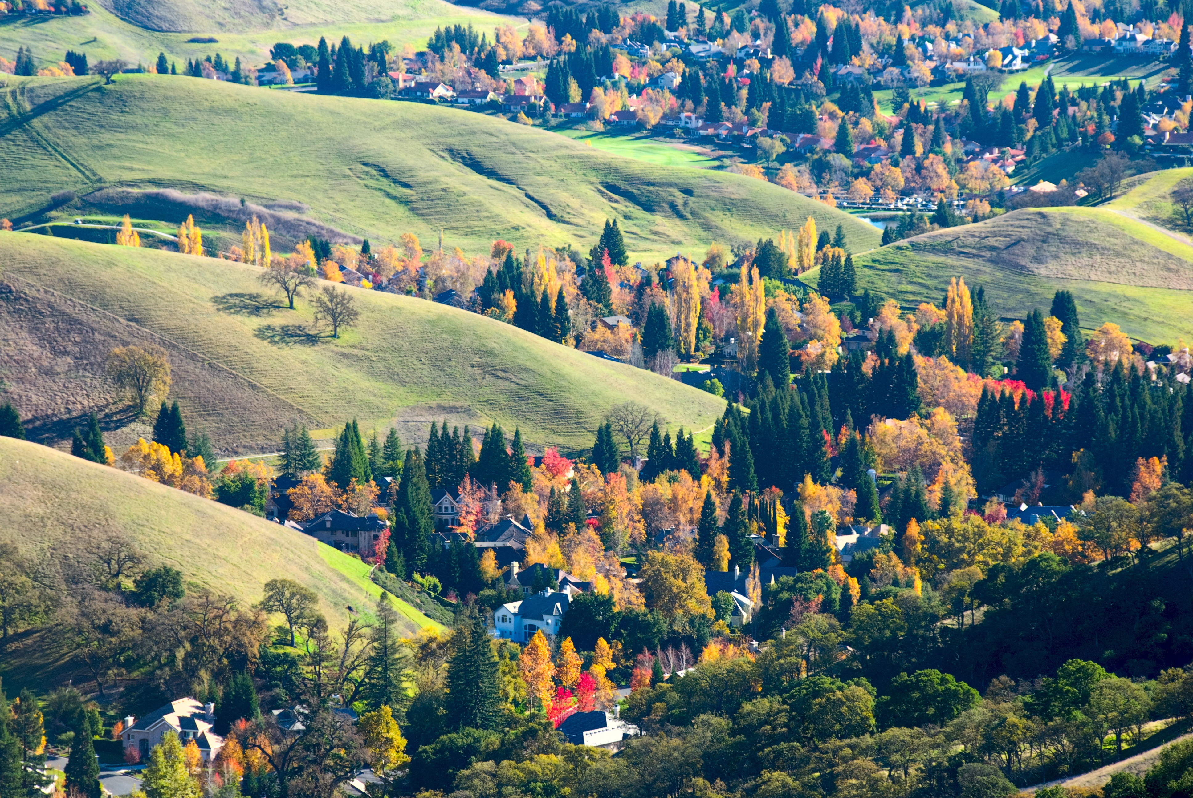
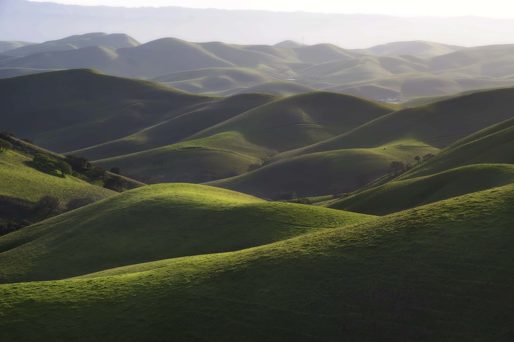
The hills are alive...

curious squirrel

Stroke of Fall
The Glass House (best viewed in Lightbox)

Trail to the Yellow Flowers

valley wrap 22

The lone tree.

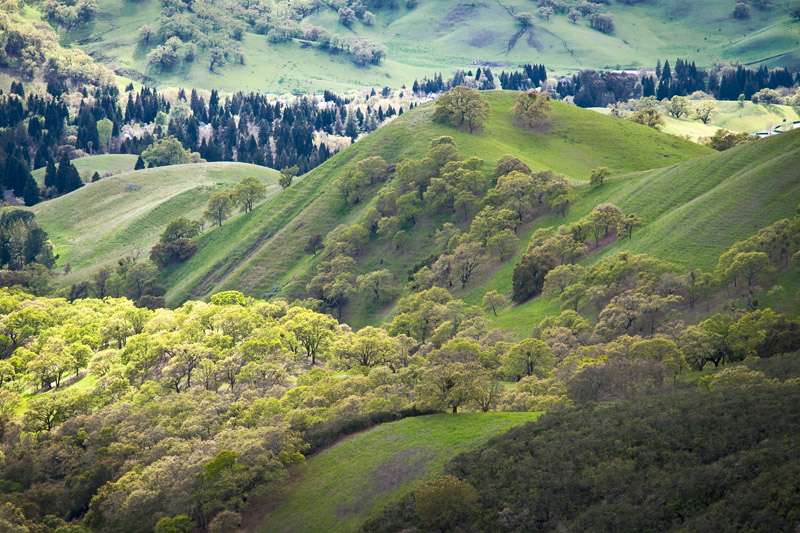
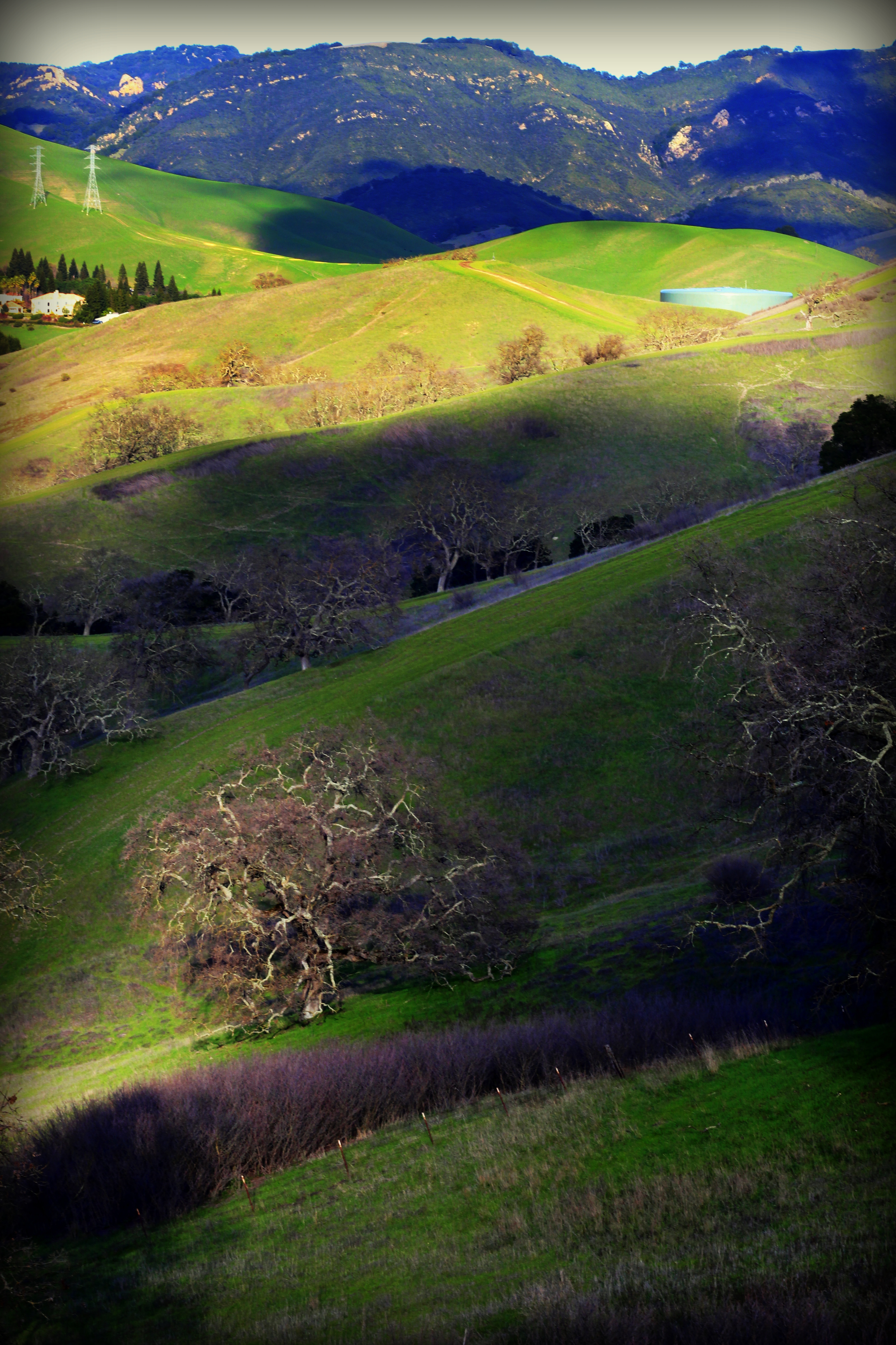
Green Slopes
the morgan hill fire monday morning september 9th

Rain and hail today. Yay!

Tree of Light
Almost Noon

1869 Line Poll in Niles Canyon
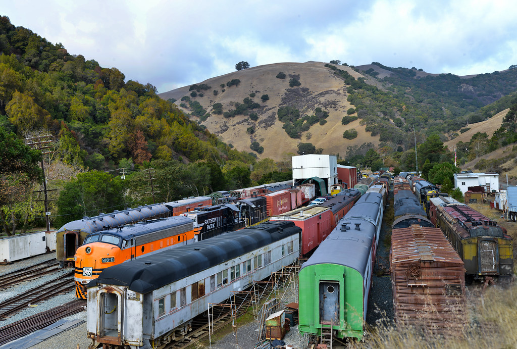
canyon yard
Garin Regional 20160515

Garin Regional Park
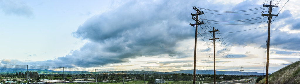
Goodbye Stormy Skies

spring all the way
Something about these hills...remind me of Shrek.

Foggy Road, Livermore
Morgan Territory Road, Livermore, California

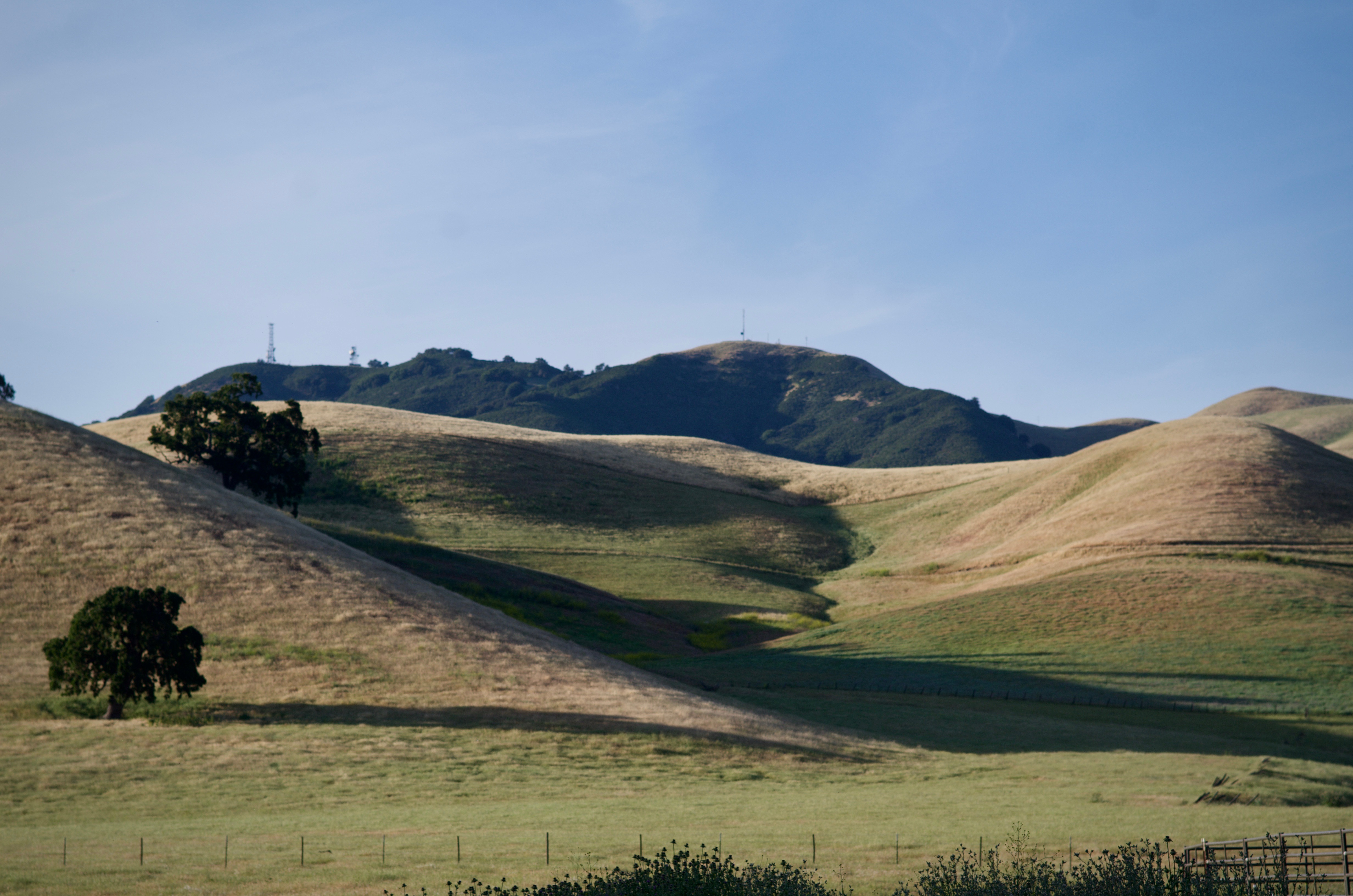
Secret Hill

Garin 20150227
Reinstein Ranch
Topographic Map of U.S Army Camp Parks, - 12th St, Dublin, CA, USA
Find elevation by address:

Places near U.S Army Camp Parks, - 12th St, Dublin, CA, USA:
Dougherty Road
The Galloway
Dublin Boulevard
Dublin Library
4850 Tassajara Rd
6883 Village Pkwy
4120 Dublin Blvd
5990 Stoneridge Dr
Davona Dr, Dublin, CA, USA
Safeway
Keats Lane
4385 Hopyard Rd
4156 Clarinbridge Cir
Windemere Ranch Middle School
69 Elmwood Dr
Sovereign Court
6220 Stoneridge Mall Rd
4125 Hopyard Rd
5794 W Las Positas Blvd
Stoneridge Mall Road
Recent Searches:
- Elevation of Warwick, RI, USA
- Elevation of Fern Rd, Whitmore, CA, USA
- Elevation of 62 Abbey St, Marshfield, MA, USA
- Elevation of Fernwood, Bradenton, FL, USA
- Elevation of Felindre, Swansea SA5 7LU, UK
- Elevation of Leyte Industrial Development Estate, Isabel, Leyte, Philippines
- Elevation of W Granada St, Tampa, FL, USA
- Elevation of Pykes Down, Ivybridge PL21 0BY, UK
- Elevation of Jalan Senandin, Lutong, Miri, Sarawak, Malaysia
- Elevation of Bilohirs'k