Elevation of Endsleigh Ct, Danville, CA, USA
Location: United States > California > Contra Costa County > Danville >
Longitude: -121.91578
Latitude: 37.791609
Elevation: 211m / 692feet
Barometric Pressure: 99KPa
Elevation Map:
Satellite Map:
Related Photos:
Goodbye Stormy Skies

He was quietly brunching when I turned up right behind, glad he was so focus!

spring all the way

After the Rains

Secret Hill

It is always worth it
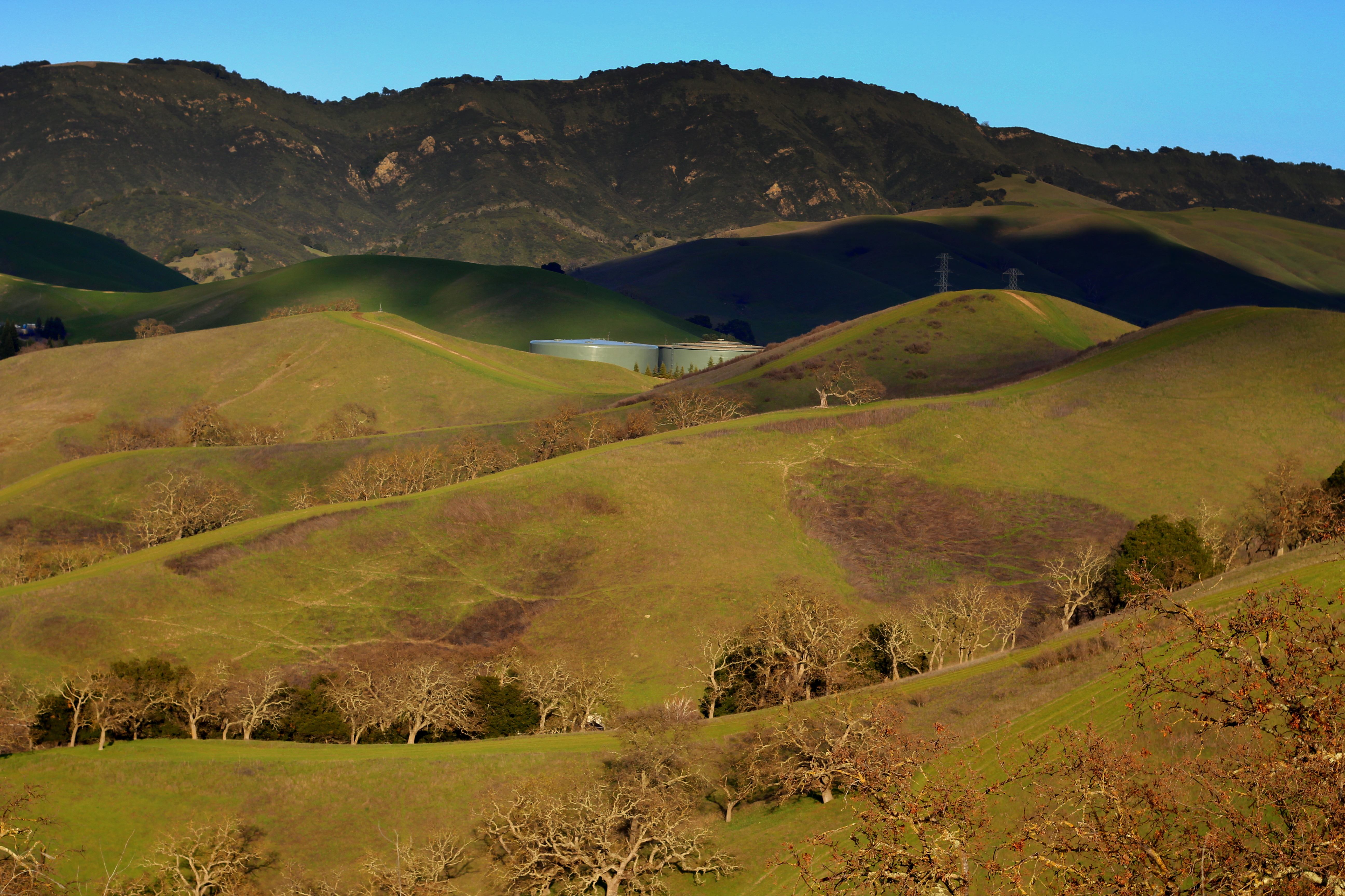
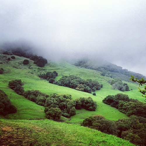
Oceans of Green

Foggy Road, Livermore

136/365

the morgan hill fire monday morning september 9th

Night View of Tri-Valley

Tree of Light

Livermore Spring
The Eastern Cloudwall

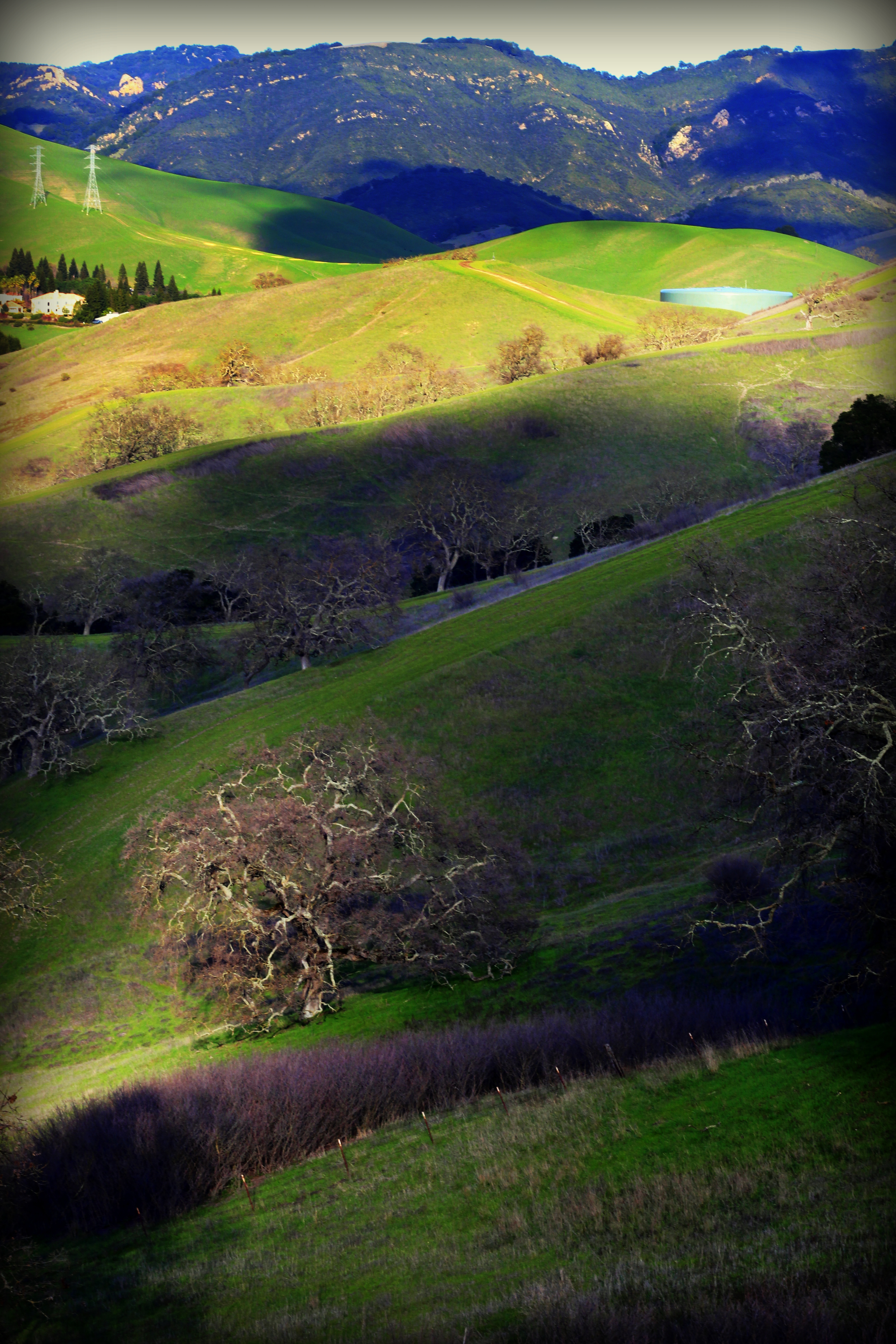
Diablo Hills
Nature with a nice trail n a twist of instragram!

Mt. Diablo Sunset
Th fog was rolling in quick!
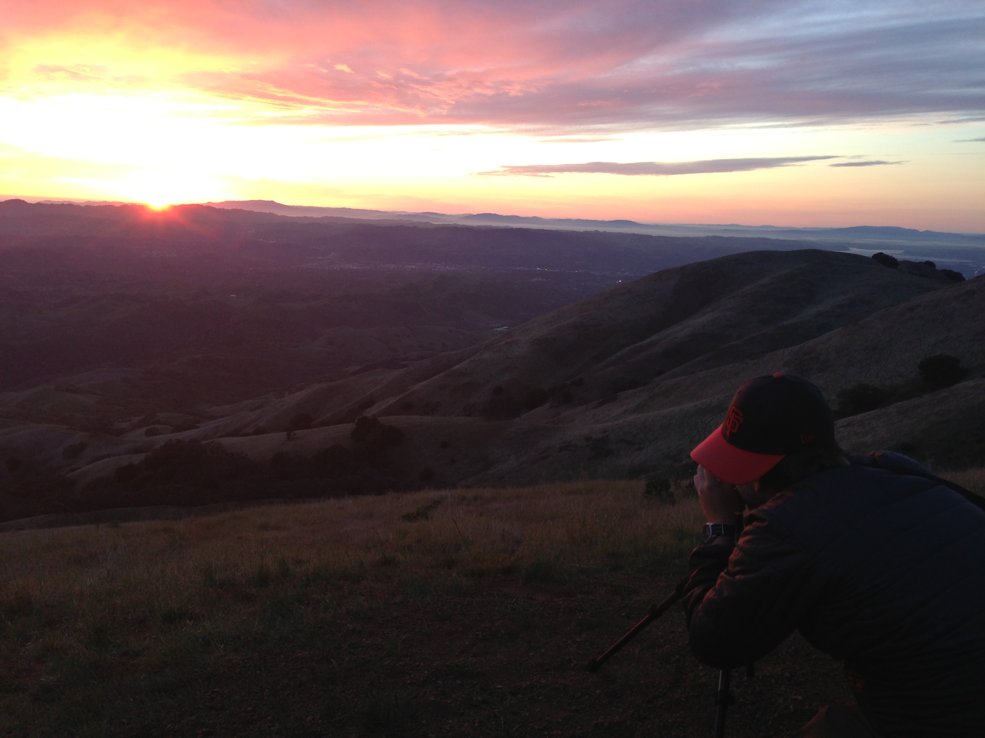
photo.JPG

Morgan Territory Road, Livermore, California

Castle Rocks - Diablo Foothills
Topographic Map of Endsleigh Ct, Danville, CA, USA
Find elevation by address:

Places near Endsleigh Ct, Danville, CA, USA:
372 Bellflower Ct
Gale Ranch Middle School
Lilac Ridge Road
The Bridges Golf Club
2016 Wineberry Dr
909 Armant Ct
350 Bollinger Canyon Ln
Trefoil Road
3010 Lakemont Dr
1299 Charbray St
3708 Vindara Ln
Windemere Ranch Middle School
4168 Greenwich Dr
Canyon Woods Apartments
2819 Bethany Rd
2815 Bethany Rd
Keats Lane
2103 Presidio Ct
2623 Camino Ramon
6121 Bollinger Canyon Rd
Recent Searches:
- Elevation of Kreuzburger Weg 13, Düsseldorf, Germany
- Elevation of Gateway Blvd SE, Canton, OH, USA
- Elevation of East W.T. Harris Boulevard, E W.T. Harris Blvd, Charlotte, NC, USA
- Elevation of West Sugar Creek, Charlotte, NC, USA
- Elevation of Wayland, NY, USA
- Elevation of Steadfast Ct, Daphne, AL, USA
- Elevation of Lagasgasan, X+CQH, Tiaong, Quezon, Philippines
- Elevation of Rojo Ct, Atascadero, CA, USA
- Elevation of Flagstaff Drive, Flagstaff Dr, North Carolina, USA
- Elevation of Avery Ln, Lakeland, FL, USA