Elevation of Benonine, TX, USA
Location: United States > Texas > Wheeler County >
Longitude: -100.01455
Latitude: 35.226997
Elevation: 651m / 2136feet
Barometric Pressure: 94KPa
Elevation Map:
Satellite Map:
Related Photos:

View from the Highway

2010-05-12_2825
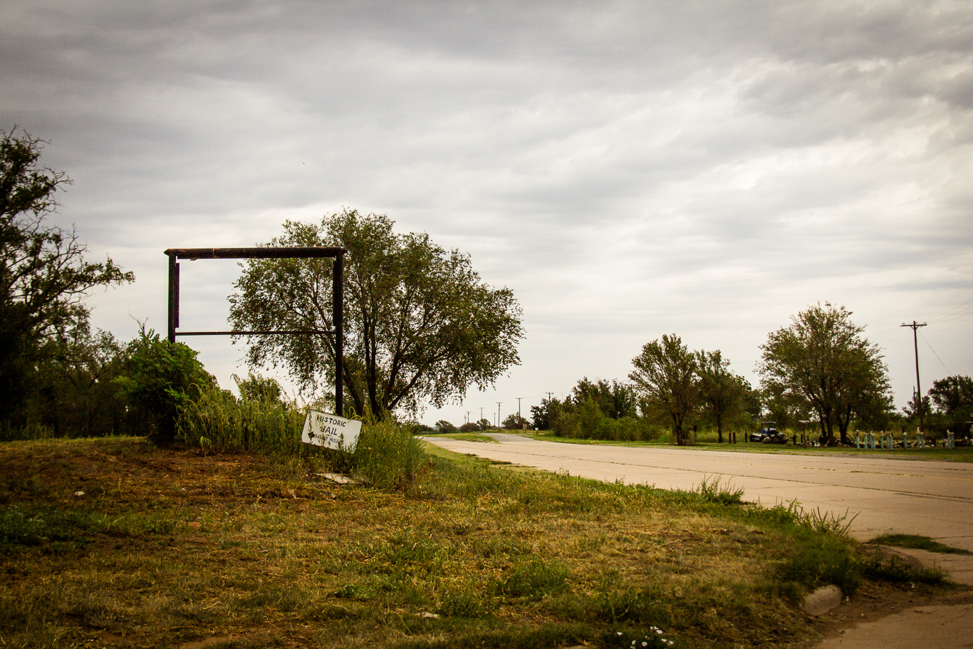
Historic trail

2010-05-12_2830

2010-05-12_2814

2010-05-12_2818

2010-05-12_2831

2010-05-12_2816

First stop in Texas

Beckham County, Oklahoma

Beckham County, Oklahoma

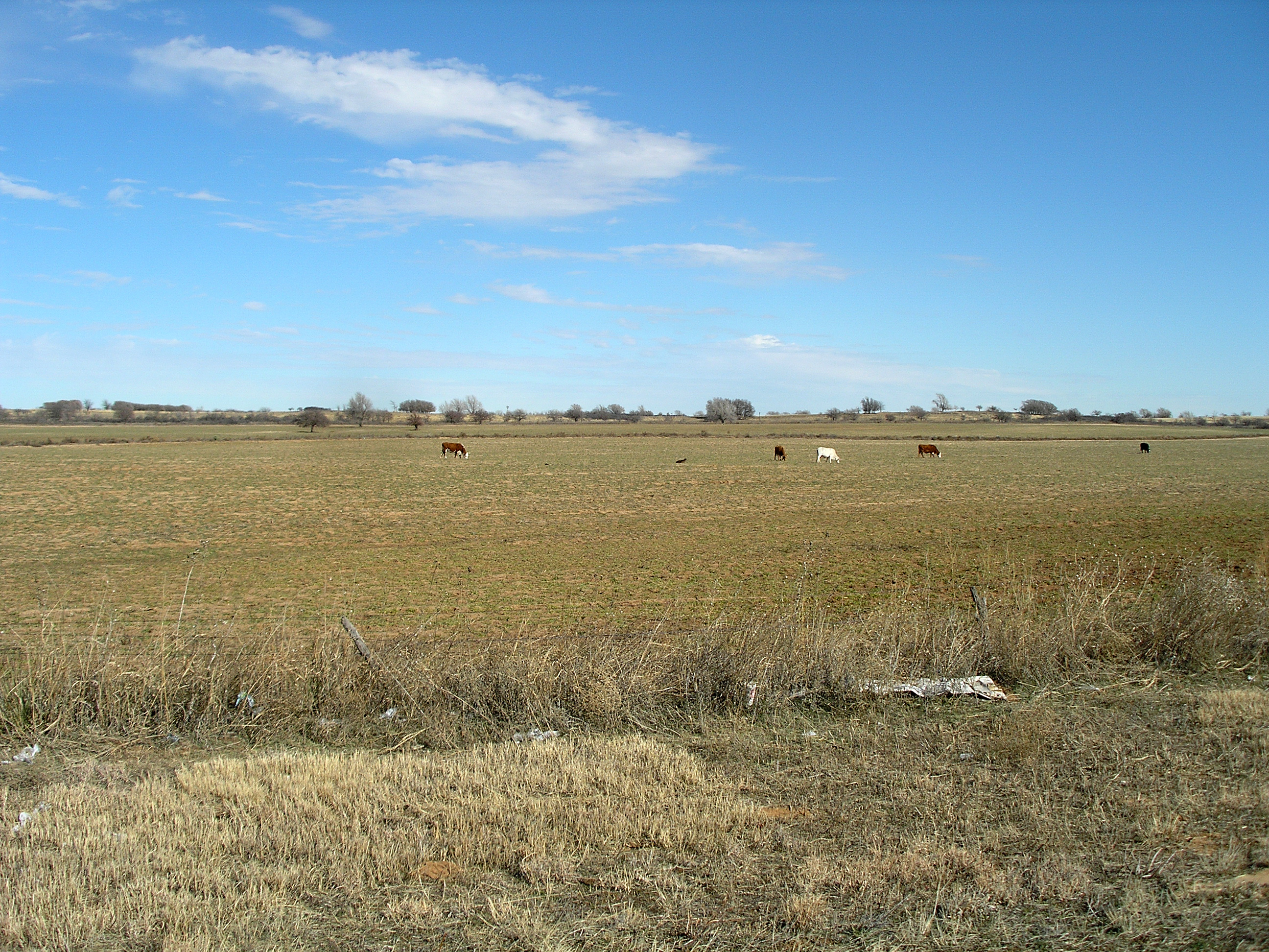
Texas, Wheeler County

Texas, Wheeler County

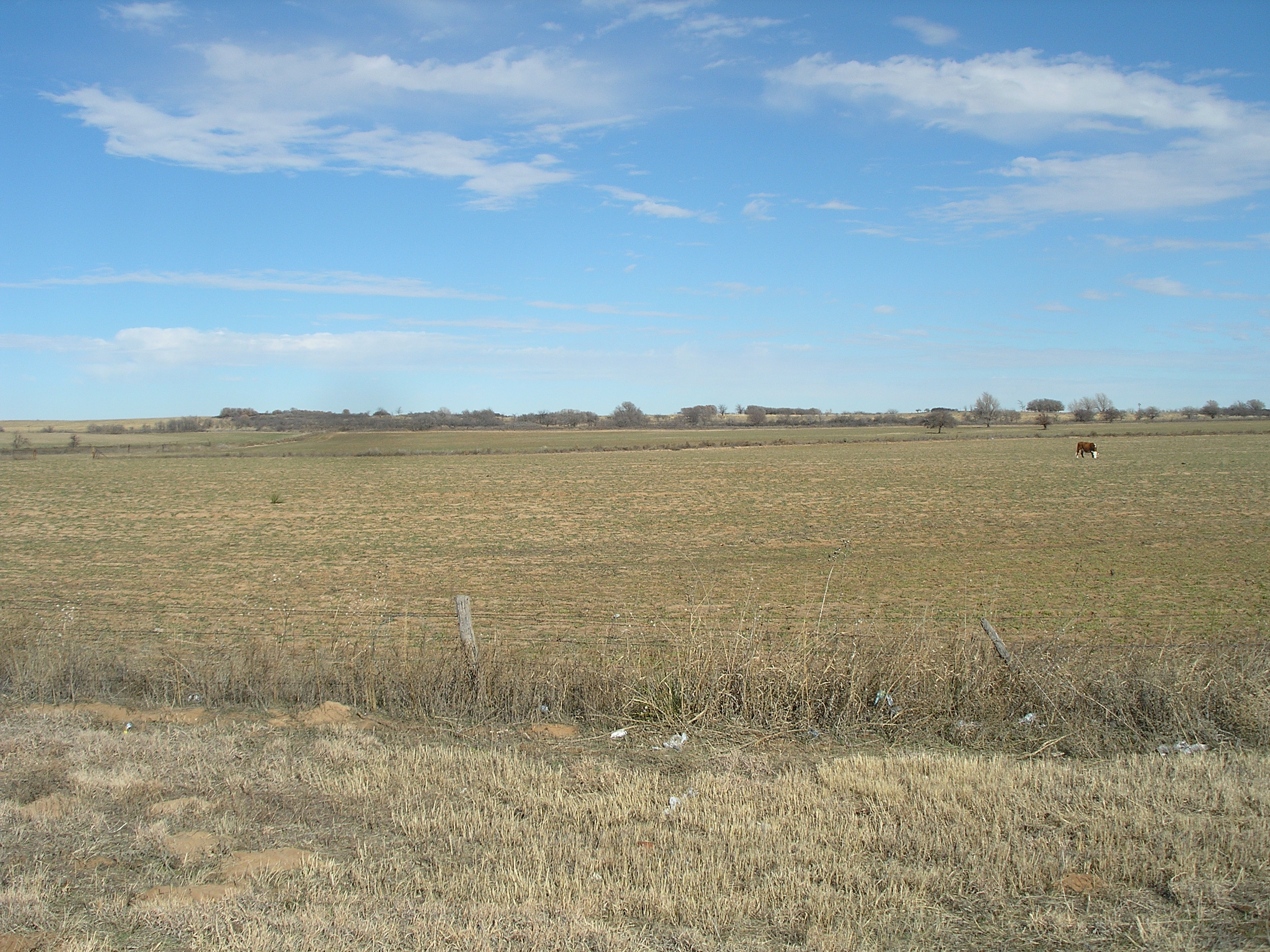
Beckham County, Oklahoma

Texas, Wheeler County

Beckham County, Oklahoma

Texas, Wheeler County

Texas, Wheeler County
CAtripDay4 (41)
CAtripDay4 (42)

CAtripDay4 (43)

CAtripDay4 (47)
Topographic Map of Benonine, TX, USA
Find elevation by address:

Places near Benonine, TX, USA:
Erick
OK-30, Erick, OK, USA
Shamrock
N Main St, Shamrock, TX, USA
Wheeler
Wheeler County
Briscoe
Mclean
300-306
Alanreed
Hemphill County
Miami
Canadian
1600 Lion St
1600 Lion St
1600 Lion St
E 9th St, Lefors, TX, USA
Lefors
Gray County
21 Main St, Higgins, TX, USA
Recent Searches:
- Elevation of Jadagoniai, Kaunas District Municipality, Lithuania
- Elevation of Pagonija rock, Kranto 7-oji g. 8"N, Kaunas, Lithuania
- Elevation of Co Rd 87, Jamestown, CO, USA
- Elevation of Tenjo, Cundinamarca, Colombia
- Elevation of Côte-des-Neiges, Montreal, QC H4A 3J6, Canada
- Elevation of Bobcat Dr, Helena, MT, USA
- Elevation of Zu den Ihlowbergen, Althüttendorf, Germany
- Elevation of Badaber, Peshawar, Khyber Pakhtunkhwa, Pakistan
- Elevation of SE Heron Loop, Lincoln City, OR, USA
- Elevation of Slanický ostrov, 01 Námestovo, Slovakia