Elevation of Alanreed, TX, USA
Location: United States > Texas > Gray County >
Longitude: -100.73430
Latitude: 35.2125494
Elevation: 923m / 3028feet
Barometric Pressure: 91KPa
Elevation Map:
Satellite Map:
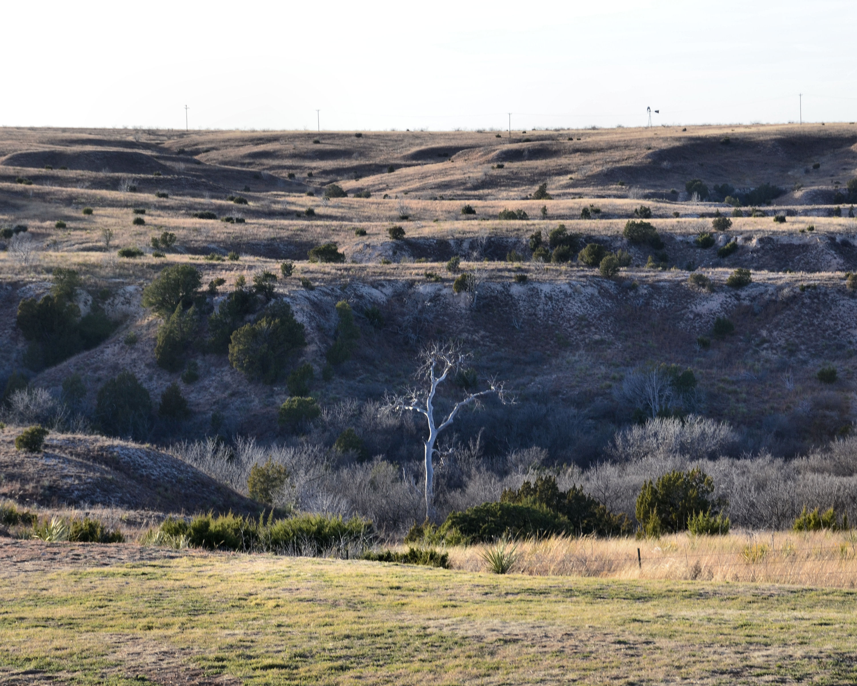
Related Photos:

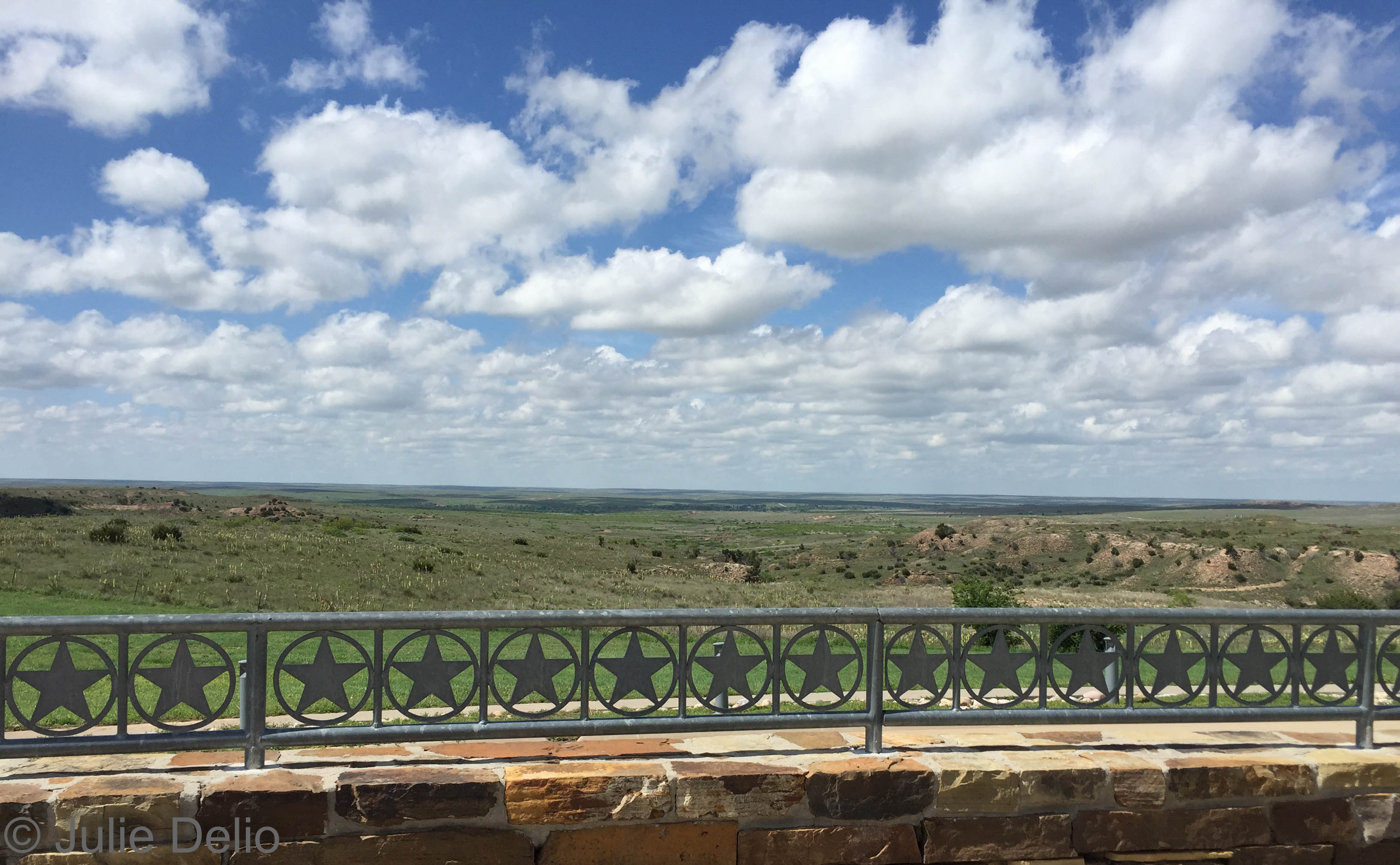
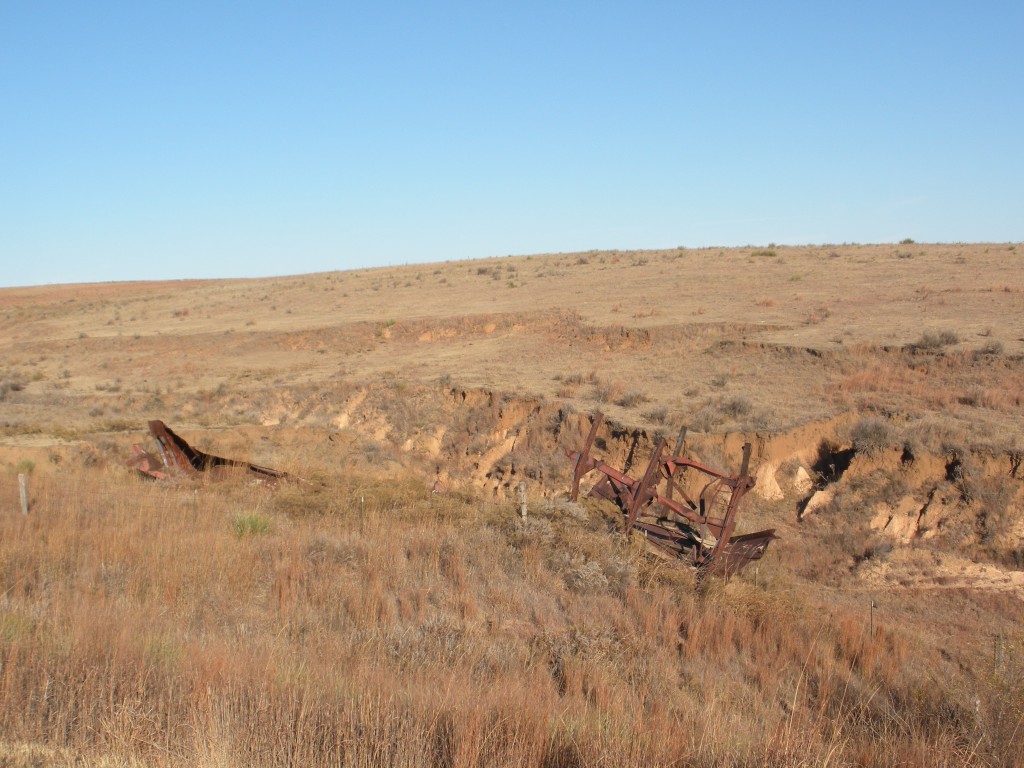
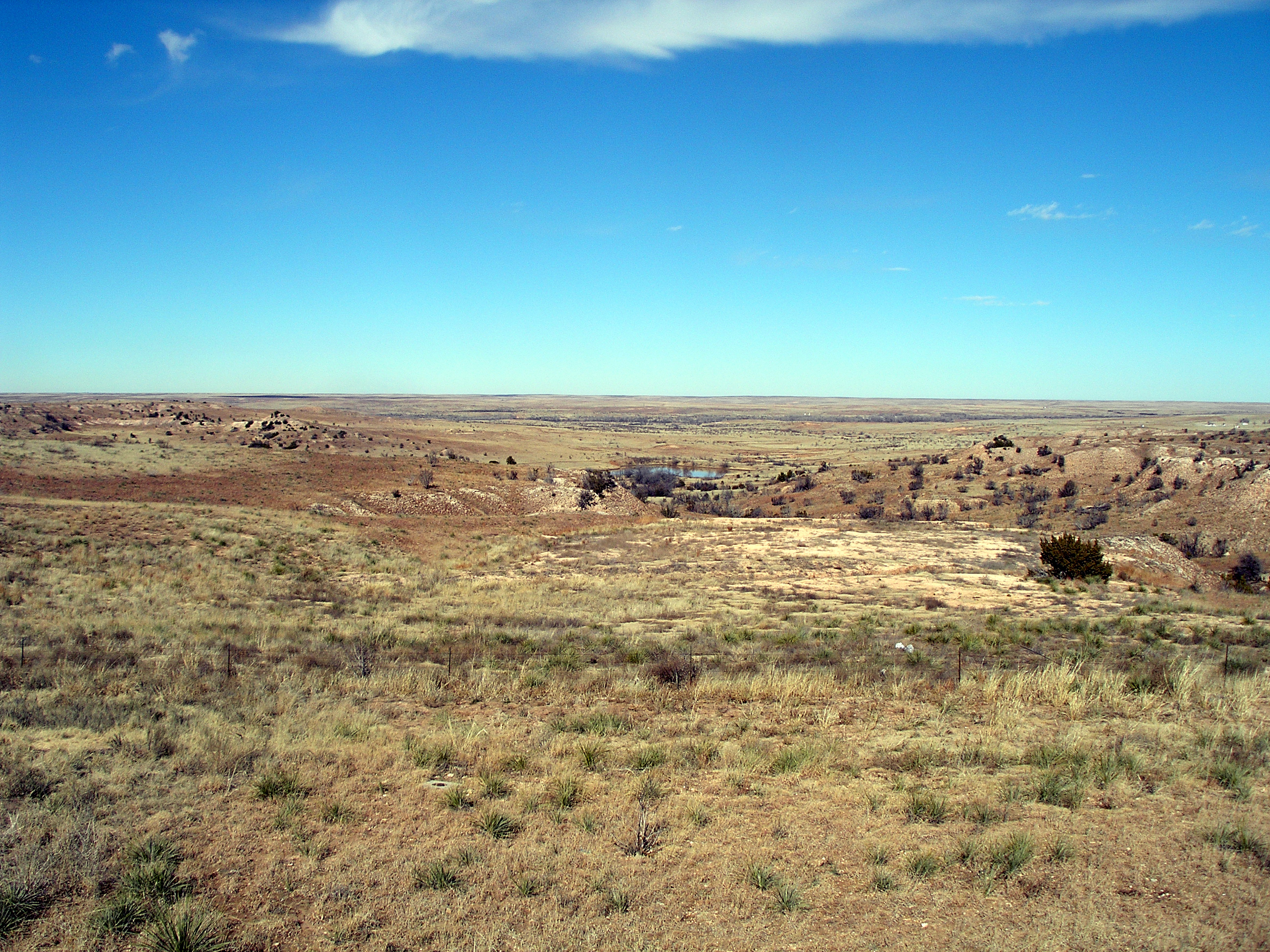
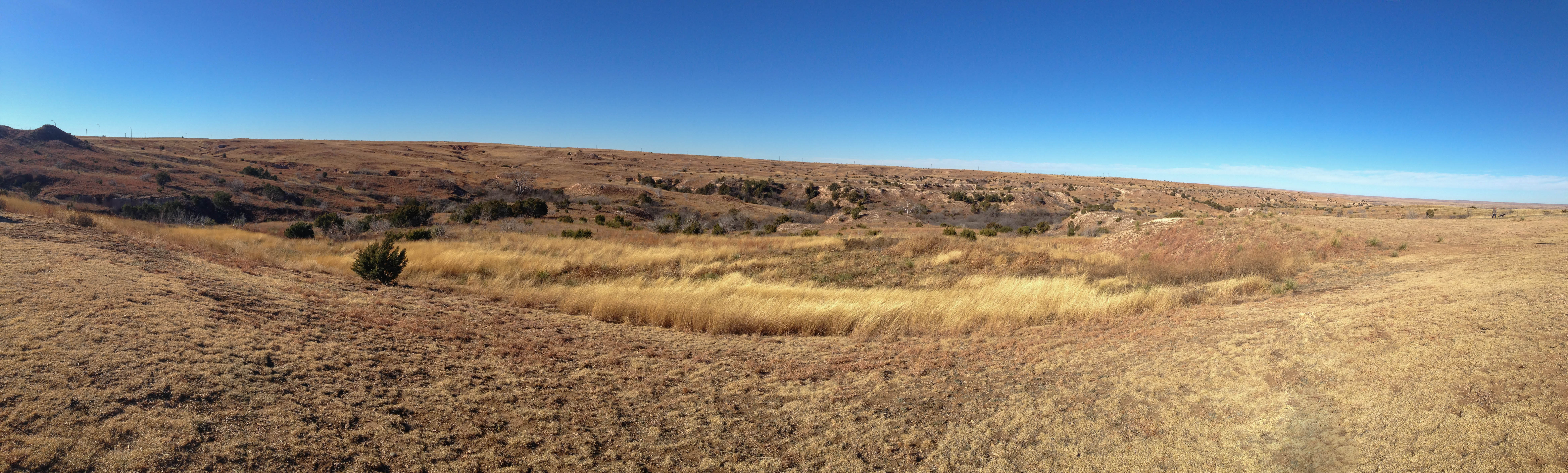
2011-10-12_7545_pano

2011-10-12_7532_pano

2011-10-12_7563_pano
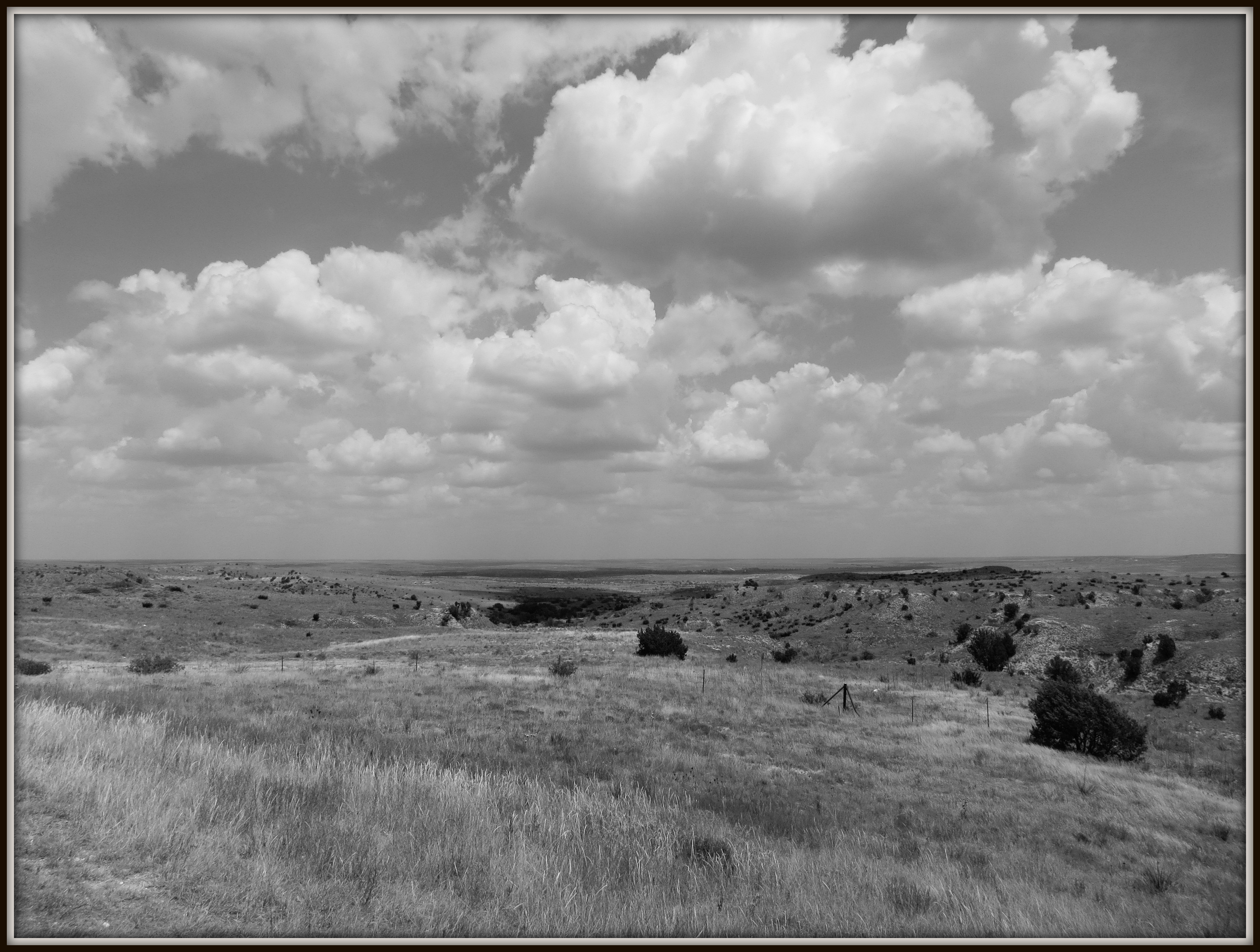
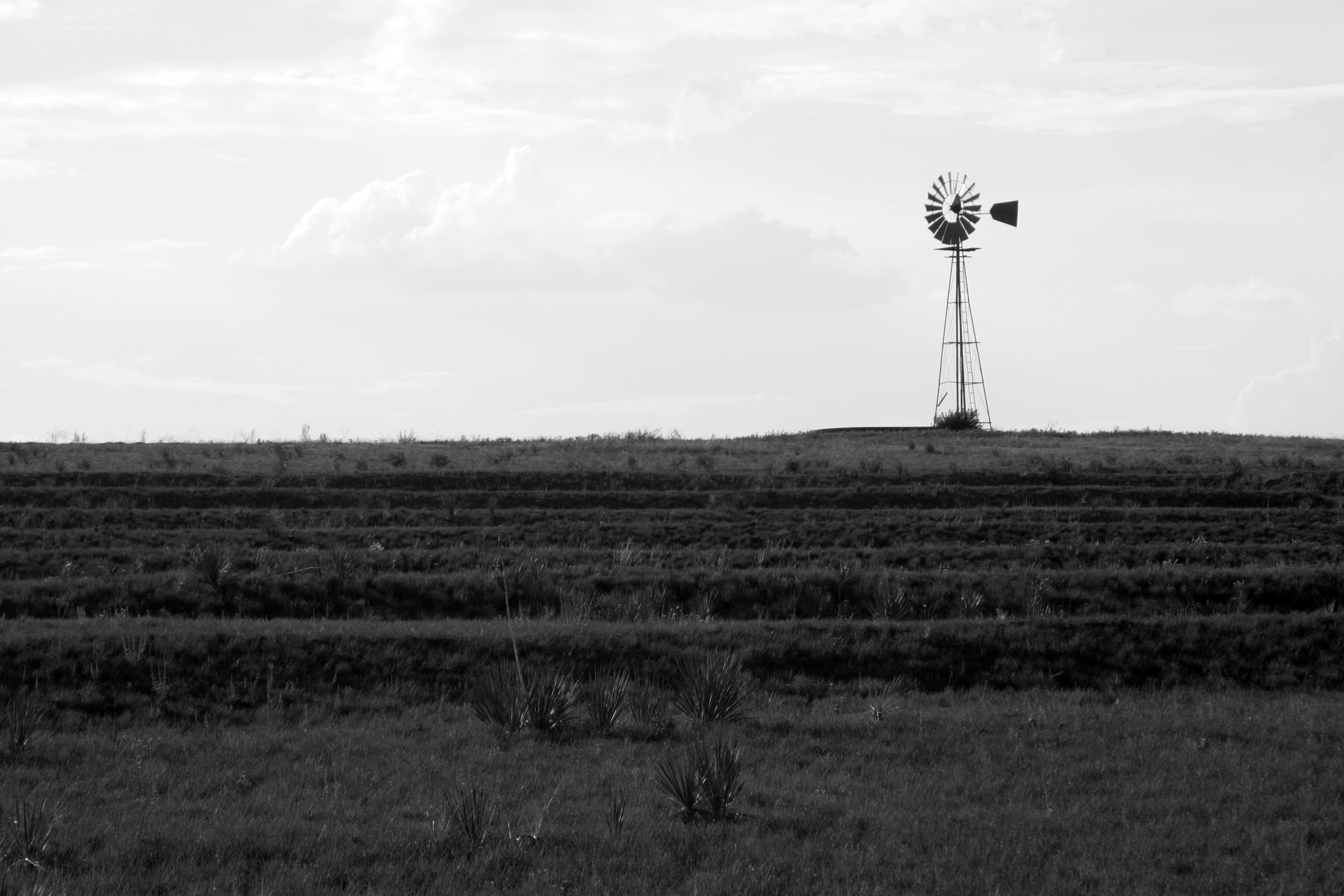
Scene Behind Gray County Safety Rest Area, Texas

Mercury Pumps 'neath the ol' Sodium Tree

Man Cave Starter Kit
121913-305F
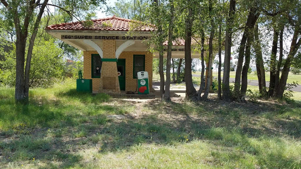
66 Super Service- Side View

2011-10-11_7522

2011-10-12_7537

2010-04-22_2780

2011-10-12_7542

01 West Texas Wheat
2012 Route 66, Vegas,Los Angeles, and Houston
20150524-IMG_3805.jpg
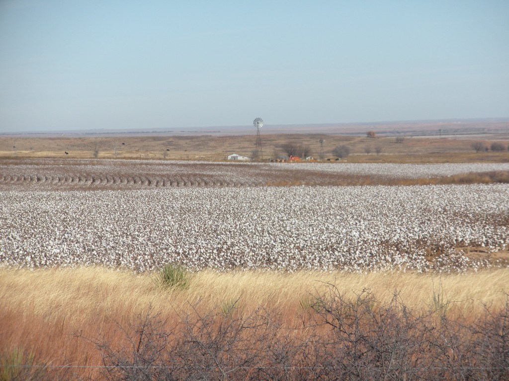
Cotton field
2012 Route 66, Vegas,Los Angeles, and Houston
121913-301F

Route 66 Oklahoma Texas
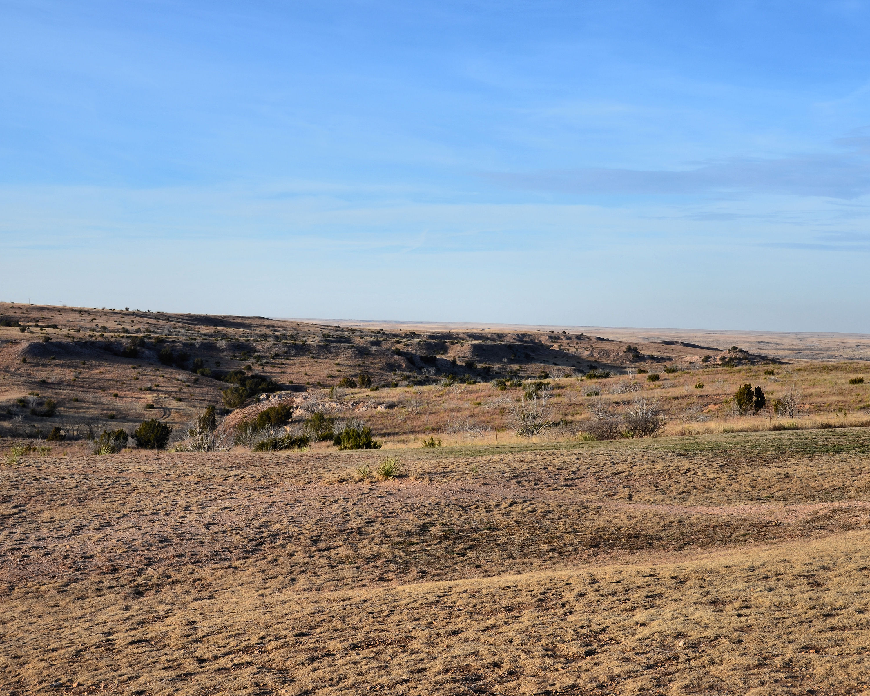
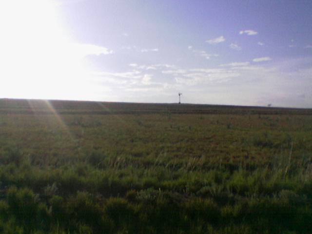
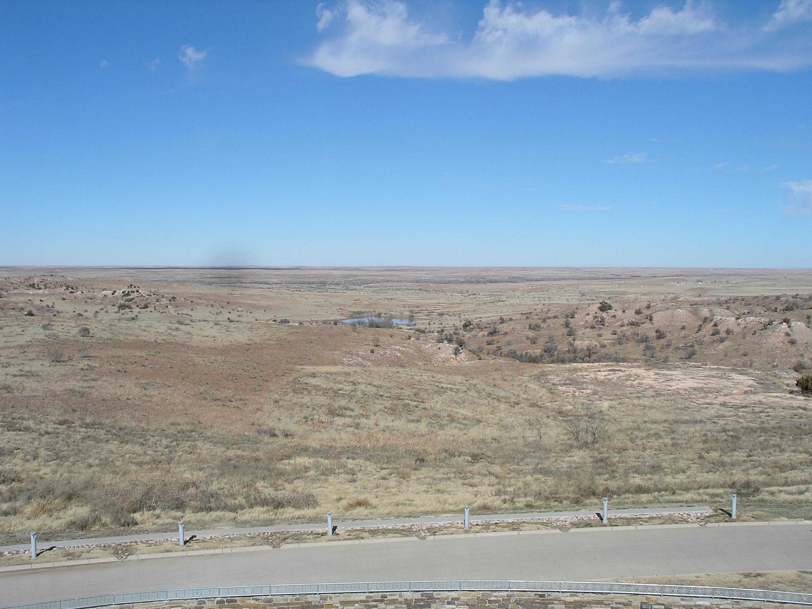
Texas plain
CAtripDay4 -2 (9)
Windy Texas Panhandle
121913-413F
Windmill, Windmill for the land, turn forever hand in hand
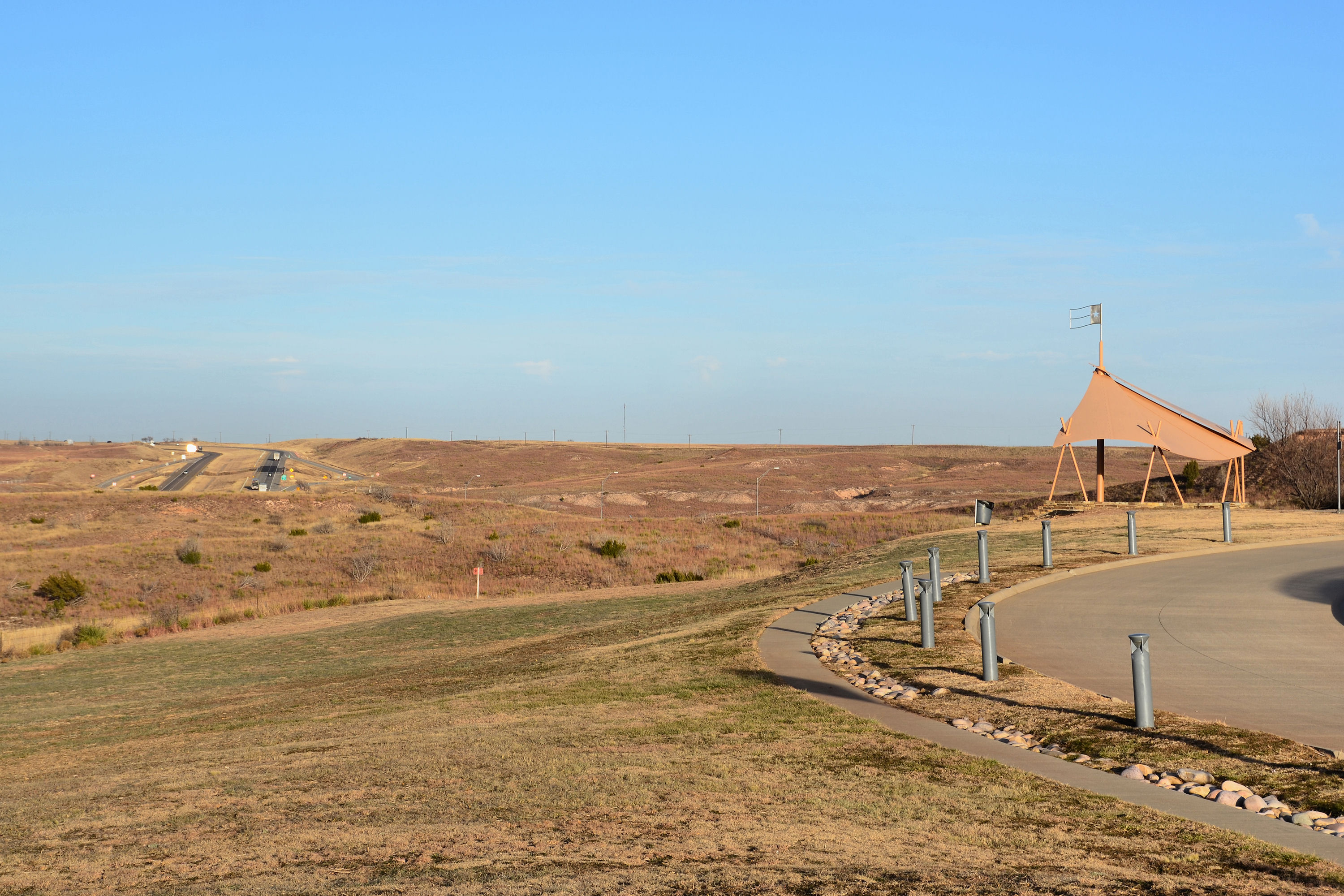
Howdy from the Texas Panhandle!
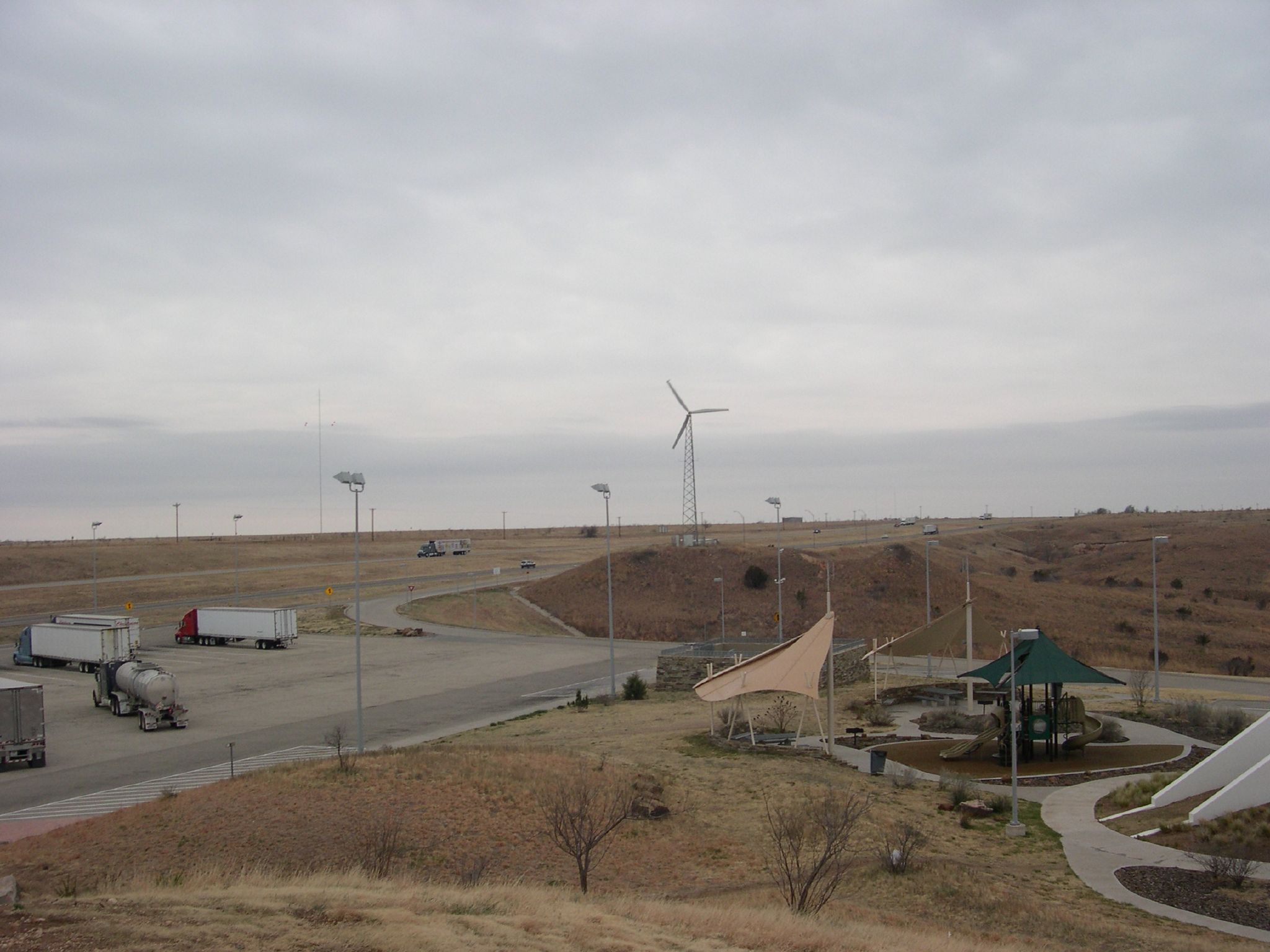
Windmill on the I-40
CAtripDay4 -2 (11)
2013-09-10 at 13-13-09
Topographic Map of Alanreed, TX, USA
Find elevation by address:

Places near Alanreed, TX, USA:
300-306
Mclean
Gray County
Lefors
E 9th St, Lefors, TX, USA
Groom
Pampa
1901 Tx-70
Wheeler County
US-60, Pampa, TX, USA
N Main St, Shamrock, TX, USA
Shamrock
Miami
1600 Lion St
1600 Lion St
1600 Lion St
Wheeler
Skellytown
Briscoe
Roberts County
Recent Searches:
- Elevation of Jadagoniai, Kaunas District Municipality, Lithuania
- Elevation of Pagonija rock, Kranto 7-oji g. 8"N, Kaunas, Lithuania
- Elevation of Co Rd 87, Jamestown, CO, USA
- Elevation of Tenjo, Cundinamarca, Colombia
- Elevation of Côte-des-Neiges, Montreal, QC H4A 3J6, Canada
- Elevation of Bobcat Dr, Helena, MT, USA
- Elevation of Zu den Ihlowbergen, Althüttendorf, Germany
- Elevation of Badaber, Peshawar, Khyber Pakhtunkhwa, Pakistan
- Elevation of SE Heron Loop, Lincoln City, OR, USA
- Elevation of Slanický ostrov, 01 Námestovo, Slovakia