Elevation of OK-30, Erick, OK, USA
Location: United States > Oklahoma > Beckham County > Erick >
Longitude: -99.866458
Latitude: 35.2153266
Elevation: 629m / 2064feet
Barometric Pressure: 94KPa
Elevation Map:
Satellite Map:
Related Photos:

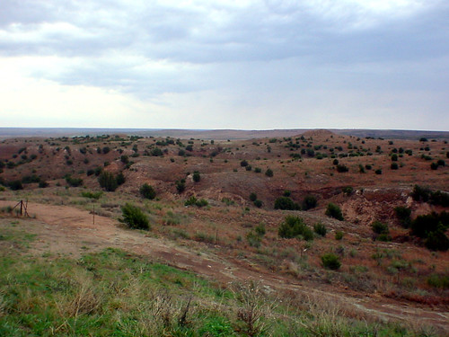
View from the Highway

Road Trip 201212050065

2010-05-12_2825

2010-05-12_2831

2010-05-12_2830

Truck_112012_LR-170.jpg

2010-05-12_2818

Truck_112012_LR-173.jpg

Truck_112012_LR-171.jpg

2010-05-12_2816

2010-05-12_2814

Truck_112012_LR-162.jpg

Truck_112012_LR-161.jpg

Historic trail

Oklahoma/Texas Border

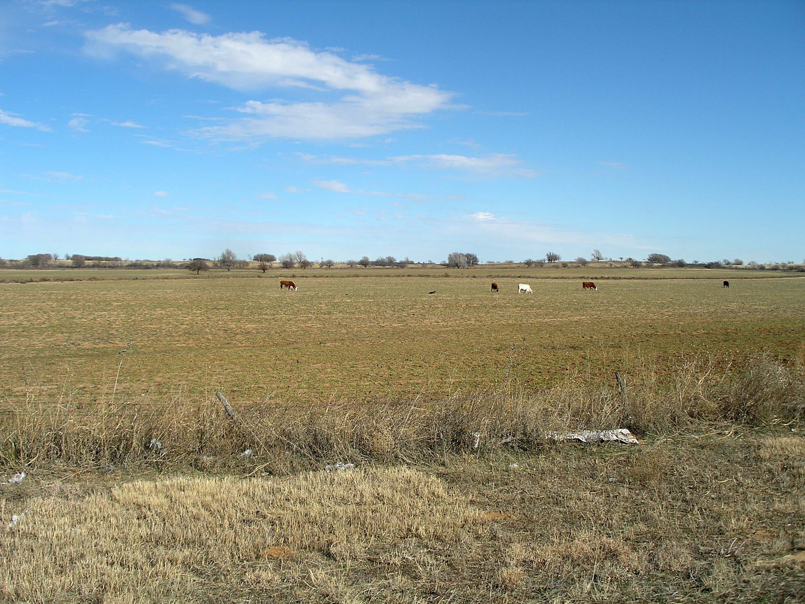
CAtripDay4 (47)
First stop in Texas
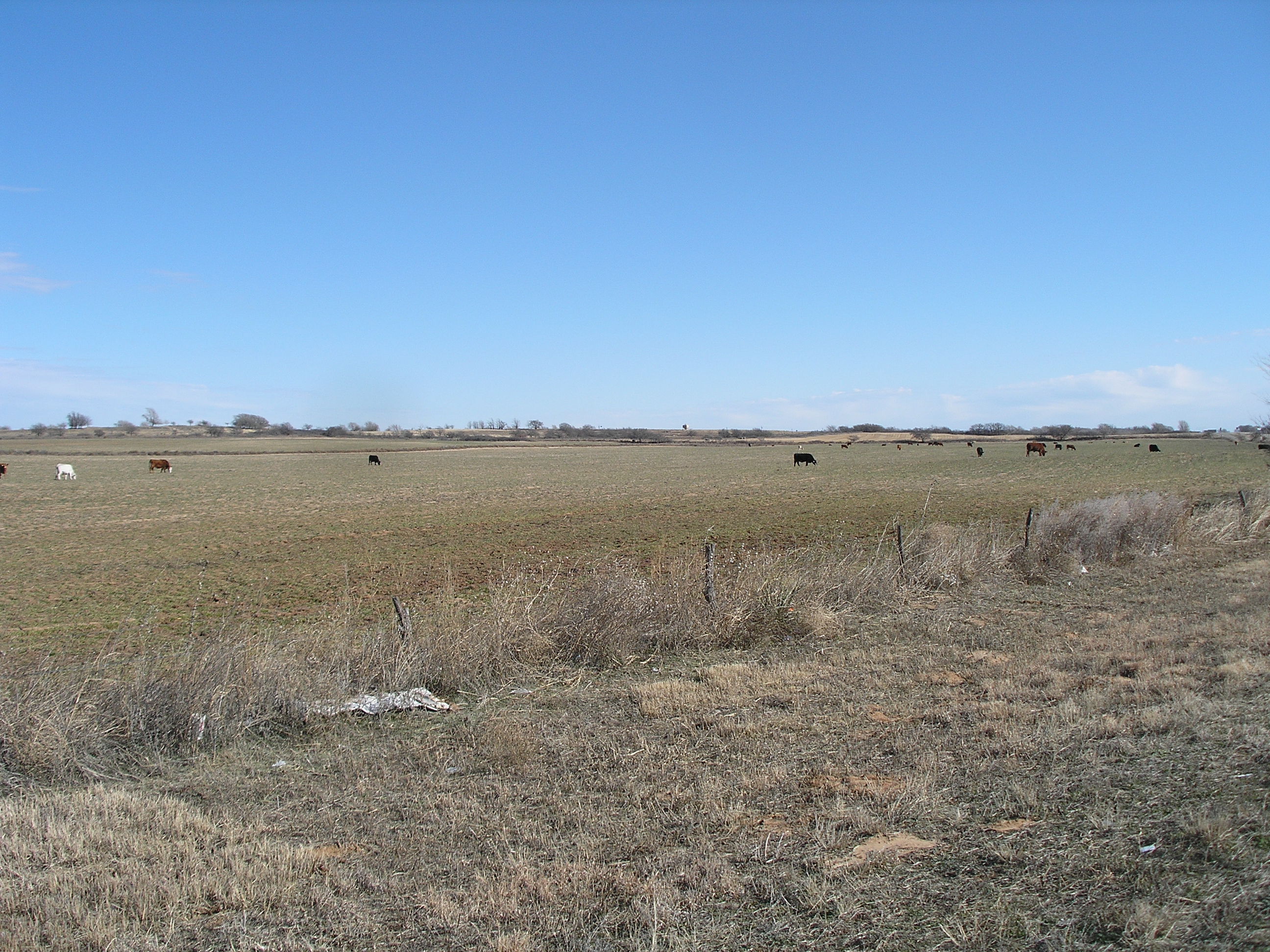
CAtripDay4 (41)

CAtripDay4 (42)
CAtripDay4 (43)
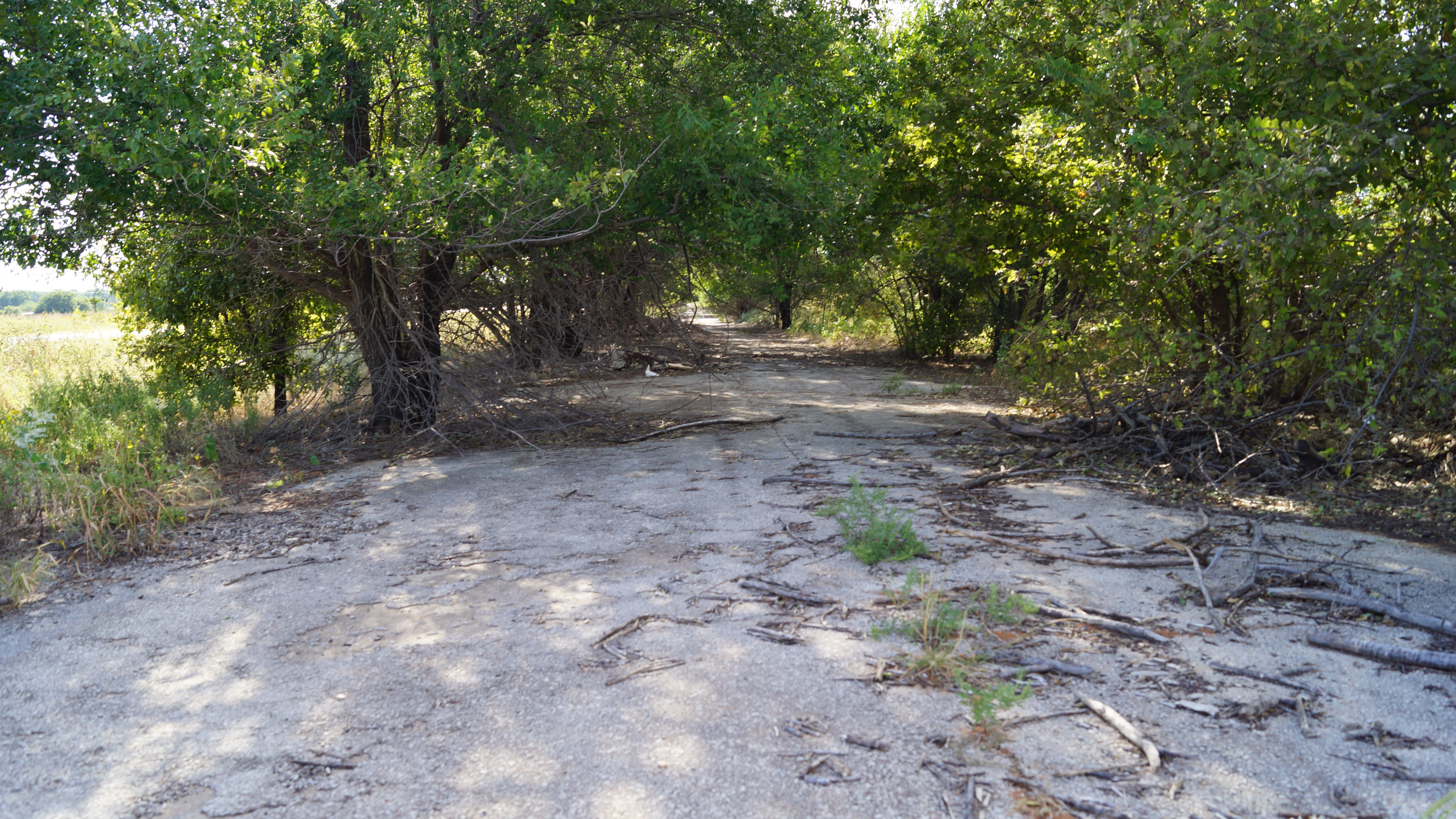
Abandoned Route 66
Topographic Map of OK-30, Erick, OK, USA
Find elevation by address:

Places near OK-30, Erick, OK, USA:
Erick
Benonine
Shamrock
N Main St, Shamrock, TX, USA
Wheeler
Wheeler County
Briscoe
Mclean
300-306
Hemphill County
Canadian
Alanreed
Miami
1600 Lion St
1600 Lion St
1600 Lion St
21 Main St, Higgins, TX, USA
E 9th St, Lefors, TX, USA
Lefors
Gray County
Recent Searches:
- Elevation of Warwick, RI, USA
- Elevation of Fern Rd, Whitmore, CA, USA
- Elevation of 62 Abbey St, Marshfield, MA, USA
- Elevation of Fernwood, Bradenton, FL, USA
- Elevation of Felindre, Swansea SA5 7LU, UK
- Elevation of Leyte Industrial Development Estate, Isabel, Leyte, Philippines
- Elevation of W Granada St, Tampa, FL, USA
- Elevation of Pykes Down, Ivybridge PL21 0BY, UK
- Elevation of Jalan Senandin, Lutong, Miri, Sarawak, Malaysia
- Elevation of Bilohirs'k