Elevation of Beech St, Arlington, OR, USA
Location: United States > Oregon >
Longitude: -120.20285
Latitude: 45.7188549
Elevation: 87m / 285feet
Barometric Pressure: 100KPa
Elevation Map:
Satellite Map:
Related Photos:

The view from Sundale Park

Windmills in the Columbia River Gorge
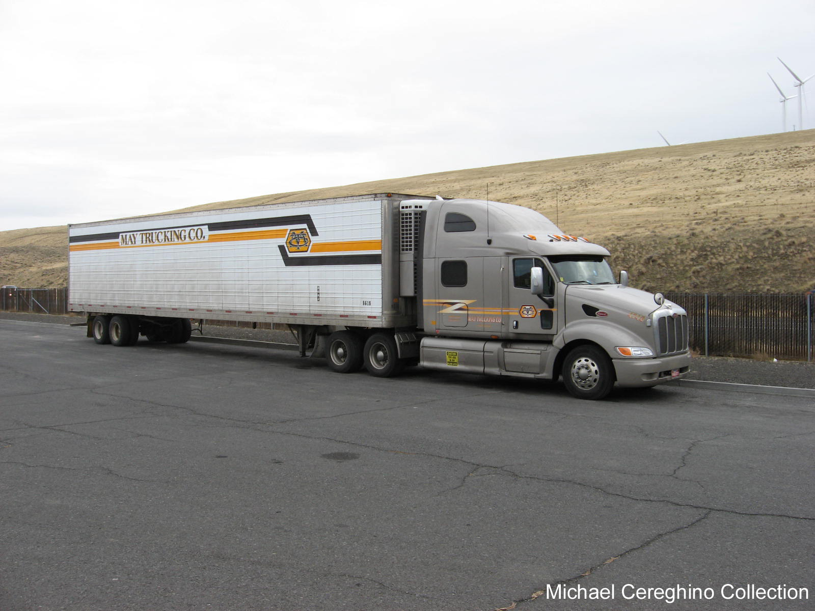
May Trucking Peterbilt 387 with older Reefer trailer, Truck 4740
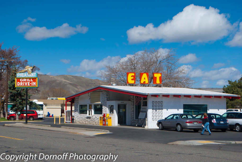
Pheasant Grill Drive-In Arlington, Oregon

Windmills in the Columbia River Gorge
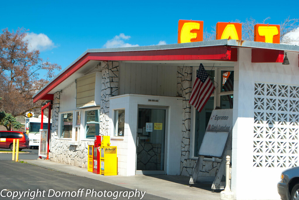
Pheasant Grill Drive-In Arlington, Oregon
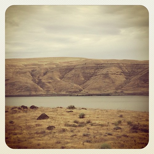
Columbia River. Better views than the Arkansas... #oregon #roadtrip
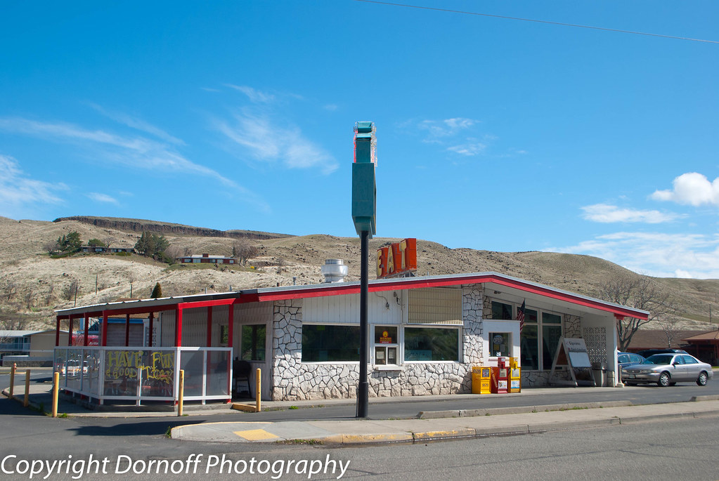
Pheasant Grill Drive-In Arlington, Oregon
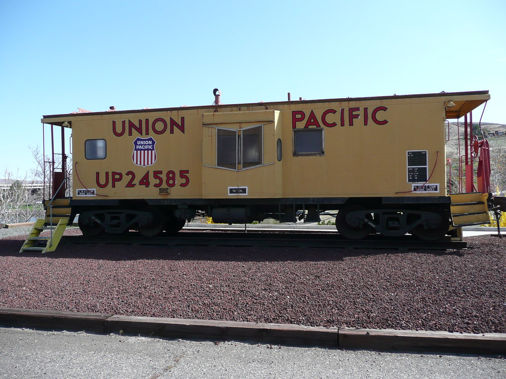
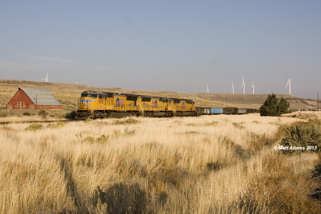
Union Pacific
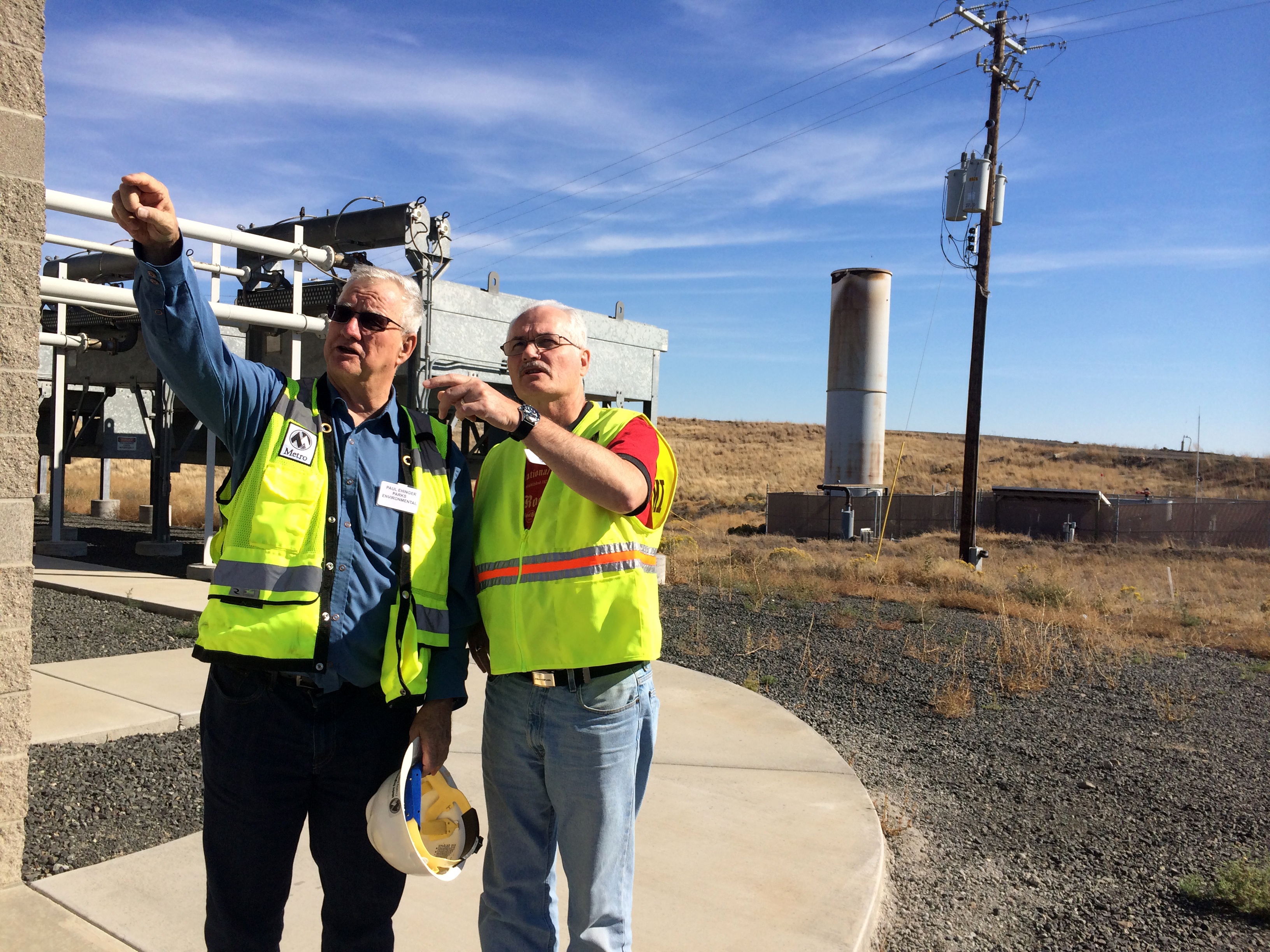
On site

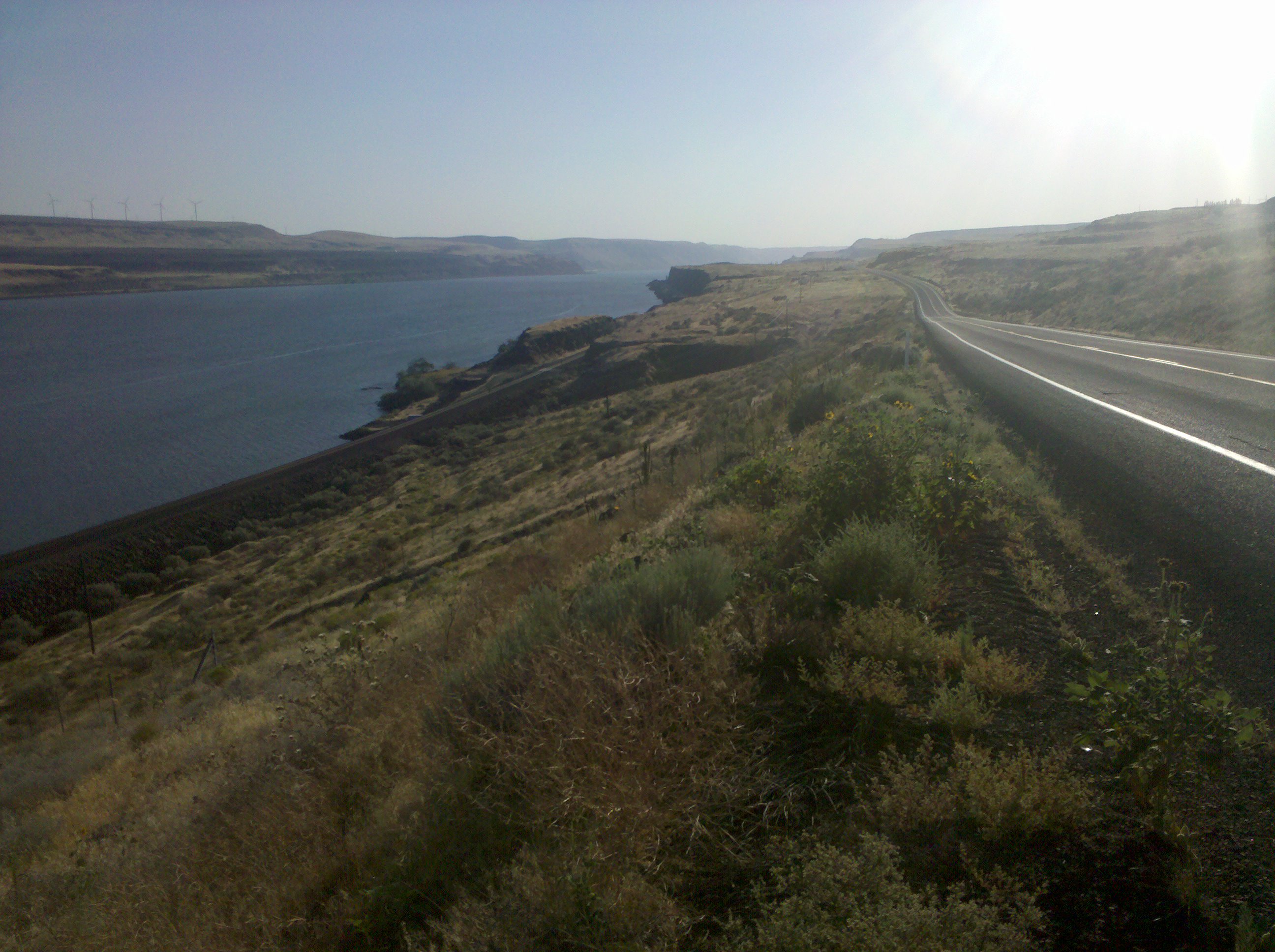
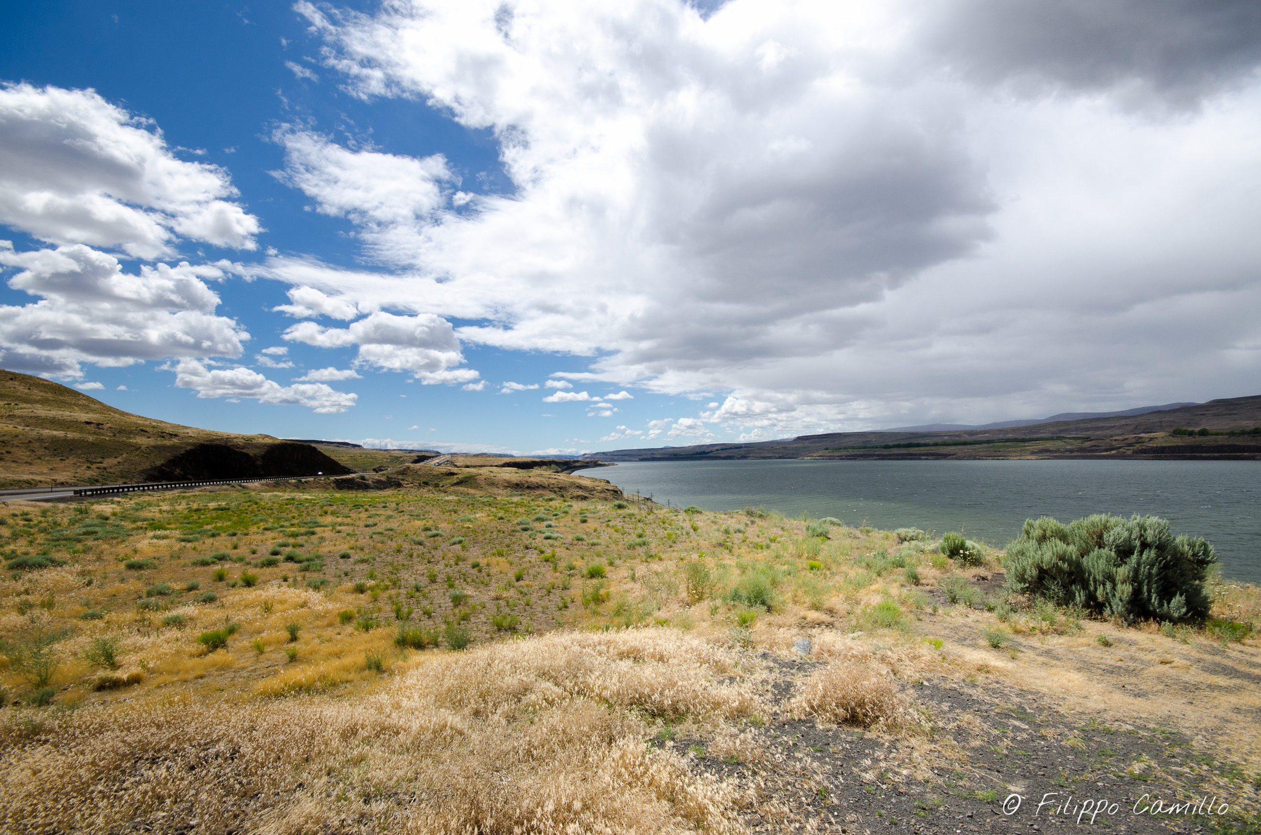
Columbia River View
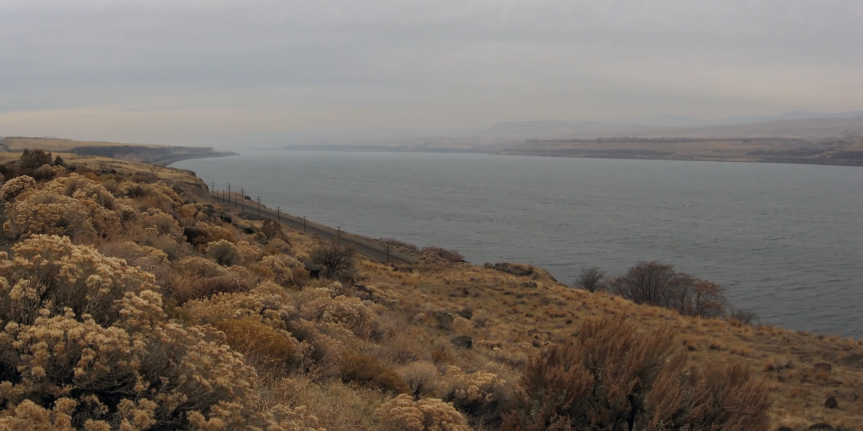
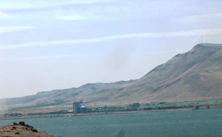
Columbia River at Arlington
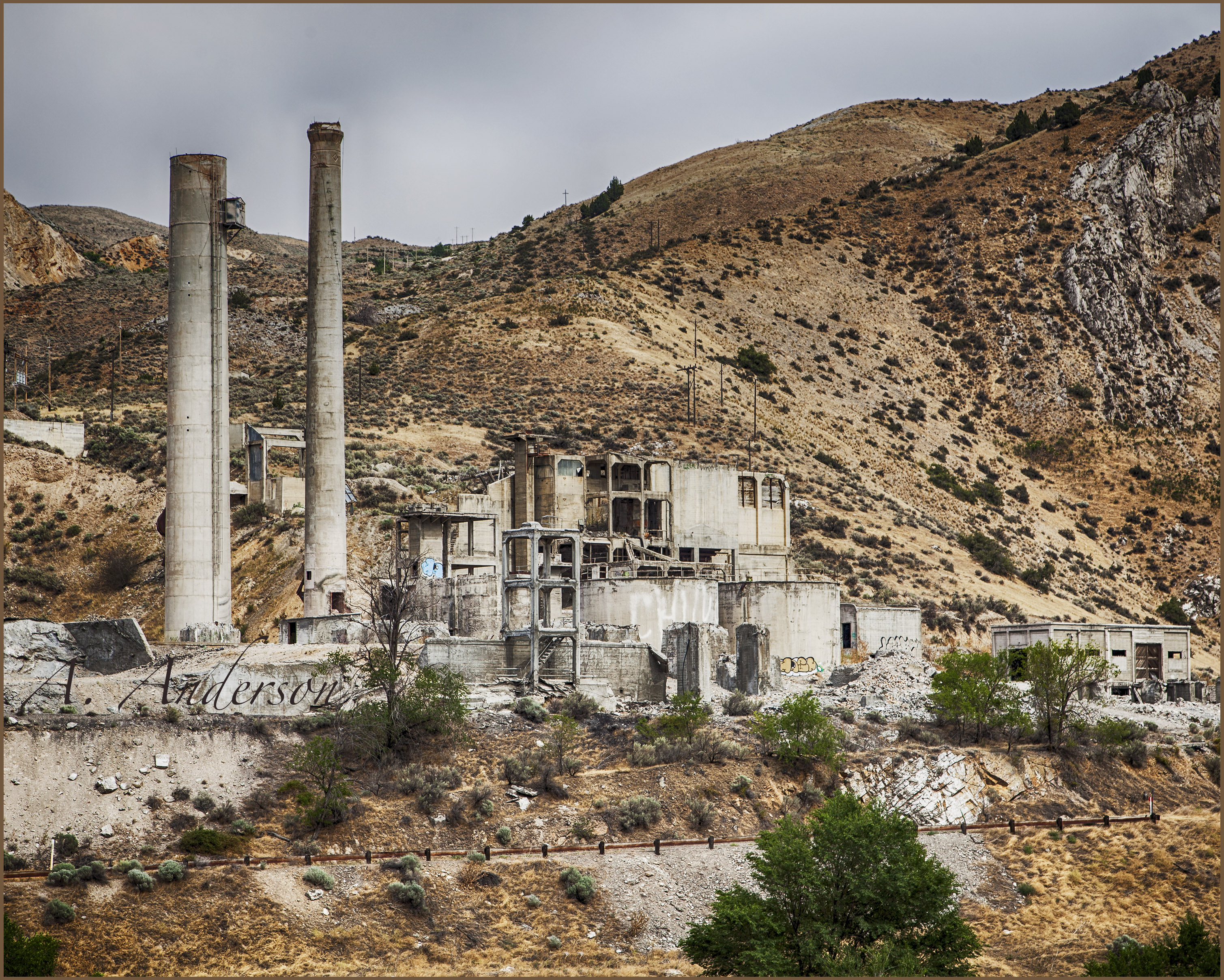
Deserted Cement Plant
Late afternoon on the Columbia
There is a naked person in this photo
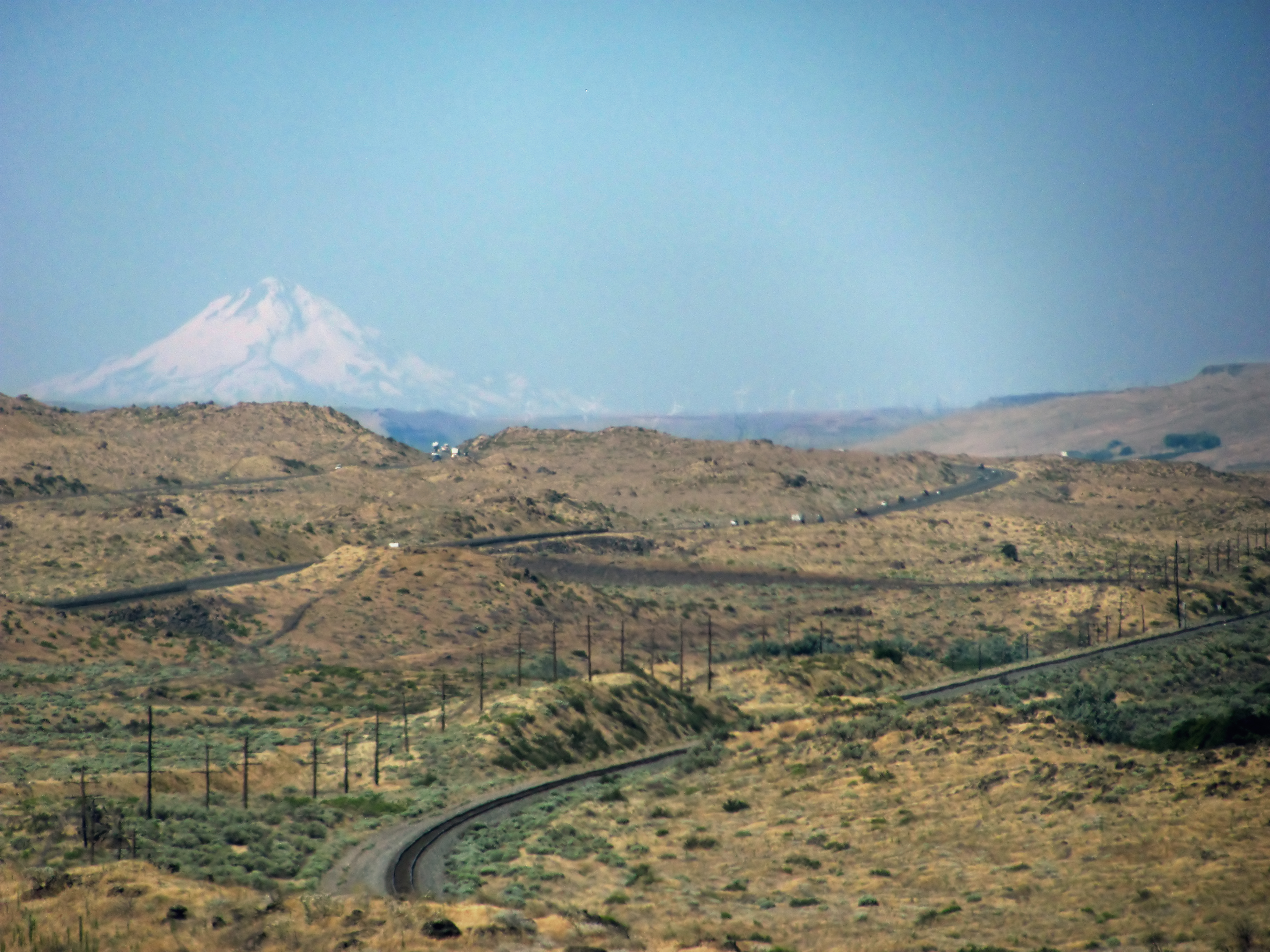
Oregon desert and Mount Hood

There they are again
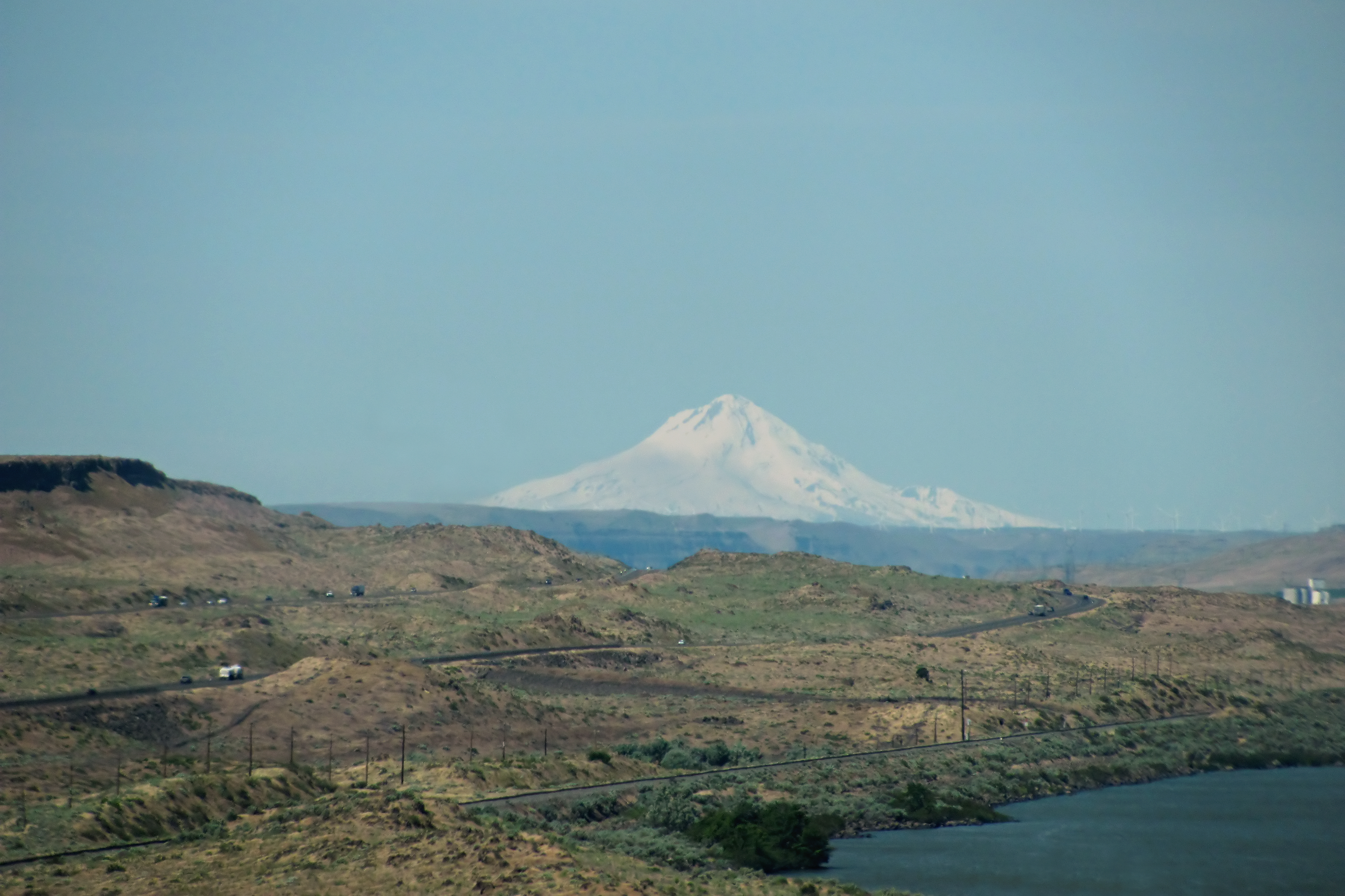
Mount Hood and Oregon desert

White wind turbines mark buried farmlands

Interstates are for chumps

Seattle - Yellowstone-8420.jpg
Seattle - Yellowstone-8419.jpg
Seattle - Yellowstone-8416.jpg

Why I shoot film

2012-ROADTRIP38-Windmills2

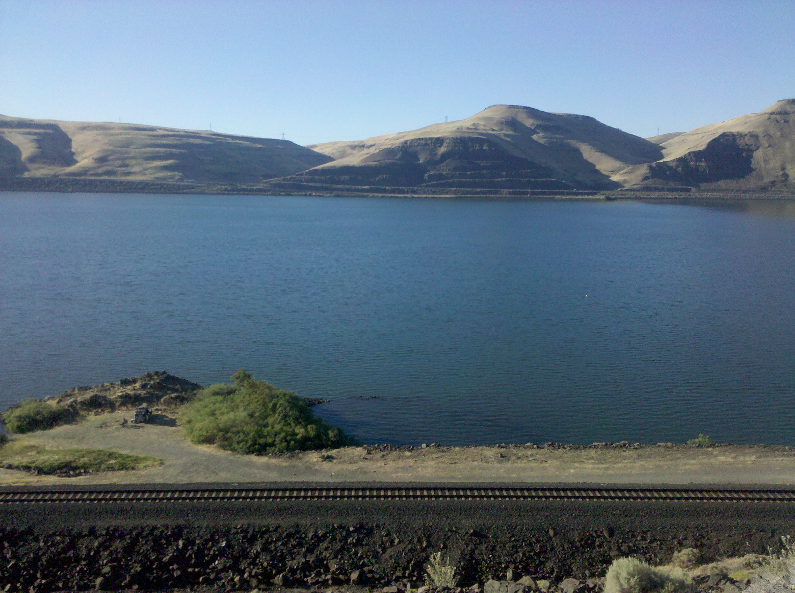
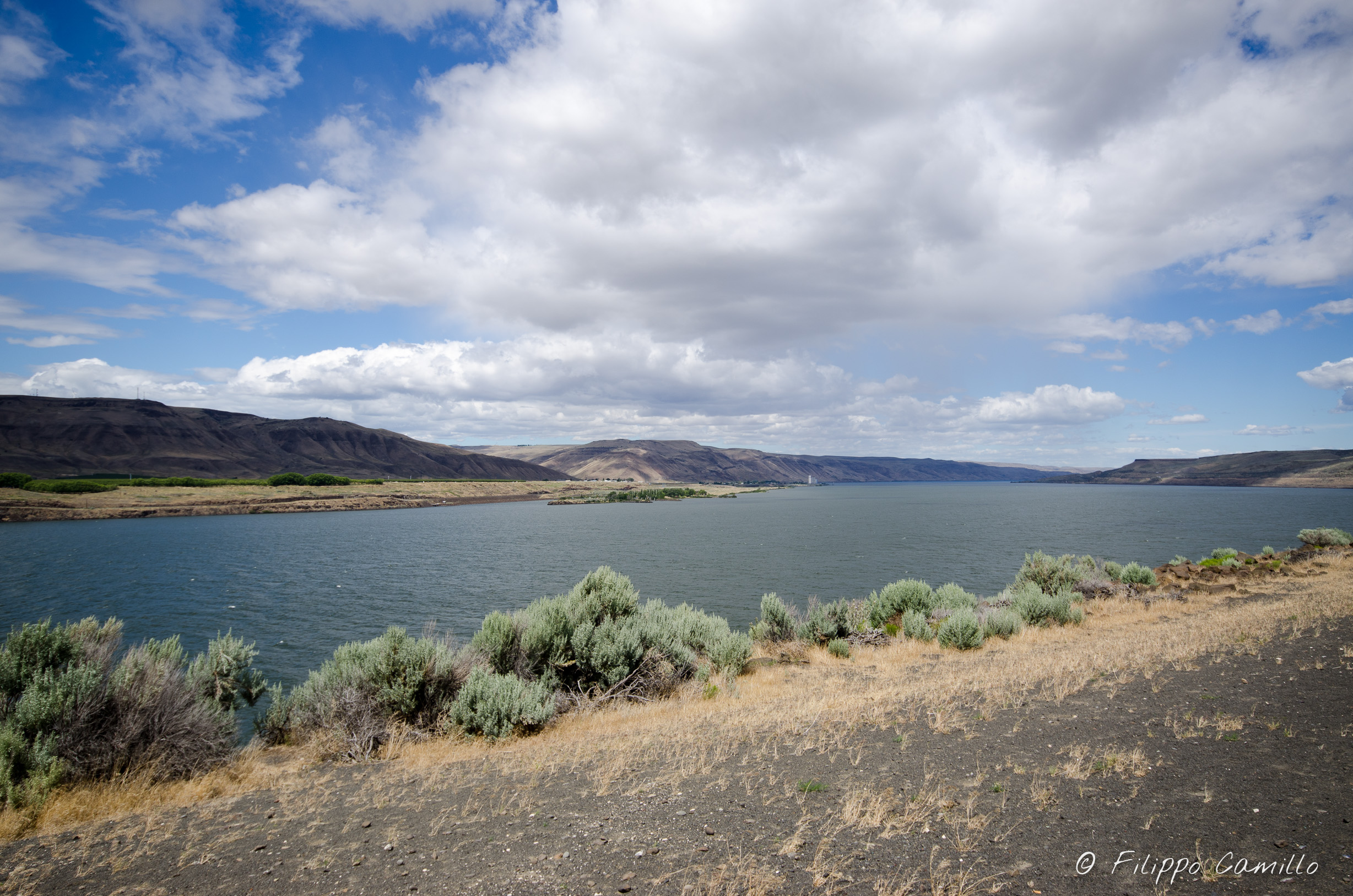
Columbia River at Blalock Canyon
PCC USEGL

the gorge
Day 5: Oregon!
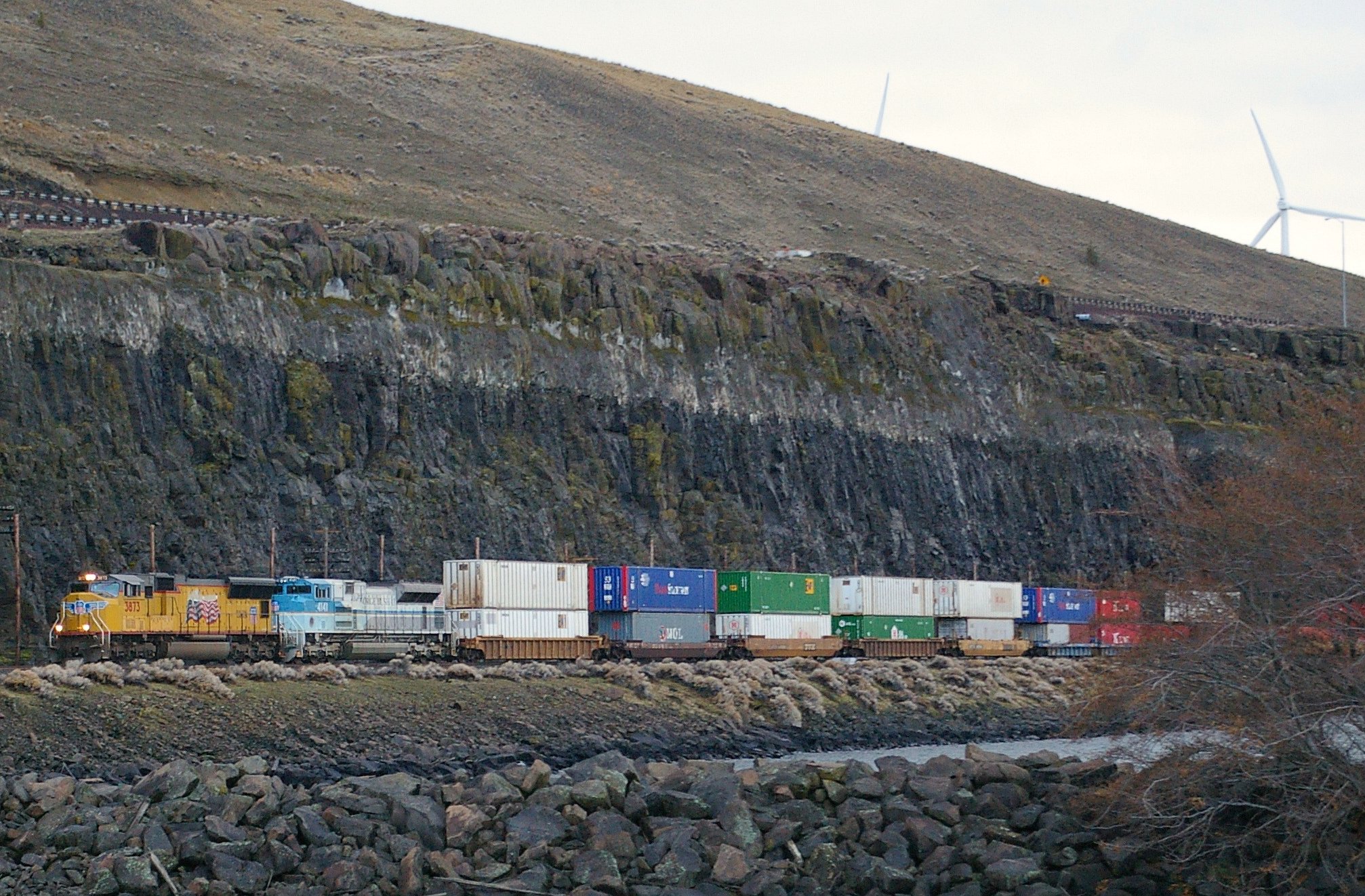
Eastbound 'stacker
Topographic Map of Beech St, Arlington, OR, USA
Find elevation by address:

Places near Beech St, Arlington, OR, USA:
1470 Proctor Rd
Roosevelt
Roosevelt
Skyline Ave, Roosevelt, WA, USA
Gilliam County
Bickleton
73396 Tower Rd
Bickleton Ridge
1156 Ownby Rd
Badger Gulch Road
Condon
256 Hawks Wind Rd
256 Hawks Wind Rd
Munson Prairie Road
Toppenish, WA, USA
28 Payne Ln
Clark St, Wasco, OR, USA
Wasco
Boardman
Trowbridge Road
Recent Searches:
- Elevation of Corso Fratelli Cairoli, 35, Macerata MC, Italy
- Elevation of Tallevast Rd, Sarasota, FL, USA
- Elevation of 4th St E, Sonoma, CA, USA
- Elevation of Black Hollow Rd, Pennsdale, PA, USA
- Elevation of Oakland Ave, Williamsport, PA, USA
- Elevation of Pedrógão Grande, Portugal
- Elevation of Klee Dr, Martinsburg, WV, USA
- Elevation of Via Roma, Pieranica CR, Italy
- Elevation of Tavkvetili Mountain, Georgia
- Elevation of Hartfords Bluff Cir, Mt Pleasant, SC, USA