Elevation of Proctor Rd, Arlington, OR, USA
Location: United States > Oregon > Gilliam County >
Longitude: -120.19656
Latitude: 45.7082922
Elevation: 155m / 509feet
Barometric Pressure: 99KPa
Elevation Map:
Satellite Map:
Related Photos:
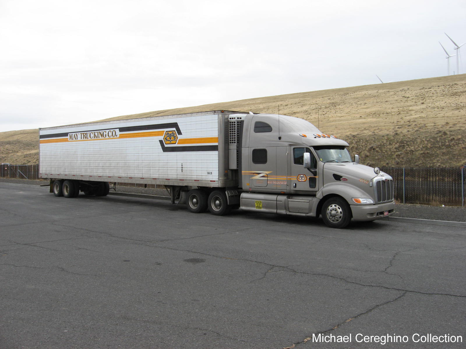
May Trucking Peterbilt 387 with older Reefer trailer, Truck 4740
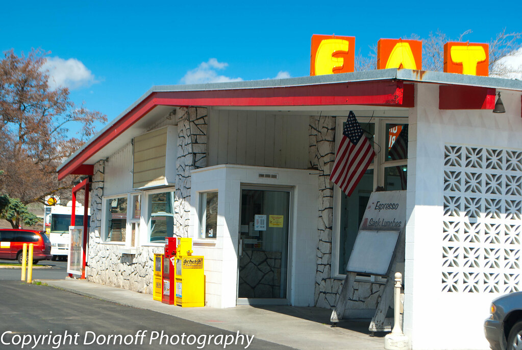
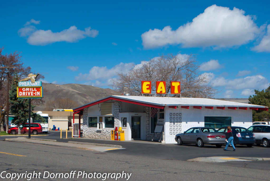
Pheasant Grill Drive-In Arlington, Oregon

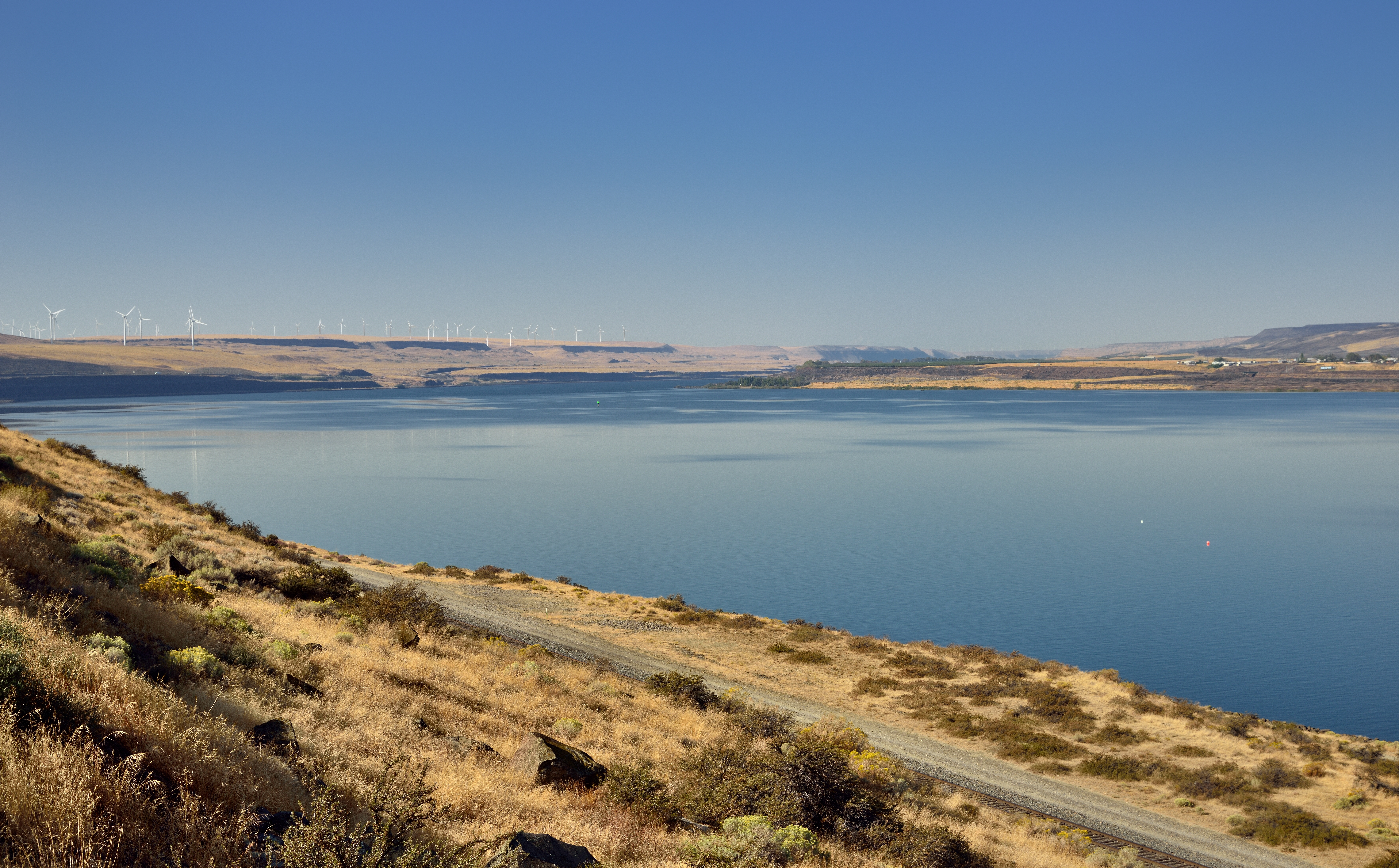
Windmills in the Columbia River Gorge
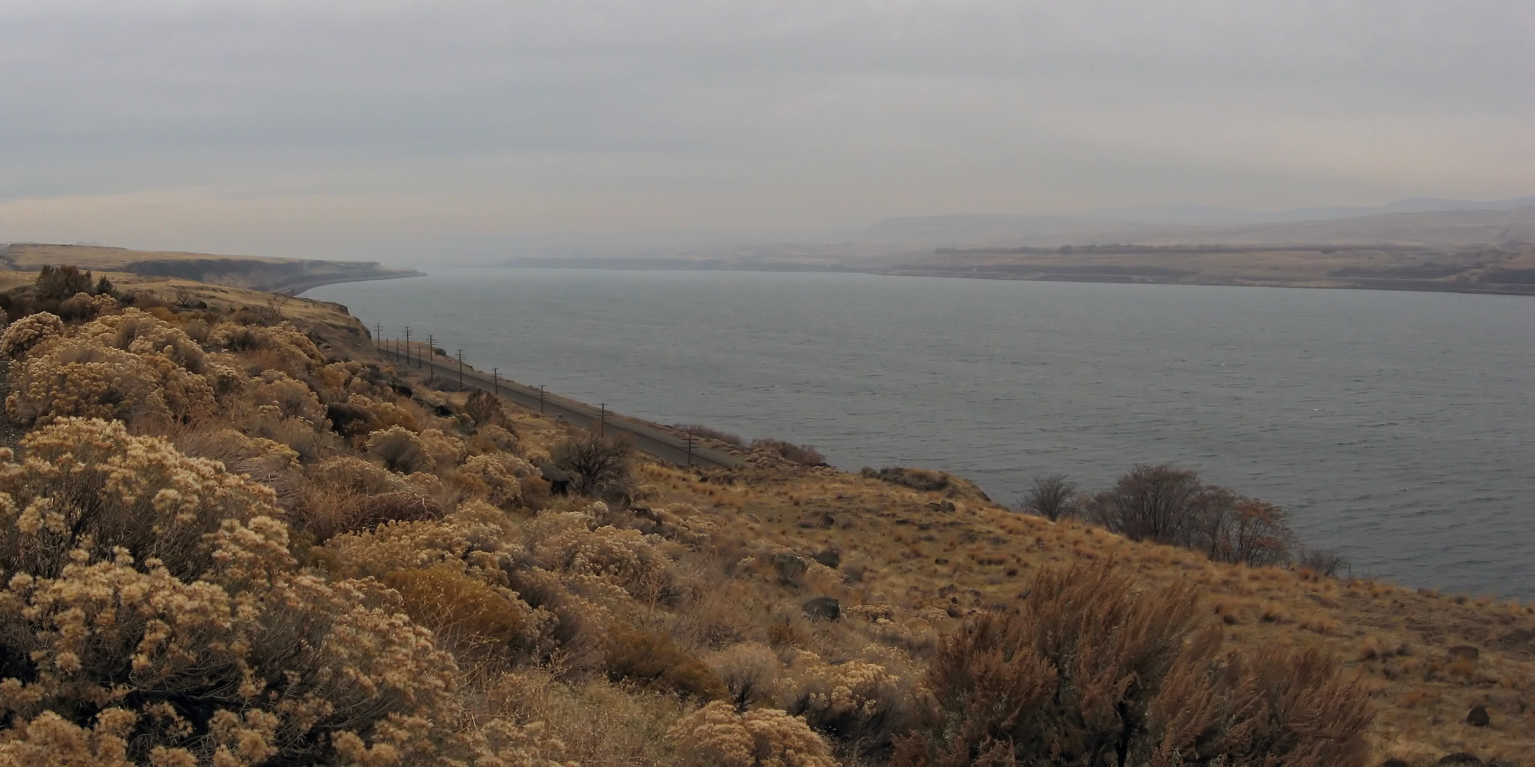
A Scenic View of the Columbia River
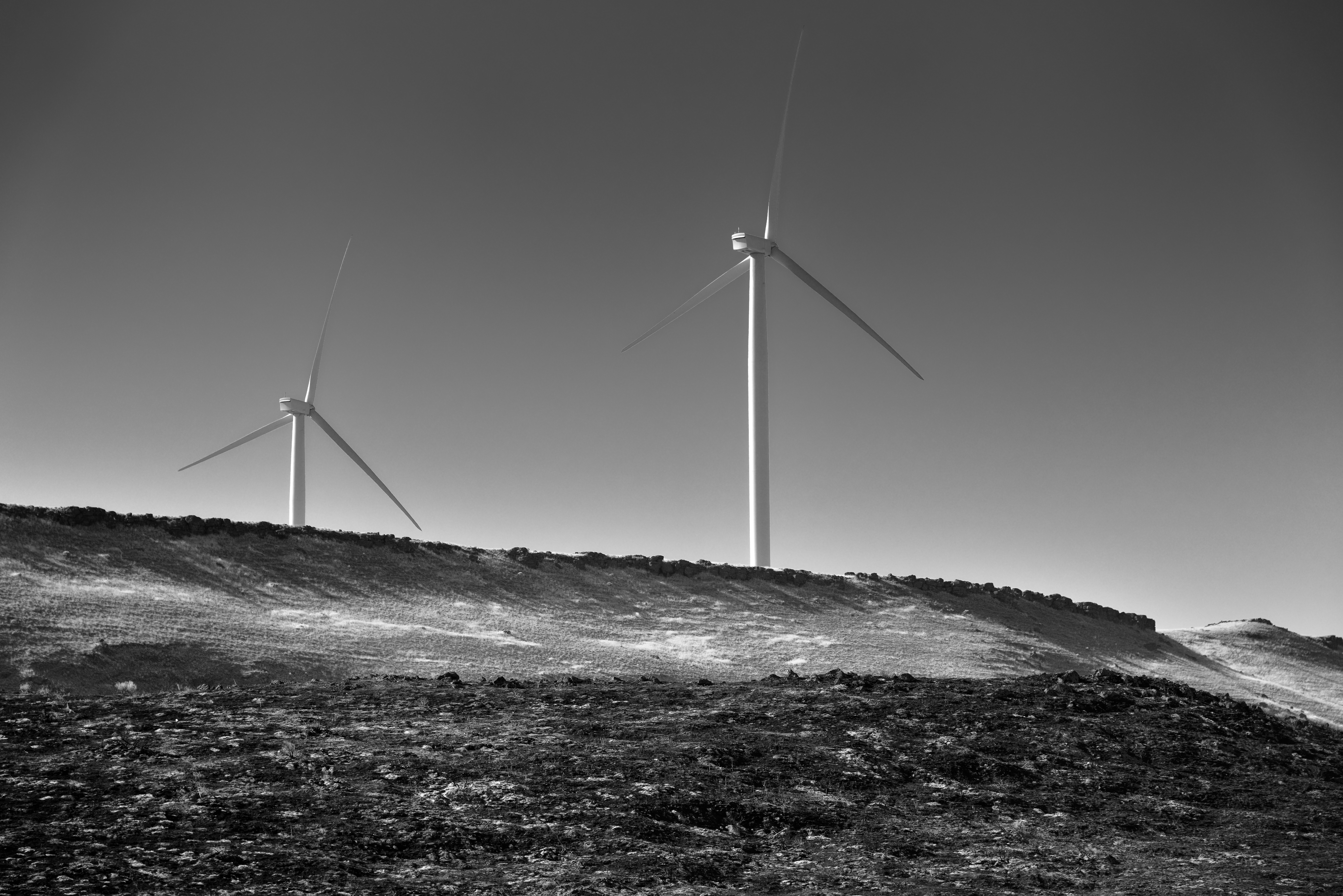
Taking in Views of Wind Turbines While Driving Along the Interstate (Black & White)

Windmills in the Columbia River Gorge

So, I attempted to avoid some I-84 riding by using what's called Rattlesnake Road. It would be longer and feature climbing, but it'd beat the freeway! And the first part started good, with great views. Then it turned to gravel, even better! Then the scene

The view from Sundale Park
Pheasant Grill Drive-In Arlington, Oregon
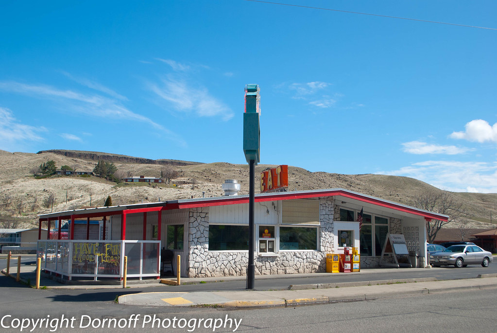
Pheasant Grill Drive-In Arlington, Oregon
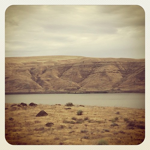
Columbia River. Better views than the Arkansas... #oregon #roadtrip

So, I attempted to avoid some I-84 riding by using what's called Rattlesnake Road. It would be longer and feature climbing, but it'd beat the freeway! And the first part started good, with great views. Then it turned to gravel, even better! Then the scene
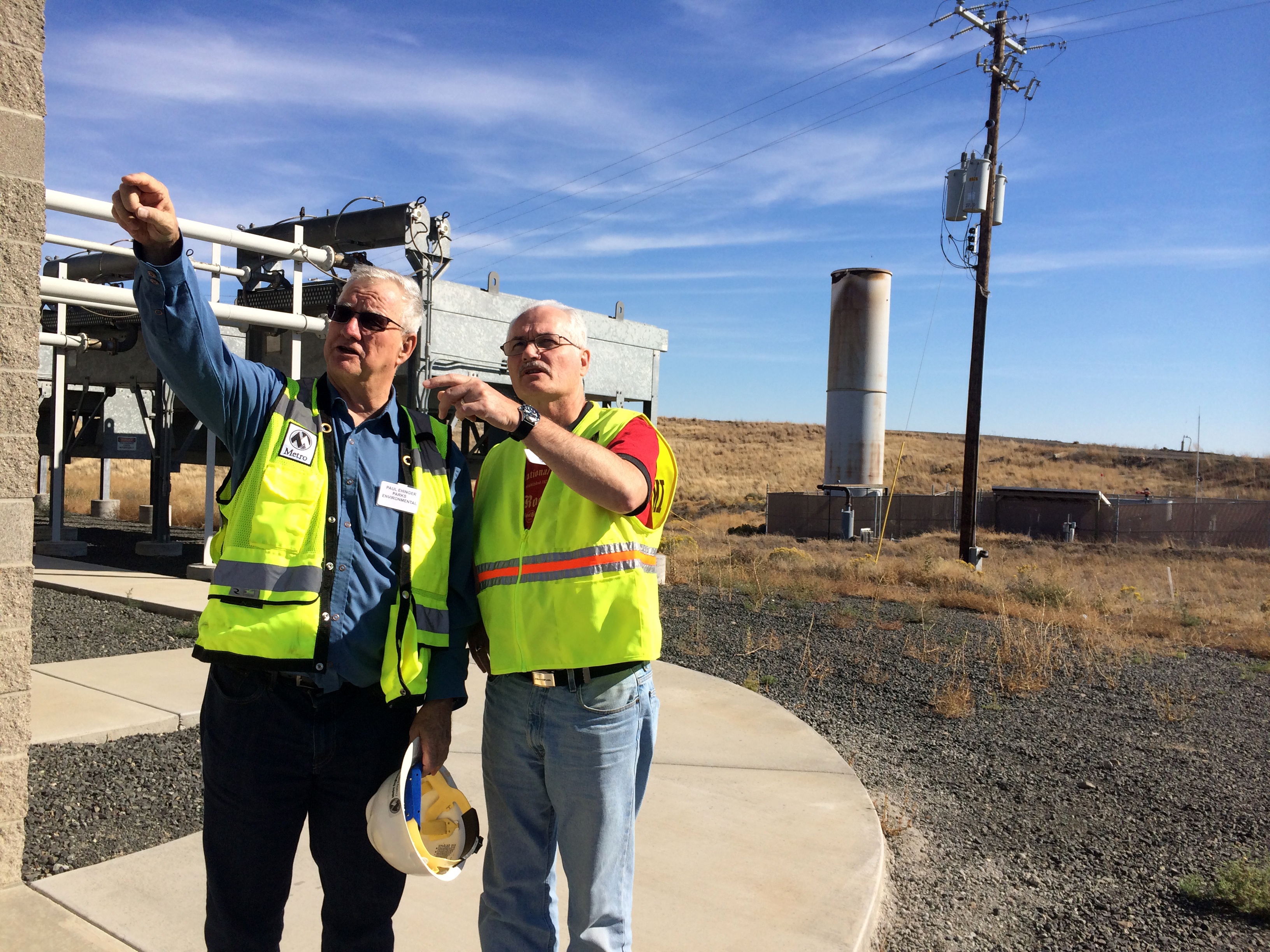
On site

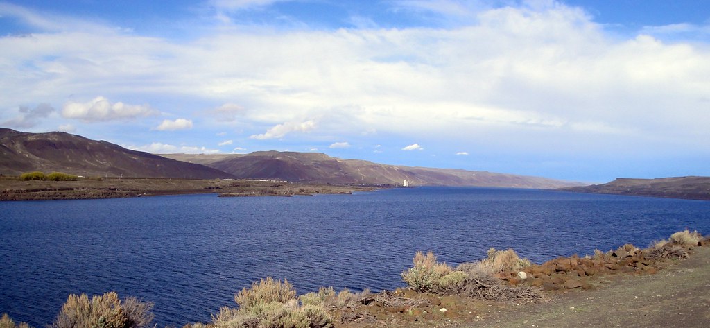
Columbia River View

So, I attempted to avoid some I-84 riding by using what's called Rattlesnake Road. It would be longer and feature climbing, but it'd beat the freeway! And the first part started good, with great views. Then it turned to gravel, even better! Then the scene

View from the office at soundcheck... #Woolery16 #Countryfied16 #ilovemyjob
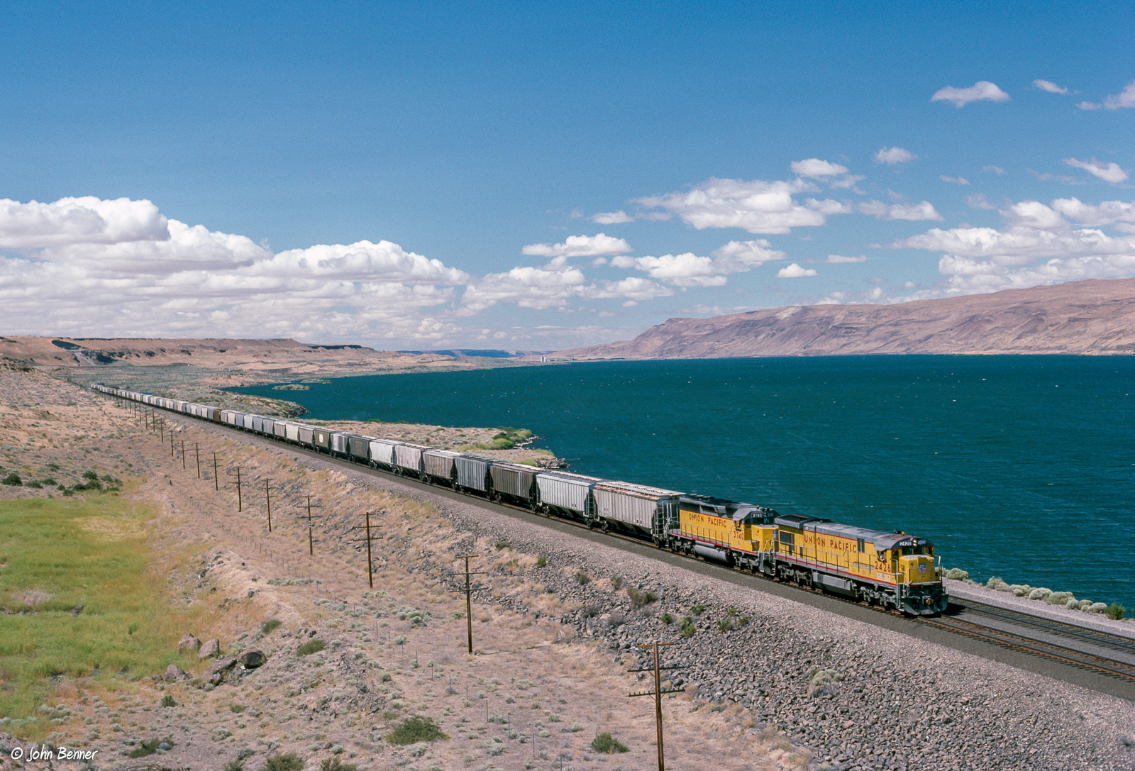
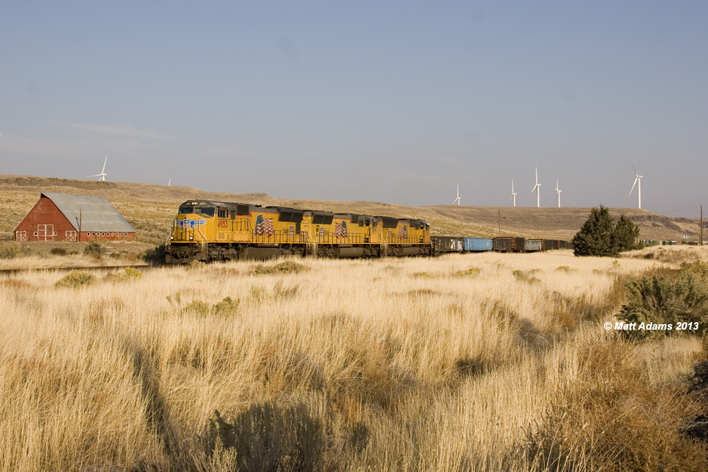
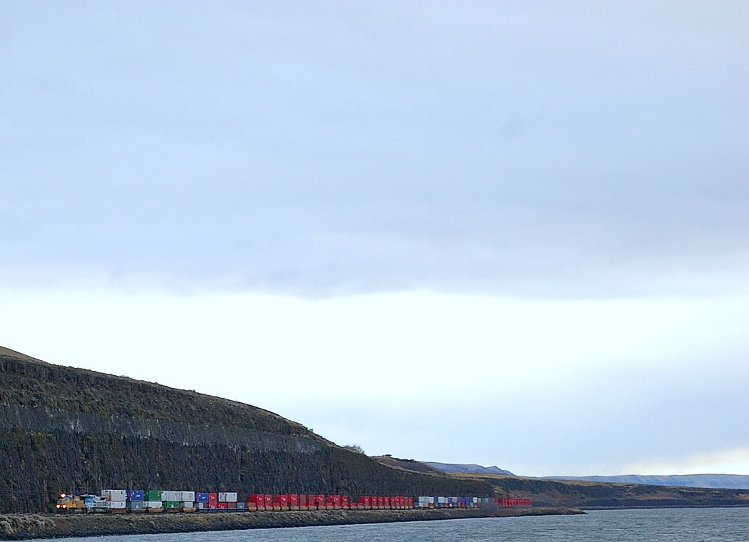
UP 2426 East at Heppner Jct., OR

SE Washington State
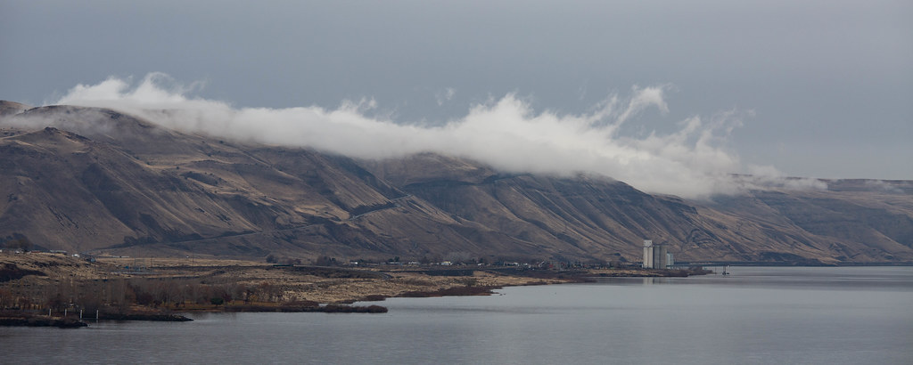
Fog along the Columbia

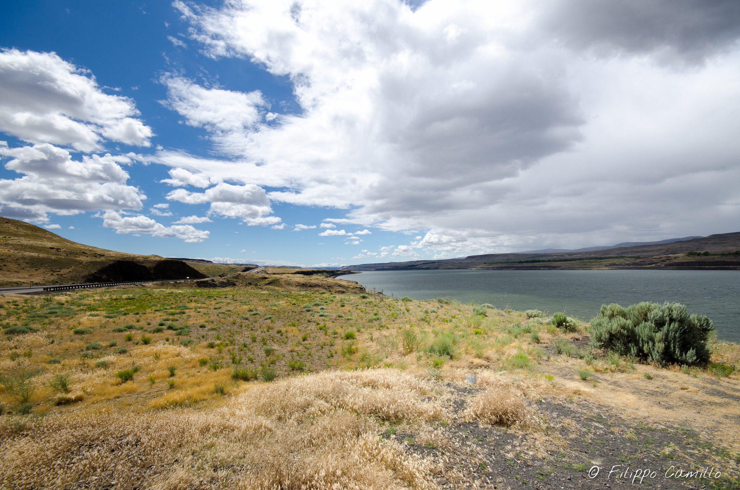
Columbia River Overlook

Columbia River Overlook

Washington from Oregon

White wind turbines mark buried farmlands

Seattle - Yellowstone-8420.jpg

Seattle - Yellowstone-8417.jpg
Seattle - Yellowstone-8419.jpg
Late afternoon on the Columbia
Columbia River at Arlington
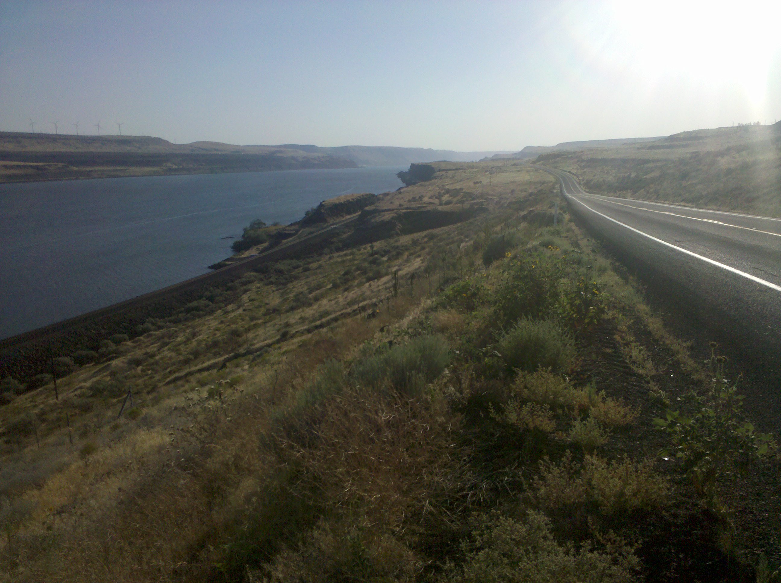
Columbia River Gorge

Seattle - Yellowstone-8421.jpg
PCC USEGL

Columbia River at Blalock Canyon

There they are again

the gorge
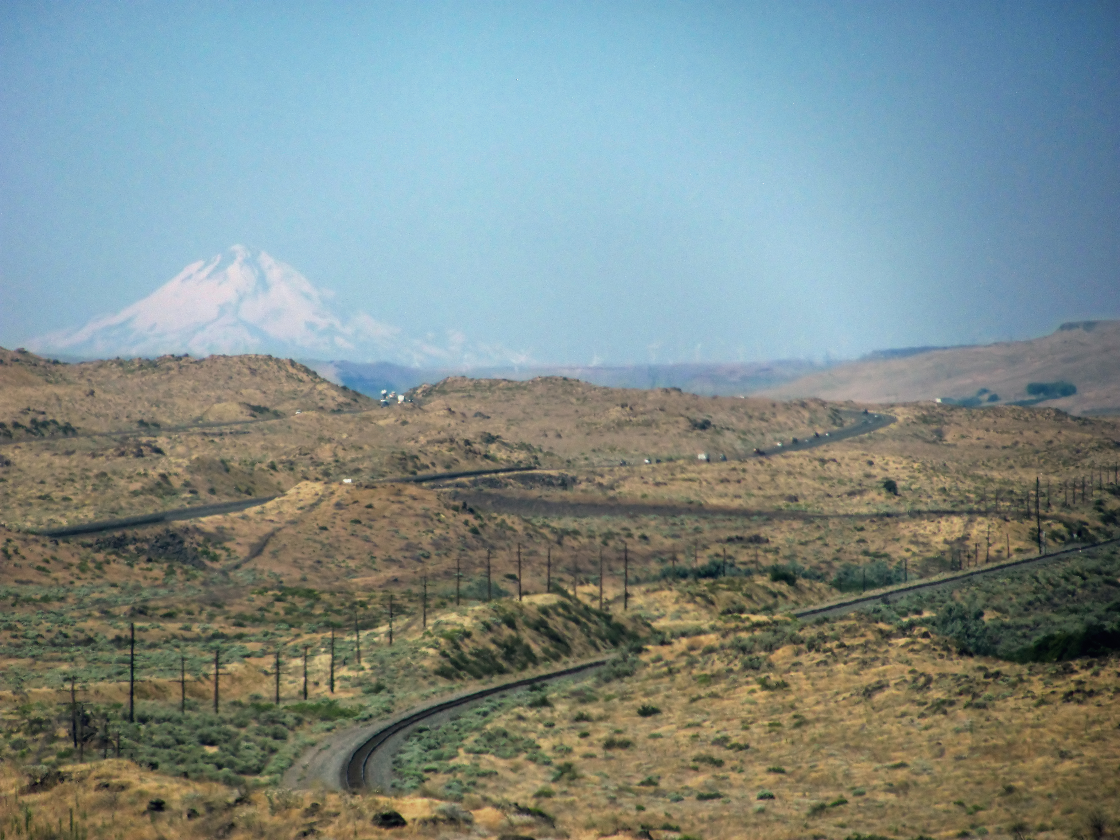
Oregon desert and Mount Hood
ZSEMN-07
Topographic Map of Proctor Rd, Arlington, OR, USA
Find elevation by address:

Places near Proctor Rd, Arlington, OR, USA:
Beech St, Arlington, OR, USA
Roosevelt
Roosevelt
Skyline Ave, Roosevelt, WA, USA
Gilliam County
Bickleton
73396 Tower Rd
Bickleton Ridge
1156 Ownby Rd
Badger Gulch Road
Condon
256 Hawks Wind Rd
256 Hawks Wind Rd
Munson Prairie Road
Boardman
28 Payne Ln
Clark St, Wasco, OR, USA
Wasco
Toppenish, WA, USA
Trowbridge Road
Recent Searches:
- Elevation of W Granada St, Tampa, FL, USA
- Elevation of Pykes Down, Ivybridge PL21 0BY, UK
- Elevation of Jalan Senandin, Lutong, Miri, Sarawak, Malaysia
- Elevation of Bilohirs'k
- Elevation of 30 Oak Lawn Dr, Barkhamsted, CT, USA
- Elevation of Luther Road, Luther Rd, Auburn, CA, USA
- Elevation of Unnamed Road, Respublika Severnaya Osetiya — Alaniya, Russia
- Elevation of Verkhny Fiagdon, North Ossetia–Alania Republic, Russia
- Elevation of F. Viola Hiway, San Rafael, Bulacan, Philippines
- Elevation of Herbage Dr, Gulfport, MS, USA