Elevation of Hawks Wind Rd, Goldendale, WA, USA
Location: United States > Washington > Klickitat County > Goldendale >
Longitude: -120.64960
Latitude: 45.910889
Elevation: -10000m / -32808feet
Barometric Pressure: 295KPa
Elevation Map:
Satellite Map:
Related Photos:

Mt Hood in twilight's pink glow

Rock fencing... 20111015_1615

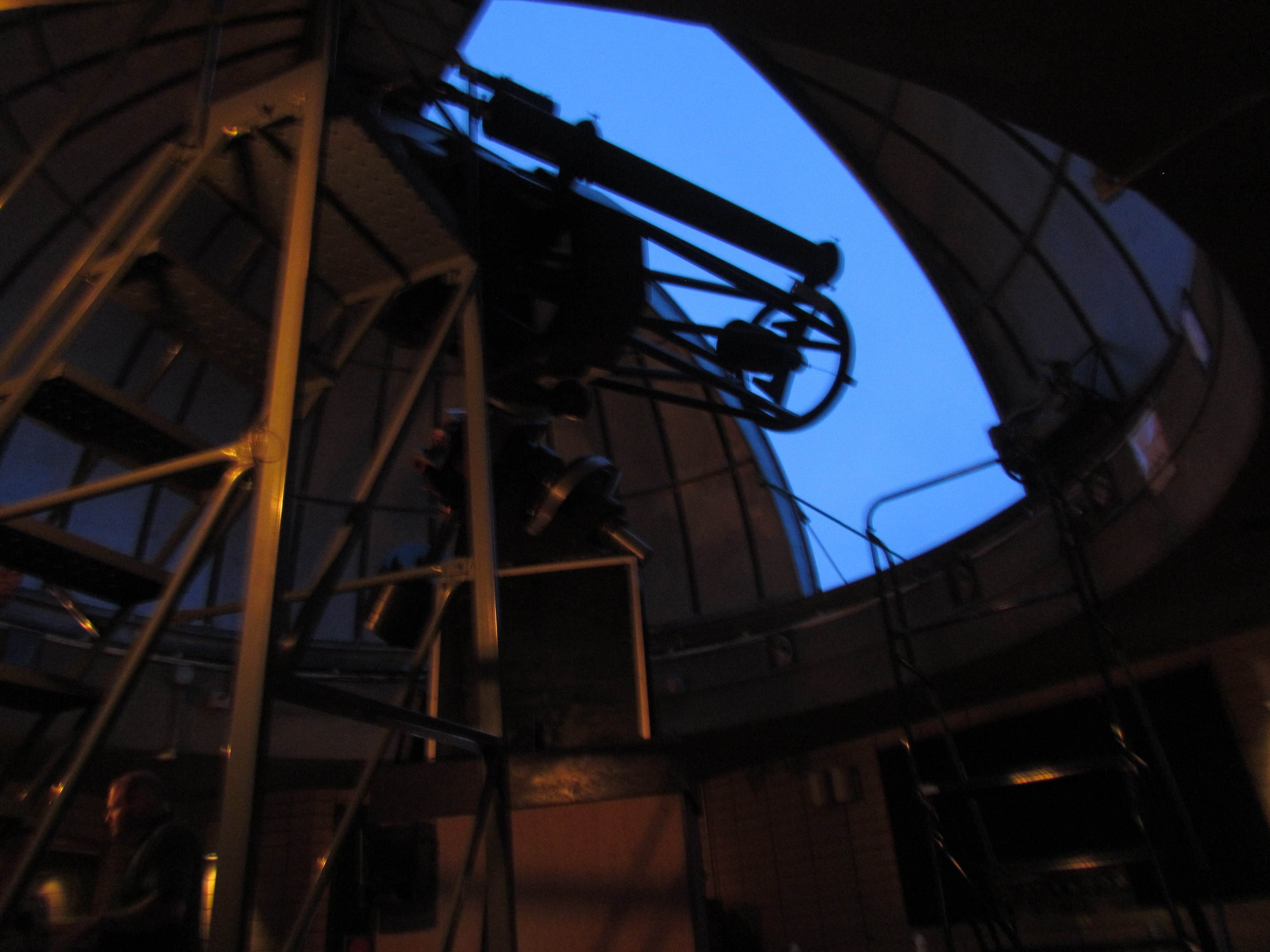
Goldendale Observatory

Satus Pass
Viewing portal

Our front yard.

DSC04326.jpg

Bales of hay

SONY DSC

Ranunculus repens

To Wilbur, Oregon 2009 (1)

IM000765-

Big Fir Tree

Mt. Adams
Topographic Map of Hawks Wind Rd, Goldendale, WA, USA
Find elevation by address:

Places near Hawks Wind Rd, Goldendale, WA, USA:
256 Hawks Wind Rd
Munson Prairie Road
Trowbridge Road
Badger Gulch Road
1156 Ownby Rd
28 Payne Ln
274 Rimrock Rd
284 Rimrock Rd
1595 Us-97
2 Sara View Dr
Bickleton Ridge
Goldendale
115 W Court St
185 Pine Forest Rd
4 Bailey Loop Dr
552 Pine Forest Rd
69 Van Hoy Rd
35 Cole Mountain Loop
Rufus
770 Cedar Valley Rd
Recent Searches:
- Elevation of Tenjo, Cundinamarca, Colombia
- Elevation of Côte-des-Neiges, Montreal, QC H4A 3J6, Canada
- Elevation of Bobcat Dr, Helena, MT, USA
- Elevation of Zu den Ihlowbergen, Althüttendorf, Germany
- Elevation of Badaber, Peshawar, Khyber Pakhtunkhwa, Pakistan
- Elevation of SE Heron Loop, Lincoln City, OR, USA
- Elevation of Slanický ostrov, 01 Námestovo, Slovakia
- Elevation of Spaceport America, Co Rd A, Truth or Consequences, NM, USA
- Elevation of Warwick, RI, USA
- Elevation of Fern Rd, Whitmore, CA, USA