Elevation of Beaune-d'Allier, France
Location: Italy > Auvergne Rhône-alpes > Allier >
Longitude: 2.885157
Latitude: 46.280381
Elevation: 475m / 1558feet
Barometric Pressure: 96KPa
Elevation Map:
Satellite Map:
Related Photos:
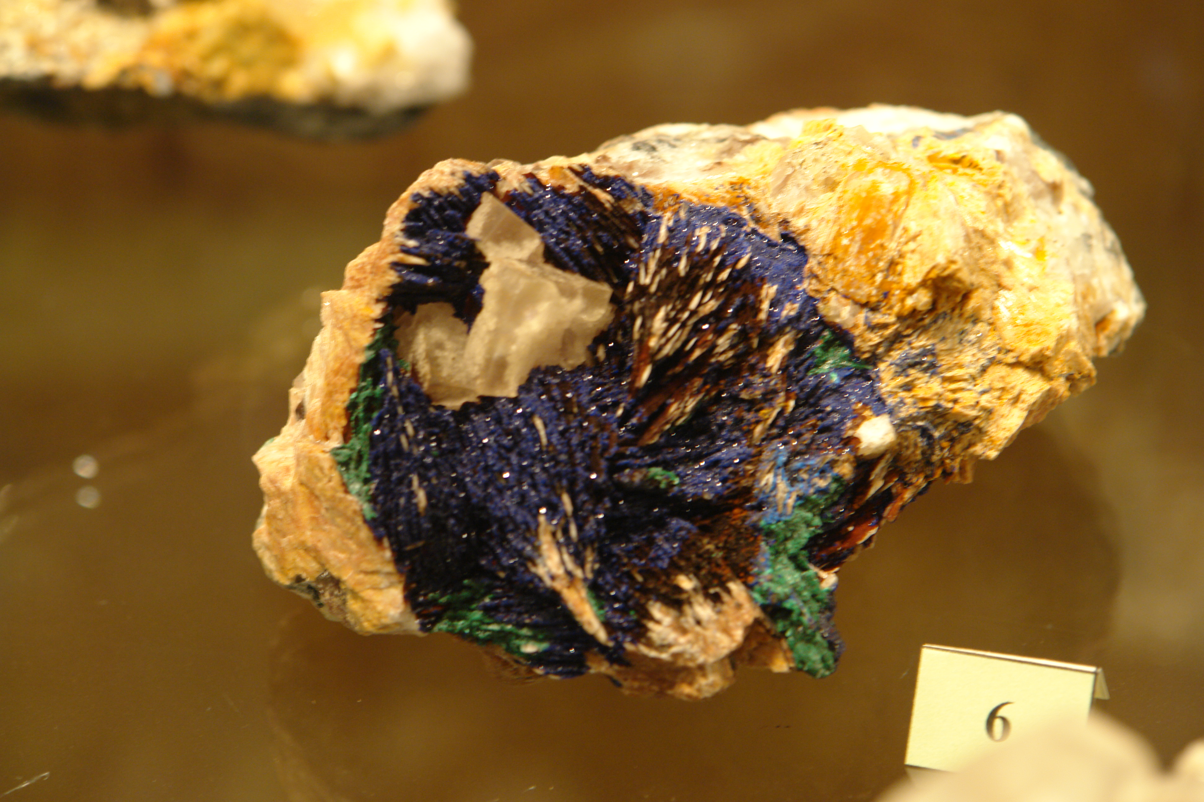
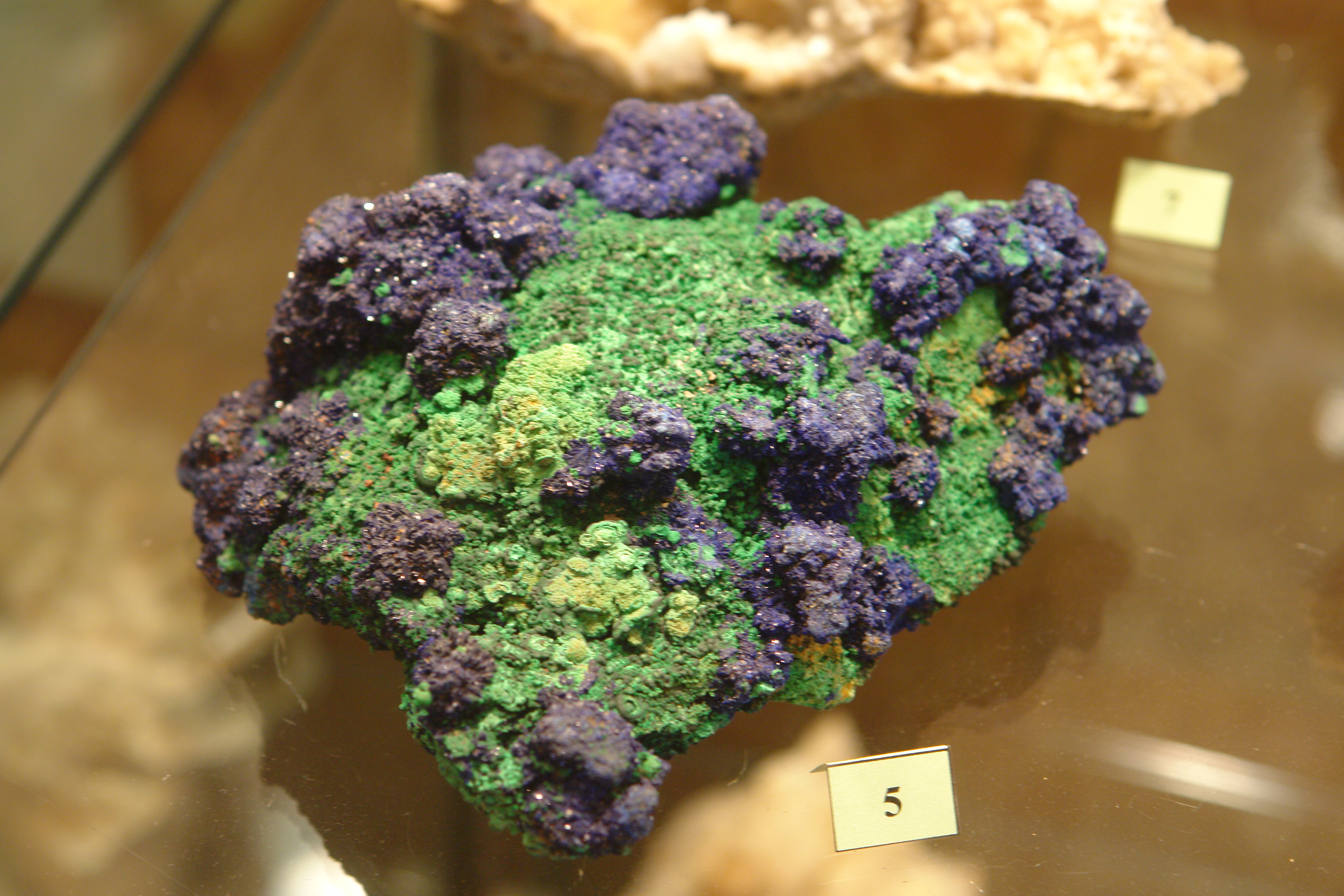
Specimen in the mineral museum at Wolframines
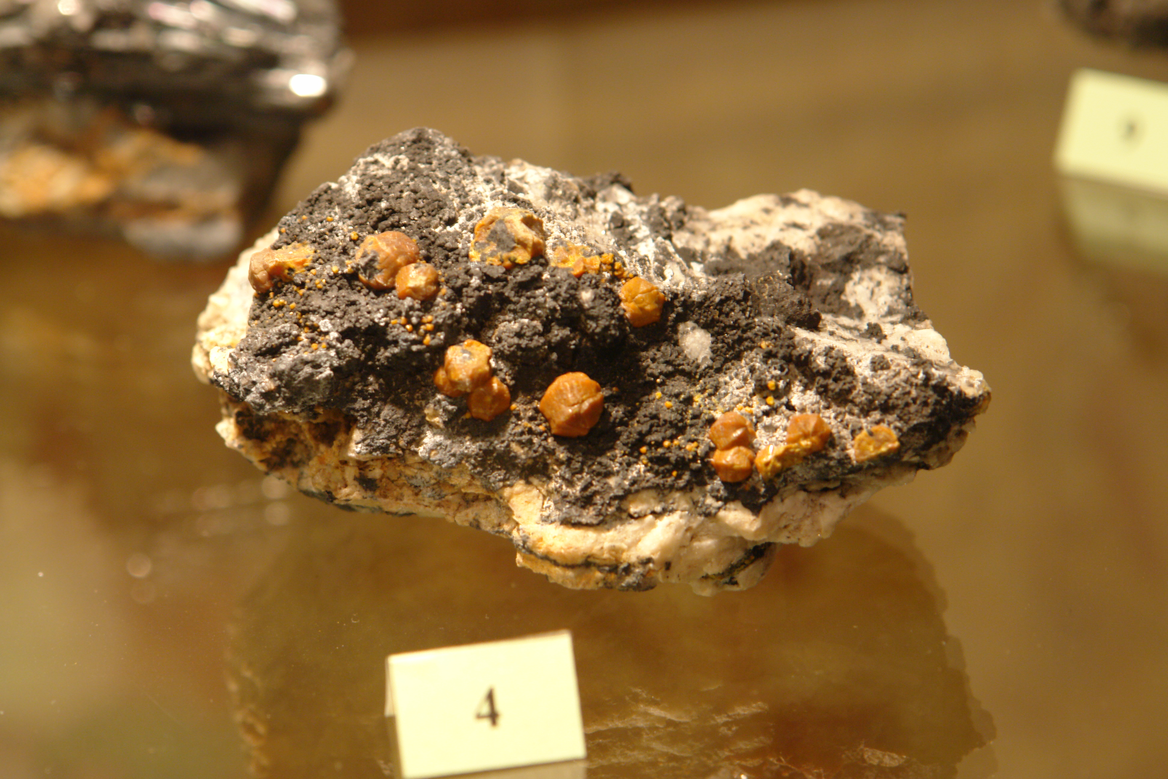
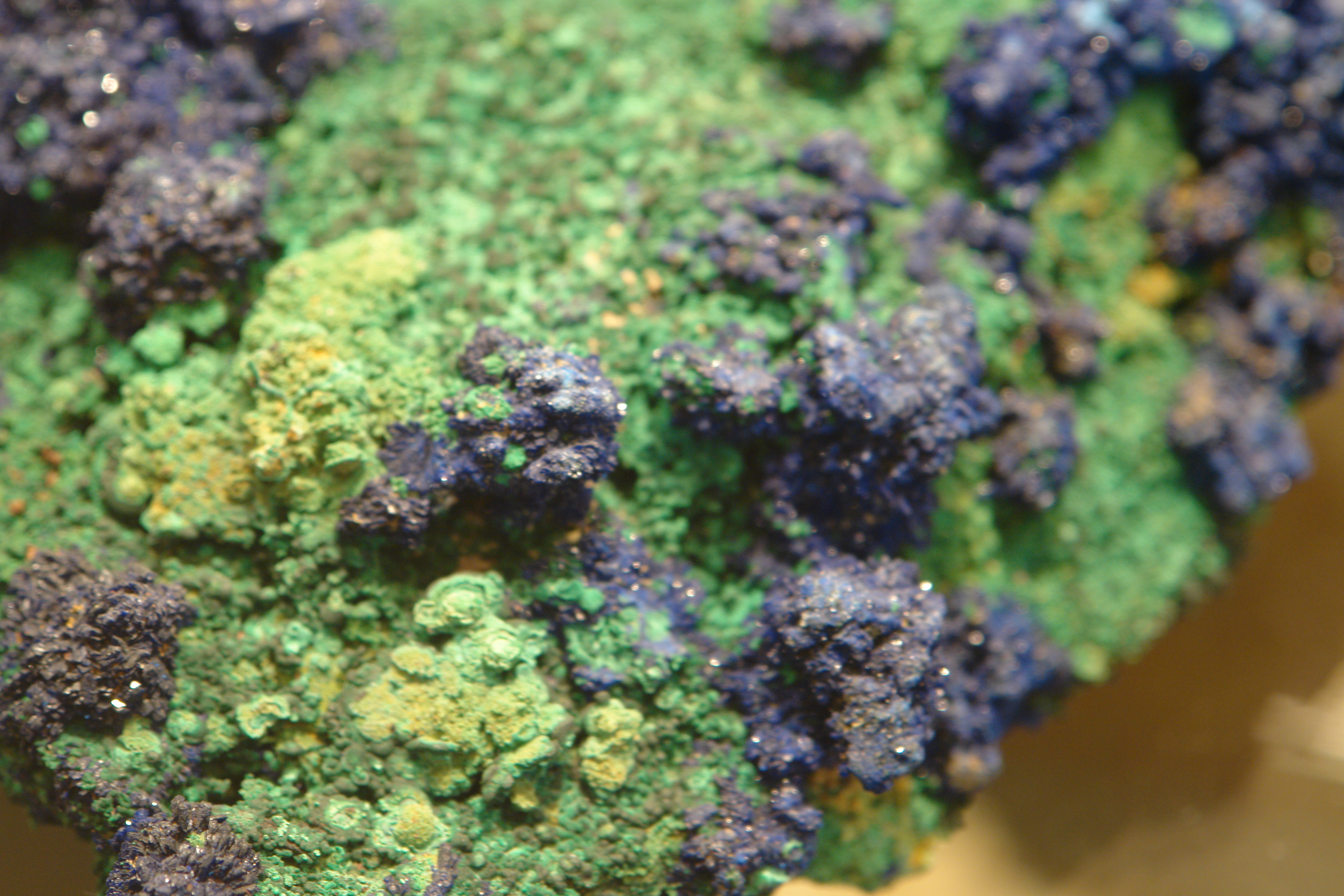
Specimen in the mineral museum at Wolframines
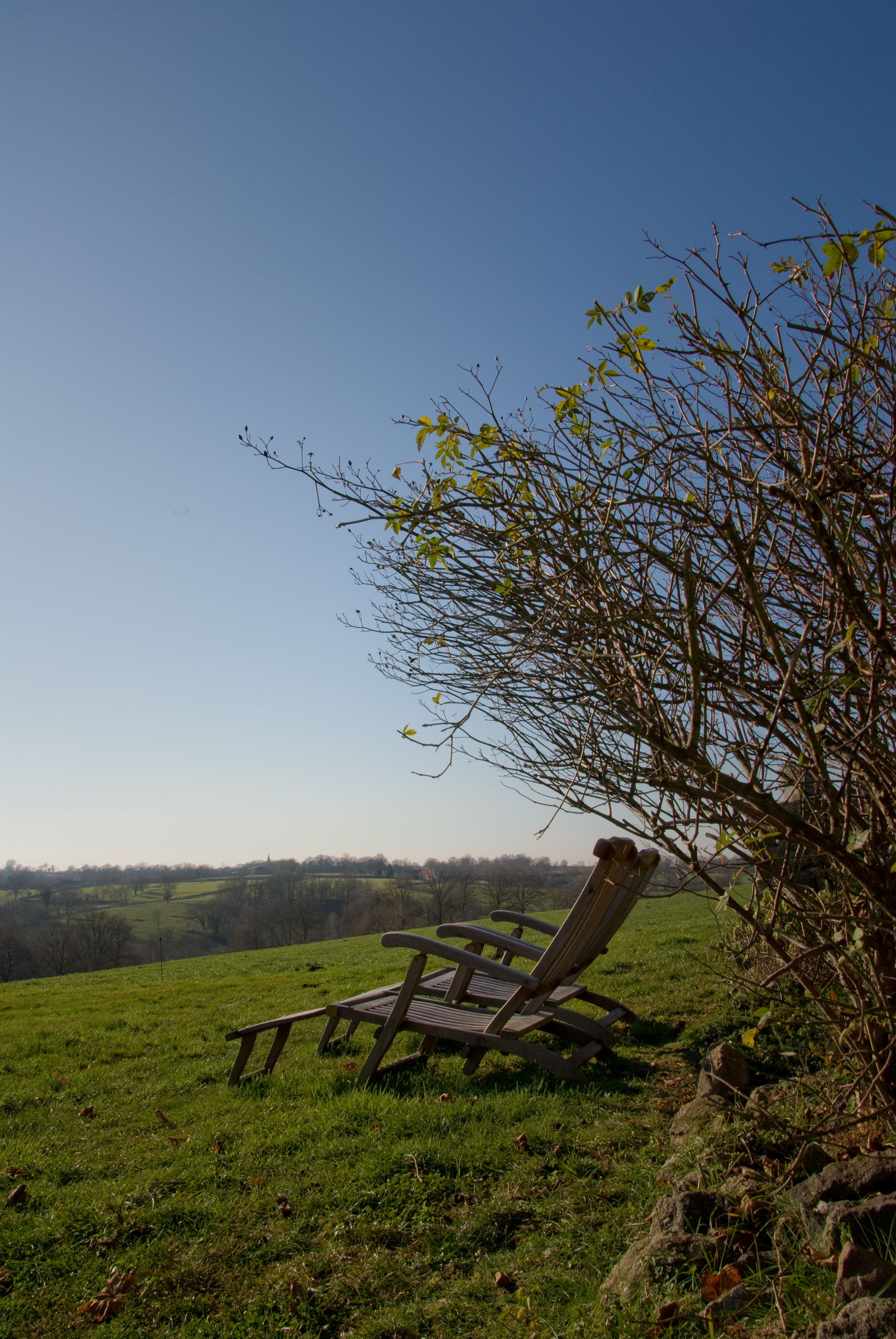
Chairs with a View

Les Places
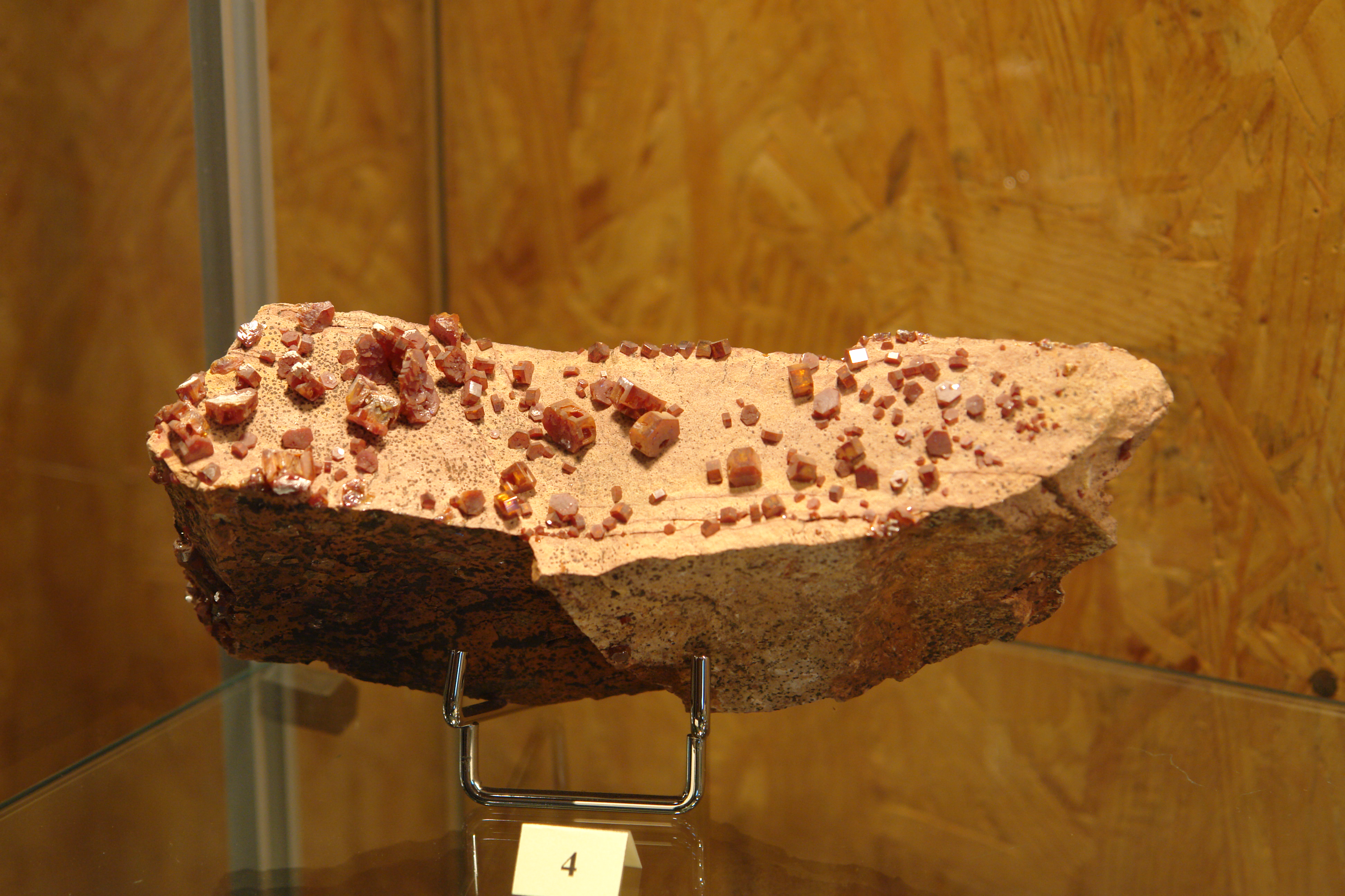
Specimen in the mineral museum at Wolframines
Specimen in the mineral museum at Wolframines
Specimen in the mineral museum at Wolframines
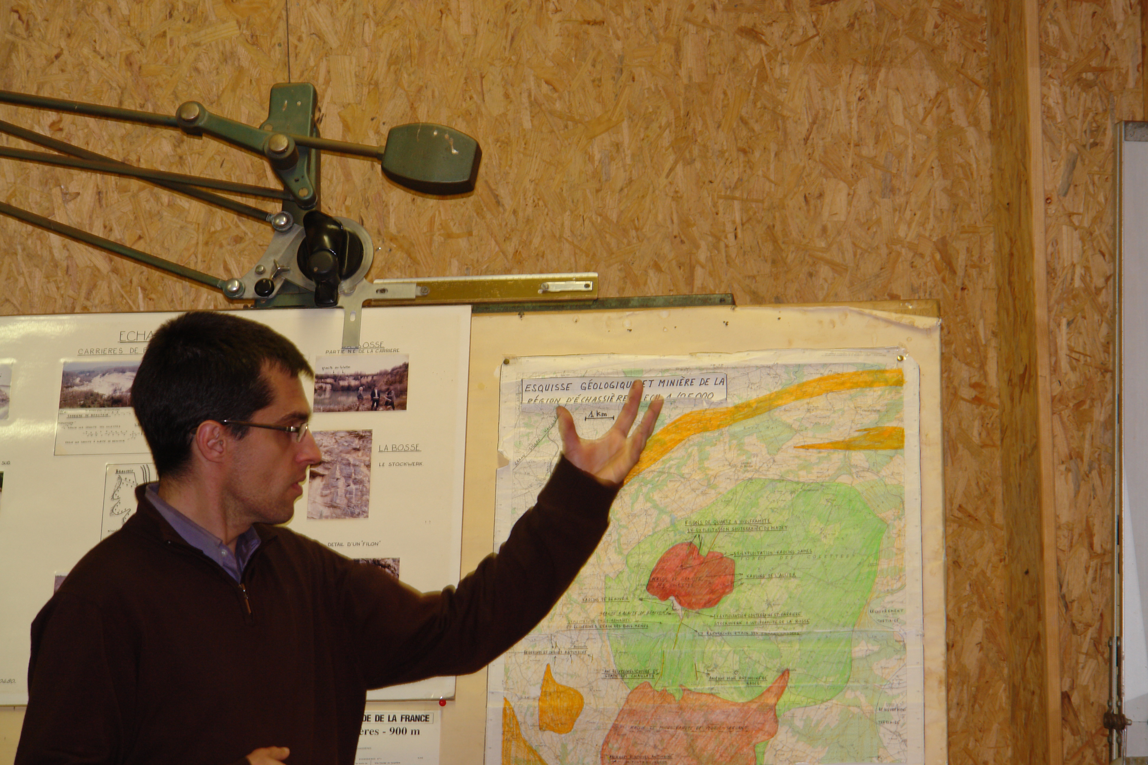
The curator of the Wolframines mineral museum explains the geology

sun on cheeps

----

Let s go
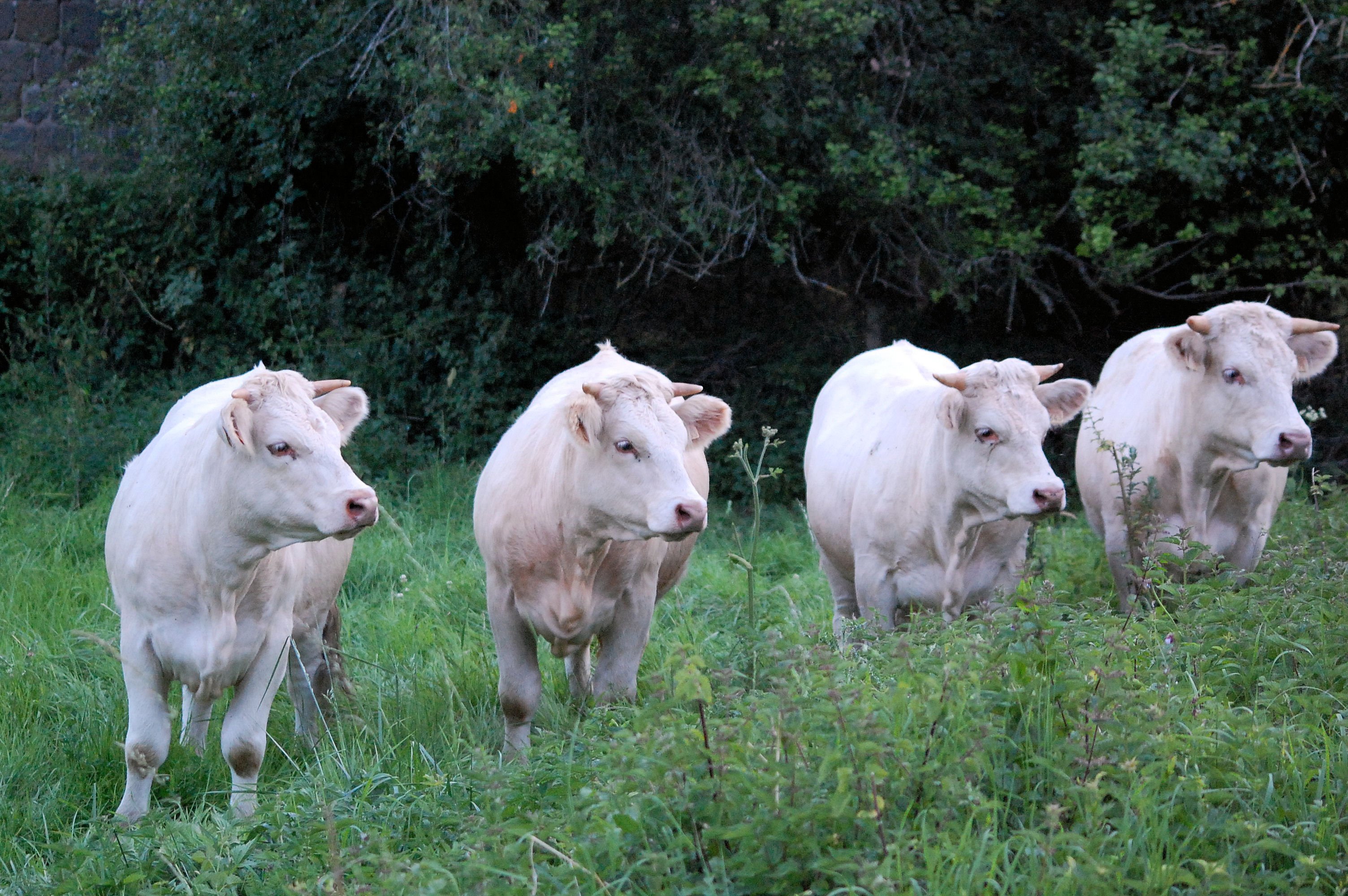
Vache !!!
Pink Floyd Spirit

Red Pasture, Chavenon (France)

Nördlings Erbe - II

11 janvier 2012 : Djungueul
Topographic Map of Beaune-d'Allier, France
Find elevation by address:

Places in Beaune-d'Allier, France:
Places near Beaune-d'Allier, France:
8 Le Bourg, Beaune-d'Allier, France
6 Chemin du Vieux Village, Bézenet, France
Bézenet
D68, Blomard, France
Durmignat
Blomard
Chez Voyon, Durmignat, France
D, Échassières, France
Échassières
3 D46, Saint-Marcel-en-Murat, France
Saint-Éloy-les-mines
Saint-marcel-en-murat
1 Route de la Boule, Saint-Éloy-les-Mines, France
2 Chemin des Percières, Lalizolle, France
6 Rue de Montjoie, Youx, France
Lalizolle
Le Bourg, Neuf-Église, France
Neuf-Église
1 D, Pouzol, France
Pouzol
Recent Searches:
- Elevation of Elwyn Dr, Roanoke Rapids, NC, USA
- Elevation of Congressional Dr, Stevensville, MD, USA
- Elevation of Bellview Rd, McLean, VA, USA
- Elevation of Stage Island Rd, Chatham, MA, USA
- Elevation of Shibuya Scramble Crossing, 21 Udagawacho, Shibuya City, Tokyo -, Japan
- Elevation of Jadagoniai, Kaunas District Municipality, Lithuania
- Elevation of Pagonija rock, Kranto 7-oji g. 8"N, Kaunas, Lithuania
- Elevation of Co Rd 87, Jamestown, CO, USA
- Elevation of Tenjo, Cundinamarca, Colombia
- Elevation of Côte-des-Neiges, Montreal, QC H4A 3J6, Canada