Elevation of Bézenet, France
Location: Italy > Auvergne Rhône-alpes > Allier >
Longitude: 2.844122
Latitude: 46.328698
Elevation: 316m / 1037feet
Barometric Pressure: 98KPa
Elevation Map:
Satellite Map:
Related Photos:
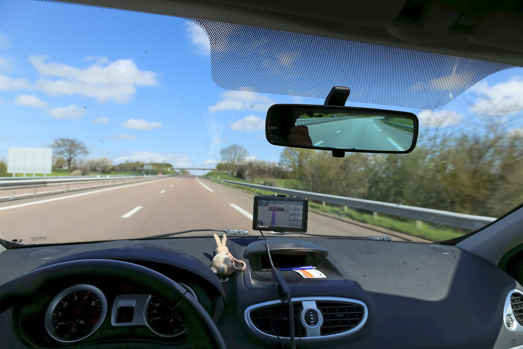
Autoroute A71 - Montluçon (France)
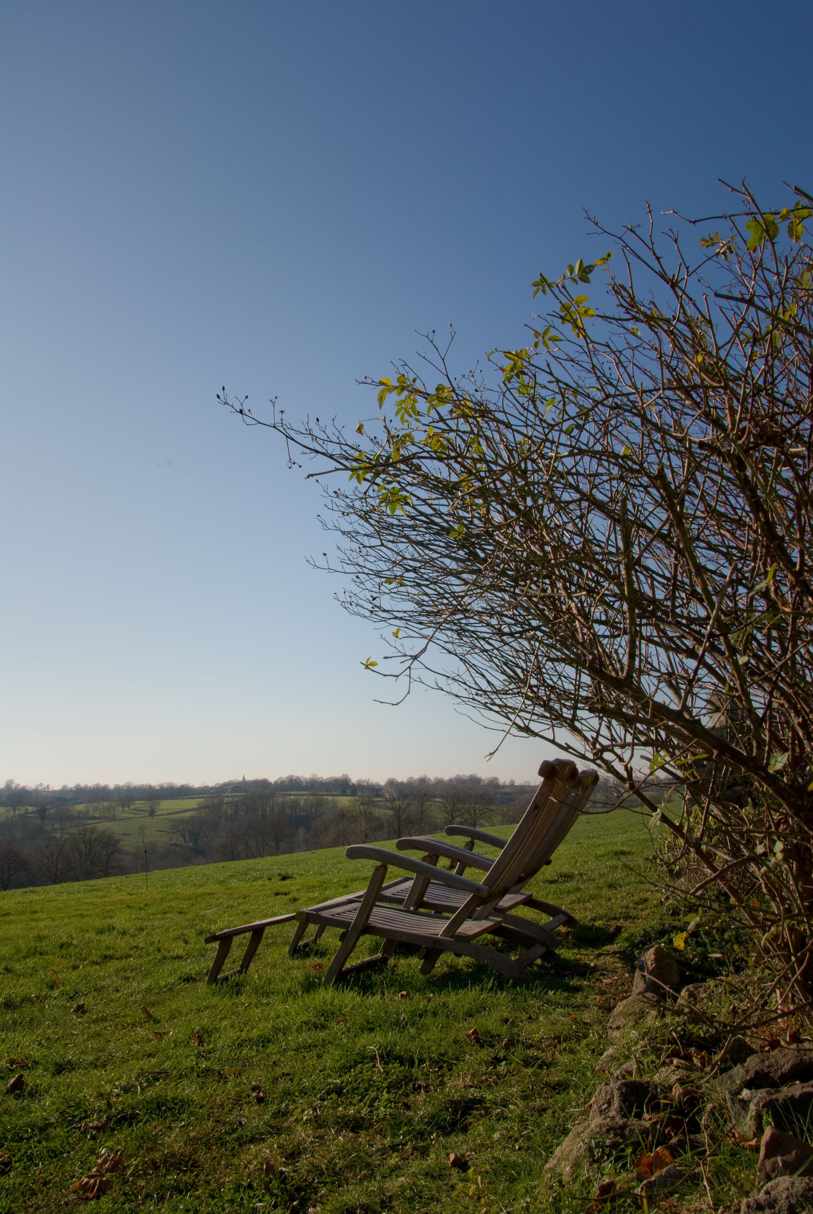
Chairs with a View

Les Places

sun on cheeps

Let s go

2013-07-01-15h07m58.IMG_0139
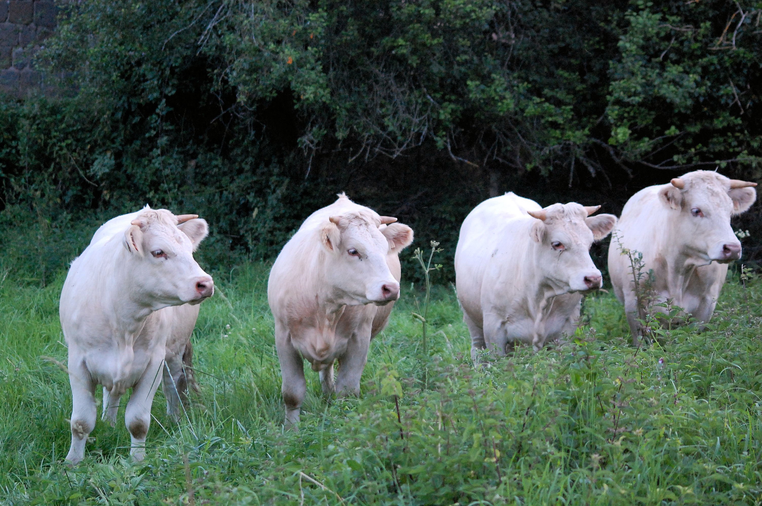
Vache !!!
Pink Floyd Spirit

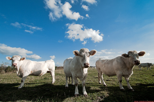
Red Pasture, Chavenon (France)

Cabaret des oiseaux

11 janvier 2012 : Djungueul
Topographic Map of Bézenet, France
Find elevation by address:

Places in Bézenet, France:
Places near Bézenet, France:
6 Chemin du Vieux Village, Bézenet, France
8 Le Bourg, Beaune-d'Allier, France
Beaune-d'allier
D68, Blomard, France
Blomard
Durmignat
3 D46, Saint-Marcel-en-Murat, France
Chez Voyon, Durmignat, France
Saint-marcel-en-murat
Saint-Éloy-les-mines
D, Échassières, France
Échassières
1 Route de la Boule, Saint-Éloy-les-Mines, France
6 Rue de Montjoie, Youx, France
2 Chemin des Percières, Lalizolle, France
Lalizolle
Le Bourg, Neuf-Église, France
Neuf-Église
1 D, Pouzol, France
Pouzol
Recent Searches:
- Elevation of Congressional Dr, Stevensville, MD, USA
- Elevation of Bellview Rd, McLean, VA, USA
- Elevation of Stage Island Rd, Chatham, MA, USA
- Elevation of Shibuya Scramble Crossing, 21 Udagawacho, Shibuya City, Tokyo -, Japan
- Elevation of Jadagoniai, Kaunas District Municipality, Lithuania
- Elevation of Pagonija rock, Kranto 7-oji g. 8"N, Kaunas, Lithuania
- Elevation of Co Rd 87, Jamestown, CO, USA
- Elevation of Tenjo, Cundinamarca, Colombia
- Elevation of Côte-des-Neiges, Montreal, QC H4A 3J6, Canada
- Elevation of Bobcat Dr, Helena, MT, USA