Elevation of 1 D, Pouzol, France
Location: France > Puy-de-dome > Pouzol >
Longitude: 2.9659935
Latitude: 46.1129663
Elevation: 546m / 1791feet
Barometric Pressure: 95KPa
Elevation Map:
Satellite Map:
Related Photos:
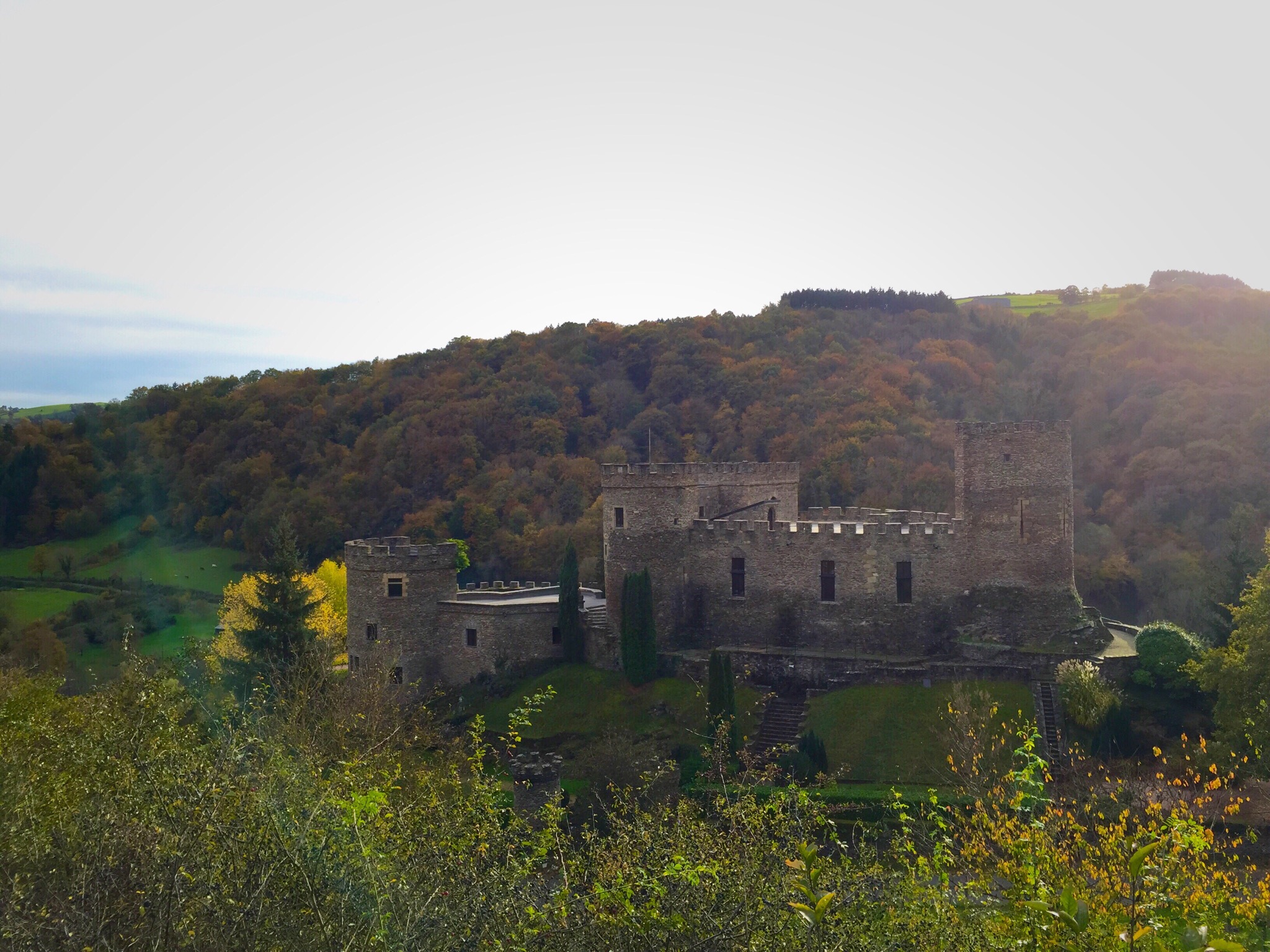
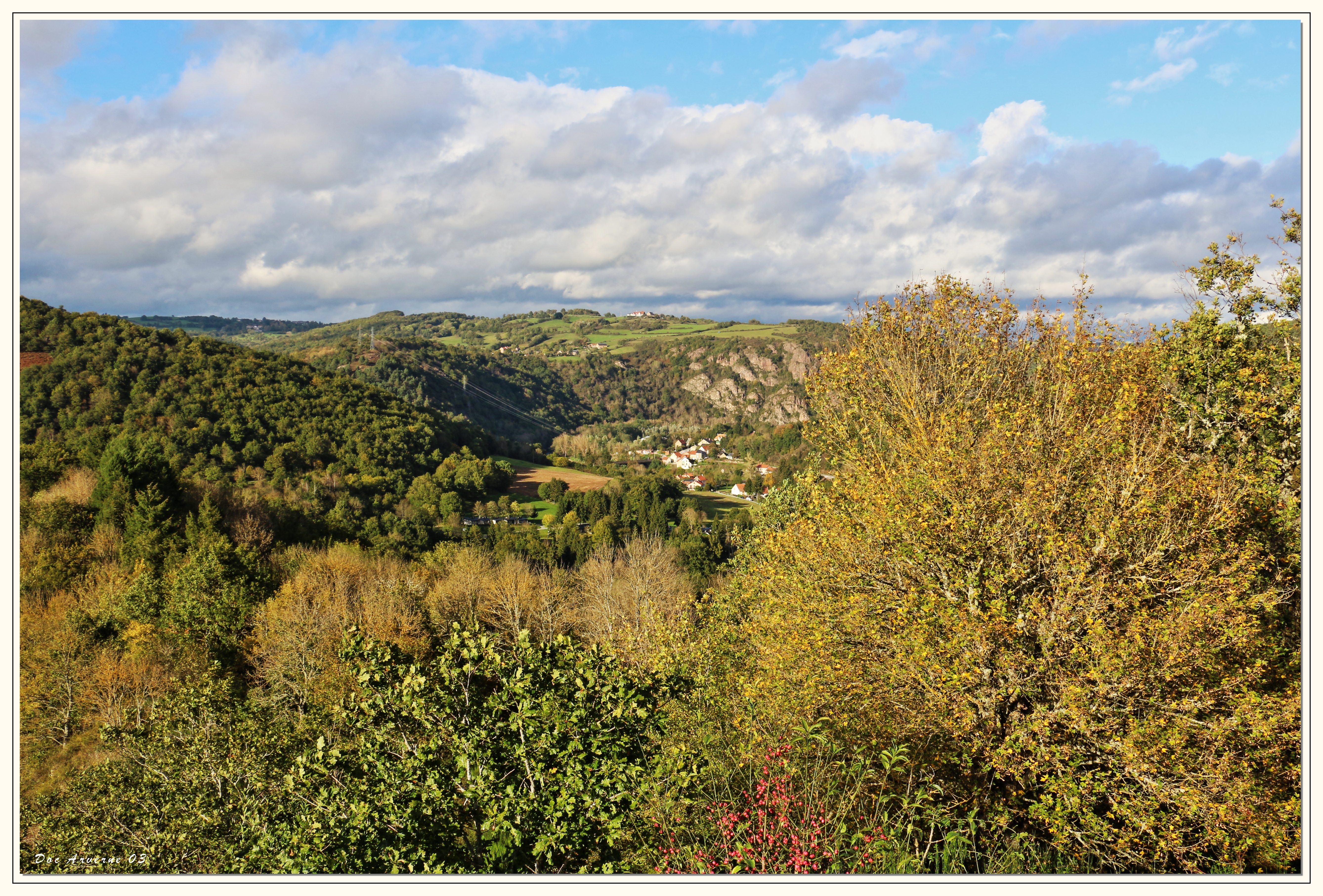
Autumn Colors Auvergne Enjoying The View IPhoneography at Chateau de Chouvigny
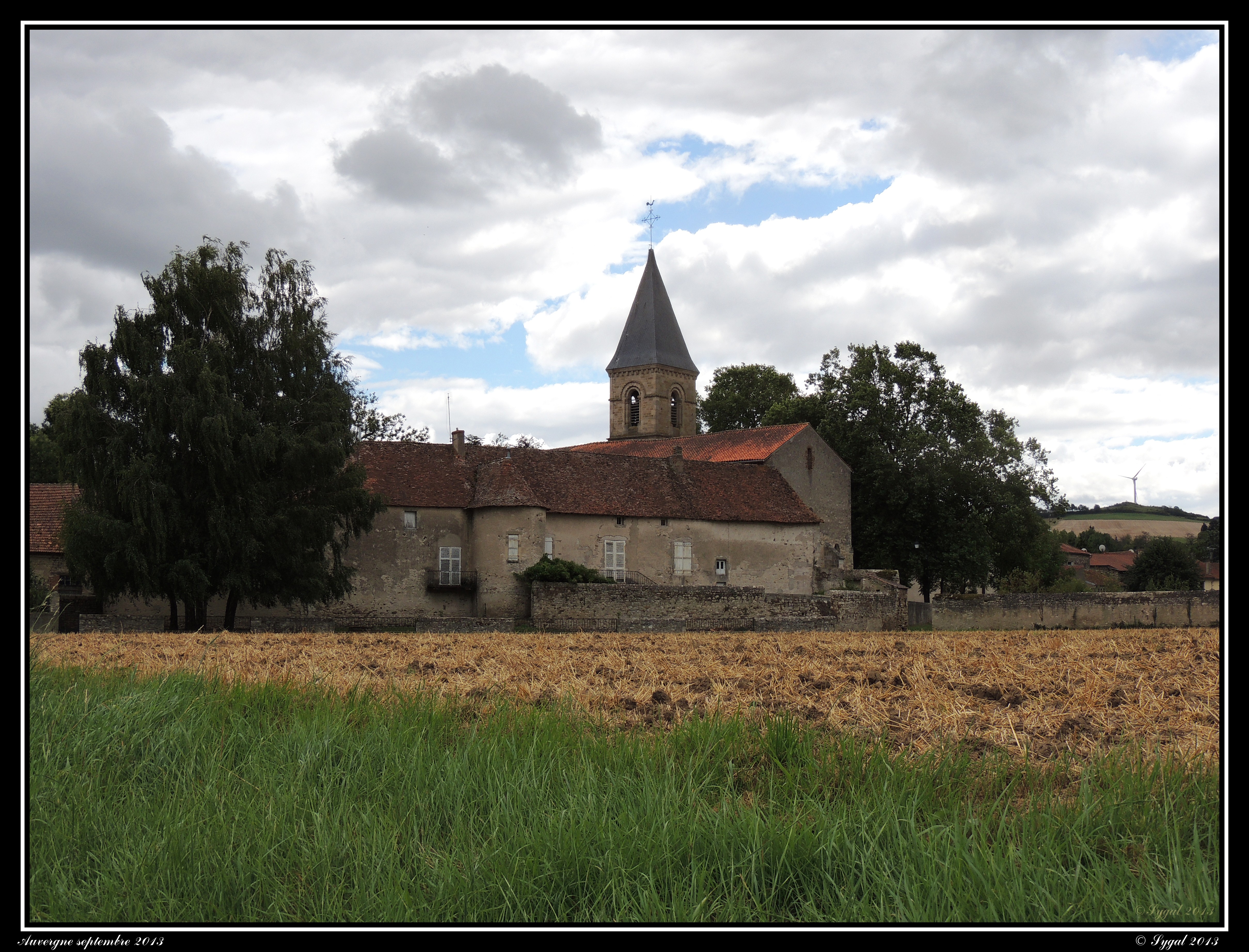
Ébreuil - Saint-Léger
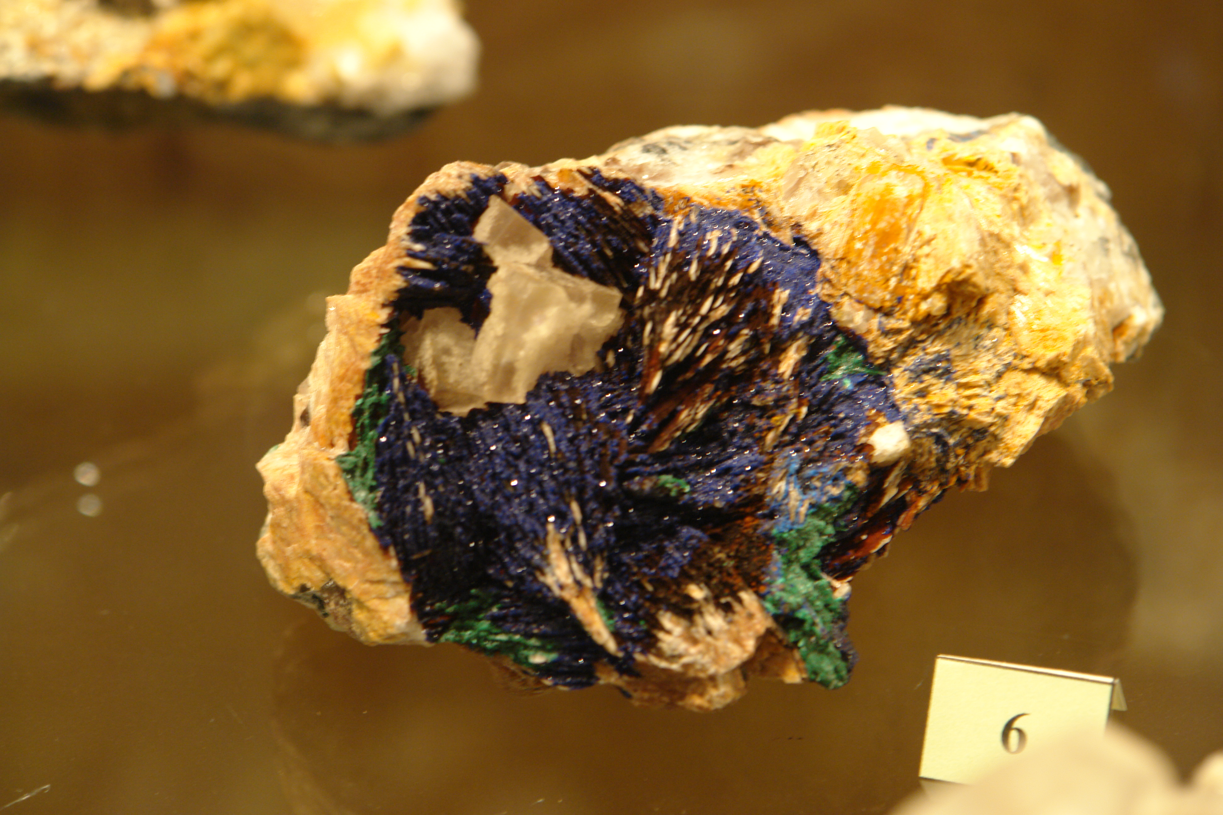
Specimen in the mineral museum at Wolframines
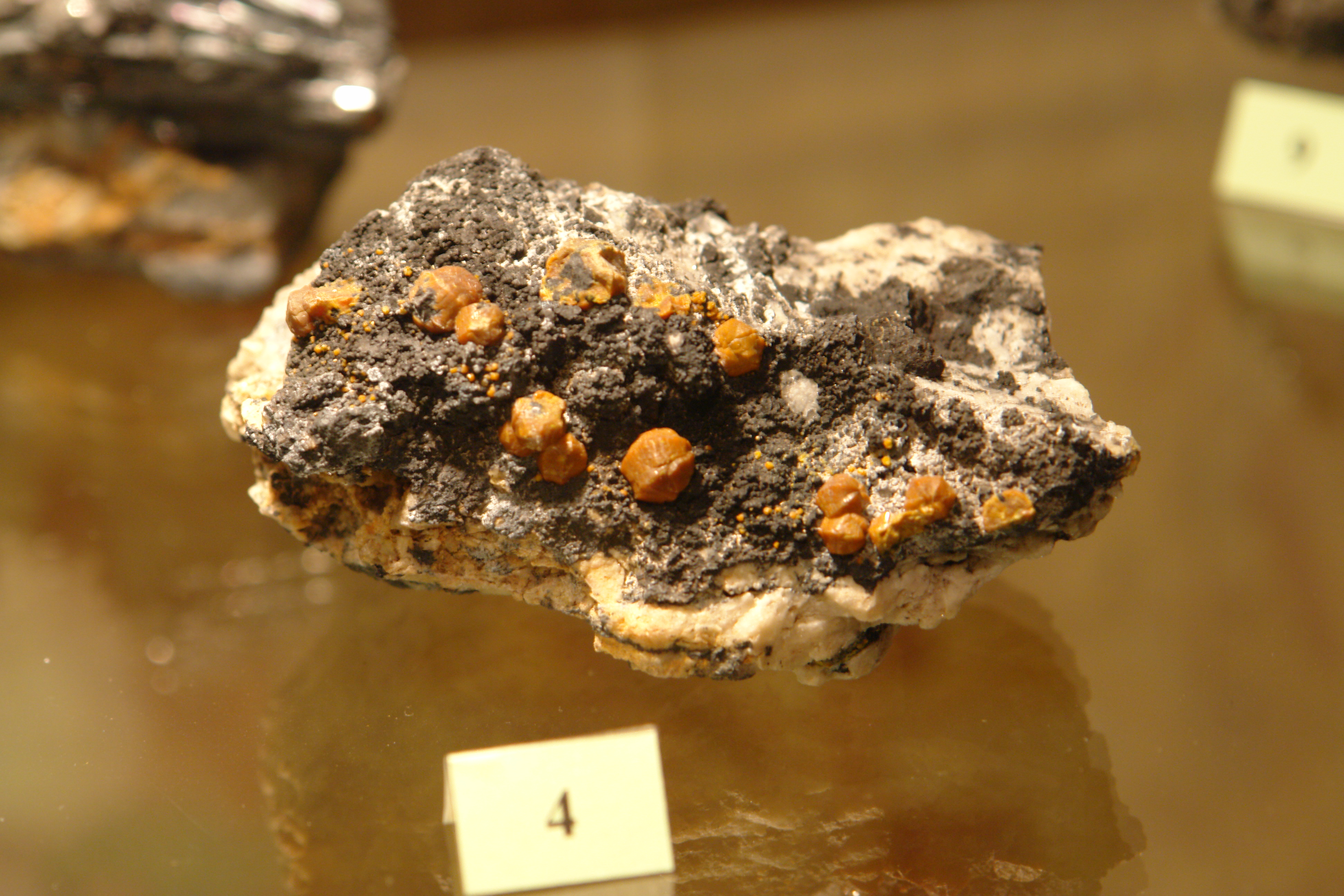
Specimen in the mineral museum at Wolframines
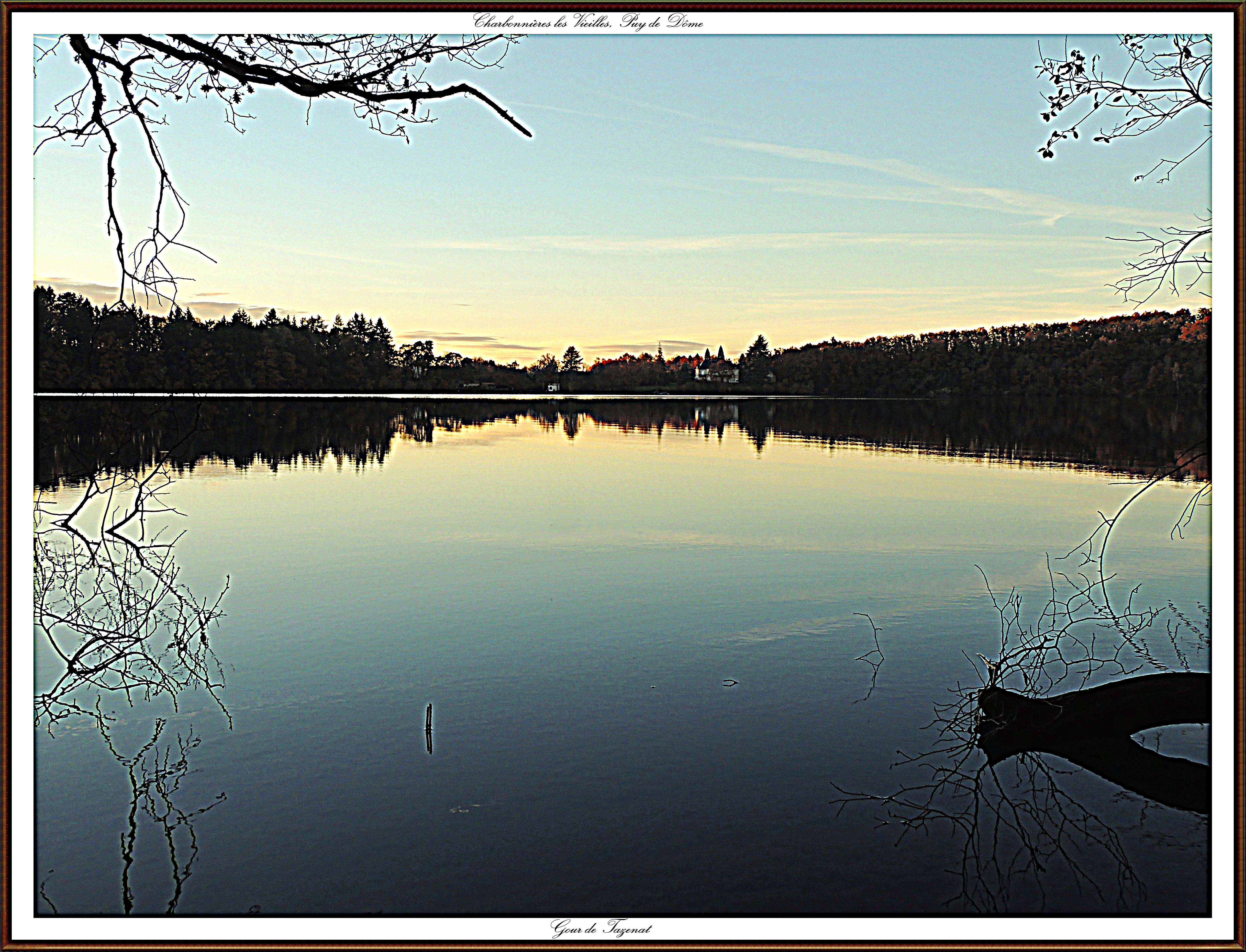
Le Gout de Tazenac
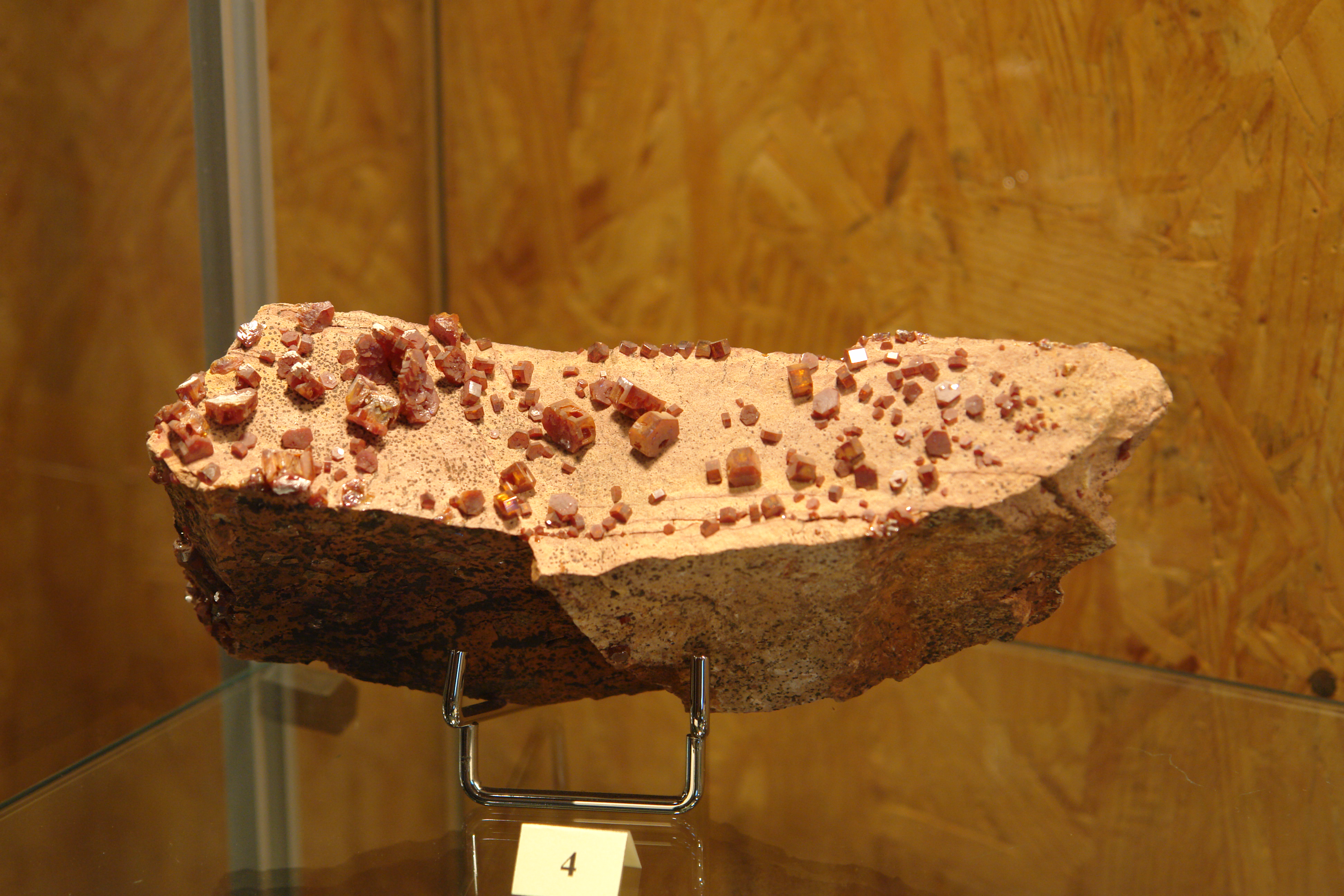
Specimen in the mineral museum at Wolframines
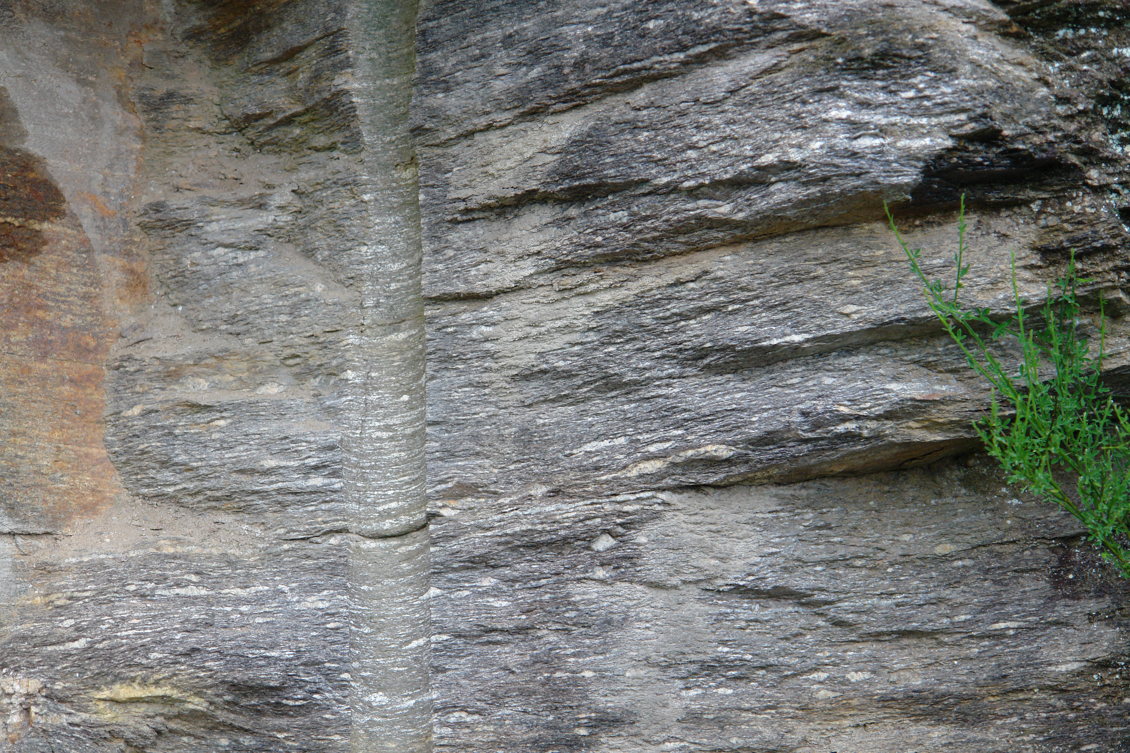
Augen gneiss in the basement
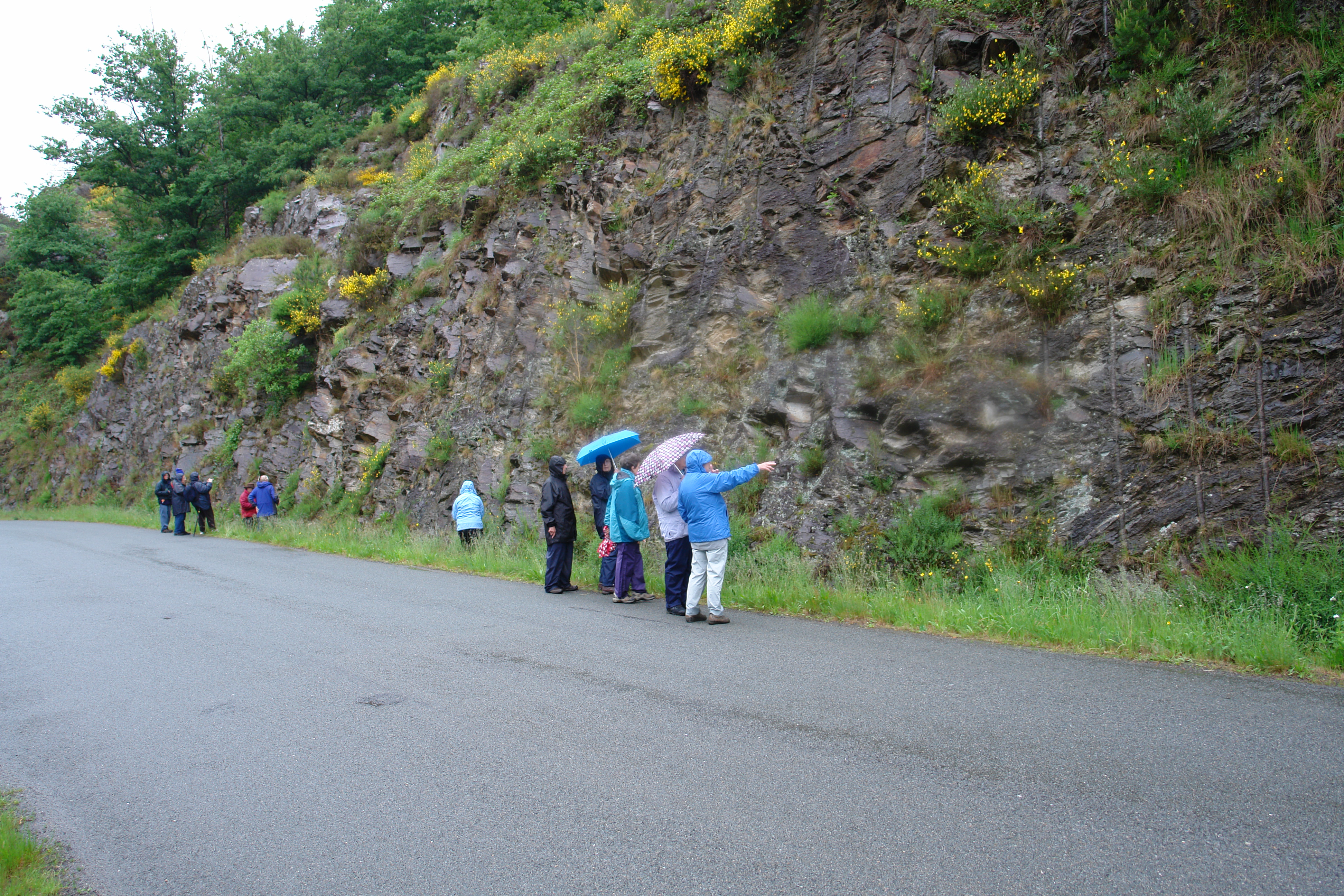
Looking at the basement near Menat in the valley of the Sioule
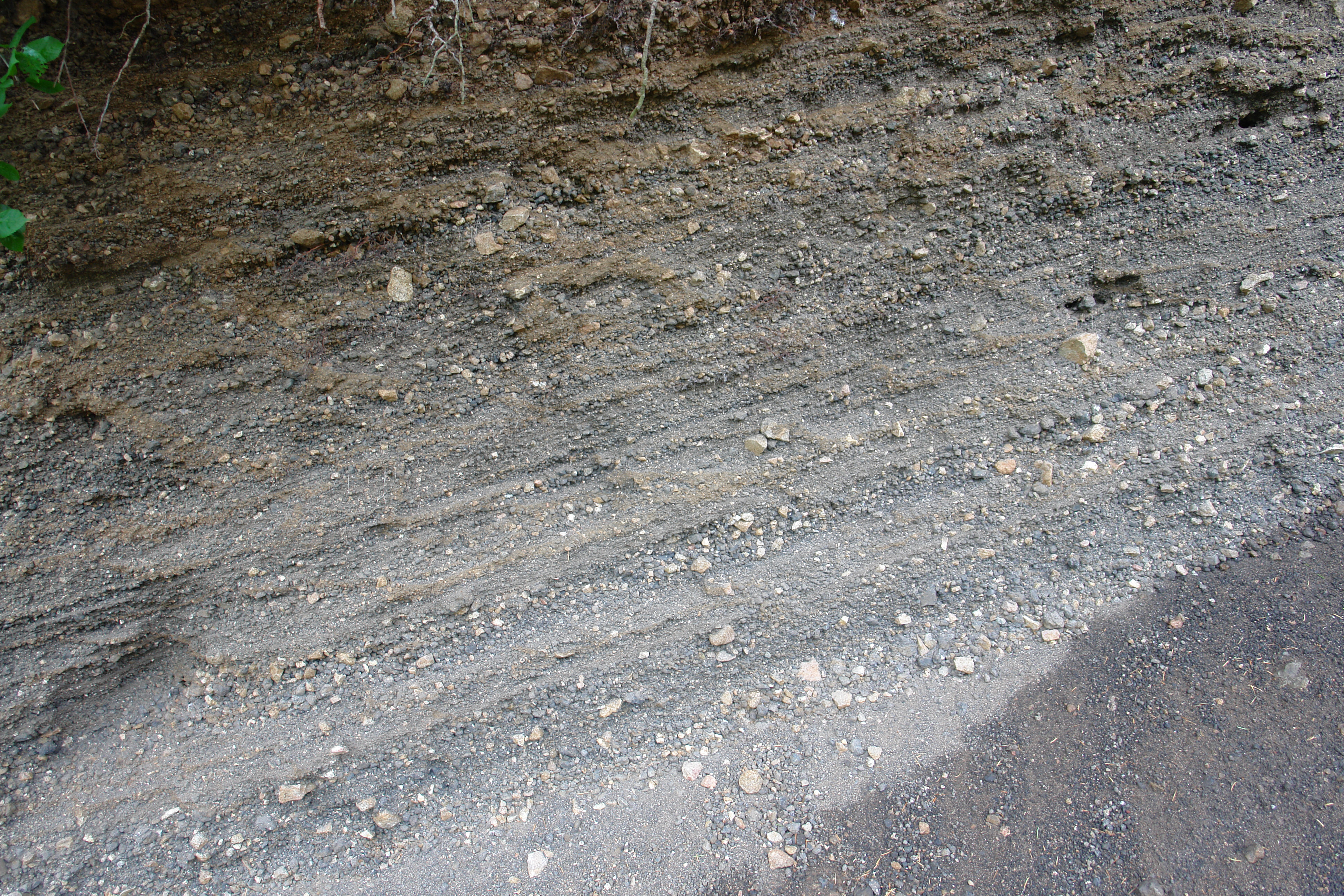
The scoria produced by the maar
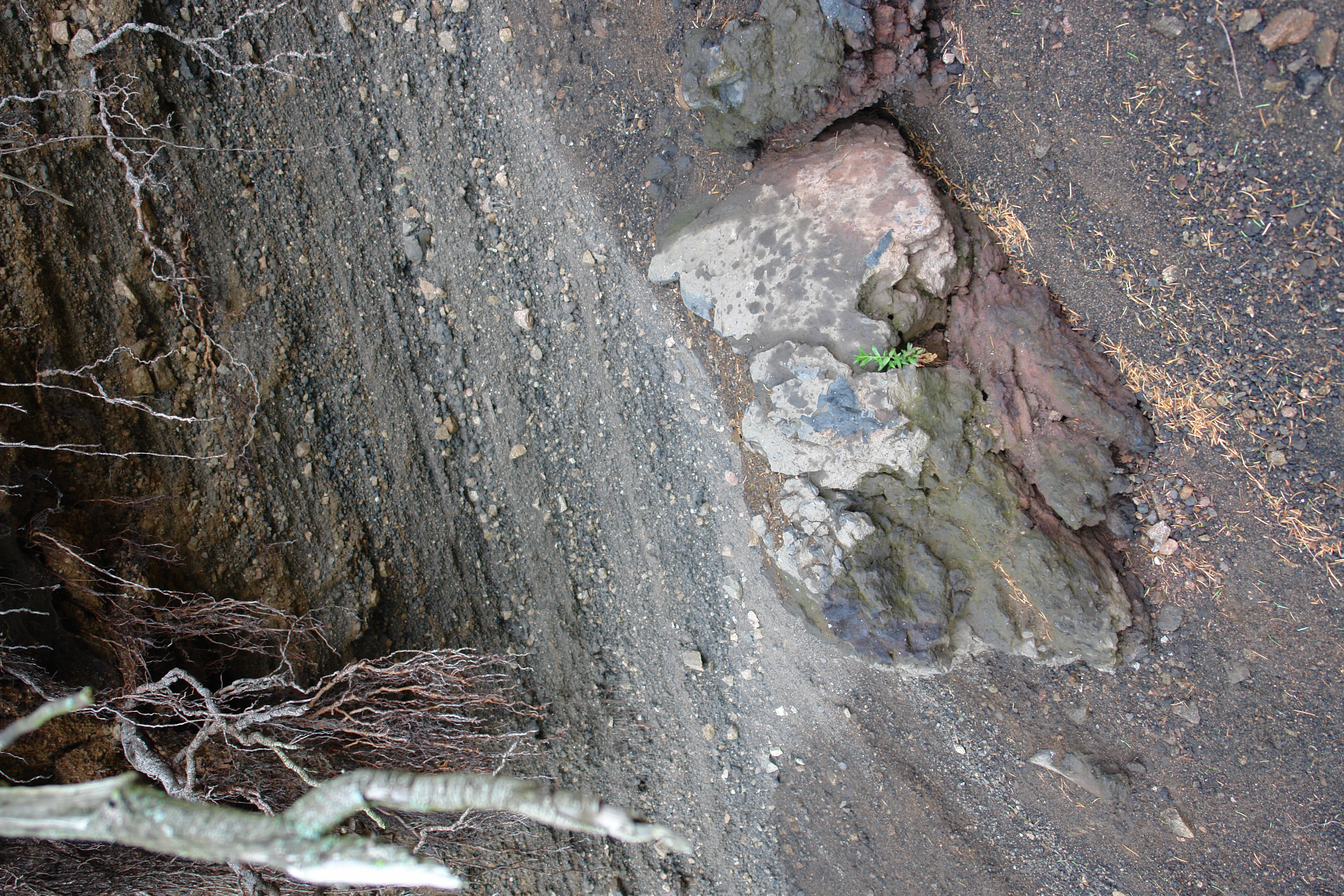
The scoria has large lumps in it
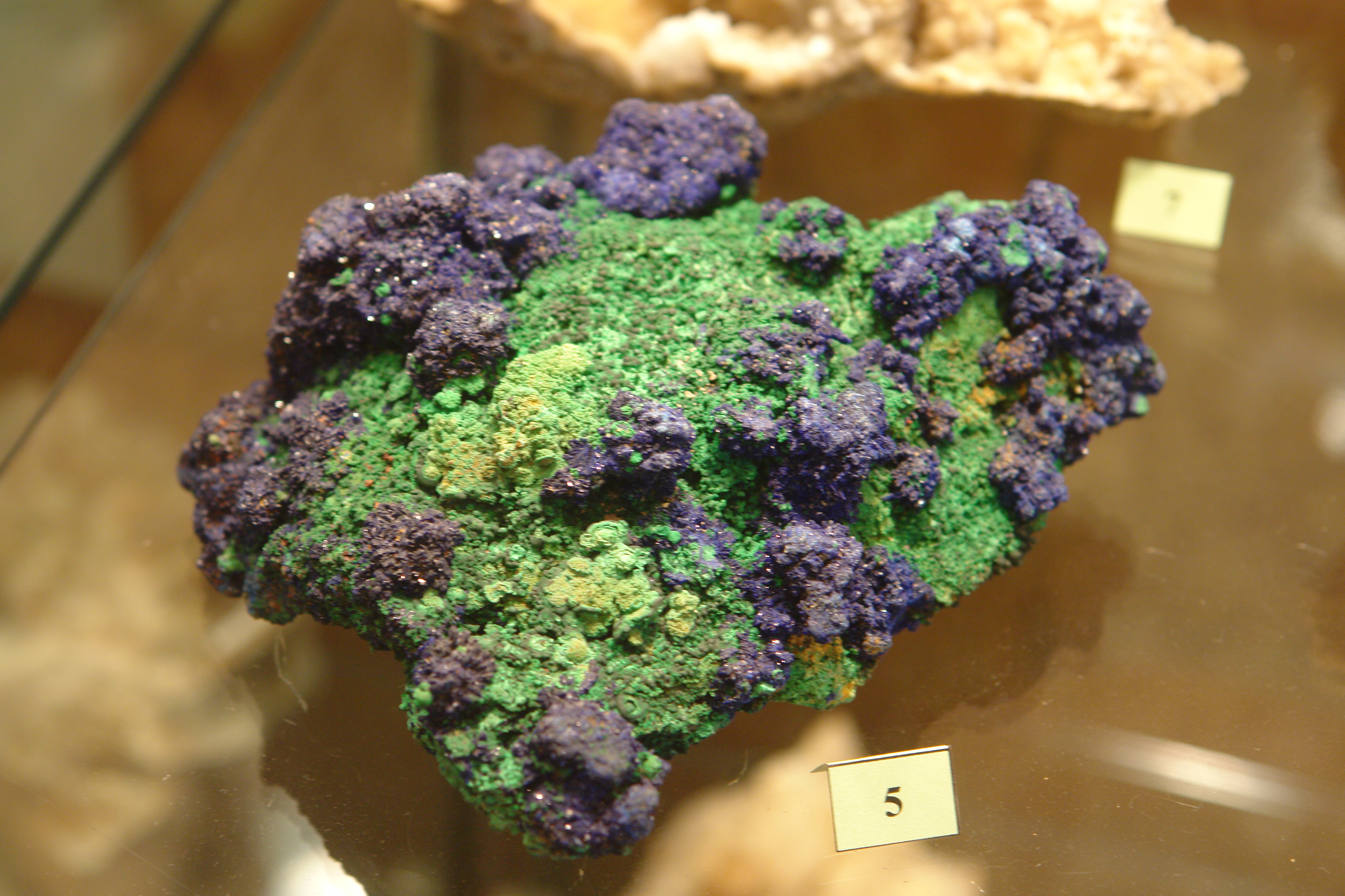
Specimen in the mineral museum at Wolframines
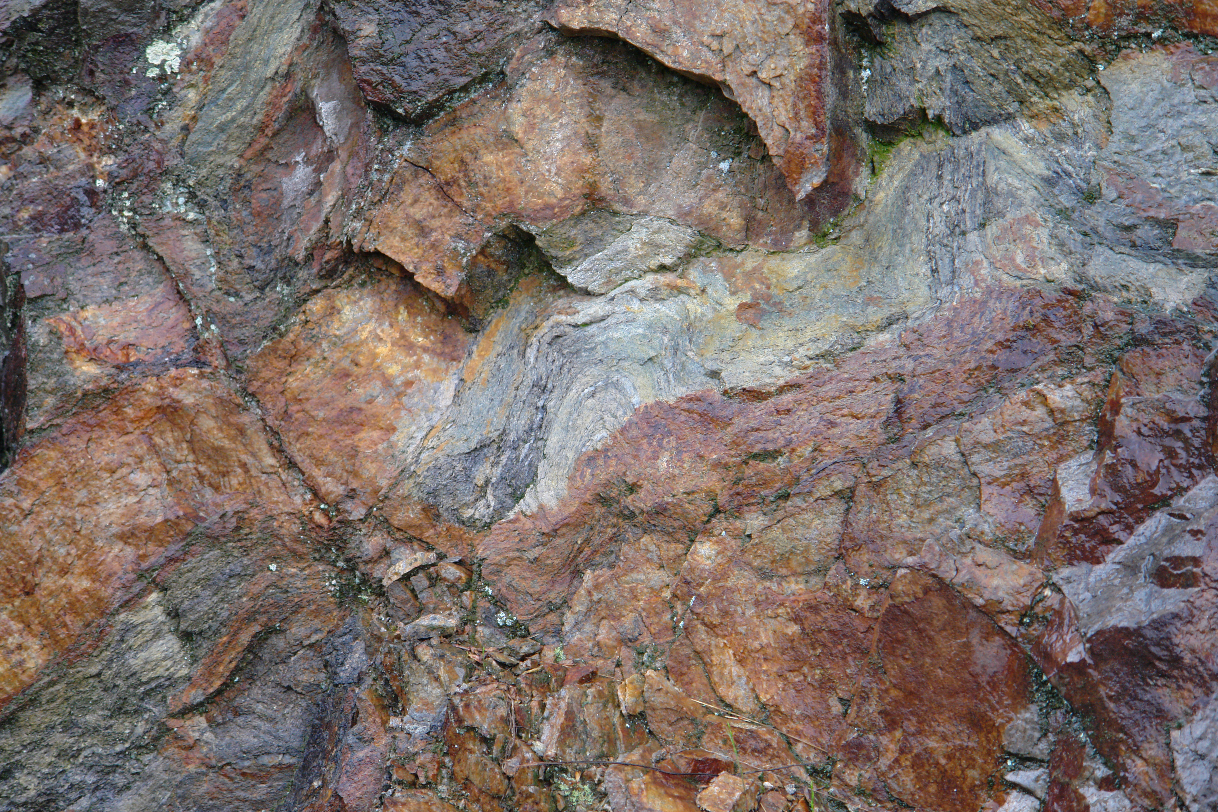
Folds in the basement
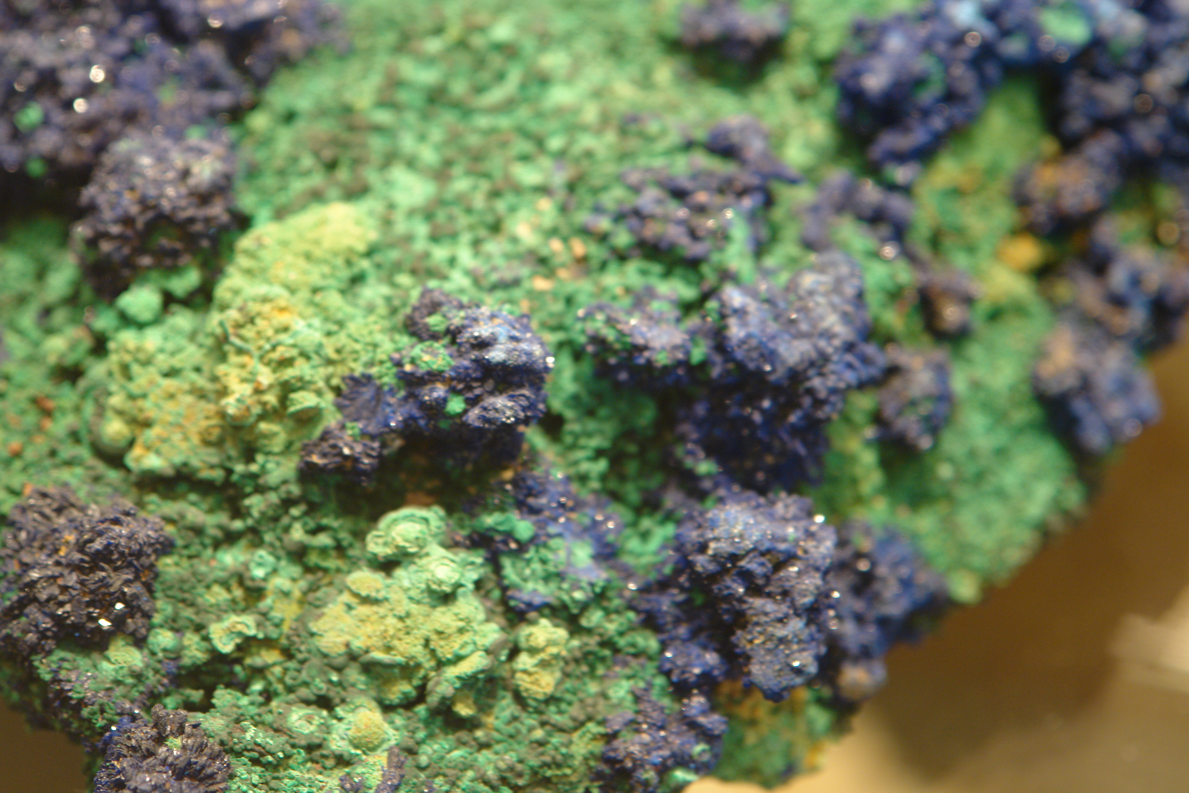
Specimen in the mineral museum at Wolframines
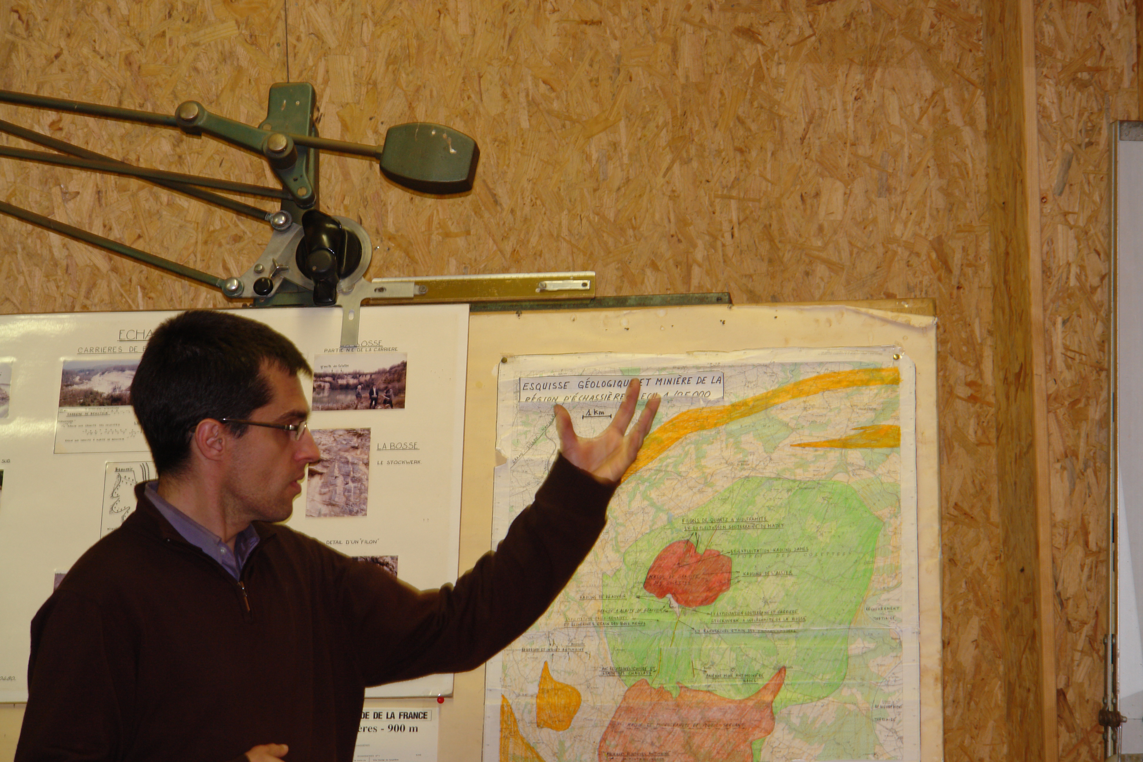
The curator of the Wolframines mineral museum explains the geology
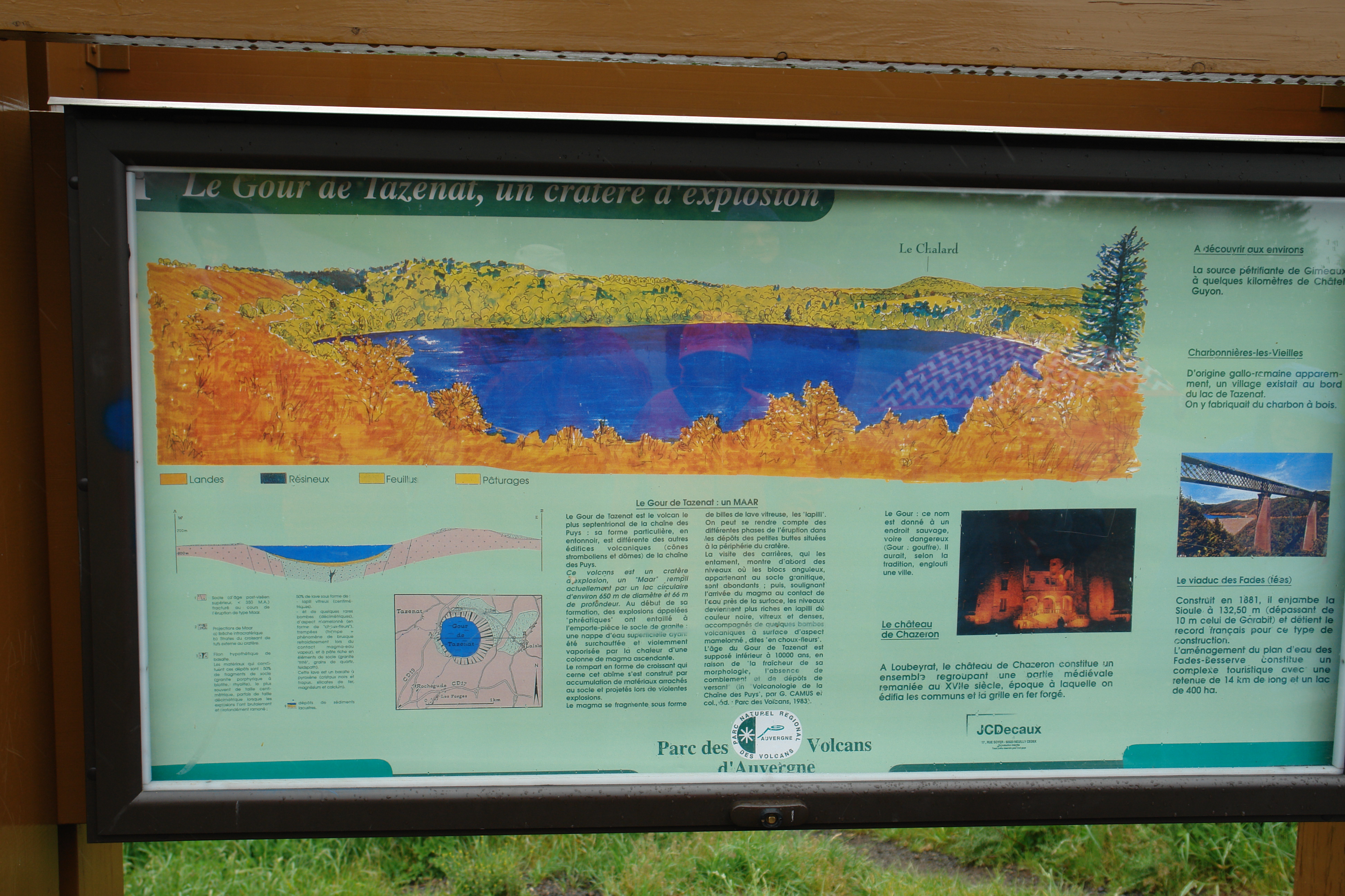
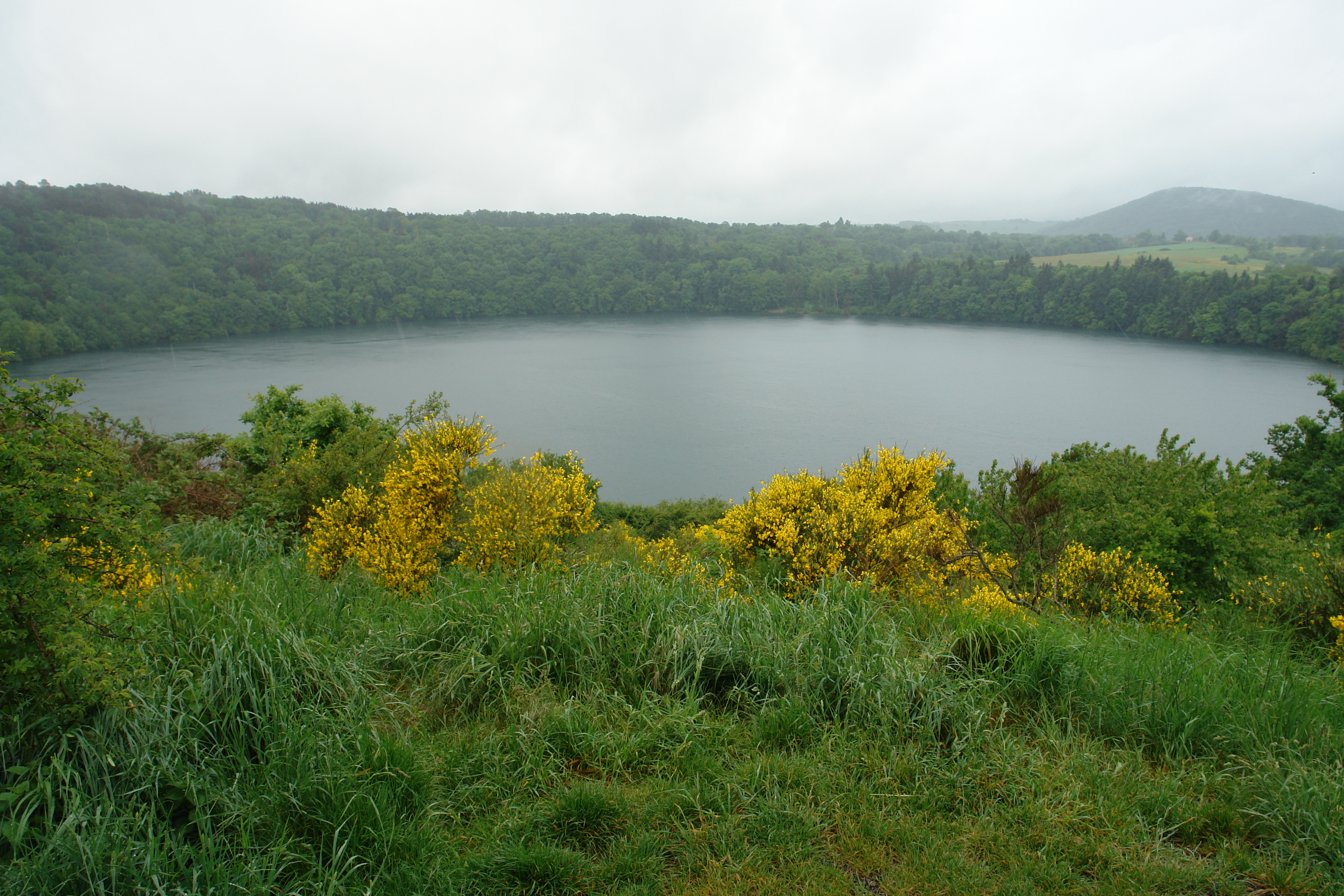
All you need to know about Le Gout de Tazenac - a maar
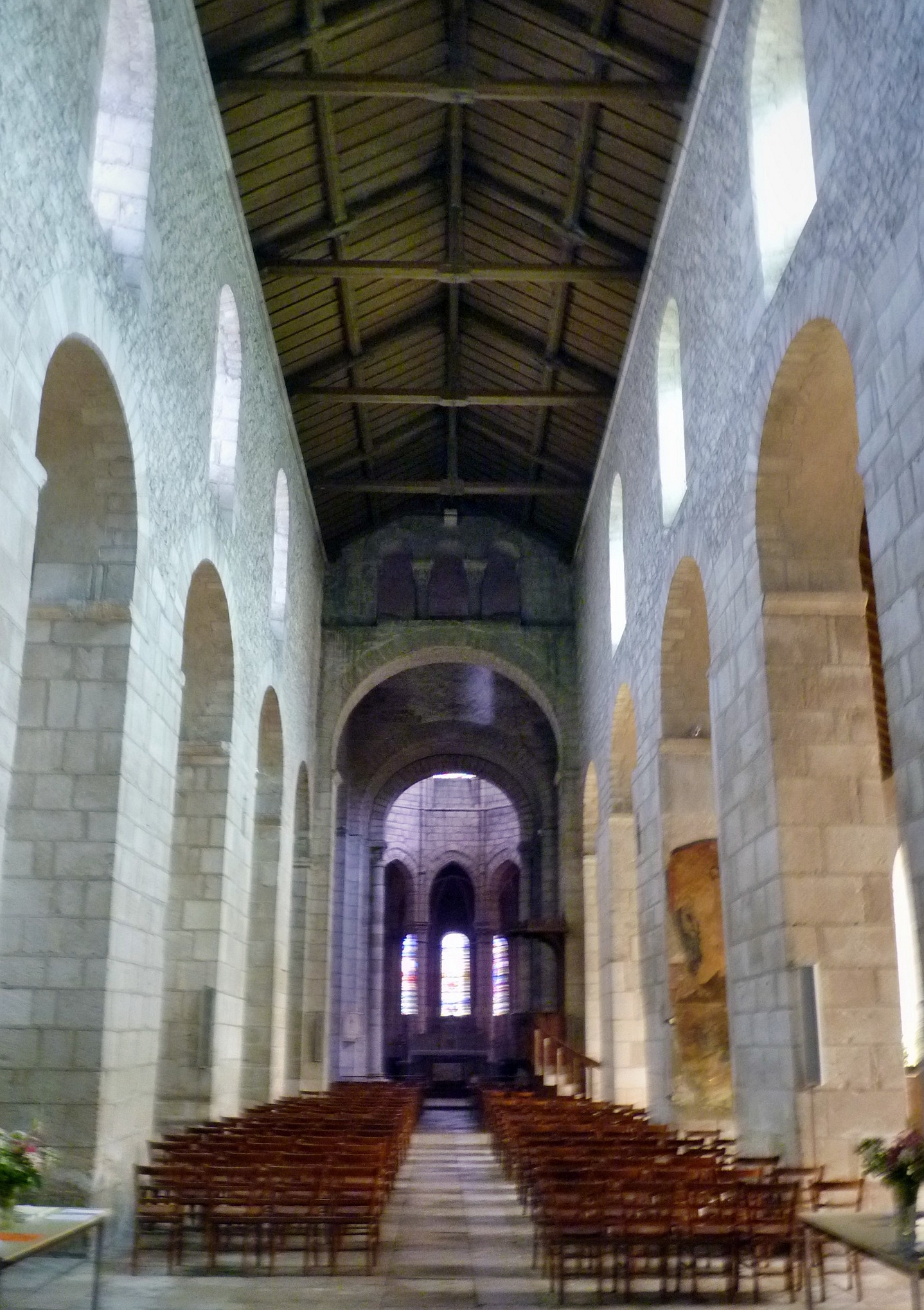
Châteauneuf-Les-Bains
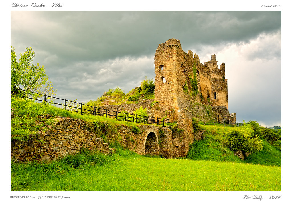
Château Rocher Blot [Puy de Dôme]
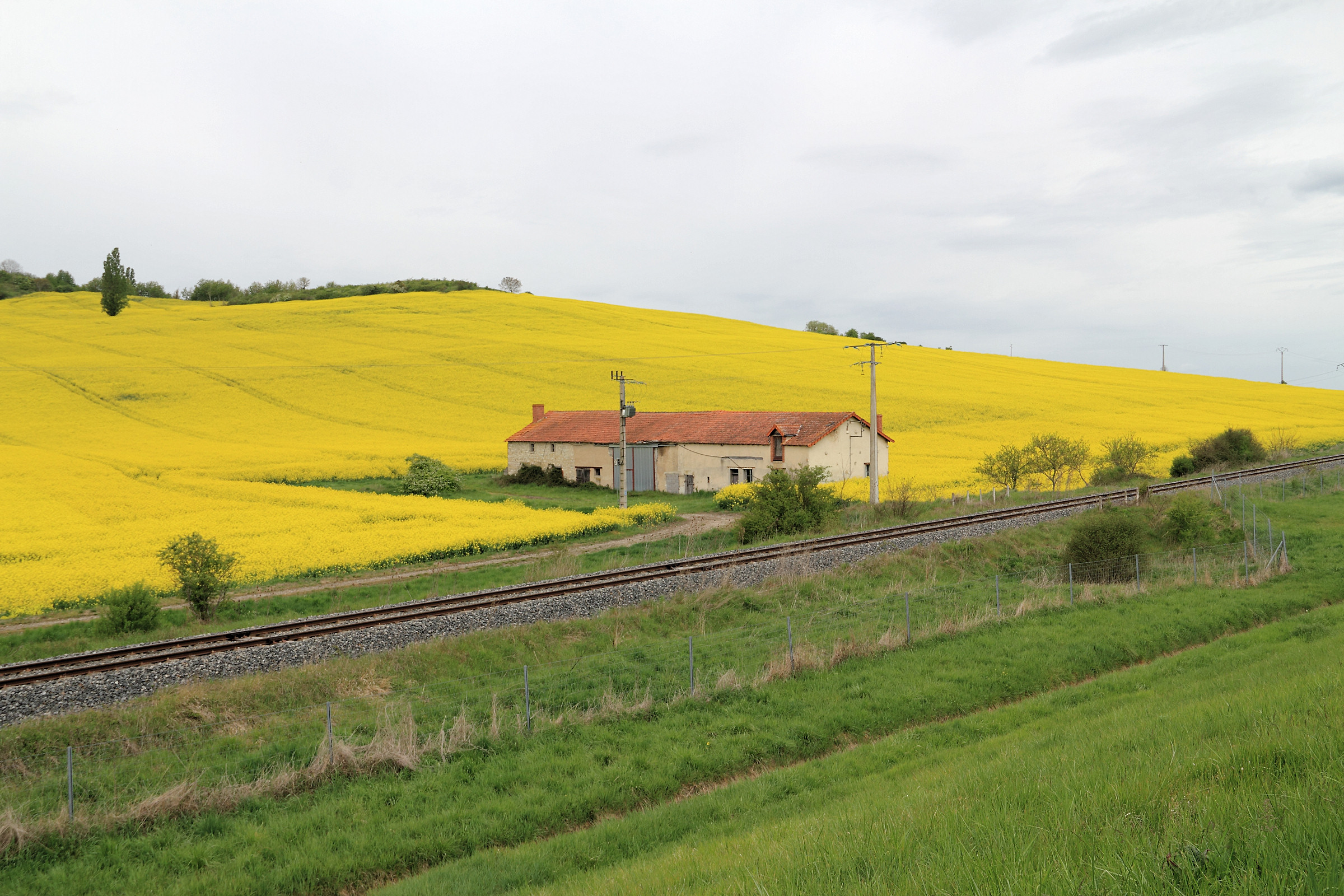
Ferme au bord de la voie ferrée

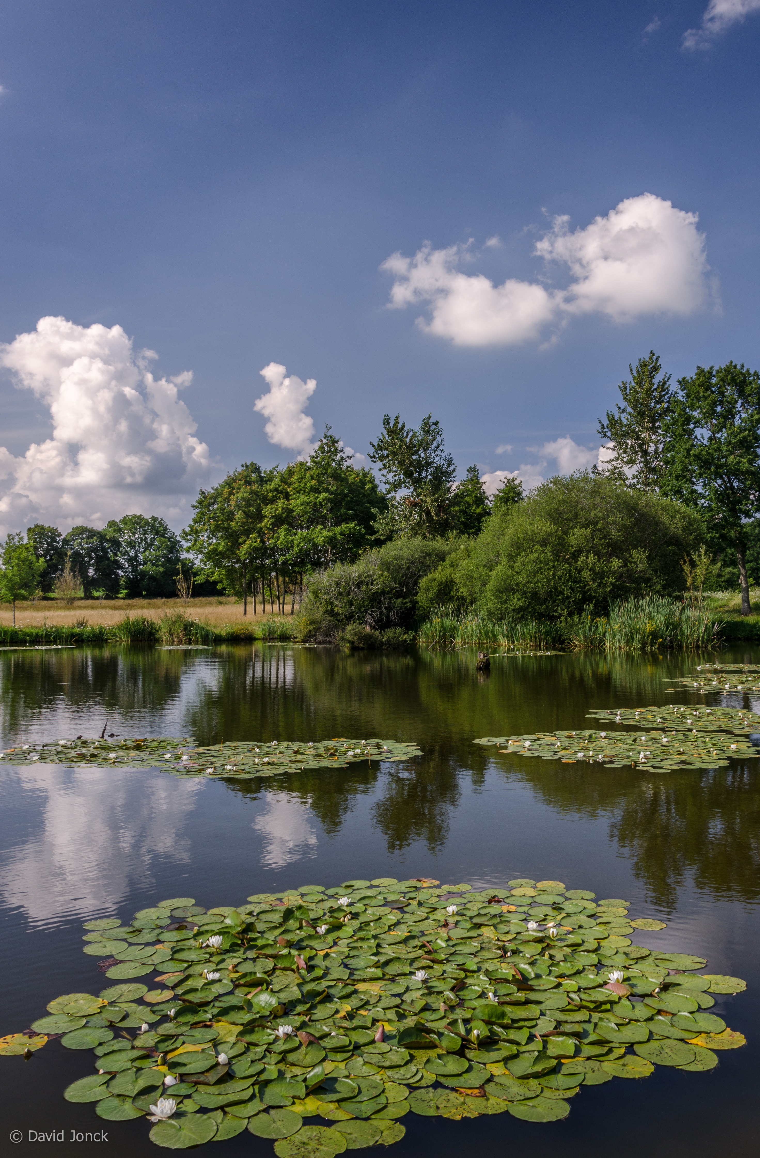
Etang Philippe
Environs de Veauce (Allier, France)

Vue de la chaîne des Puys depuis Saint Hippolyte
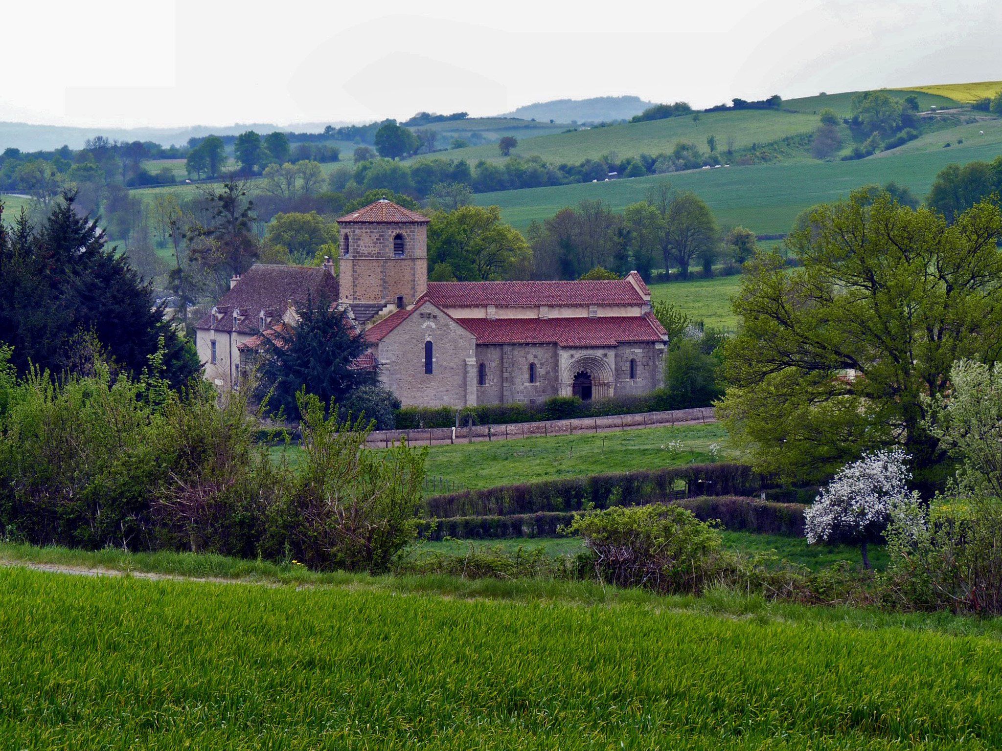
Saint-Hilaire-la-Croix
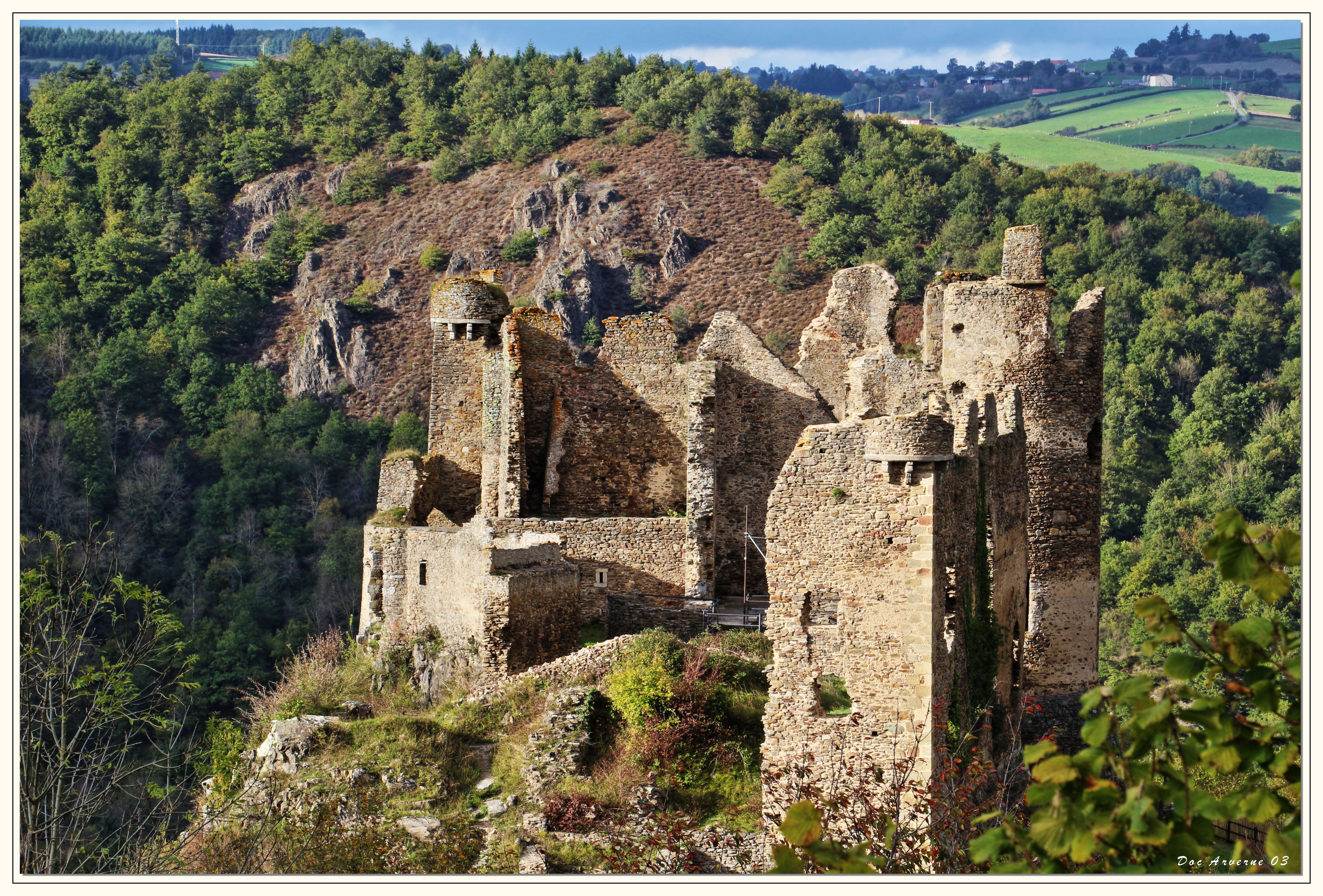
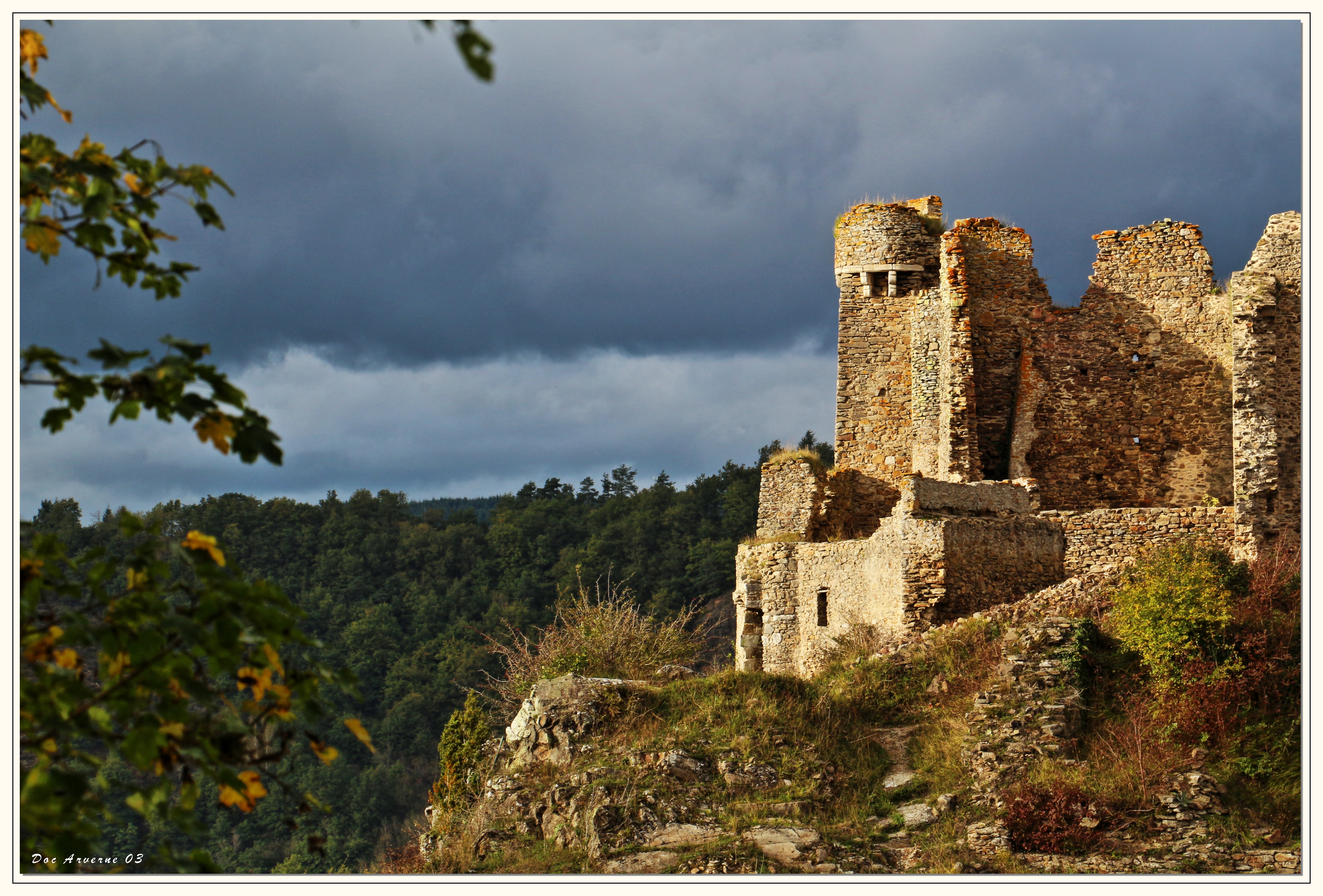
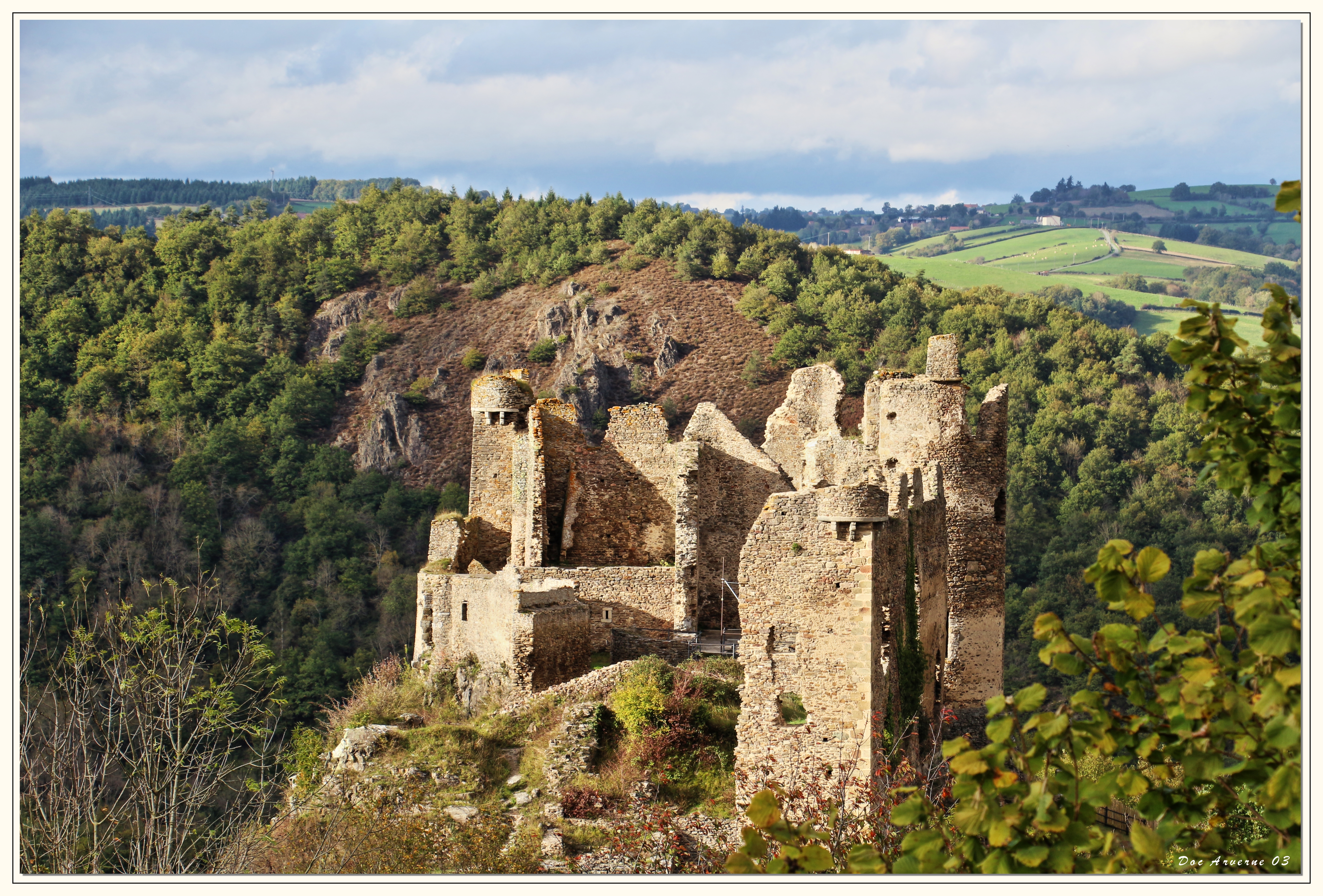
Château-Rocher
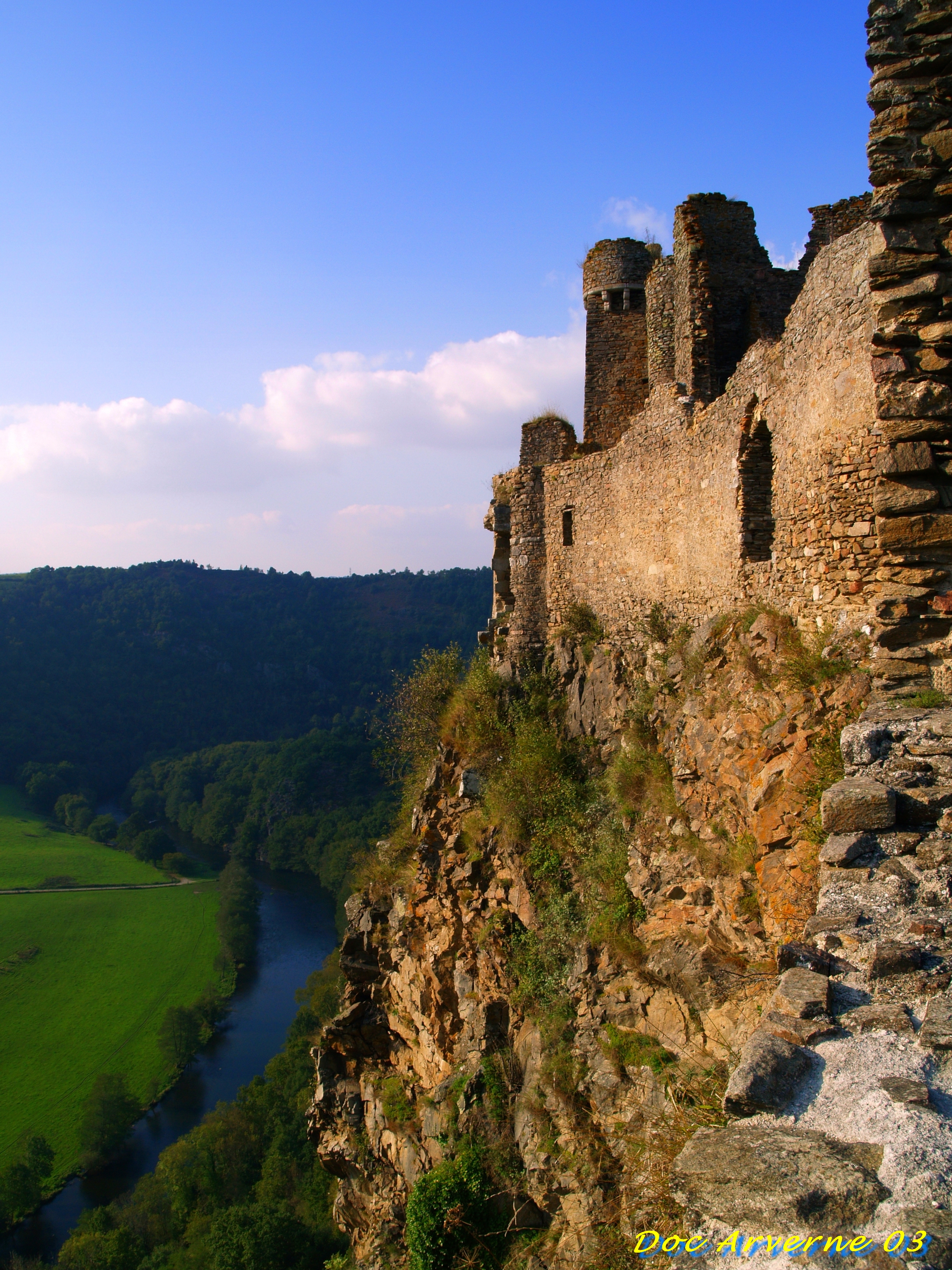
Château Rocher
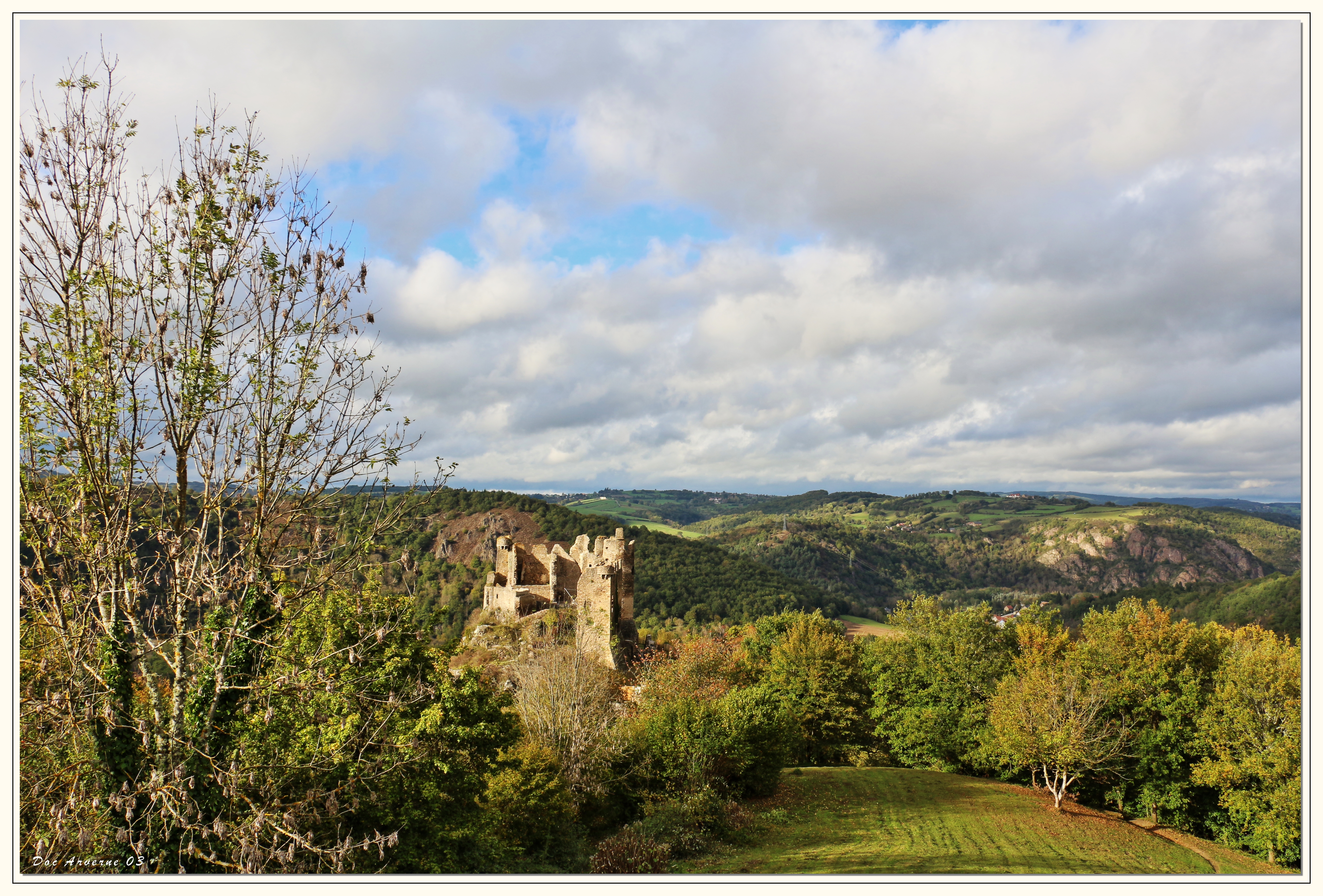
Château-Rocher

Self portrait by a Lake
Château-Rocher
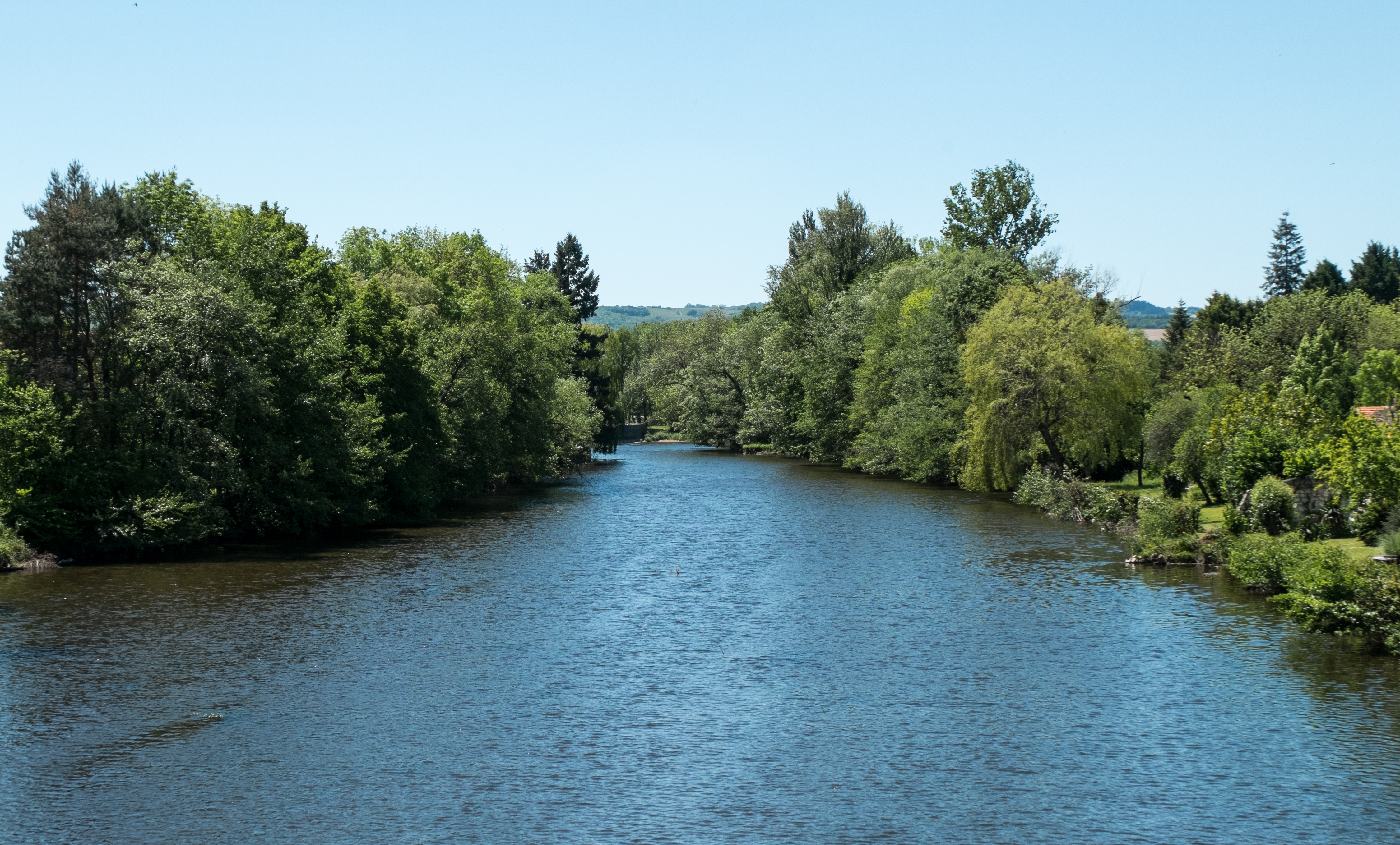
La Sioule à Ébreuil (Allier, France)
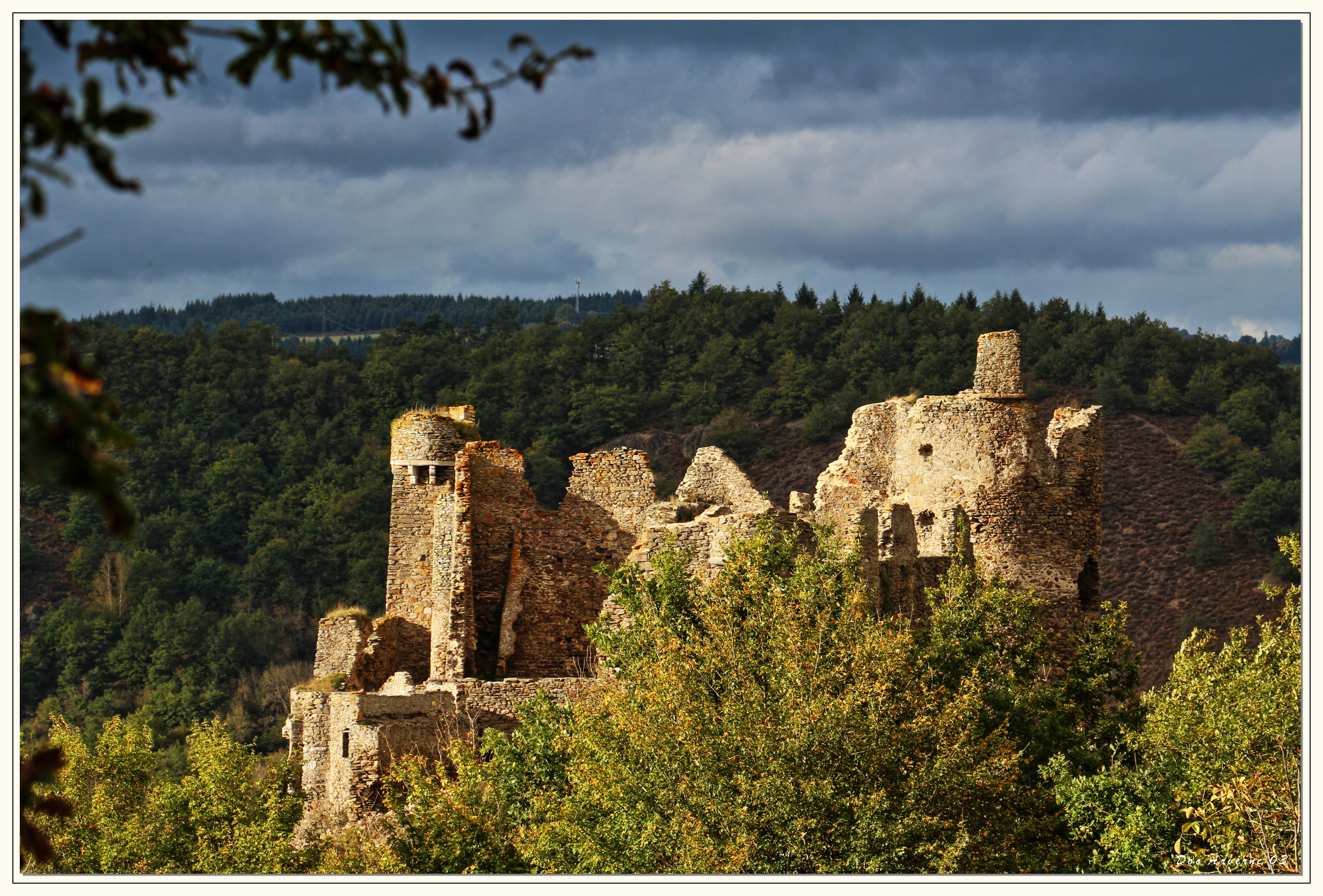
Château-Rocher
Quiétude
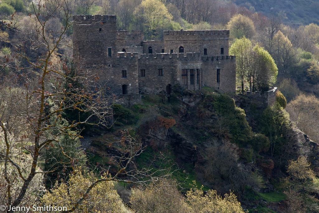
Chateau de Chouvigny
Château-Rocher : vue sur le Pont de Menat
Etang Philippe-2-2.jpg
Château-Rocher
AUVERGNE BEGUES
Topographic Map of 1 D, Pouzol, France
Find elevation by address:

Places near 1 D, Pouzol, France:
Pouzol
Lalizolle
2 Chemin des Percières, Lalizolle, France
Échassières
D, Échassières, France
Le Bourg, Neuf-Église, France
Neuf-Église
Chez Voyon, Durmignat, France
Durmignat
1 Route de la Boule, Saint-Éloy-les-Mines, France
8 Chemin des Buvats, Vicq, France
Charbonnières-les-vieilles
19 D19, Charbonnières-les-Vieilles, France
Vicq
Saint-Éloy-les-mines
6 Rue de Montjoie, Youx, France
Manzat
9 Les Marteaux, Manzat, France
D68, Blomard, France
Blomard
Recent Searches:
- Elevation of Elwyn Dr, Roanoke Rapids, NC, USA
- Elevation of Congressional Dr, Stevensville, MD, USA
- Elevation of Bellview Rd, McLean, VA, USA
- Elevation of Stage Island Rd, Chatham, MA, USA
- Elevation of Shibuya Scramble Crossing, 21 Udagawacho, Shibuya City, Tokyo -, Japan
- Elevation of Jadagoniai, Kaunas District Municipality, Lithuania
- Elevation of Pagonija rock, Kranto 7-oji g. 8"N, Kaunas, Lithuania
- Elevation of Co Rd 87, Jamestown, CO, USA
- Elevation of Tenjo, Cundinamarca, Colombia
- Elevation of Côte-des-Neiges, Montreal, QC H4A 3J6, Canada