Elevation of Bear Mountain, Anaconda, MT, USA
Location: United States > Montana > Deer Lodge County > Anaconda >
Longitude: -113.00837
Latitude: 45.9104807
Elevation: 2632m / 8635feet
Barometric Pressure: 73KPa
Elevation Map:
Satellite Map:
Related Photos:
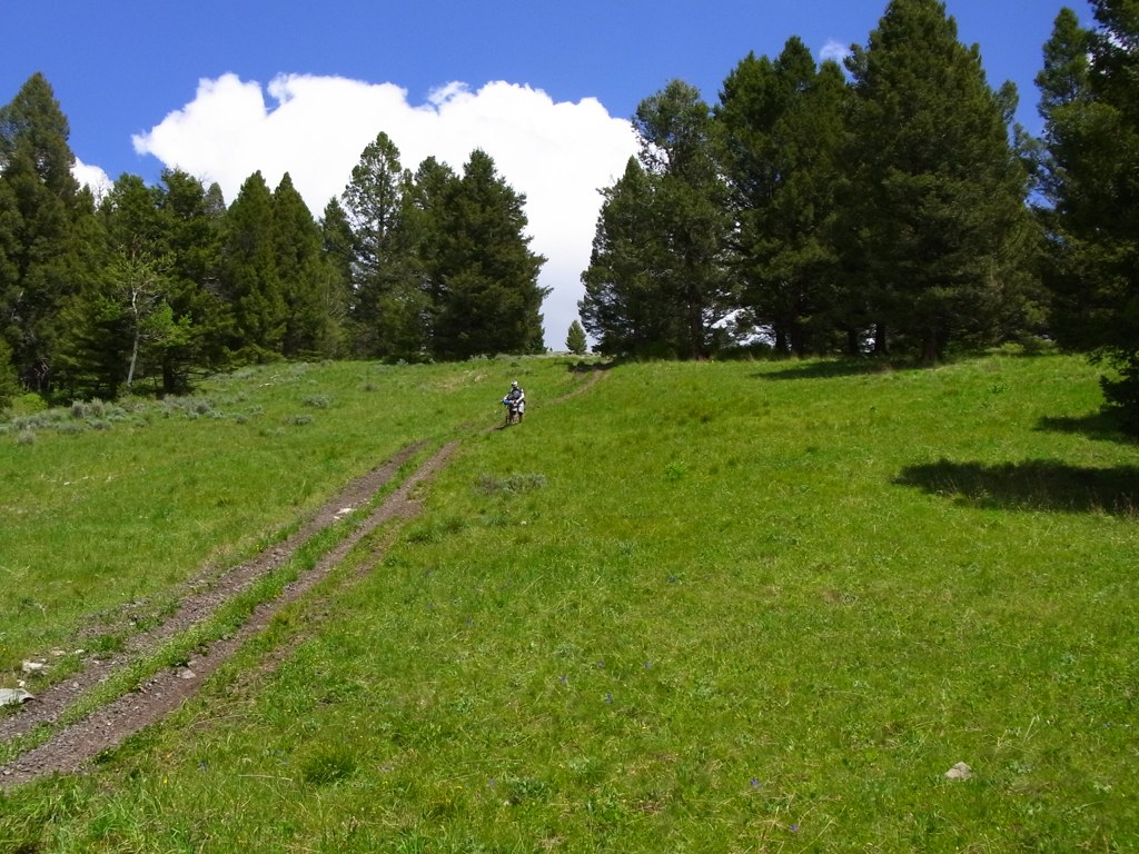
Wider view of Fleecer Ridge
Topographic Map of Bear Mountain, Anaconda, MT, USA
Find elevation by address:

Places near Bear Mountain, Anaconda, MT, USA:
Dickie Peak
Dickie Hills Hp
Little Granulated Mountain
Granulated Mountain
Sugarloaf Mountain
Grassy Mountain
Wise River
65221 Mt-43
2080 Jerry Creek Rd
211 Tippy Toe Trl
1579 Outlaw Trail
Seymour Campground
Seymour Creek Campground And Picnic Area
Anaconda, MT, USA
Deer Lodge County
816 W 4th St
Anaconda
718 E Park Ave
Mount Evans
Willow Glen Rd, Anaconda, MT, USA
Recent Searches:
- Elevation of Corso Fratelli Cairoli, 35, Macerata MC, Italy
- Elevation of Tallevast Rd, Sarasota, FL, USA
- Elevation of 4th St E, Sonoma, CA, USA
- Elevation of Black Hollow Rd, Pennsdale, PA, USA
- Elevation of Oakland Ave, Williamsport, PA, USA
- Elevation of Pedrógão Grande, Portugal
- Elevation of Klee Dr, Martinsburg, WV, USA
- Elevation of Via Roma, Pieranica CR, Italy
- Elevation of Tavkvetili Mountain, Georgia
- Elevation of Hartfords Bluff Cir, Mt Pleasant, SC, USA