Elevation of Mount Evans, Mt Evans, Anaconda, MT, USA
Location: United States > Montana > Deer Lodge County > Anaconda >
Longitude: -113.19060
Latitude: 46.0499246
Elevation: 3183m / 10443feet
Barometric Pressure: 68KPa
Elevation Map:
Satellite Map:
Related Photos:
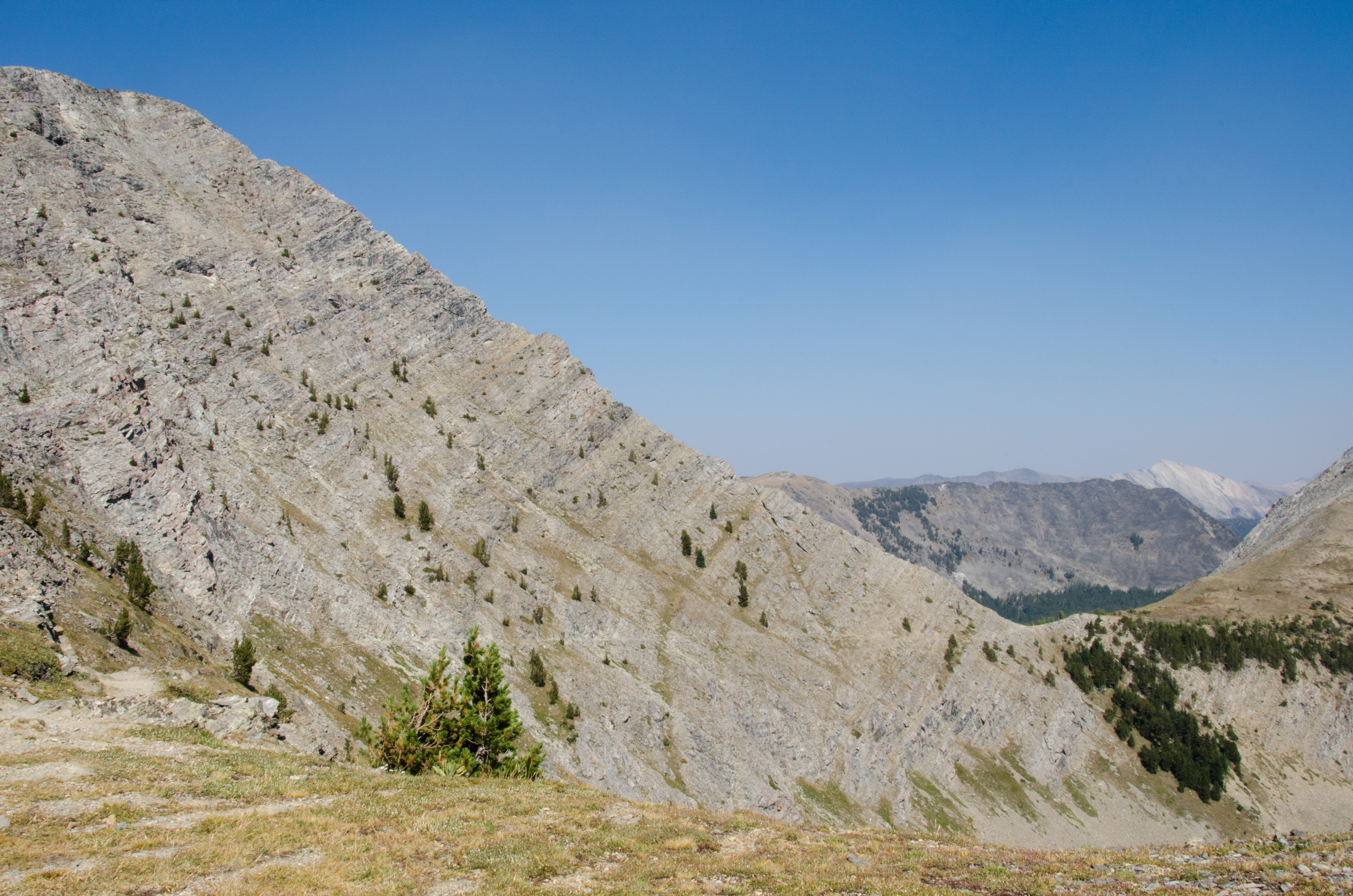
Storm Pass View
Topographic Map of Mount Evans, Mt Evans, Anaconda, MT, USA
Find elevation by address:

Places near Mount Evans, Mt Evans, Anaconda, MT, USA:
Mount Howe
Seymour Campground
Seymour Creek Campground And Picnic Area
Mount Tiny
Kurt Peak
Queener Mountain
Rainbow Mountain
Grouse Hill
Fish Peak
12 Cameron Ave, Anaconda, MT, USA
Grassy Mountain
Anaconda, MT, USA
Deer Lodge County
Long Peak
Meyers Dam
Welcome Hill
Olson Mountain
206 Rumsey St
Cable Mountain
211 Tippy Toe Trl
Recent Searches:
- Elevation of Corso Fratelli Cairoli, 35, Macerata MC, Italy
- Elevation of Tallevast Rd, Sarasota, FL, USA
- Elevation of 4th St E, Sonoma, CA, USA
- Elevation of Black Hollow Rd, Pennsdale, PA, USA
- Elevation of Oakland Ave, Williamsport, PA, USA
- Elevation of Pedrógão Grande, Portugal
- Elevation of Klee Dr, Martinsburg, WV, USA
- Elevation of Via Roma, Pieranica CR, Italy
- Elevation of Tavkvetili Mountain, Georgia
- Elevation of Hartfords Bluff Cir, Mt Pleasant, SC, USA