Elevation of Anaconda, MT, USA
Location: United States > Montana > Deer Lodge County > Anaconda >
Longitude: -113.02122
Latitude: 46.1095314
Elevation: 2112m / 6929feet
Barometric Pressure: 78KPa
Elevation Map:
Satellite Map:
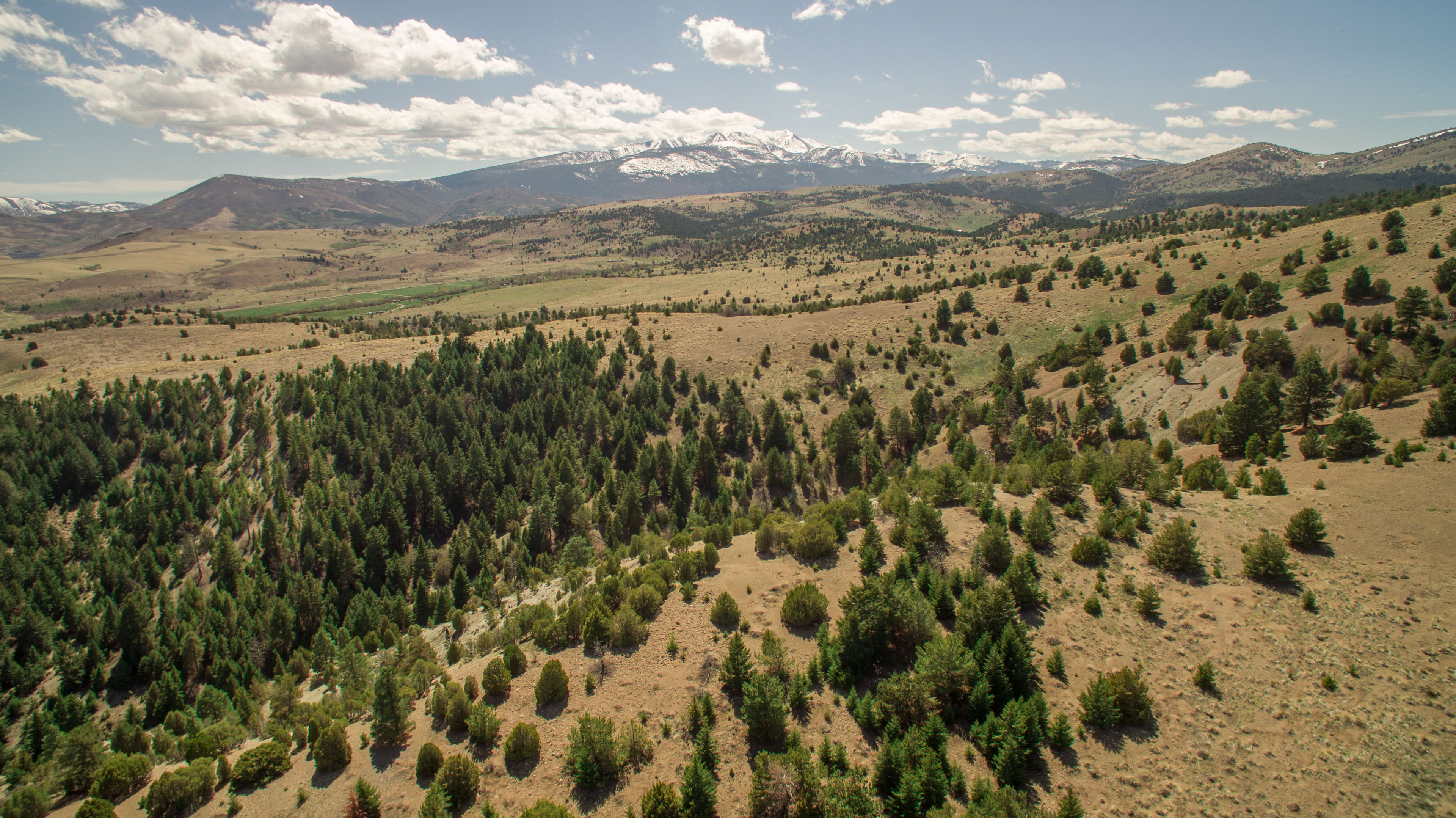
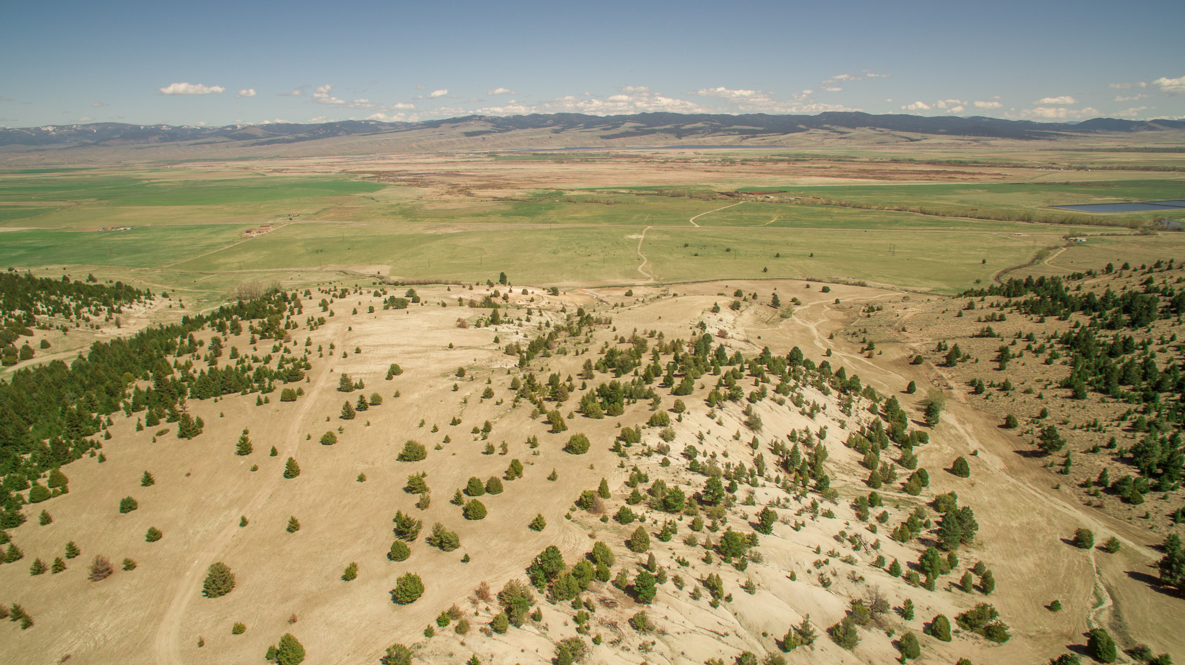
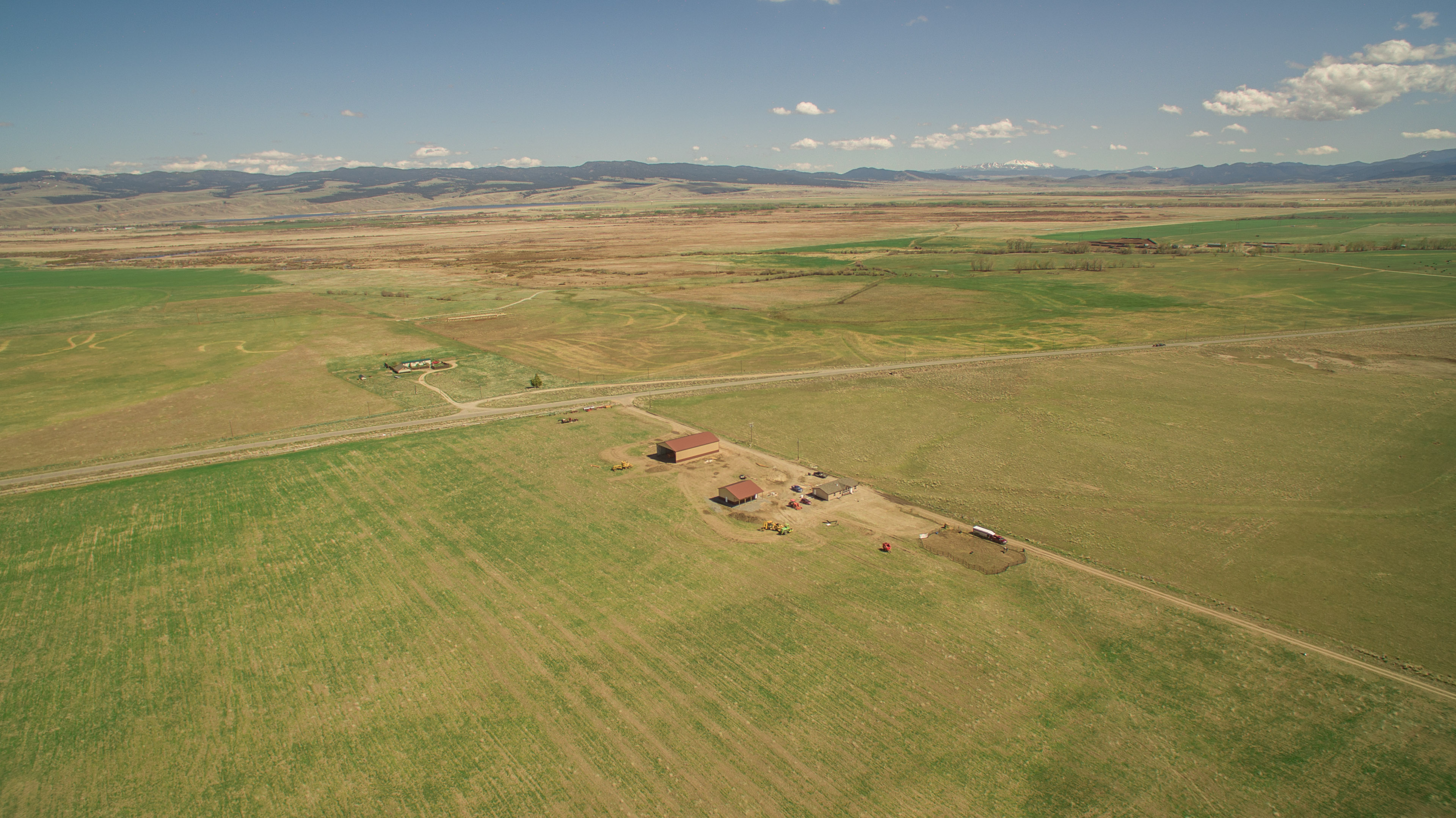
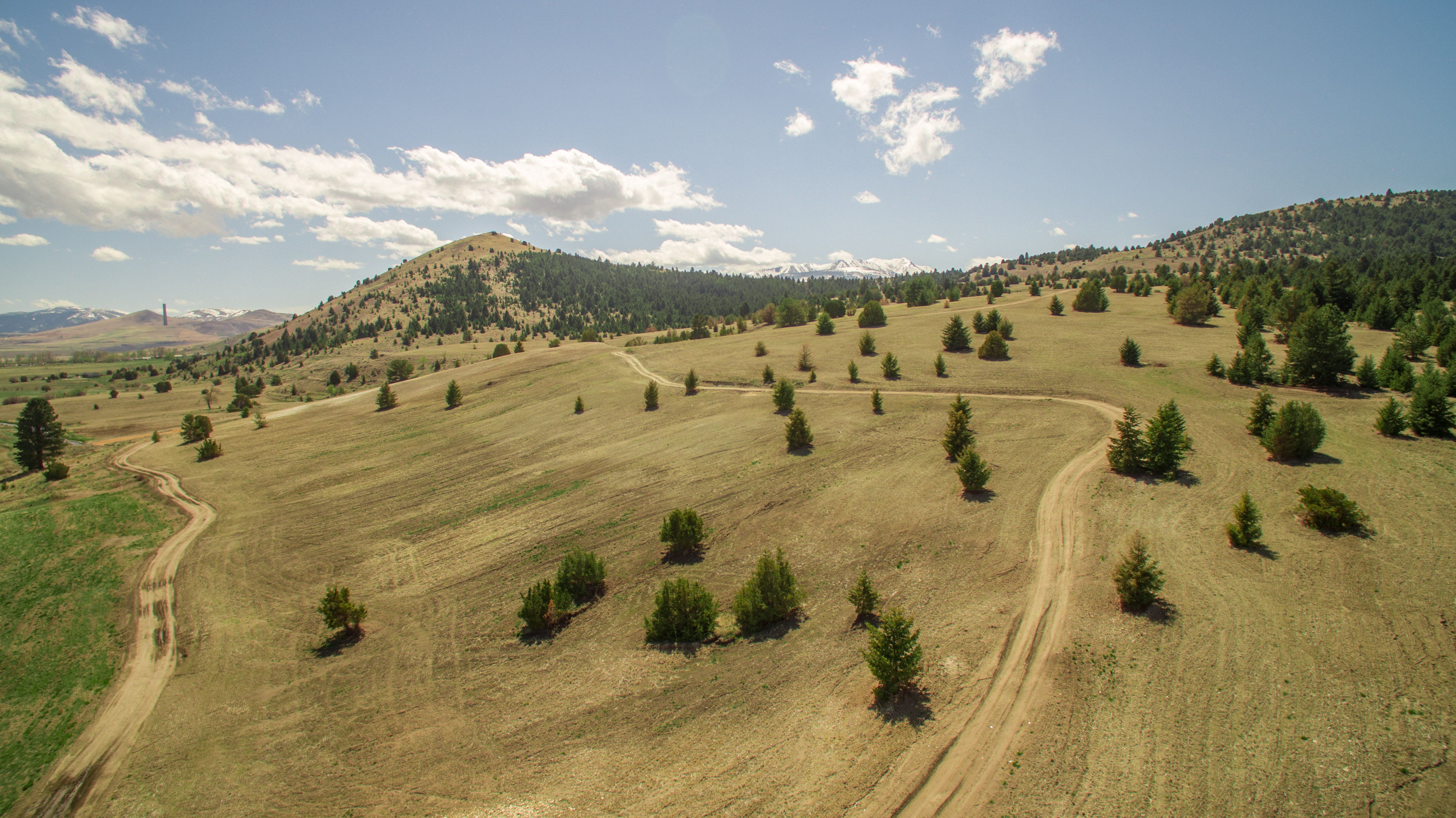
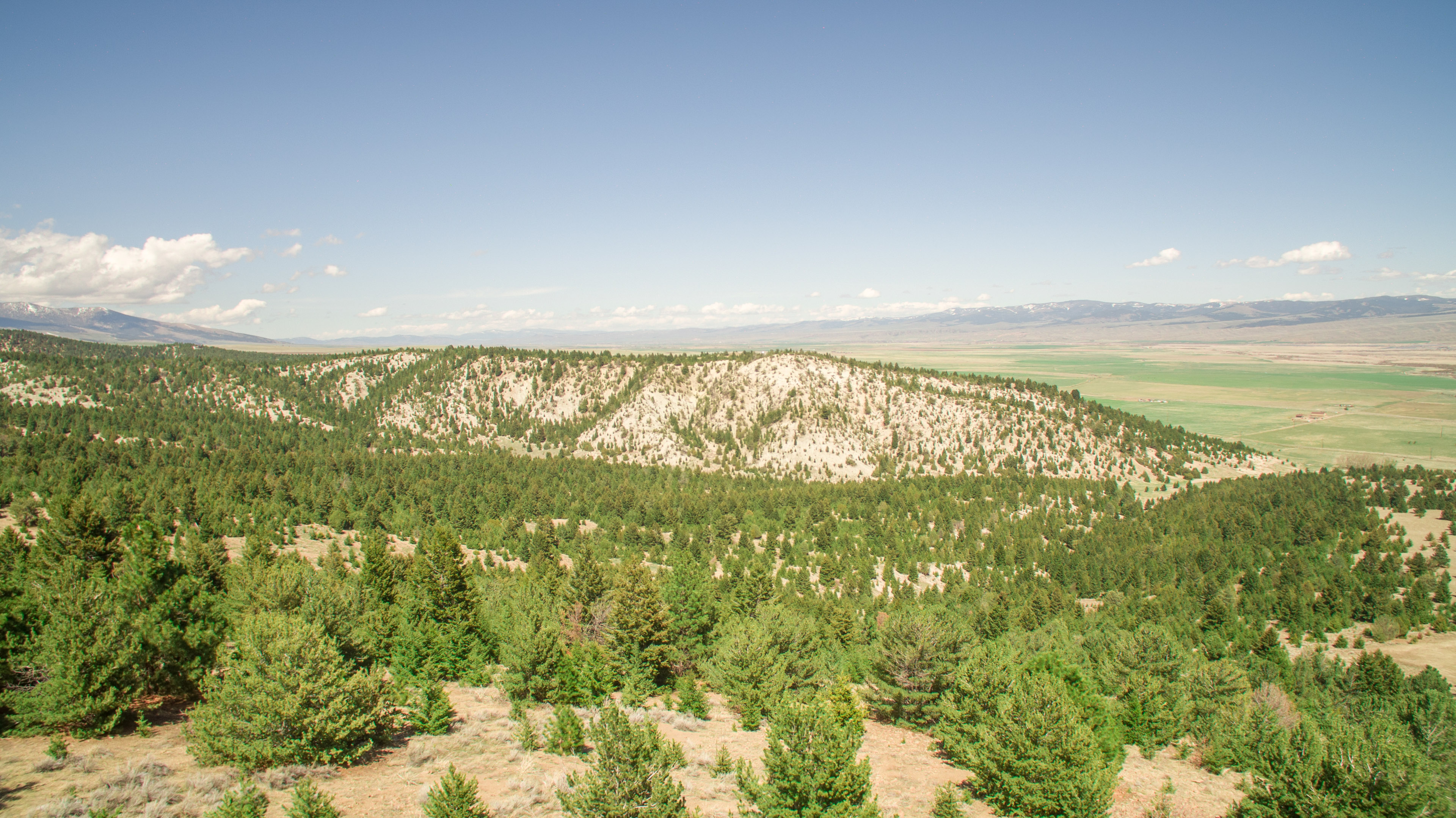
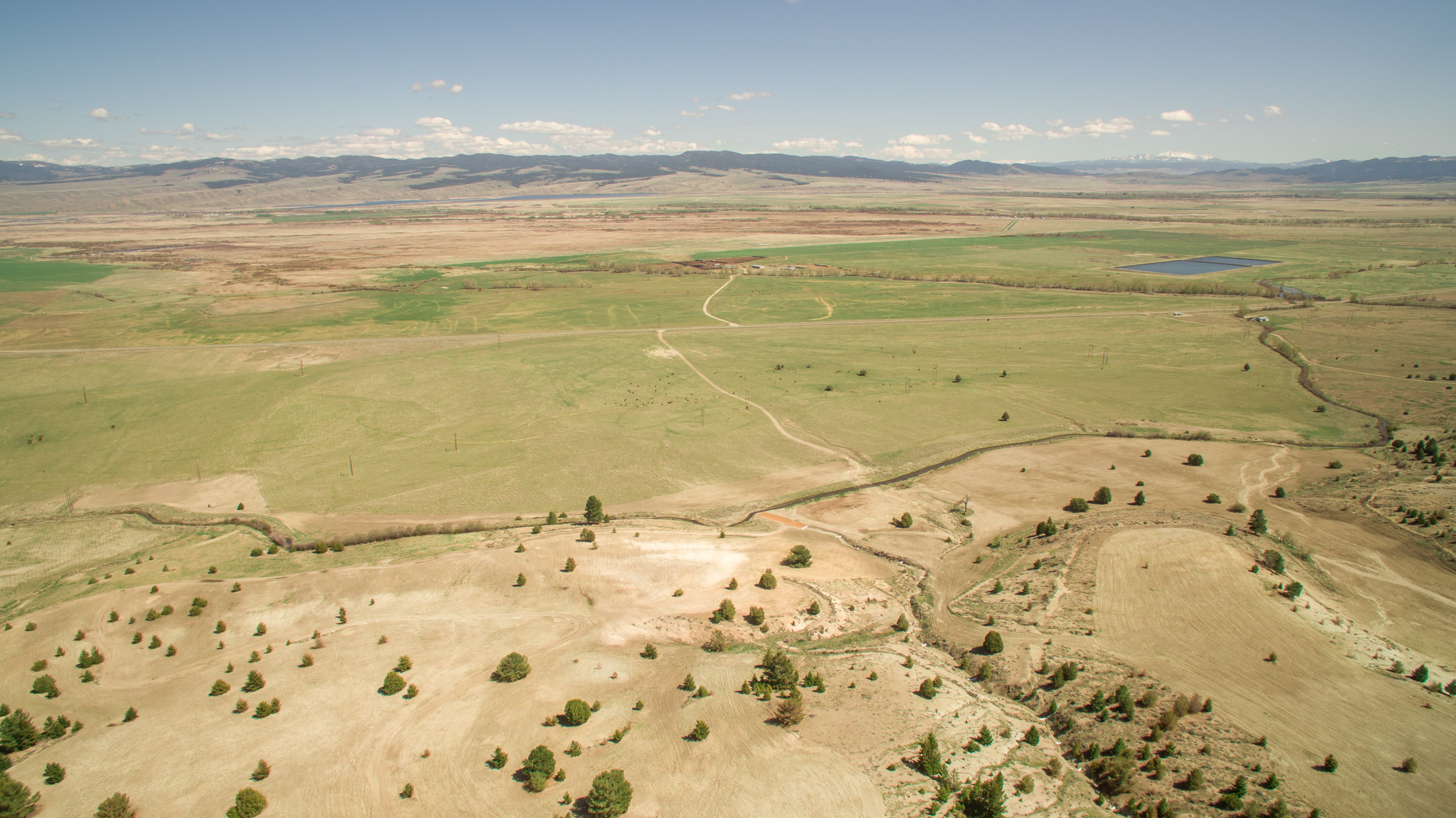
Related Photos:

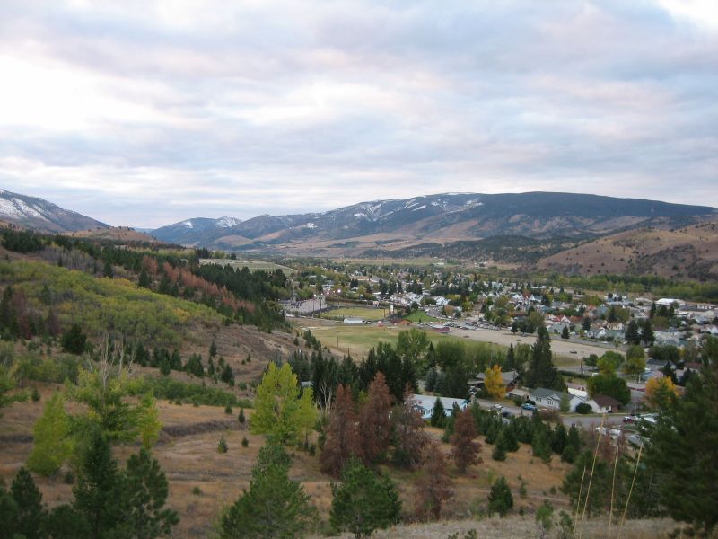
Looking East over Anaconda towards the Washoe Smelter smoke stack.
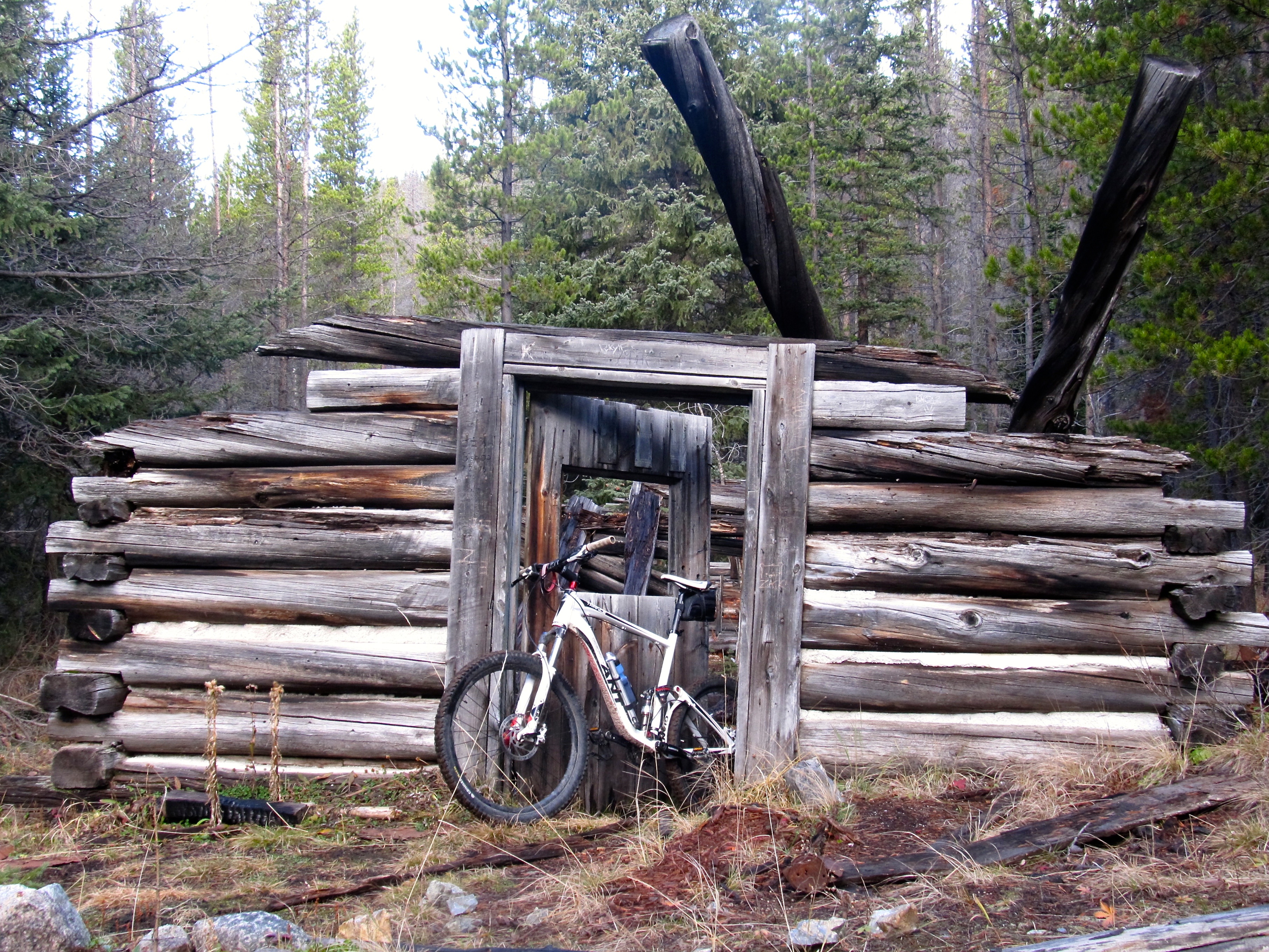
Cabin view. Montana
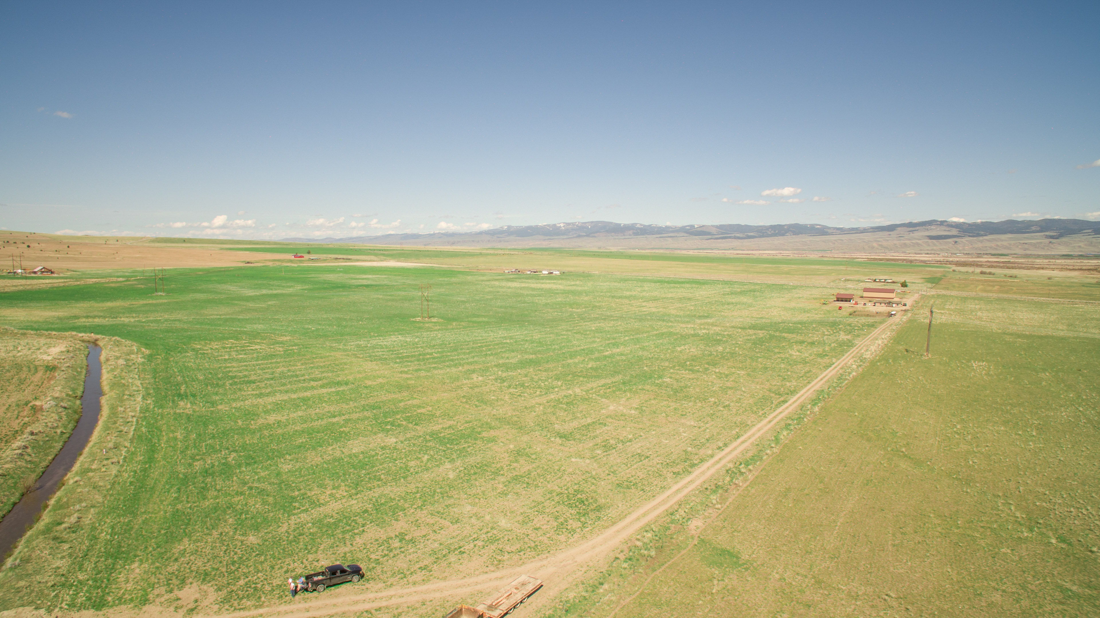
West End of the Valley zoom view
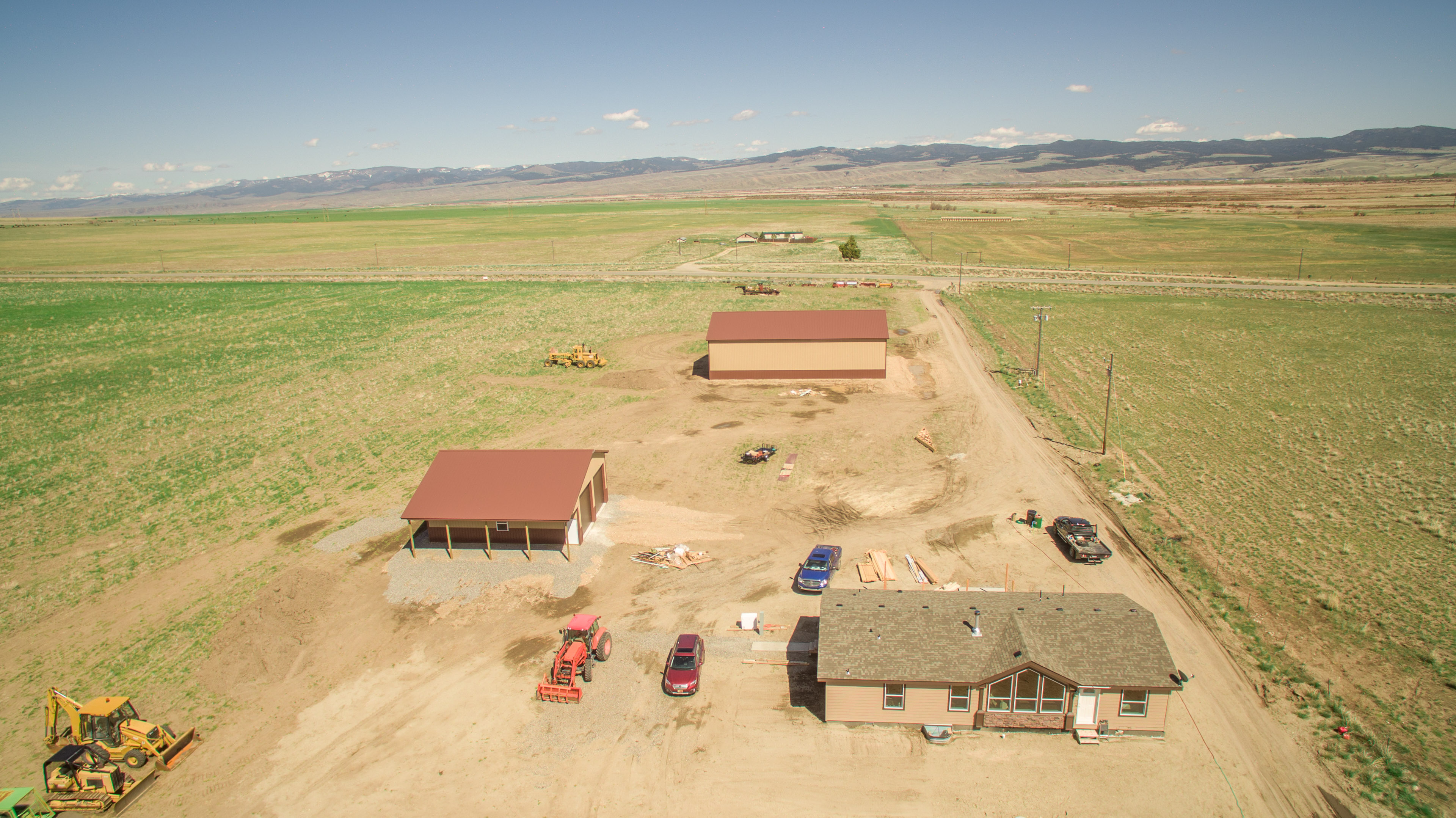
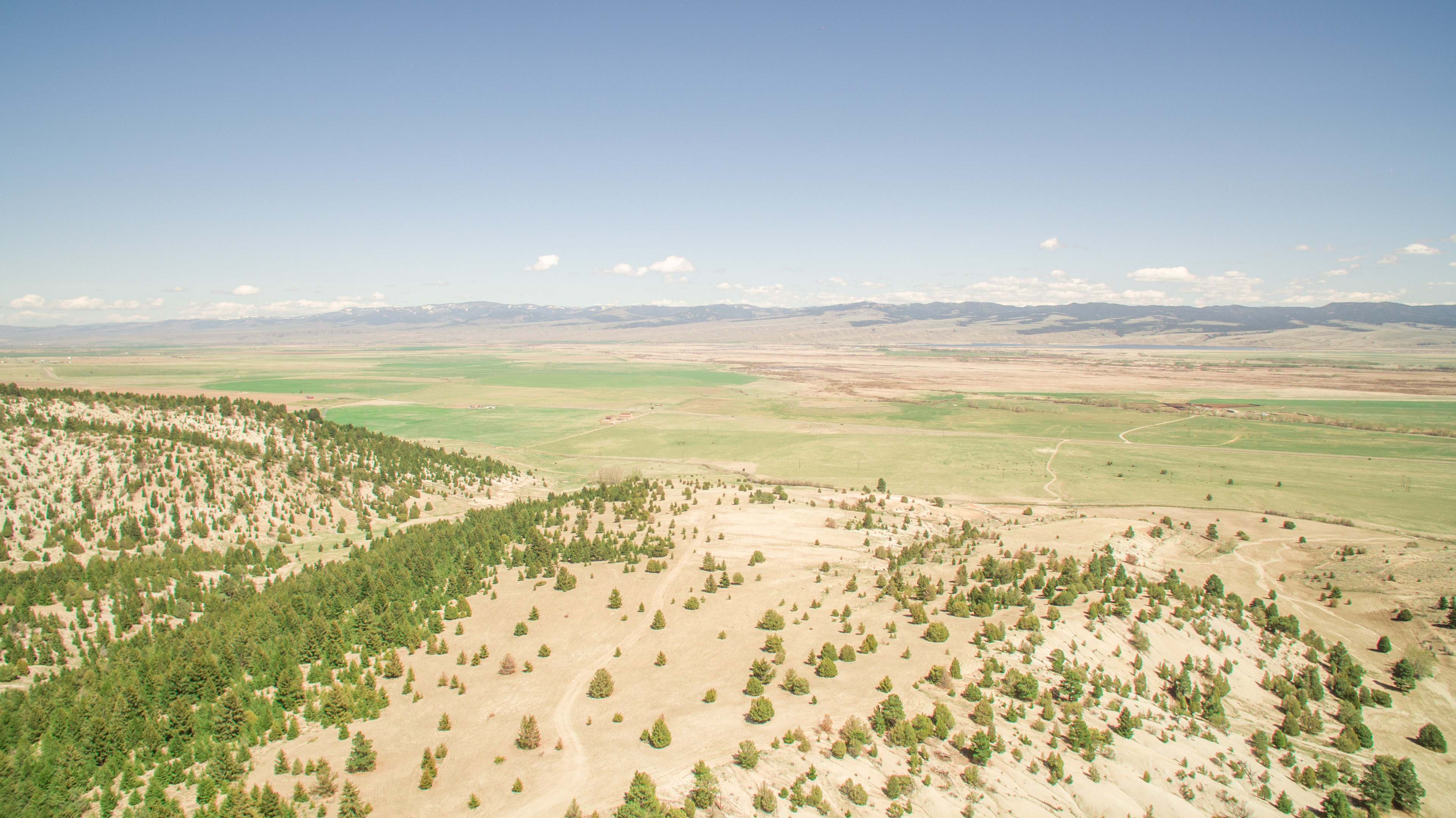
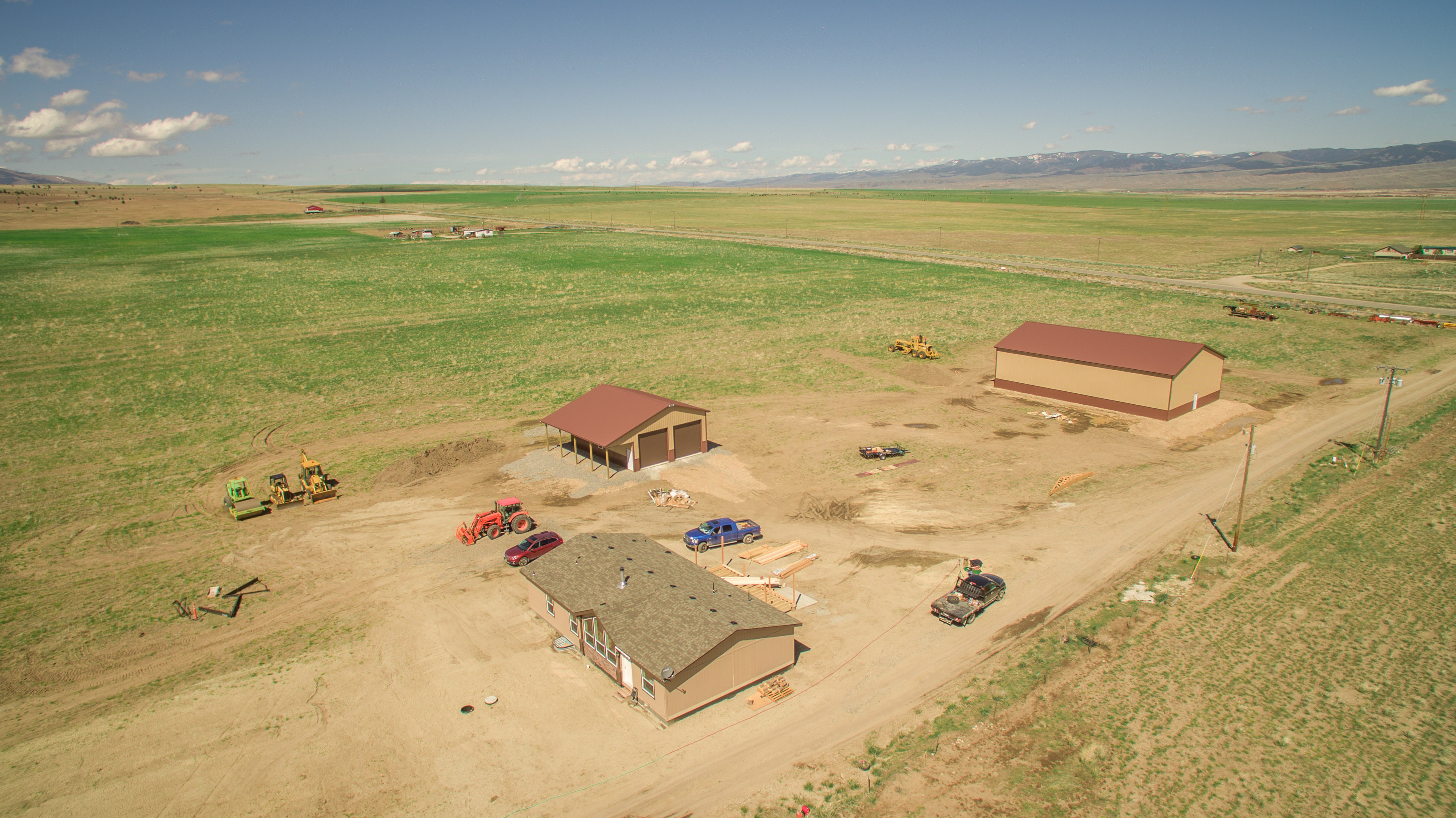
DJI_0198-HDR
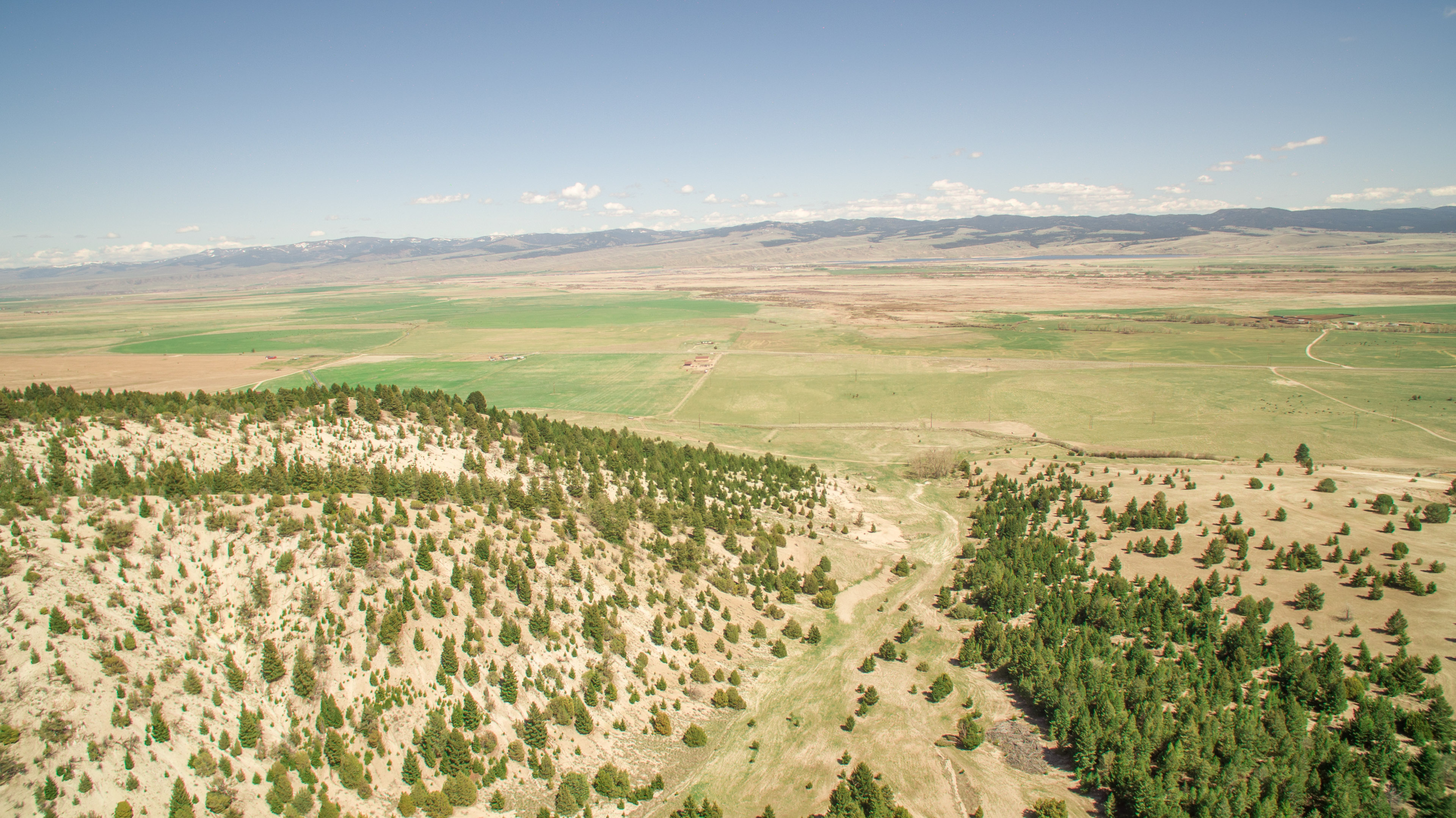
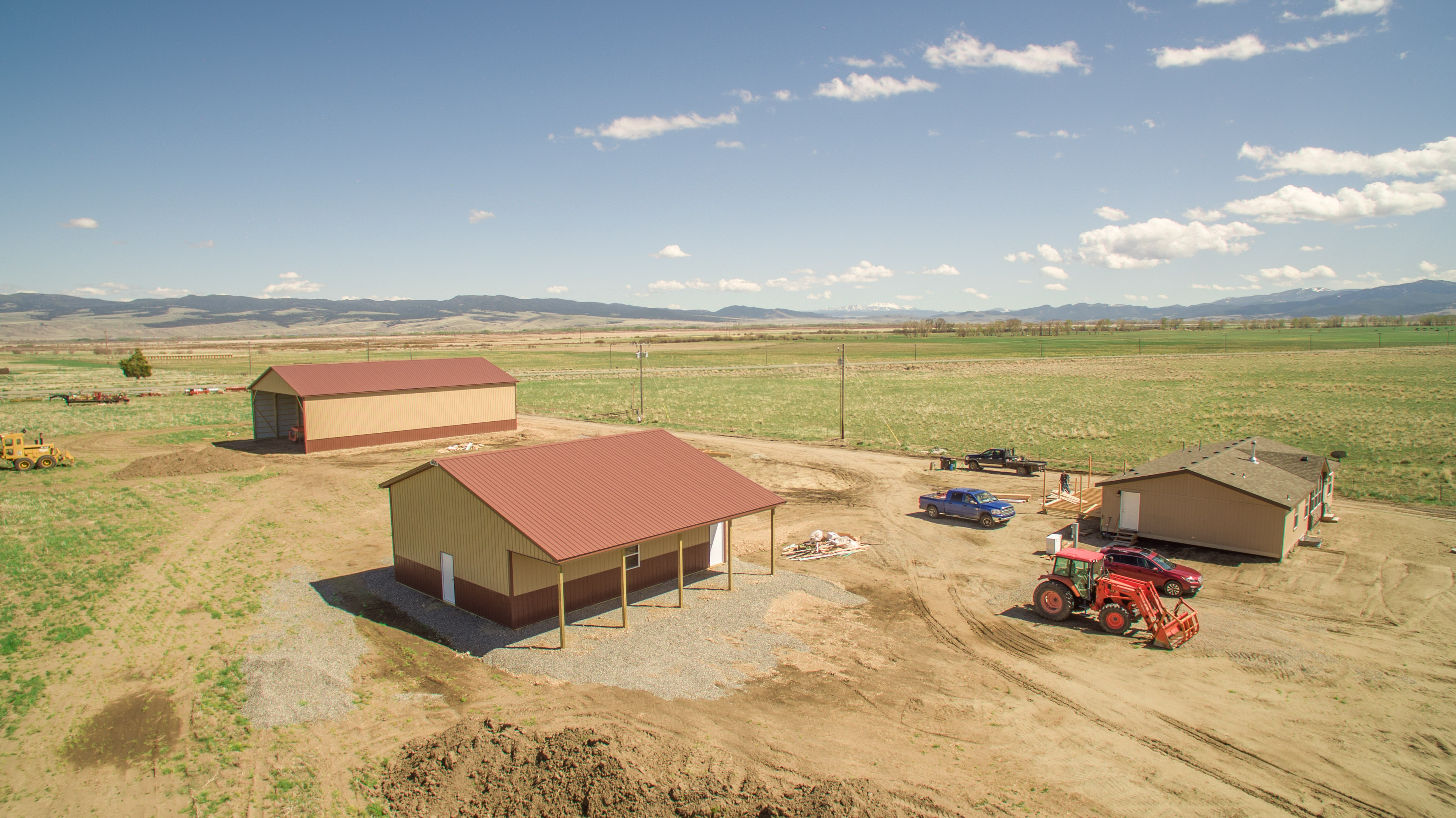
DJI_0263-HDR
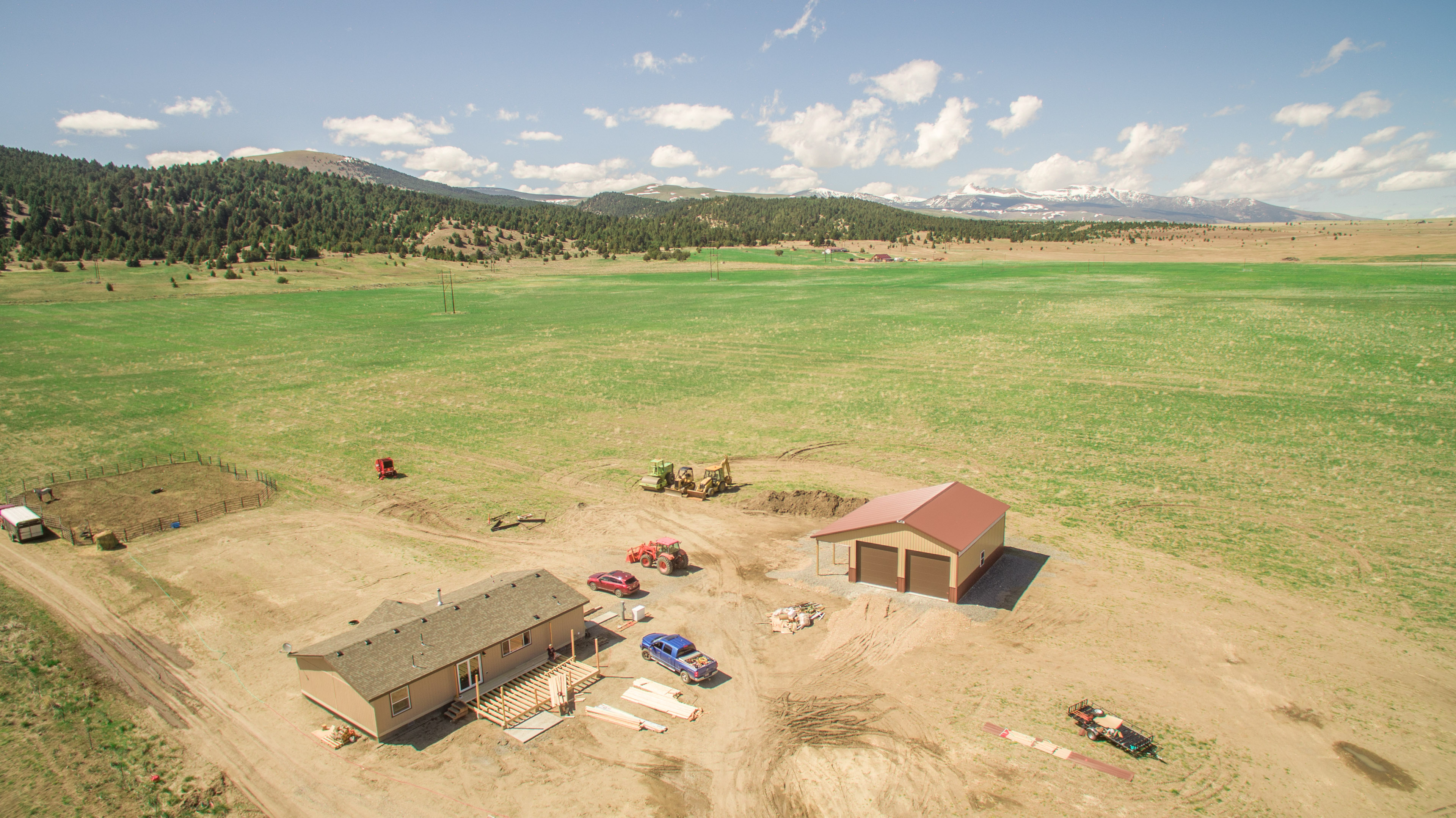
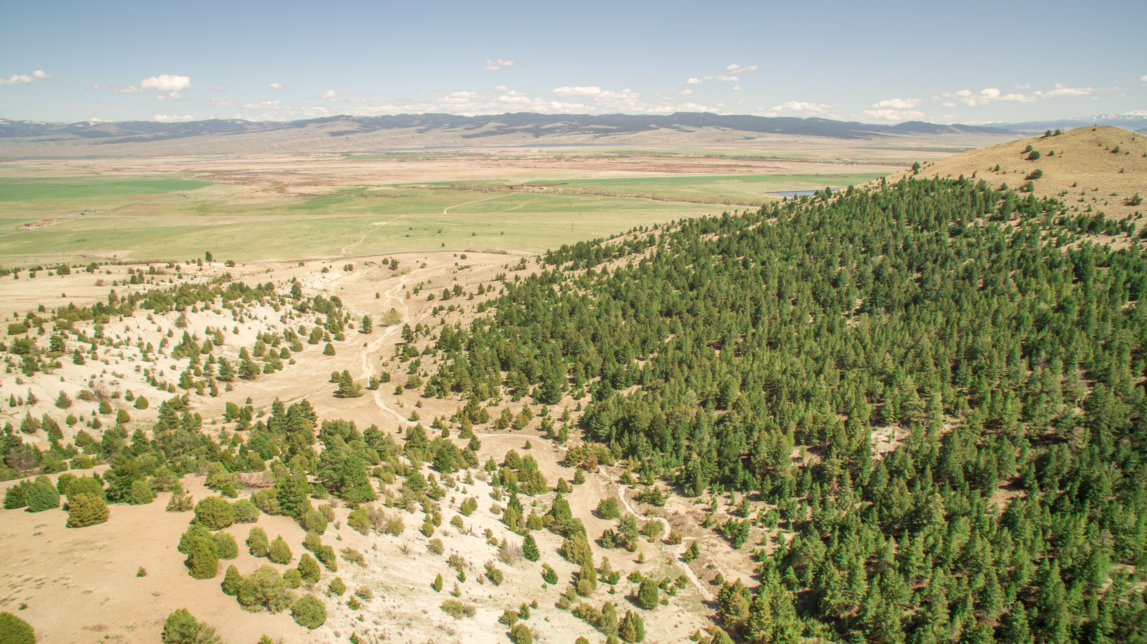
DJI_0022-HDR
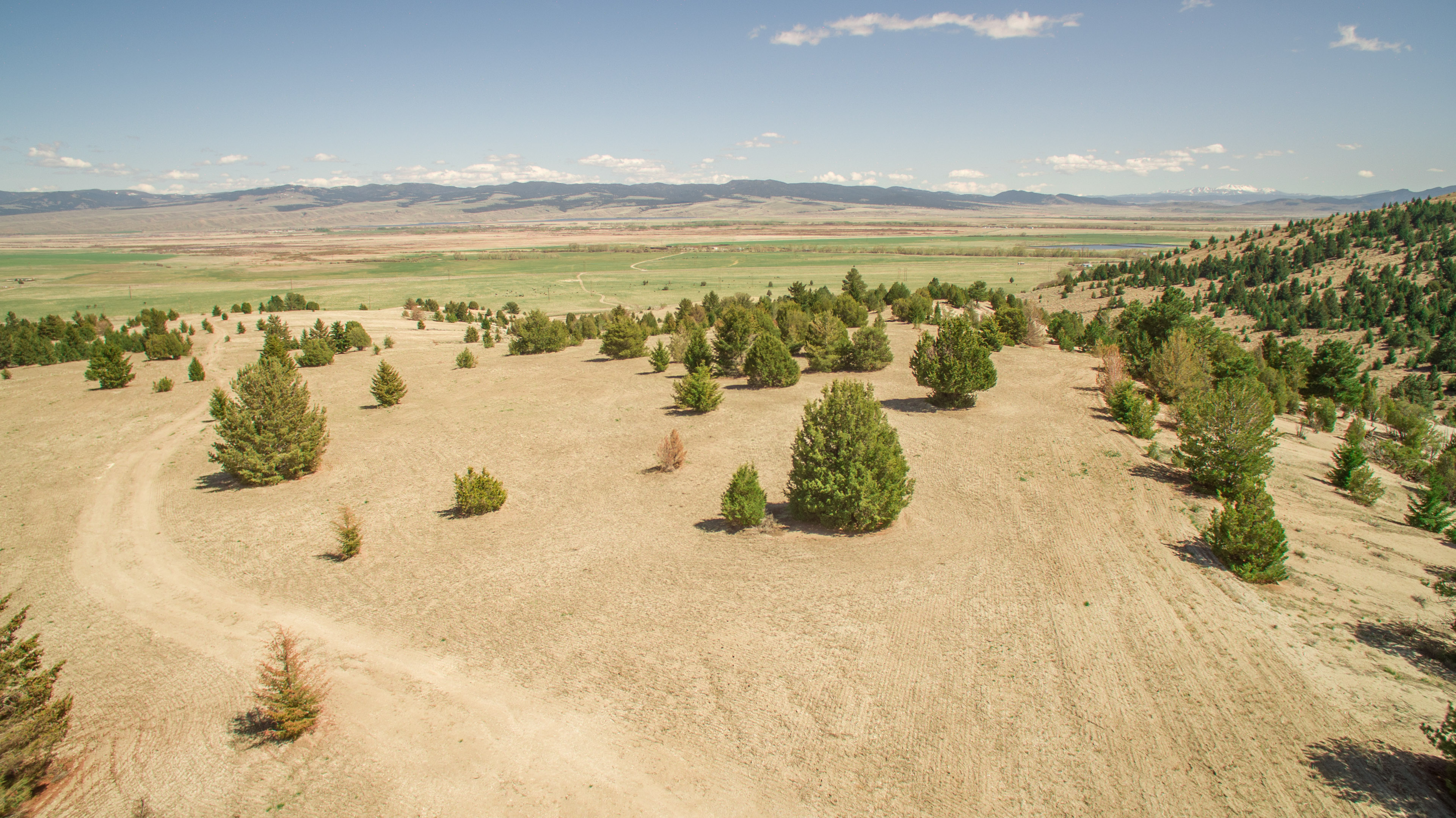
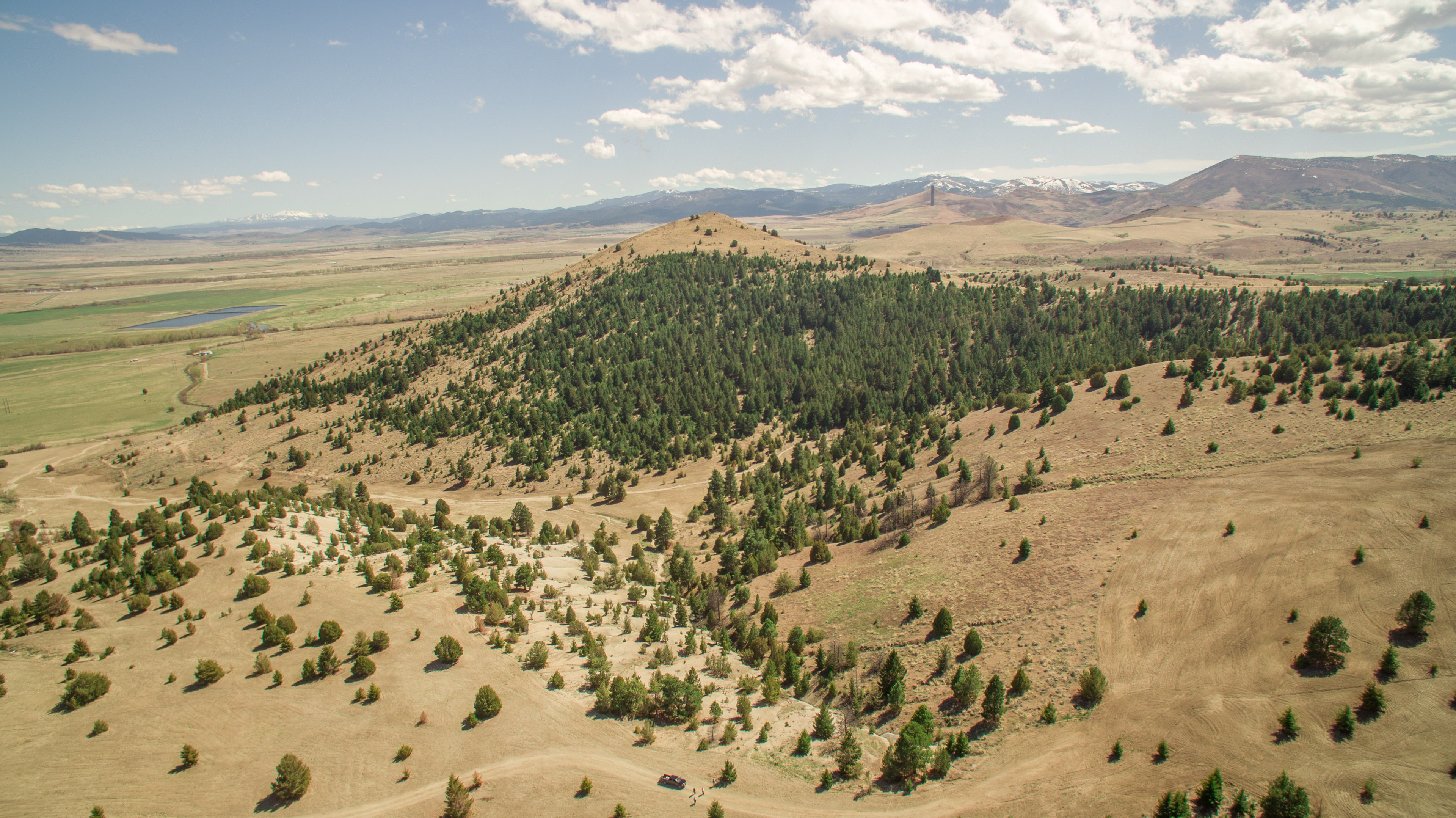
DJI_0097-HDR
DJI_0208-HDR
DJI_0132-HDR
DJI_0203-HDR
DJI_0228-HDR
DJI_0052-HDR

DJI_0193-HDR
DJI_0112-HDR
DJI_0122-HDR

DJI_0158-HDR
DJI_0127-HDR

Winter Trees Abstract
DJI_0183-HDR
DJI_0006-HDR
DJI_0037-HDR

Autumn Splendor in the Rocky Mountains (Part 4)
DJI_0077-HDR

DJI_0072-HDR
Topographic Map of Anaconda, MT, USA
Find elevation by address:

Places near Anaconda, MT, USA:
Deer Lodge County
211 Tippy Toe Trl
Meyers Dam
206 Rumsey St
816 W 4th St
Anaconda
Grassy Mountain
718 E Park Ave
1579 Outlaw Trail
Olson Mountain
Sugarloaf Mountain
Willow Glen Rd, Anaconda, MT, USA
Grouse Hill
Welcome Hill
Mount Evans
Stewart St, Anaconda, MT, USA
Bear Mountain
Seymour Campground
Mount Howe
Seymour Creek Campground And Picnic Area
Recent Searches:
- Elevation of Corso Fratelli Cairoli, 35, Macerata MC, Italy
- Elevation of Tallevast Rd, Sarasota, FL, USA
- Elevation of 4th St E, Sonoma, CA, USA
- Elevation of Black Hollow Rd, Pennsdale, PA, USA
- Elevation of Oakland Ave, Williamsport, PA, USA
- Elevation of Pedrógão Grande, Portugal
- Elevation of Klee Dr, Martinsburg, WV, USA
- Elevation of Via Roma, Pieranica CR, Italy
- Elevation of Tavkvetili Mountain, Georgia
- Elevation of Hartfords Bluff Cir, Mt Pleasant, SC, USA