Elevation of Bald Eagle Mountain, California, USA
Location: United States > California > Plumas County >
Longitude: -121.23579
Latitude: 39.9379421
Elevation: 2179m / 7149feet
Barometric Pressure: 78KPa
Elevation Map:
Satellite Map:
Related Photos:
...took the one less traveled...

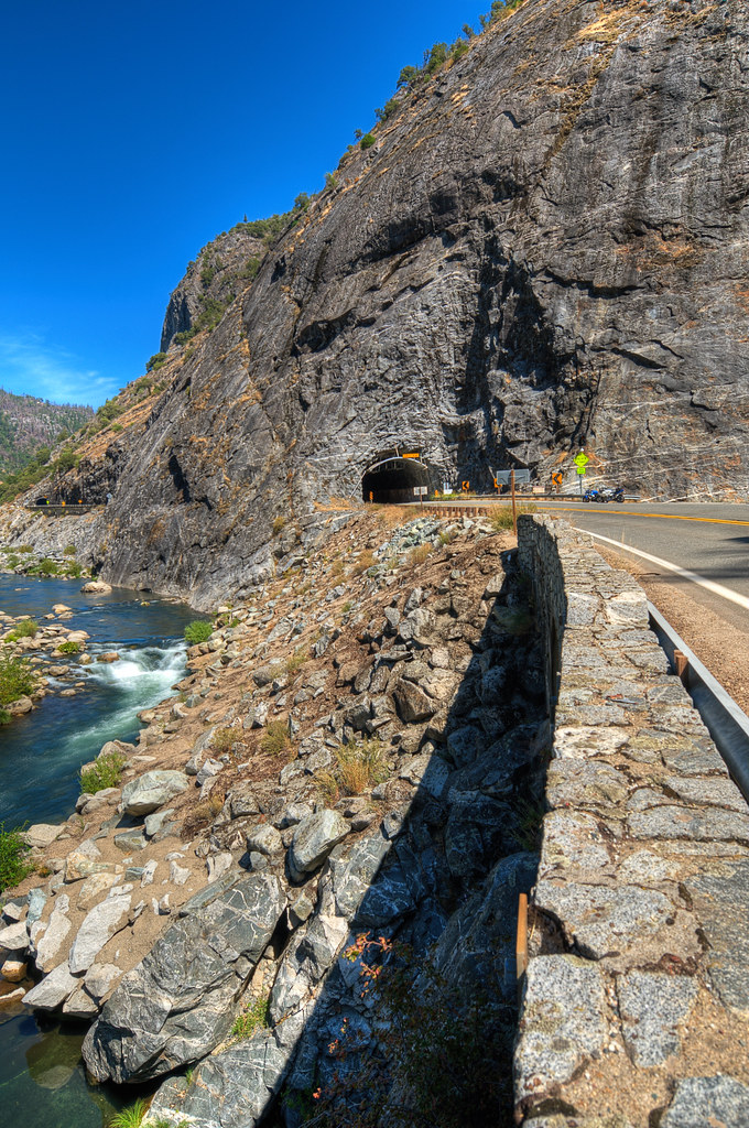
Feather River Rapids

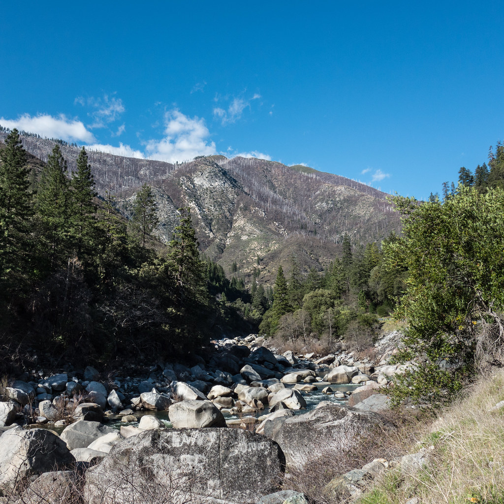
Feather River Reflections
Day 612 [2/21/15]: Giant's Pebbles
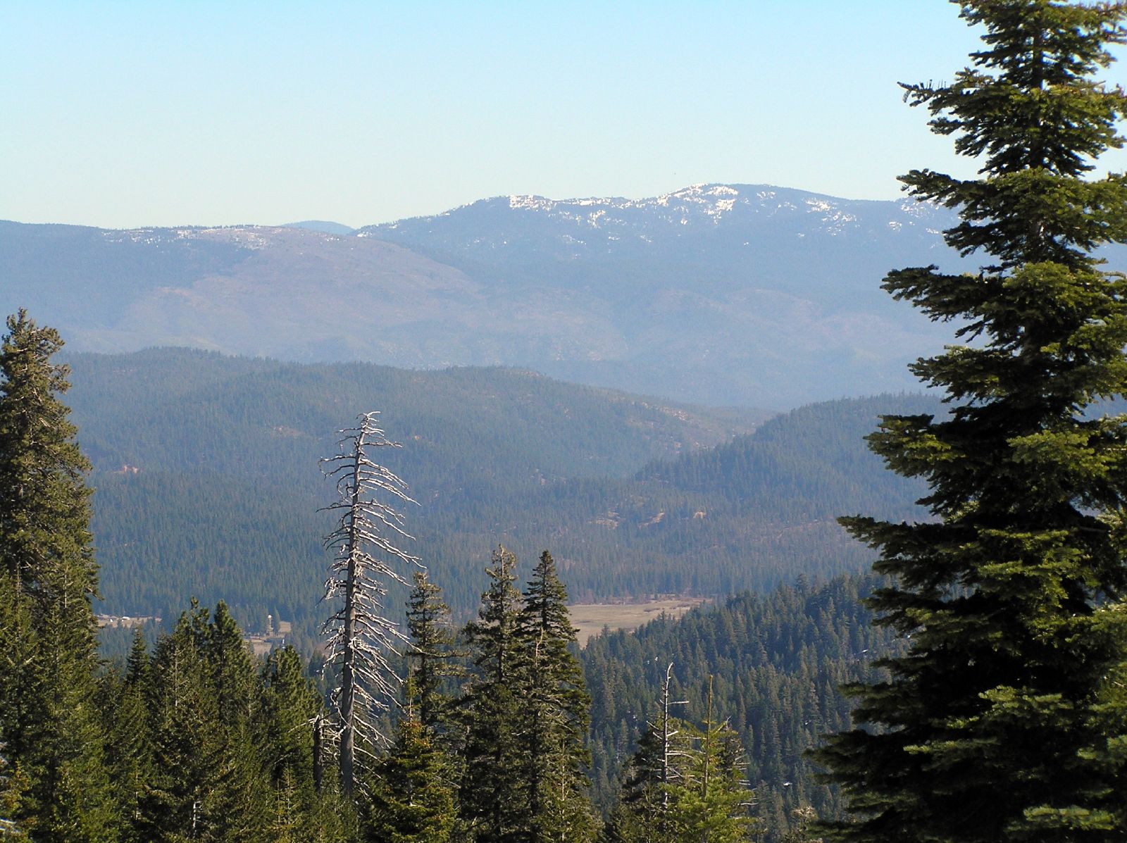
View from Buck's Summit
Topographic Map of Bald Eagle Mountain, California, USA
Find elevation by address:

Places near Bald Eagle Mountain, California, USA:
Belden
Bucks Lake
CA-70, Storrie, CA, USA
Bucklin Rd, Quincy, CA, USA
Storrie
Cottonwood Ct, Quincy, CA, USA
Bucks Lake
1468 12 Mile Bar Rd
Oroville-quincy Highway
Bucks Lake Rd, Meadow Valley, CA, USA
Oroville-Quincy Hwy, Berry Creek, CA, USA
Meadow Valley
Feather River Canyon
Twain
Seneca
Philbrook Lake Campground
Pulga Rd, Oroville, CA, USA
Canyondam, CA, USA
17 Camp Enjoyment, Berry Creek, CA, USA
90 Kaelin Rd
Recent Searches:
- Elevation of Corso Fratelli Cairoli, 35, Macerata MC, Italy
- Elevation of Tallevast Rd, Sarasota, FL, USA
- Elevation of 4th St E, Sonoma, CA, USA
- Elevation of Black Hollow Rd, Pennsdale, PA, USA
- Elevation of Oakland Ave, Williamsport, PA, USA
- Elevation of Pedrógão Grande, Portugal
- Elevation of Klee Dr, Martinsburg, WV, USA
- Elevation of Via Roma, Pieranica CR, Italy
- Elevation of Tavkvetili Mountain, Georgia
- Elevation of Hartfords Bluff Cir, Mt Pleasant, SC, USA