Elevation of Seneca, CA, USA
Location: United States > California > Plumas County >
Longitude: -121.08468
Latitude: 40.110444
Elevation: 1104m / 3622feet
Barometric Pressure: 89KPa
Elevation Map:
Satellite Map:
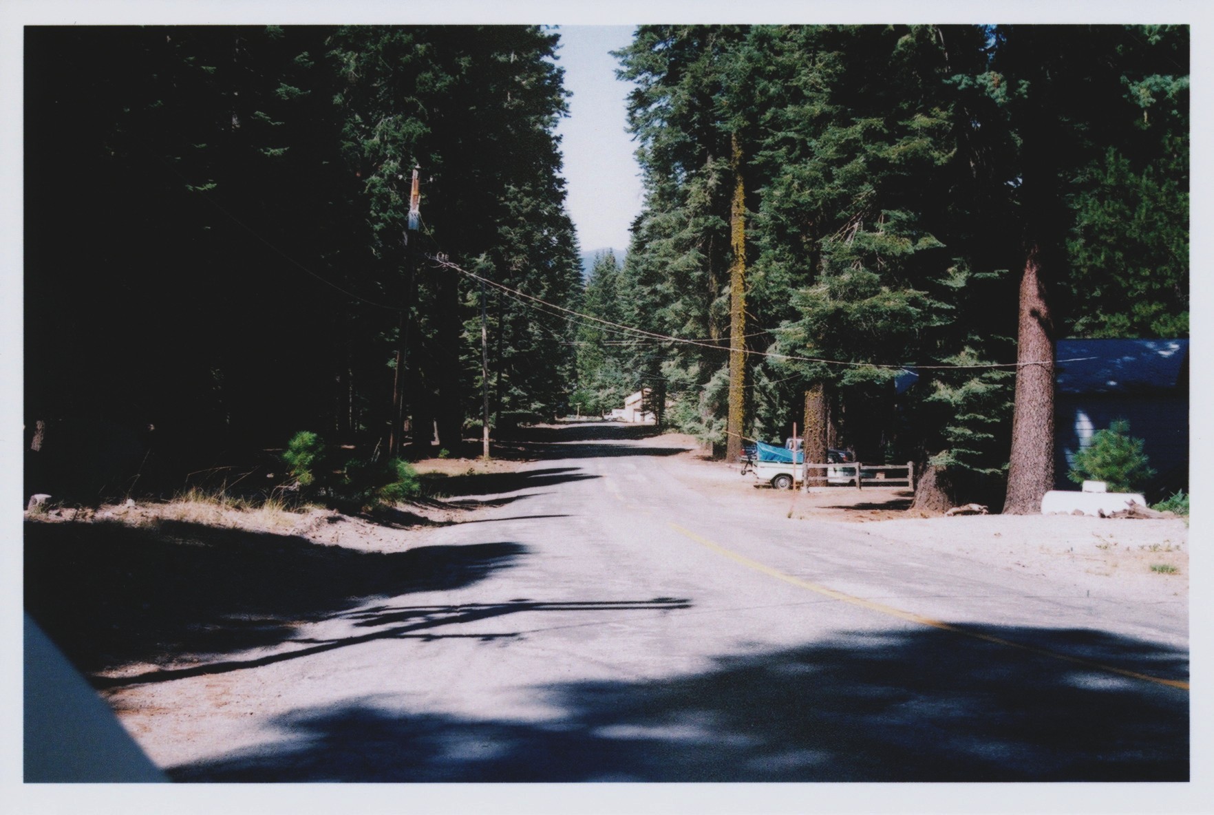
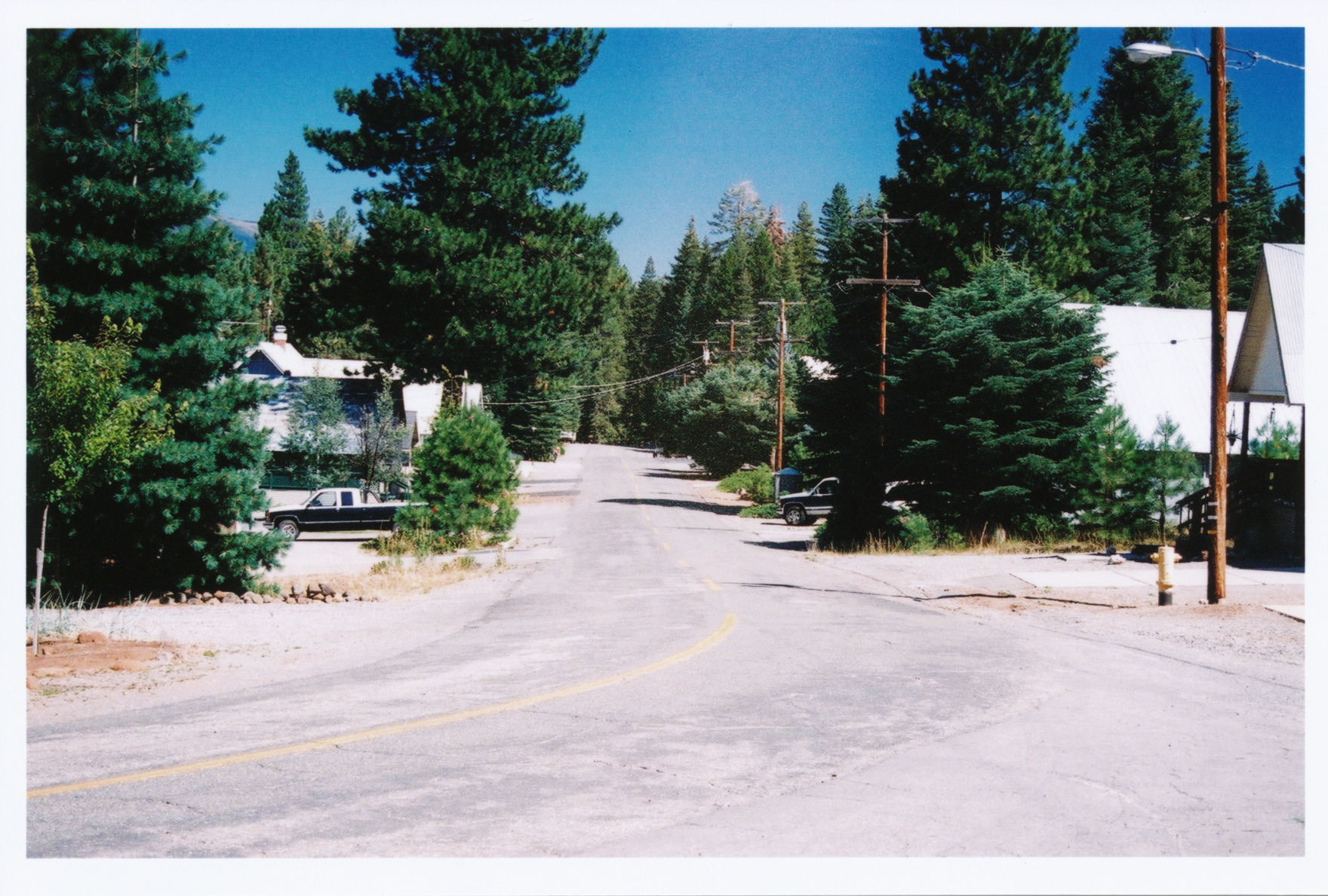
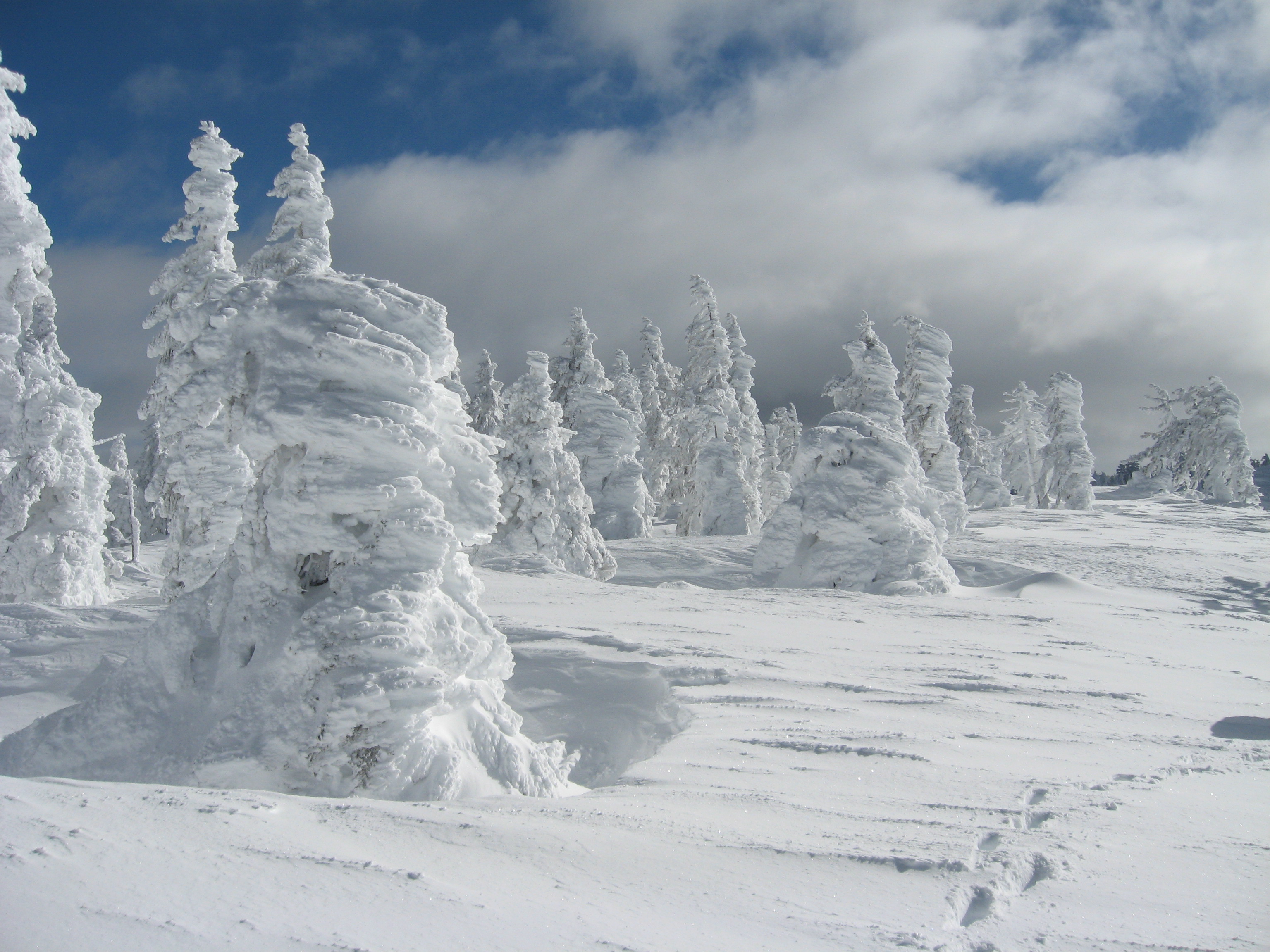
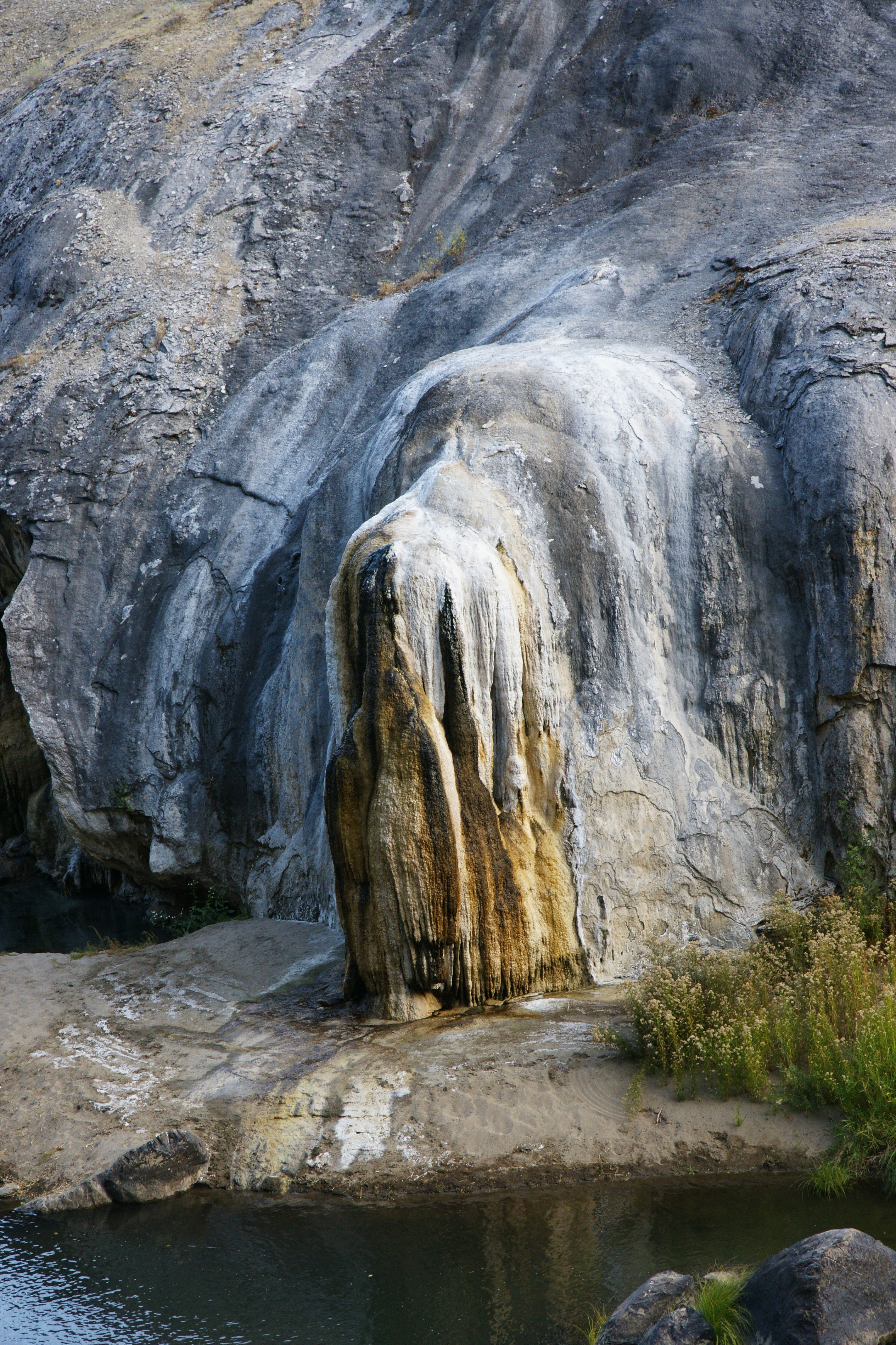
Related Photos:

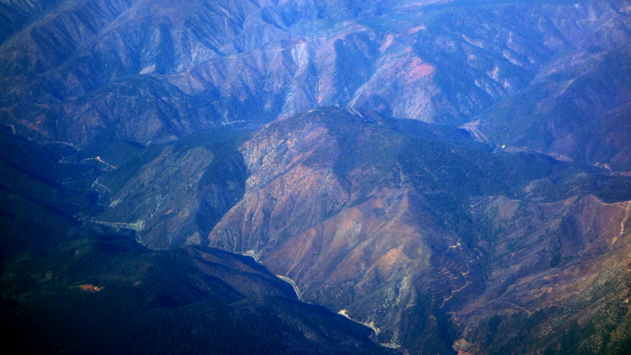
Lake Almanor, East Shore View of Lassen Peak
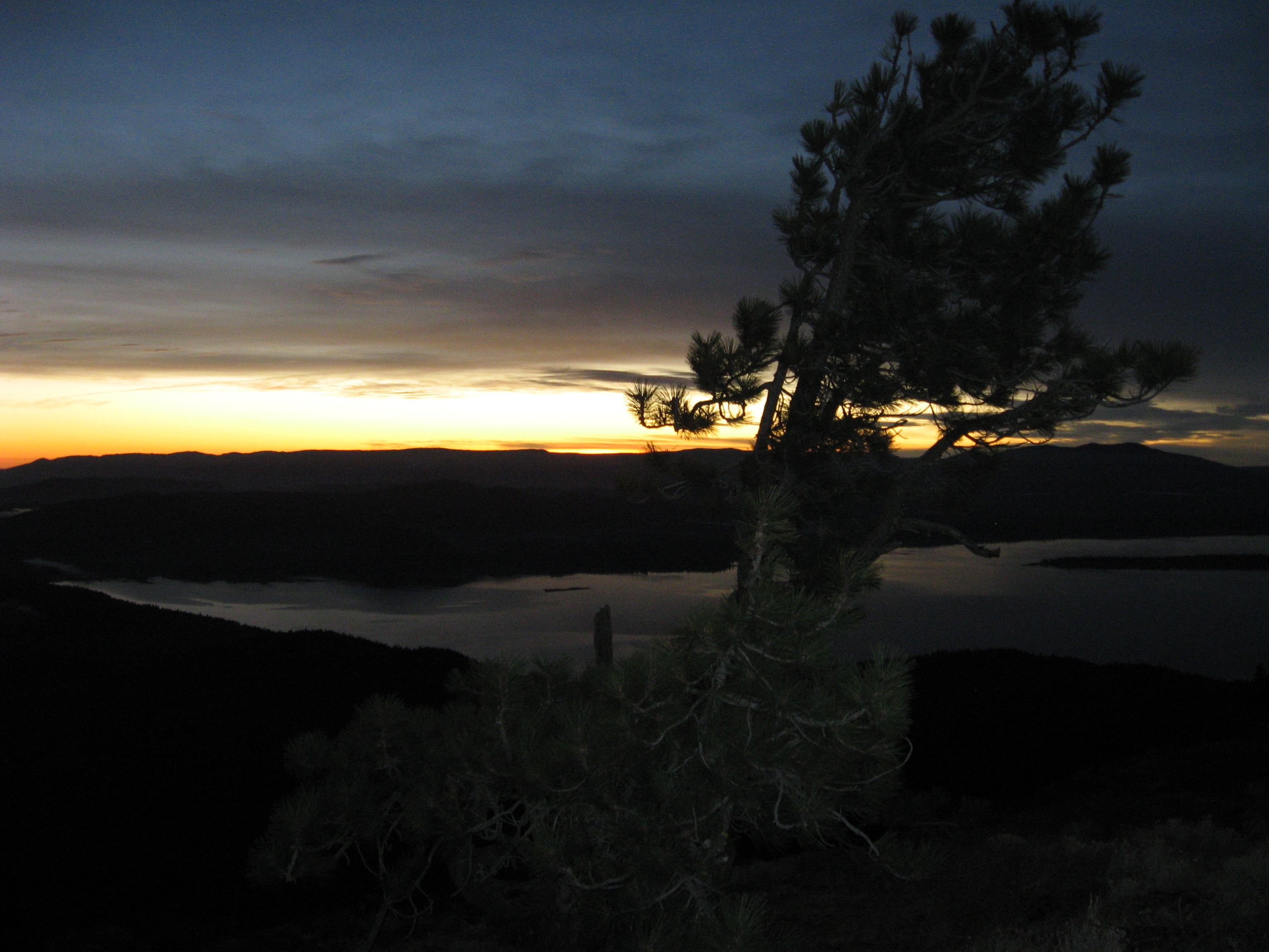
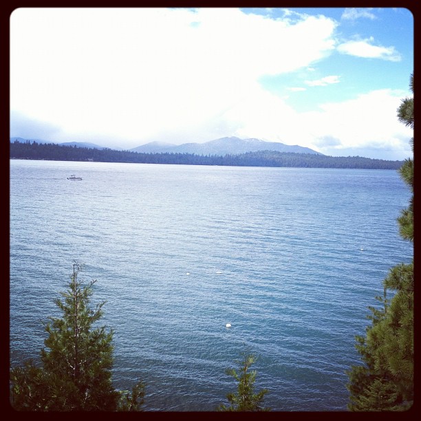
Lake Almanor too
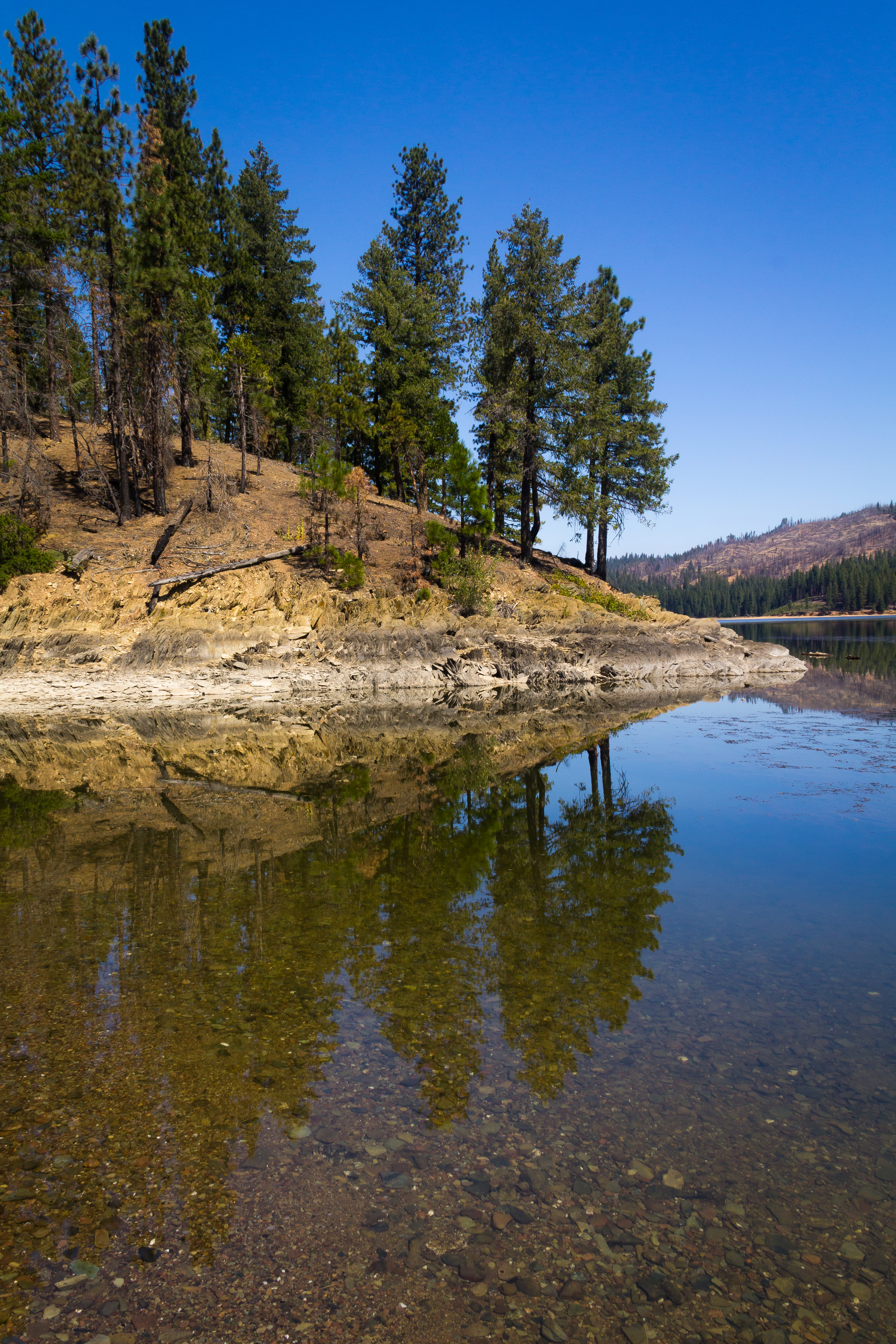
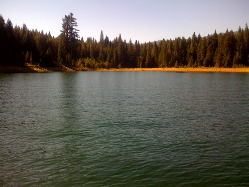
Lake Almanor
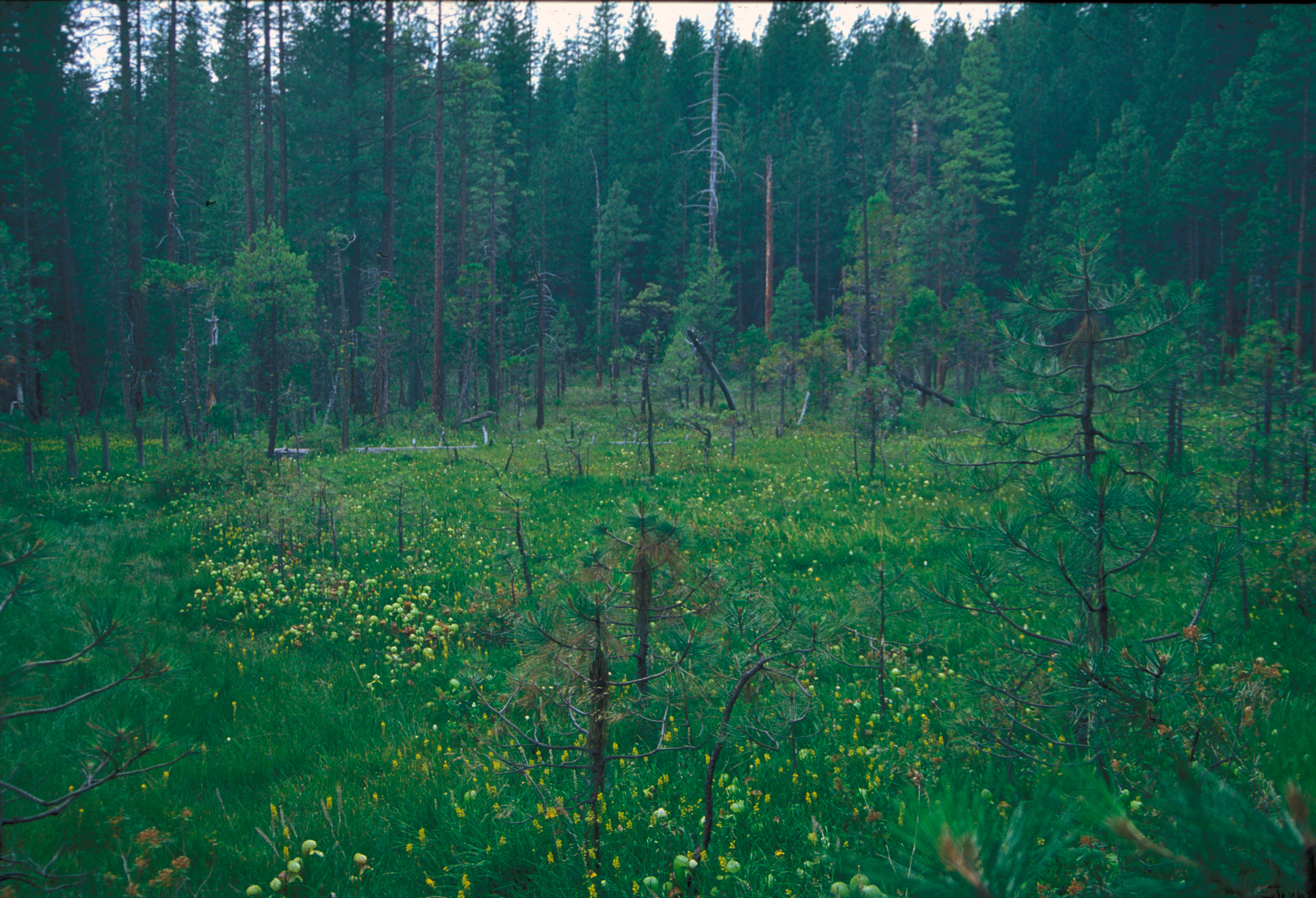
Pitcher_plant_bog_butterfly_valley_2000.jpg

Memories of...

Reflections On An Old Window
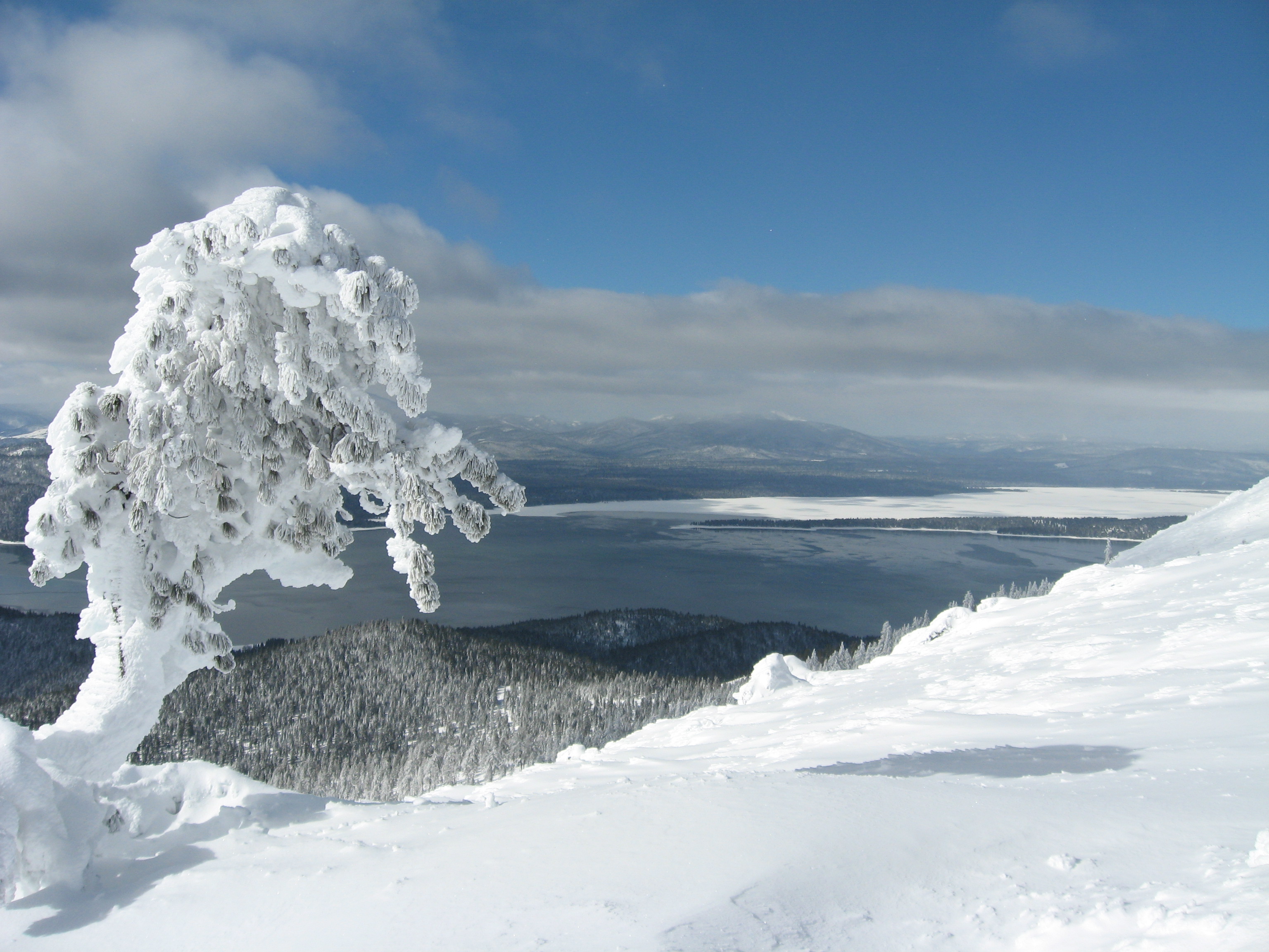
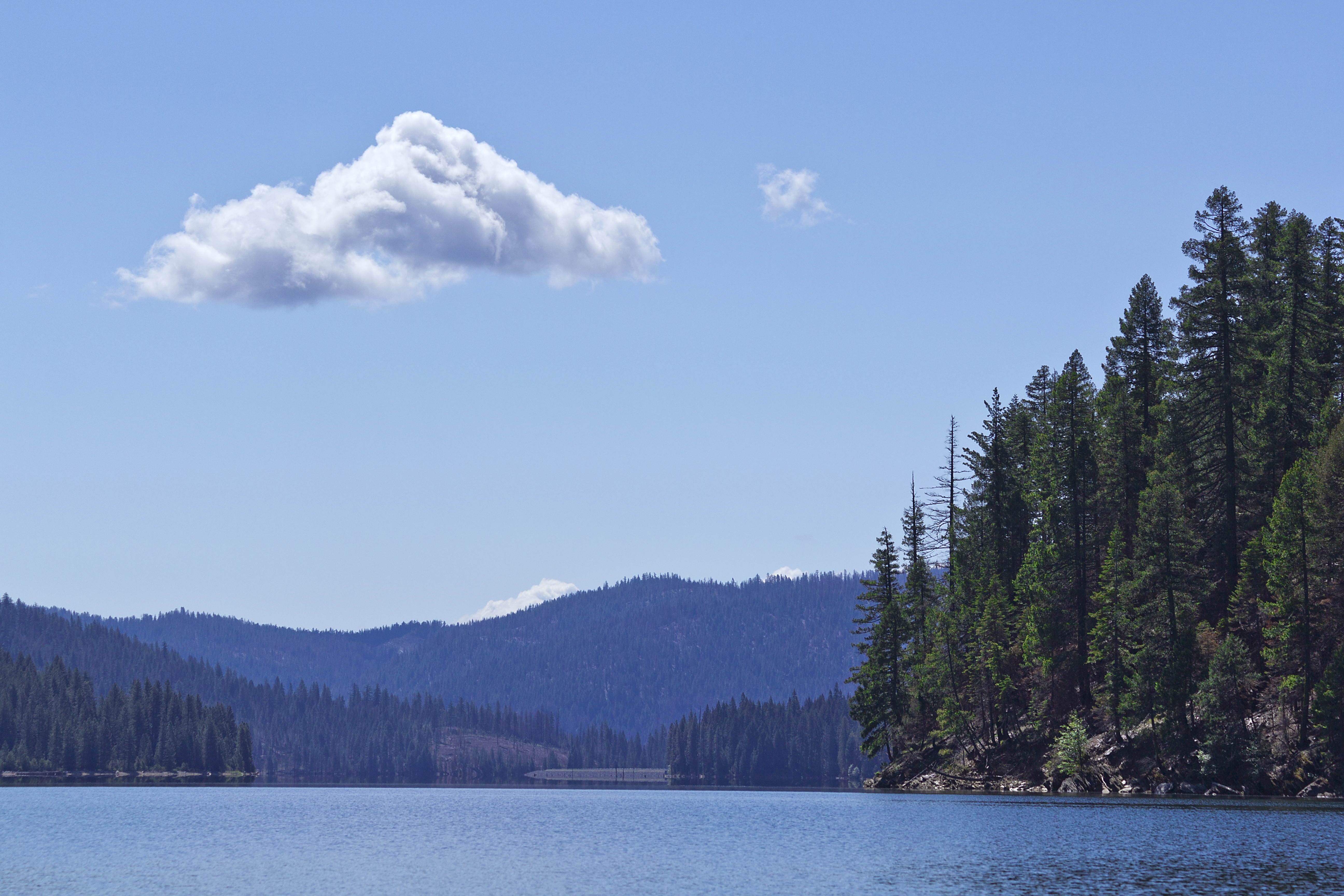
Almanor 1
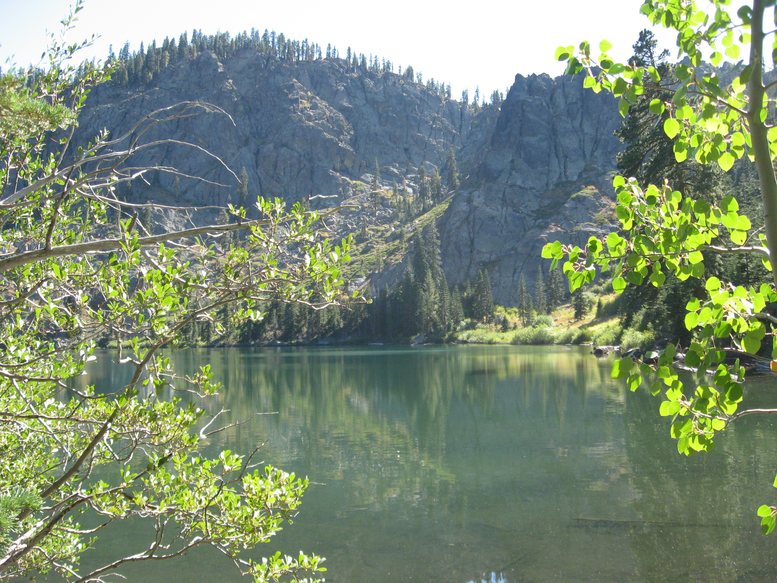
Homer Lake
Almanor 4

Coribou House
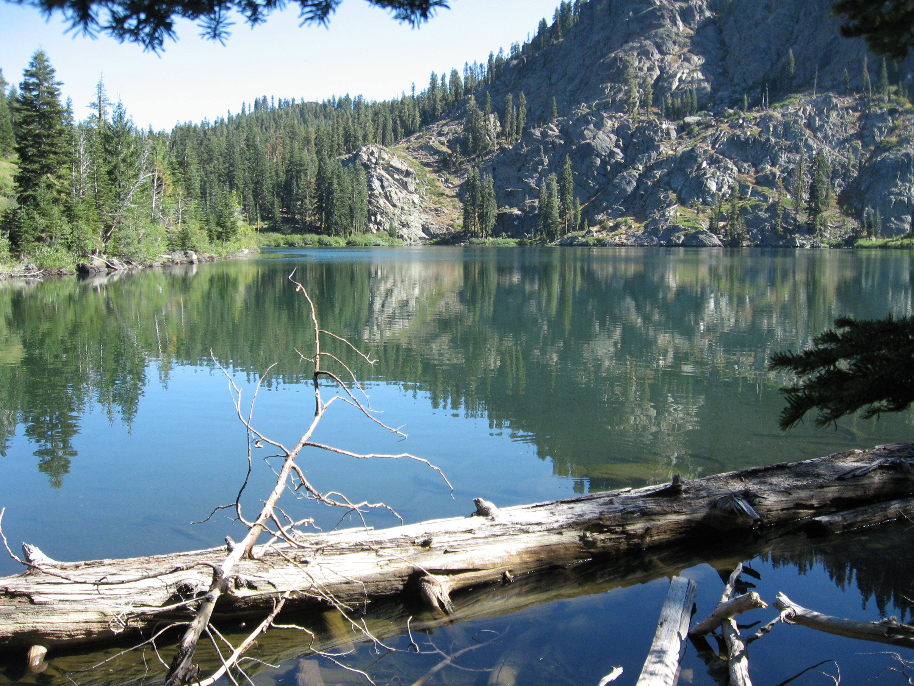
Homer Lake
Almanor 2

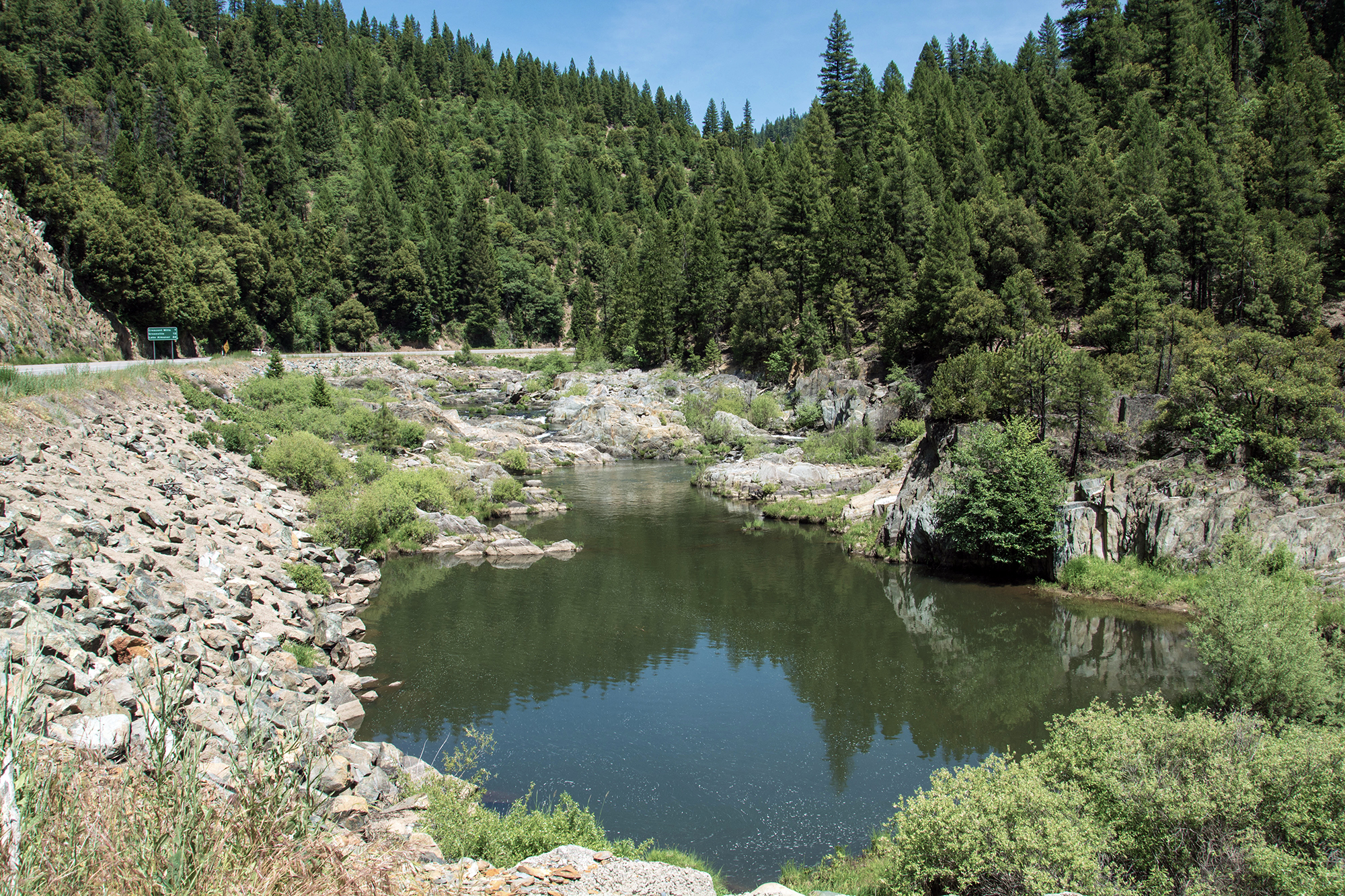
Mosquito Creek

Lassen Peak looming
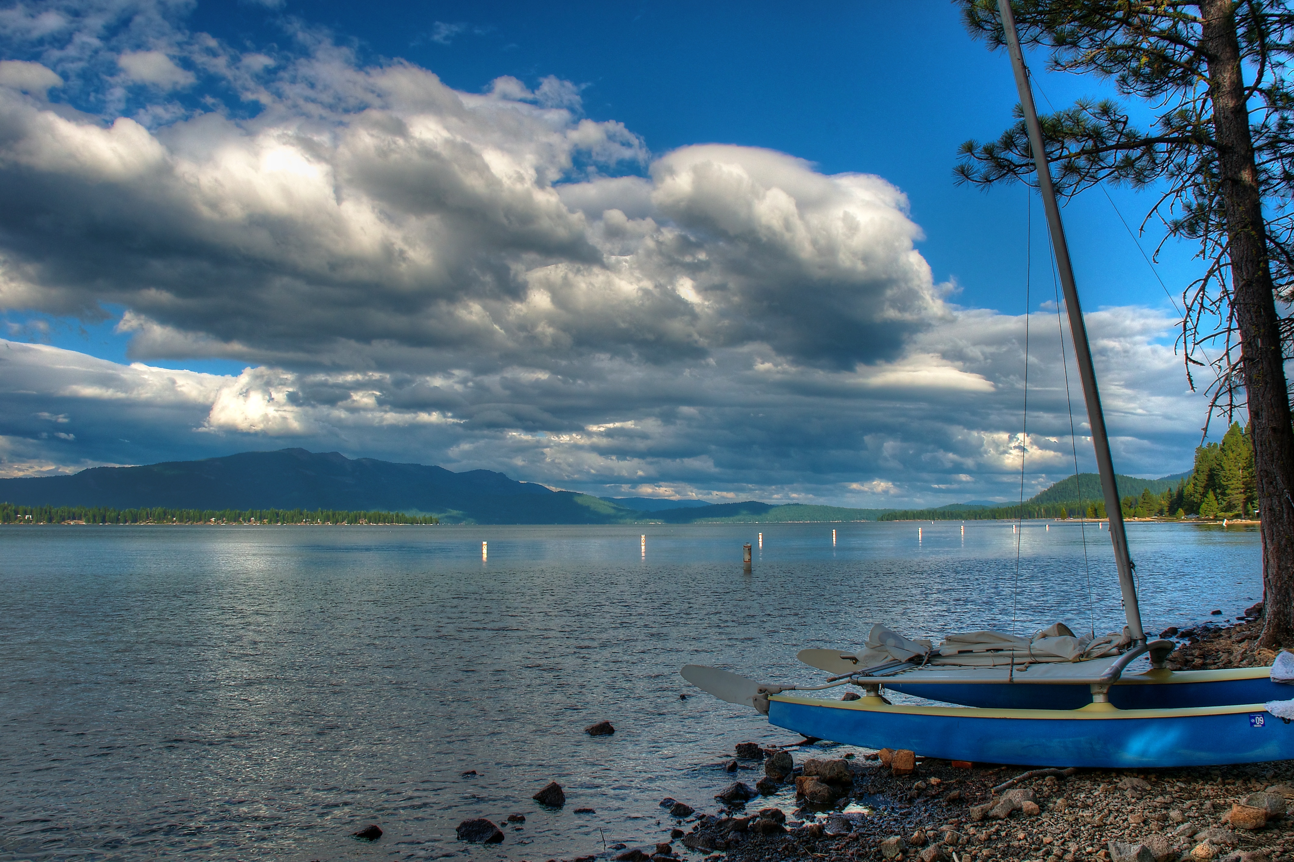
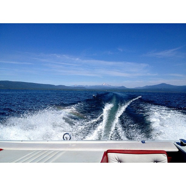
Clouds over Lake Almanor
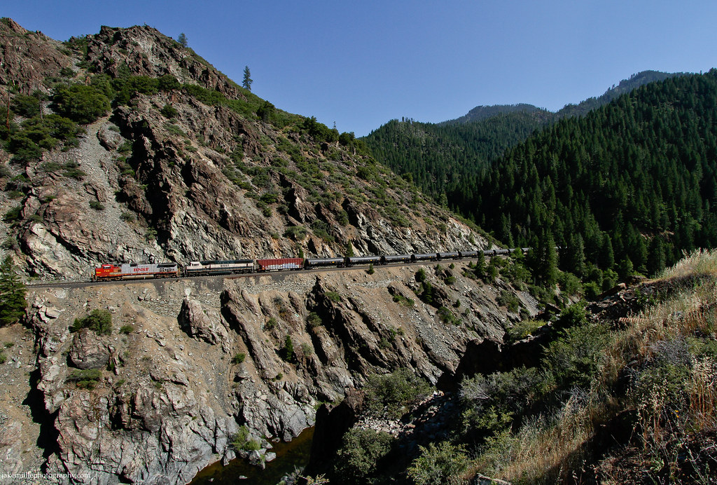
Feather River BNSF freight (0190)
Day is Done
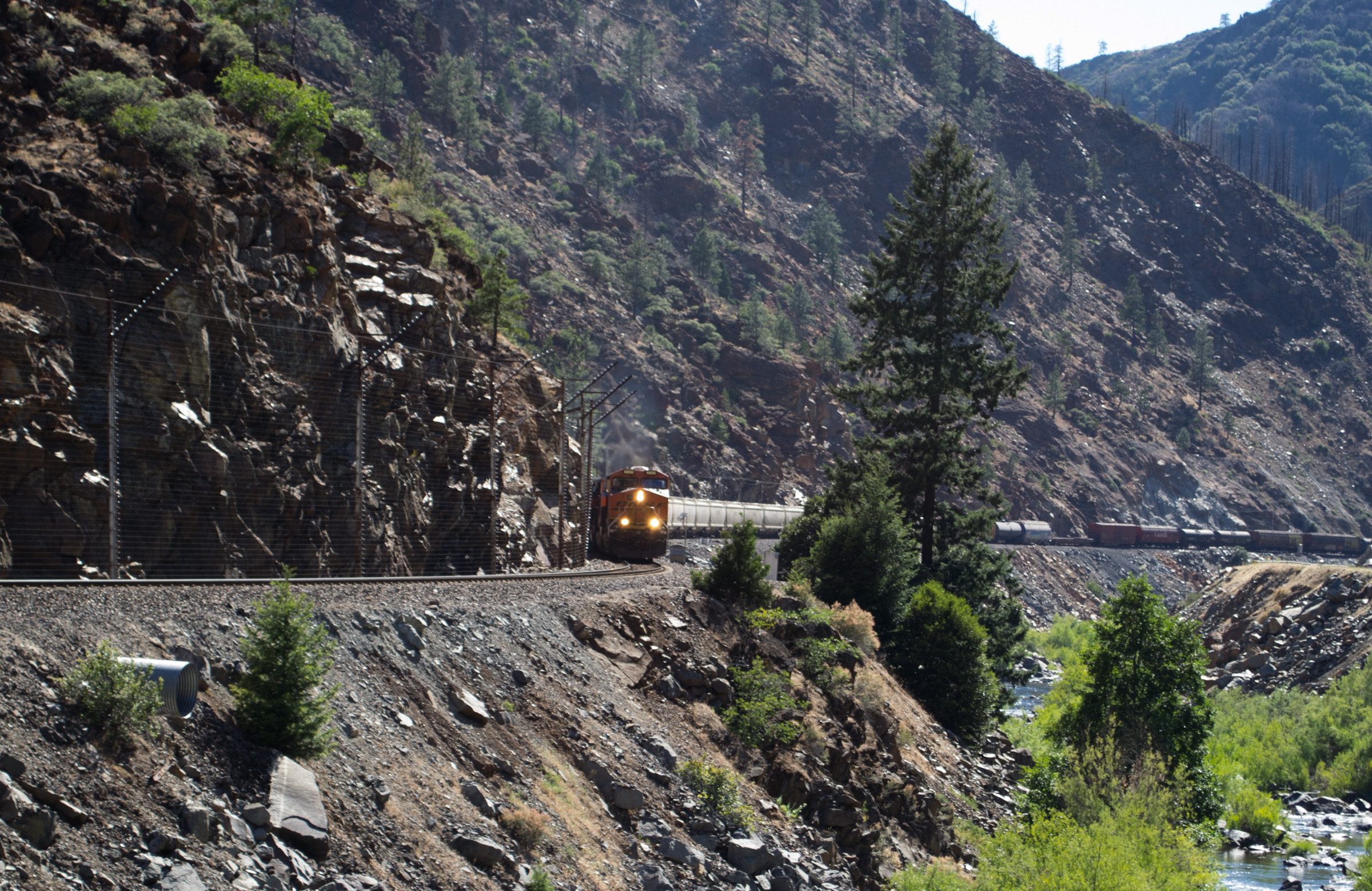
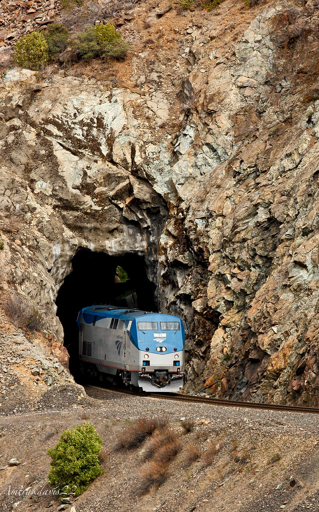
BNSF Bakken Crude Oil Train in the Feather River Canyon
West Shore Butt Lake
AAPRCO Napa Valley Limited Exits a Natural Tunnel
A much needed weekend getaway.
Drive-By Landscapes

love like a sunset
Good Morning
hello Lassen
Butt Lake

Butt Lake shoreline
Drive-By Landscapes
Winding Road in a Valley beside Red Hill
Keddie Peak
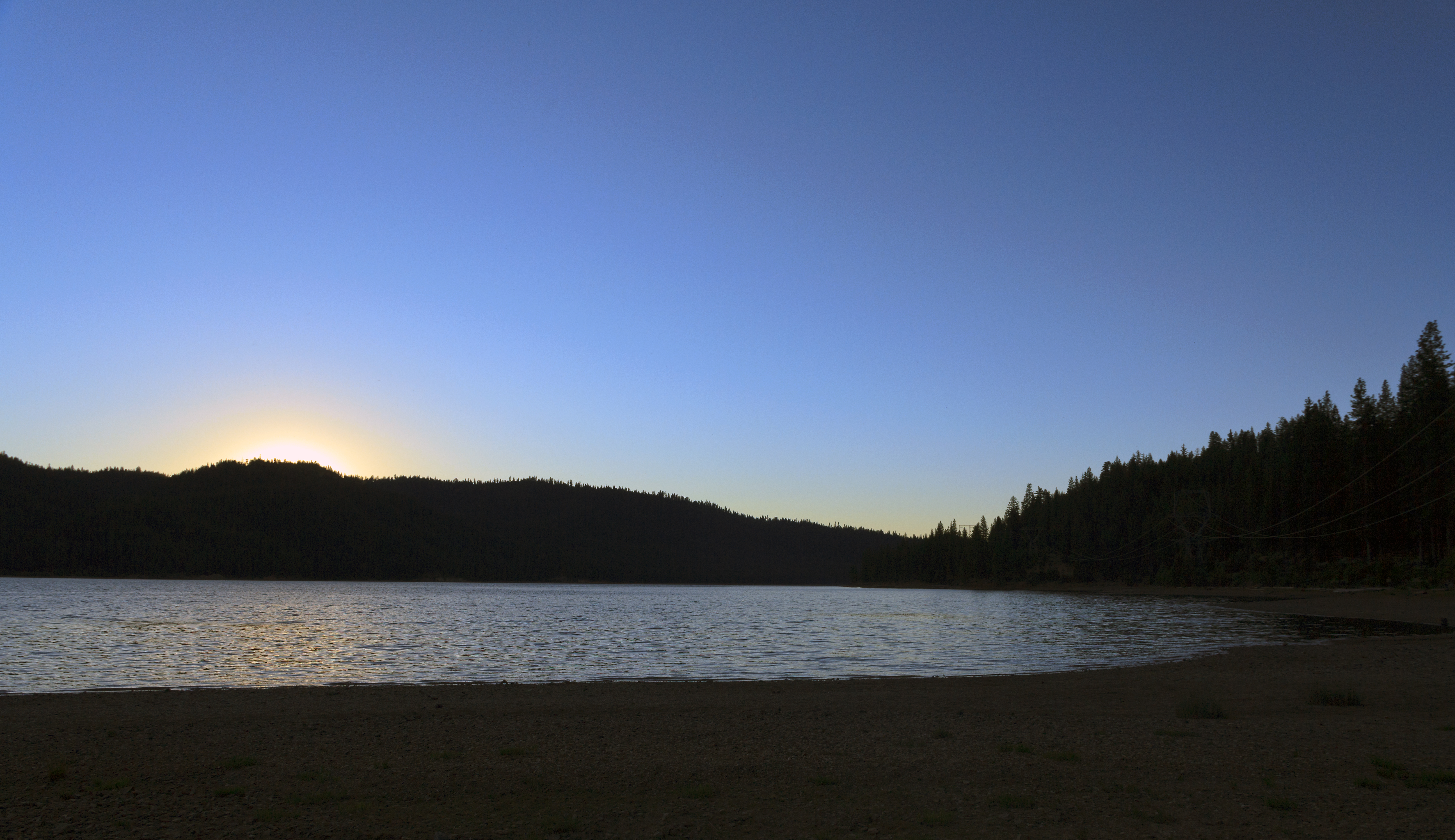
Butt Lake Sunset Silhouette
ATR20121021-1637-306
Topographic Map of Seneca, CA, USA
Find elevation by address:

Places near Seneca, CA, USA:
Canyondam
CA-89, Canyondam, CA, USA
Twain
Canyondam, CA, USA
1468 12 Mile Bar Rd
Almanor Dr W, Canyondam, CA, USA
CA-, Lake Almanor, CA, USA
CA-89, Crescent Mills, CA, USA
Greenville
Keddie Peak
Lake Almanor
Lake Almanor Country Club
609 Clifford Dr
609 Clifford Dr
609 Clifford Dr
Hamilton Branch
Park Hill Dr, Lake Almanor, CA, USA
Peninsula Dr, Lake Almanor, CA, USA
Lake Almanor West
Racoon Trail, Chester, CA, USA
Recent Searches:
- Elevation of Felindre, Swansea SA5 7LU, UK
- Elevation of Leyte Industrial Development Estate, Isabel, Leyte, Philippines
- Elevation of W Granada St, Tampa, FL, USA
- Elevation of Pykes Down, Ivybridge PL21 0BY, UK
- Elevation of Jalan Senandin, Lutong, Miri, Sarawak, Malaysia
- Elevation of Bilohirs'k
- Elevation of 30 Oak Lawn Dr, Barkhamsted, CT, USA
- Elevation of Luther Road, Luther Rd, Auburn, CA, USA
- Elevation of Unnamed Road, Respublika Severnaya Osetiya — Alaniya, Russia
- Elevation of Verkhny Fiagdon, North Ossetia–Alania Republic, Russia