Elevation of Bakerganj Upazila, Bangladesh
Location: Bangladesh > Barisal Division > Barisal District >
Longitude: 90.3936722
Latitude: 22.54787
Elevation: 7m / 23feet
Barometric Pressure: 101KPa
Elevation Map:
Satellite Map:
Related Photos:
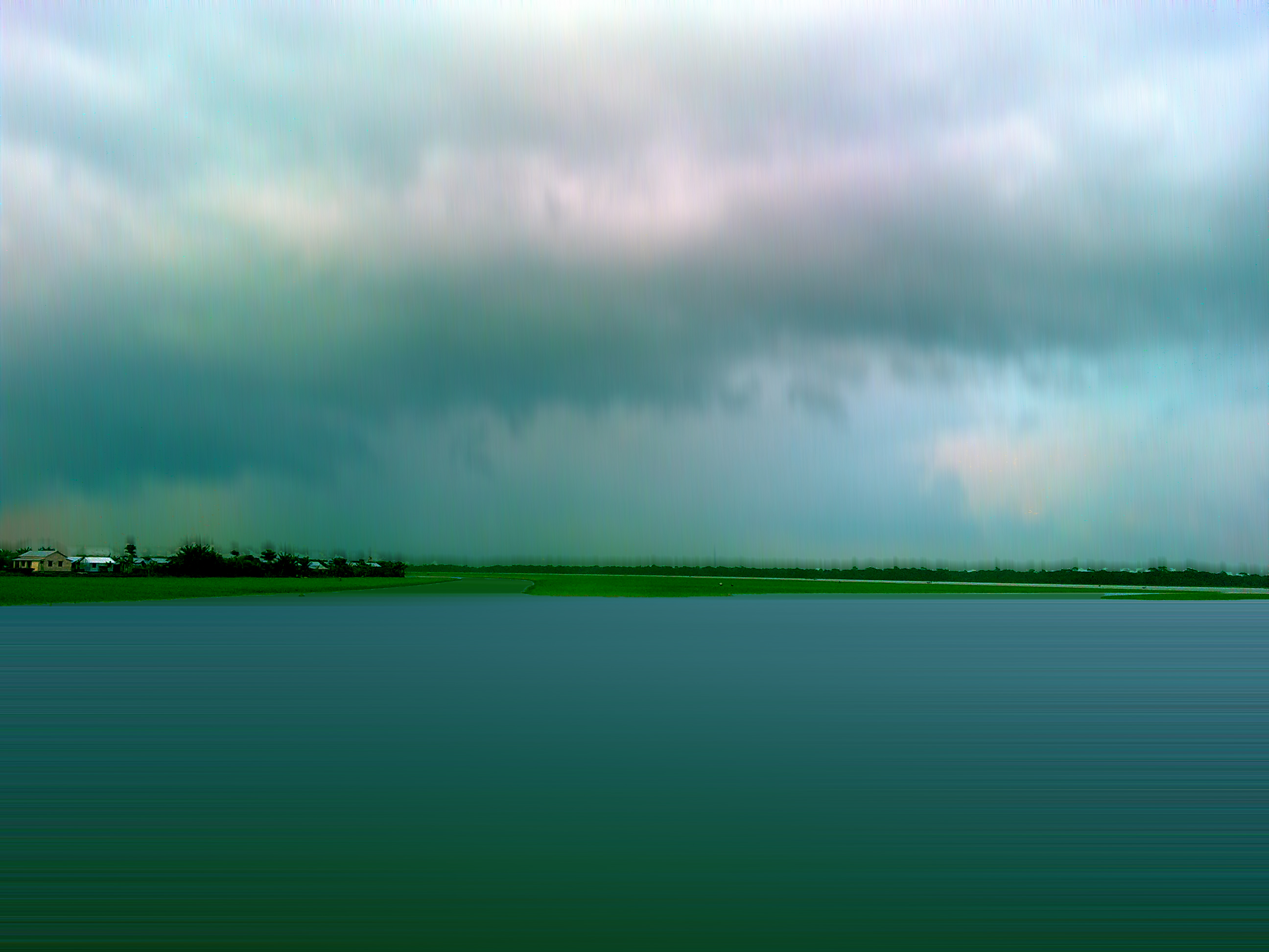
IMG_7021

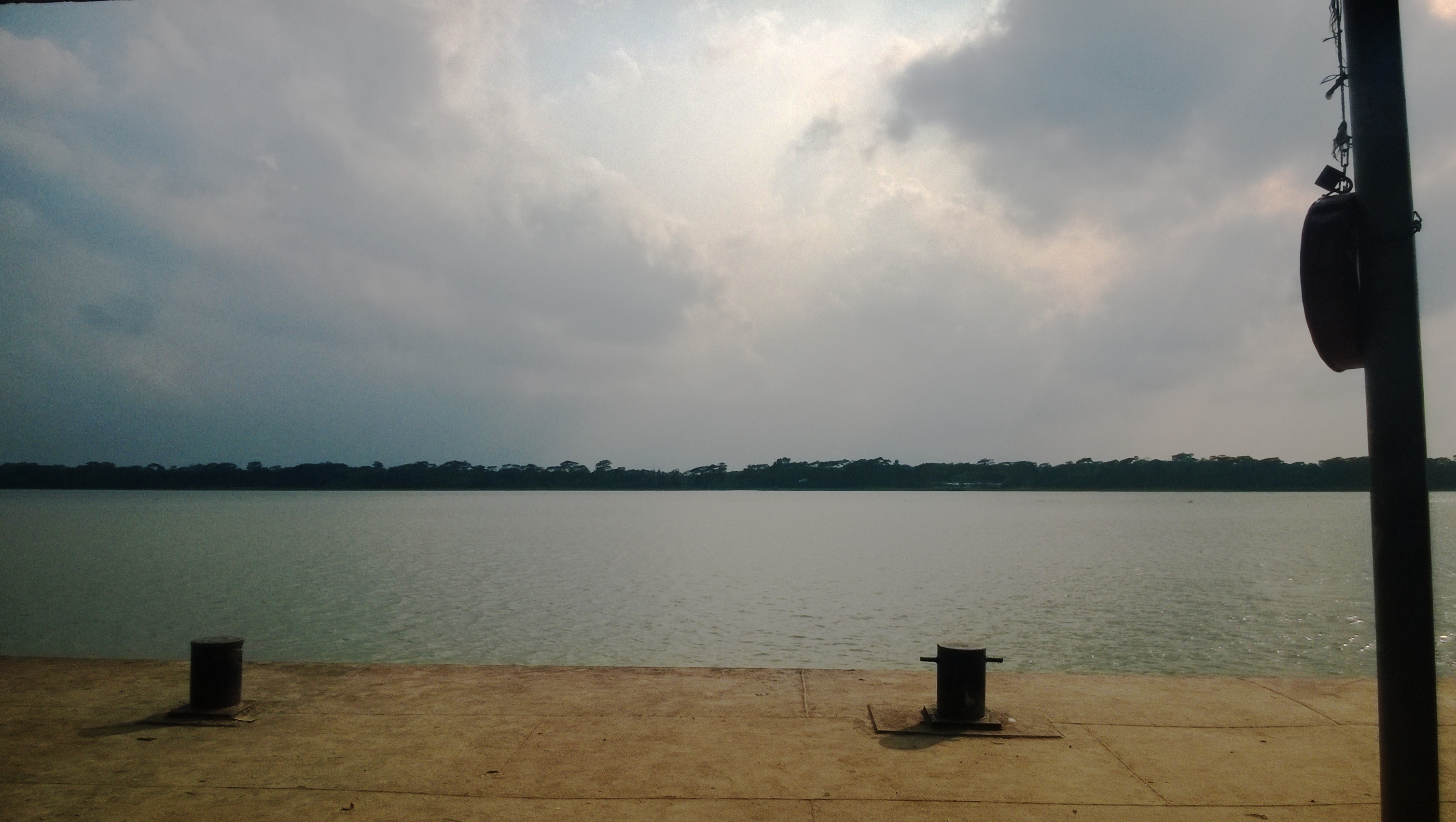
WP_20150516_024
WP_20150516_020

WP_20150516_021

Beauty ❤
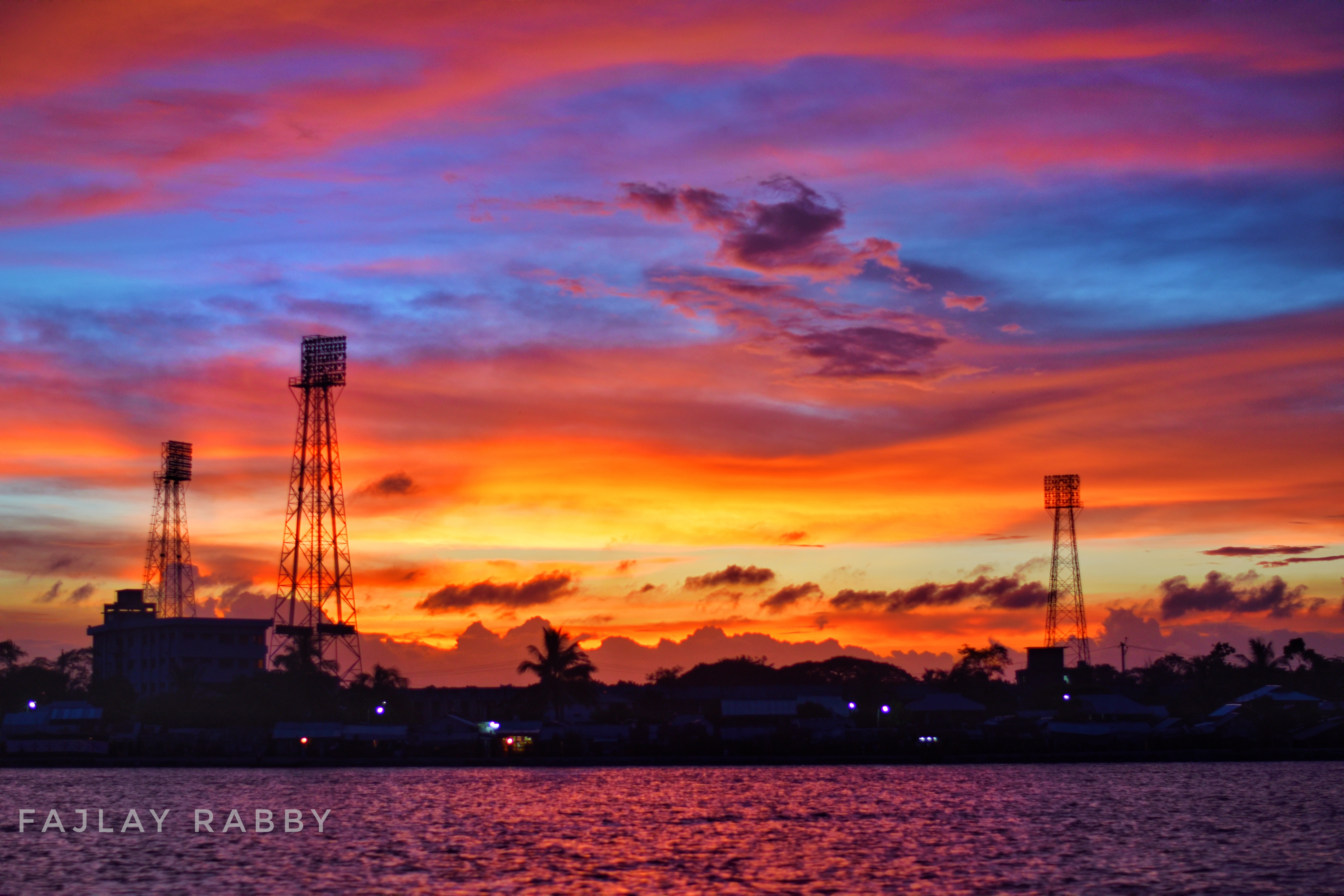
রক্তাক্ত নীল আকাশ
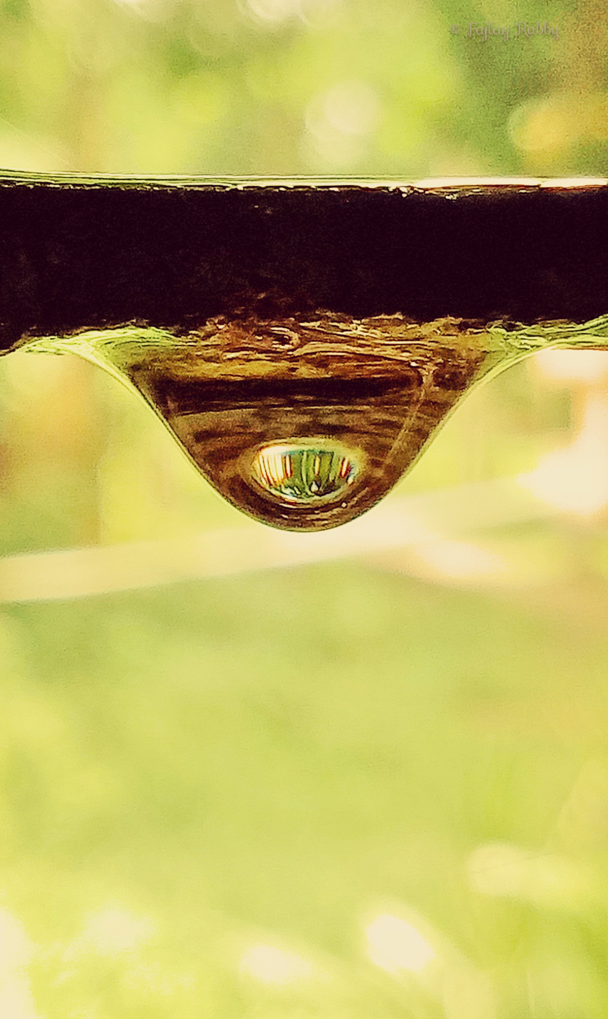
The Drop off life
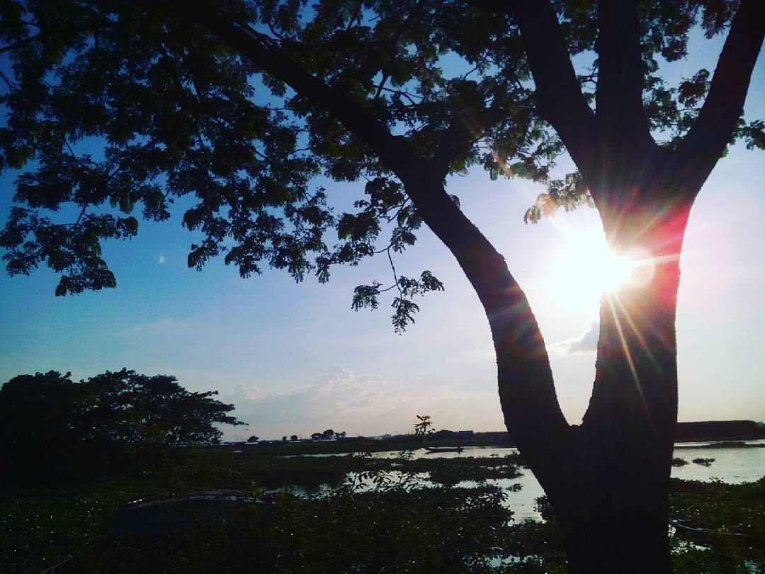
#sunshine #trees #river #shadow #bluesky #mobilephotography #gholagraphy
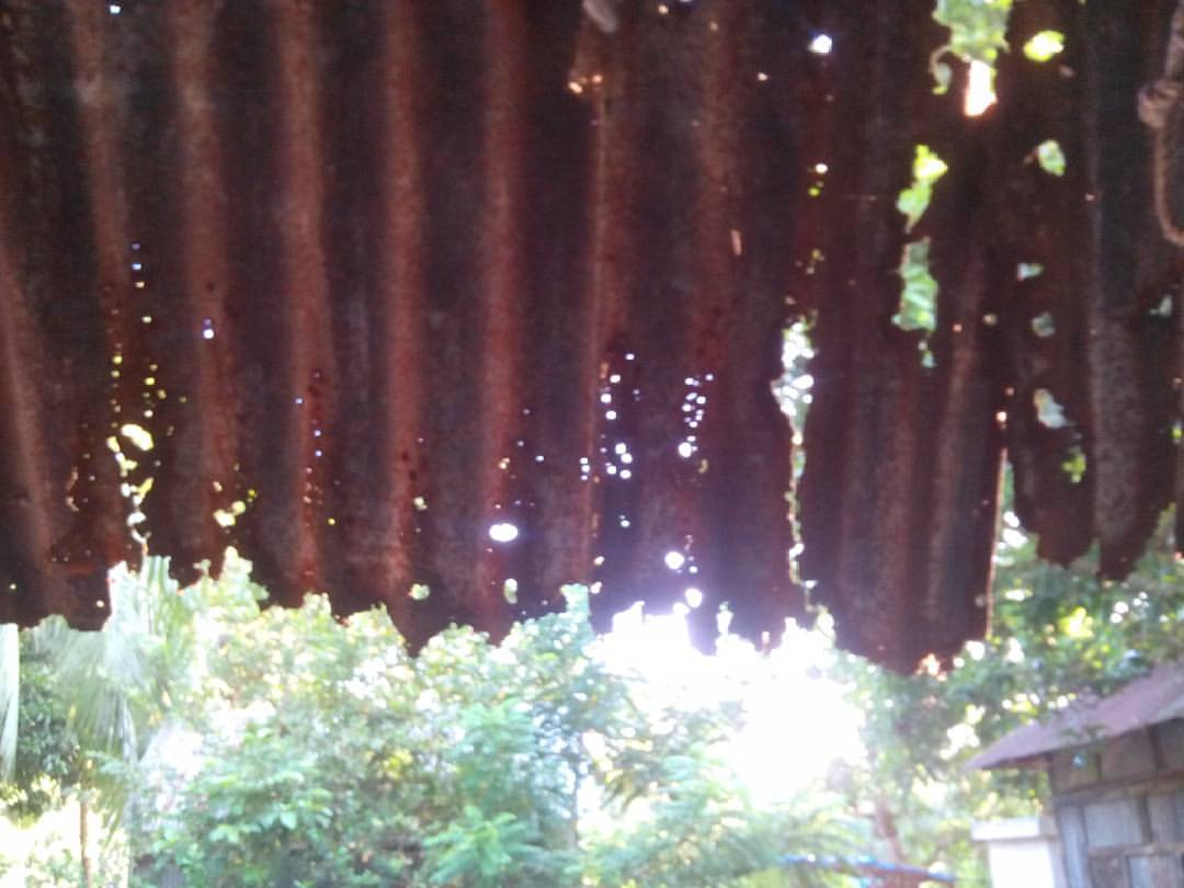
"ফুটা চালের সংসার"
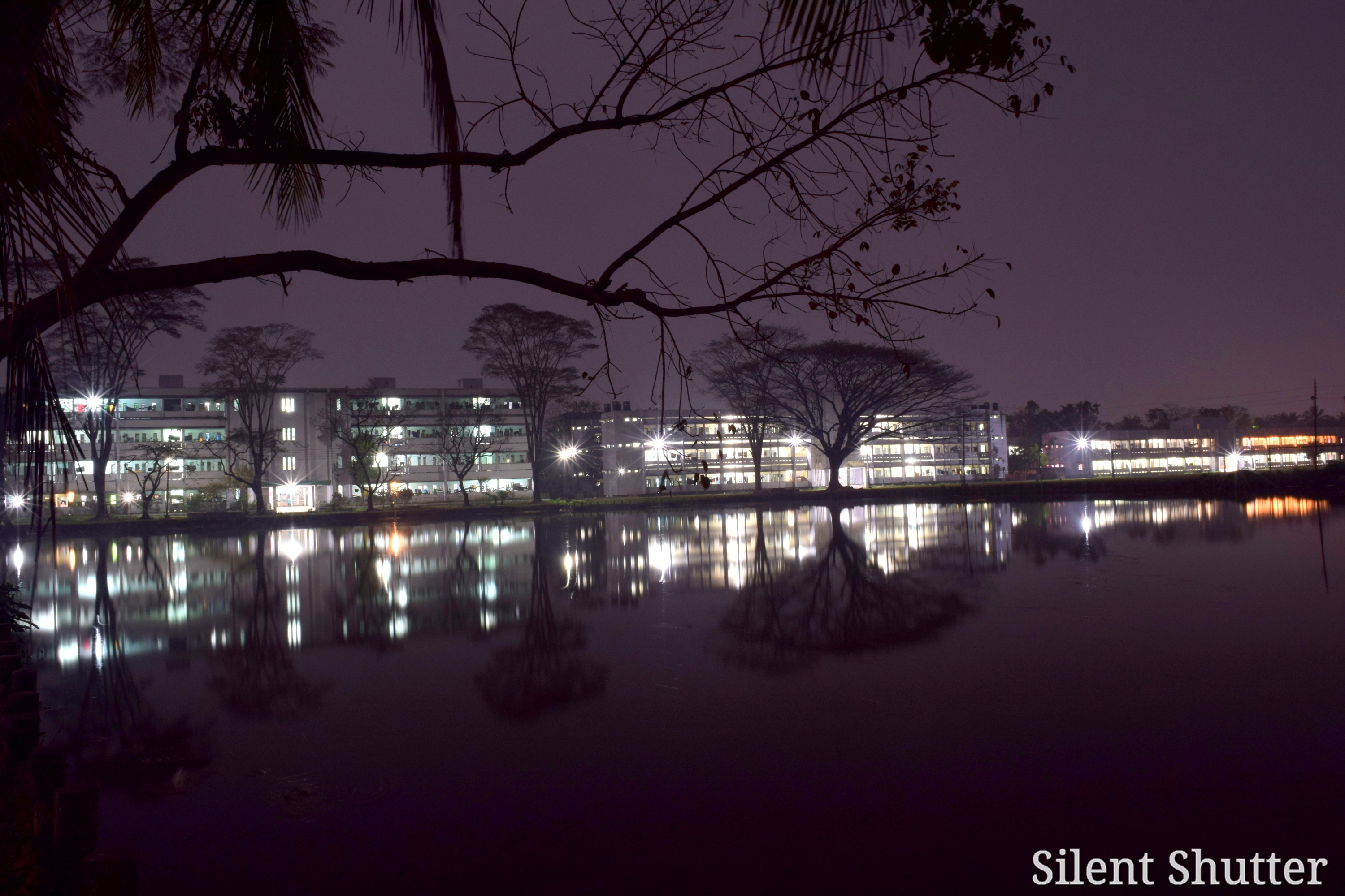
'Long Exposure'
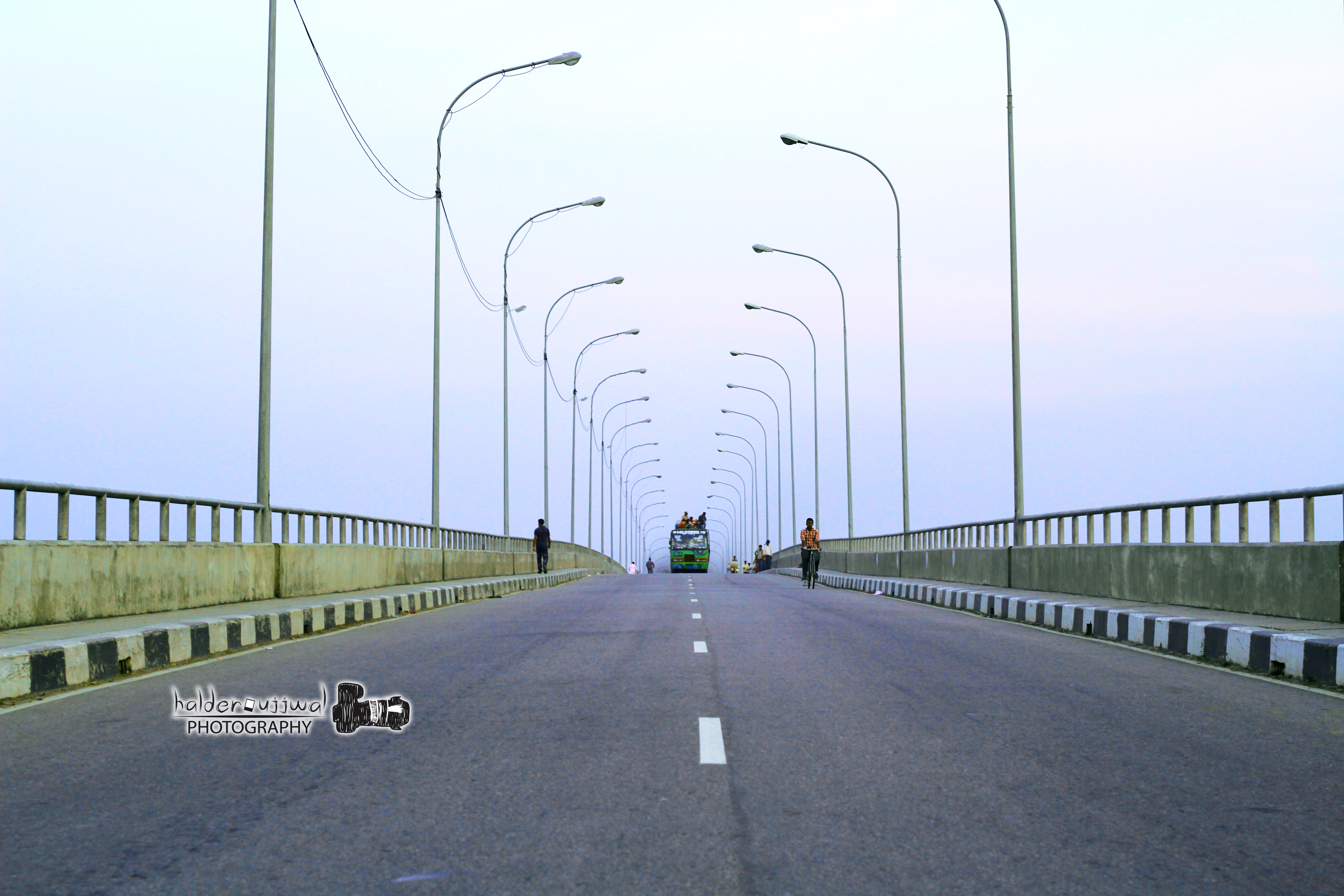
Dapdapia Bridge, Barisal....Beautiful Bangladesh
It's Boarding Time
Dopdopia Bridge
Lights Please
Kirtonkhola River ....

সূর্যাস্ত (sunset)
Topographic Map of Bakerganj Upazila, Bangladesh
Find elevation by address:

Places near Bakerganj Upazila, Bangladesh:
Barisal District
Barisal
Char Chatkimara
Jhalokati District
Bankerhat Riverside
Banker Hat Co-operative College
Char Kali
Bhola
Charpata High School
Daulatkhan
Wazirpur Upazila
Lakshmipur District
Lakshmipur
Shakhipur
Shariatpur District
Shakhipur Police Station,shariatpur
Sakhipur
Madaripur District
Chandpur
Noakhali Science And Technology University
Recent Searches:
- Elevation of Woodland Oak Pl, Thousand Oaks, CA, USA
- Elevation of Brownsdale Rd, Renfrew, PA, USA
- Elevation of Corcoran Ln, Suffolk, VA, USA
- Elevation of Mamala II, Sariaya, Quezon, Philippines
- Elevation of Sarangdanda, Nepal
- Elevation of 7 Waterfall Way, Tomball, TX, USA
- Elevation of SW 57th Ave, Portland, OR, USA
- Elevation of Crocker Dr, Vacaville, CA, USA
- Elevation of Pu Ngaol Community Meeting Hall, HWHM+3X7, Krong Saen Monourom, Cambodia
- Elevation of Royal Ontario Museum, Queens Park, Toronto, ON M5S 2C6, Canada