Elevation of Daulatkhan, Bangladesh
Location: Bangladesh > Barisal Division > Bhola District >
Longitude: 90.7413661
Latitude: 22.6051091
Elevation: 8m / 26feet
Barometric Pressure: 101KPa
Elevation Map:
Satellite Map:
Related Photos:

Kinky Nature

Ambigram on leaf (Leafogram) - আকাশ

Ambigram "প্রকৃতি" on leaf

Ambigram "পত্র" on Leaf

Ambigram "পত্র" on Leaf

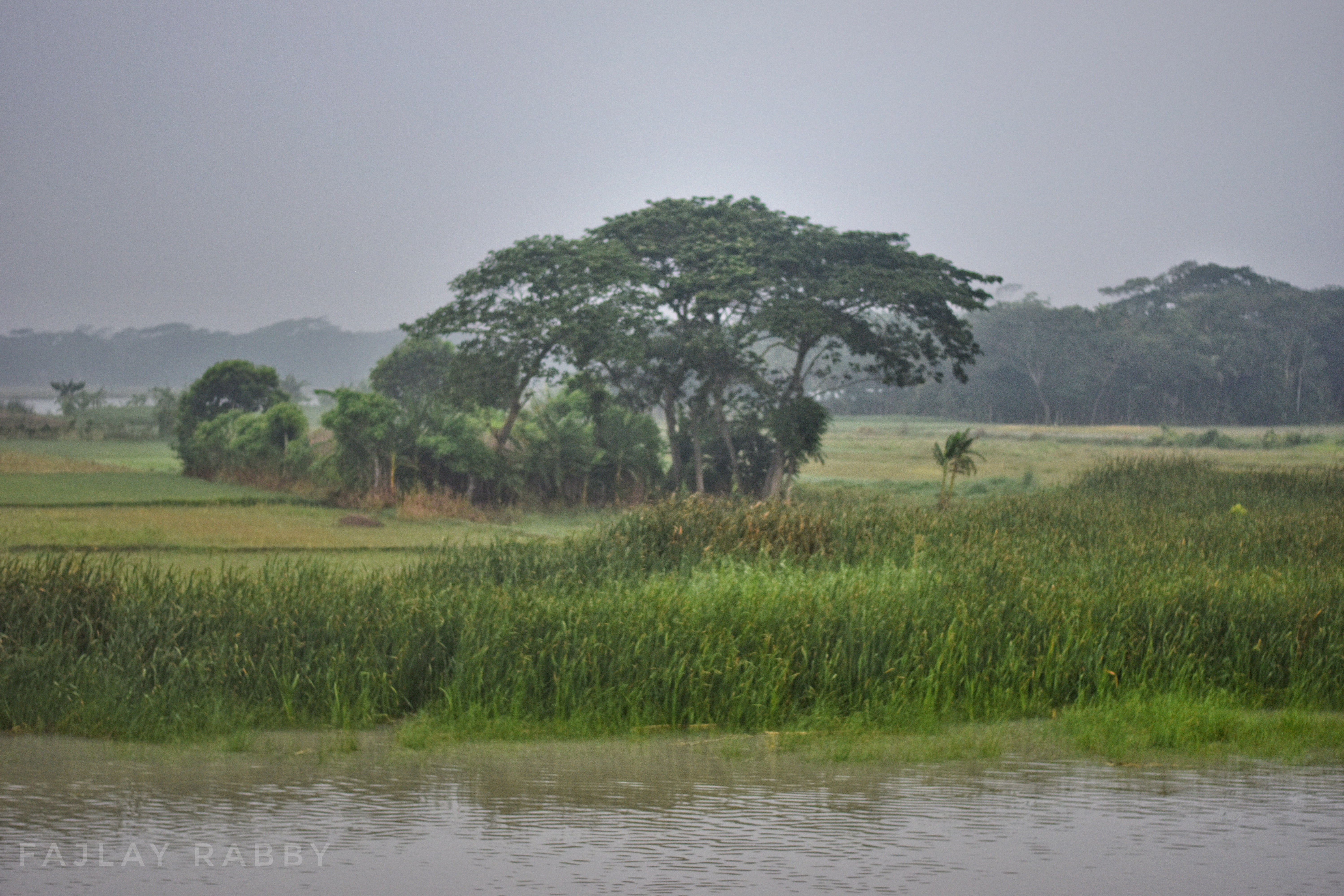
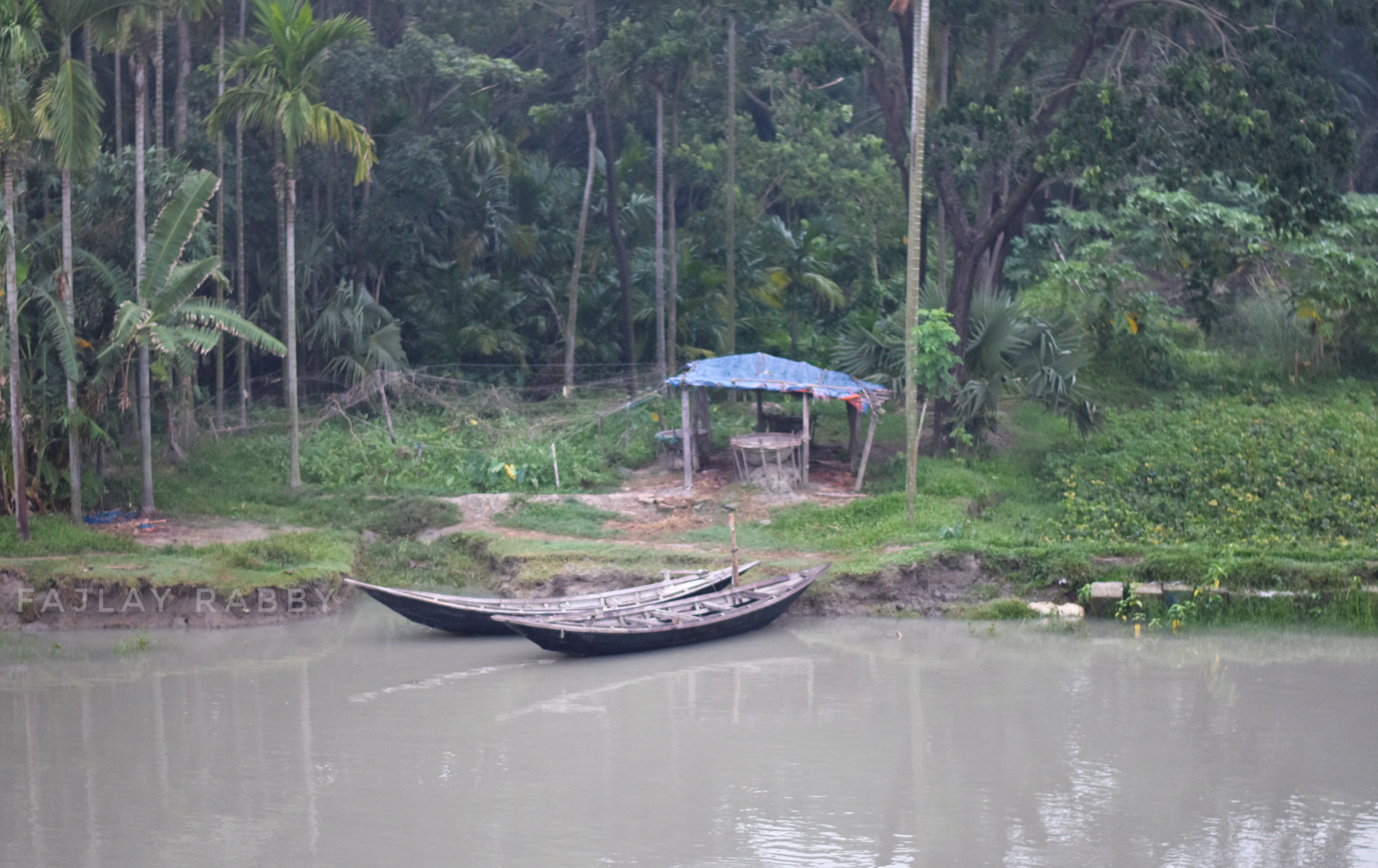
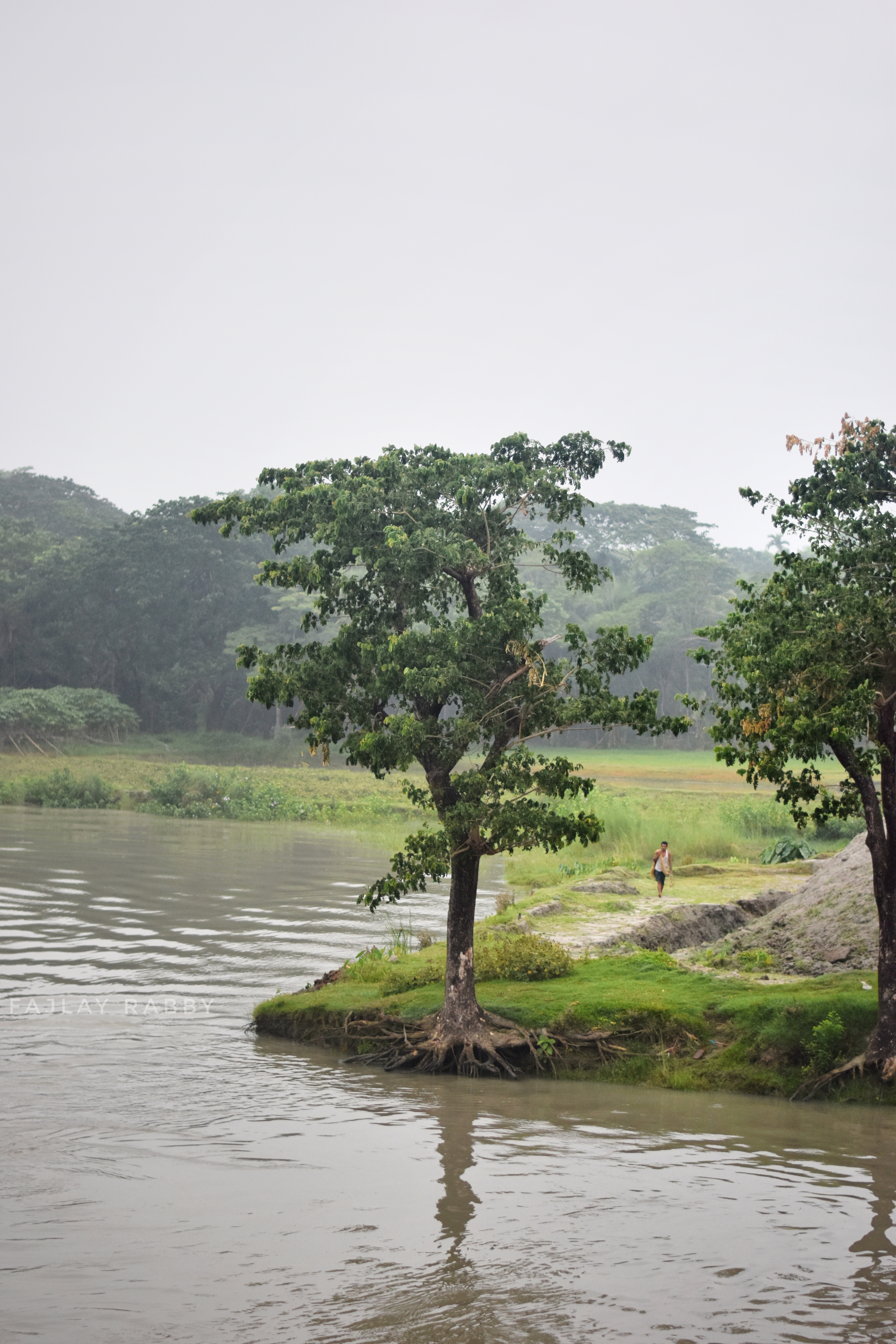
A memorable morning
A memorable morning

A memorable morning

A memorable morning

A memorable morning

A memorable morning

A memorable morning

A memorable morning
A memorable morning

A memorable morning
A memorable morning

A memorable morning

A memorable morning

A memorable morning

A memorable morning

Street Market
Topographic Map of Daulatkhan, Bangladesh
Find elevation by address:

Places near Daulatkhan, Bangladesh:
Charpata High School
Bhola
Char Kali
Banker Hat Co-operative College
Bankerhat Riverside
Char Chatkimara
Lakshmipur District
Bakerganj Upazila
Lakshmipur
Barisal District
Barisal
Noakhali Science And Technology University
Noakhali
Maijdee Court
Noakhali District
Jhalokati District
Companiganj Upazila
Chandpur
Chandpur District
Haziganj
Recent Searches:
- Elevation of SW 57th Ave, Portland, OR, USA
- Elevation of Crocker Dr, Vacaville, CA, USA
- Elevation of Pu Ngaol Community Meeting Hall, HWHM+3X7, Krong Saen Monourom, Cambodia
- Elevation of Royal Ontario Museum, Queens Park, Toronto, ON M5S 2C6, Canada
- Elevation of Groblershoop, South Africa
- Elevation of Power Generation Enterprises | Industrial Diesel Generators, Oak Ave, Canyon Country, CA, USA
- Elevation of Chesaw Rd, Oroville, WA, USA
- Elevation of N, Mt Pleasant, UT, USA
- Elevation of 6 Rue Jules Ferry, Beausoleil, France
- Elevation of Sattva Horizon, 4JC6+G9P, Vinayak Nagar, Kattigenahalli, Bengaluru, Karnataka, India