Elevation of Madaripur District, Bangladesh
Location: Bangladesh > Dhaka Division >
Longitude: 90.1869644
Latitude: 23.2393346
Elevation: 8m / 26feet
Barometric Pressure: 101KPa
Elevation Map:
Satellite Map:
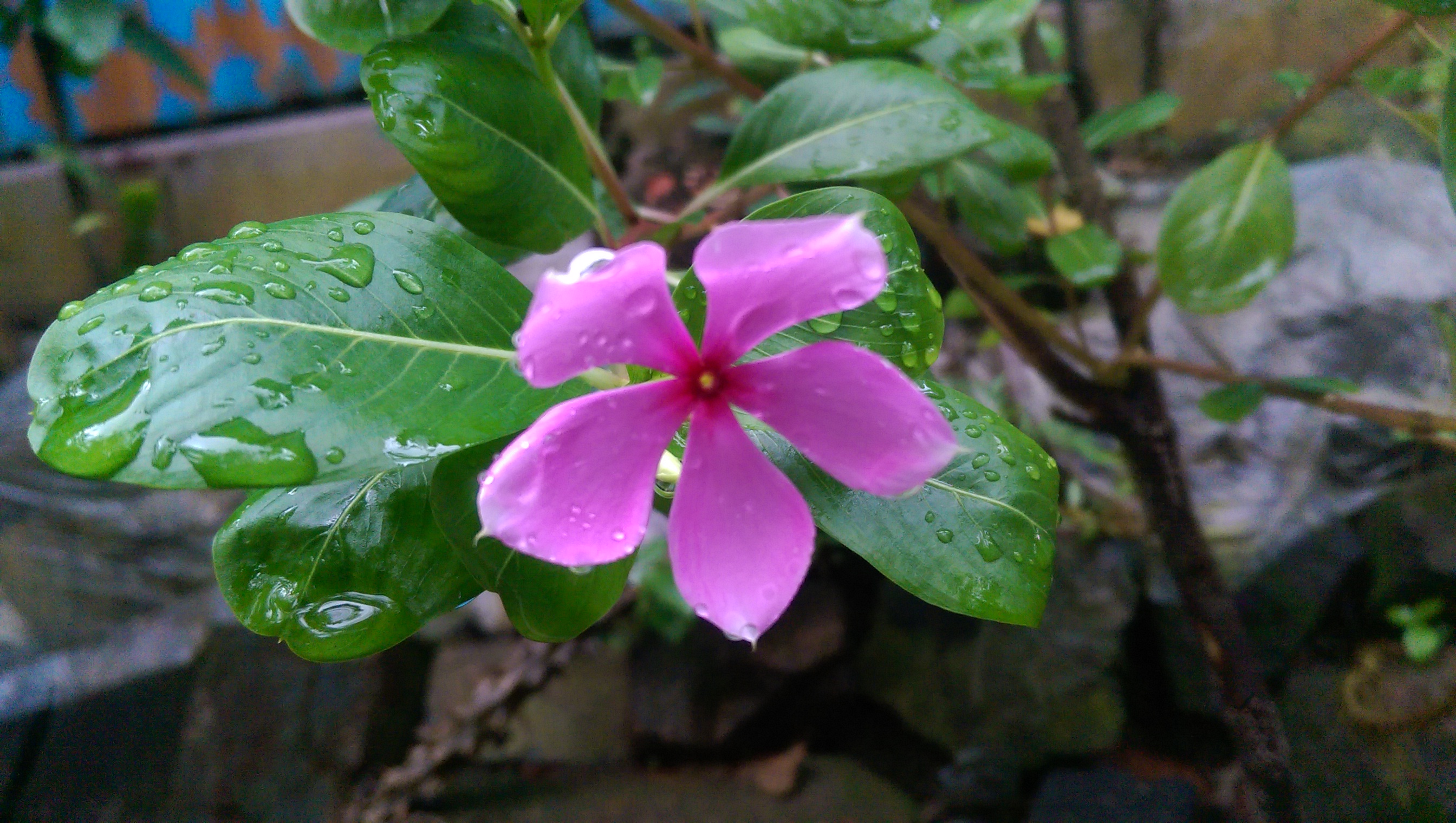
Related Photos:
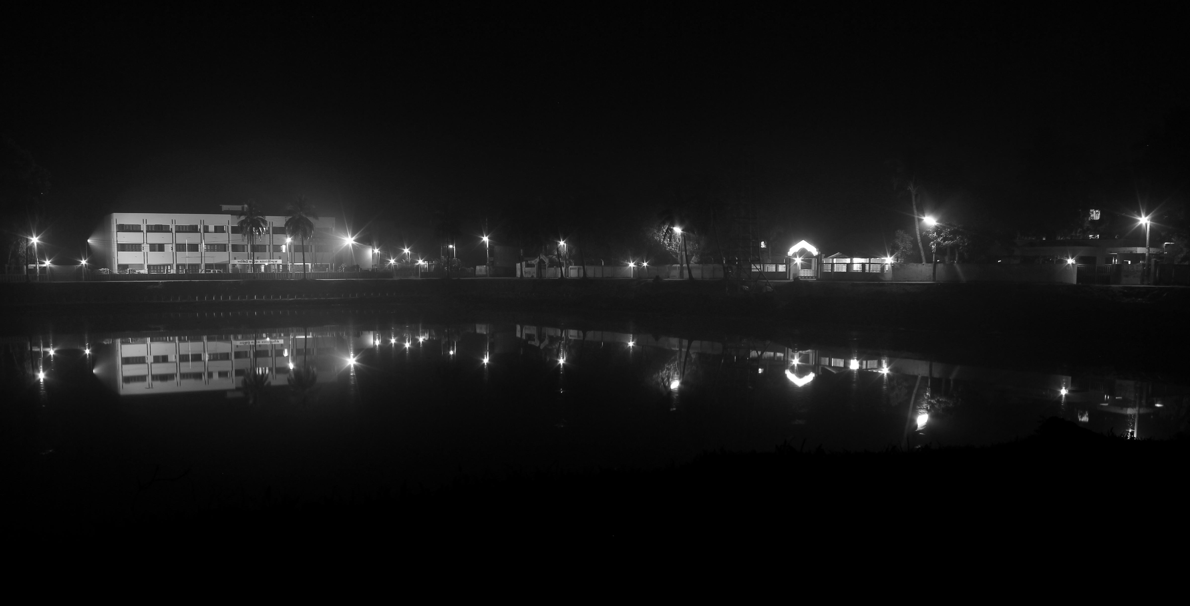
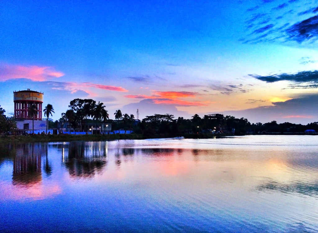
View of Madaripur Lake with Circuit House
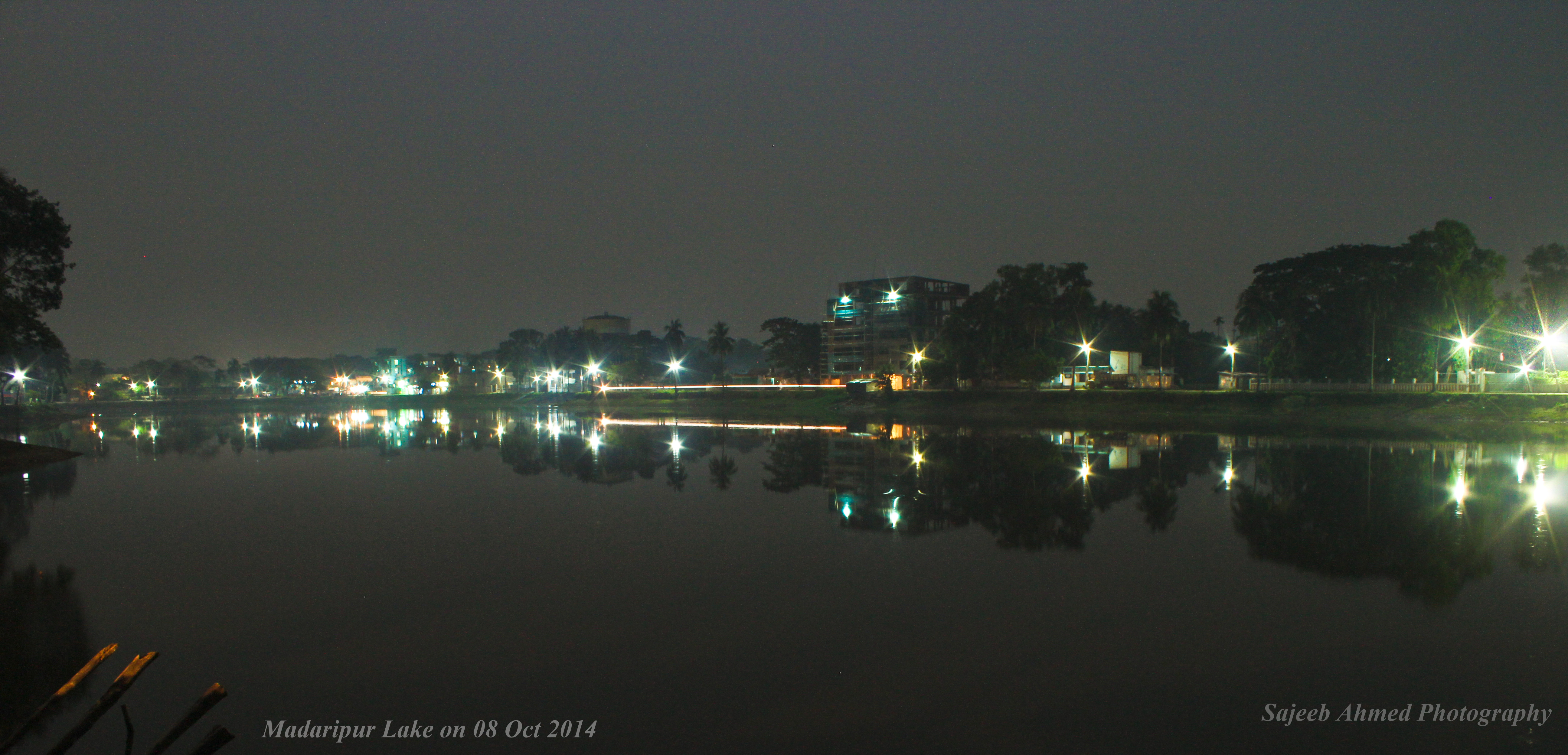
Madaripur Lake at Night
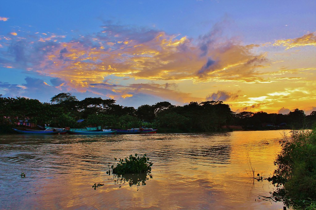
IMG_5182: Dusk
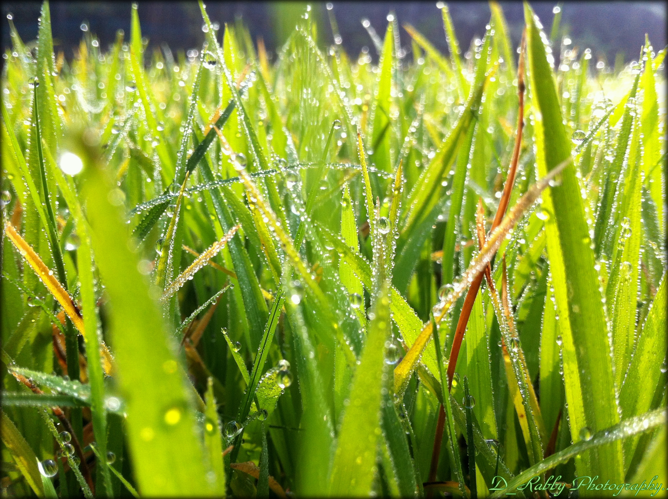
D_Rabby Photography
Sunset Time

।। শীতের পরন্ত বিকেল ।।
Unknown photography
Unknown photography
Unknown photography
Unknown photography
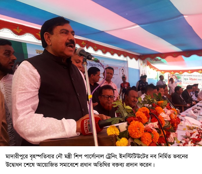
Madaipur Shipping Minister Picture 8-11-18
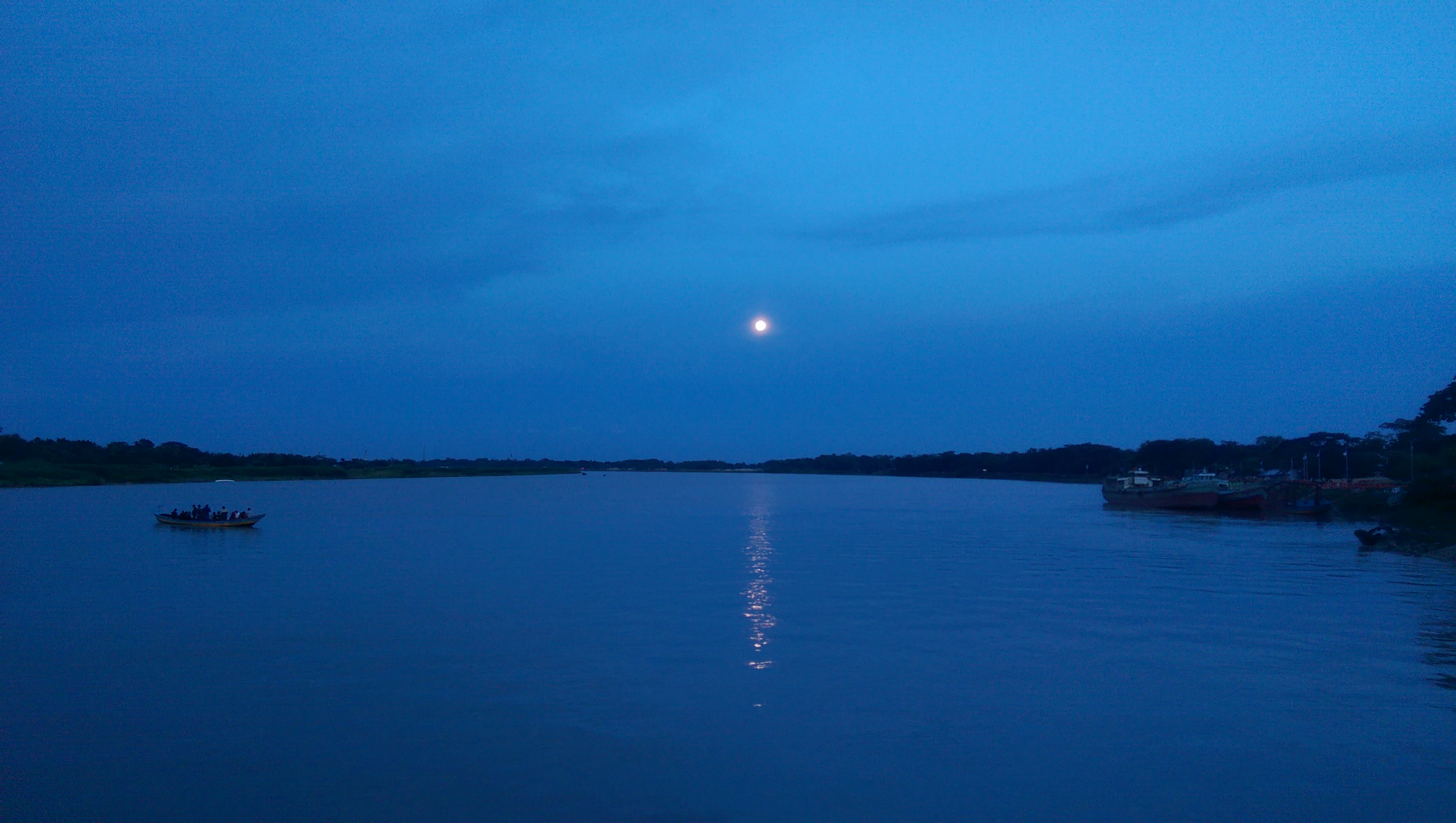
Moon rise
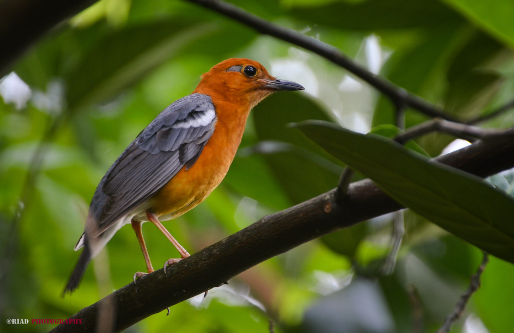
Orange Headed Thrush .
Topographic Map of Madaripur District, Bangladesh
Find elevation by address:

Places near Madaripur District, Bangladesh:
Bhanga
Shariatpur District
Shakhipur
Shakhipur Police Station,shariatpur
Munshiganj District
Sakhipur
Wazirpur Upazila
Nawabganj Upazila
Munshiganj
Chandpur
Bangladesh
Bscic
Young4ever Textiles Ltd.
Innovative Knitex Ltd.
Narayanganj
Fatullah
Motaleb Monowara Composite (pvt) Ltd.
Huzurpara
Sadarghat Launch Terminal
Eurotex Knitwear Ltd.
Recent Searches:
- Elevation of 72-31 Metropolitan Ave, Middle Village, NY, USA
- Elevation of 76 Metropolitan Ave, Brooklyn, NY, USA
- Elevation of Alisal Rd, Solvang, CA, USA
- Elevation of Vista Blvd, Sparks, NV, USA
- Elevation of 15th Ave SE, St. Petersburg, FL, USA
- Elevation of Beall Road, Beall Rd, Florida, USA
- Elevation of Leguwa, Nepal
- Elevation of County Rd, Enterprise, AL, USA
- Elevation of Kolchuginsky District, Vladimir Oblast, Russia
- Elevation of Shustino, Vladimir Oblast, Russia