Elevation of Bhanga, Bangladesh
Location: Bangladesh > Dhaka Division > Faridpur District >
Longitude: 90.0186555
Latitude: 23.4061686
Elevation: 5m / 16feet
Barometric Pressure: 101KPa
Elevation Map:
Satellite Map:
Related Photos:
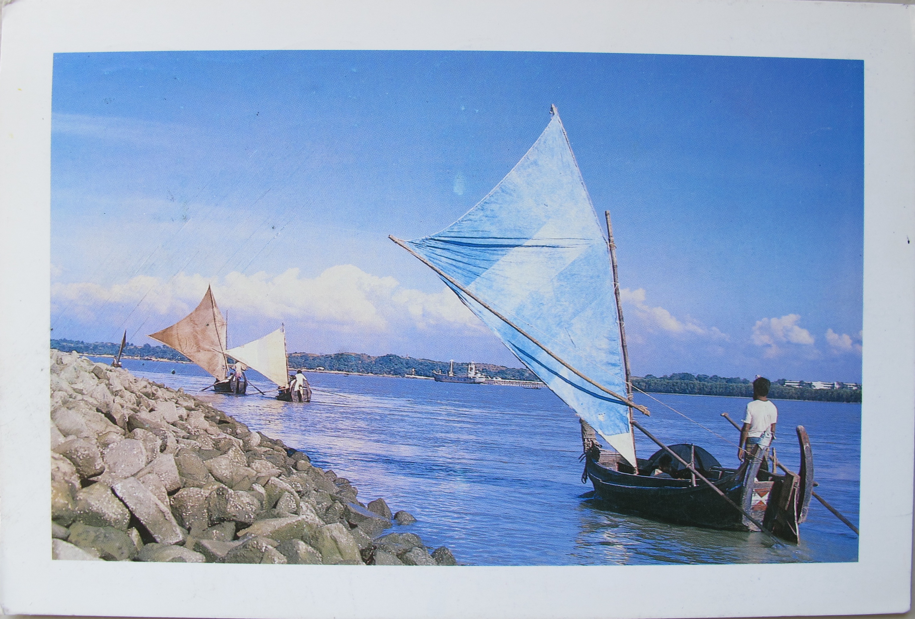
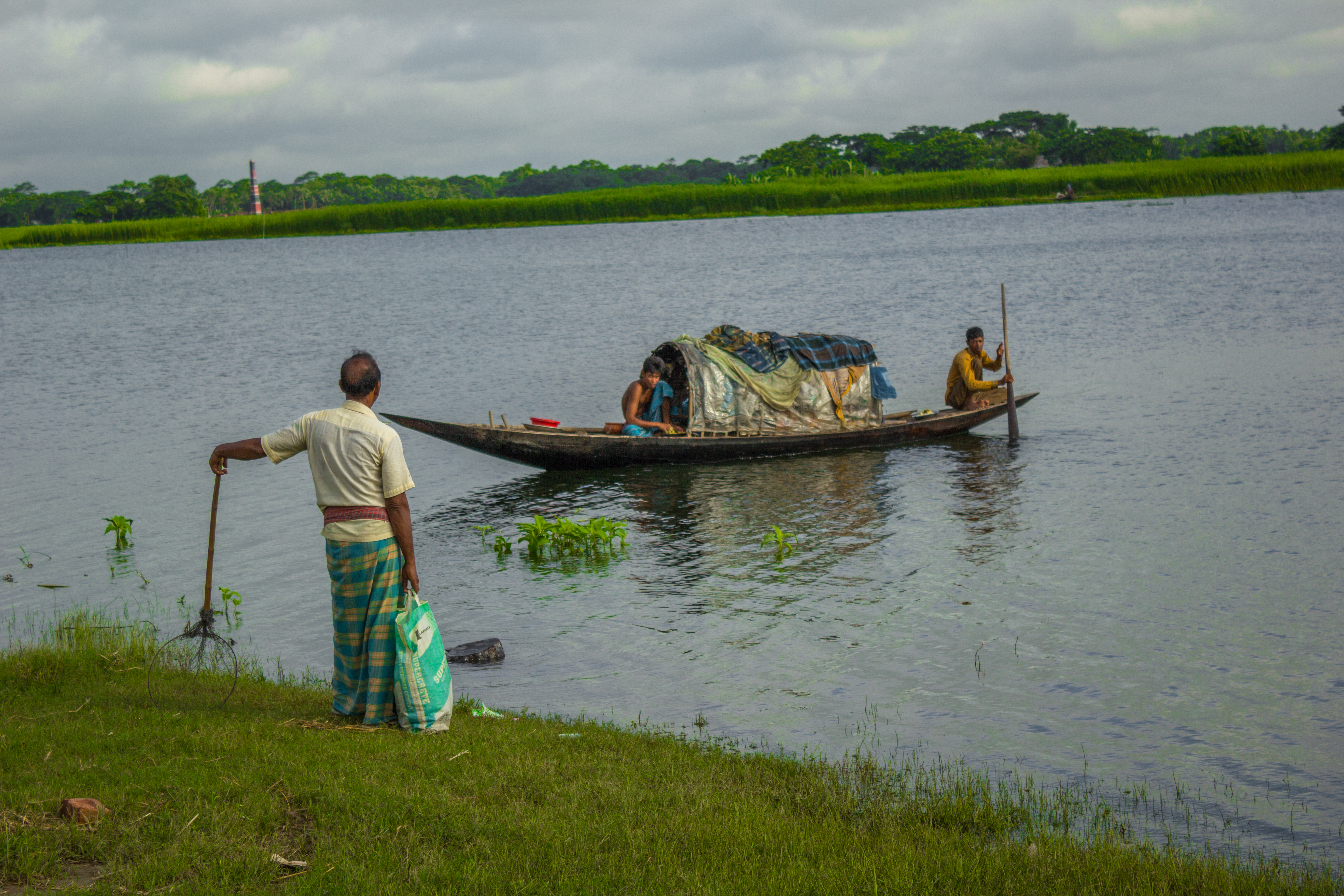
Land (23 of 47)

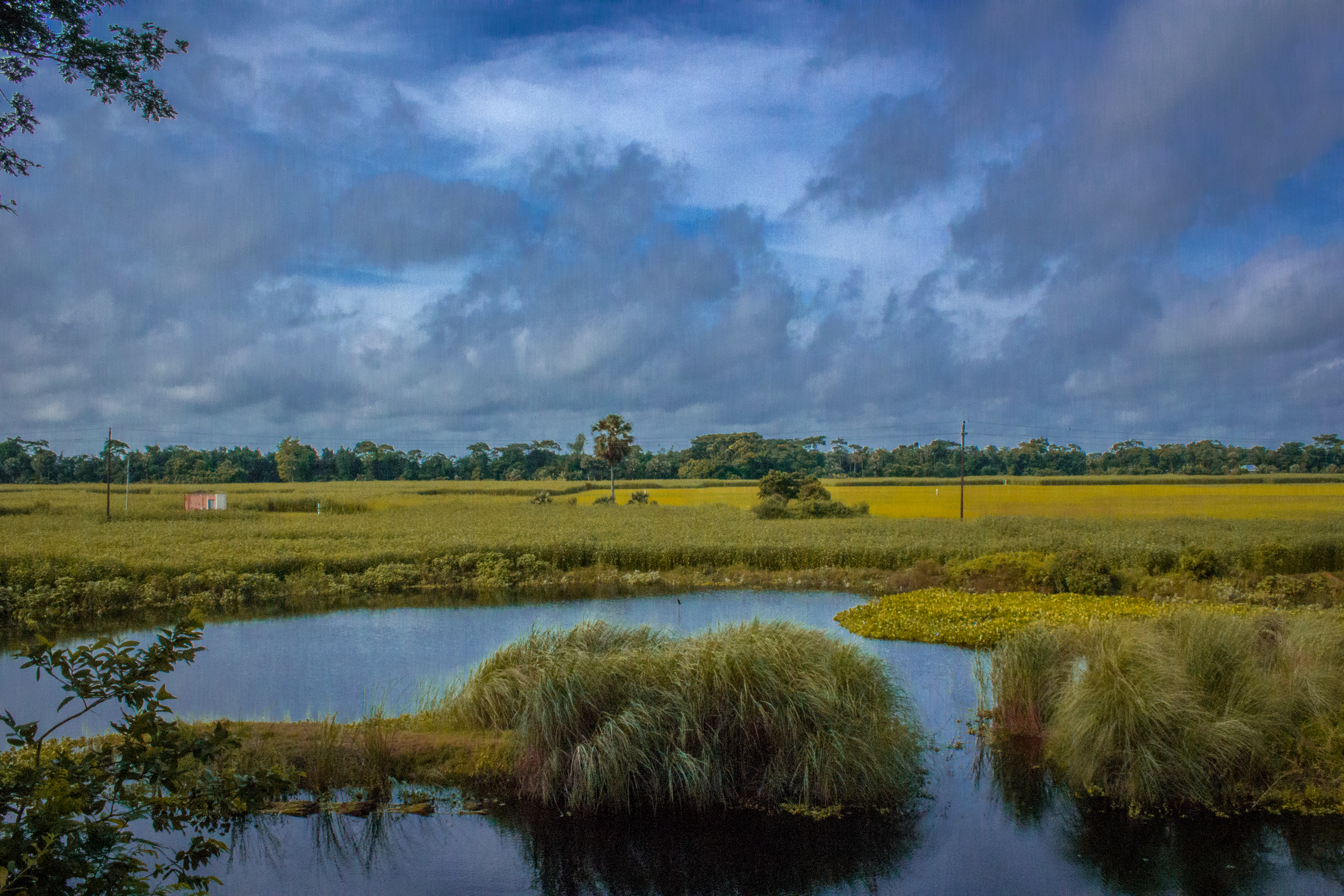
Landscape (1 of 1)
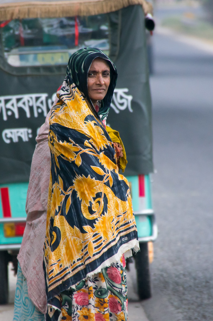
Woman in shawl
MY-CS-00183
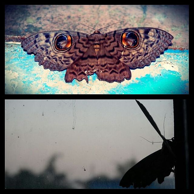
WEETJE: De nep ogen bedoeld zijn om roofdieren af te schrikken! Gaaf he? :D Dit was een vlinder die ik vond ik mijn kamer! Hij was meer dan 10cm groot en het leek net of hij ogen had. #natuur #vlinder #weetje

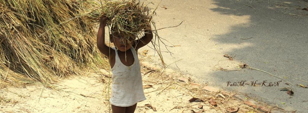
Kids working in a field

Land (24 of 47)

Land (22 of 47)
Learning_6 (22 of 27)
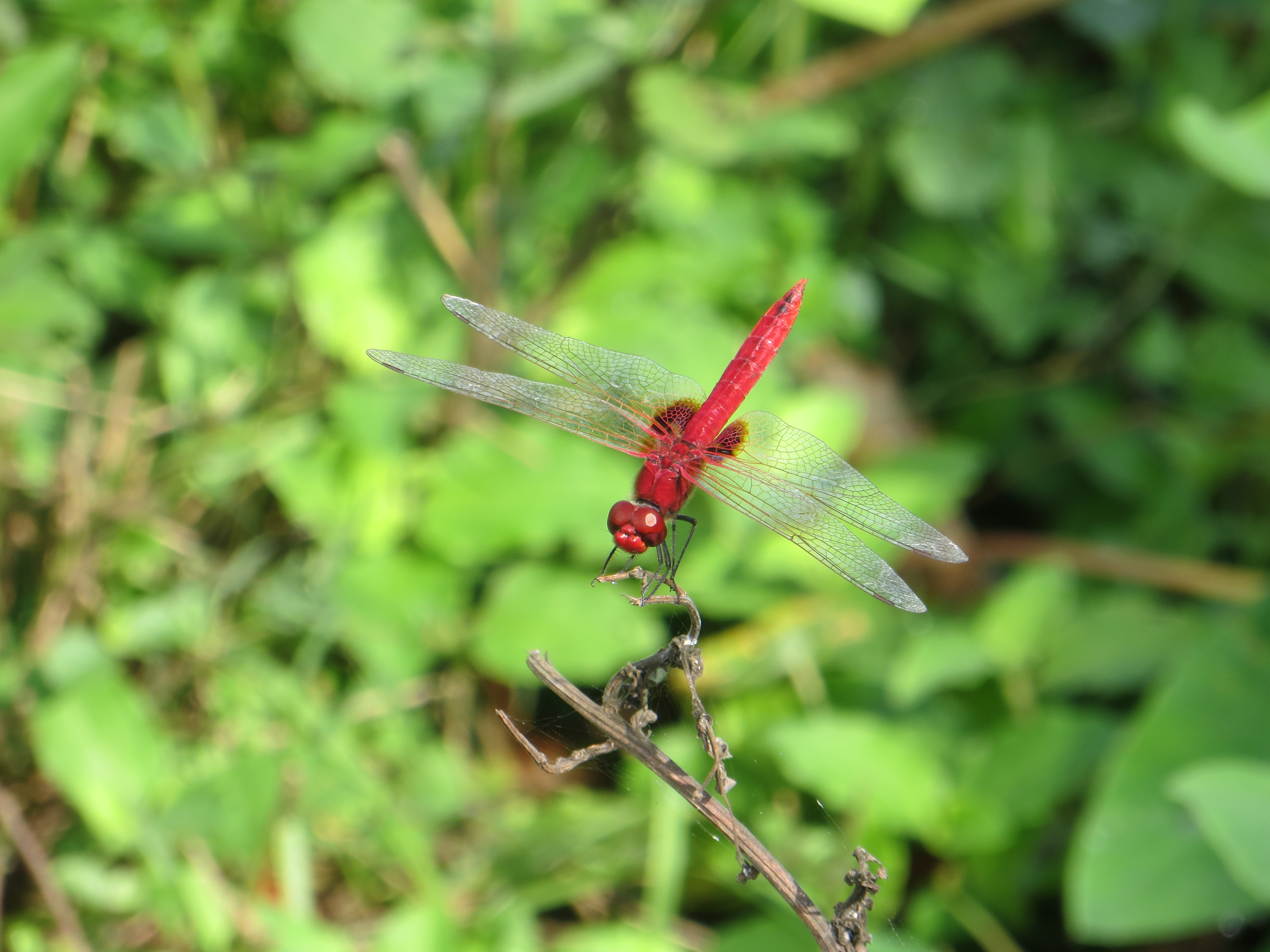
Dragonfly-2
Future farmer
Topographic Map of Bhanga, Bangladesh
Find elevation by address:

Places near Bhanga, Bangladesh:
Madaripur District
Nawabganj Upazila
Munshiganj District
Manikganj Sadar Upazila
Bangladesh
Shariatpur District
Manikganj District
Huzurpara
Dhaka New Market
Sadarghat Launch Terminal
Mohammadpur
Kotwali
Arts Faculty
Ward-57
Ramna
Savar Union
Wapda Road
12 Mirpur Rd
Shamoly Square
Sos Children's Village Dhaka
Recent Searches:
- Elevation of Suffield, AB T0J 2N0, Canada
- Elevation of Coan West, Coon West, Co. Kilkenny, Ireland
- Elevation of 8 Rue Raoul Dufy, Collioure, France
- Elevation of 6 Muir St, Medowie NSW, Australia
- Elevation of Woodland Road, Woodland Rd, Lee, MA, USA
- Elevation of Turner Mill Rd, Talladega, AL, USA
- Elevation of Wylie Ridge Rd, New Cumberland, WV, USA
- Elevation of Dogwood Ln, Millsboro, DE, USA
- Elevation of Paseo Lucido, San Diego, CA, USA
- Elevation of W S, Orem, UT, USA