Elevation of Bainbridge, NY, USA
Location: United States > New York > Chenango County >
Longitude: -75.457777
Latitude: 42.302855
Elevation: 301m / 988feet
Barometric Pressure: 98KPa
Elevation Map:
Satellite Map:
Related Photos:
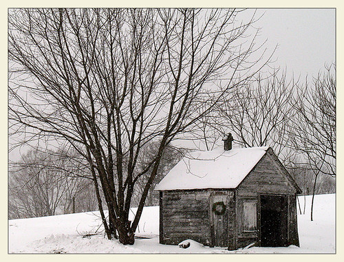
Longer Days Ahead

Bald Eagle

Morning on the Hill
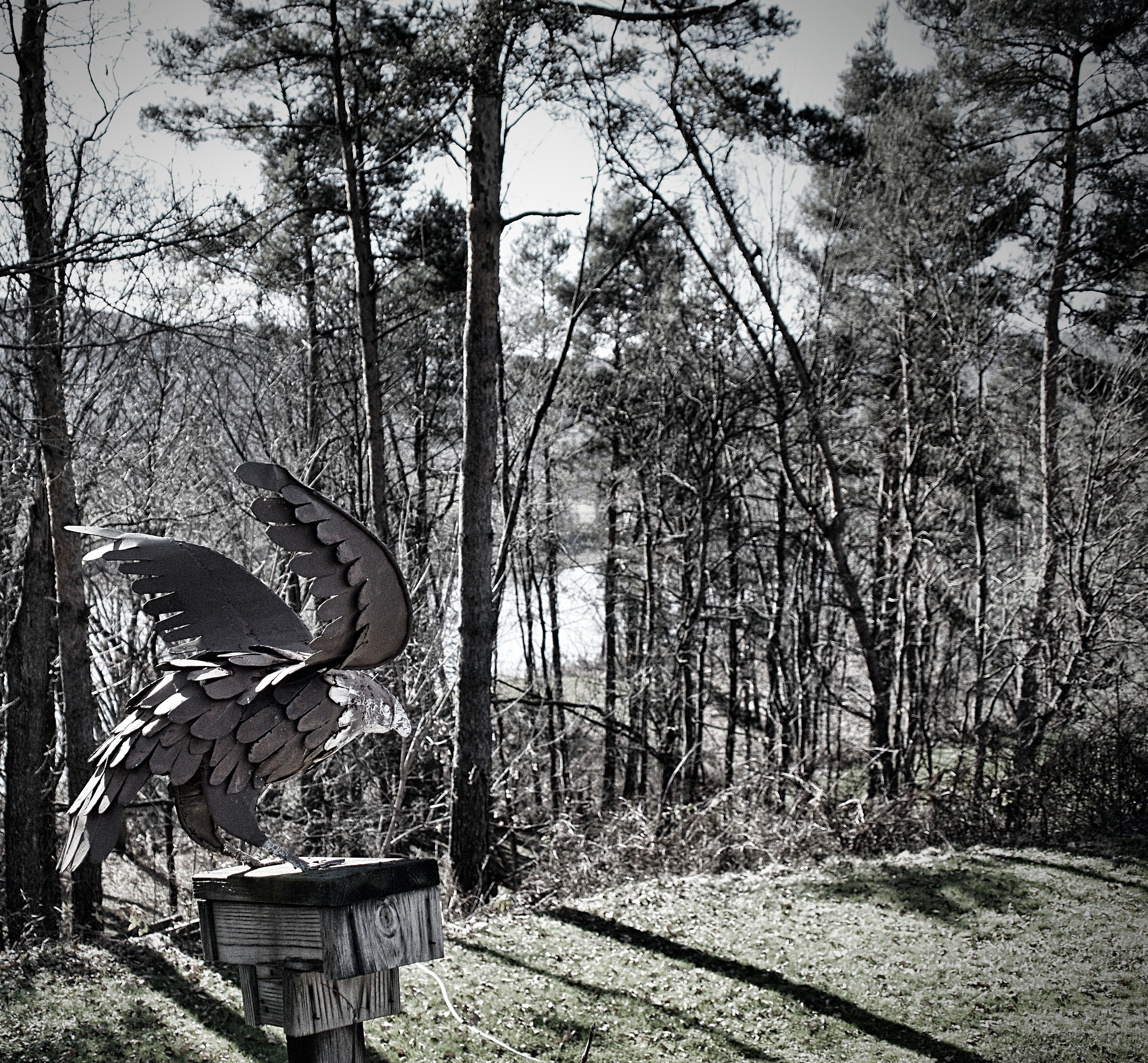
Iron Eagle

Black-crowned Night-Heron

Black-crowned Night-Heron

Great Egret

Great Egret

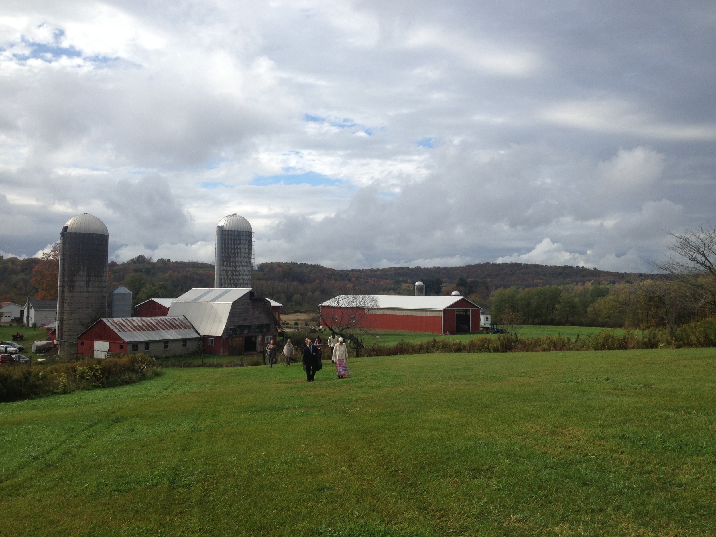
Two Friends, Again

CP 253
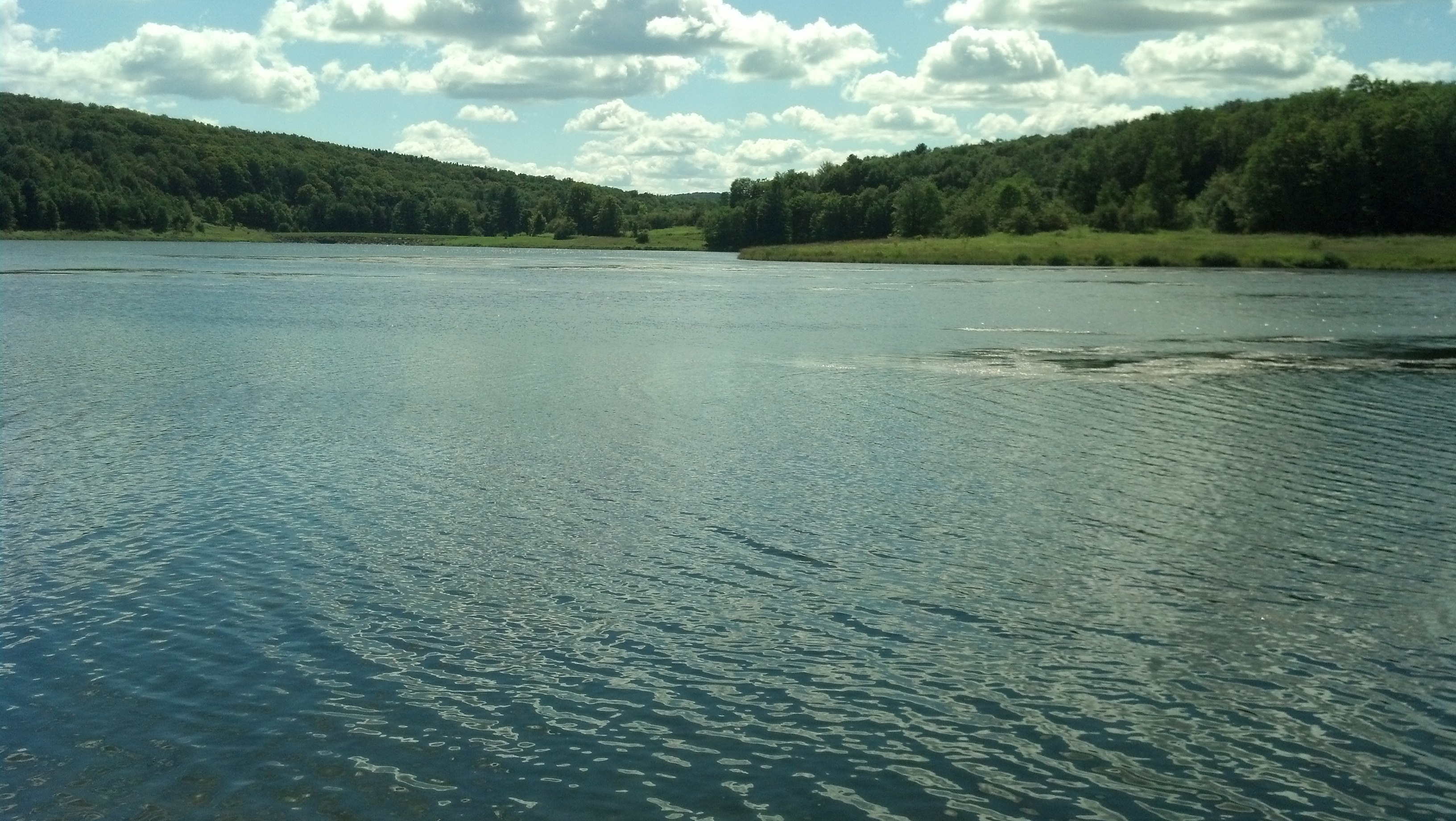
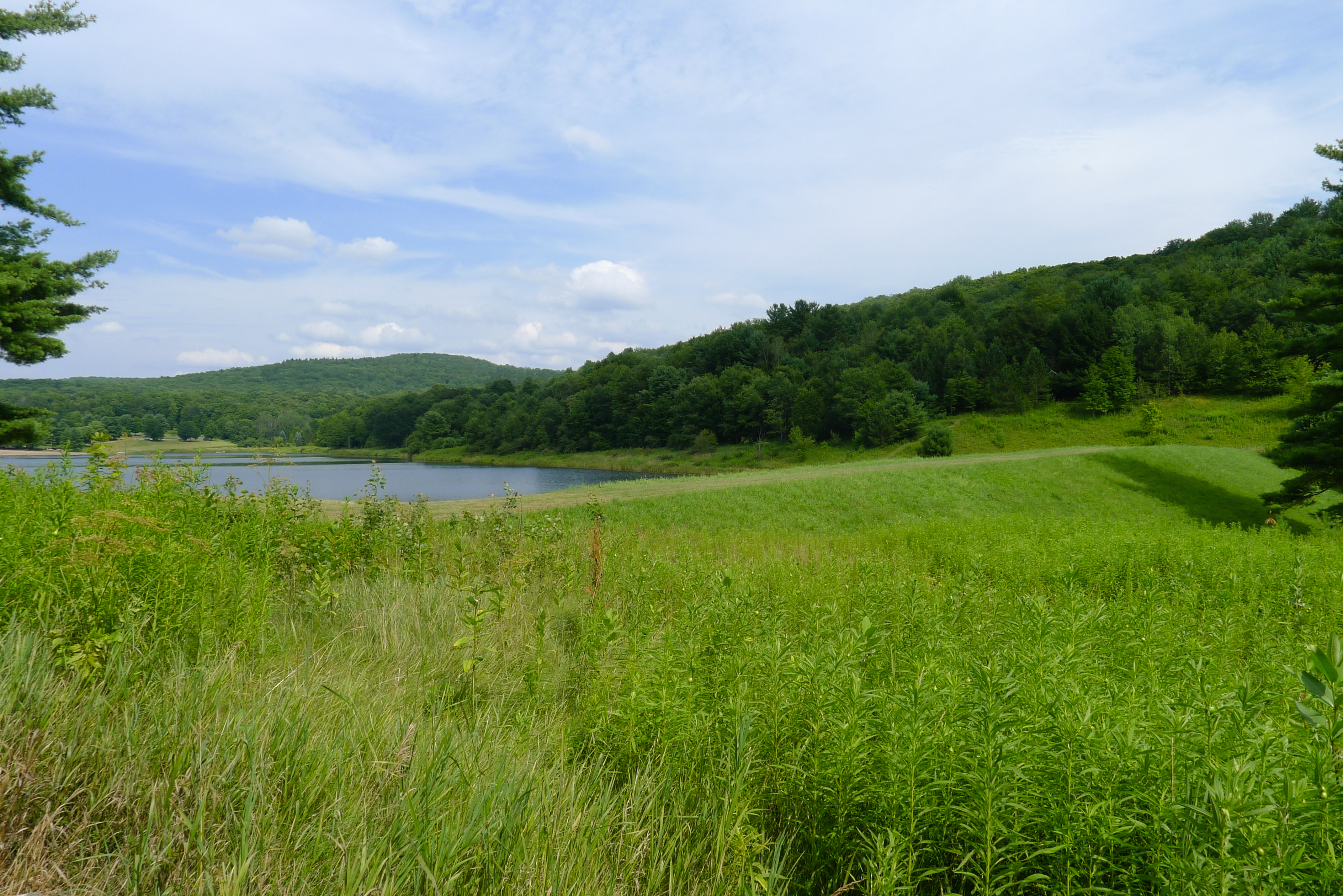
Arctic Lake
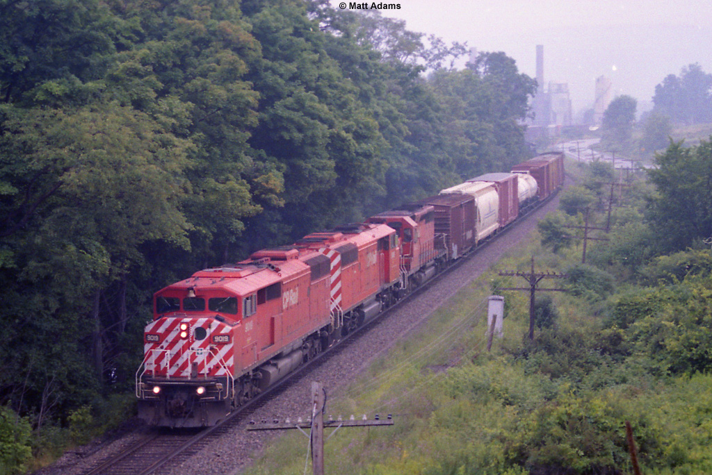
CP 253
Camera Roll-401
earthen dam
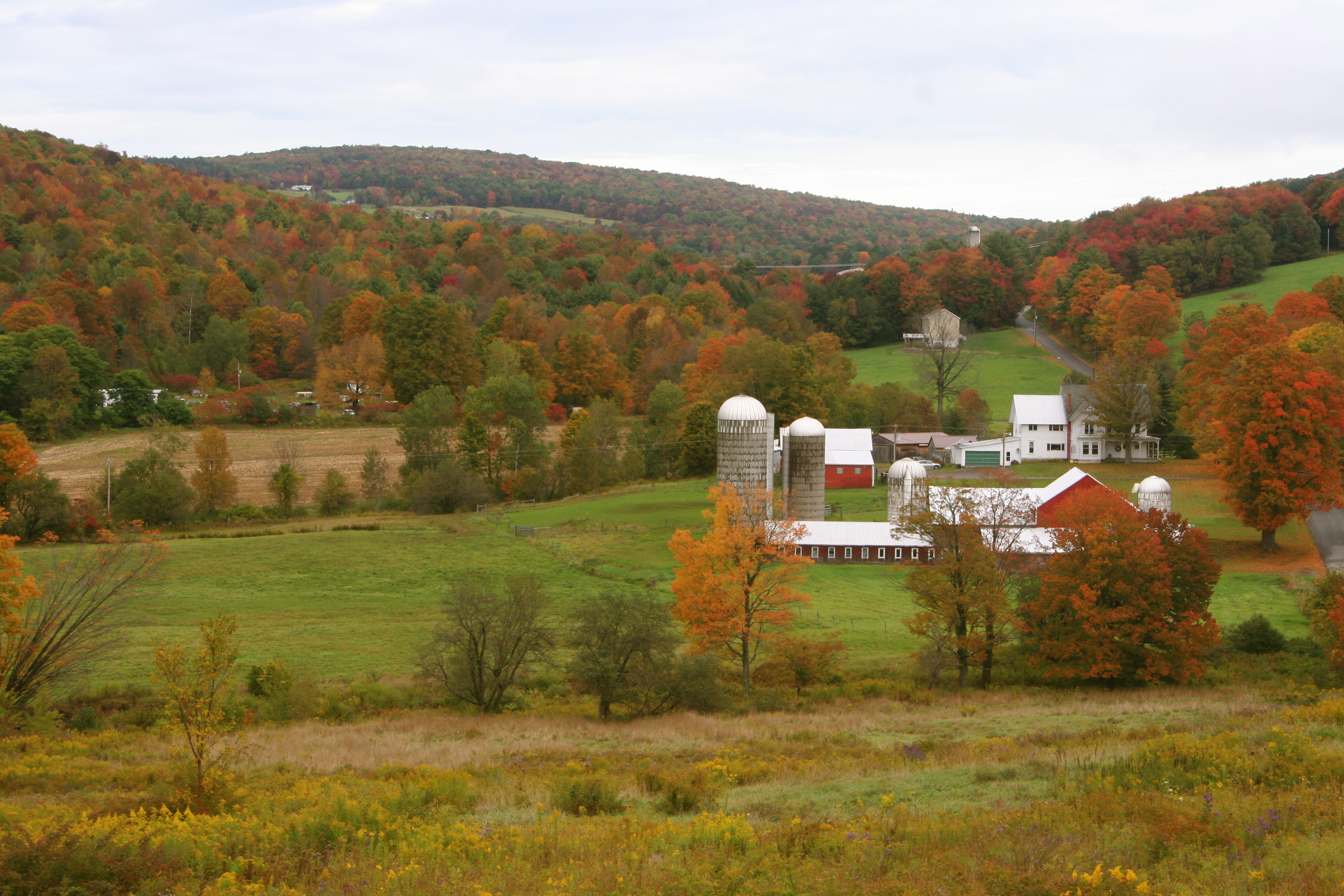
Fall Farm

Fallen Tree

IMGP1895.JPG
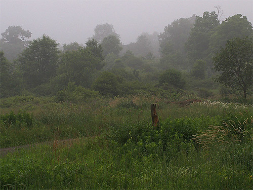
Misty Morning I

Fishing party

da beach

The Glen
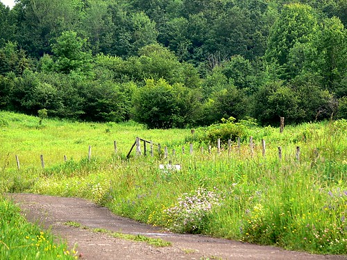
Morning Meadow

Driving Interstate 88

Facedown Tuesday at the Unadilla Drive-In
Topographic Map of Bainbridge, NY, USA
Find elevation by address:

Places in Bainbridge, NY, USA:
Places near Bainbridge, NY, USA:
76 N Main St
1 N Main St, Bainbridge, NY, USA
Bainbridge
60 W Main St
2851 Ny-7
977 County Rd 39
983 County Rd 39
315 Hohreiter Rd
123 K Parker
153 Case Rd
191 Delaware Ave
52 Union St
335 Valley View Rd
58 Main St, Sidney, NY, USA
Sidney
30 W Main St
County Road 17
Afton
106 Lingee Rd
NY-41, Afton, NY, USA
Recent Searches:
- Elevation of Corso Fratelli Cairoli, 35, Macerata MC, Italy
- Elevation of Tallevast Rd, Sarasota, FL, USA
- Elevation of 4th St E, Sonoma, CA, USA
- Elevation of Black Hollow Rd, Pennsdale, PA, USA
- Elevation of Oakland Ave, Williamsport, PA, USA
- Elevation of Pedrógão Grande, Portugal
- Elevation of Klee Dr, Martinsburg, WV, USA
- Elevation of Via Roma, Pieranica CR, Italy
- Elevation of Tavkvetili Mountain, Georgia
- Elevation of Hartfords Bluff Cir, Mt Pleasant, SC, USA