Elevation of Lingee Rd, Afton, NY, USA
Location: United States > New York > Chenango County > Afton > Afton >
Longitude: -75.464931
Latitude: 42.2134349
Elevation: 522m / 1713feet
Barometric Pressure: 95KPa
Elevation Map:
Satellite Map:
Related Photos:
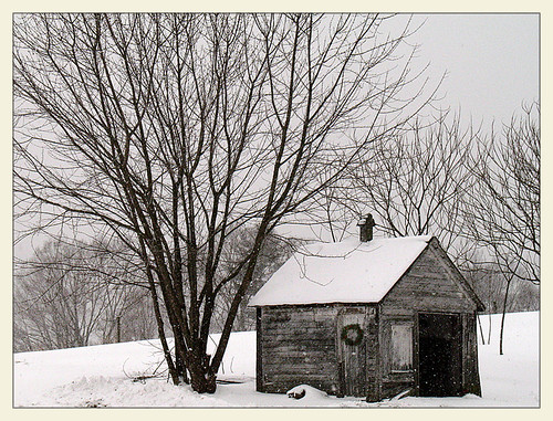
Longer Days Ahead

Bald Eagle
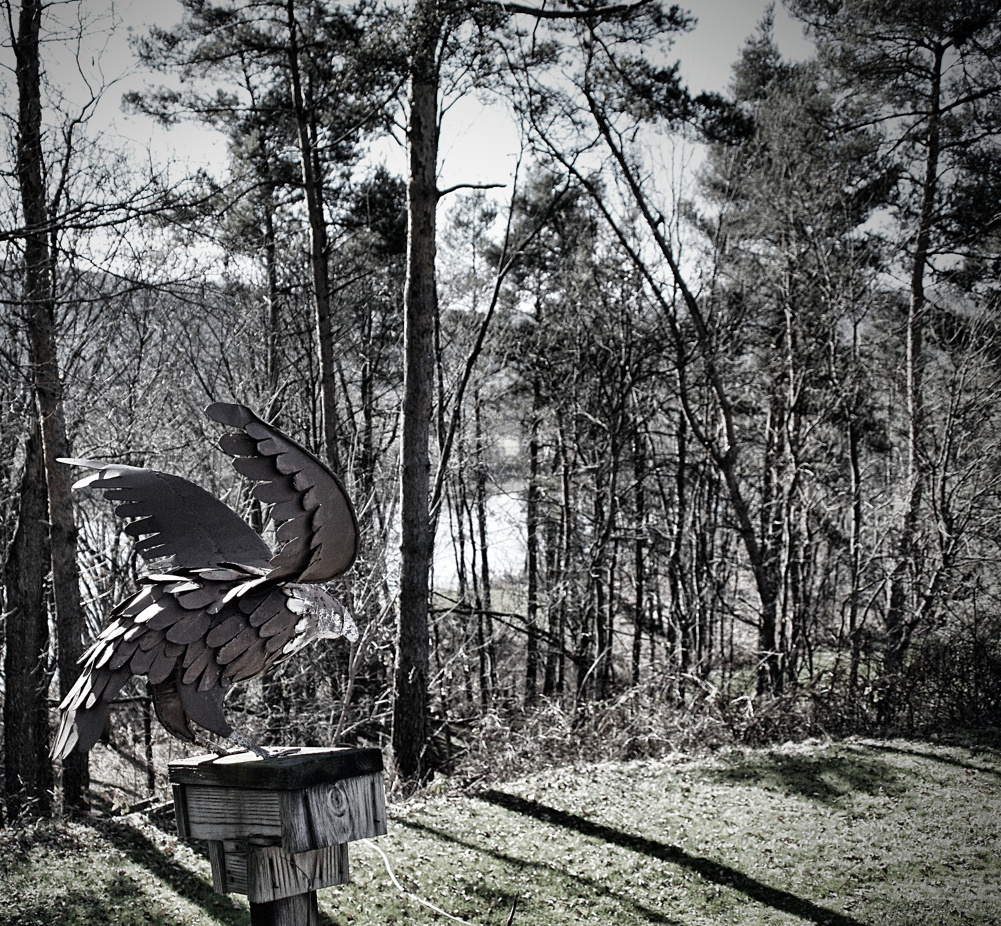
Iron Eagle

Black-crowned Night-Heron

Great Egret

Great Egret

Black-crowned Night-Heron

CP 253
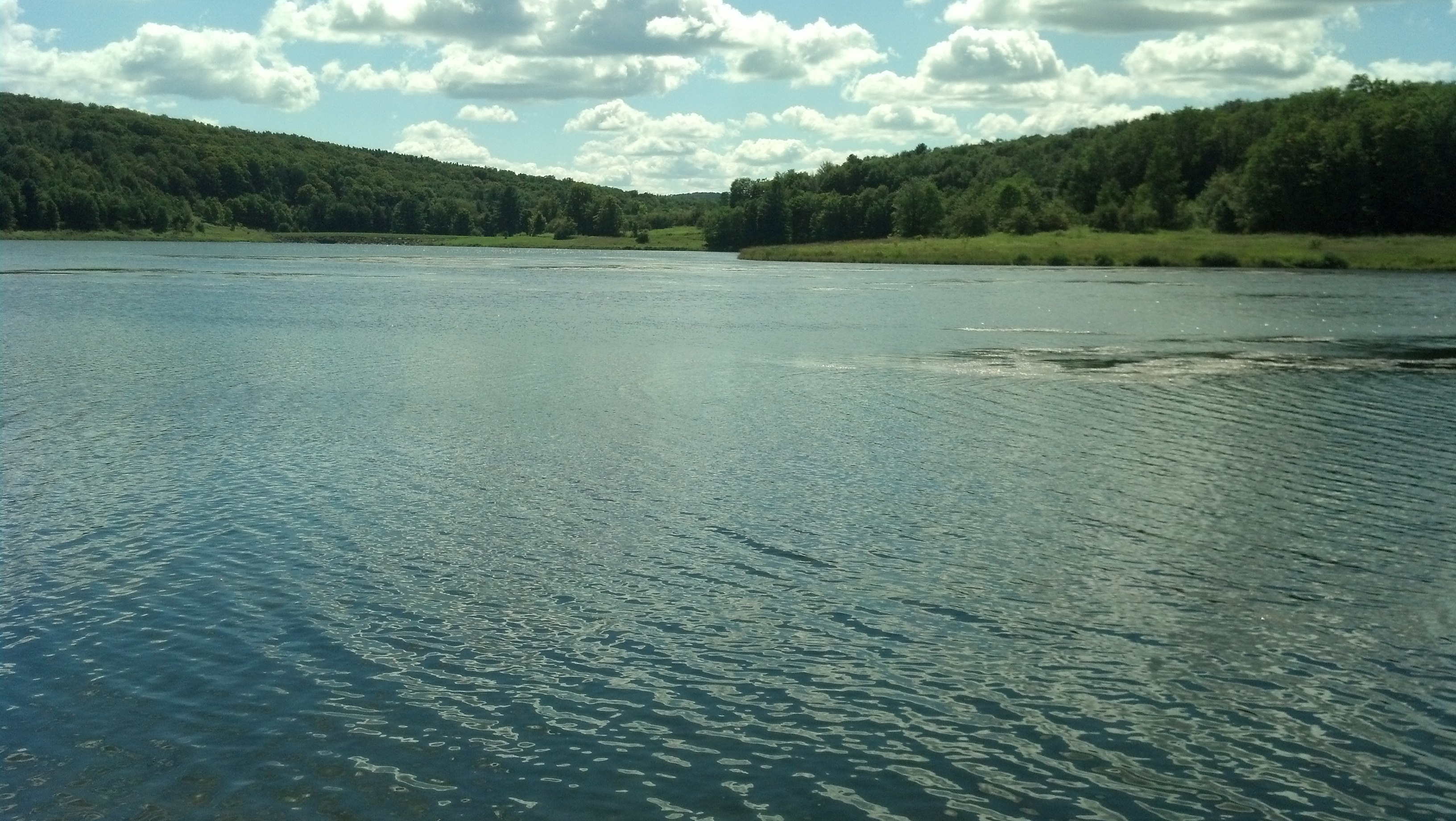
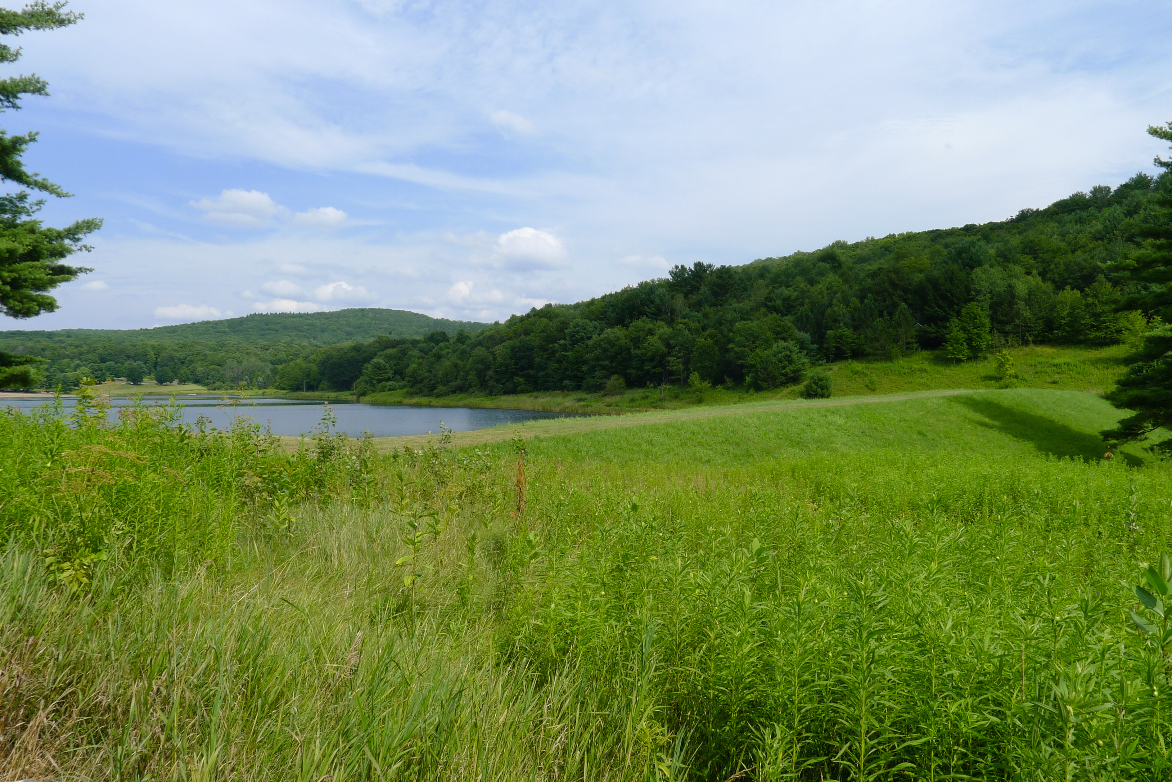
Arctic Lake

Meadow Fritillary
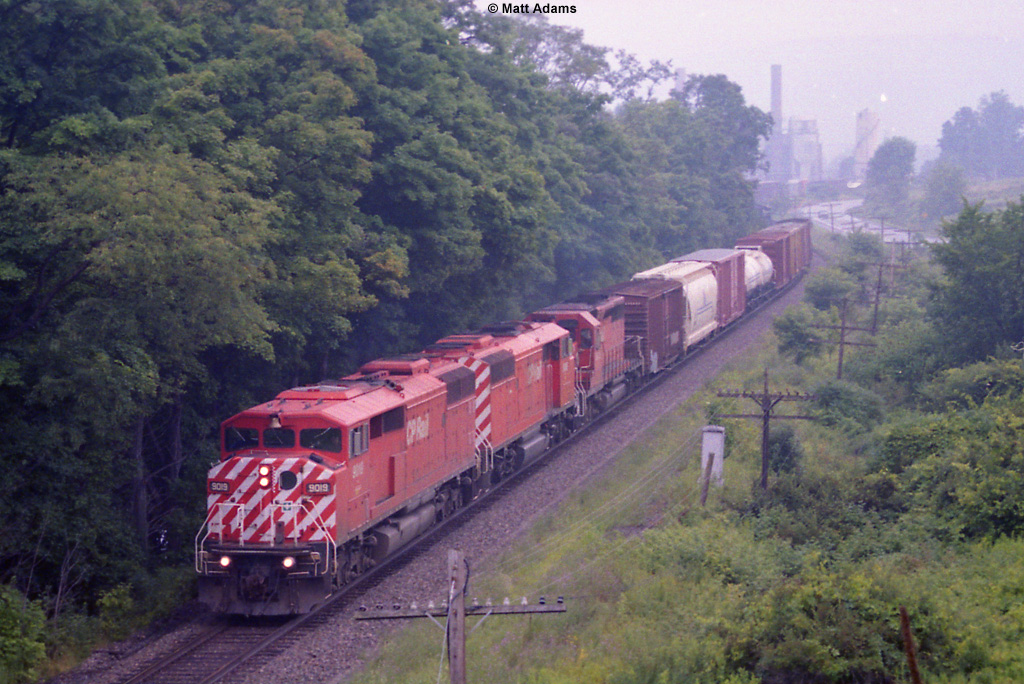
CP 253
earthen dam
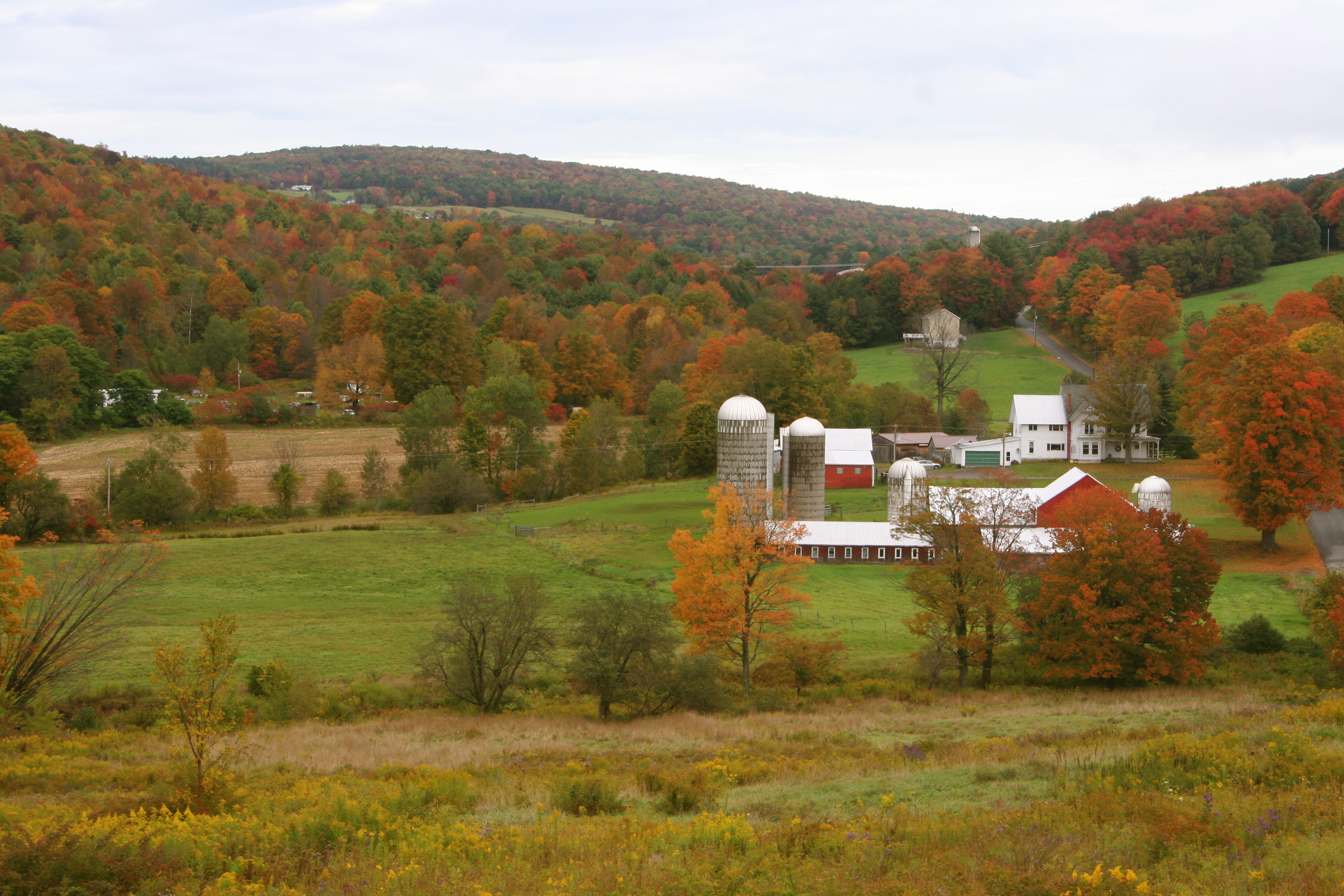
Fall Farm

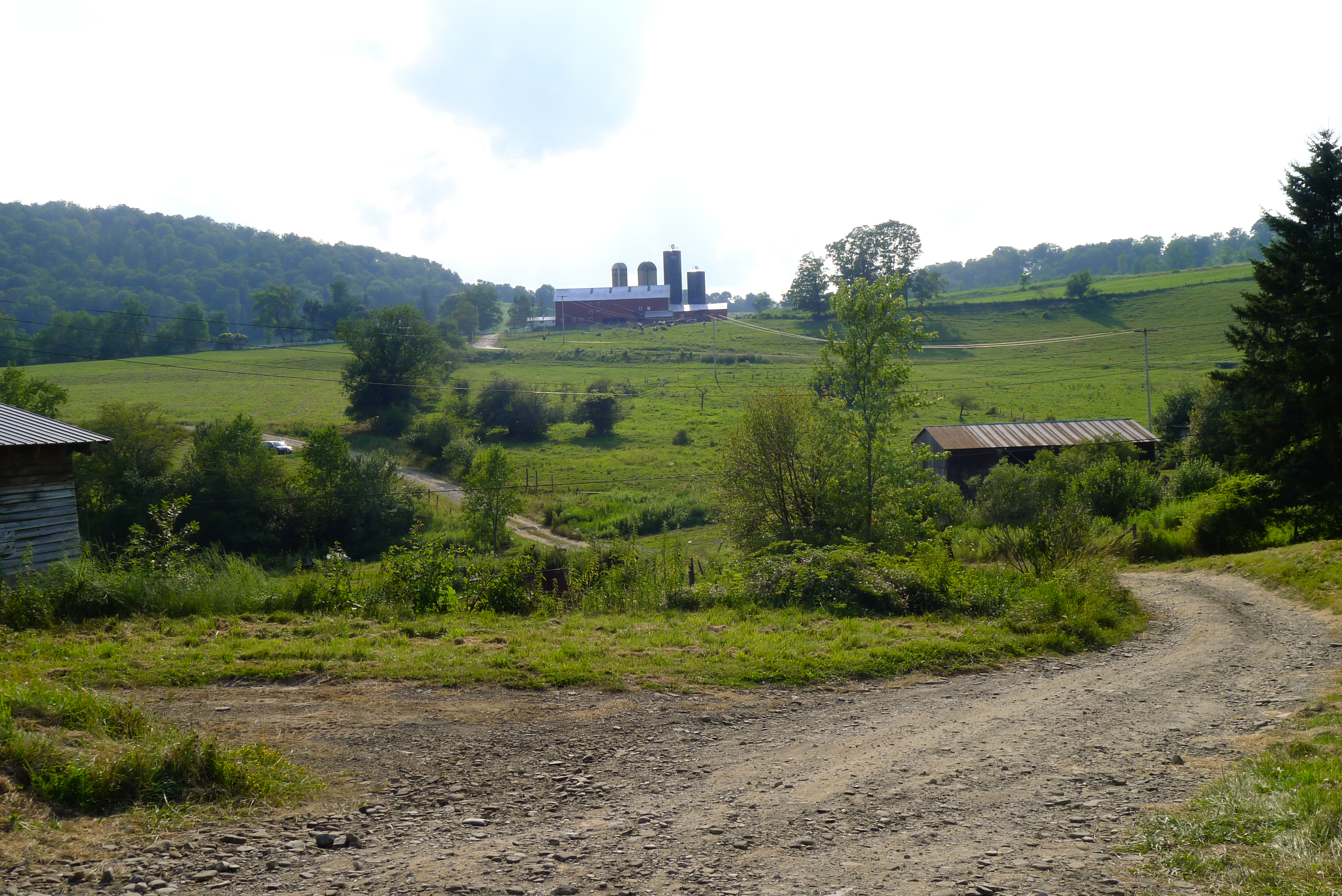
cows dig bluegrass... and pretty much any other kind of grass

Fallen Tree
Dave's driveway

IMGP1895.JPG
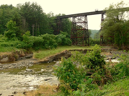
July 2006 Railroad Trestle

Fishing party

The Glen

da beach

Driving Interstate 88
Topographic Map of Lingee Rd, Afton, NY, USA
Find elevation by address:

Places near Lingee Rd, Afton, NY, USA:
Afton
977 County Rd 39
983 County Rd 39
Afton
Bainbridge
1 N Main St, Bainbridge, NY, USA
60 W Main St
76 N Main St
Bainbridge
NY-41, Afton, NY, USA
2851 Ny-7
Masonville
153 Case Rd
191 Delaware Ave
County Road 17
52 Union St
261 Beebe Rd
30 W Main St
58 Main St, Sidney, NY, USA
Sidney
Recent Searches:
- Elevation of Jalan Senandin, Lutong, Miri, Sarawak, Malaysia
- Elevation of Bilohirs'k
- Elevation of 30 Oak Lawn Dr, Barkhamsted, CT, USA
- Elevation of Luther Road, Luther Rd, Auburn, CA, USA
- Elevation of Unnamed Road, Respublika Severnaya Osetiya — Alaniya, Russia
- Elevation of Verkhny Fiagdon, North Ossetia–Alania Republic, Russia
- Elevation of F. Viola Hiway, San Rafael, Bulacan, Philippines
- Elevation of Herbage Dr, Gulfport, MS, USA
- Elevation of Lilac Cir, Haldimand, ON N3W 2G9, Canada
- Elevation of Harrod Branch Road, Harrod Branch Rd, Kentucky, USA