Elevation of County Road 17, County Rd 17, Bainbridge, NY, USA
Location: United States > New York > Chenango County > Bainbridge > Bainbridge >
Longitude: -75.541400
Latitude: 42.3006111
Elevation: 420m / 1378feet
Barometric Pressure: 96KPa
Elevation Map:
Satellite Map:
Related Photos:

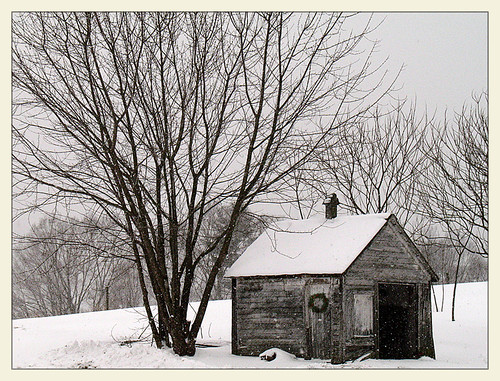
Bald Eagle
Longer Days Ahead

Morning on the Hill
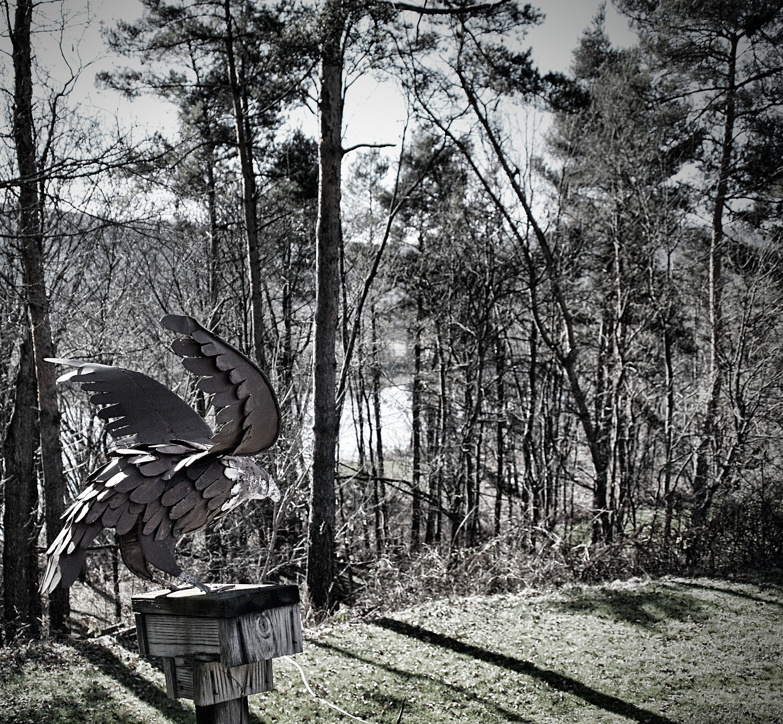
Iron Eagle
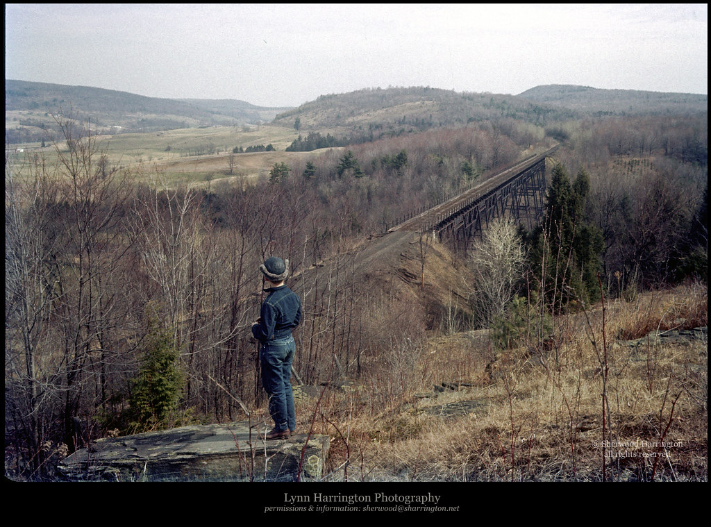
Lyon Brook Trestle, April 1959

Great Egret

Black-crowned Night-Heron

Great Egret

Two Friends, Again
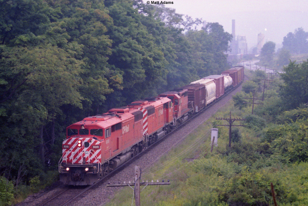
CP 253

Mt Upton Sunset

CP 253

Howdy Tex!

Mt Upton Sunset
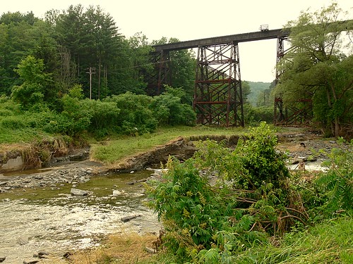
July 2006 Railroad Trestle

The Glen
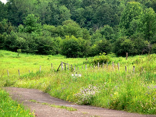
Morning Meadow
IMGP1878.JPG

Stretched Light #sunrise
Topographic Map of County Road 17, County Rd 17, Bainbridge, NY, USA
Find elevation by address:

Places near County Road 17, County Rd 17, Bainbridge, NY, USA:
NY-41, Afton, NY, USA
153 Case Rd
261 Beebe Rd
314 Tracy Rd
60 W Main St
Bainbridge
1 N Main St, Bainbridge, NY, USA
76 N Main St
Afton
983 County Rd 39
977 County Rd 39
Afton
Bainbridge
123 K Parker
315 Hohreiter Rd
2851 Ny-7
106 Lingee Rd
191 Delaware Ave
335 Valley View Rd
52 Union St
Recent Searches:
- Elevation of Kreuzburger Weg 13, Düsseldorf, Germany
- Elevation of Gateway Blvd SE, Canton, OH, USA
- Elevation of East W.T. Harris Boulevard, E W.T. Harris Blvd, Charlotte, NC, USA
- Elevation of West Sugar Creek, Charlotte, NC, USA
- Elevation of Wayland, NY, USA
- Elevation of Steadfast Ct, Daphne, AL, USA
- Elevation of Lagasgasan, X+CQH, Tiaong, Quezon, Philippines
- Elevation of Rojo Ct, Atascadero, CA, USA
- Elevation of Flagstaff Drive, Flagstaff Dr, North Carolina, USA
- Elevation of Avery Ln, Lakeland, FL, USA