Elevation of Bagrakot Tea Garden, West Bengal, India
Location: India > West Bengal > Jalpaiguri >
Longitude: 88.5806876
Latitude: 26.8780545
Elevation: 183m / 600feet
Barometric Pressure: 99KPa
Elevation Map:
Satellite Map:
Related Photos:

CSP_4156.JPG

CSP_4155.JPG

CSP_4154.JPG

Darjeeling, West Bengal

Manabari, West Bengal

CSP_4157.JPG

CSP_4153.JPG

CSP_4158.JPG

Mangpong Forest, West Bengal

Mangpong Forest, West Bengal

CSP_3983.JPG

CSP_3982.JPG

Mangpong Forest, West Bengal

Yang Makum Khasmahal, West Bengal

Yang Makum Khasmahal, West Bengal

Mangpong Forest, West Bengal

Yang Makum Khasmahal, West Bengal

CSP_3981.JPG

CSP_3986.JPG

CSP_3991.JPG

CSP_3992.JPG

Nepal-India-4317

CSP_3988.JPG

Let the mountains talk, let the river run. Once more, and forever.

Dooars from Train

The Coronation Bridge...

Bridge over Teesta
On the highway from West Bengal to Sikkim

En route to Gangtok, Sikkim from Siliguri, West Bengal

Bhutan Cycling

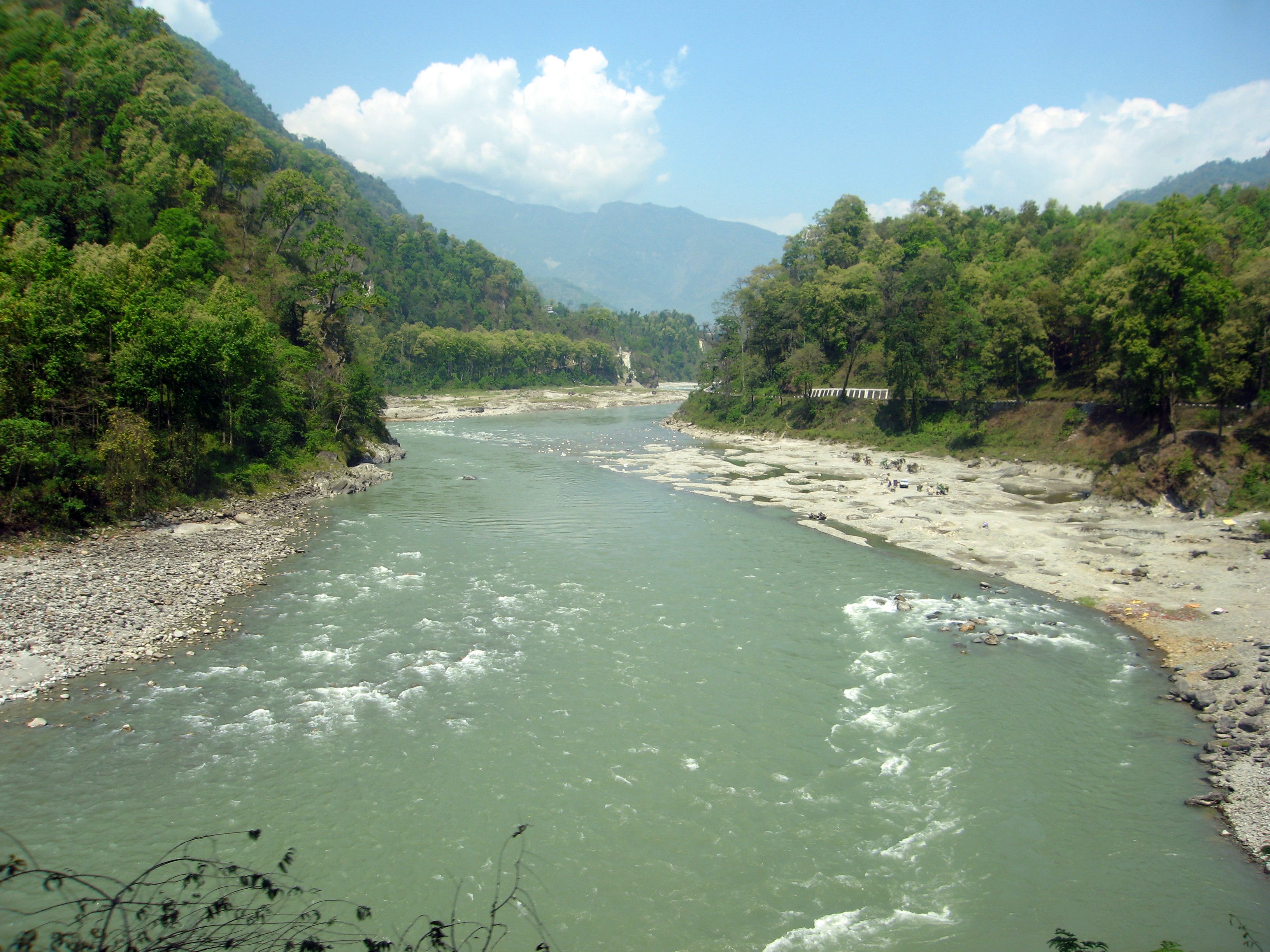
A glimpse of the river from sevok bridge
Topographic Map of Bagrakot Tea Garden, West Bengal, India
Find elevation by address:

Places near Bagrakot Tea Garden, West Bengal, India:
Bagrakote Tea Garden
Bagrakot
Chunabhati Bazar D.i.f.
Leesh River Tea Garden
Washabari Tea Garden
Nya Sylee Tea Estate
Yang Makum Khasmahal
Saraswatipur Tea Estate
Latpanchar
Bong Gramin Bazaar
Kalimpong
Jhandi Eco Hut
Yaksha Holiday Homes
Sittong
Sittong,the Orange Valley
Sittong Khasmahal
Darjeeling
Deolo Tourist Lodge
Delo Park
Government Cinchona Plantation Nursery
Recent Searches:
- Elevation of 6 Rue Jules Ferry, Beausoleil, France
- Elevation of Sattva Horizon, 4JC6+G9P, Vinayak Nagar, Kattigenahalli, Bengaluru, Karnataka, India
- Elevation of Great Brook Sports, Gold Star Hwy, Groton, CT, USA
- Elevation of 10 Mountain Laurels Dr, Nashua, NH, USA
- Elevation of 16 Gilboa Ln, Nashua, NH, USA
- Elevation of Laurel Rd, Townsend, TN, USA
- Elevation of 3 Nestling Wood Dr, Long Valley, NJ, USA
- Elevation of Ilungu, Tanzania
- Elevation of Yellow Springs Road, Yellow Springs Rd, Chester Springs, PA, USA
- Elevation of Rēzekne Municipality, Latvia