Elevation of NH 31, Bagrakot Tea Garden, West Bengal, India
Location: India > West Bengal > Jalpaiguri >
Longitude: 88.5856055
Latitude: 26.8703481
Elevation: 172m / 564feet
Barometric Pressure: 99KPa
Elevation Map:
Satellite Map:
Related Photos:

CSP_4158.JPG
Manabari, West Bengal
CSP_4155.JPG

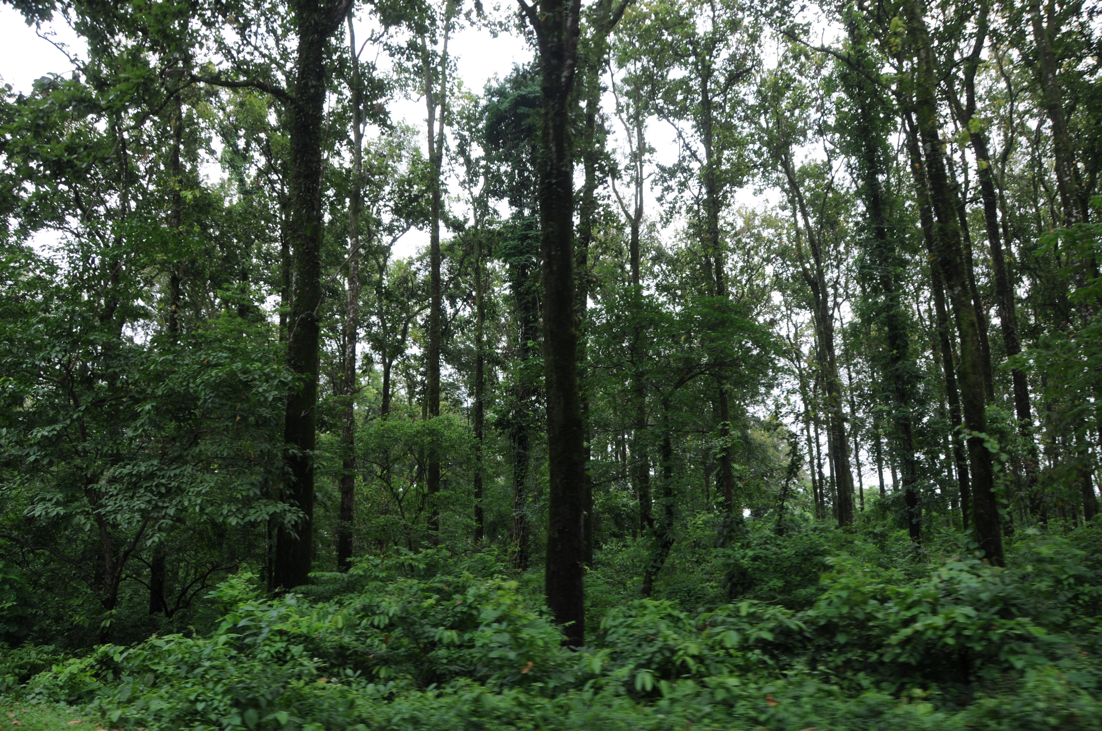
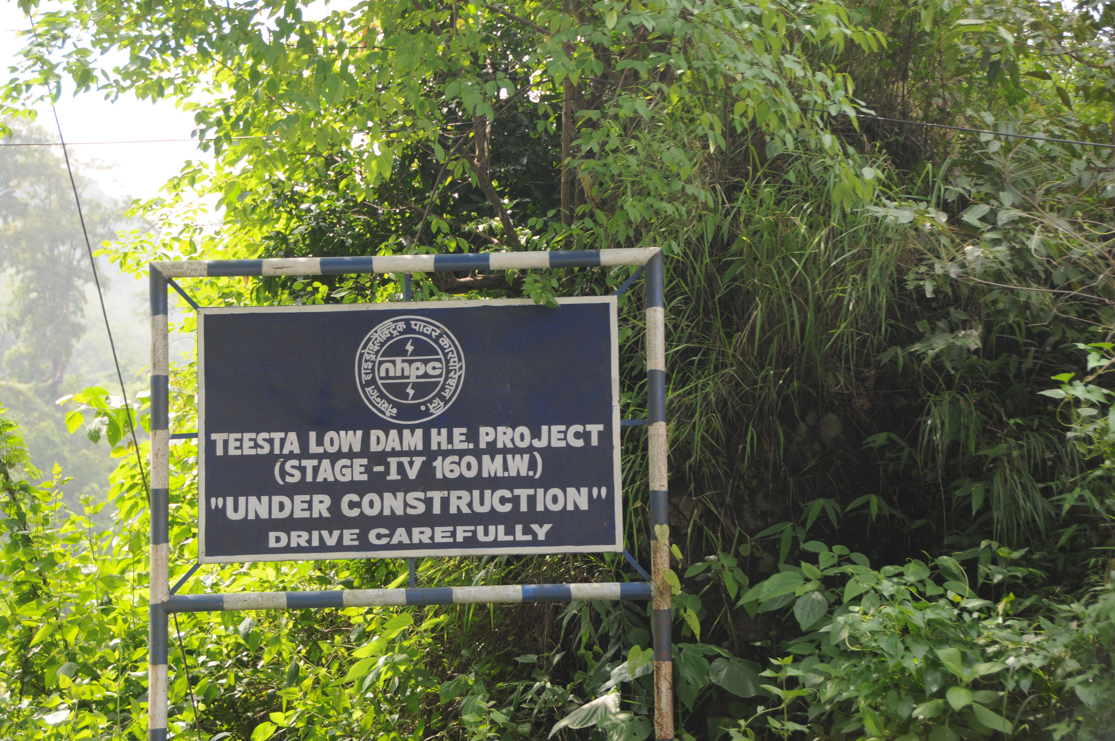
Mangpong Forest, West Bengal
Yang Makum Khasmahal, West Bengal
CSP_3982.JPG

Mangpong Forest, West Bengal

CSP_4157.JPG
Mangpong Forest, West Bengal
Yang Makum Khasmahal, West Bengal
CSP_3984.JPG

CSP_3988.JPG
CSP_3983.JPG
CSP_3981.JPG
CSP_3987.JPG
CSP_4153.JPG

CSP_3991.JPG
CSP_3986.JPG

Darjeeling, West Bengal

Nepal-India-4317

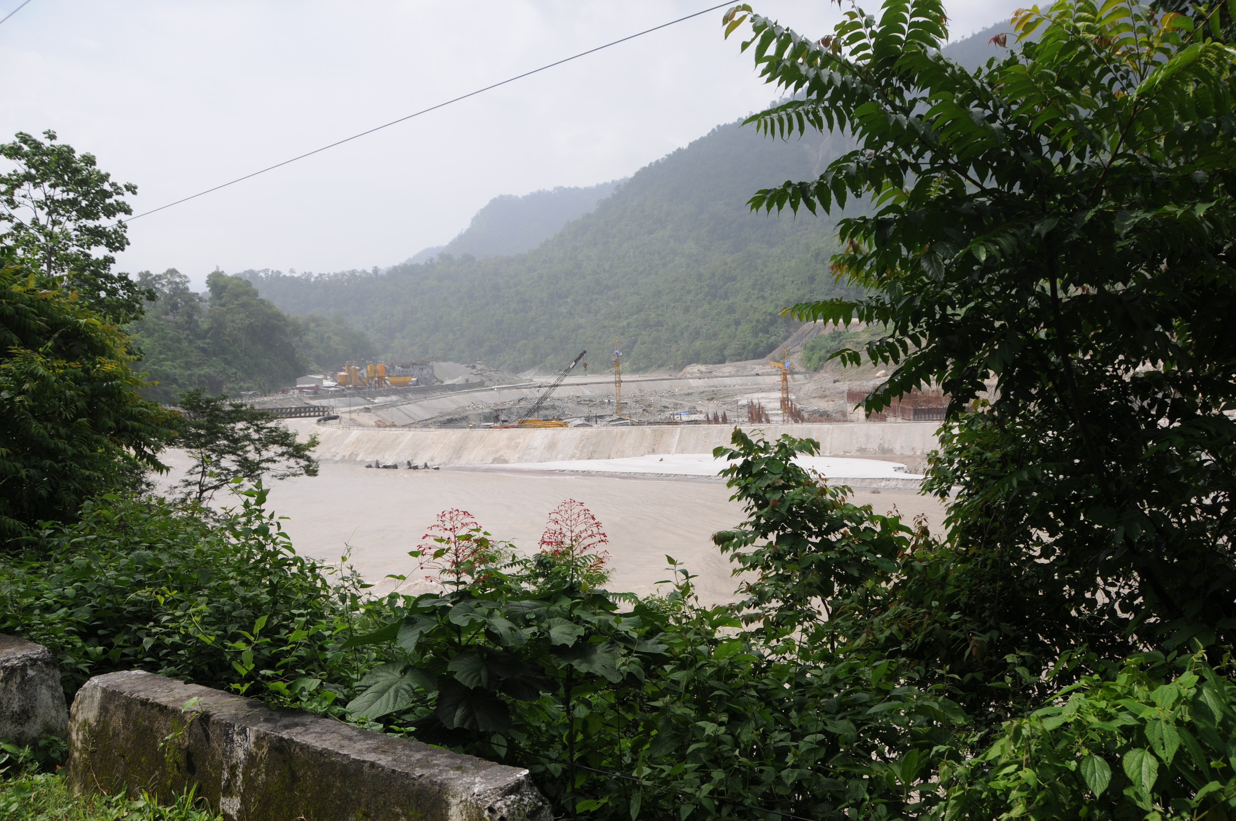
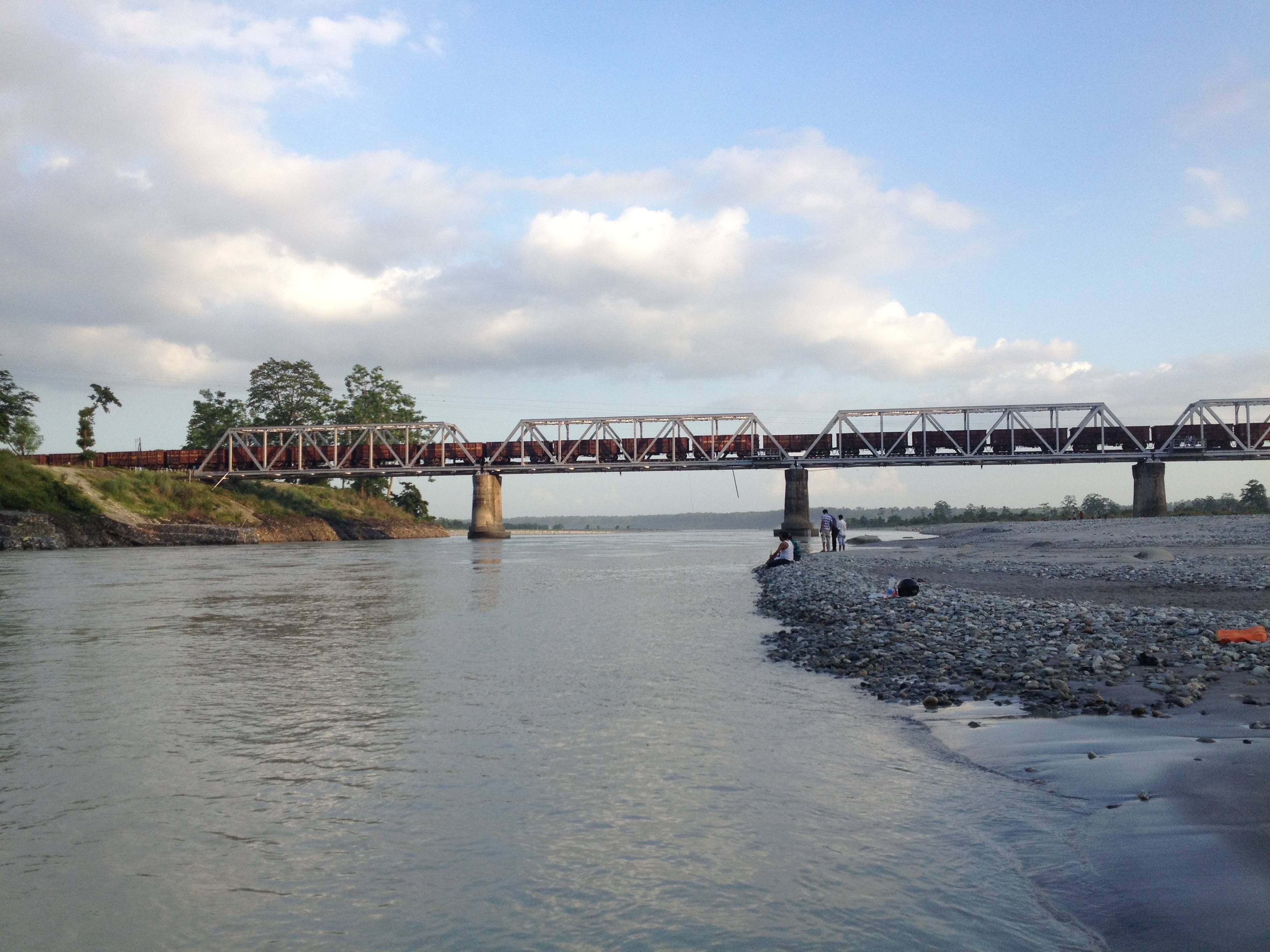
The Coronation Bridge...

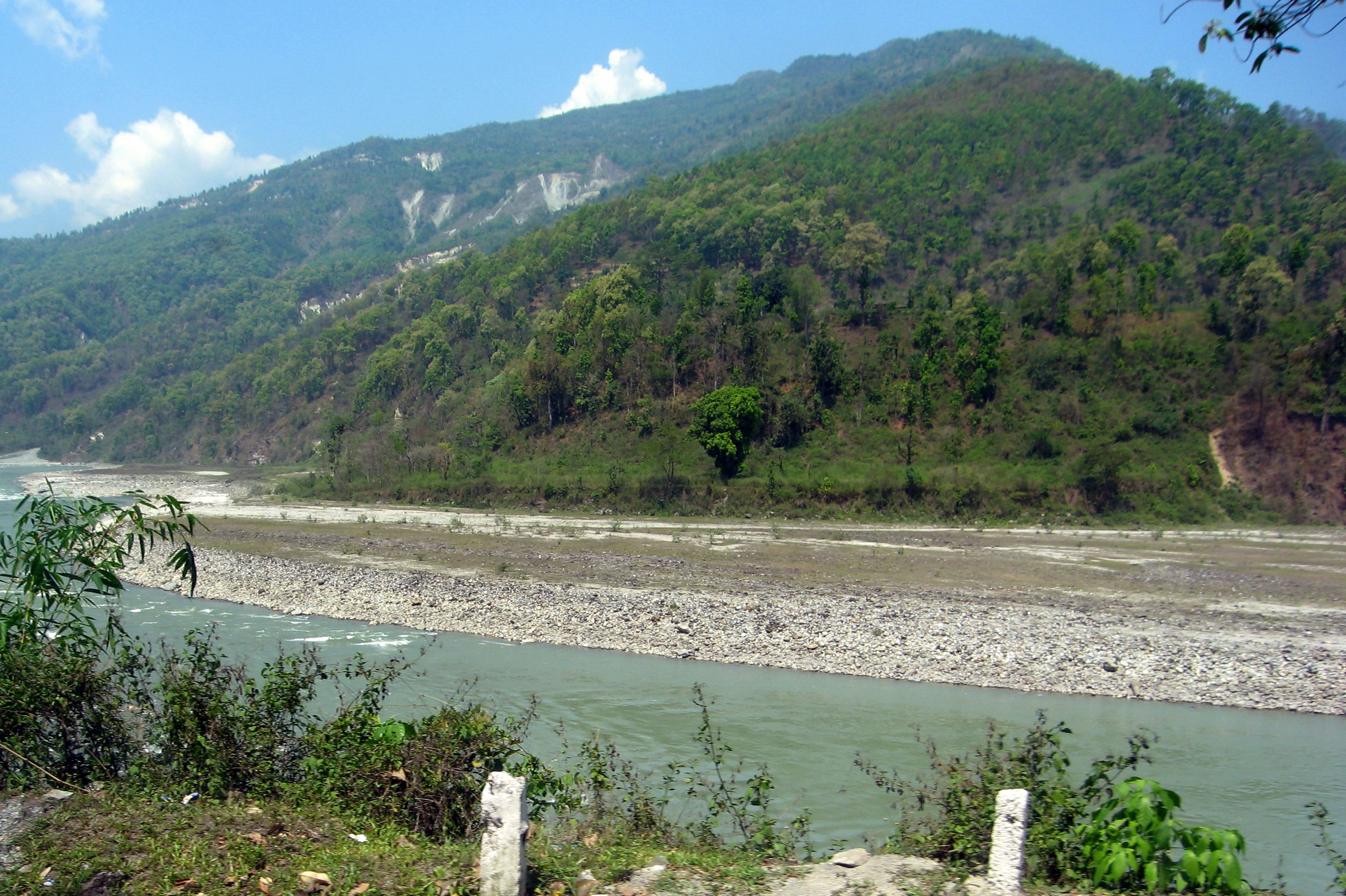
Mangpong Forest, West Bengal

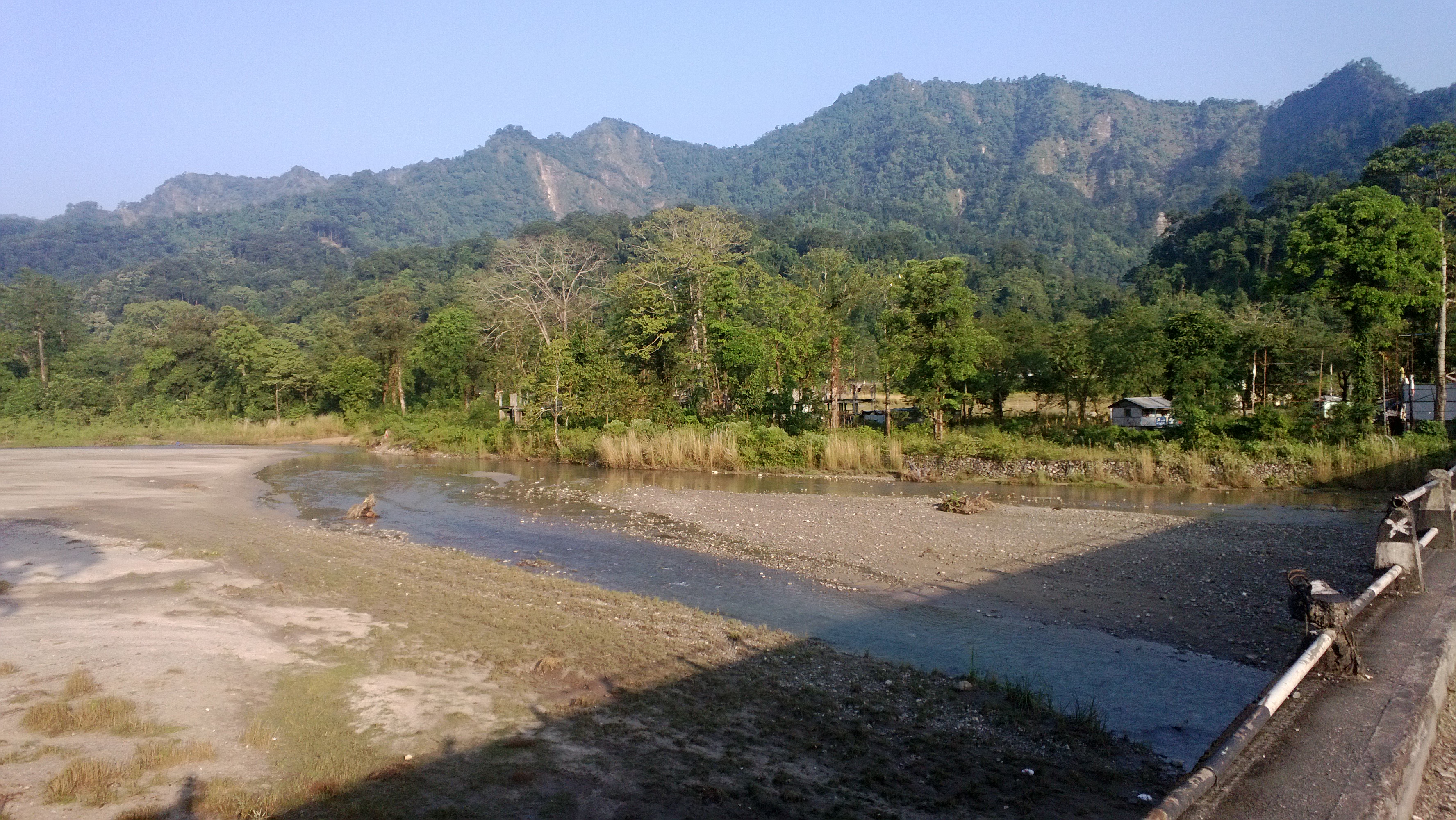
Dooars from Train
En route to Gangtok, Sikkim from Siliguri, West Bengal

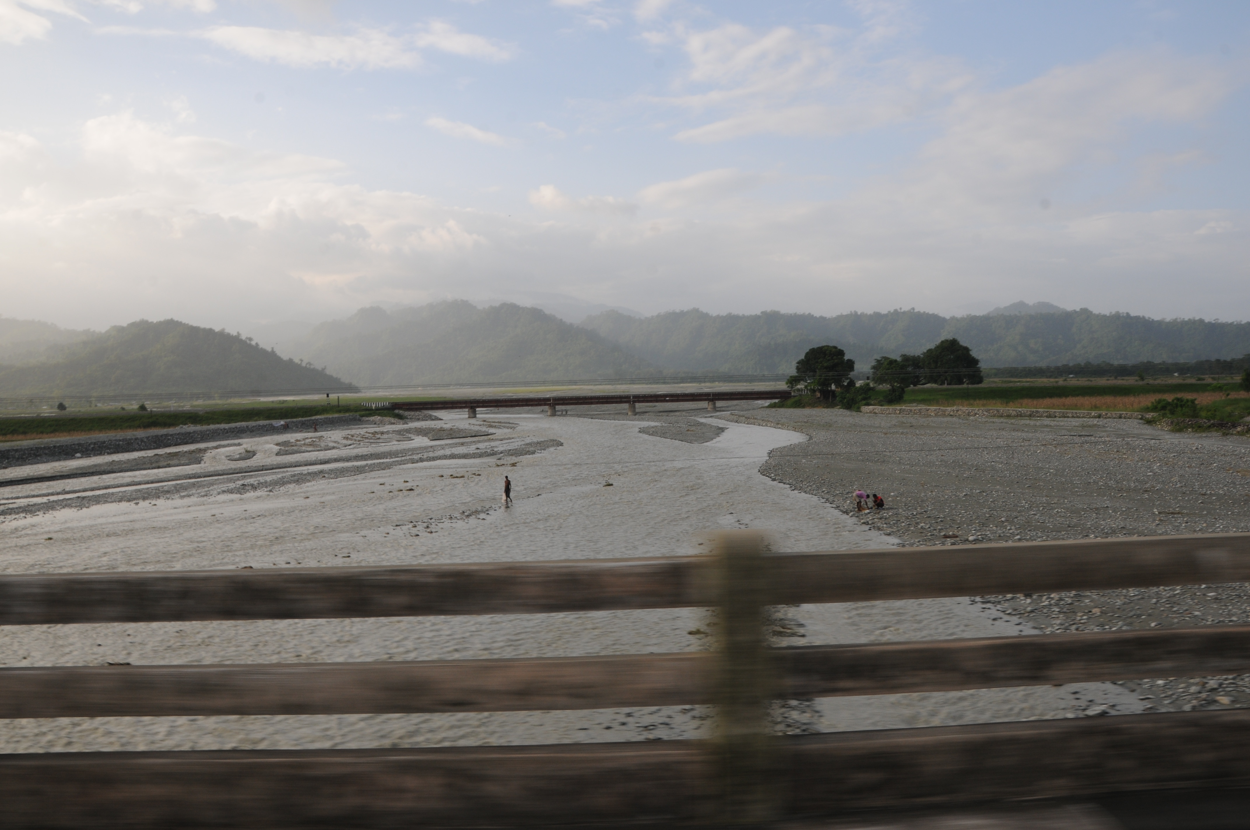
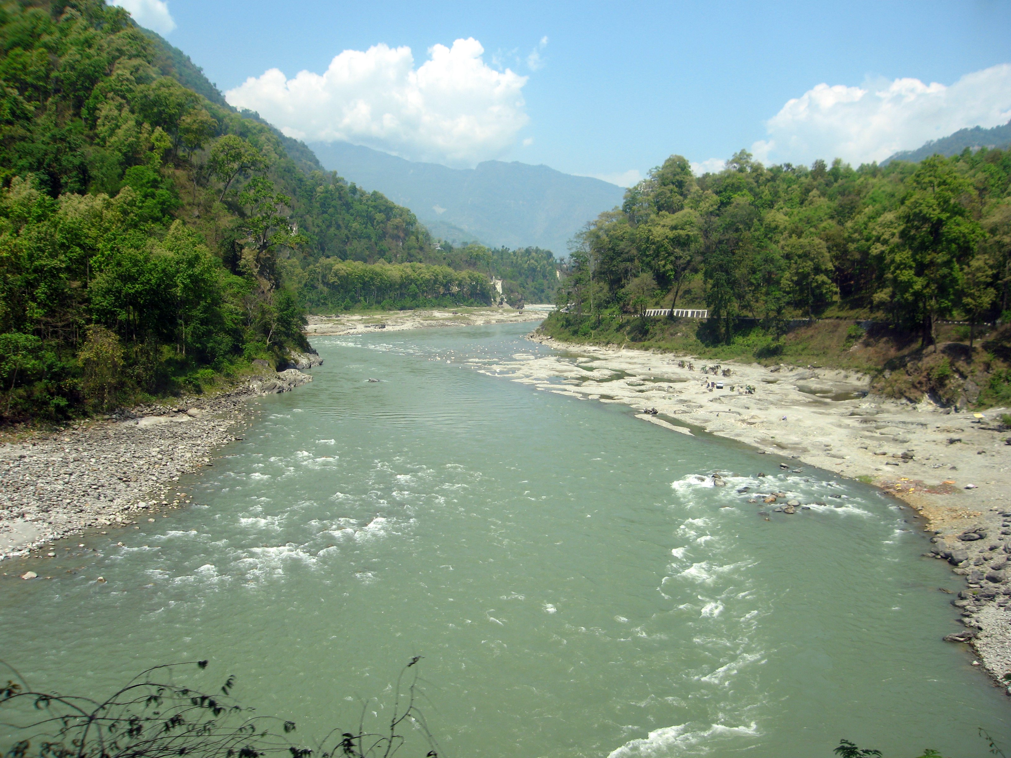
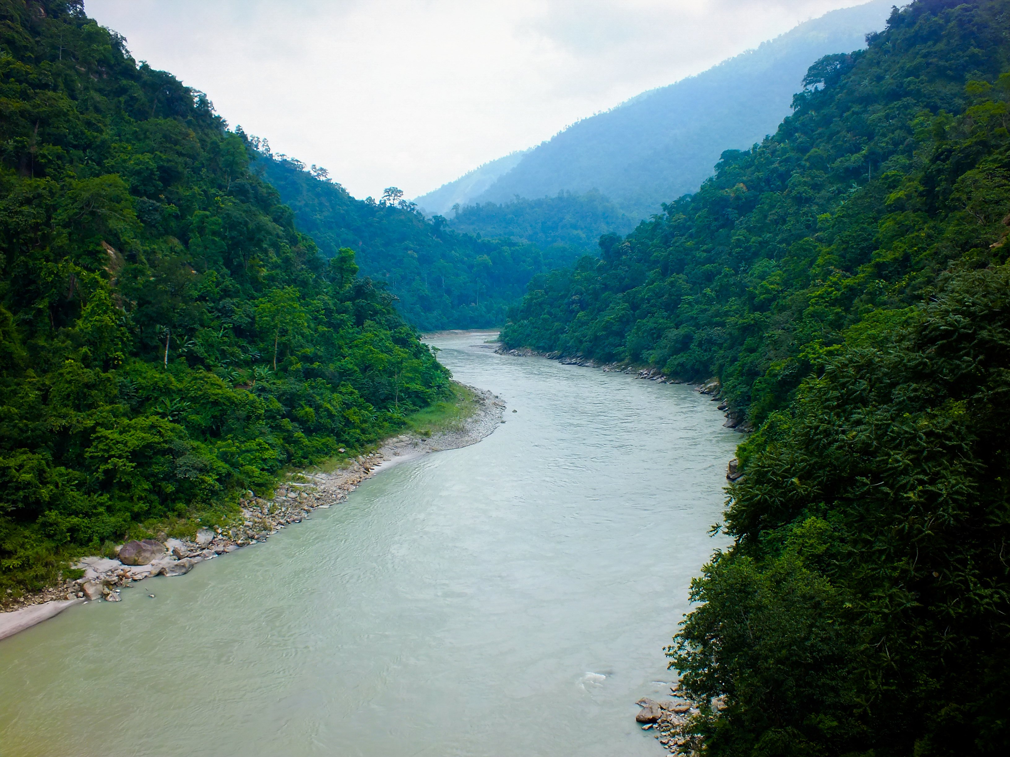
A glimpse of the river from sevok bridge
Bridge over Teesta
On the highway from West Bengal to Sikkim
Bhutan Cycling
Let the mountains talk, let the river run. Once more, and forever.
Topographic Map of NH 31, Bagrakot Tea Garden, West Bengal, India
Find elevation by address:

Places near NH 31, Bagrakot Tea Garden, West Bengal, India:
Bagrakot Tea Garden
Bagrakote Tea Garden
Leesh River Tea Garden
Chunabhati Bazar D.i.f.
Washabari Tea Garden
Nya Sylee Tea Estate
Yang Makum Khasmahal
Saraswatipur Tea Estate
Latpanchar
Bong Gramin Bazaar
Yaksha Holiday Homes
Kalimpong
Jhandi Eco Hut
Sittong
Sittong,the Orange Valley
Sittong Khasmahal
Darjeeling
Government Cinchona Plantation Nursery
Deolo Tourist Lodge
Delo Park
Recent Searches:
- Elevation of Rojo Ct, Atascadero, CA, USA
- Elevation of Flagstaff Drive, Flagstaff Dr, North Carolina, USA
- Elevation of Avery Ln, Lakeland, FL, USA
- Elevation of Woolwine, VA, USA
- Elevation of Lumagwas Diversified Farmers Multi-Purpose Cooperative, Lumagwas, Adtuyon, RV32+MH7, Pangantucan, Bukidnon, Philippines
- Elevation of Homestead Ridge, New Braunfels, TX, USA
- Elevation of Orchard Road, Orchard Rd, Marlborough, NY, USA
- Elevation of 12 Hutchinson Woods Dr, Fletcher, NC, USA
- Elevation of Holloway Ave, San Francisco, CA, USA
- Elevation of Norfolk, NY, USA