Elevation of Nya Sylee Director's Bungalow Nya Sylee Tea Estate, Nagrakata, West Bengal, India
Location: India > West Bengal > Darjeeling >
Longitude: 88.5659036
Latitude: 26.9095373
Elevation: 543m / 1781feet
Barometric Pressure: 95KPa
Elevation Map:
Satellite Map:
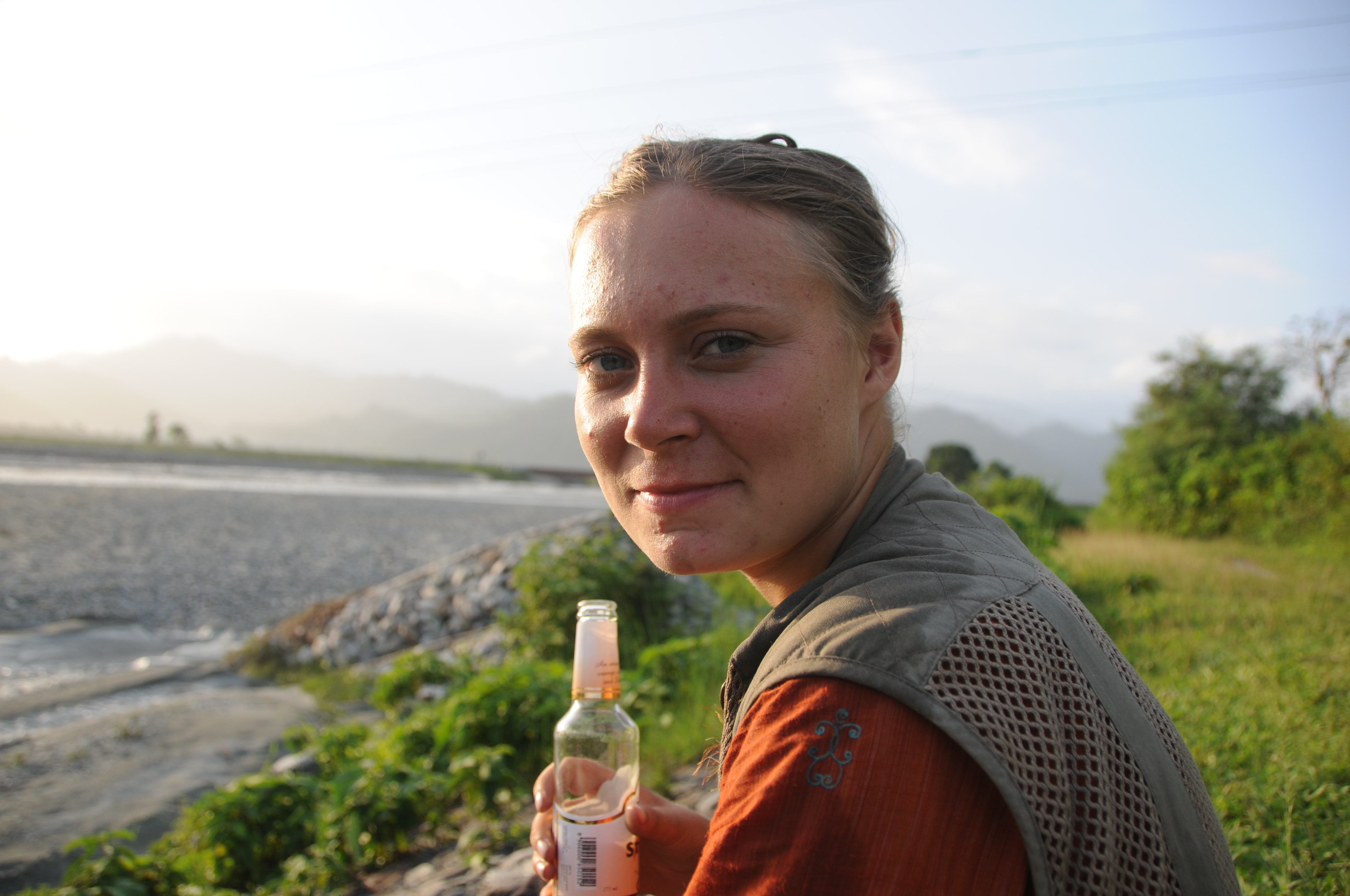
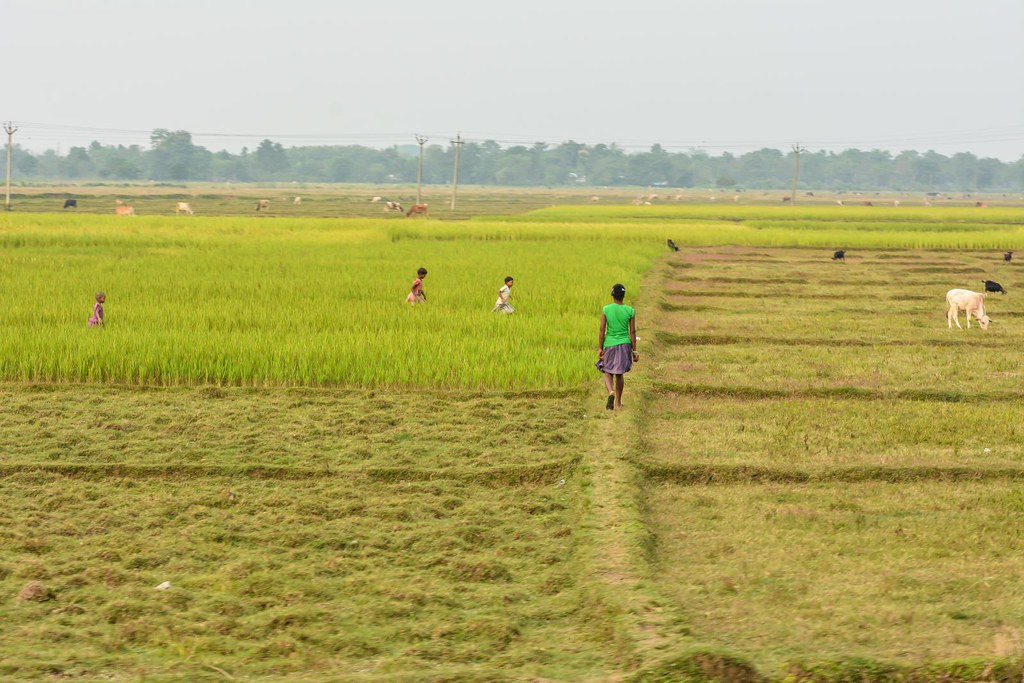
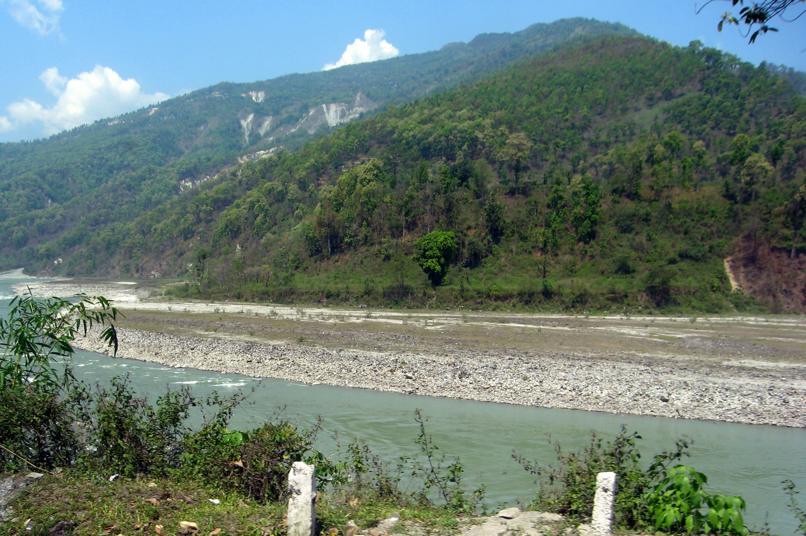
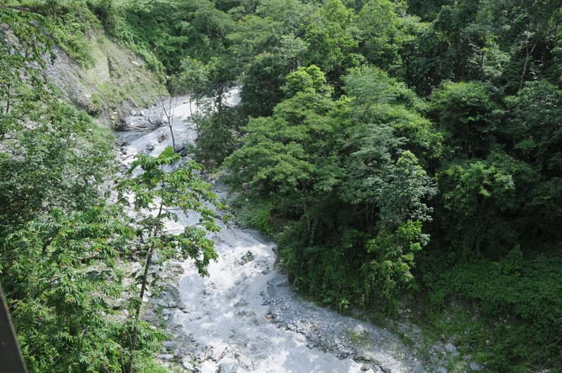
Related Photos:
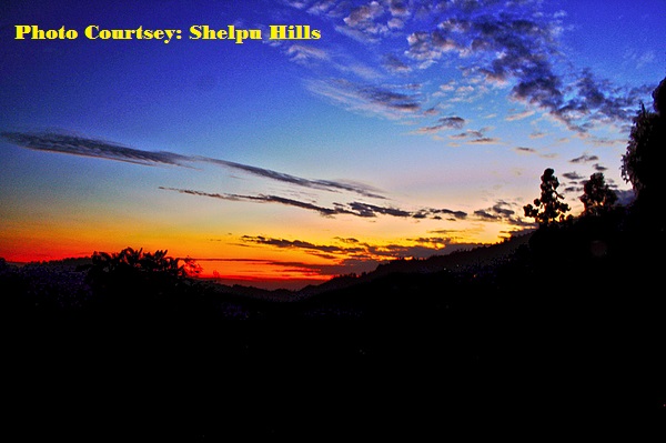
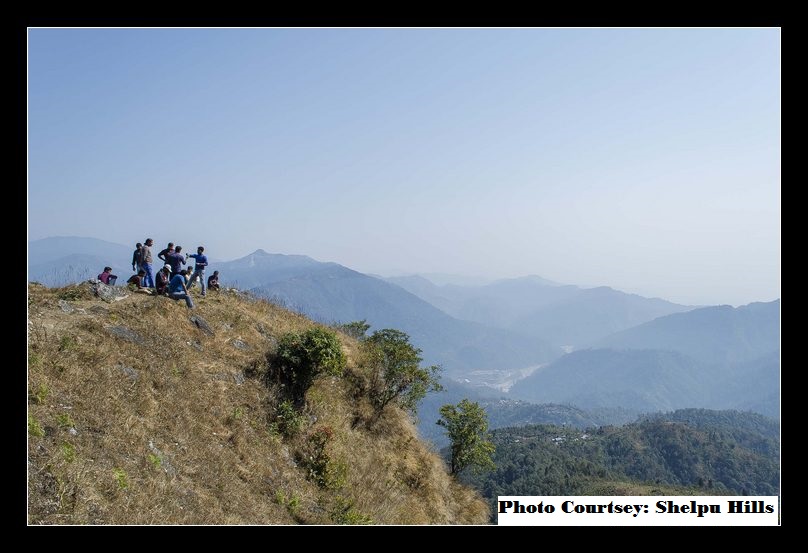
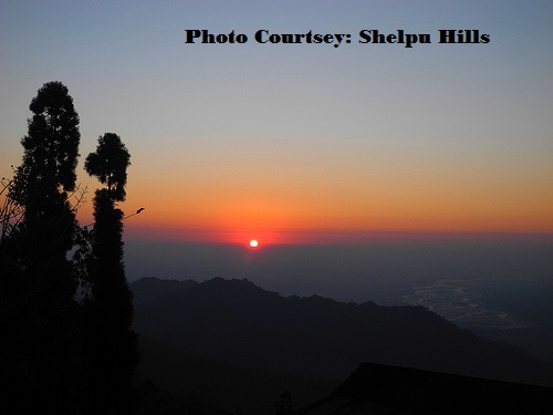
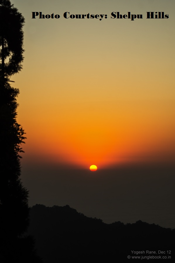
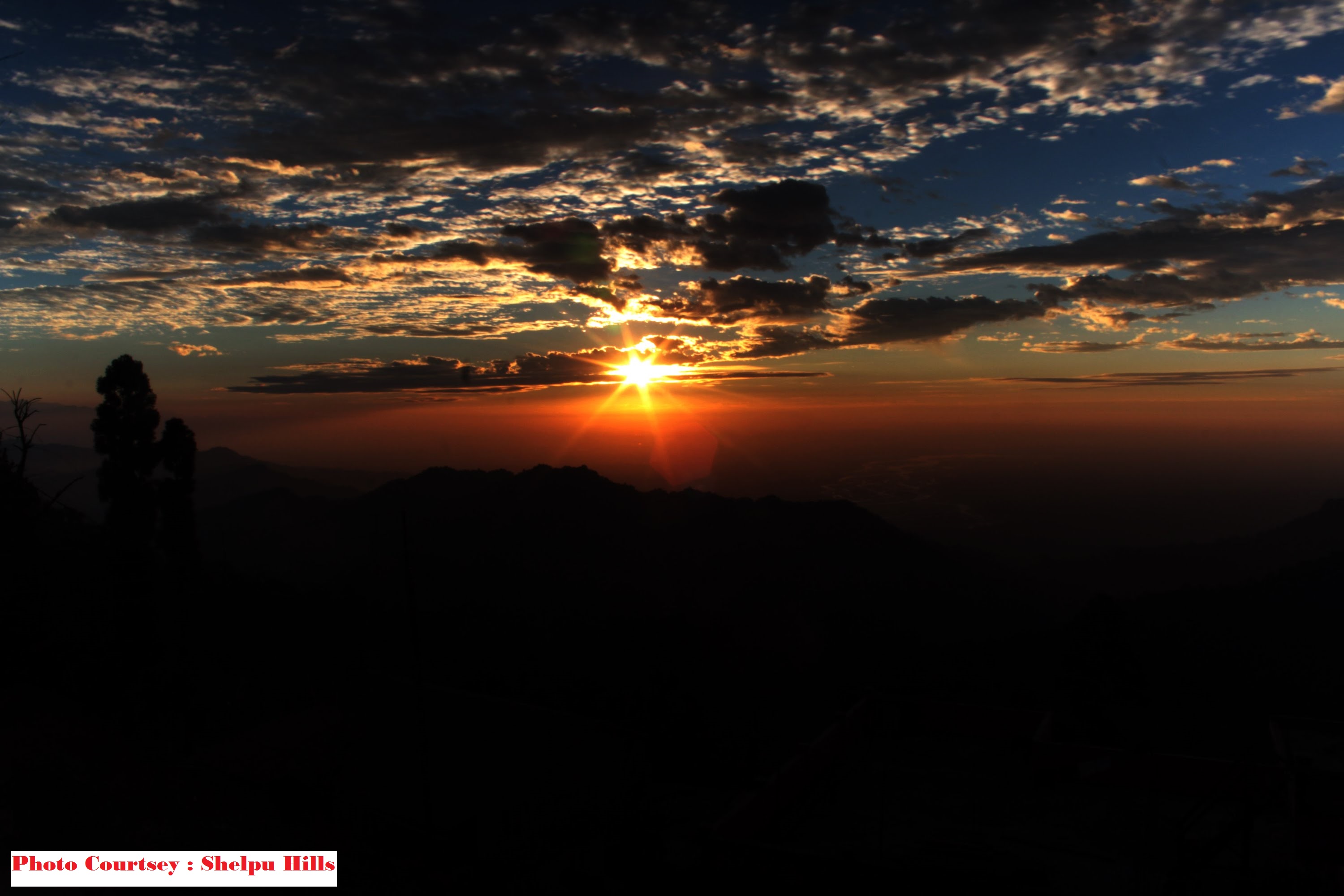
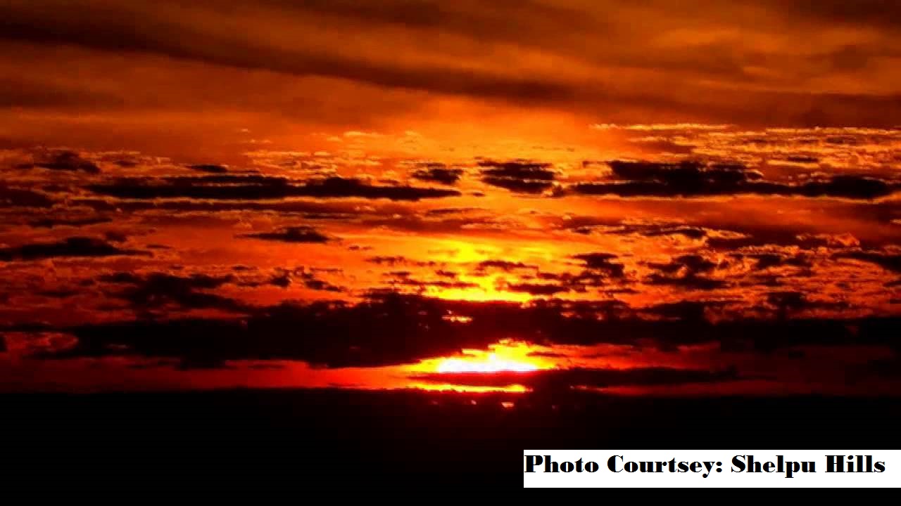
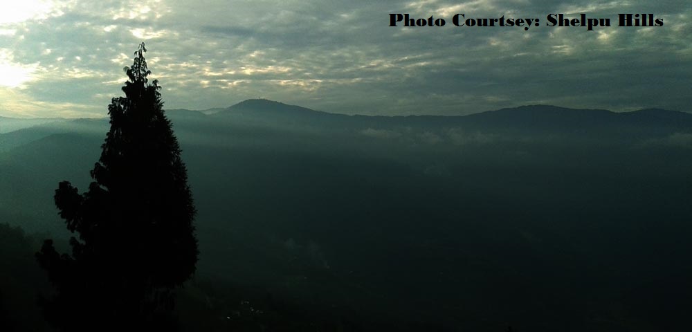
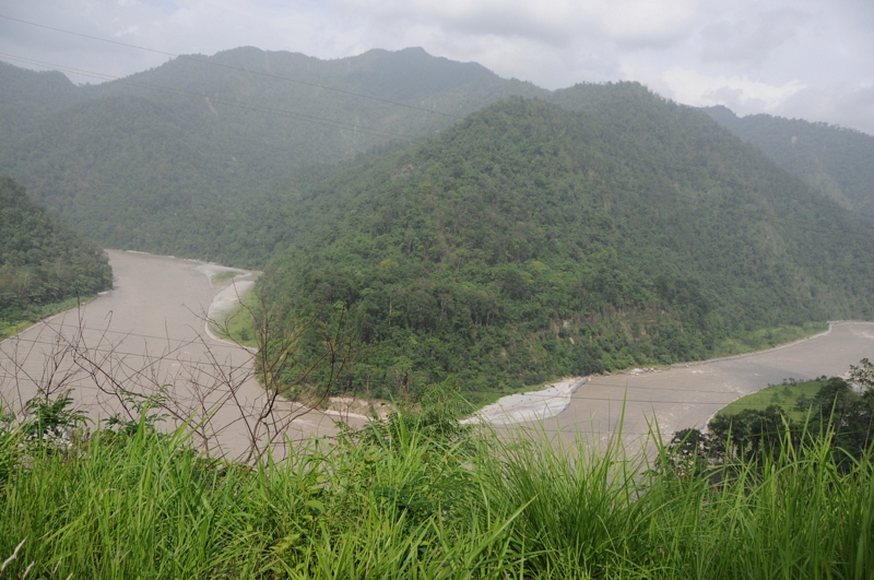
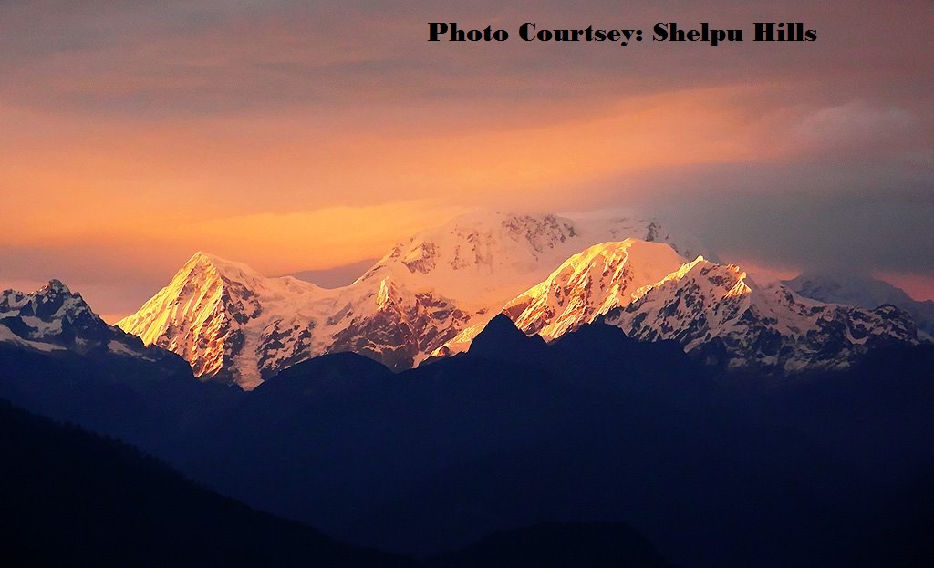
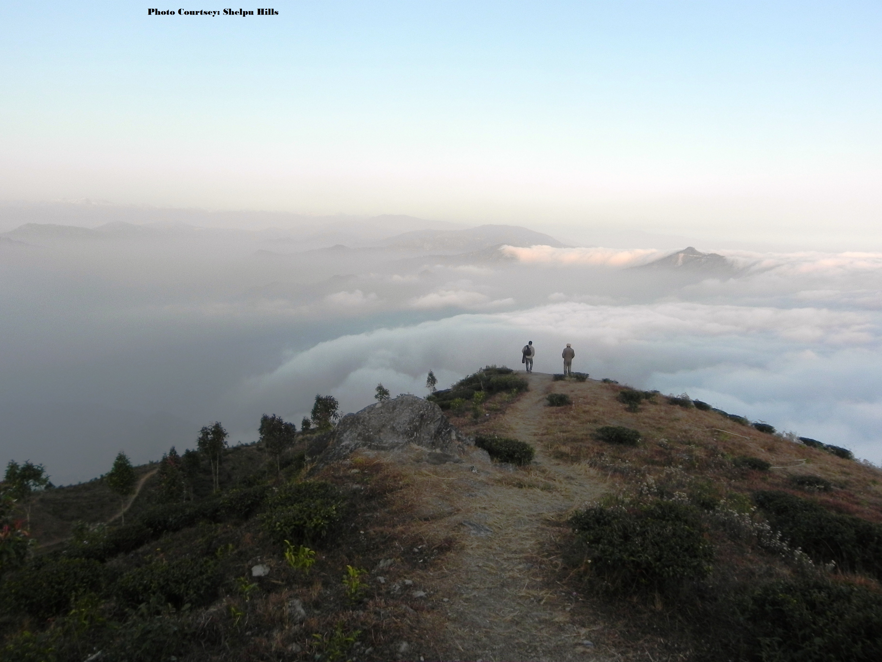
Aahal view point, Shelpu
Aahal view point, Shelpu
Aahal view point, Shelpu
Aahal view point, Shelpu
Aahal view point, Shelpu
Aahal view point, Shelpu
Aahal view point, Shelpu
CSP_4156.JPG

CSP_3994.JPG
Suruk Khasmahal, West Bengal
Aahal view point, Shelpu

Aahal view point, Shelpu

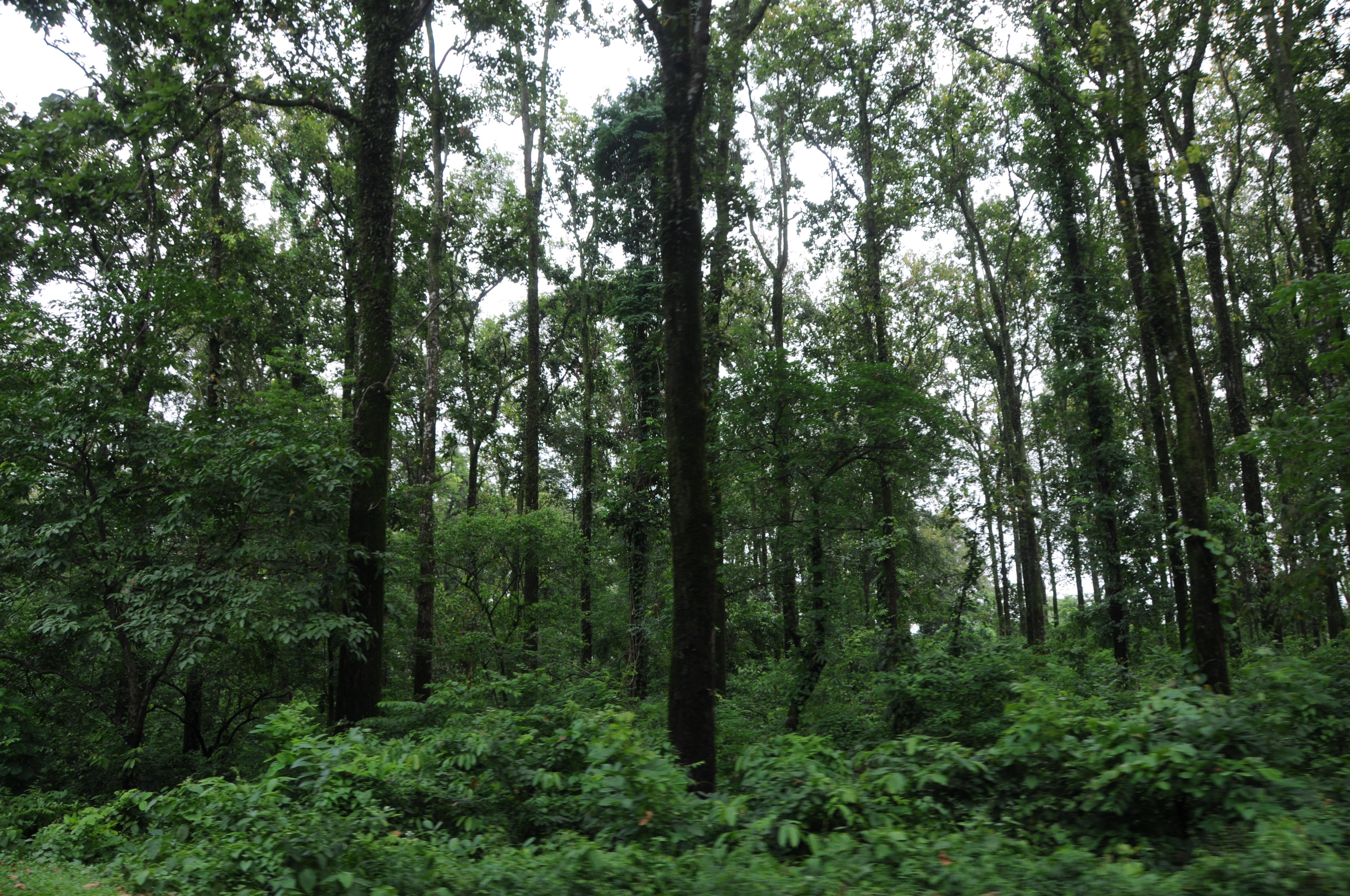
Mangpong Forest, West Bengal
Darjeeling, West Bengal

CSP_3991.JPG
Suruk Khasmahal, West Bengal
CSP_3993.JPG
Aahal view point, Shelpu
Aahal view point, Shelpu
Yang Makum Khasmahal, West Bengal
CSP_4157.JPG
Nepal-India-4317

The Coronation Bridge...
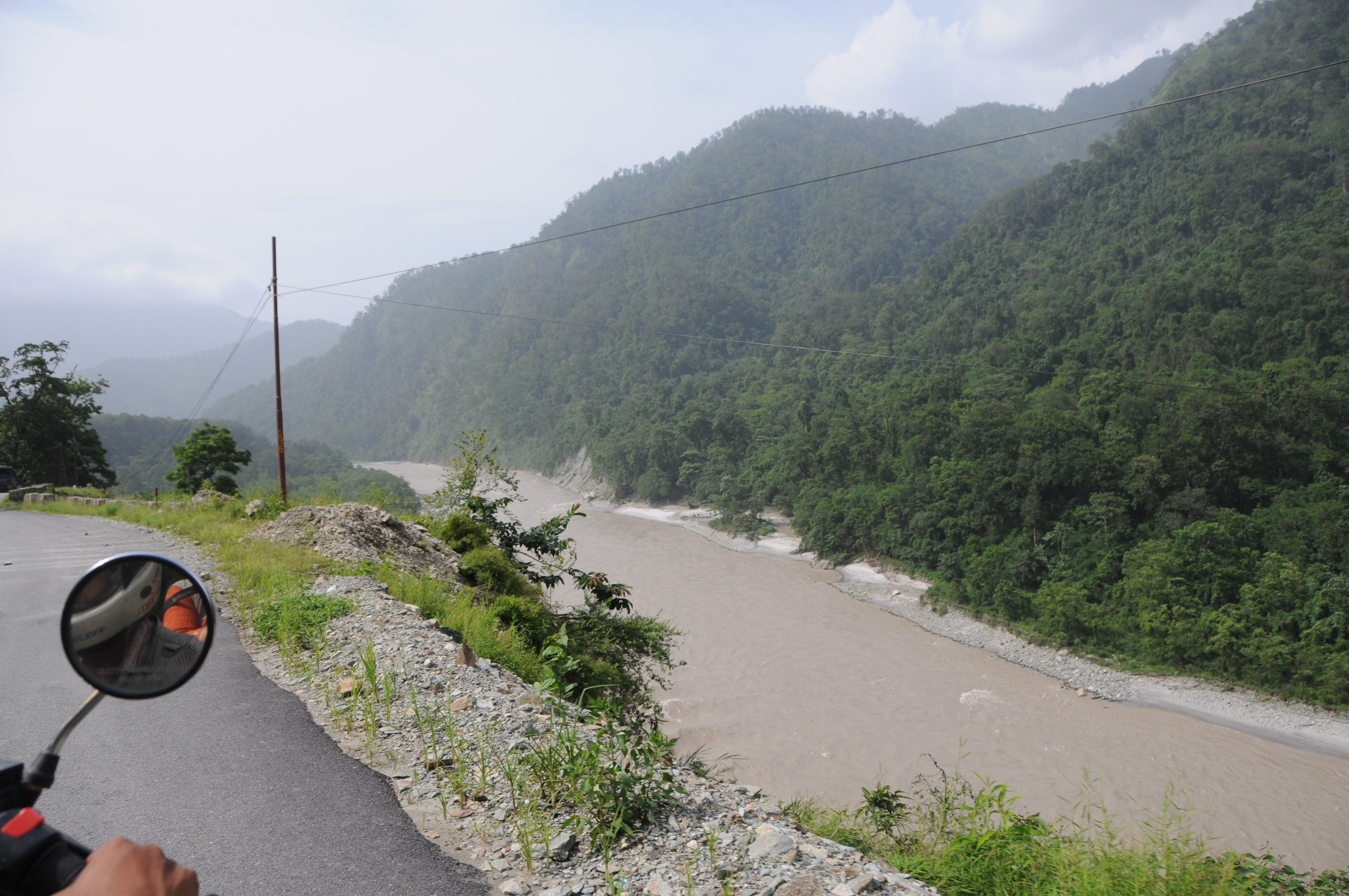
En route to Gangtok, Sikkim from Siliguri, West Bengal
Yang Makum Khasmahal, West Bengal
CSP_3982.JPG
Yang Makum Khasmahal, West Bengal
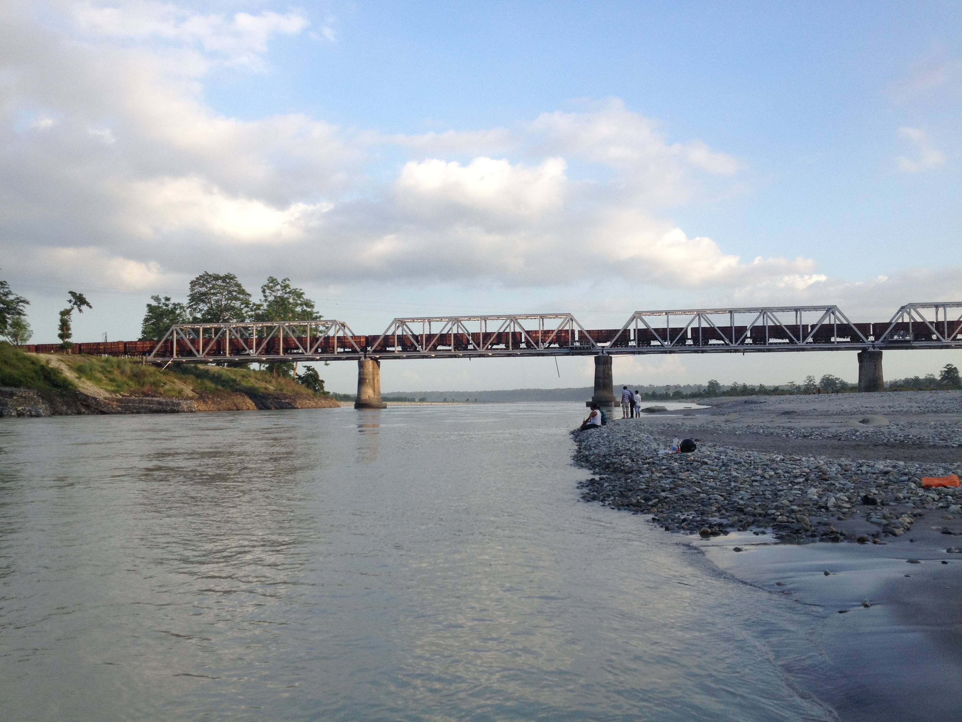
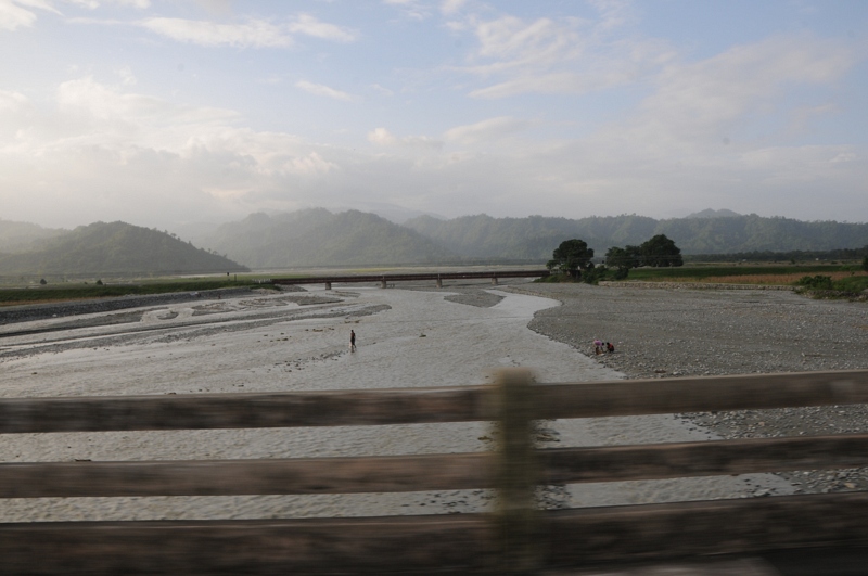
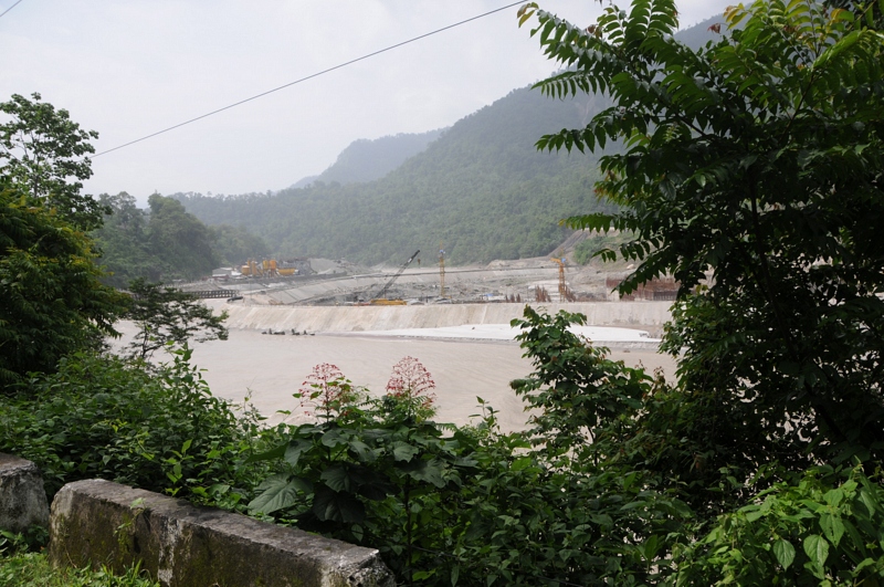
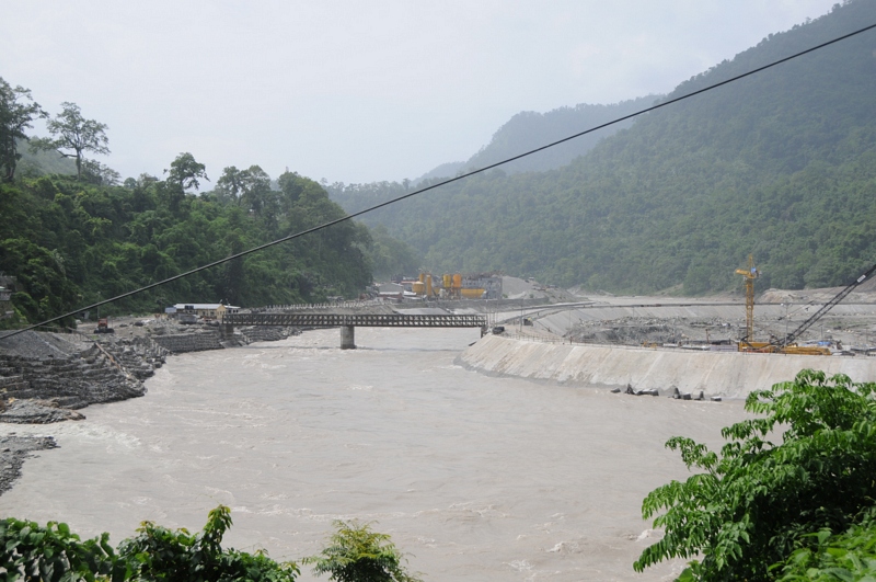
Bridge over Teesta

CSP_3988.JPG
Bhutan Cycling
CSP_3981.JPG
CSP_3992.JPG
Let the mountains talk, let the river run. Once more, and forever.
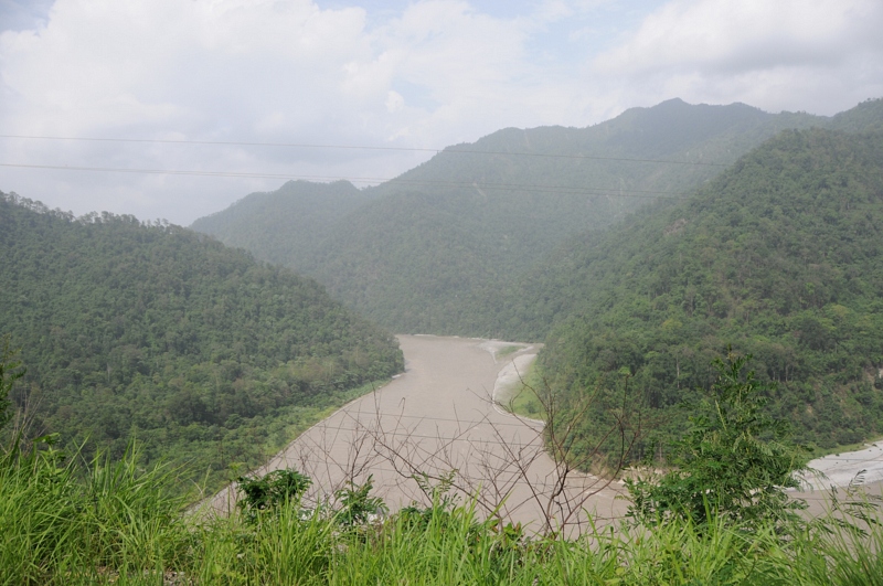
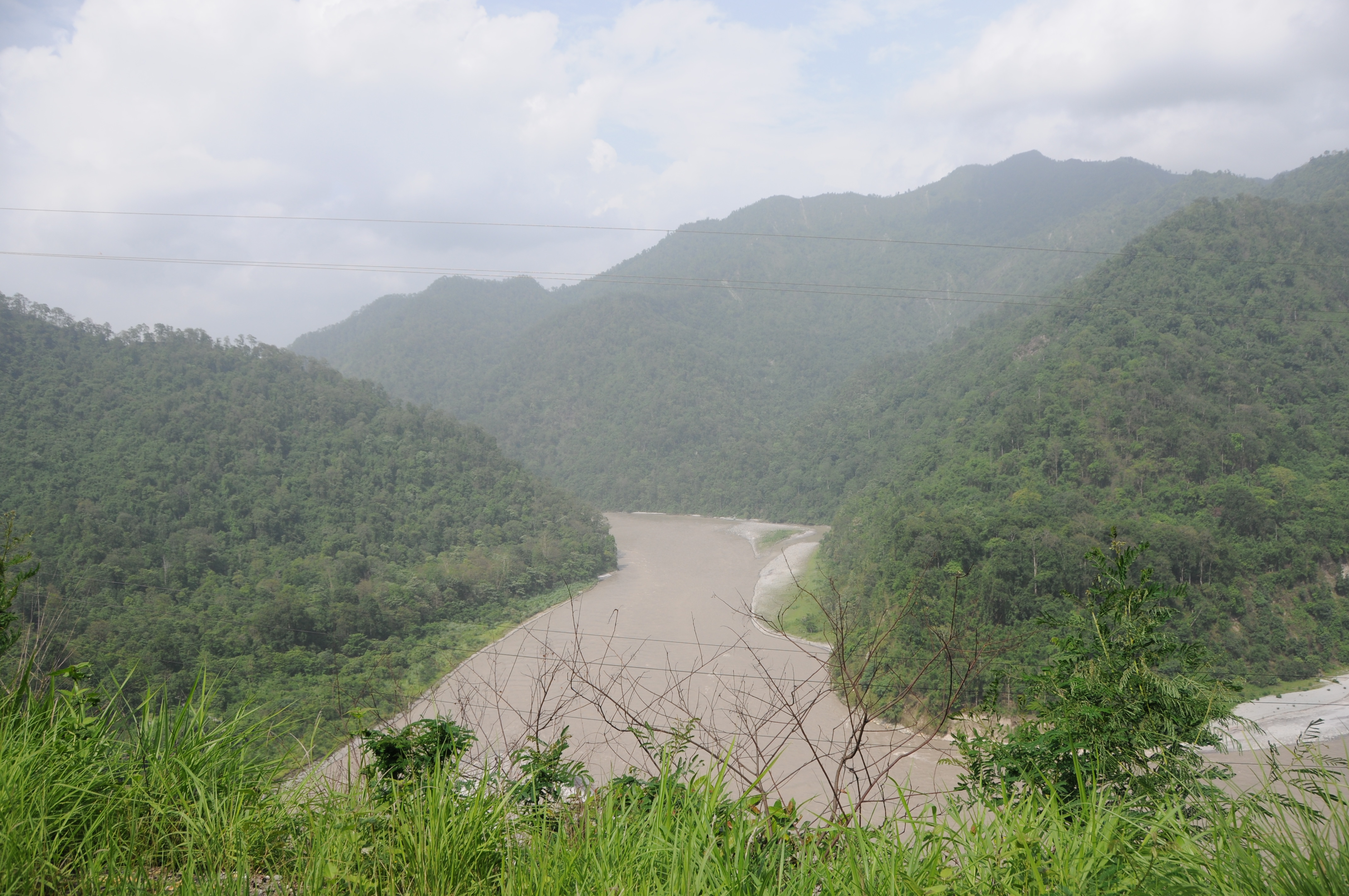
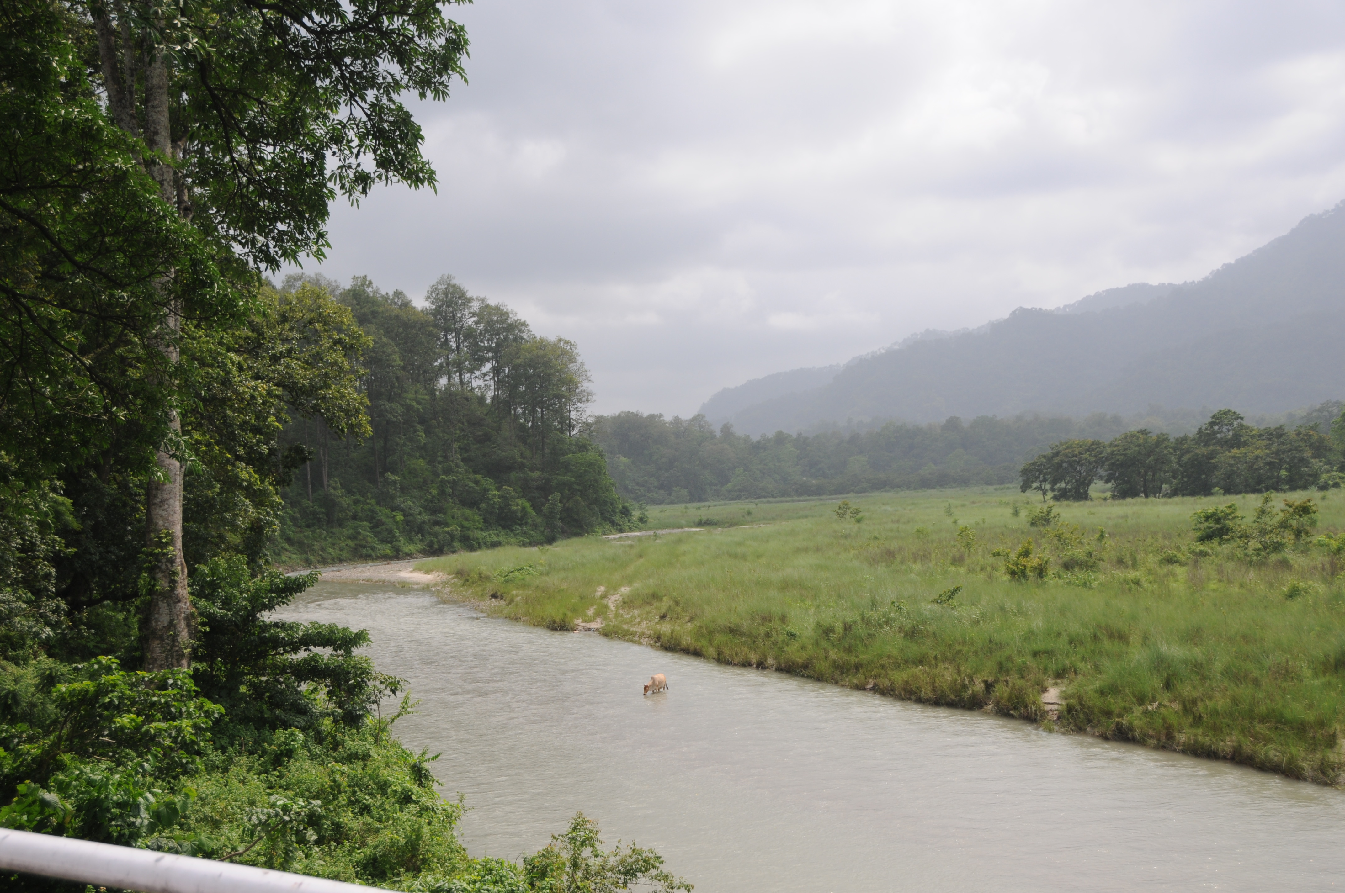
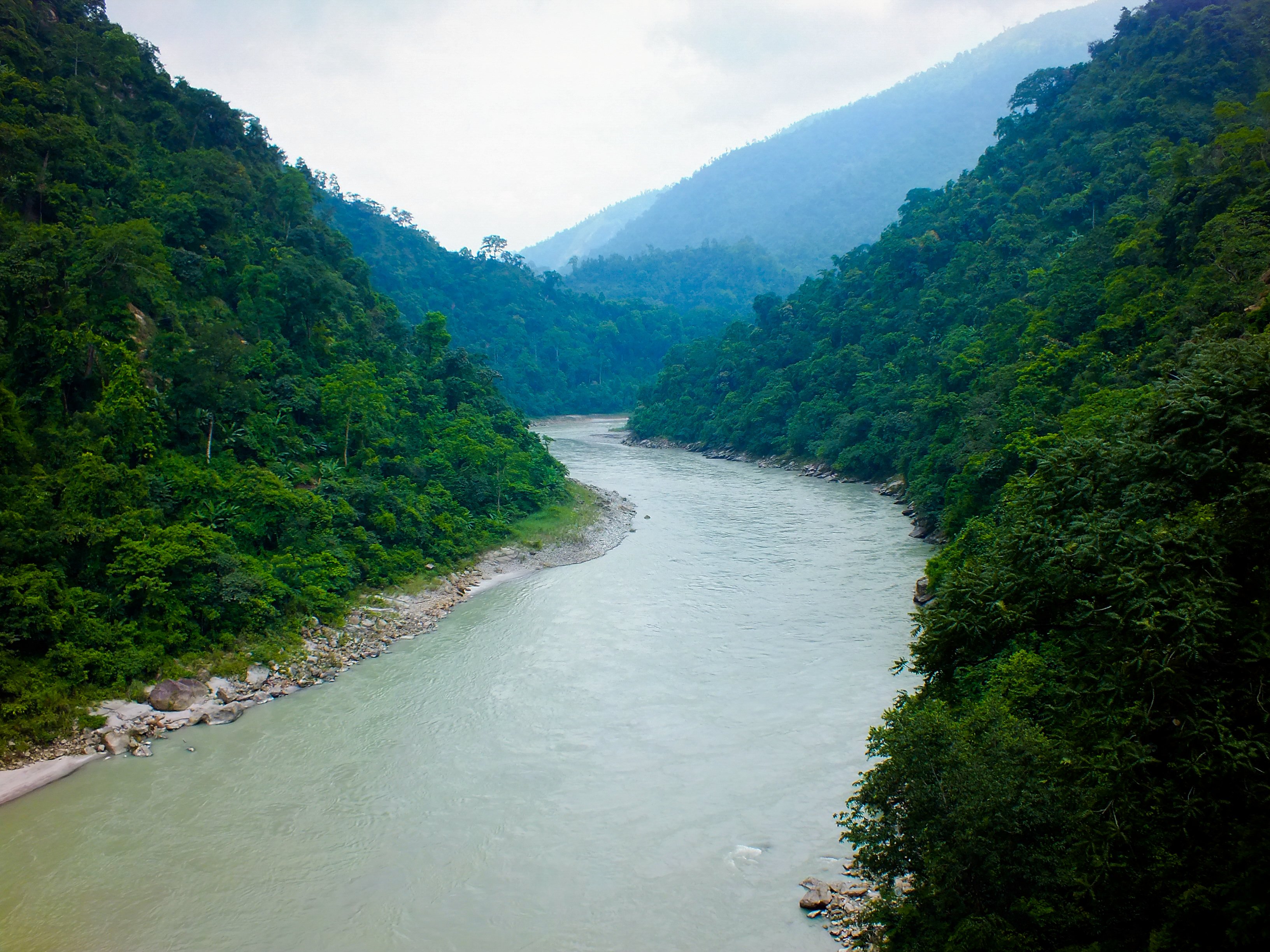
Teesta River

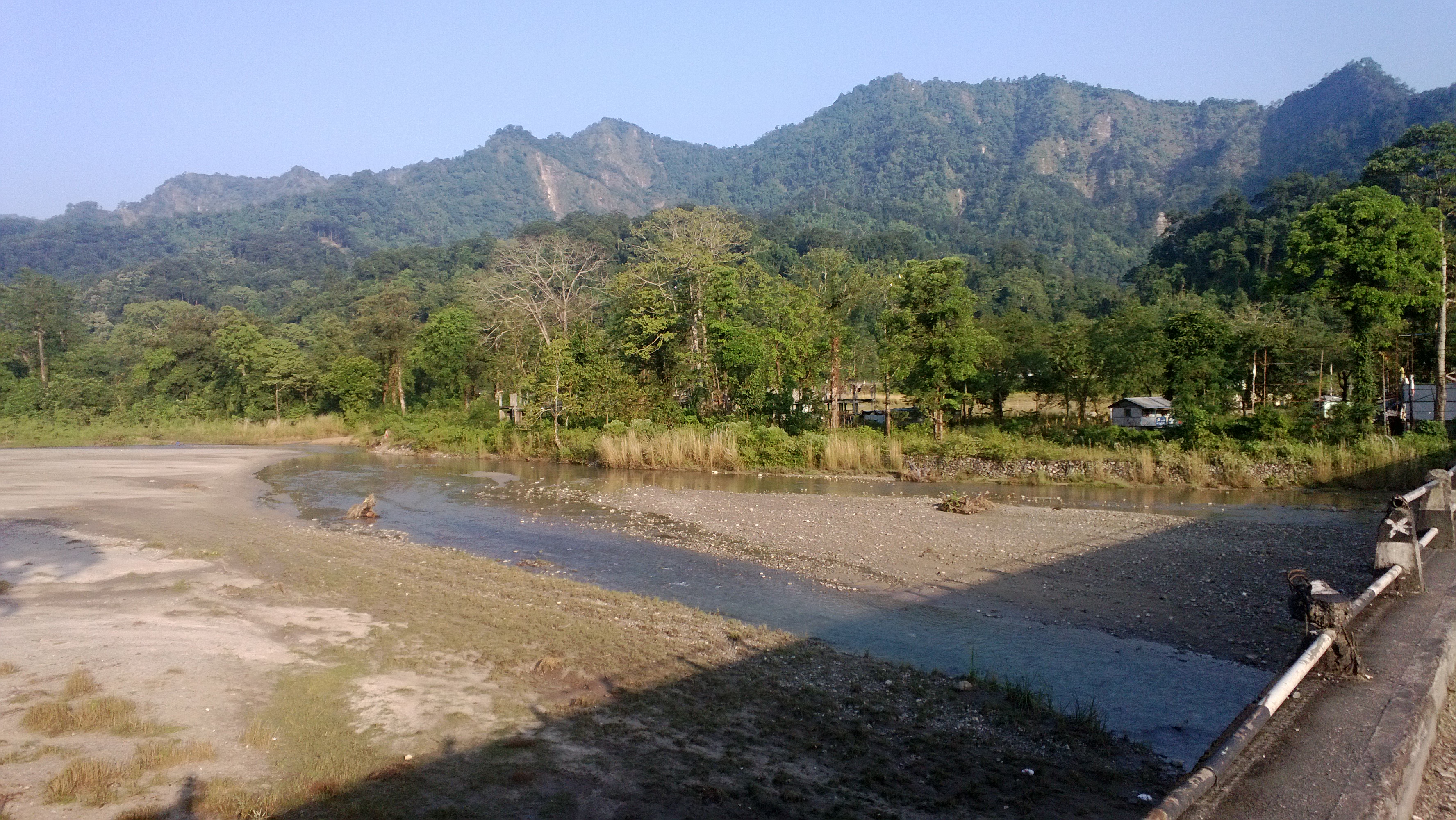
Dooars from Train
Topographic Map of Nya Sylee Director's Bungalow Nya Sylee Tea Estate, Nagrakata, West Bengal, India
Find elevation by address:

Places near Nya Sylee Director's Bungalow Nya Sylee Tea Estate, Nagrakata, West Bengal, India:
Yang Makum Khasmahal
Latpanchar
Bong Gramin Bazaar
Kalimpong
Jhandi Eco Hut
Yaksha Holiday Homes
Kalimpong Khasmahal
Government Cinchona Plantation Nursery
Sittong Khasmahal
Soriang Khasmahal
Darjeeling
Mangpoo
Suntaley (labdha) Ground
Rungbee Jnanpith Higher Secondary School
Gurung Guest House
Mungpoo
Tukdah Forest
Tiger Hill, Darjeeling
Tiger Hill Sunrise Observatory
Senchal Forest
Recent Searches:
- Elevation of Felindre, Swansea SA5 7LU, UK
- Elevation of Leyte Industrial Development Estate, Isabel, Leyte, Philippines
- Elevation of W Granada St, Tampa, FL, USA
- Elevation of Pykes Down, Ivybridge PL21 0BY, UK
- Elevation of Jalan Senandin, Lutong, Miri, Sarawak, Malaysia
- Elevation of Bilohirs'k
- Elevation of 30 Oak Lawn Dr, Barkhamsted, CT, USA
- Elevation of Luther Road, Luther Rd, Auburn, CA, USA
- Elevation of Unnamed Road, Respublika Severnaya Osetiya — Alaniya, Russia
- Elevation of Verkhny Fiagdon, North Ossetia–Alania Republic, Russia