Elevation of Bablin-Ingo Rd, Crawford, WV, USA
Location: United States > West Virginia > Lewis County > Courthouse-collins Settlement > Crawford >
Longitude: -80.412479
Latitude: 38.769252
Elevation: 332m / 1089feet
Barometric Pressure: 97KPa
Elevation Map:
Satellite Map:
Related Photos:
Falls_Mill
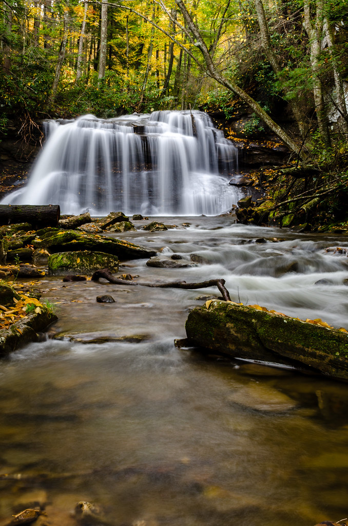
Upper Falls
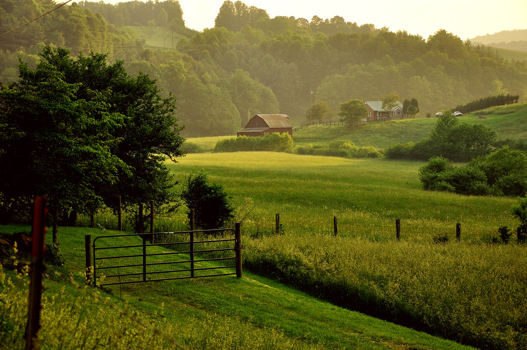
Appalachian Countryside

The Shadowlands

Storm casualty

Once Called Home

Buckin' Beauty

Golden Dusk

West Virginia Speed Bump
Streams of Living Water
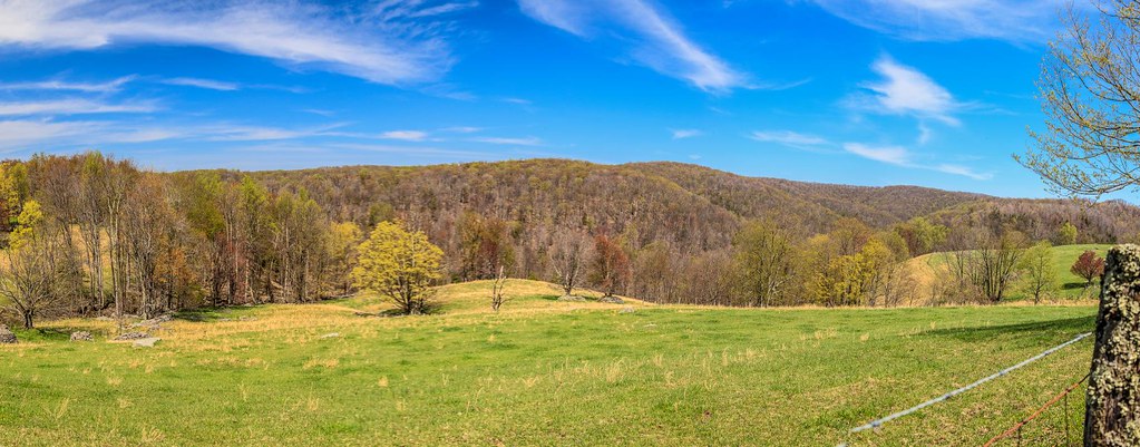
West Virginia Panorma from Balli Farm

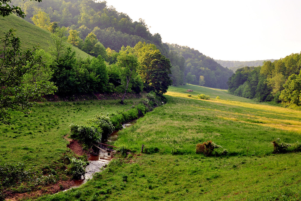
Through the Grass

Alpine River

Fidler's Mill
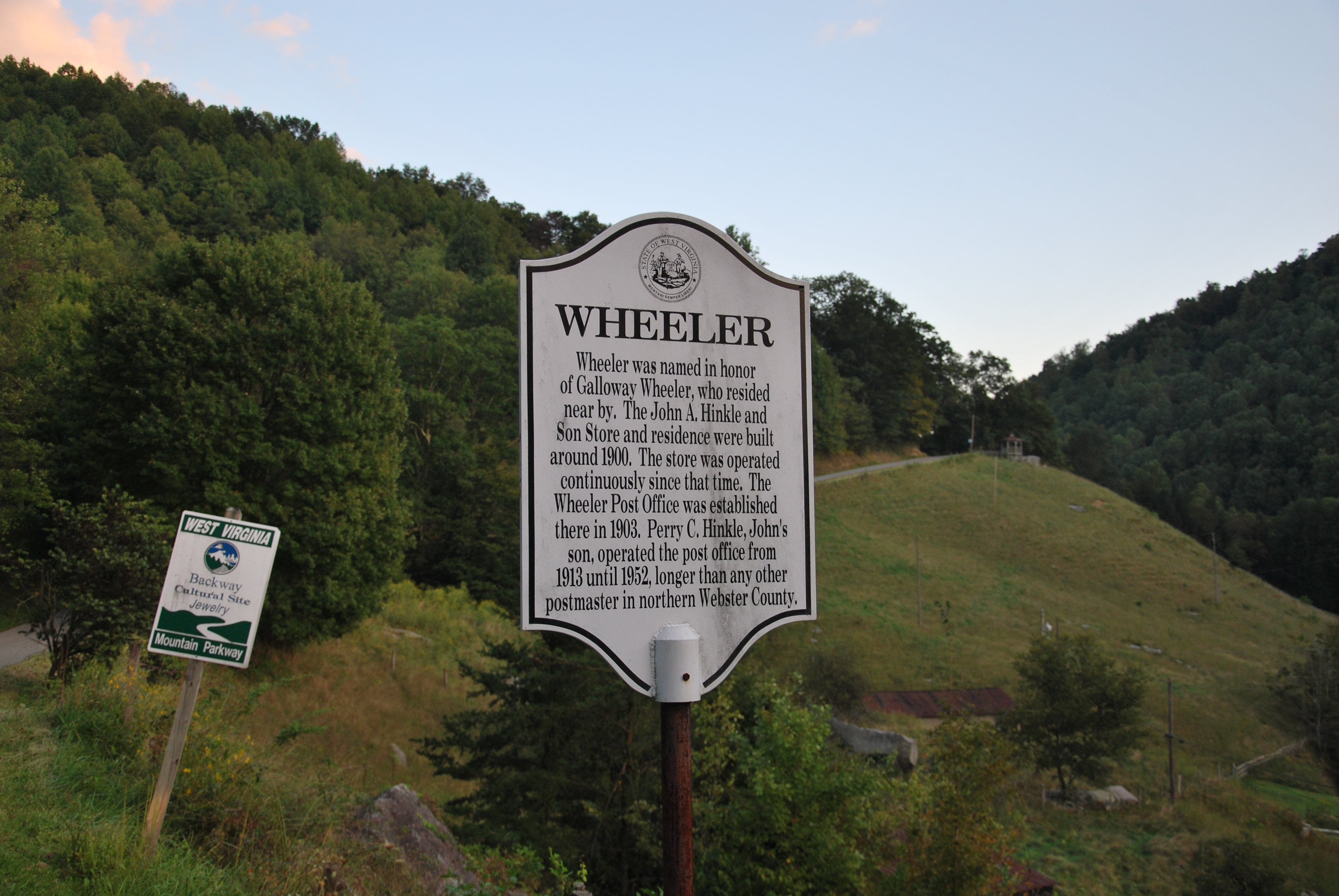
Wheeler Historical Marker

Little Kanawha River

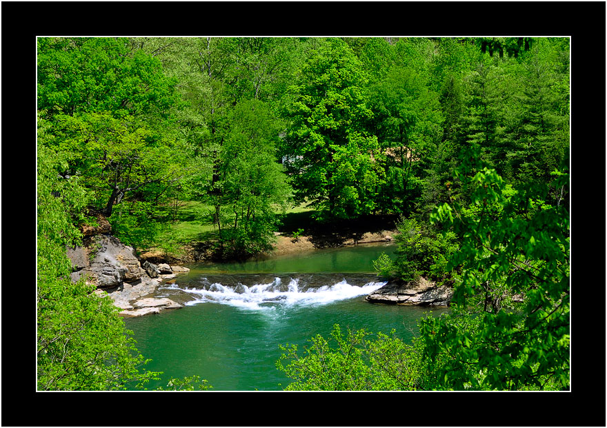
Fall's Mill

Alpine River
20110604-HollyRiver-065
More Angel Hair

Wheeler Overlook

White Water - Laurel Run
Topographic Map of Bablin-Ingo Rd, Crawford, WV, USA
Find elevation by address:

Places near Bablin-Ingo Rd, Crawford, WV, USA:
Bablin-Ingo Rd, Crawford, WV, USA
4776 Glady Creek Rd
4723 Glady Creek Rd
3256 Heaston Ridge Rd
3256 Heaston Ridge Rd
6124 Heaston Ridge Rd
Co Rte 20/17, Rock Cave, WV, USA
Ireland
99 Gaines Rd
100 Gaines Rd
Replete Rd, Hacker Valley, WV, USA
5 Salem Ridge
Rock Cave
Canaan Road
372 Jr Burnside Rd
Goshen
2269 Selbyville Rd
Zoin Selbyville Rd, French Creek, WV, USA
429 Skeeter Hill Rd
Rock Cave, WV, USA
Recent Searches:
- Elevation of Congressional Dr, Stevensville, MD, USA
- Elevation of Bellview Rd, McLean, VA, USA
- Elevation of Stage Island Rd, Chatham, MA, USA
- Elevation of Shibuya Scramble Crossing, 21 Udagawacho, Shibuya City, Tokyo -, Japan
- Elevation of Jadagoniai, Kaunas District Municipality, Lithuania
- Elevation of Pagonija rock, Kranto 7-oji g. 8"N, Kaunas, Lithuania
- Elevation of Co Rd 87, Jamestown, CO, USA
- Elevation of Tenjo, Cundinamarca, Colombia
- Elevation of Côte-des-Neiges, Montreal, QC H4A 3J6, Canada
- Elevation of Bobcat Dr, Helena, MT, USA