Elevation of Rock Cave, WV, USA
Location: United States > West Virginia > Upshur County > Third >
Longitude: -80.342583
Latitude: 38.8367674
Elevation: 531m / 1742feet
Barometric Pressure: 95KPa
Elevation Map:
Satellite Map:
Related Photos:
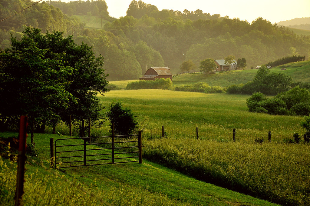
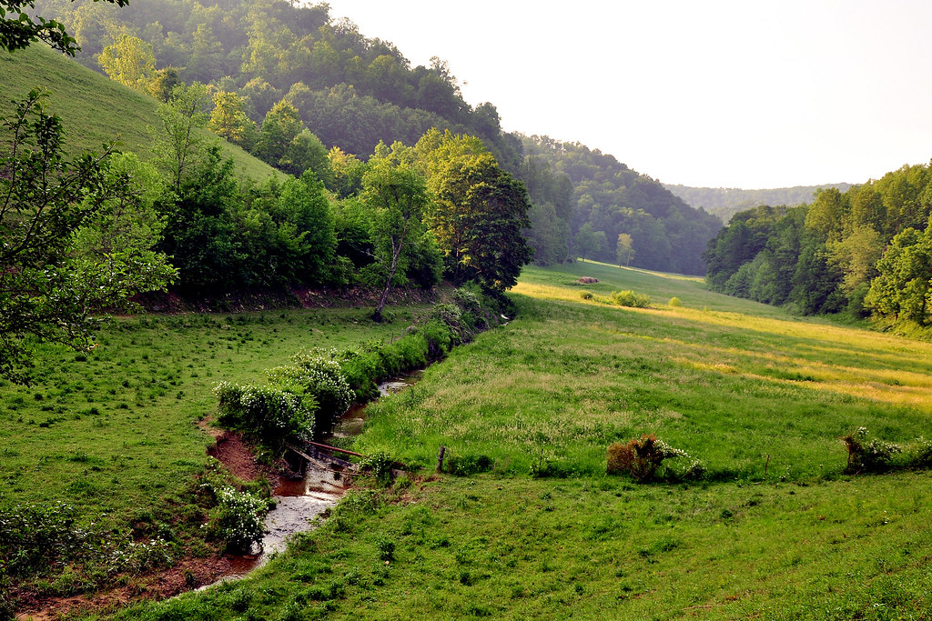
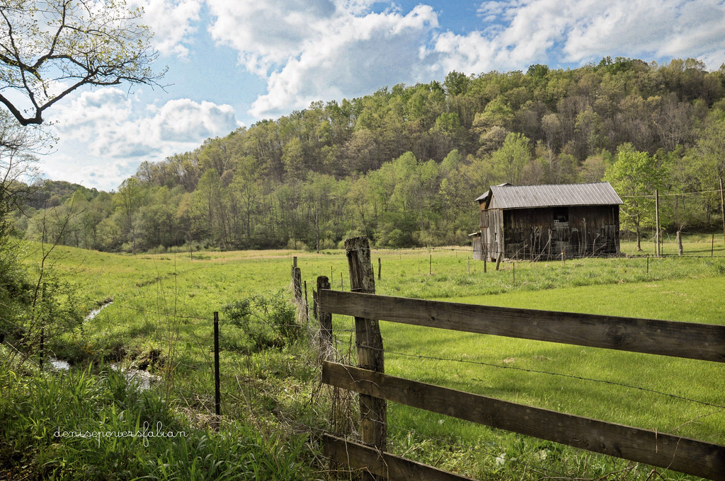
Appalachian Countryside
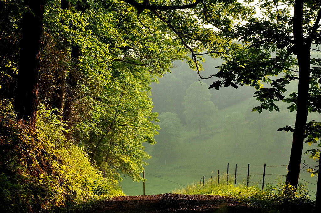
The Shadowlands
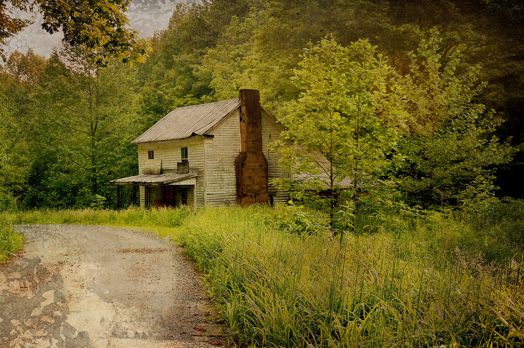
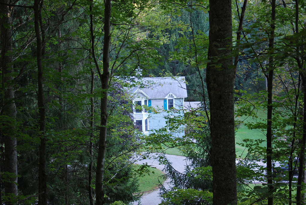
Once Called Home
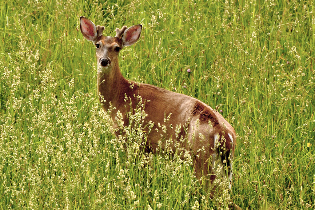
Buckin' Beauty

Golden Dusk

Through the Grass
Streams of Living Water
WV state trip
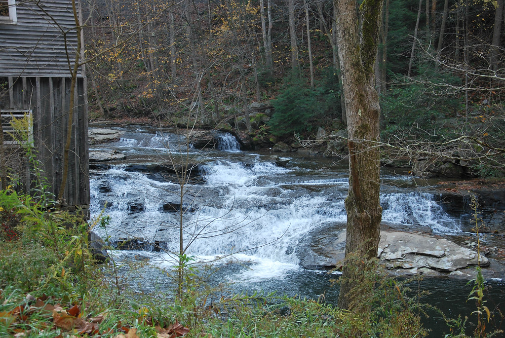
Fidler's Mill

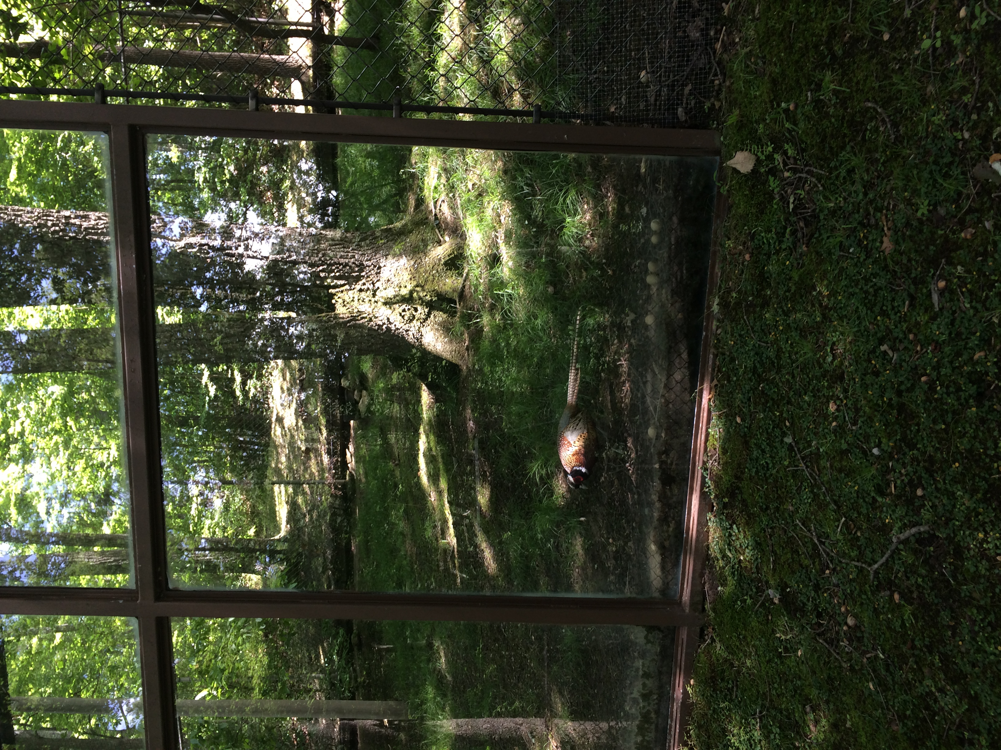
WVSWC: Red-Tailed Hawk

WVSWC: Bison

Little Kanawha River

WVSWC: Bison
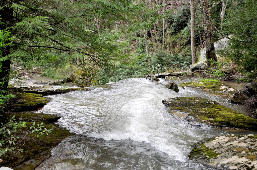
White Water - Laurel Run

West Virginia Speed Bump
Johnson Home
And a Happy Fence Friday to All
Img0025 26-May-10

Stonewall Jackson Lake, WV
May Apple
Little Kanawha River
Topographic Map of Rock Cave, WV, USA
Find elevation by address:

Places in Rock Cave, WV, USA:
Places near Rock Cave, WV, USA:
5 Salem Ridge
99 Gaines Rd
100 Gaines Rd
3256 Heaston Ridge Rd
6124 Heaston Ridge Rd
3256 Heaston Ridge Rd
372 Jr Burnside Rd
Co Rte 20/17, Rock Cave, WV, USA
Canaan Road
Bablin-Ingo Rd, Crawford, WV, USA
908 Co Rte 11/11
2021 Bablin-ingo Rd
Zoin Selbyville Rd, French Creek, WV, USA
2269 Selbyville Rd
429 Skeeter Hill Rd
4723 Glady Creek Rd
4776 Glady Creek Rd
Rock Cave, WV, USA
Ireland
Goshen
Recent Searches:
- Elevation of Steadfast Ct, Daphne, AL, USA
- Elevation of Lagasgasan, X+CQH, Tiaong, Quezon, Philippines
- Elevation of Rojo Ct, Atascadero, CA, USA
- Elevation of Flagstaff Drive, Flagstaff Dr, North Carolina, USA
- Elevation of Avery Ln, Lakeland, FL, USA
- Elevation of Woolwine, VA, USA
- Elevation of Lumagwas Diversified Farmers Multi-Purpose Cooperative, Lumagwas, Adtuyon, RV32+MH7, Pangantucan, Bukidnon, Philippines
- Elevation of Homestead Ridge, New Braunfels, TX, USA
- Elevation of Orchard Road, Orchard Rd, Marlborough, NY, USA
- Elevation of 12 Hutchinson Woods Dr, Fletcher, NC, USA