Elevation of Goshen, Third, WV, USA
Location: United States > West Virginia > Upshur County > Third >
Longitude: -80.306469
Latitude: 38.7123265
Elevation: 739m / 2425feet
Barometric Pressure: 93KPa
Elevation Map:
Satellite Map:
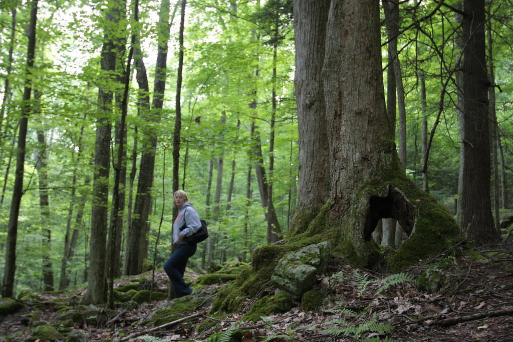
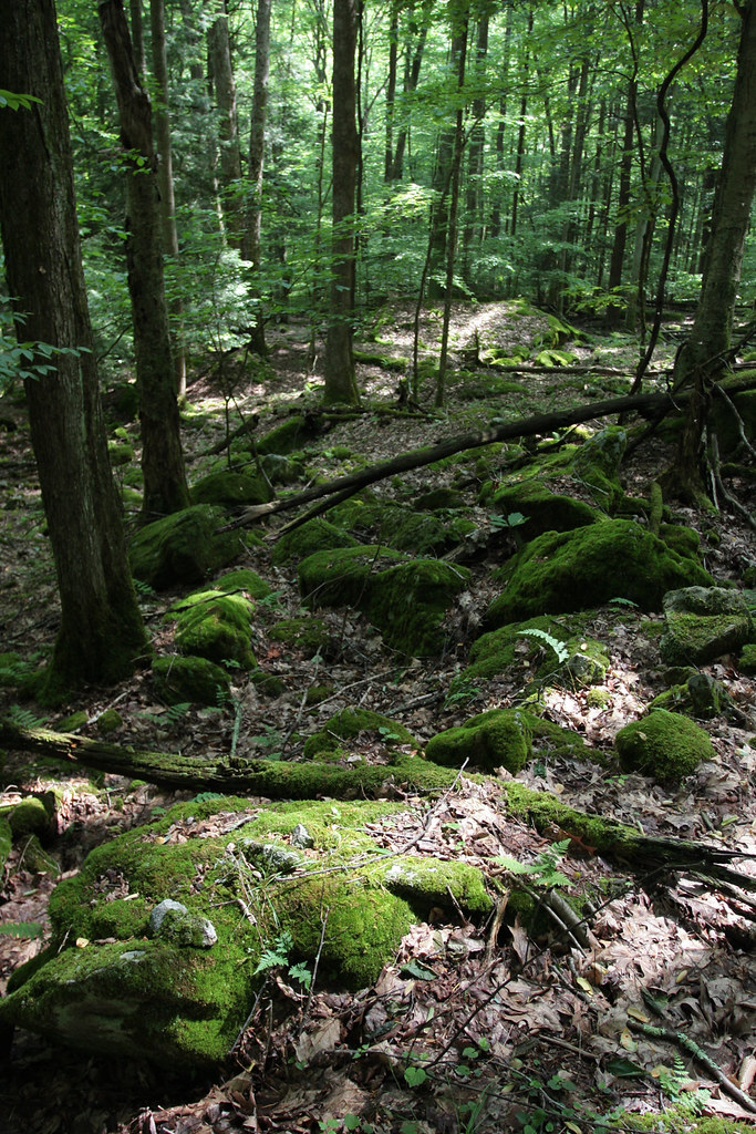
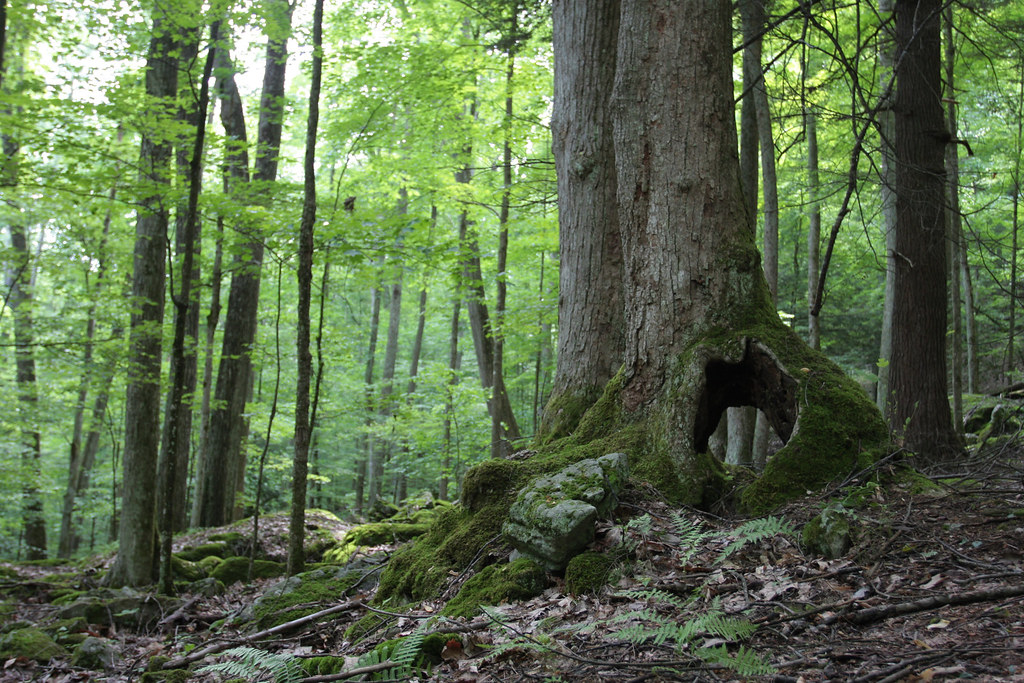
Related Photos:
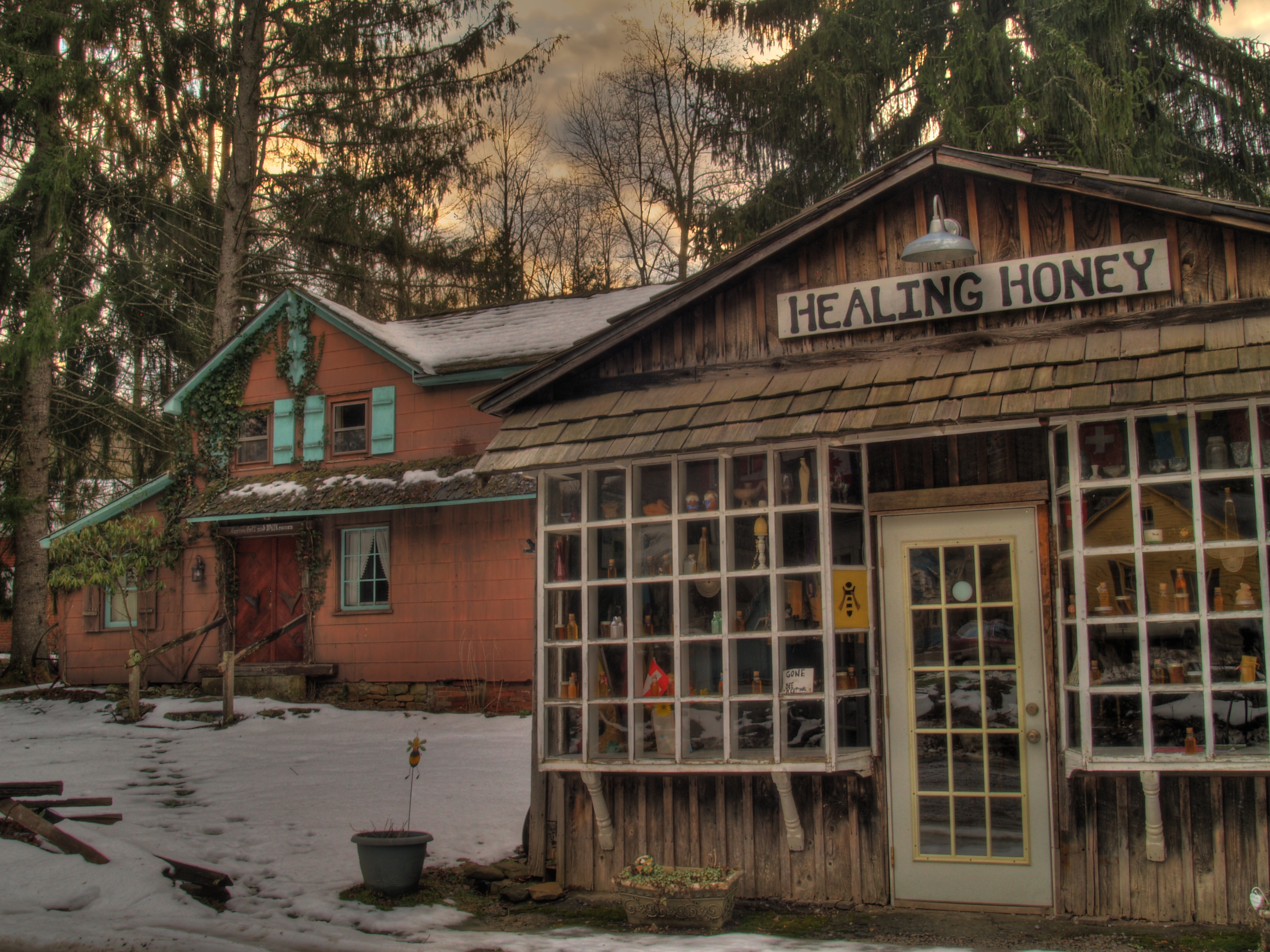
Beekeeper Inn, Helvetia
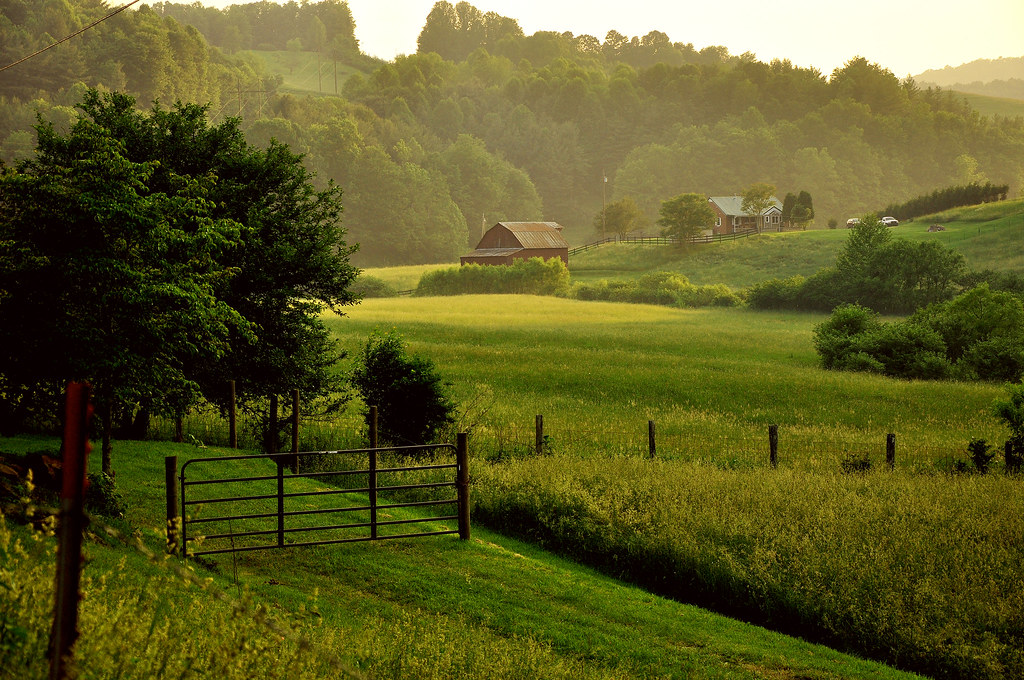
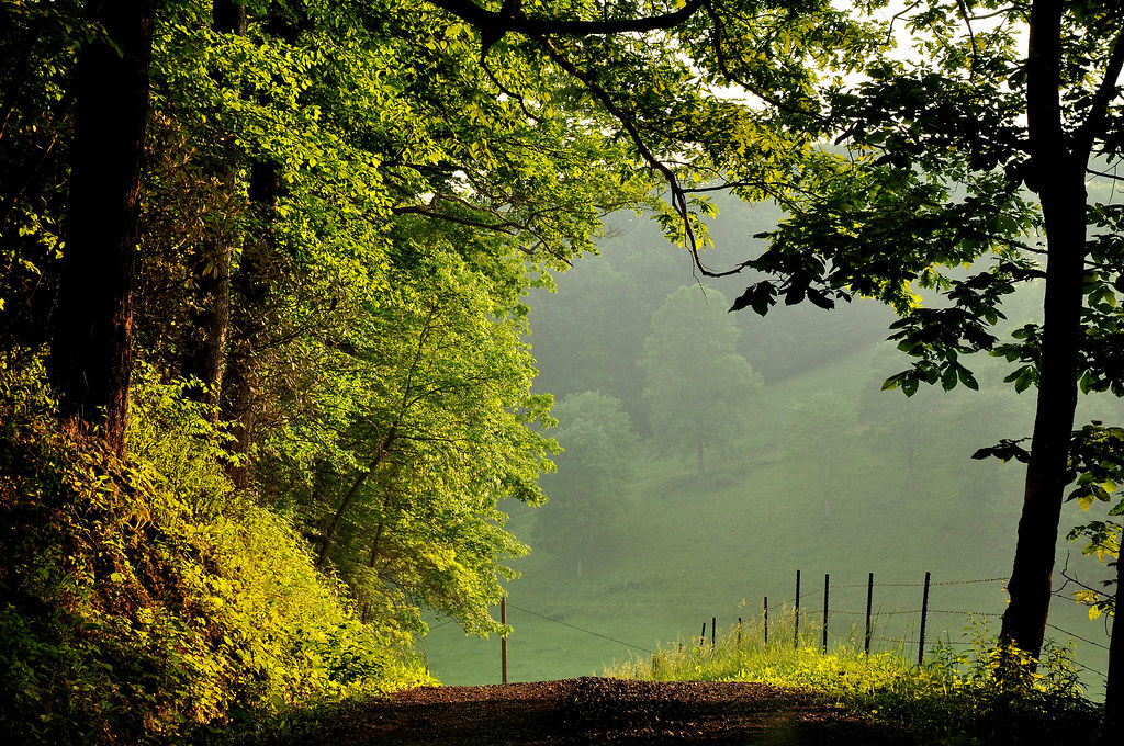
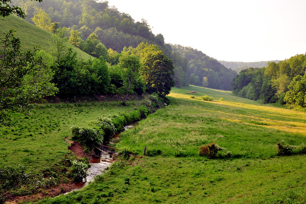
Appalachian Countryside
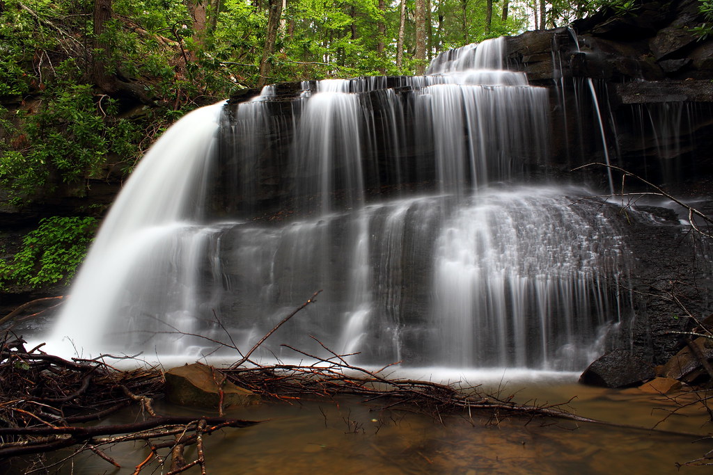
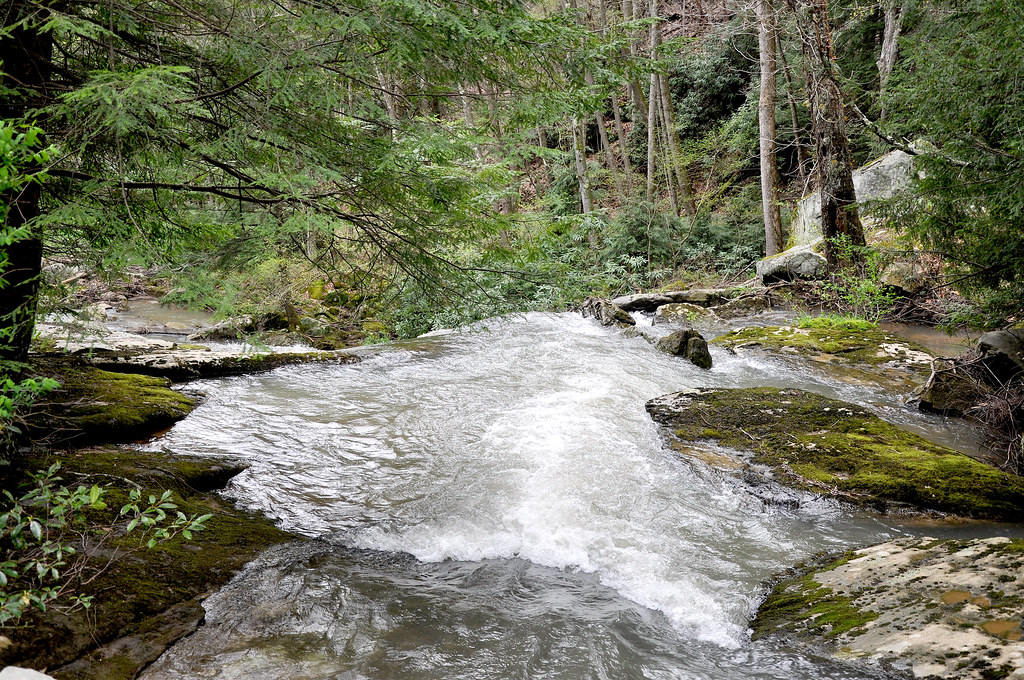
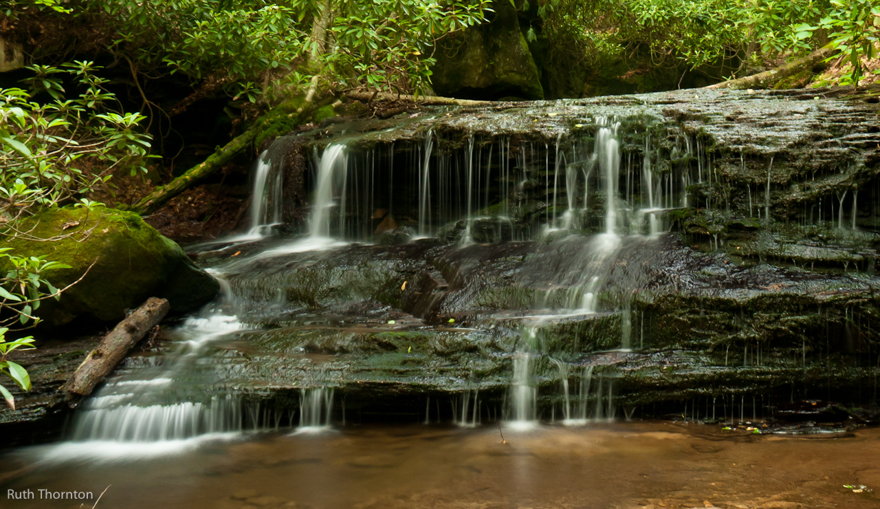
Upper Falls
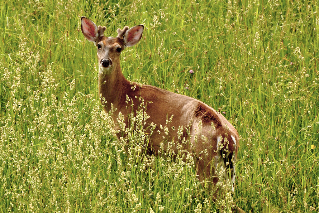
Buckin' Beauty
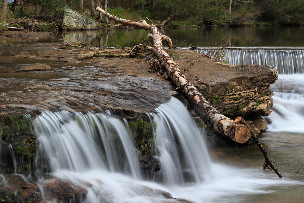
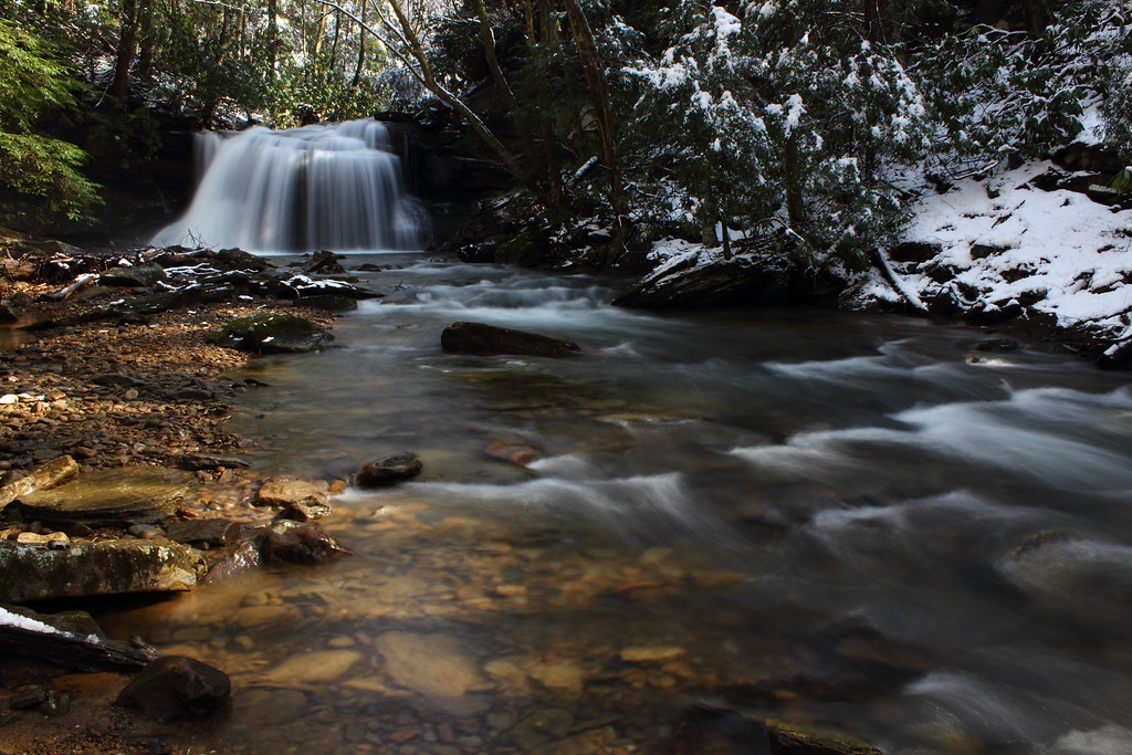
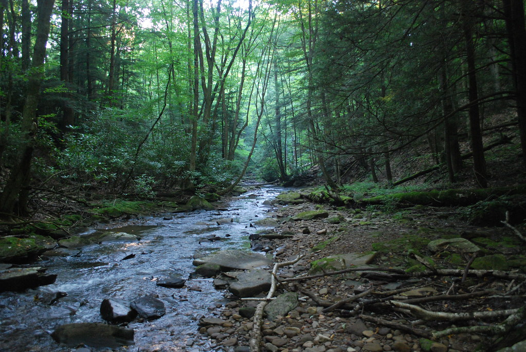
White Water - Laurel Run
Storm casualty
The Shadowlands
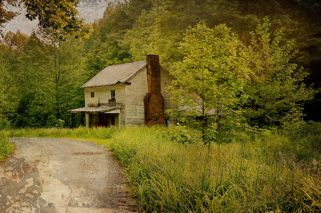
Once Called Home
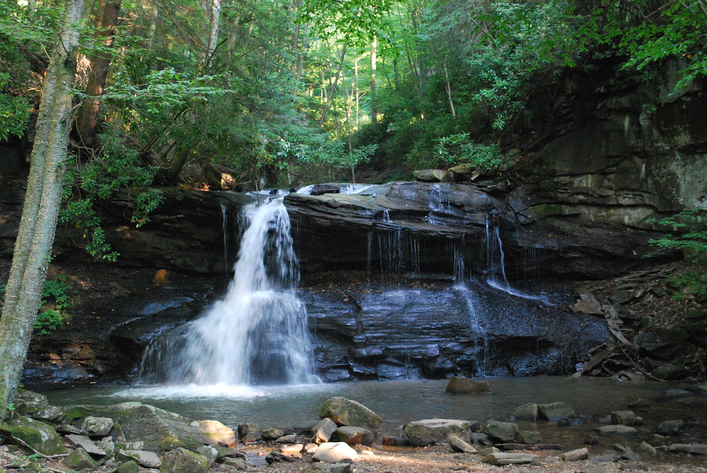
Upper Falls
Img0167 30-May-09
Img0186 30-May-09
Img0165 30-May-09
20110604-HollyRiver-065
Upper Falls

Golden Dusk
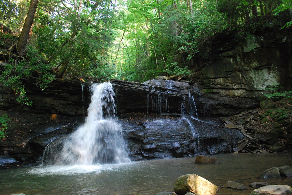
Upper Falls
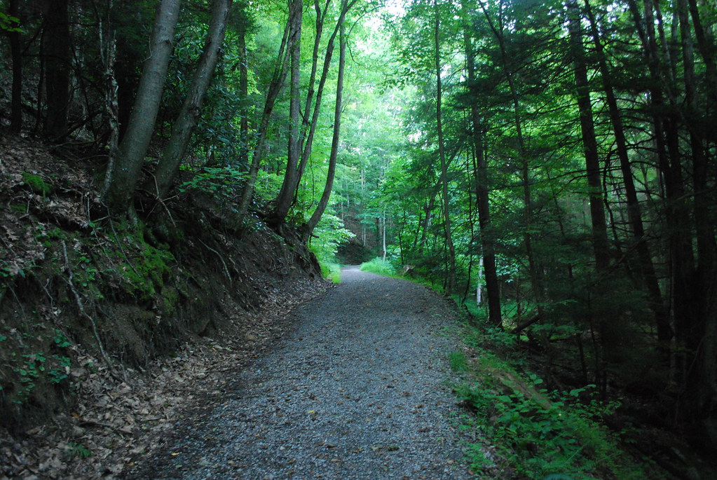
Path to Schupe's Chute
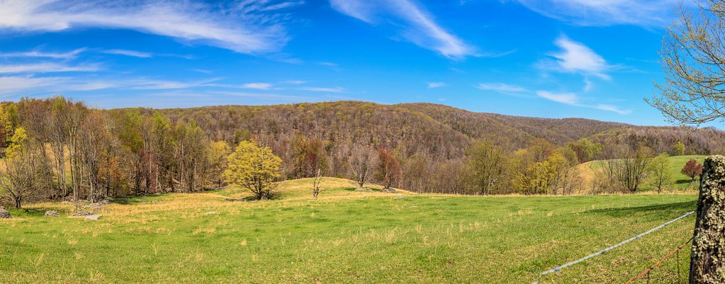
West Virginia Panorma from Balli Farm

Through the Grass
Img0182 30-May-09
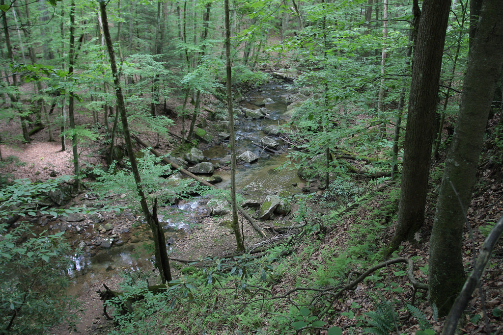
Fall Run
Streams of Living Water
Topographic Map of Goshen, Third, WV, USA
Find elevation by address:

Places near Goshen, Third, WV, USA:
Canaan Road
2269 Selbyville Rd
429 Skeeter Hill Rd
Co Rte 20/17, Rock Cave, WV, USA
Zoin Selbyville Rd, French Creek, WV, USA
Rock Cave, WV, USA
3971 Selbyville Rd
372 Jr Burnside Rd
100 Gaines Rd
99 Gaines Rd
Replete Rd, Hacker Valley, WV, USA
6124 Heaston Ridge Rd
Helvetia
3256 Heaston Ridge Rd
3256 Heaston Ridge Rd
Alexander Rd, French Creek, WV, USA
908 Co Rte 11/11
5 Salem Ridge
Bablin-Ingo Rd, Crawford, WV, USA
2021 Bablin-ingo Rd
Recent Searches:
- Elevation of Spaceport America, Co Rd A, Truth or Consequences, NM, USA
- Elevation of Warwick, RI, USA
- Elevation of Fern Rd, Whitmore, CA, USA
- Elevation of 62 Abbey St, Marshfield, MA, USA
- Elevation of Fernwood, Bradenton, FL, USA
- Elevation of Felindre, Swansea SA5 7LU, UK
- Elevation of Leyte Industrial Development Estate, Isabel, Leyte, Philippines
- Elevation of W Granada St, Tampa, FL, USA
- Elevation of Pykes Down, Ivybridge PL21 0BY, UK
- Elevation of Jalan Senandin, Lutong, Miri, Sarawak, Malaysia