Elevation of Ayodhya Nagar, Dhirubhai Wadi, Navsari, Gujarat, India
Location: India > Gujarat > Navsari > Jalalpore > Dhirubhai Wadi >
Longitude: 72.9129127
Latitude: 20.9344218
Elevation: 14m / 46feet
Barometric Pressure: 101KPa
Elevation Map:
Satellite Map:
Related Photos:

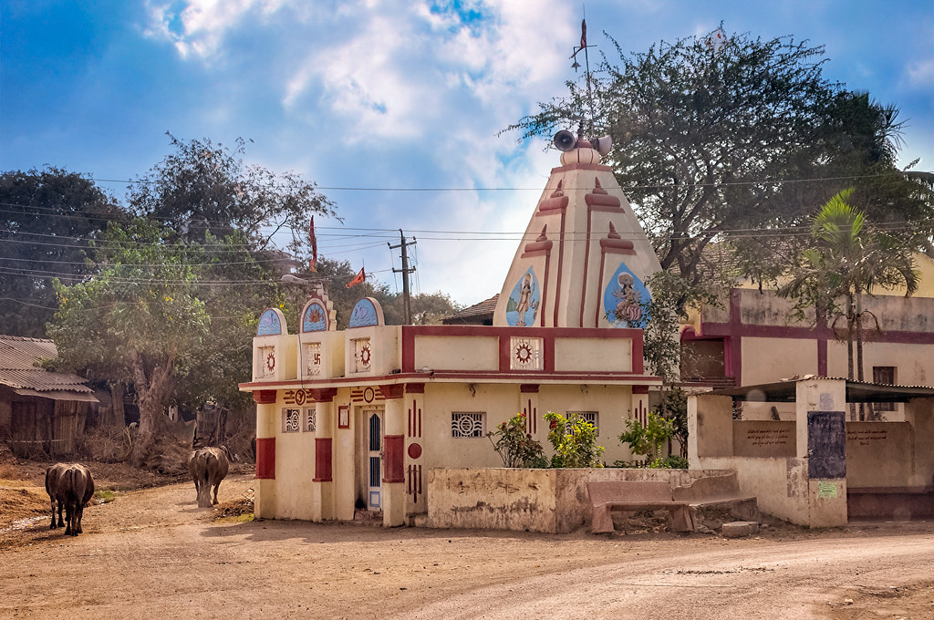
Kaliawadi, Navsari

Leaving Sagra
Mirjapor, Gujarat, India

Surat India

Old Surat Mumbai Highway

Road Sign

Maroli Char Rast
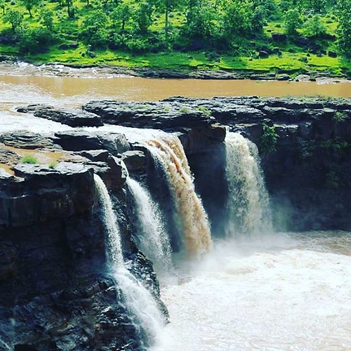
Good morning. Have a refreshing day! #waterfall #monsoon #jungle

Protection wall
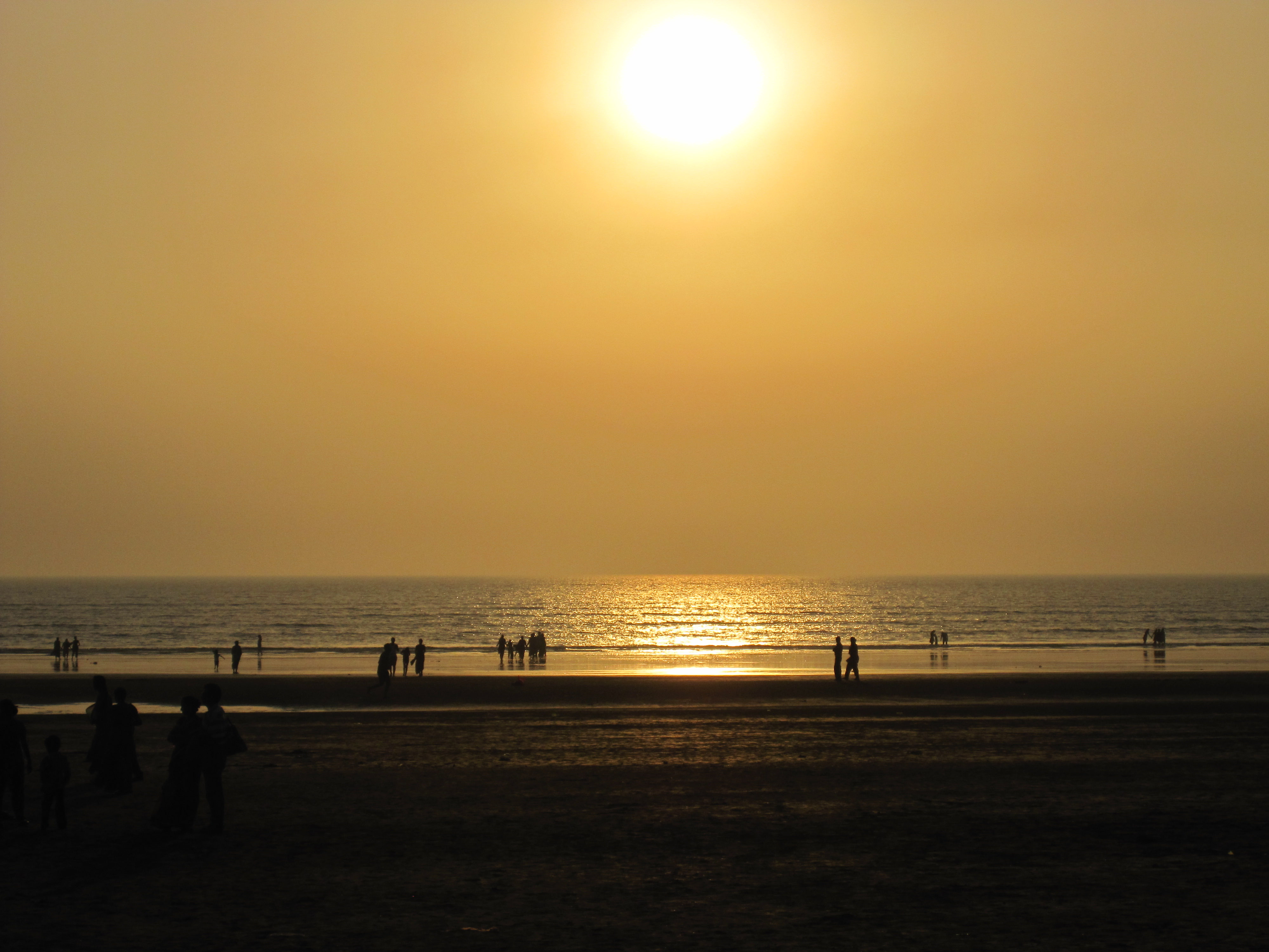
Dandi Beach Gujarat
Topographic Map of Ayodhya Nagar, Dhirubhai Wadi, Navsari, Gujarat, India
Find elevation by address:

Places in Ayodhya Nagar, Dhirubhai Wadi, Navsari, Gujarat, India:
Places near Ayodhya Nagar, Dhirubhai Wadi, Navsari, Gujarat, India:
Neela Apartment
Dhirubhai Wadi
Jalalpore
Navsari
Bilimora
Killa-pardi
Daman And Diu
Daman
Daman
Ddutcps
Dadra
Hirwa Van Garden
Amli Ind. Estate
Silvassa
Dadra And Nagar Haveli
Dadra And Nagar Haveli
Sutarpada
Velugam
Daman And Diu
Matgaon
Recent Searches:
- Elevation of Deep Gap Farm Rd E, Mill Spring, NC, USA
- Elevation of Dog Leg Dr, Minden, NV, USA
- Elevation of Dog Leg Dr, Minden, NV, USA
- Elevation of Kambingan Sa Pansol Atbp., Purok 7 Pansol, Candaba, Pampanga, Philippines
- Elevation of Pinewood Dr, New Bern, NC, USA
- Elevation of Mountain View, CA, USA
- Elevation of Foligno, Province of Perugia, Italy
- Elevation of Blauwestad, Netherlands
- Elevation of Bella Terra Blvd, Estero, FL, USA
- Elevation of Estates Loop, Priest River, ID, USA