Elevation of Sutarpada, Maharashtra, India
Location: India > Maharashtra > Thane >
Longitude: 72.8973302
Latitude: 20.1531556
Elevation: 87m / 285feet
Barometric Pressure: 100KPa
Elevation Map:
Satellite Map:
Related Photos:

CSP_6490.JPG

CSP_6485.JPG

Leaves of sapota
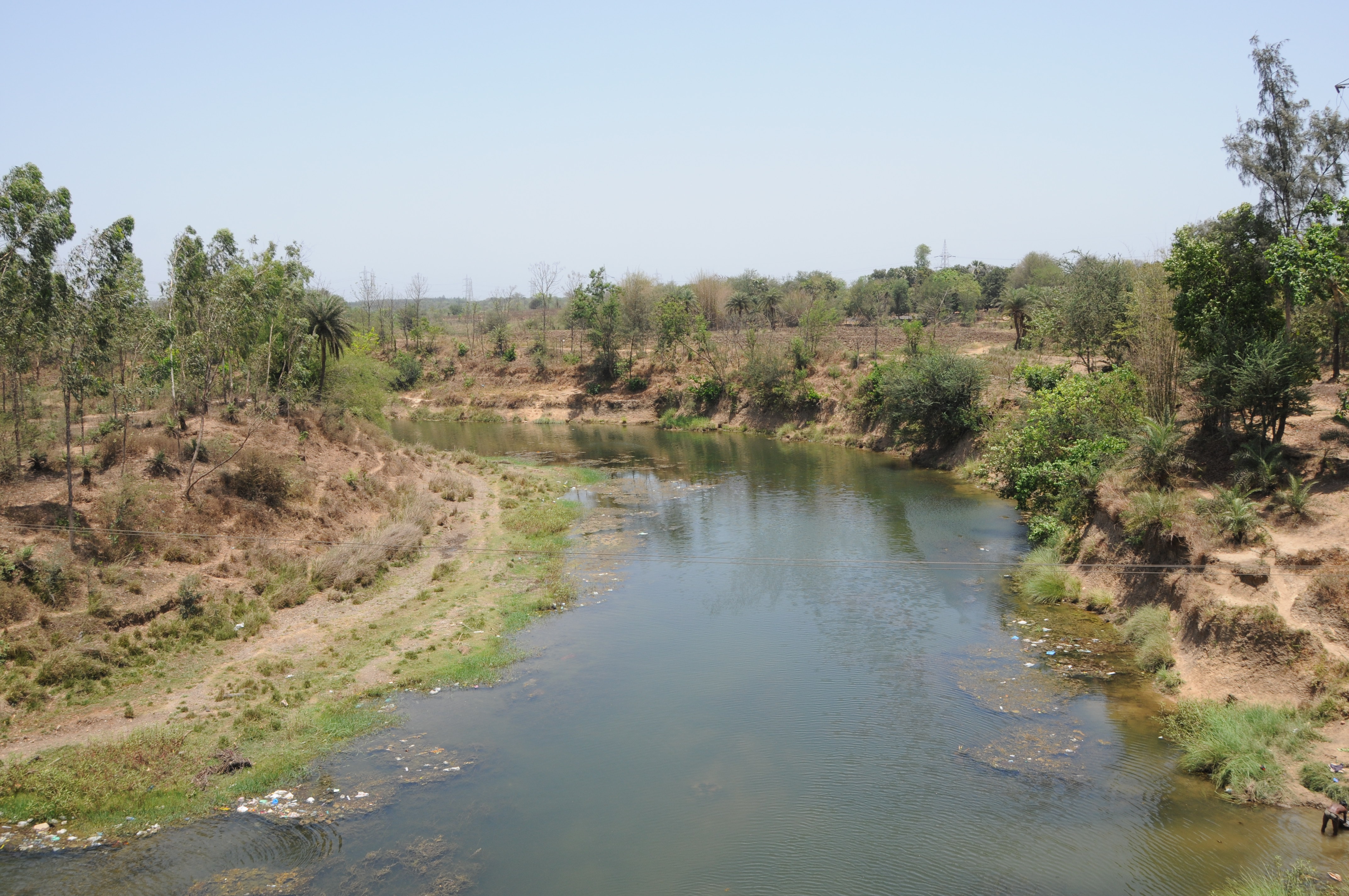
CSP_6469.JPG

CSP_6486.JPG

CSP_6491.JPG

CSP_6489.JPG

CSP_6483.JPG

CSP_6466.JPG
CSP_6472.JPG

CSP_6474.JPG

CSP_6480.JPG

CSP_6478.JPG

CSP_6477.JPG
CSP_6459.JPG

CSP_6473.JPG

CSP_6470.JPG
CSP_6476.JPG

CSP_6479.JPG

CSP_6467.JPG

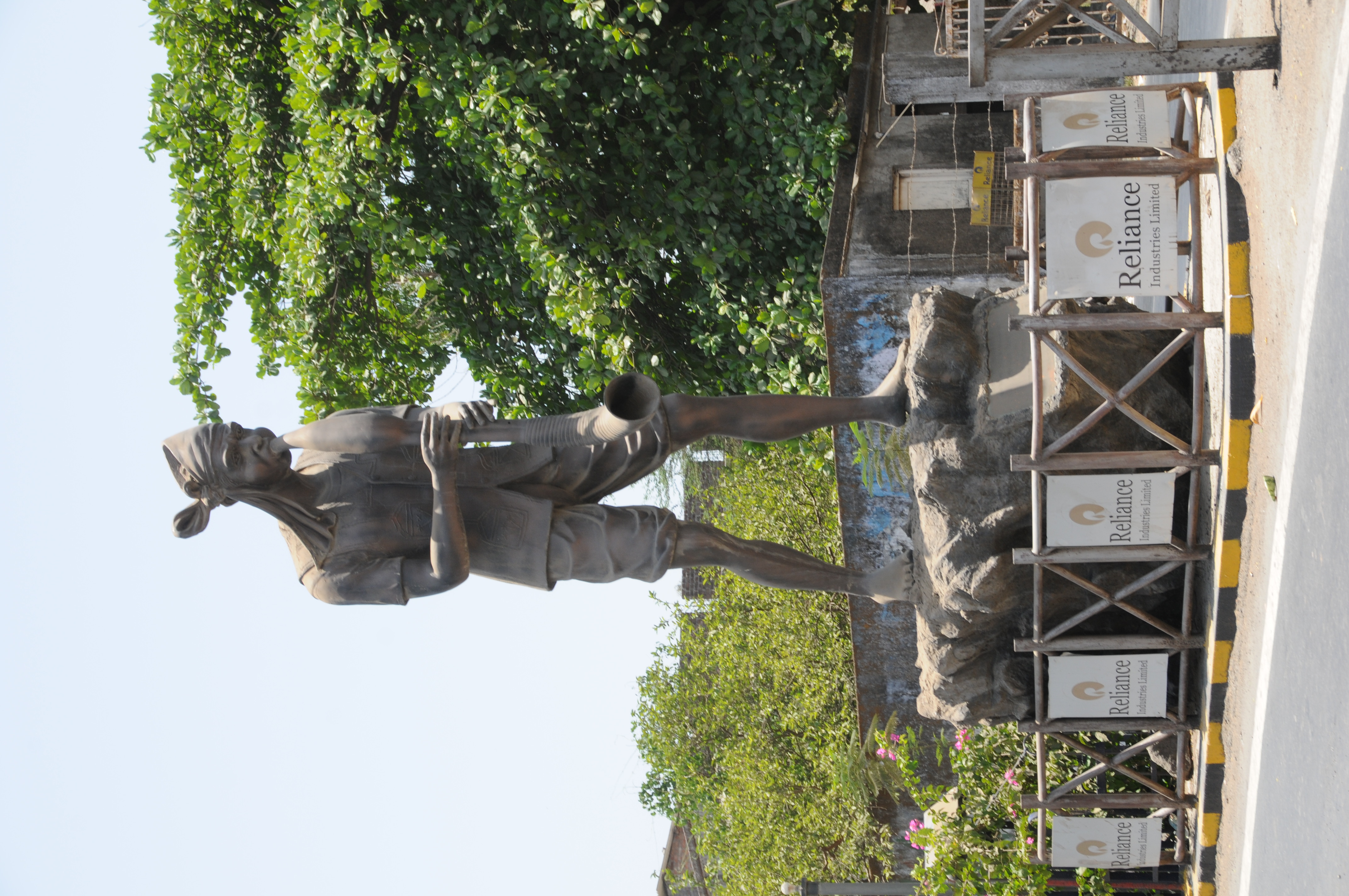
Bordi, August 2006
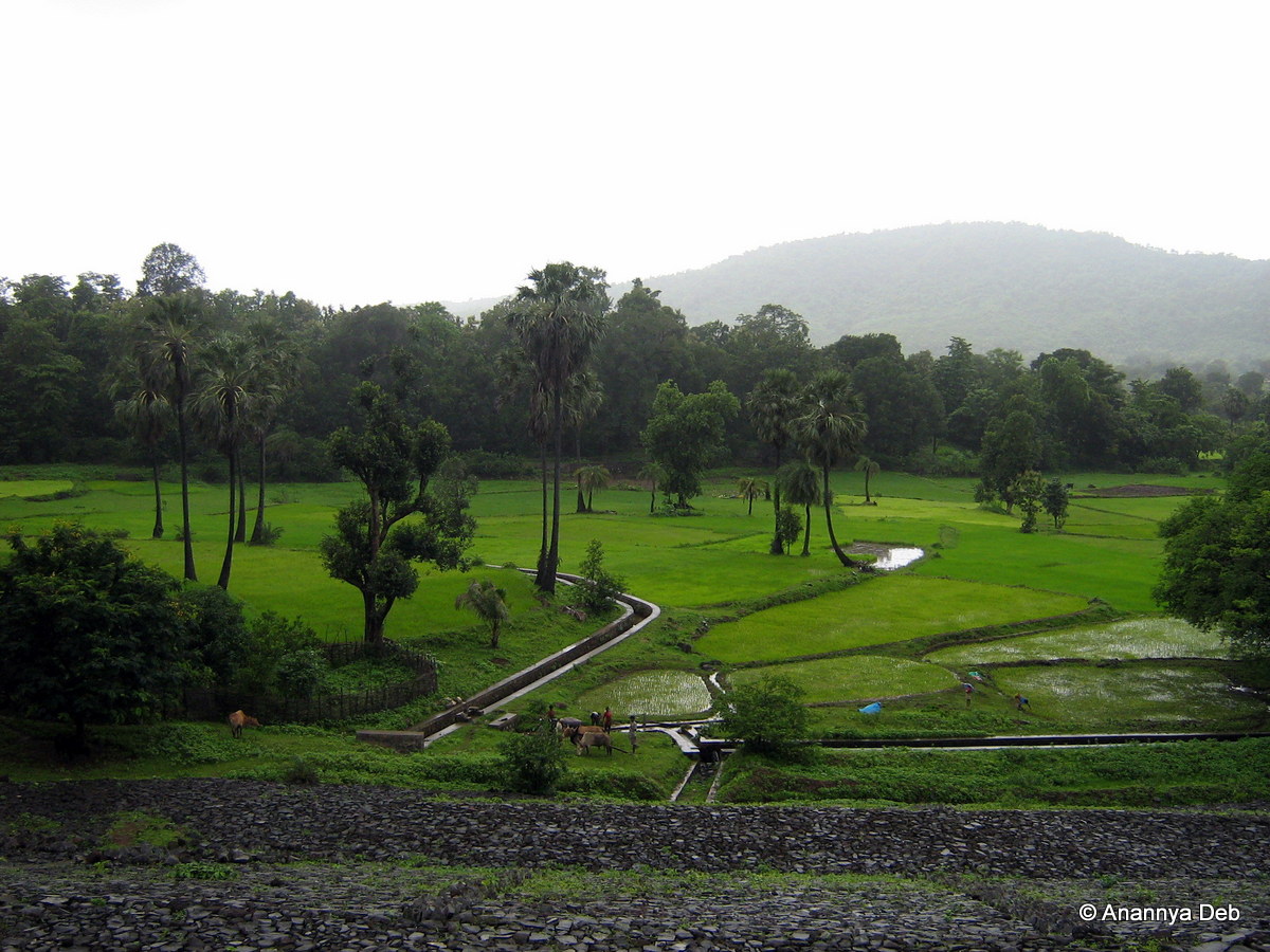
Bordi, August 2006

Bordi, August 2006

Bordi, August 2006

Bhilad by me
Topographic Map of Sutarpada, Maharashtra, India
Find elevation by address:

Places near Sutarpada, Maharashtra, India:
Velugam
Dadra And Nagar Haveli
Silvassa
Hirwa Van Garden
Amli Ind. Estate
Dadra
Dadra And Nagar Haveli
Ddutcps
Daman
Daman
Daman And Diu
Matgaon
Dolhari Bk.
Zp School Bahirampada, Vikramgadh, Palghar
Killa-pardi
Nandore
Bilimora
Neela Apartment
Ayodhya Nagar
Dhirubhai Wadi
Recent Searches:
- Elevation of Dog Leg Dr, Minden, NV, USA
- Elevation of Dog Leg Dr, Minden, NV, USA
- Elevation of Kambingan Sa Pansol Atbp., Purok 7 Pansol, Candaba, Pampanga, Philippines
- Elevation of Pinewood Dr, New Bern, NC, USA
- Elevation of Mountain View, CA, USA
- Elevation of Foligno, Province of Perugia, Italy
- Elevation of Blauwestad, Netherlands
- Elevation of Bella Terra Blvd, Estero, FL, USA
- Elevation of Estates Loop, Priest River, ID, USA
- Elevation of Woodland Oak Pl, Thousand Oaks, CA, USA