Elevation of Avery Rd, Carthage, NY, USA
Location: United States > New York > Jefferson County > Wilna > Carthage >
Longitude: -75.505796
Latitude: 44.0314539
Elevation: 277m / 909feet
Barometric Pressure: 98KPa
Elevation Map:
Satellite Map:
Related Photos:
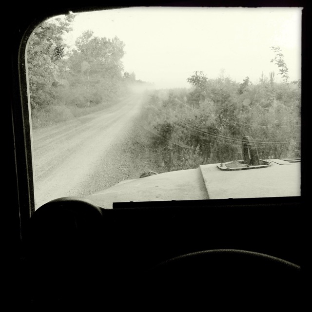
The view from my Humvee. #army

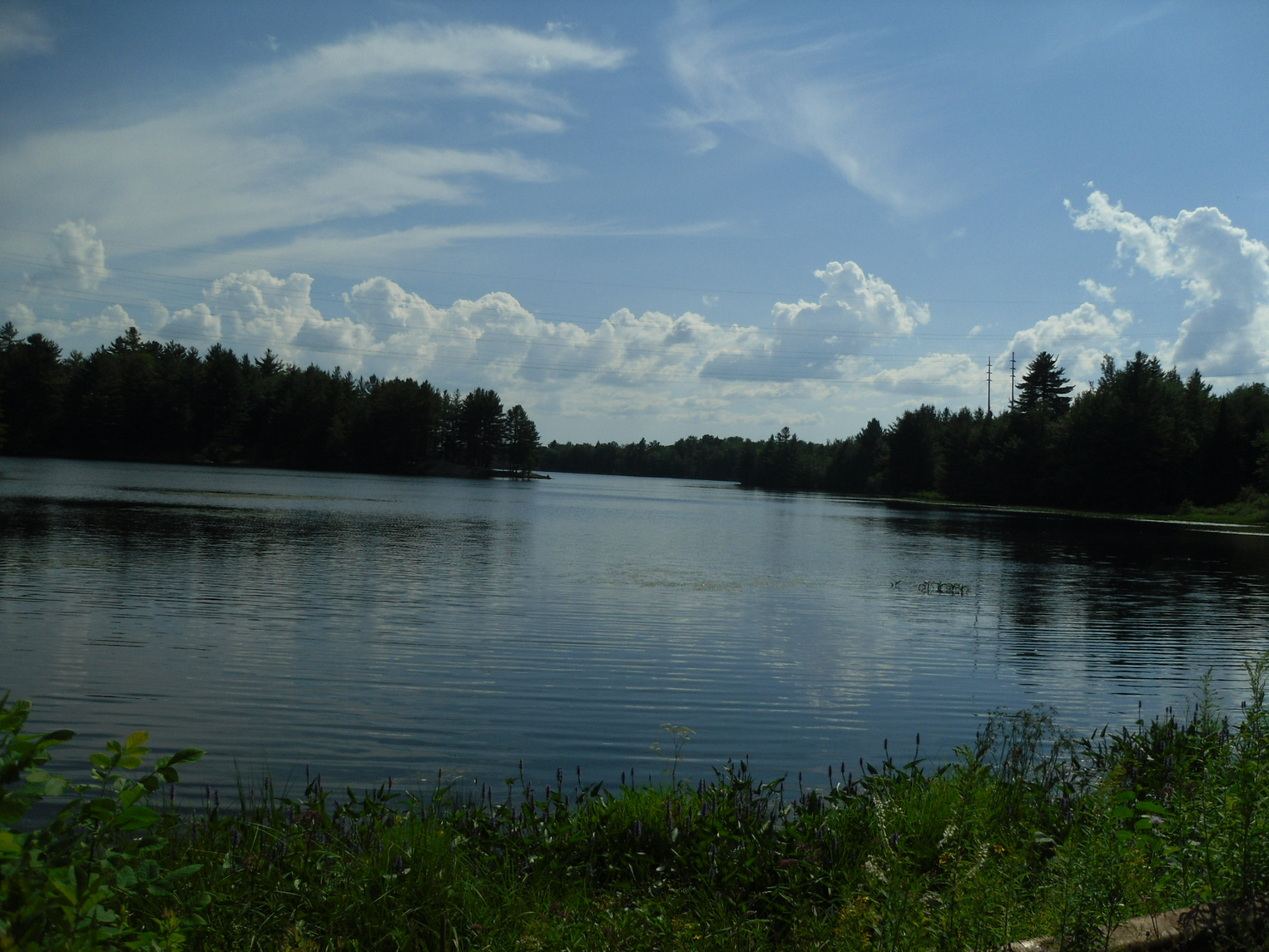
Jerden Falls Road
LakeBonaparte-20120719-02.jpg
Winter 2011
Winter 2011
Belfort, New York

Belfort, New York

Sunrise. #ftDrum #Army

Treats & 'Tiques ~ Natural Bridge, NY

David Art-55

David Art-19

Camera Roll-6651

Camera Roll-6650

Camera Roll-6649

Camera Roll-6152

CSX 5967 At Carthage, NY
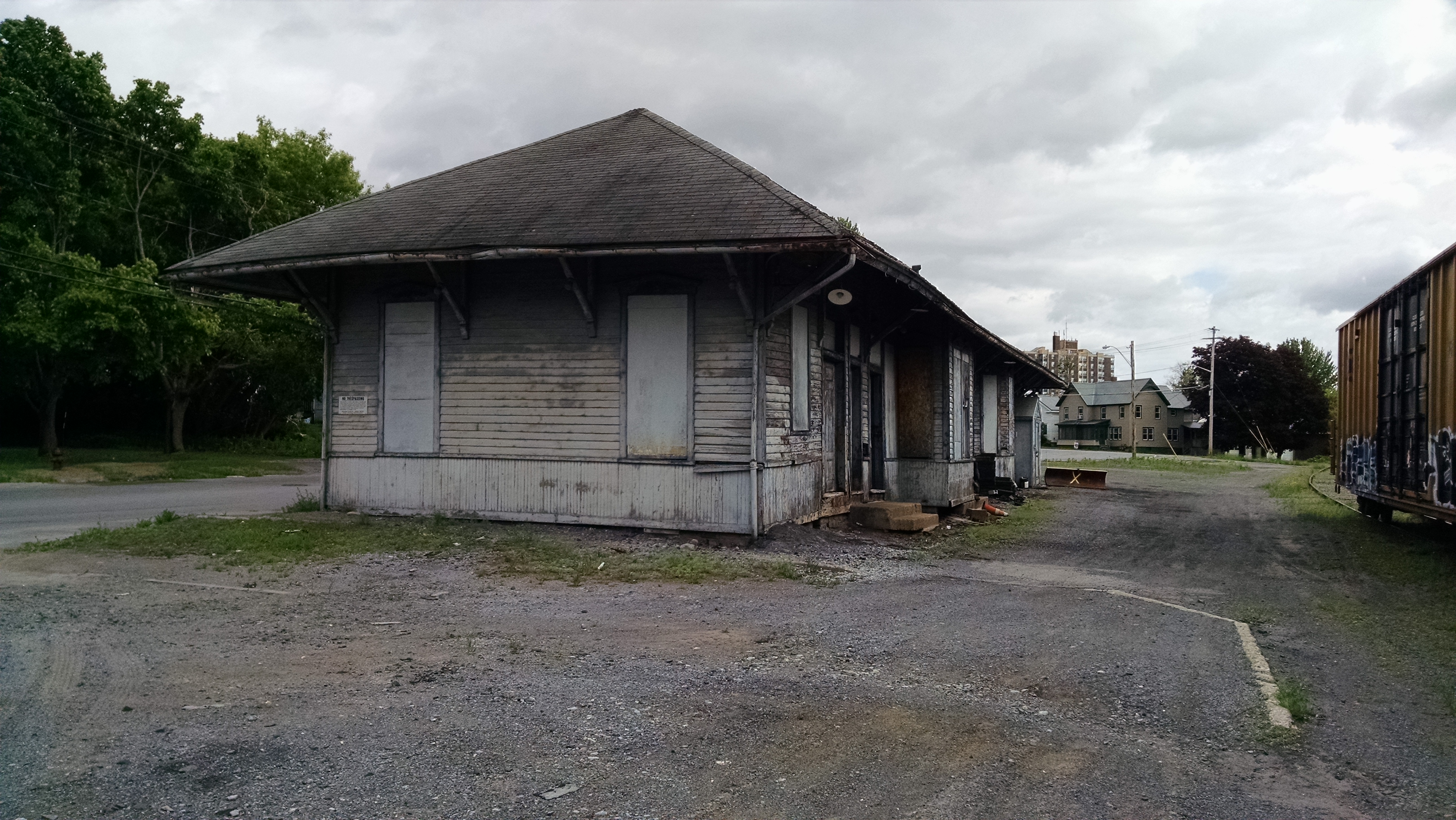
New York Central (R, W & O) Railroad Station, Carthage, NY
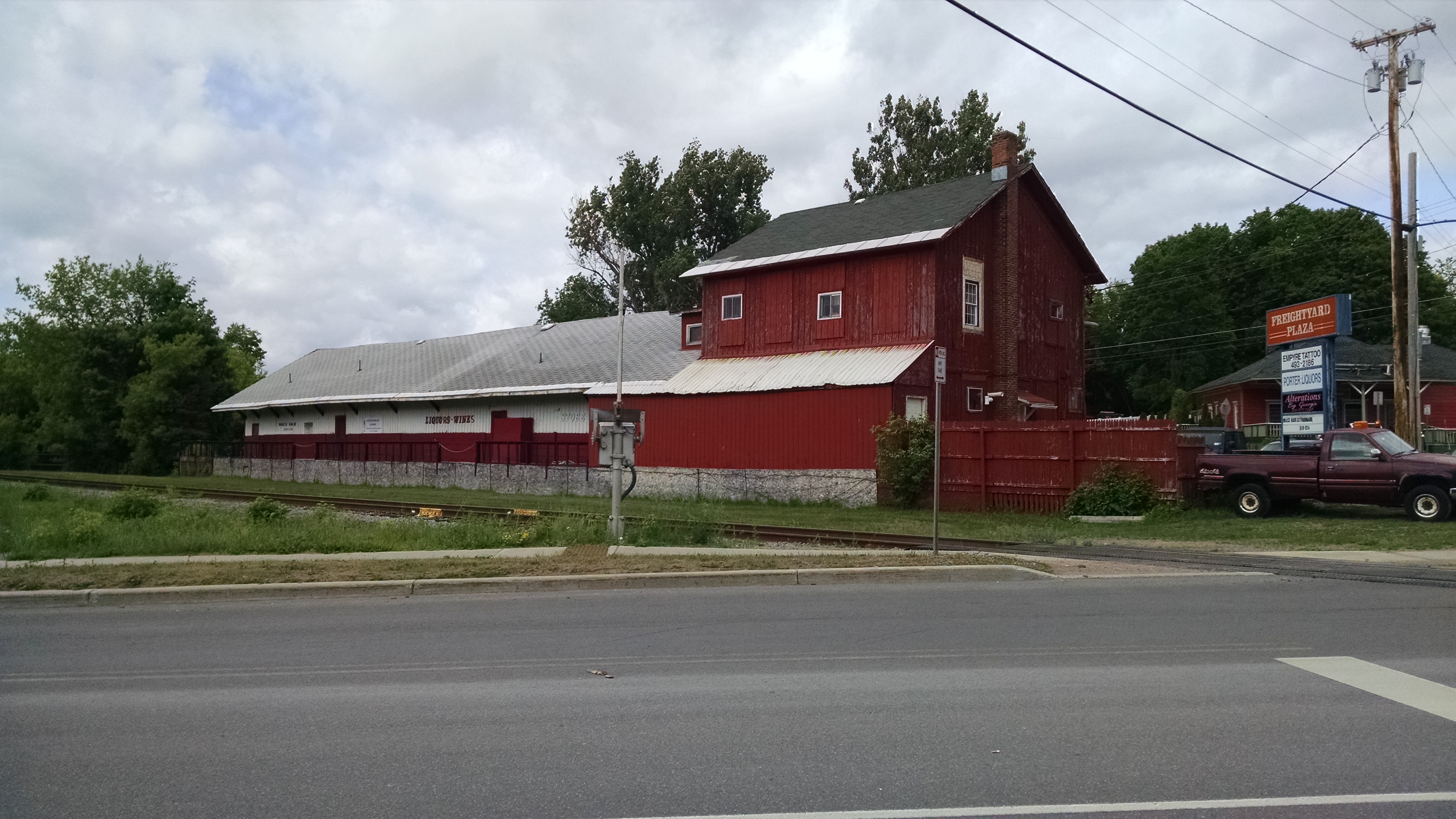
New York Central (R, W & O) Freight House, Carthage, NY

Looking South At Castorland, NY
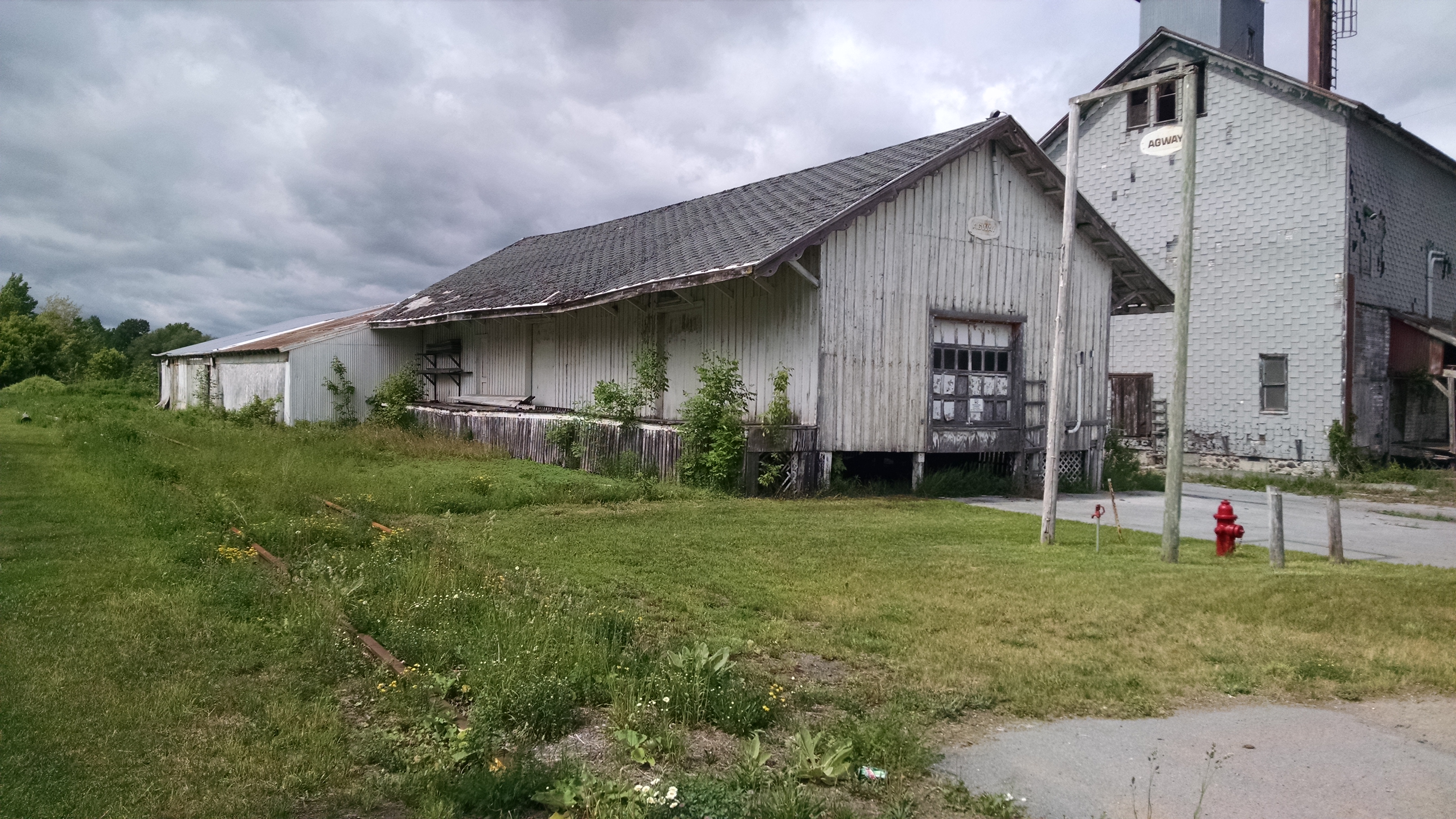
New York Central (R, W & O) Railroad Station, Castorland, NY
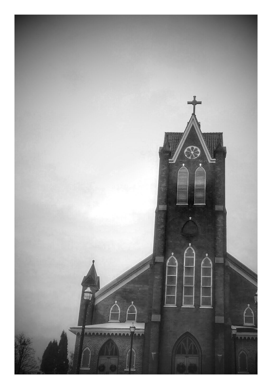
Church Architecture Architecture_bw

Promotion to SSG

Promotion to SSG

Promotion to SSG

PLDC Group Photo

Camera Roll-130

Camera Roll-141
Topographic Map of Avery Rd, Carthage, NY, USA
Find elevation by address:

Places near Avery Rd, Carthage, NY, USA:
North Croghan Road
Natural Bridge
5682 Old State Rd
Fargo
38907 Ny-3
Wilna
28 Norris Ave
Old State Rd, Castorland, NY, USA
470 S Clinton St
Elm Street
Carthage
301-305
588 West End Ave
West Carthage
710 West End Ave
875 West End Ave
13 Lathrop St
7 Potter St
10 N Broad St
Deer River
Recent Searches:
- Elevation of Corso Fratelli Cairoli, 35, Macerata MC, Italy
- Elevation of Tallevast Rd, Sarasota, FL, USA
- Elevation of 4th St E, Sonoma, CA, USA
- Elevation of Black Hollow Rd, Pennsdale, PA, USA
- Elevation of Oakland Ave, Williamsport, PA, USA
- Elevation of Pedrógão Grande, Portugal
- Elevation of Klee Dr, Martinsburg, WV, USA
- Elevation of Via Roma, Pieranica CR, Italy
- Elevation of Tavkvetili Mountain, Georgia
- Elevation of Hartfords Bluff Cir, Mt Pleasant, SC, USA