Elevation of Old State Rd, Castorland, NY, USA
Location: United States > New York > Lewis County > Croghan >
Longitude: -75.43768
Latitude: 43.951536
Elevation: 283m / 928feet
Barometric Pressure: 98KPa
Elevation Map:
Satellite Map:
Related Photos:

Count 'Em -- There Are One Hundred Eighty Six (186)!

Jerden Falls Road
Winter 2011
Winter 2011
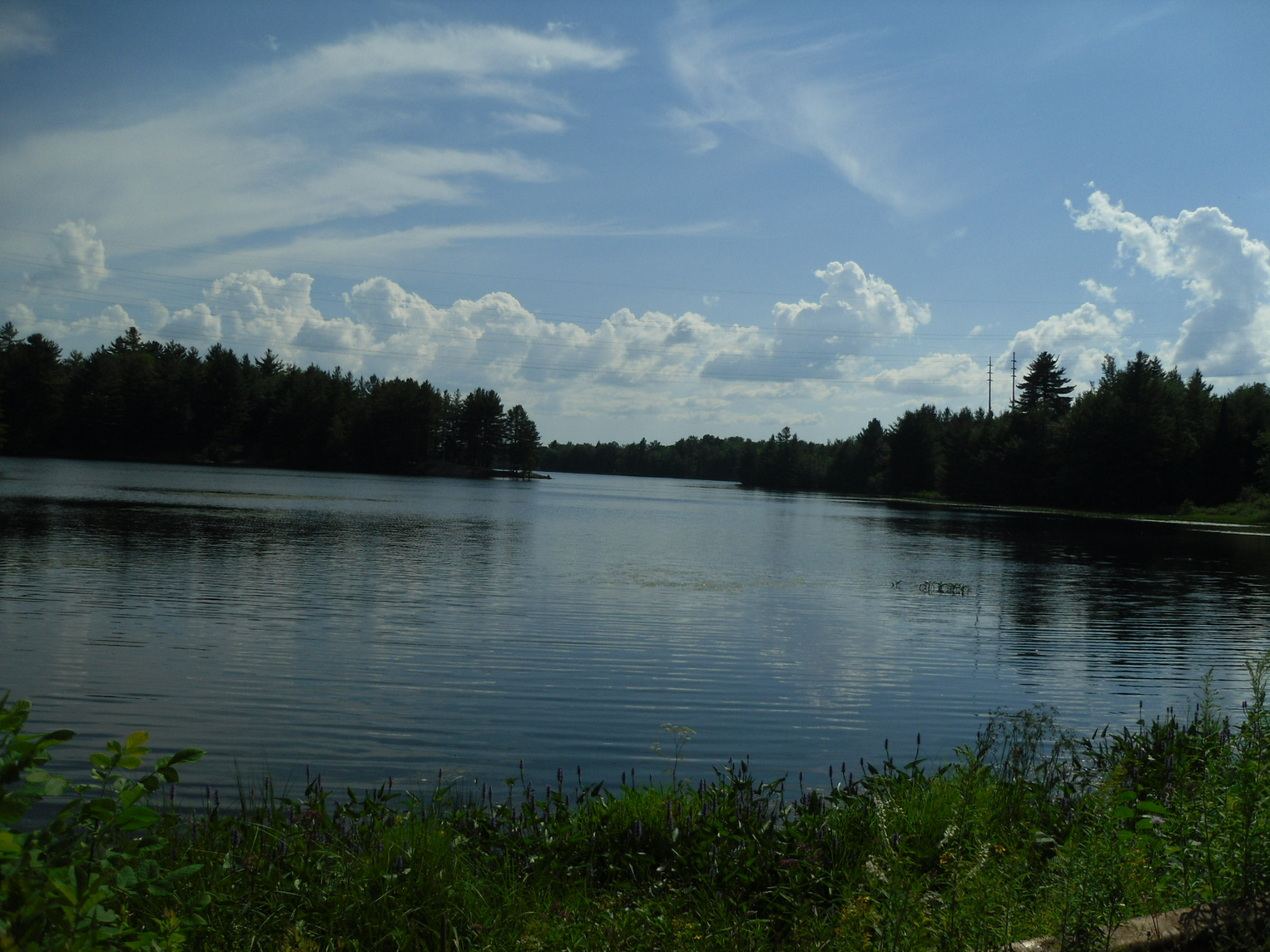
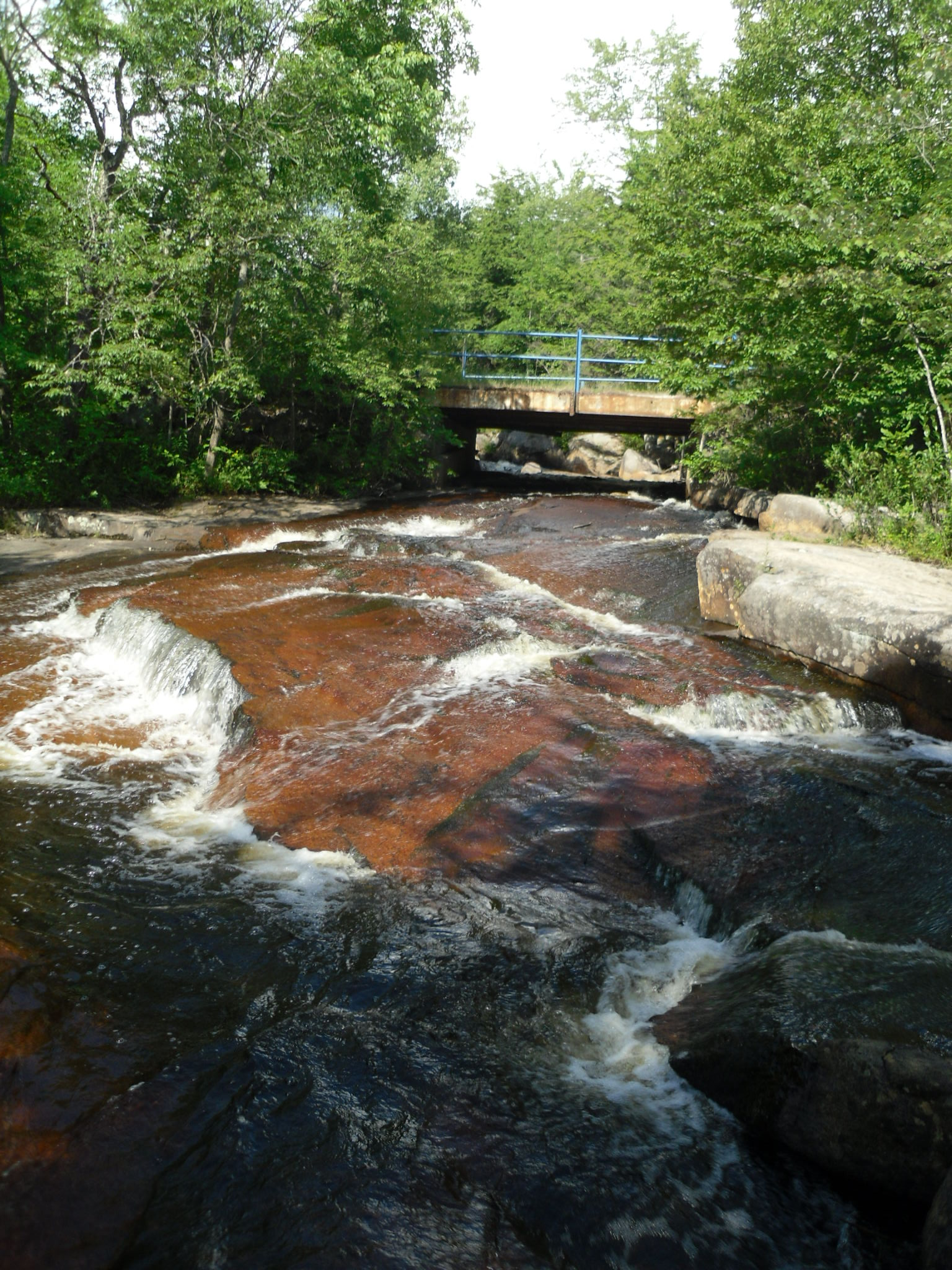
Belfort, New York
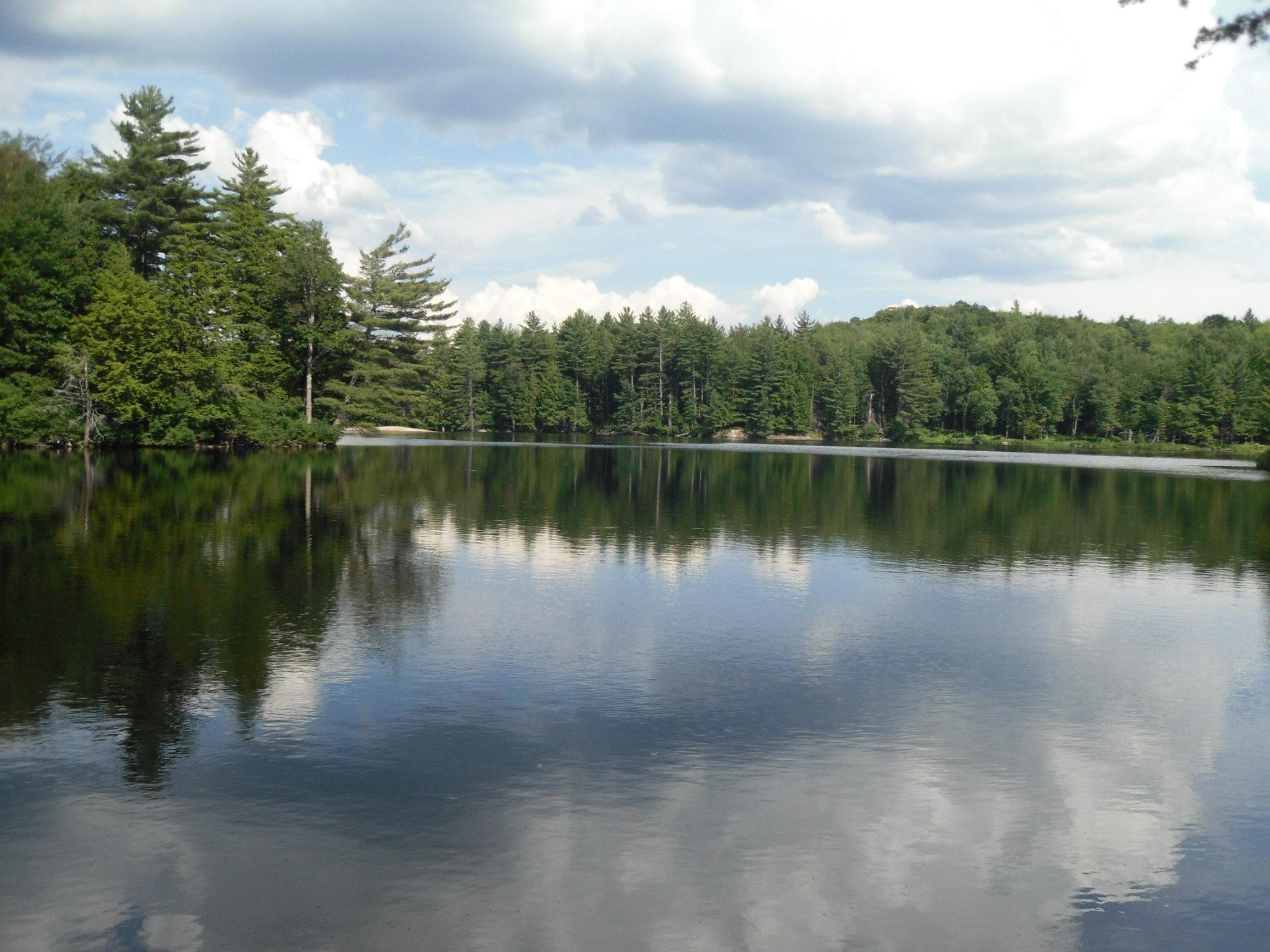
Belfort, New York
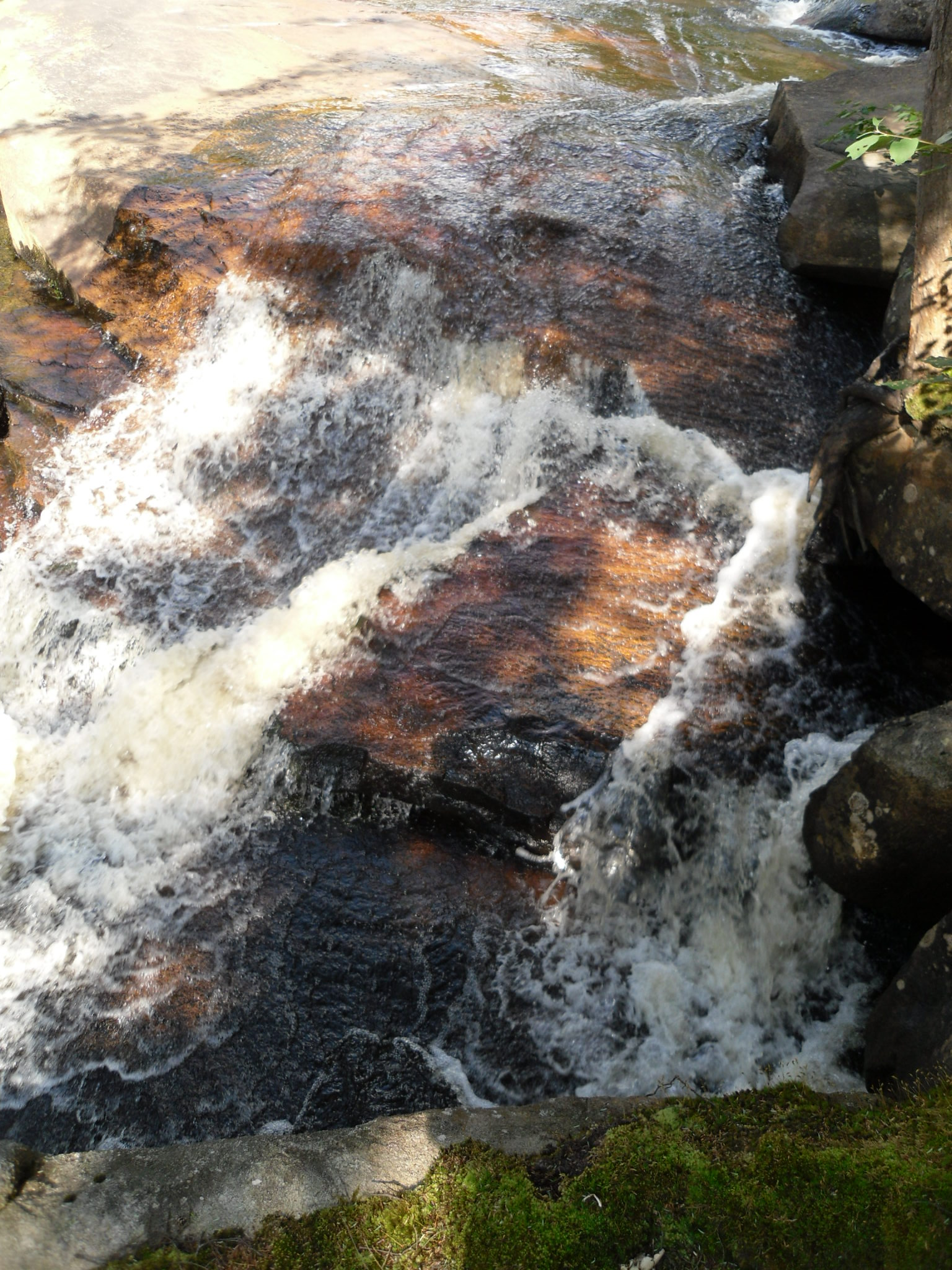
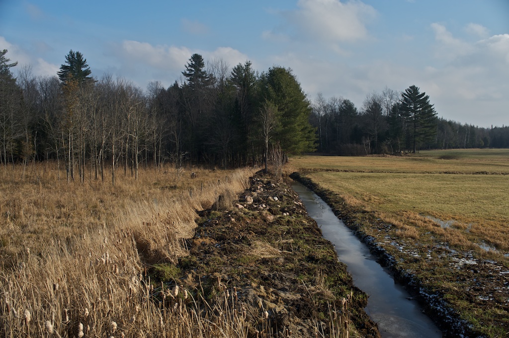
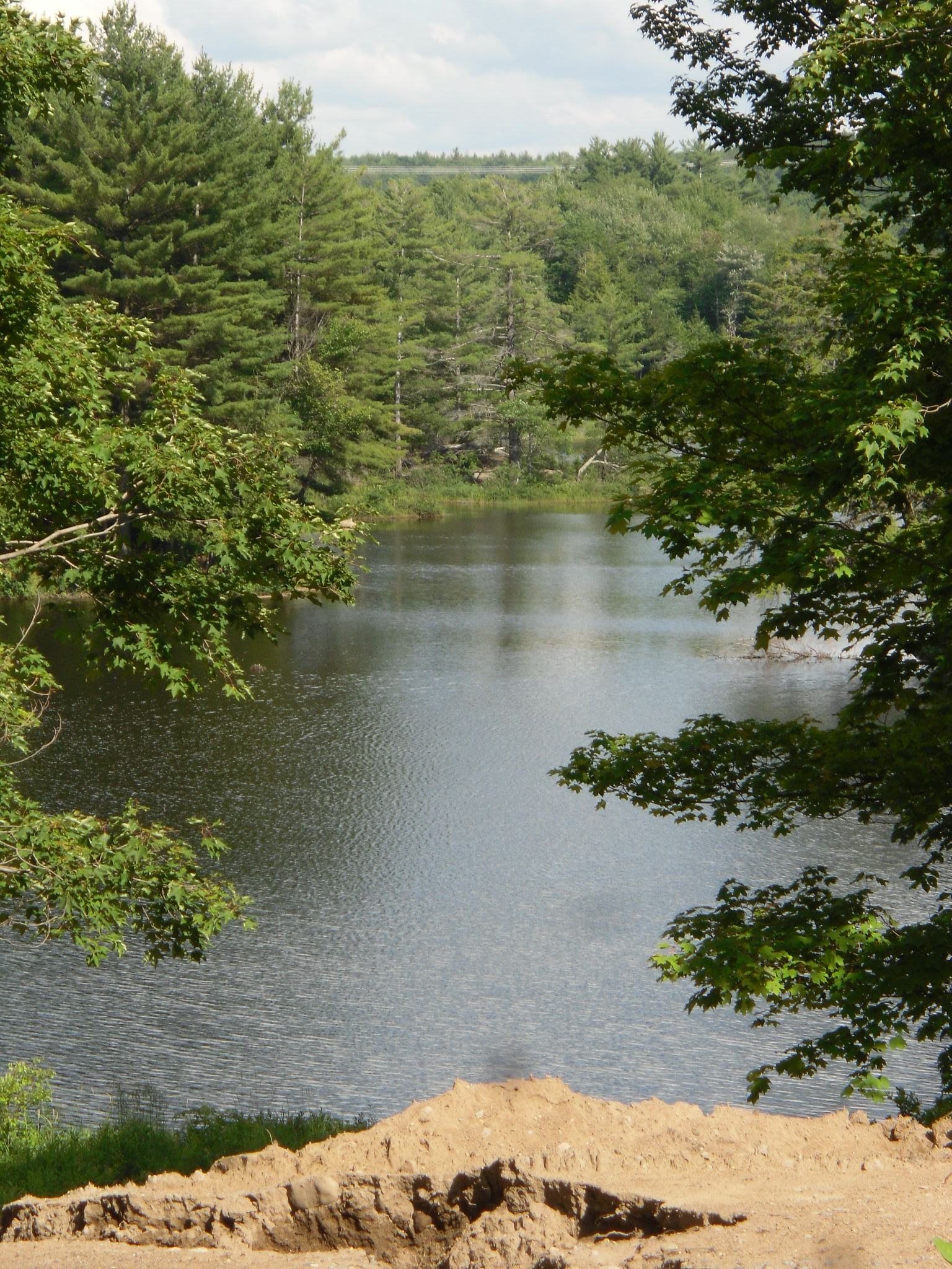
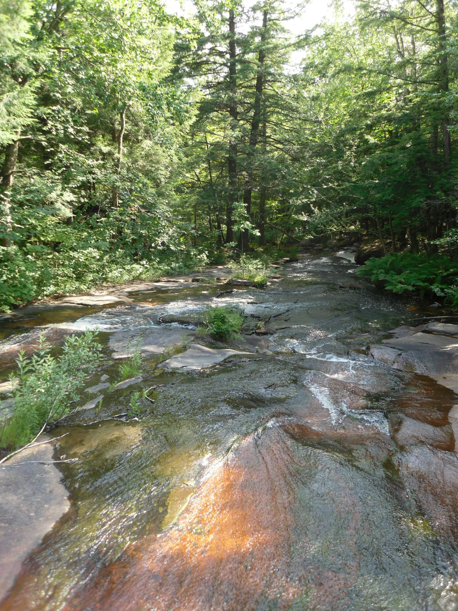
Lewis County, New York
Lewis County, New York
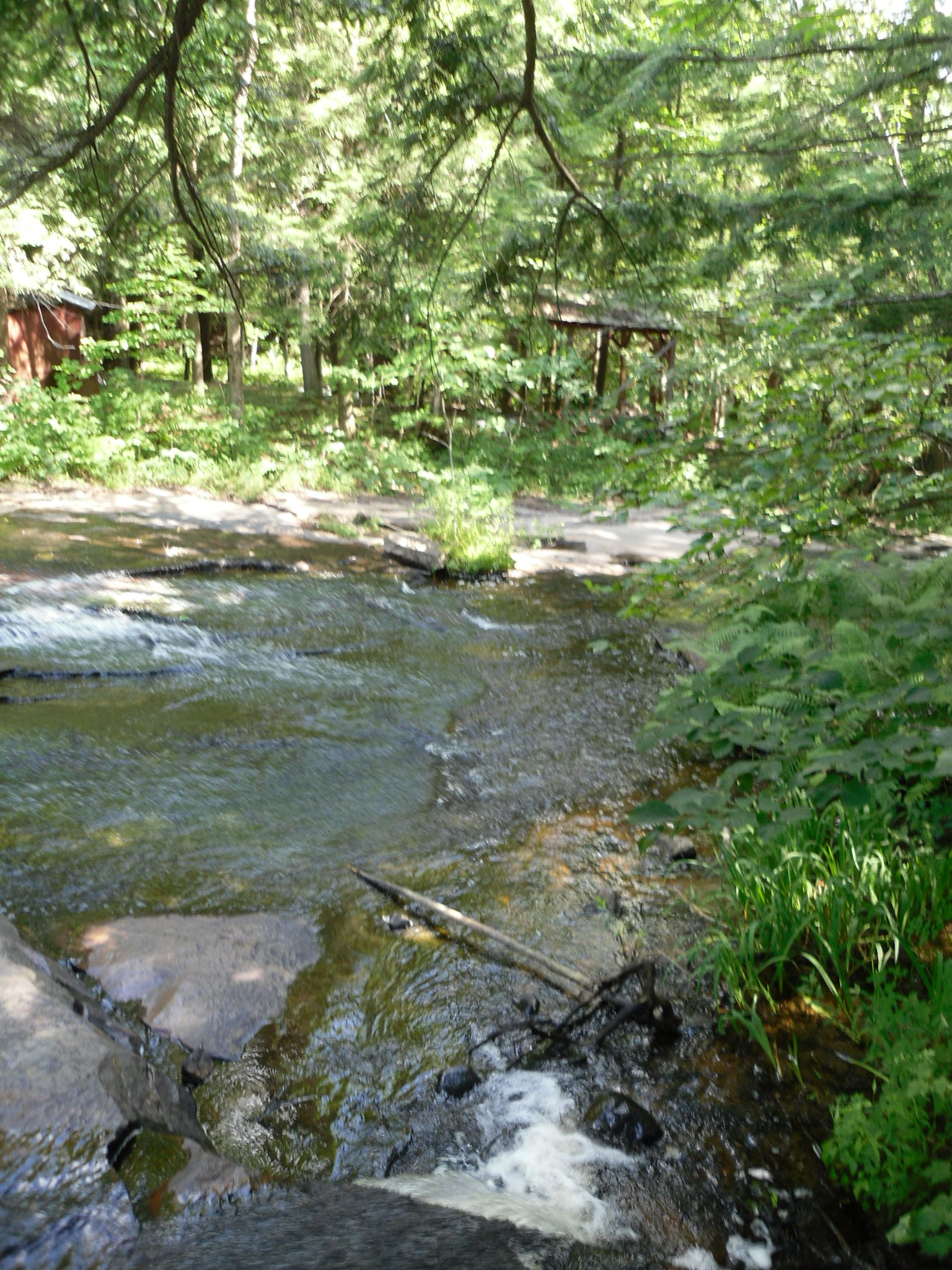
Belfort, New York
Belfort, New York

Belfort, New York

Belfort, New York

Belfort, New York
Belfort, New York
Good morning campers.
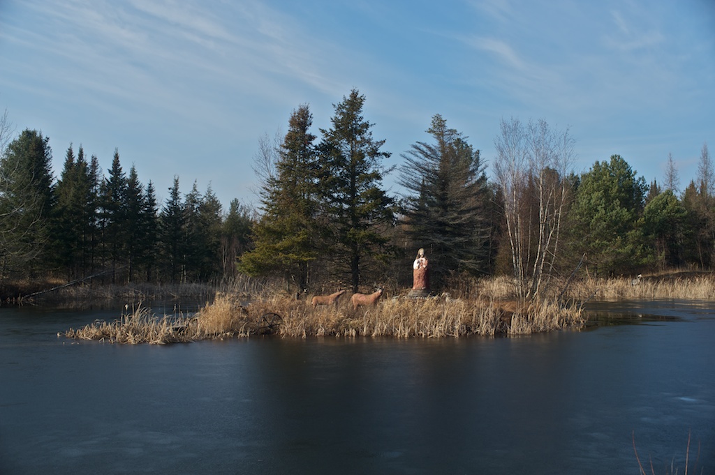
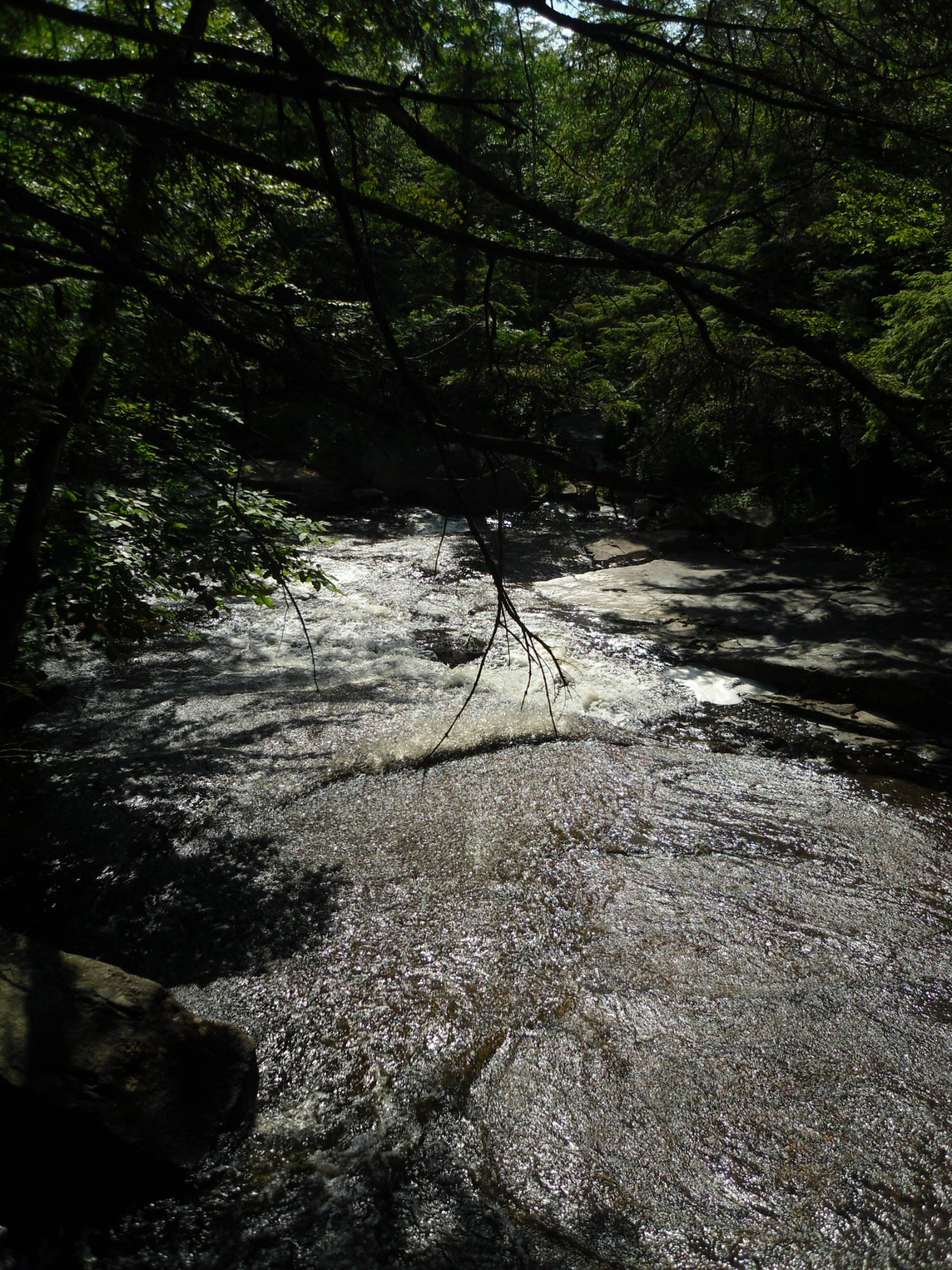
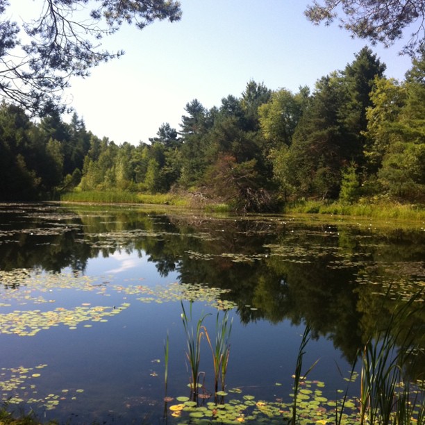
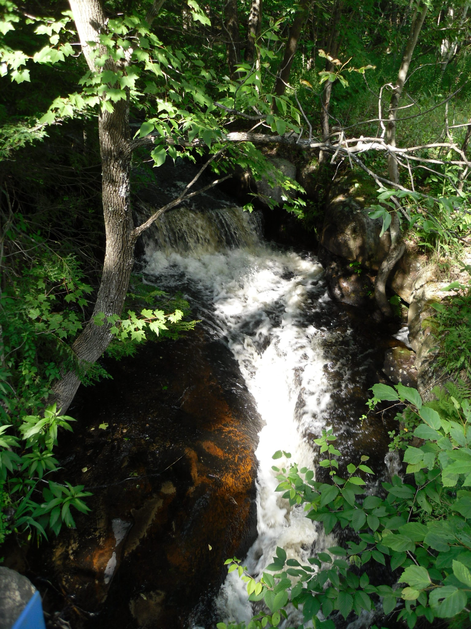
Lewis County, New York
Lewis County, New York
Lewis County, New York
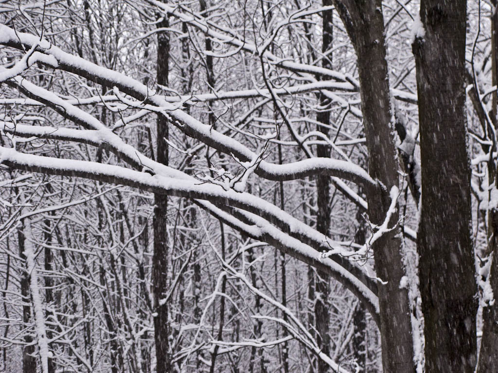
Snow covered tree branches
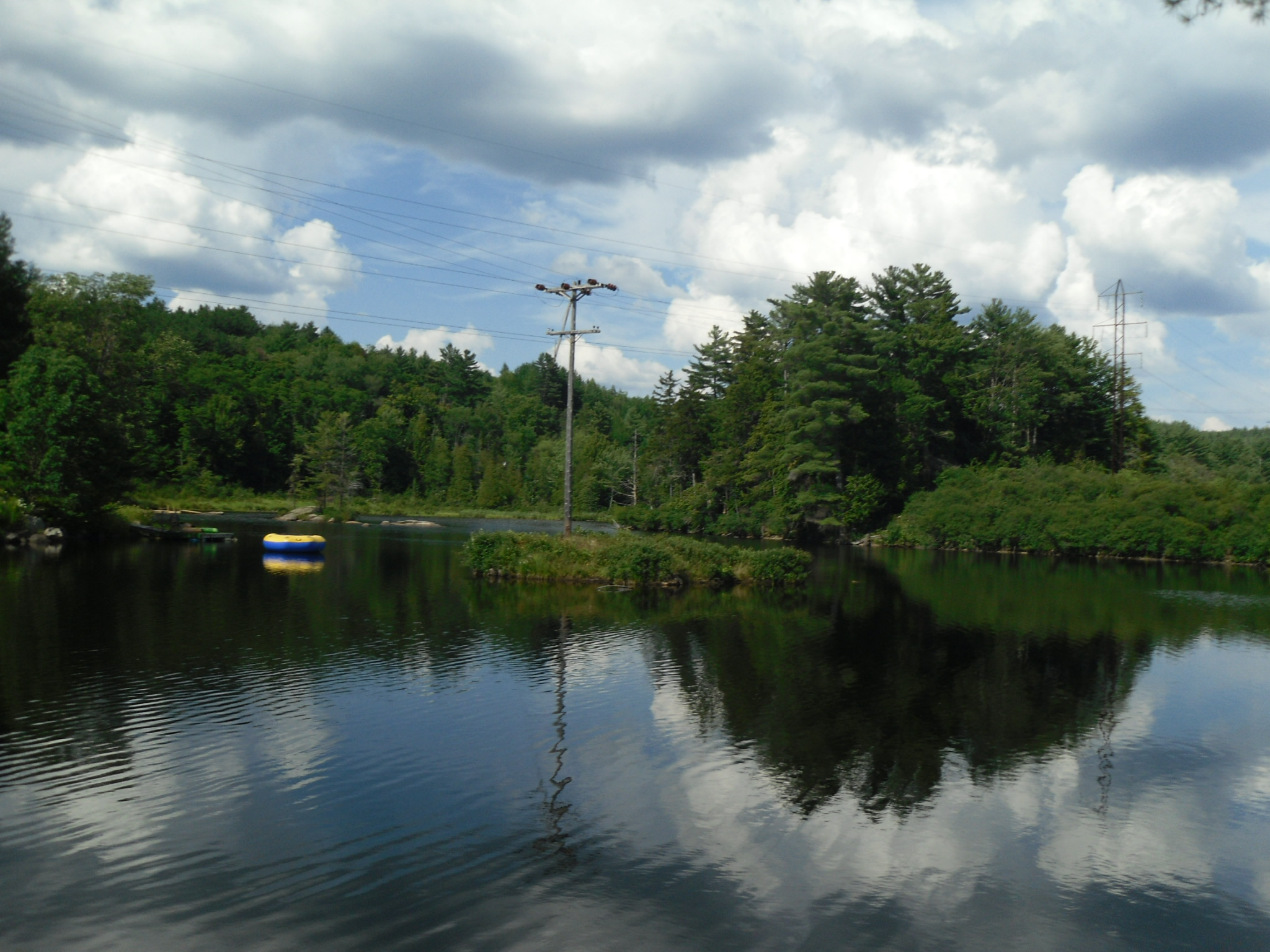
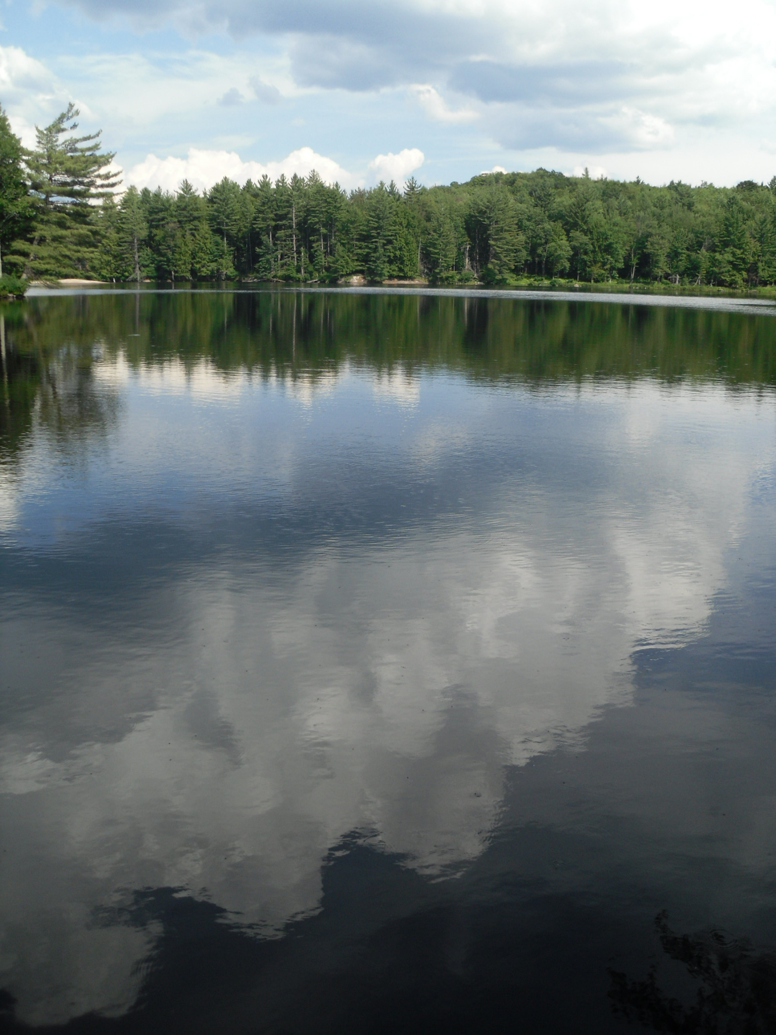
Lewis County, New York
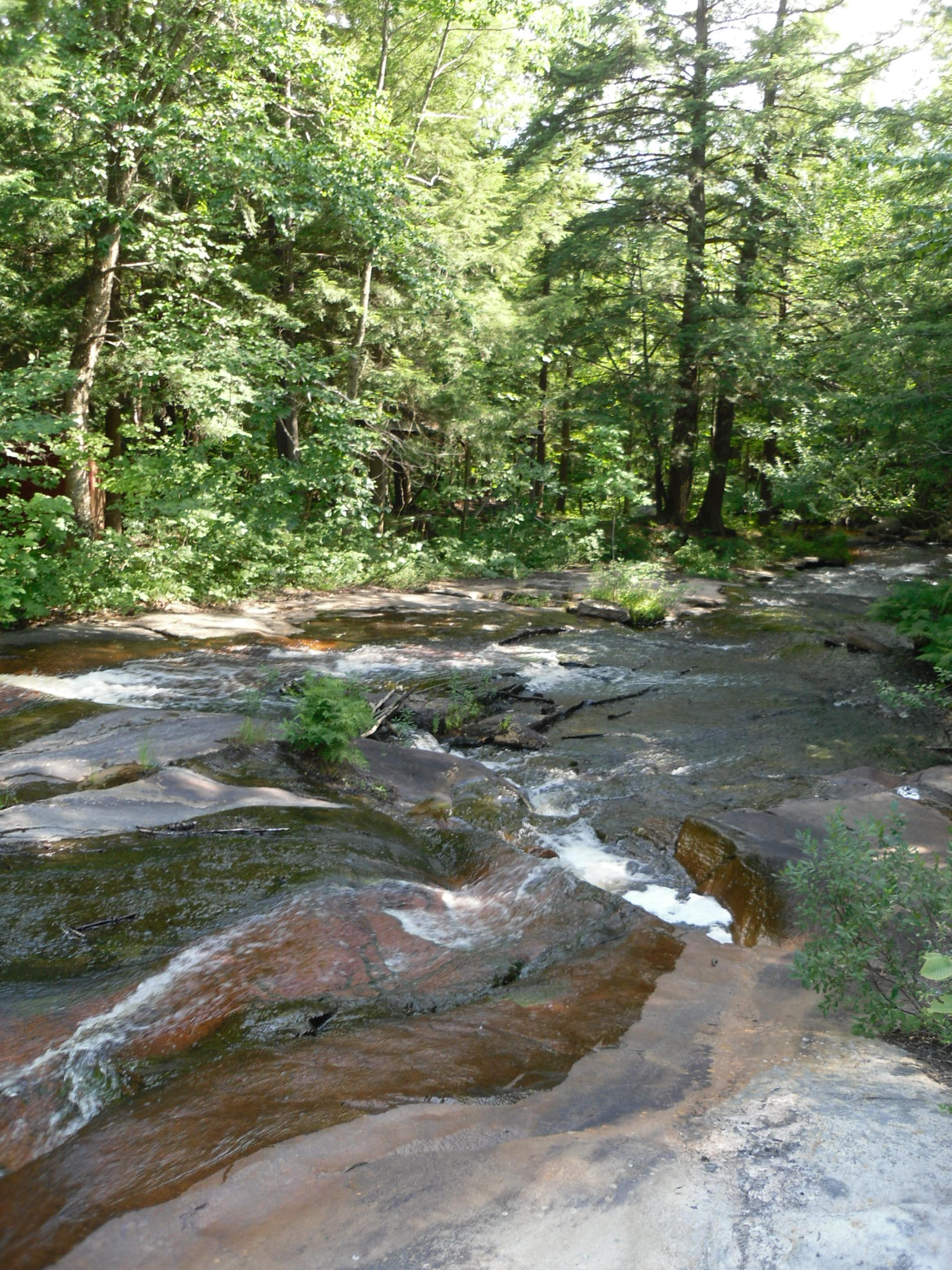
Lewis County, New York
Topographic Map of Old State Rd, Castorland, NY, USA
Find elevation by address:

Places near Old State Rd, Castorland, NY, USA:
Croghan
9606 Main St
Main St, Croghan, NY, USA
Croghan
6909 Shady Ave
Castorland
5019 Ny-410
Avery Rd, Carthage, NY, USA
12320 Tannery Ln
Karcher Country Estates
Lewis County
8392 Ny-812
New Bremen
North Croghan Road
Dutton Rd, Croghan, NY, USA
New Bremen
5682 Old State Rd
Natural Bridge
East Road
7181 Beech Hill Rd
Recent Searches:
- Elevation of Corso Fratelli Cairoli, 35, Macerata MC, Italy
- Elevation of Tallevast Rd, Sarasota, FL, USA
- Elevation of 4th St E, Sonoma, CA, USA
- Elevation of Black Hollow Rd, Pennsdale, PA, USA
- Elevation of Oakland Ave, Williamsport, PA, USA
- Elevation of Pedrógão Grande, Portugal
- Elevation of Klee Dr, Martinsburg, WV, USA
- Elevation of Via Roma, Pieranica CR, Italy
- Elevation of Tavkvetili Mountain, Georgia
- Elevation of Hartfords Bluff Cir, Mt Pleasant, SC, USA