Elevation of - State St, Carthage, NY, USA
Location: United States > New York > Jefferson County > Wilna >
Longitude: -75.609584
Latitude: 43.978191
Elevation: 234m / 768feet
Barometric Pressure: 99KPa
Elevation Map:
Satellite Map:
Related Photos:
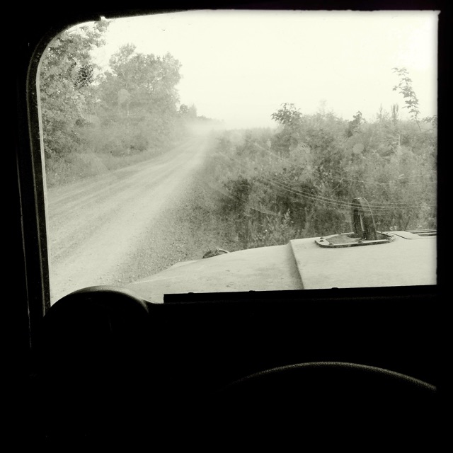
The view from my Humvee. #army

Count 'Em -- There Are One Hundred Eighty Six (186)!

Road Trip USA
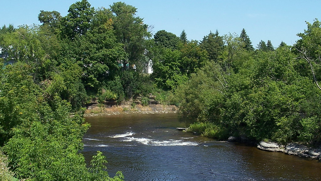
ny08h09 Copenhagen, New York, River 2008

BUNK Rafting 05

CSX 5967 At Carthage, NY
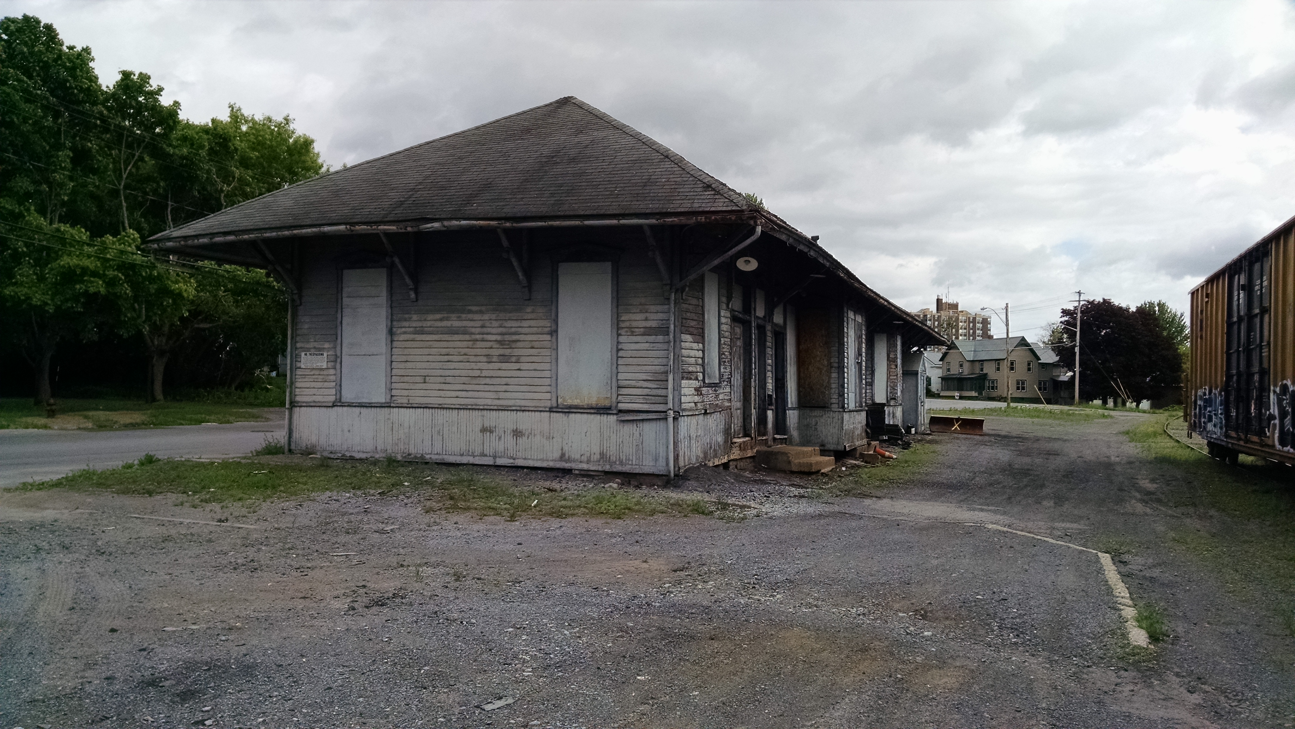
New York Central (R, W & O) Railroad Station, Carthage, NY
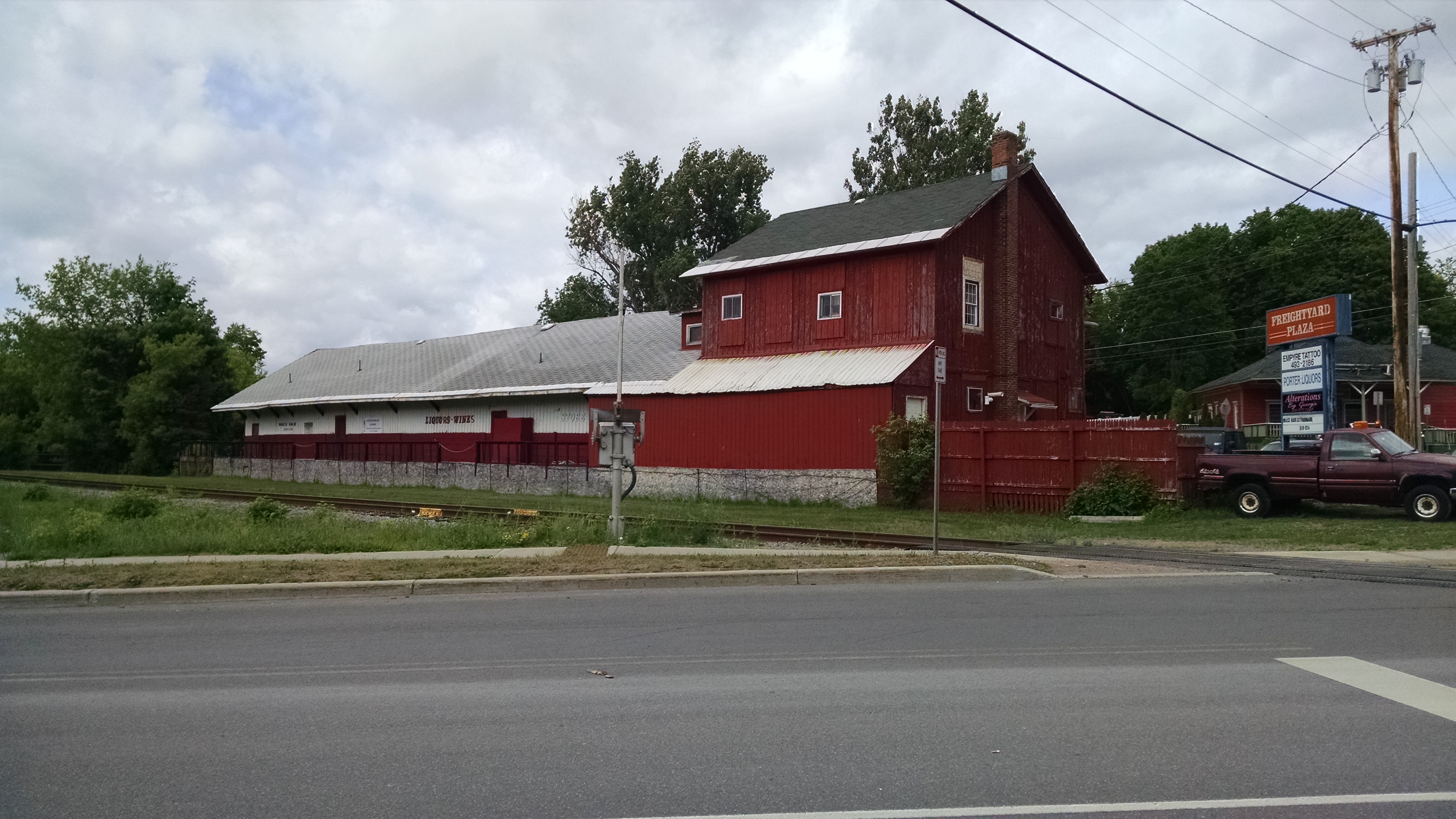
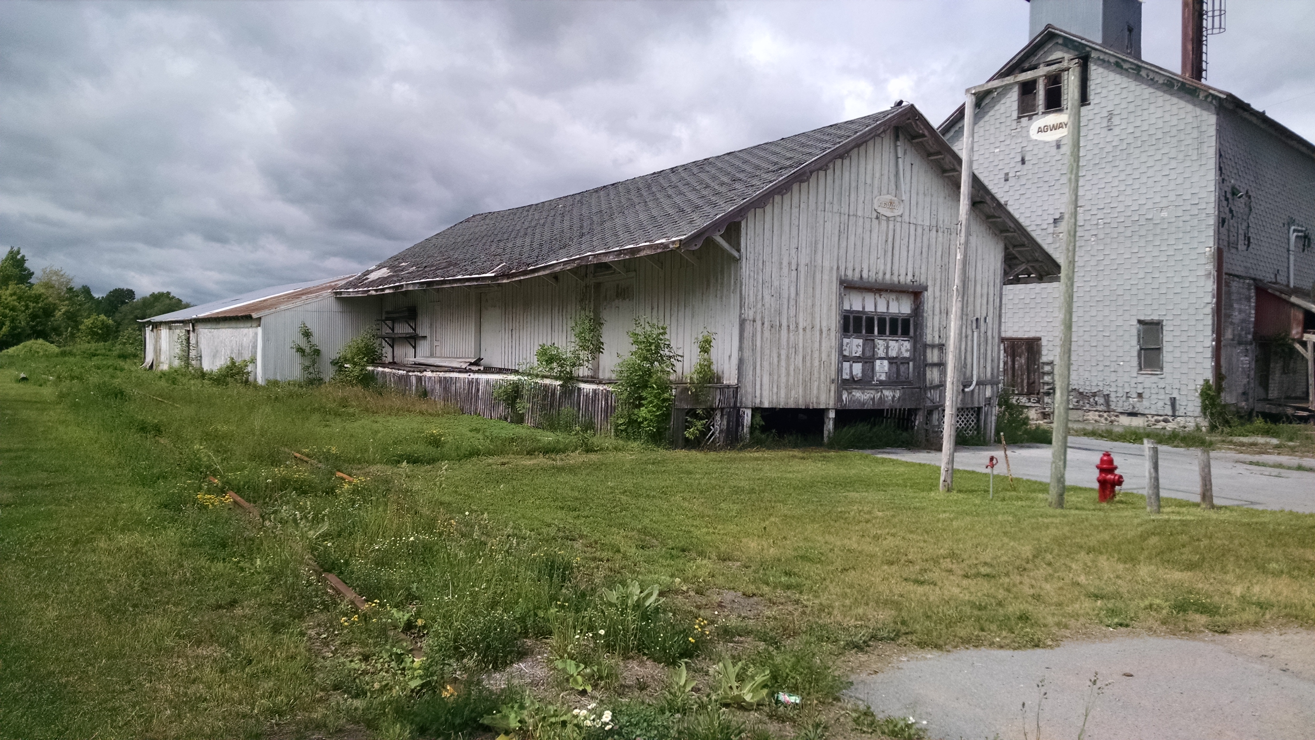
New York Central (R, W & O) Freight House, Carthage, NY

Looking South At Castorland, NY

150516-Z-MG742-001
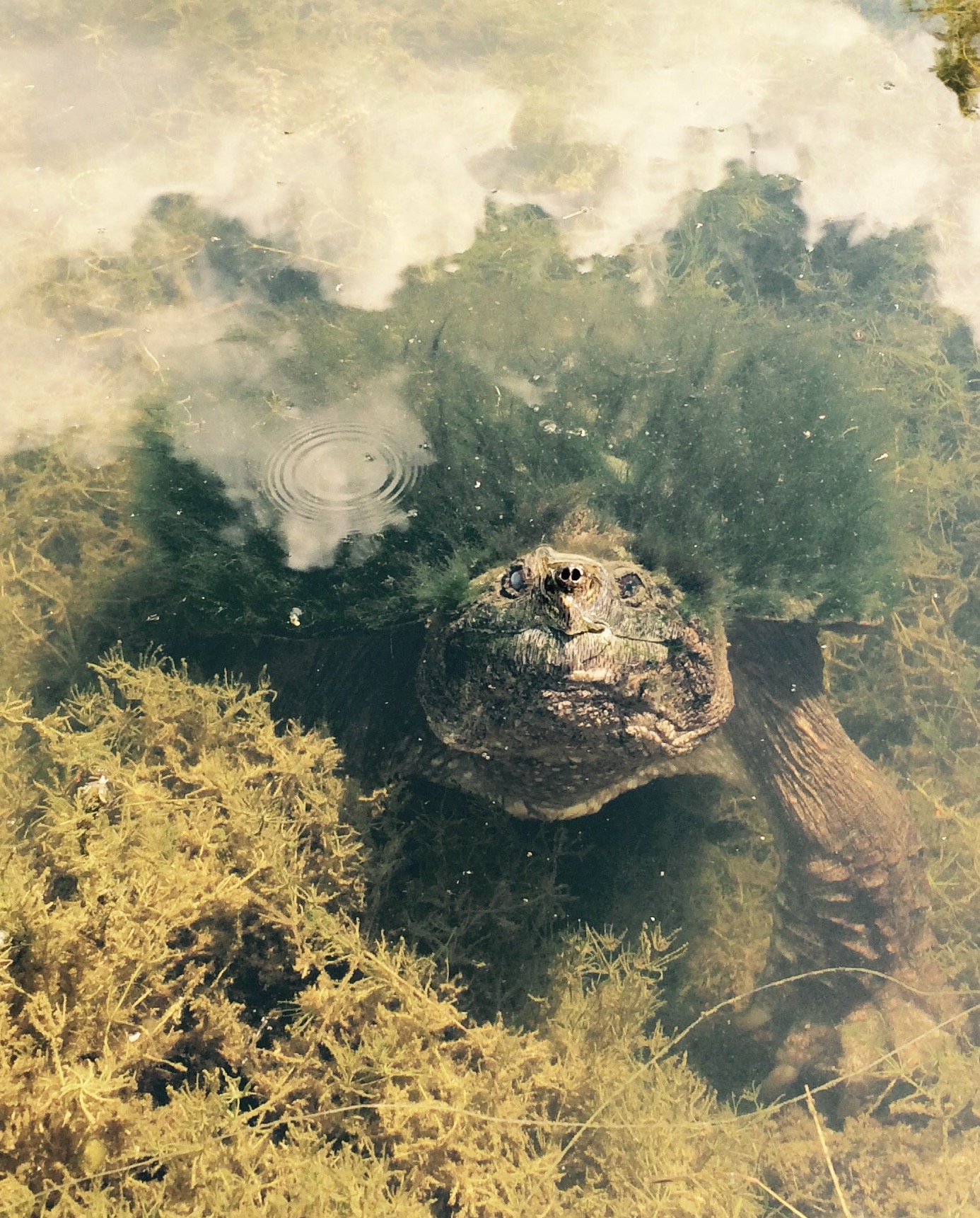
Snapping turtle
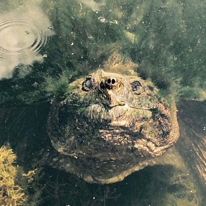
Snapping turtle
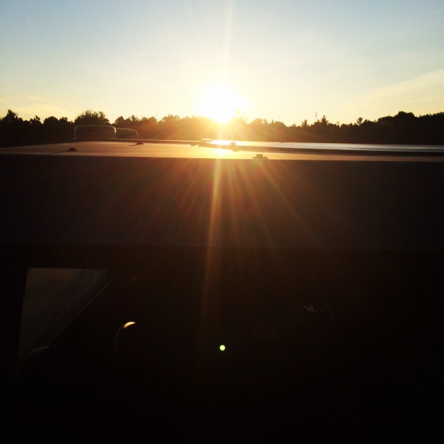
Sunrise. #ftDrum #Army
New York Central (R, W & O) Railroad Station, Castorland, NY
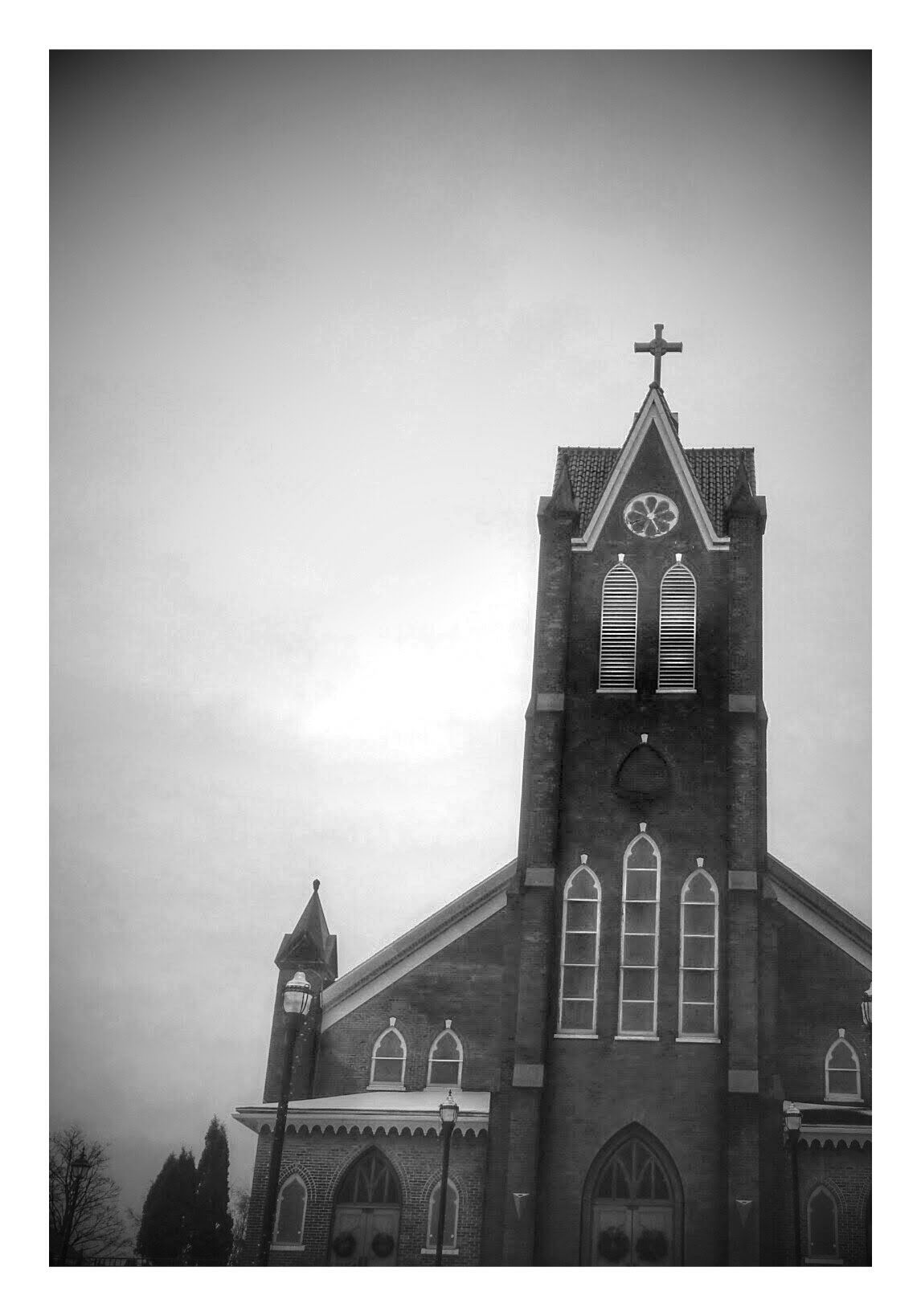
Church Architecture Architecture_bw

Camera Roll-130

Camera Roll-141

Camera Roll-140

Camera Roll-139

Camera Roll-138

Camera Roll-137

Camera Roll-136

Camera Roll-135

Camera Roll-134

Camera Roll-1146
Topographic Map of - State St, Carthage, NY, USA
Find elevation by address:

Places near - State St, Carthage, NY, USA:
Carthage
Elm Street
West Carthage
588 West End Ave
470 S Clinton St
710 West End Ave
13 Lathrop St
7 Potter St
10 N Broad St
875 West End Ave
28 Norris Ave
38907 Ny-3
Herrings, NY, USA
Herrings
NY-3, Carthage, NY, USA
34418 Ny-126
23281 Mosher Rd
Champion
Wilna
28 Wilna Ave, Carthage, NY, USA
Recent Searches:
- Elevation of Corso Fratelli Cairoli, 35, Macerata MC, Italy
- Elevation of Tallevast Rd, Sarasota, FL, USA
- Elevation of 4th St E, Sonoma, CA, USA
- Elevation of Black Hollow Rd, Pennsdale, PA, USA
- Elevation of Oakland Ave, Williamsport, PA, USA
- Elevation of Pedrógão Grande, Portugal
- Elevation of Klee Dr, Martinsburg, WV, USA
- Elevation of Via Roma, Pieranica CR, Italy
- Elevation of Tavkvetili Mountain, Georgia
- Elevation of Hartfords Bluff Cir, Mt Pleasant, SC, USA