Elevation of Ave, Tulare, CA, USA
Location: United States > California > Tulare County > Tulare >
Longitude: -119.42060
Latitude: 36.182011
Elevation: 78m / 256feet
Barometric Pressure: 100KPa
Elevation Map:
Satellite Map:
Related Photos:

boeing b-17g flying fortress

boeing b-17g flying fortress

7D2_8624 crop COKI-eBird.org bottom_545x812

7D2_8625 crop COKI-eBird.org bottom_922x623

7D2_8628 crop COKI-eBird.org bottom_741x488

7D2_8632 crop COKI-eBird.org bottom_709x480
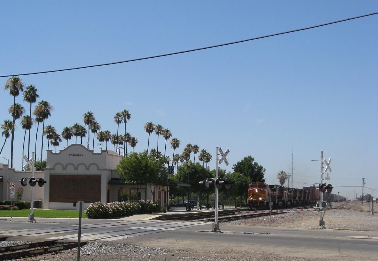
Corcoran, CA 1292a

7D2_8219 crop COKI-eBird.org bottom_2200x1474

A View of U.P.R.R. Private Crossing at Tipton

7D2_8230 crop GRSC-eBird.org bottom_844x551

7D2_8630 crop COKI-eBird.org bottom_733x489
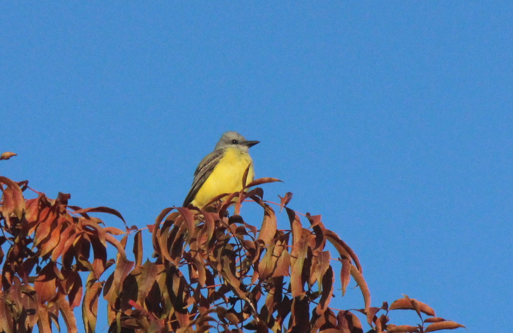
Couch's Kingbird
My view when I arrived at work this morning. #sunrise #morning #vivid #nikond3200 #nikkor35mmf18 #abc30insider

A View of Orange Avenue Crossing in Corcoran

A View of the Sherman Avenue Railroad Crossing

A View of Sherman Avenue Railroad Crossing
Corcoran, CA 1290a

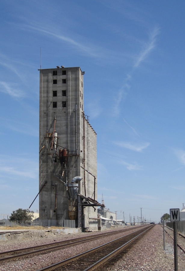
Side View

A View of Former Exit 84 Business California 99 K Street

A Closer view of Downtown Corcoran
Corcoran, CA 1295a
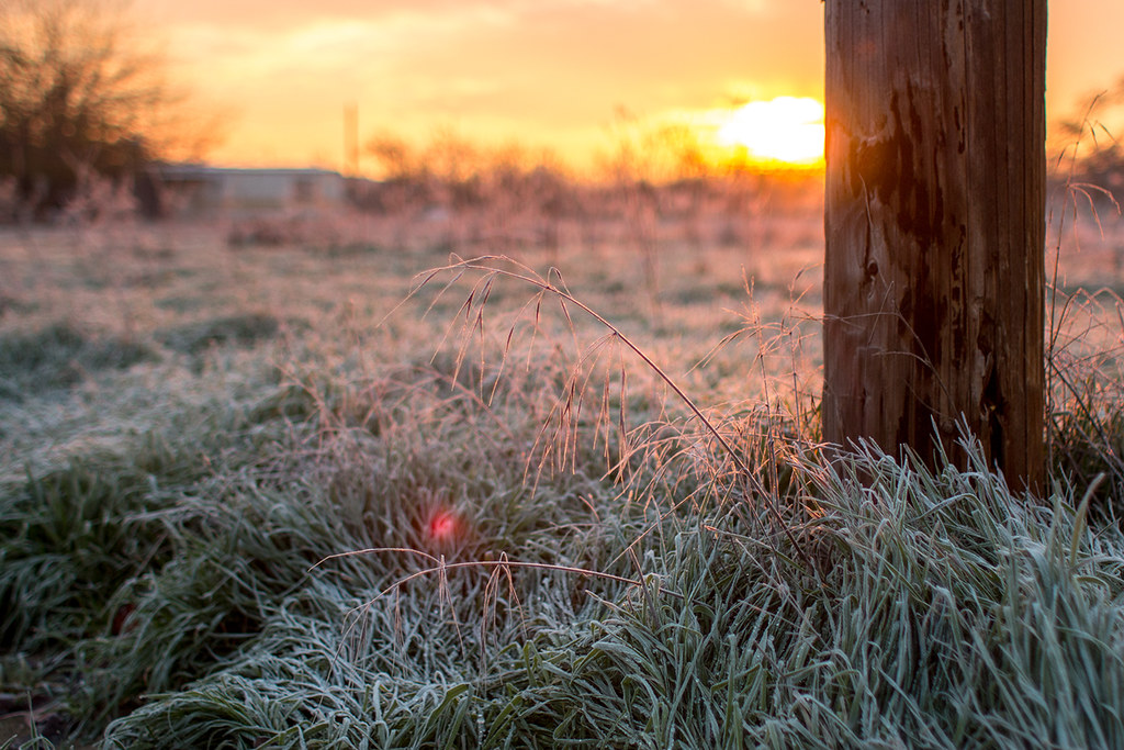
Frosty Morning
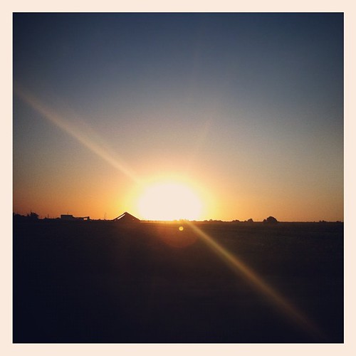
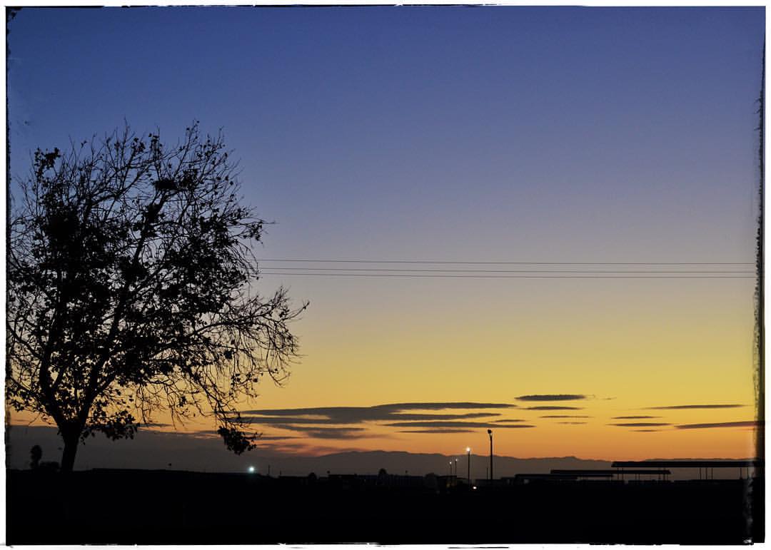
Sunset in Central California
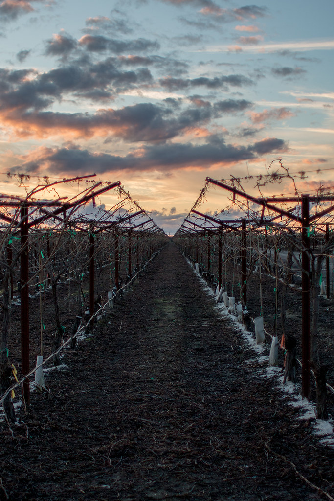
Edge of the Vineyard

Westbound BNSF DPU
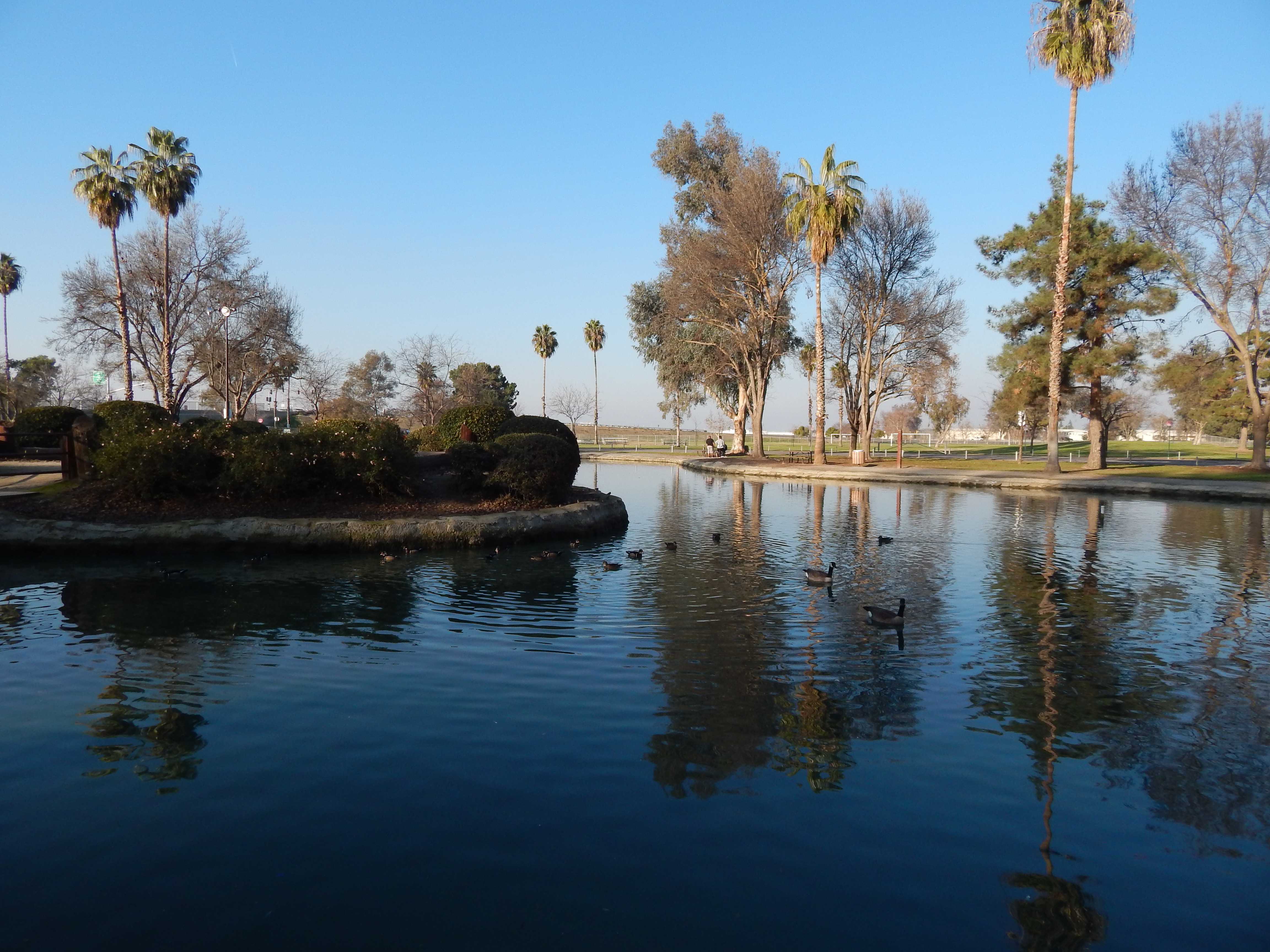
Plaza Park, Visalia

BNSF 4058
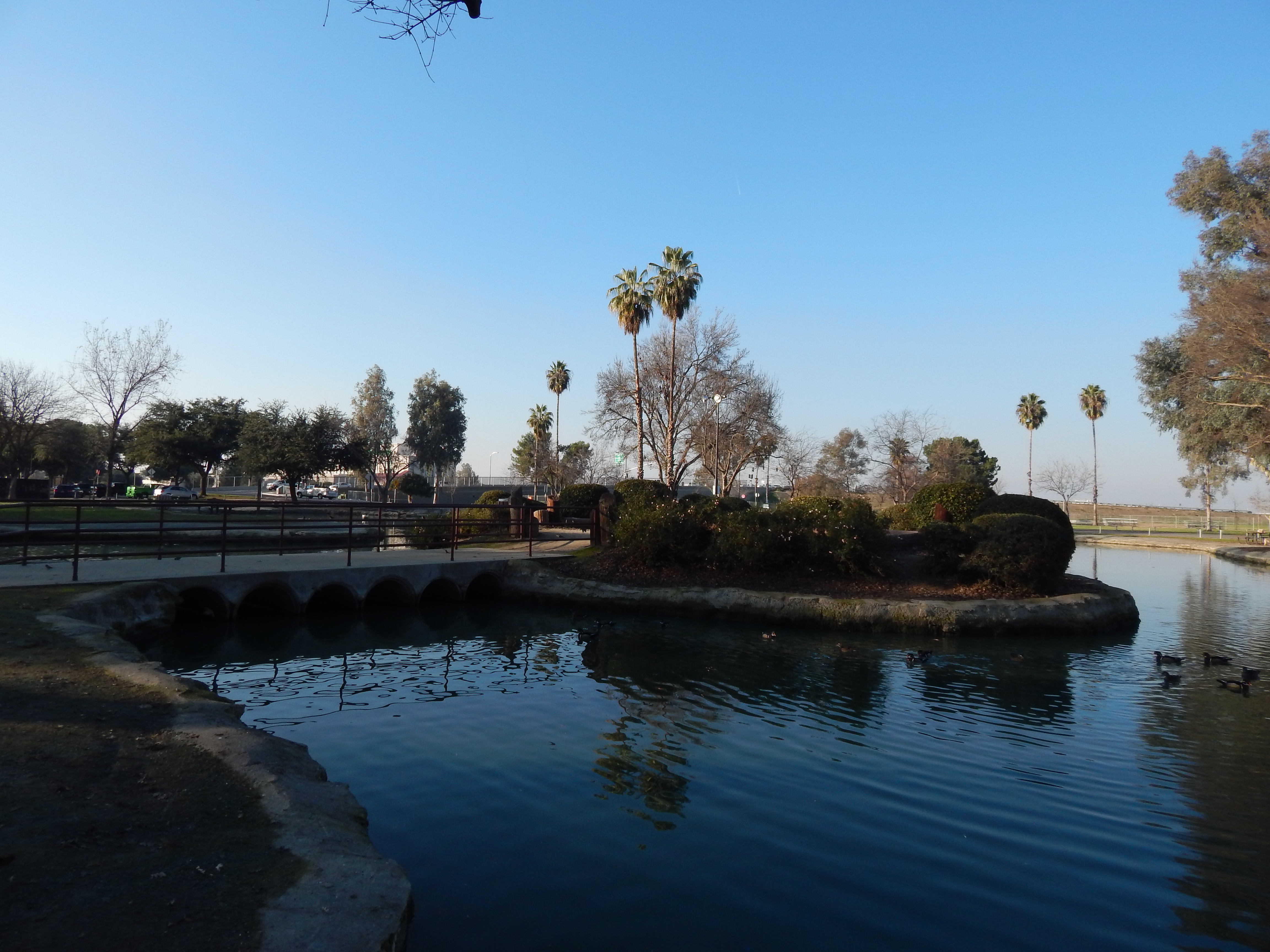
Plaza Park, Visalia

BNSF Eastbound Intermodal
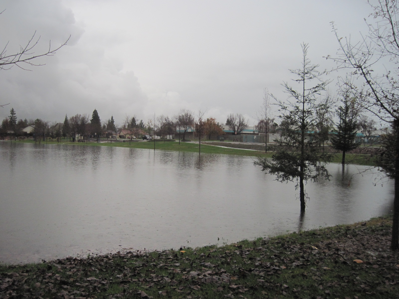
This lake was a park
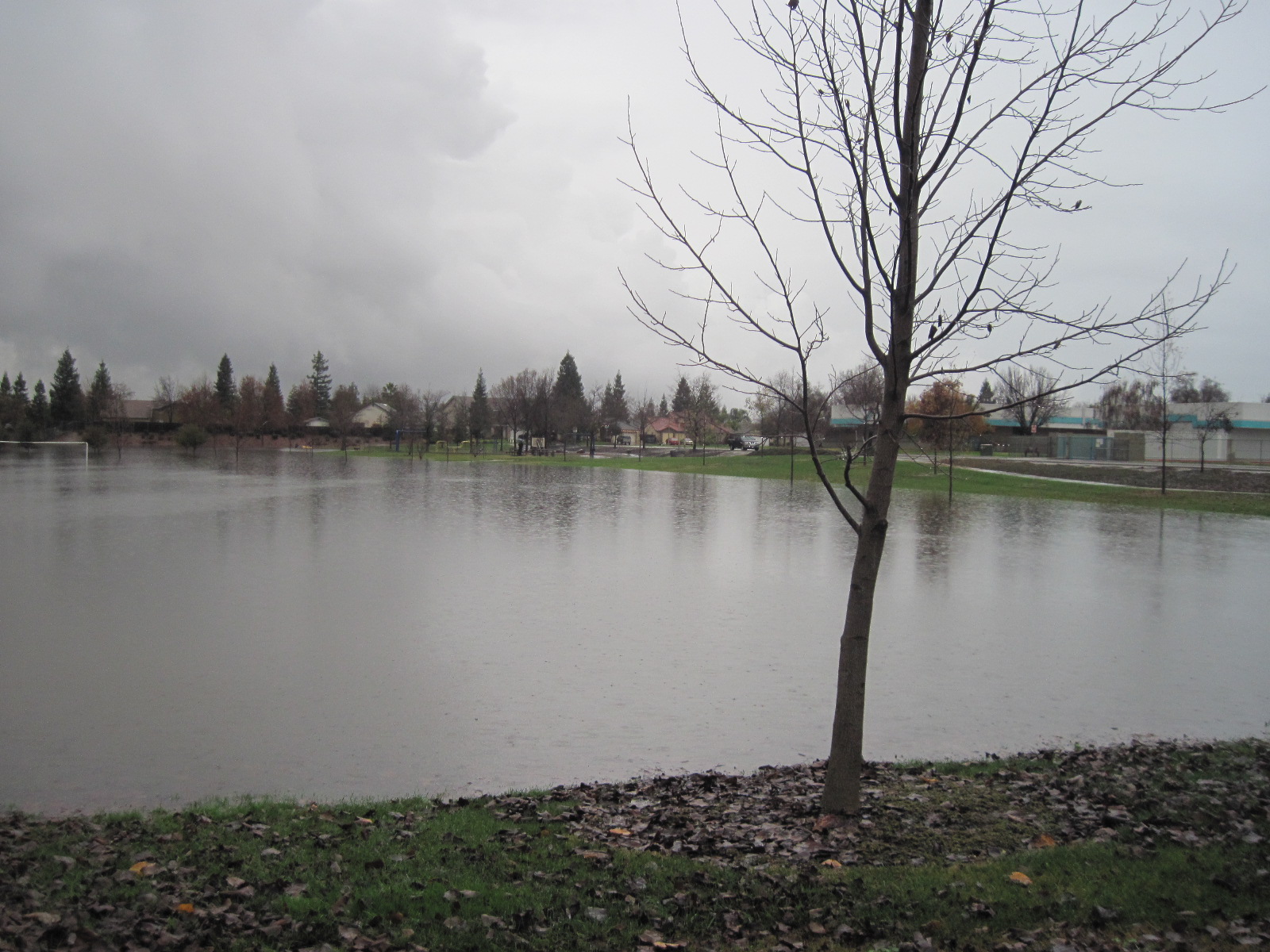
This lake was a park
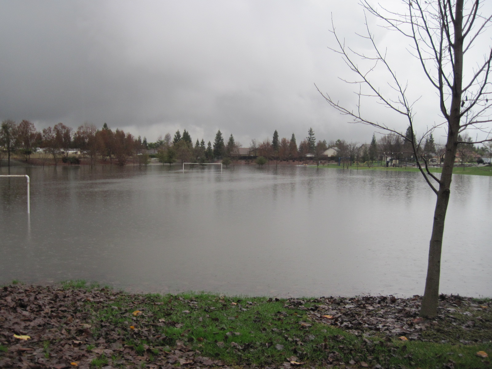
This lake was a park
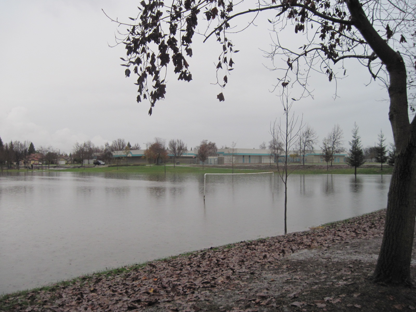
This lake was a park

BNSF Eastbound manifest
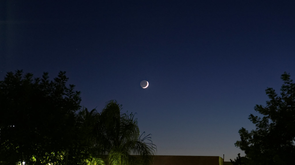
Moon over Tulare

Pct day 39
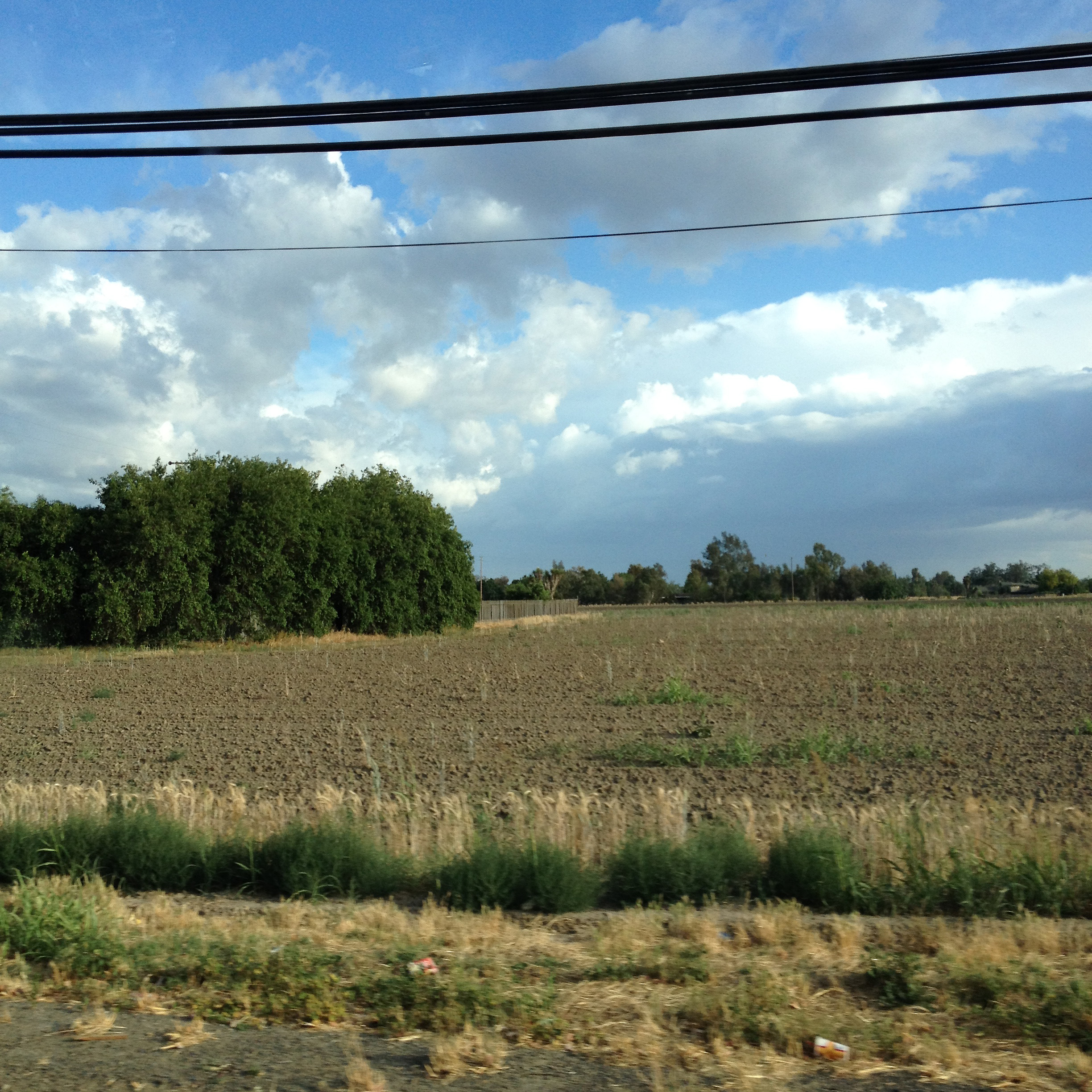
central california
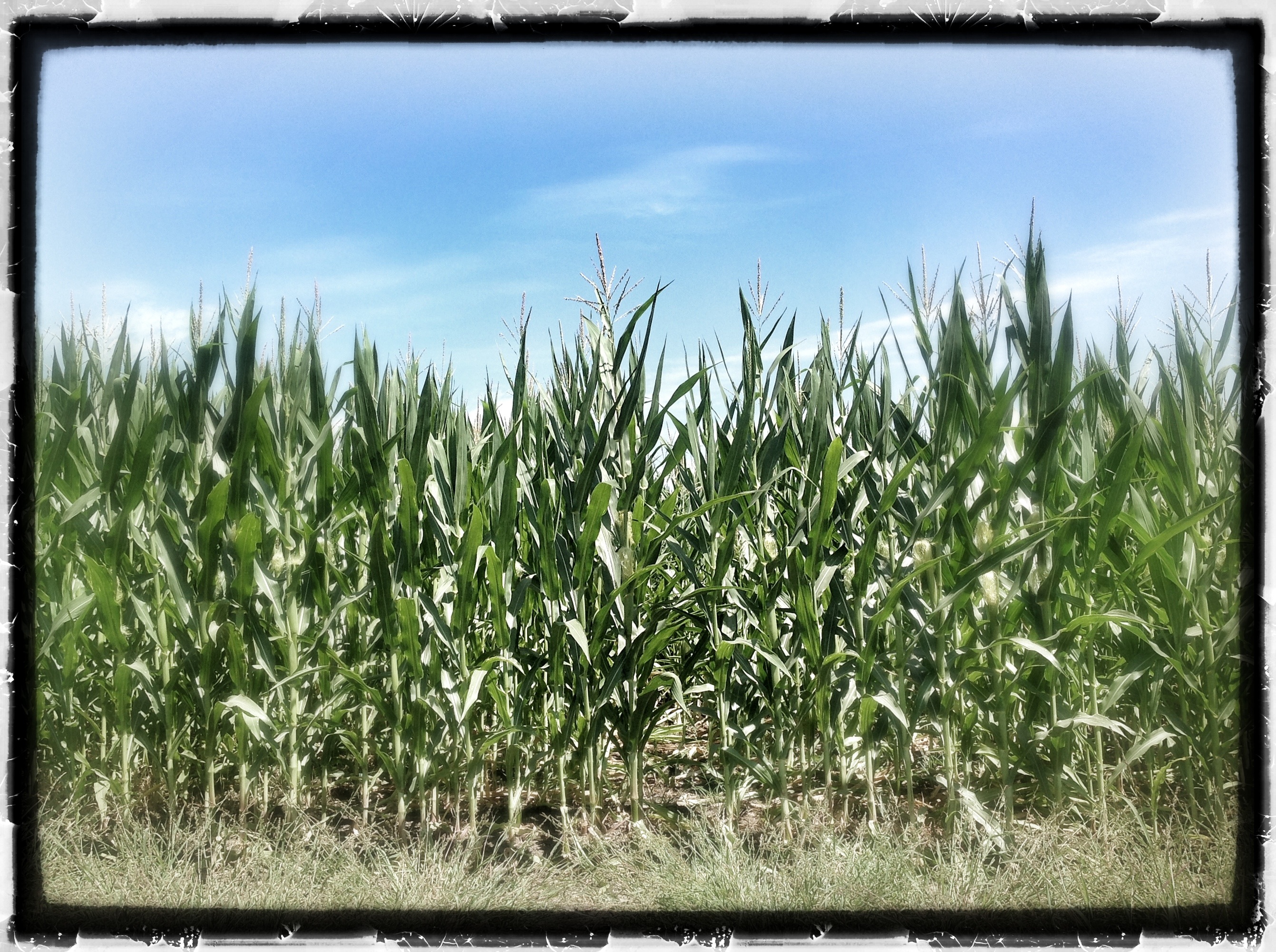
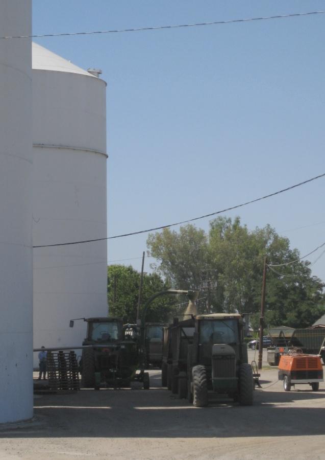
Tulare Corn! 30 August 2012
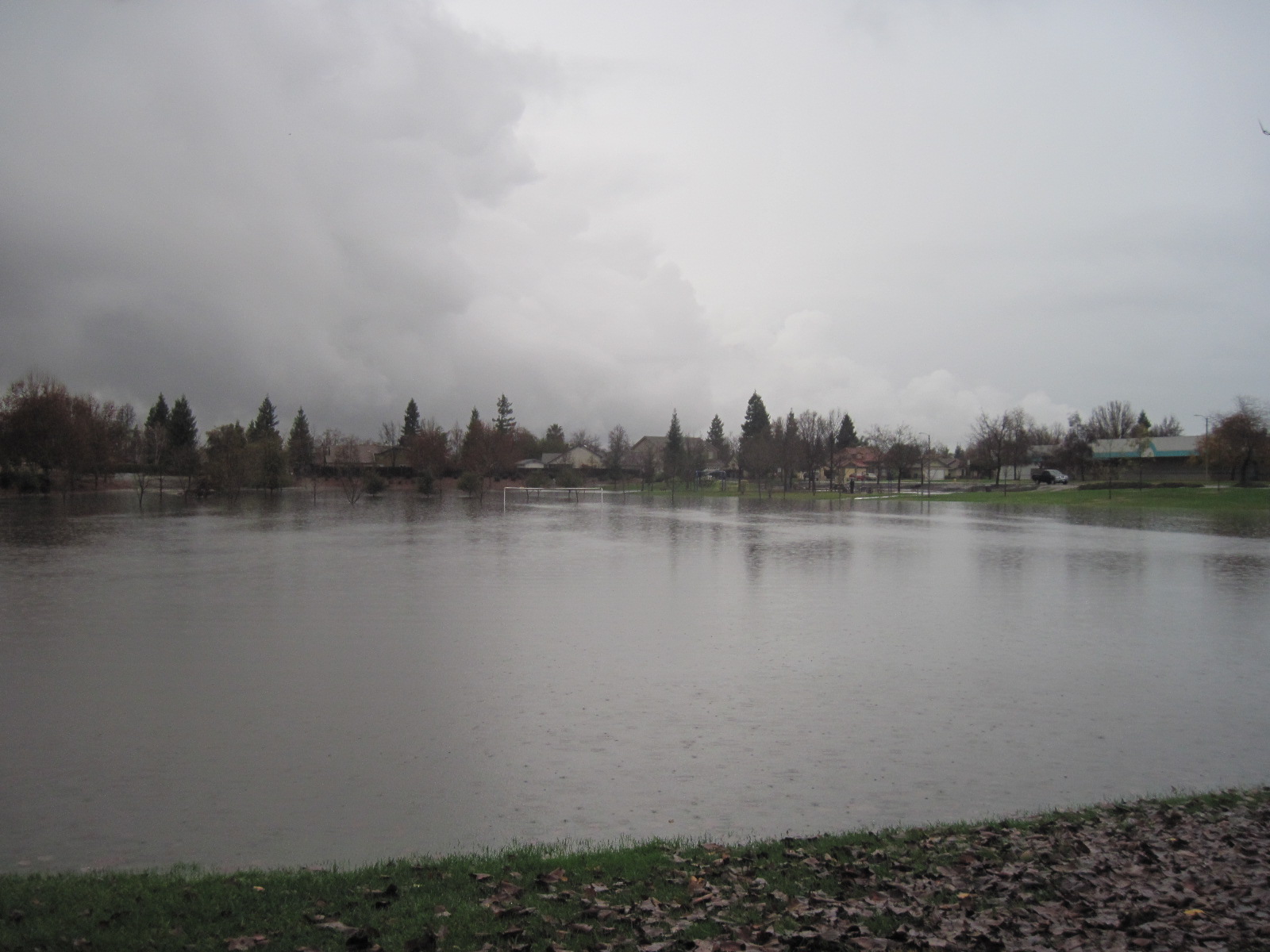
This lake was a park
Topographic Map of Ave, Tulare, CA, USA
Find elevation by address:

Places near Ave, Tulare, CA, USA:
Cartmill Avenue
19814 Rd 96
Tulare
800 E Paige Ave
1101 N Cherry St
4500 S Laspina St
Waukena Ave, Tulare, CA, USA
1539 E Tulare Ave
10800 Ave 184
16026 Rd 64
2657 Turnberry Ct
Spyglass Street
Ave, Tulare, CA, USA
3344 W La Vida Ave
Avenue, Tulare, CA, USA
Tipton
Sundale Union School District
1603 Clancy Ct
West Mineral King Avenue
1600 Clancy Ct
Recent Searches:
- Elevation of Lampiasi St, Sarasota, FL, USA
- Elevation of Elwyn Dr, Roanoke Rapids, NC, USA
- Elevation of Congressional Dr, Stevensville, MD, USA
- Elevation of Bellview Rd, McLean, VA, USA
- Elevation of Stage Island Rd, Chatham, MA, USA
- Elevation of Shibuya Scramble Crossing, 21 Udagawacho, Shibuya City, Tokyo -, Japan
- Elevation of Jadagoniai, Kaunas District Municipality, Lithuania
- Elevation of Pagonija rock, Kranto 7-oji g. 8"N, Kaunas, Lithuania
- Elevation of Co Rd 87, Jamestown, CO, USA
- Elevation of Tenjo, Cundinamarca, Colombia