Elevation of Turnberry Ct, Tulare, CA, USA
Location: United States > California > Tulare County > Tulare >
Longitude: -119.30863
Latitude: 36.2175678
Elevation: 91m / 299feet
Barometric Pressure: 100KPa
Elevation Map:
Satellite Map:
Related Photos:

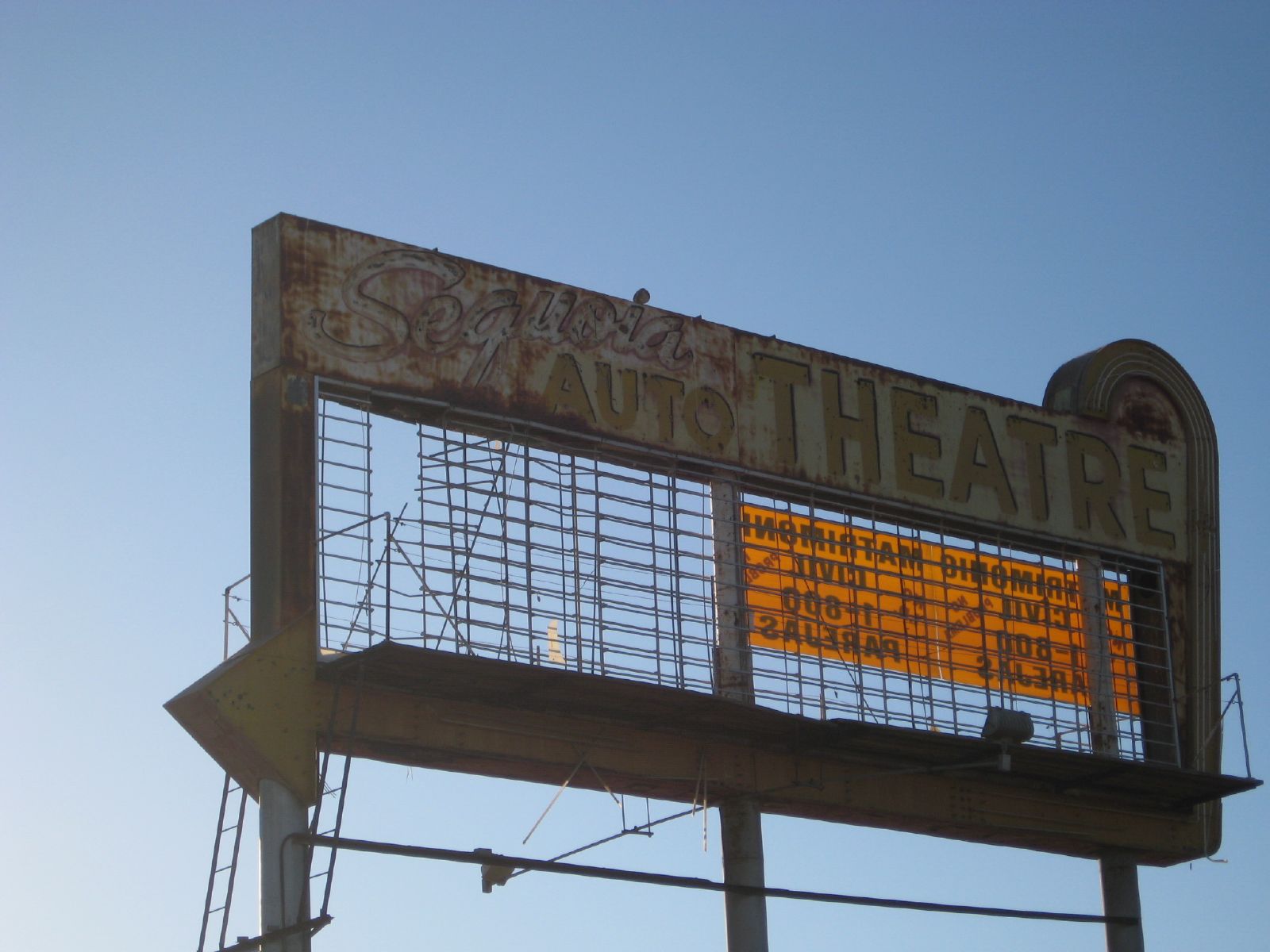
A View of Former Exit 84 Business California 99 K Street
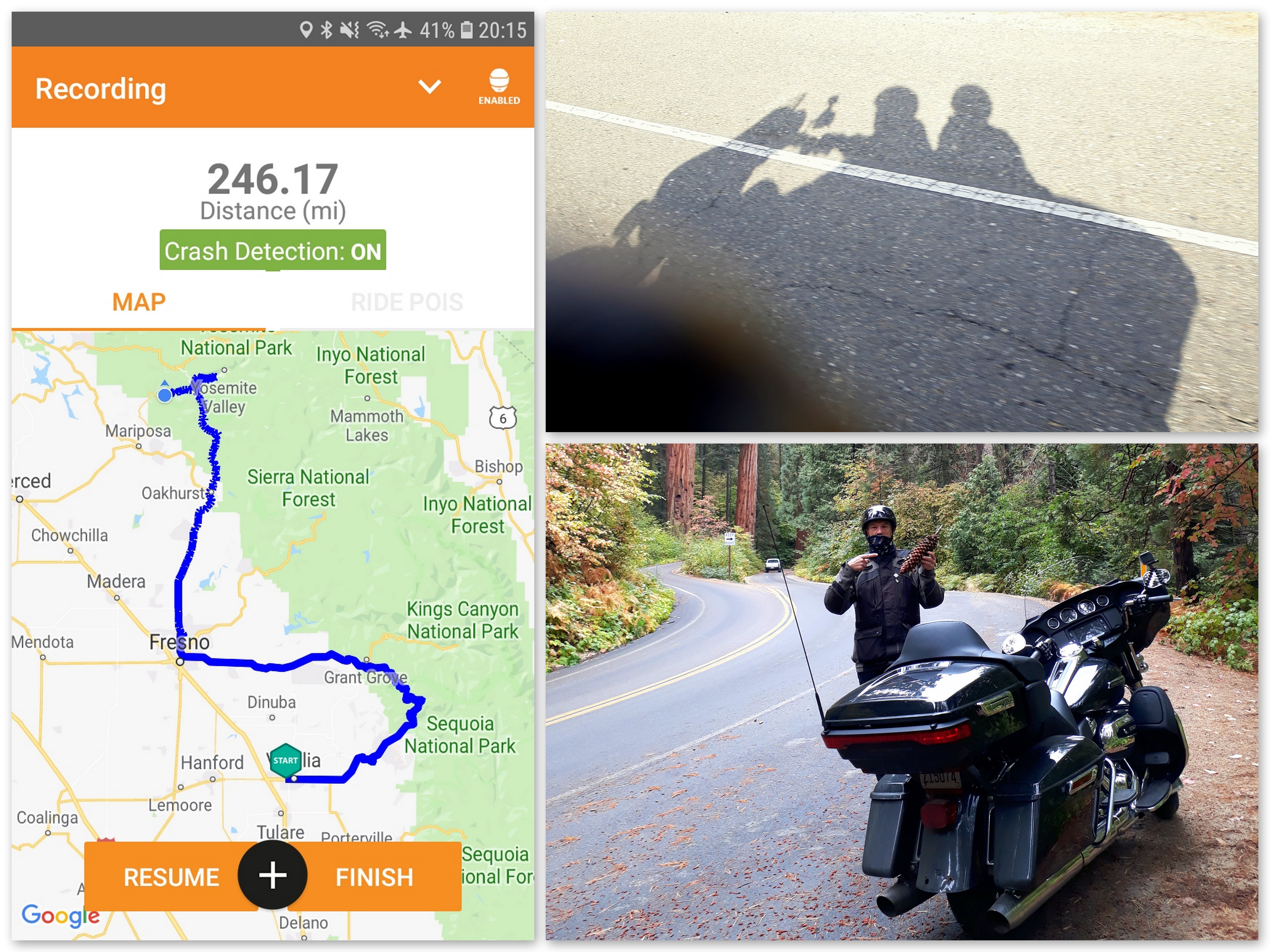
Visalia to Yosemite & El Portal - Day Four.
hanging tough

boeing b-17g flying fortress

boeing b-17g flying fortress
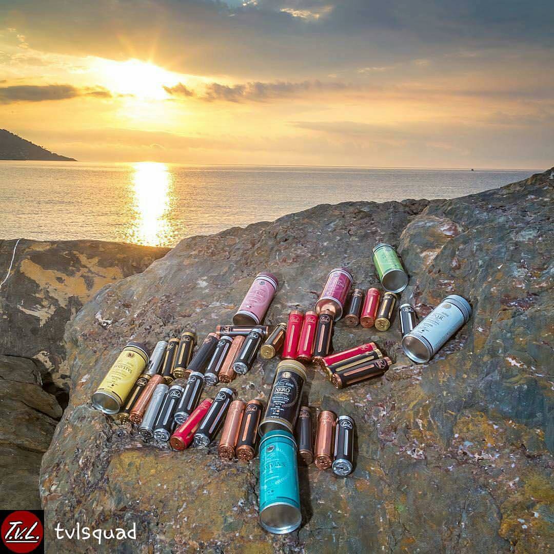
from @tvlsquad - That view! Sunset looks great also???? Photo by: @mihailvladaianu_tvl Rise and shine Www.thevapelounge760.com @tvlsquad @thevapelounge760 @marlow_tvlsquad @themachinist12 _____________________________________ #tvlsquad #kennedyr

Mountain view
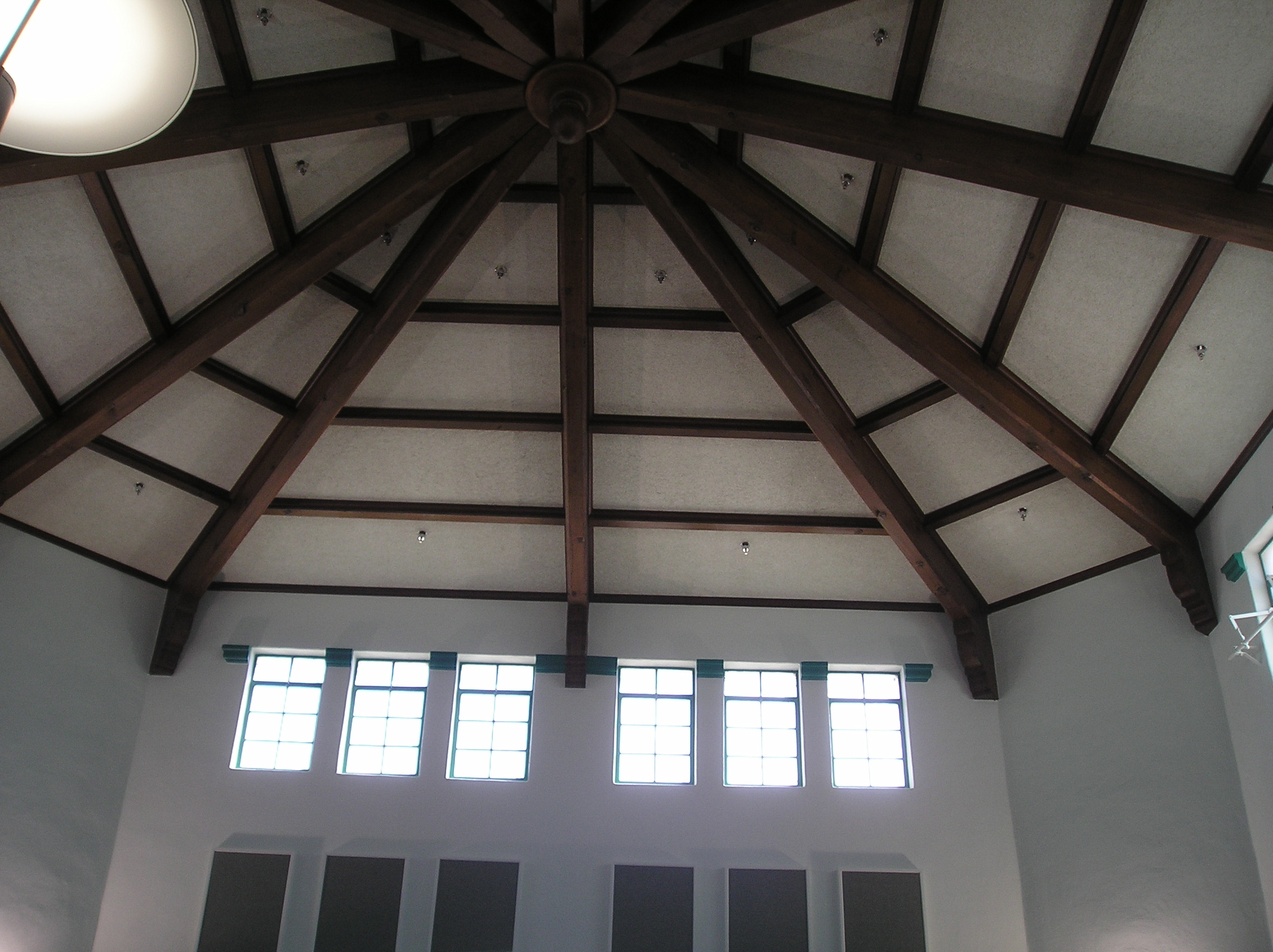
Roof view at the Visalia library
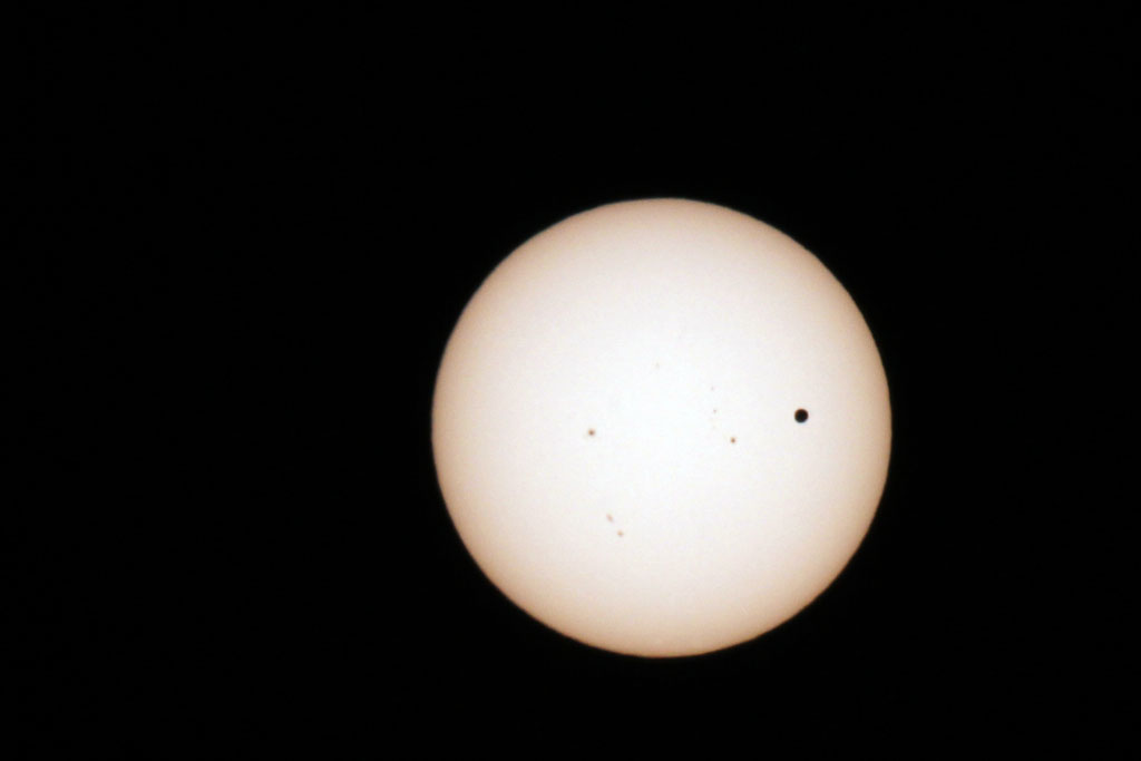
Transit of Venus Take 1
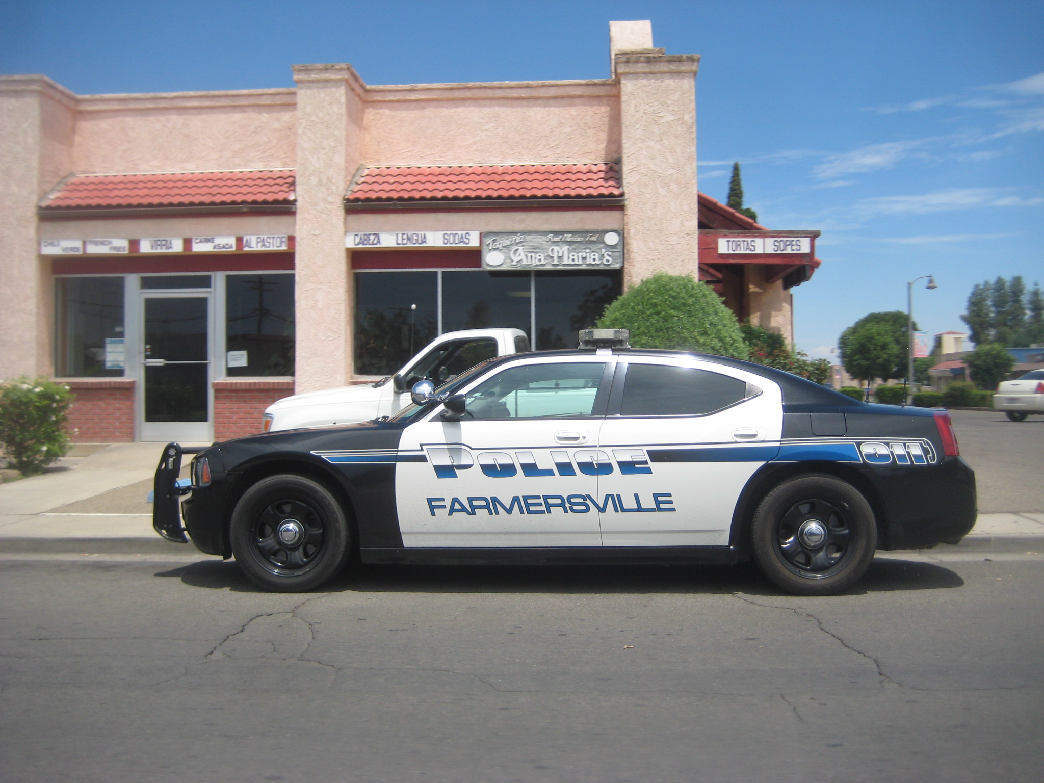
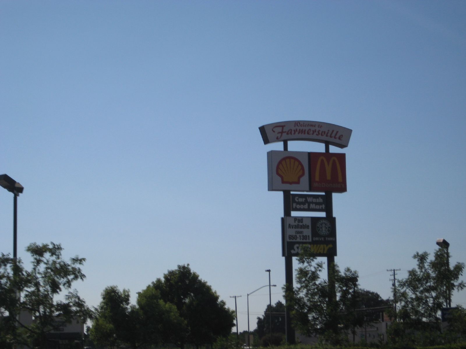
does farmersville really need this??
Beetle Rock view, Sequoia National Park.
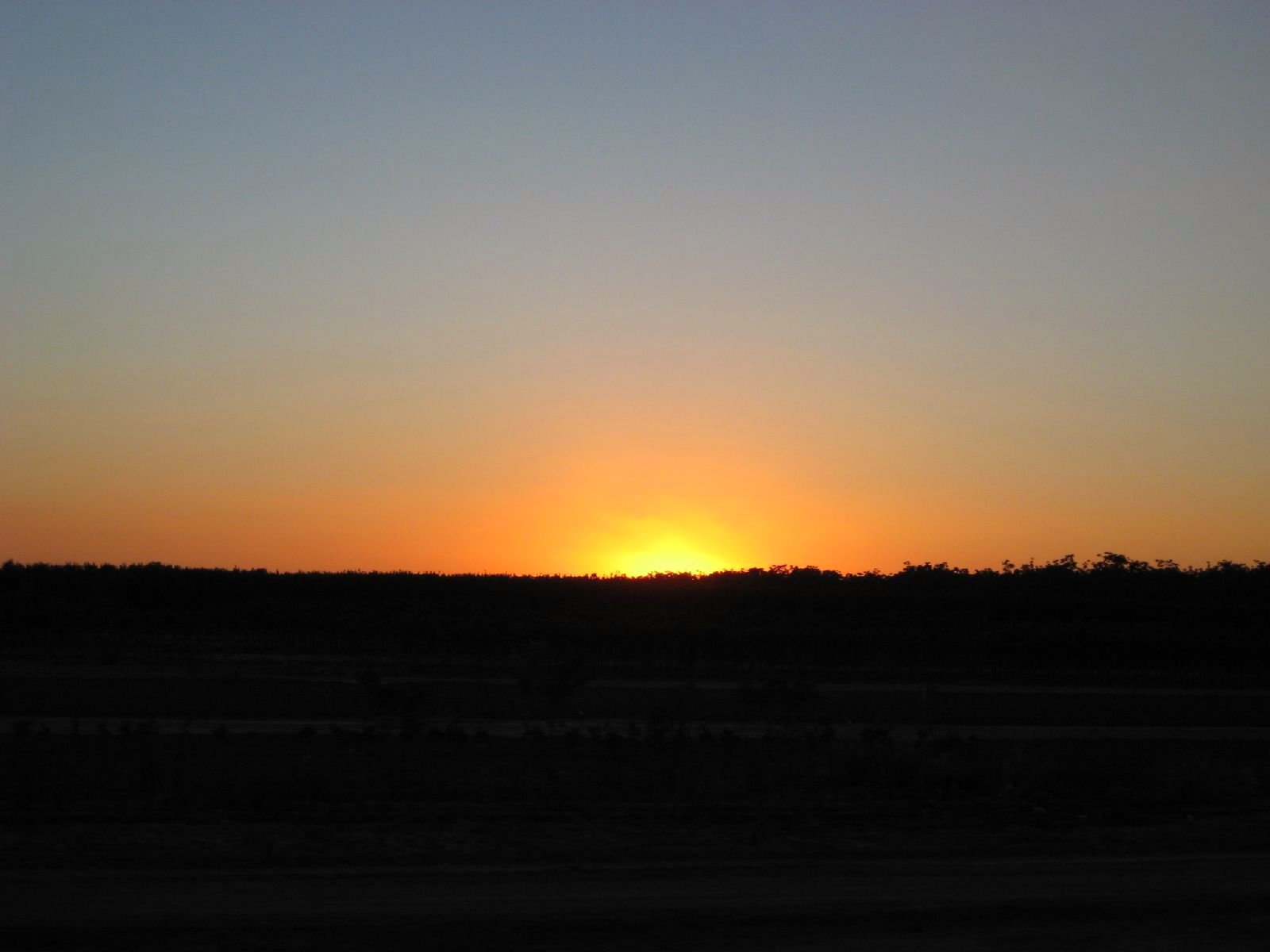
Valley Sunset
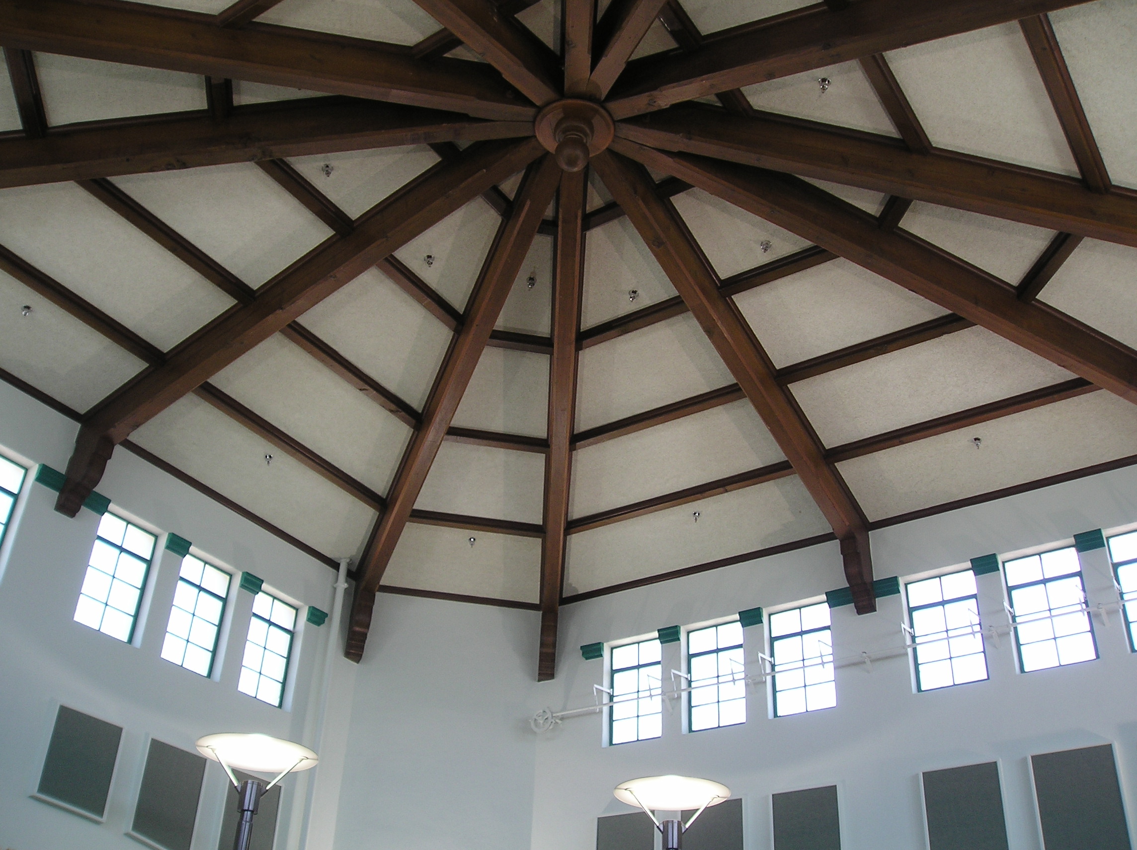
Roof view, Visalia library

Balcony view of the Fox Theatre in Visalia
Mini Family Reunion Cat Nap
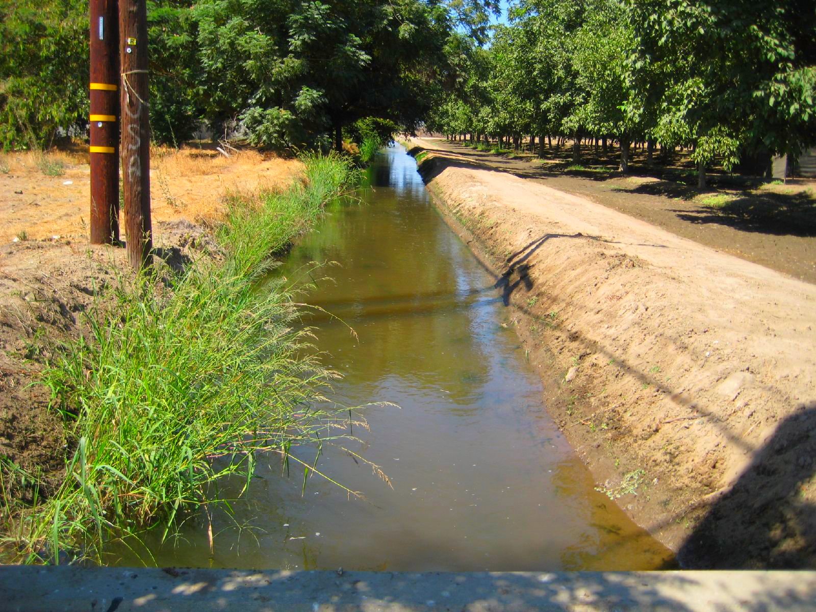
water for irrigation
ValleyEx (302)

ValleyEx (297)
ValleyEx (134)
ValleyEx (287)
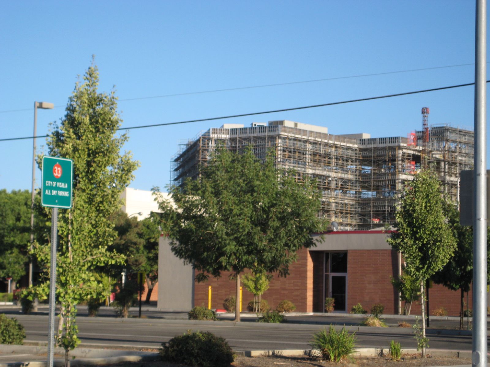
kaweah delta construction

in Salem

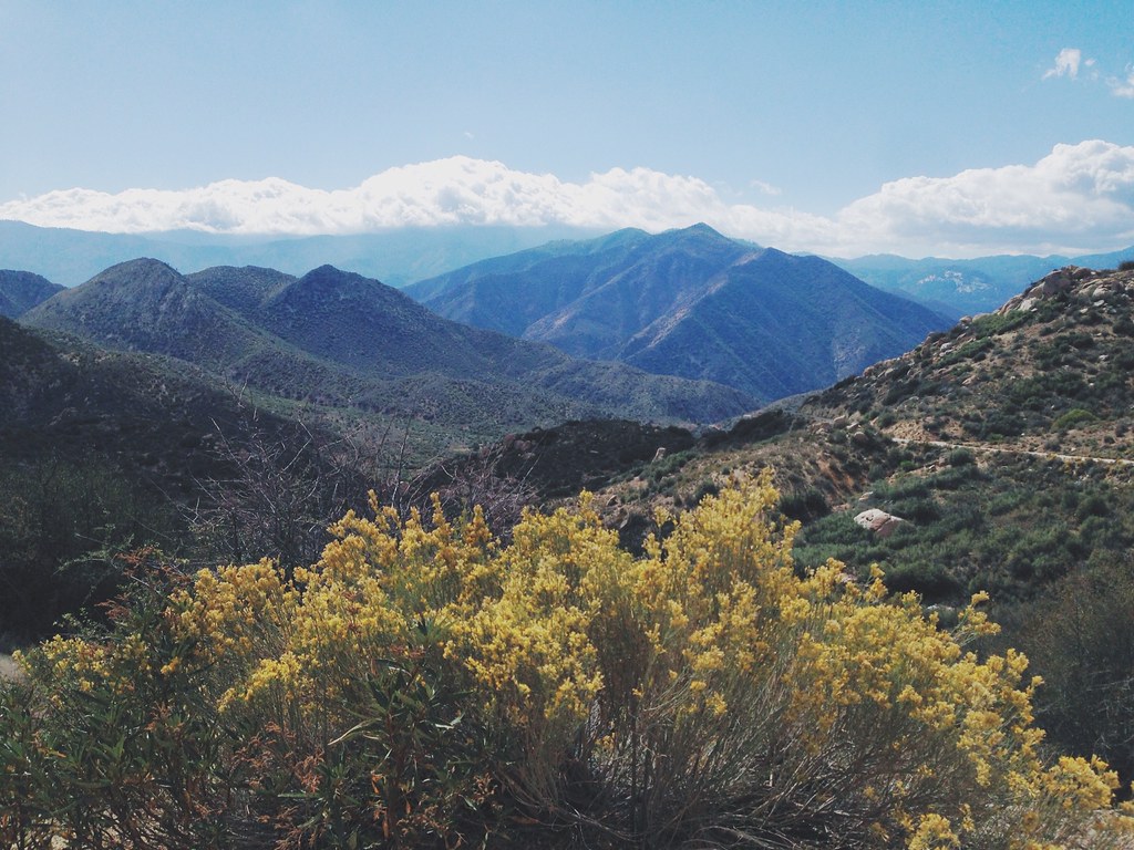
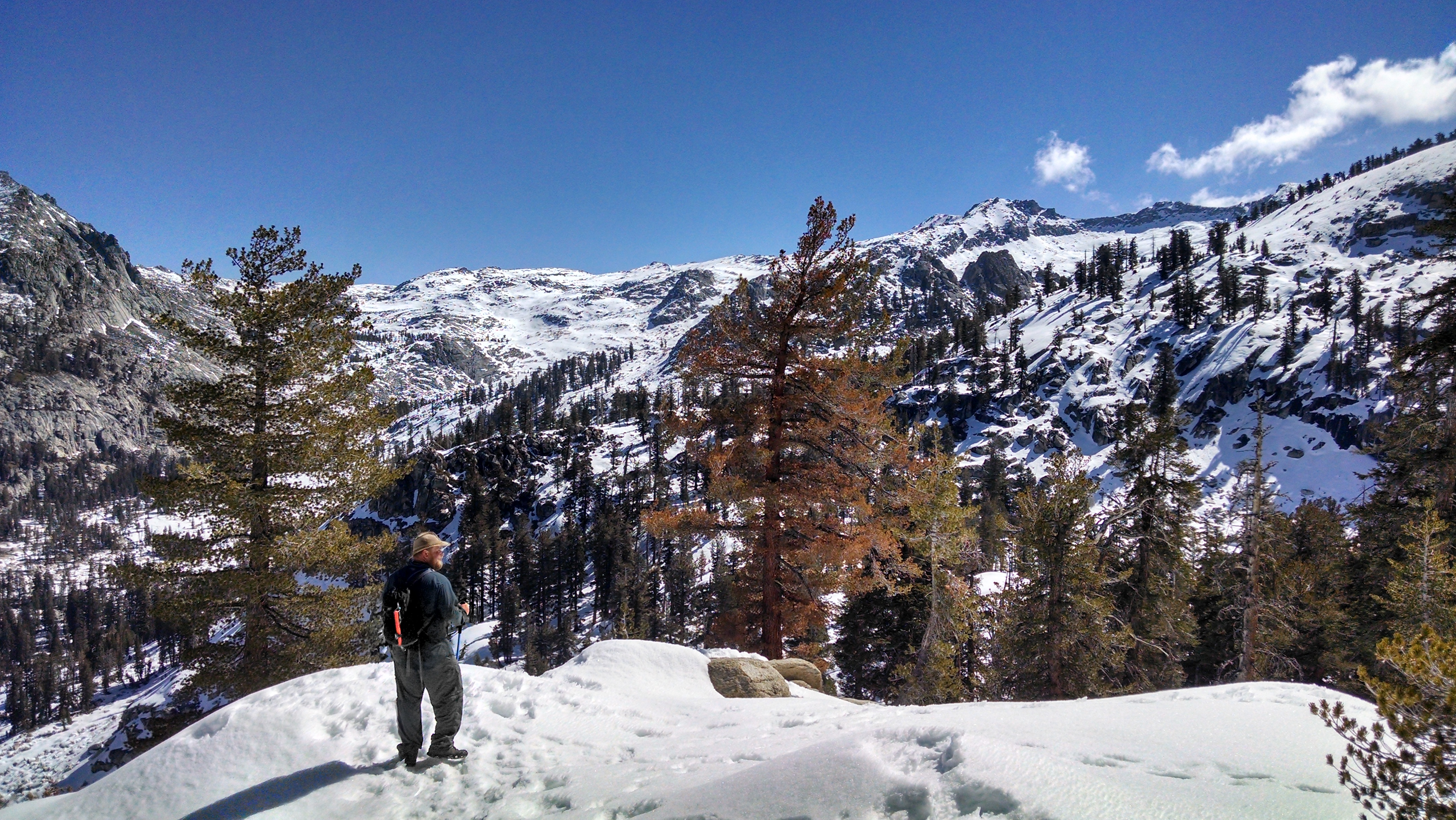
Snow-Capped Sierra, Kern County, California
Camera Roll-1018
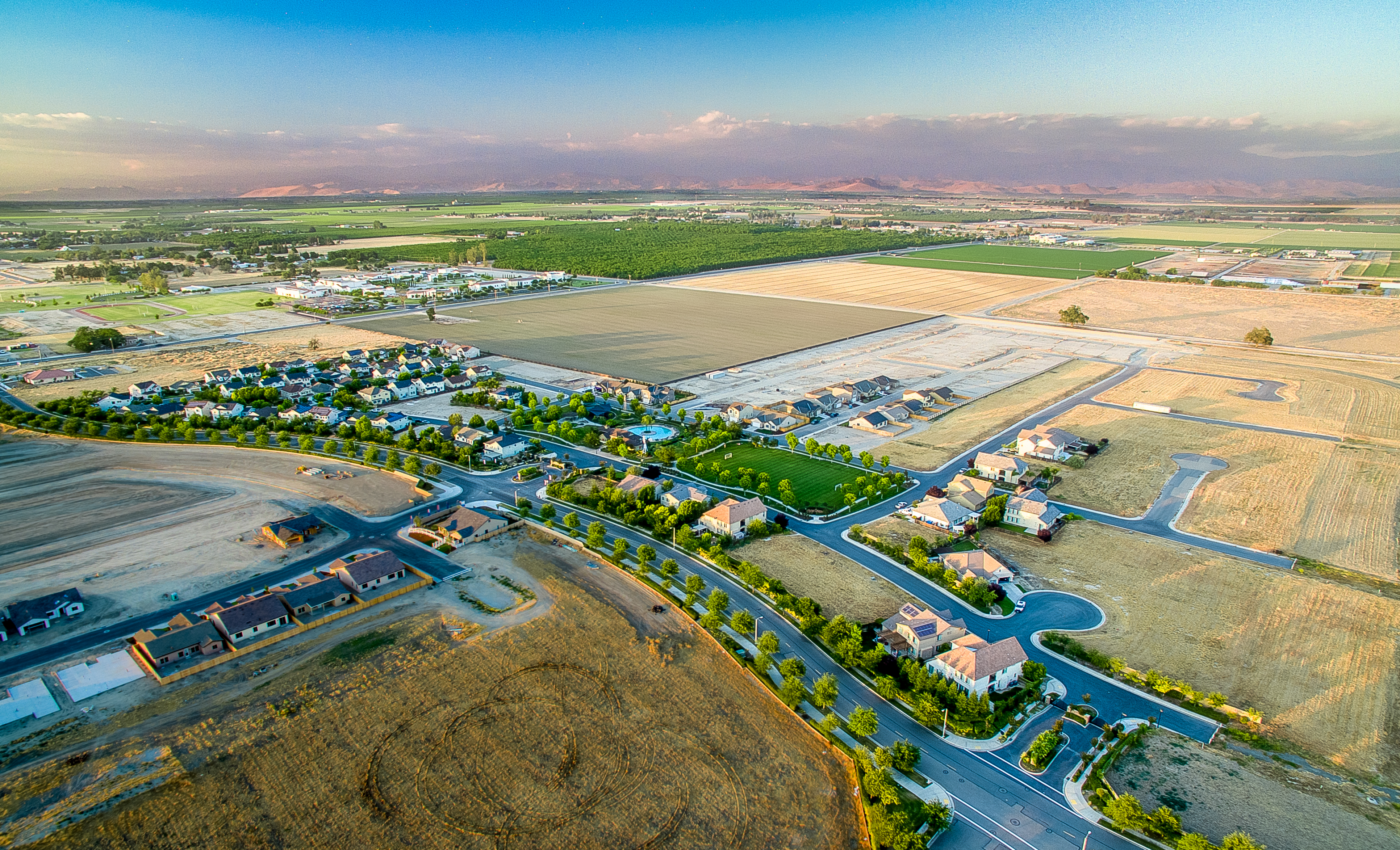
Tule Heights Areal
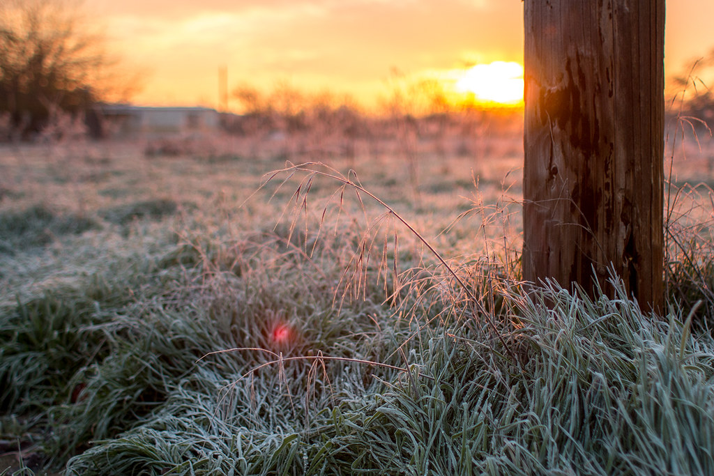
Frosty Morning
Sentinel has Yami's back...
*День пятнадцатый. 4566 км. Пять часов по серпантину без навигатора, чтобы вернуться туда, откуда начали, но уже с пустым баком. А что, зато виды красивые

#superfiltered swirlies and soft straight lines.
ORTrip 030
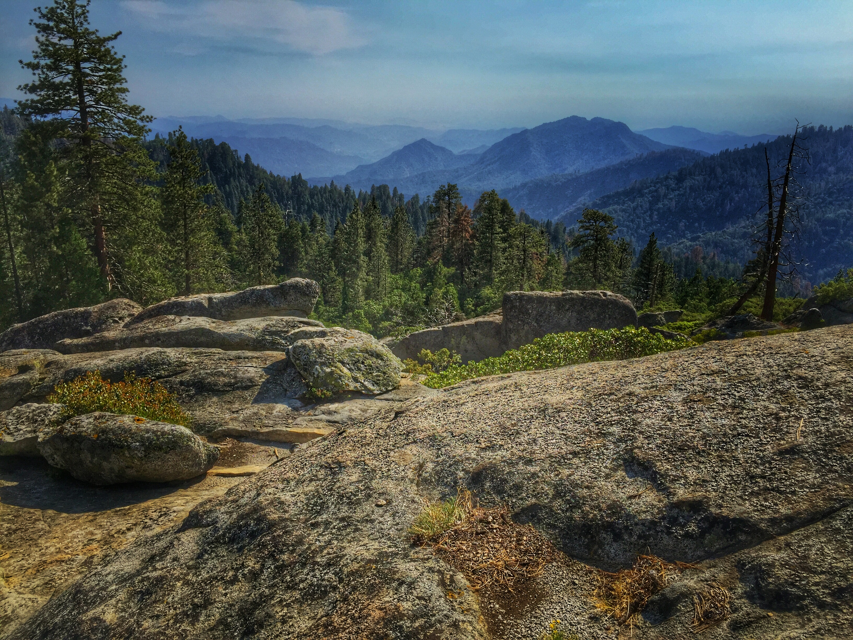
At the top of the Hump Trail in Sequoia National Park
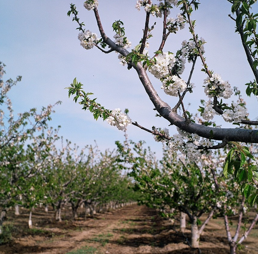
Orchard In Bloom
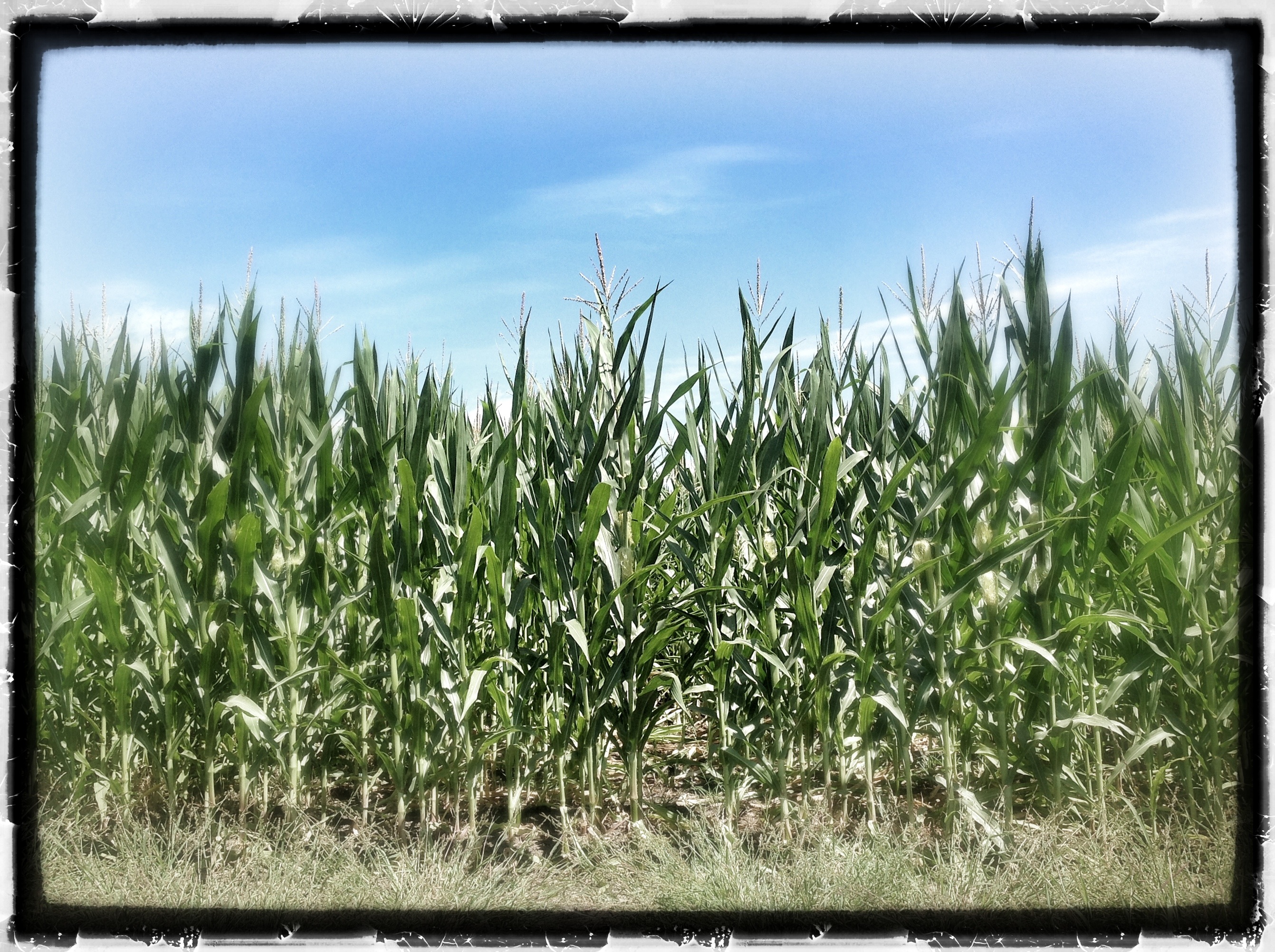
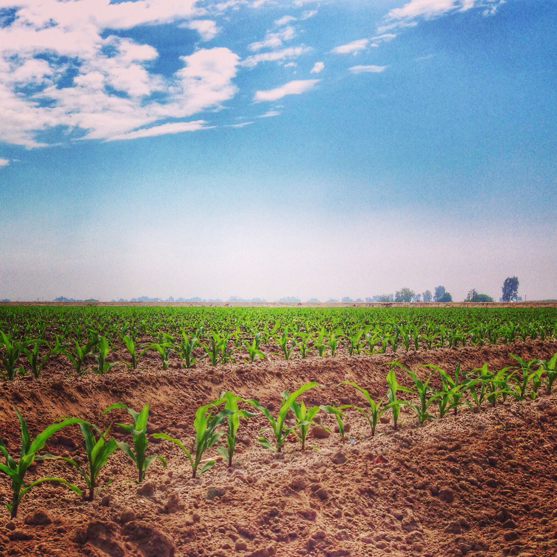
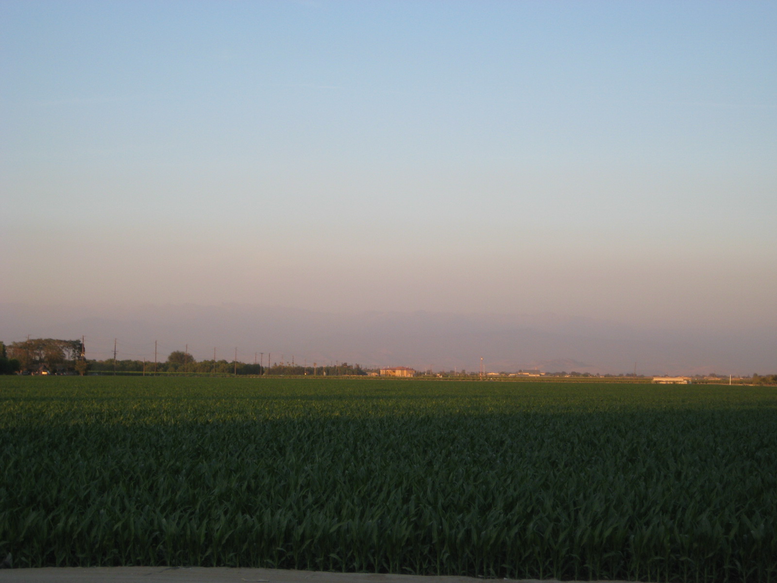
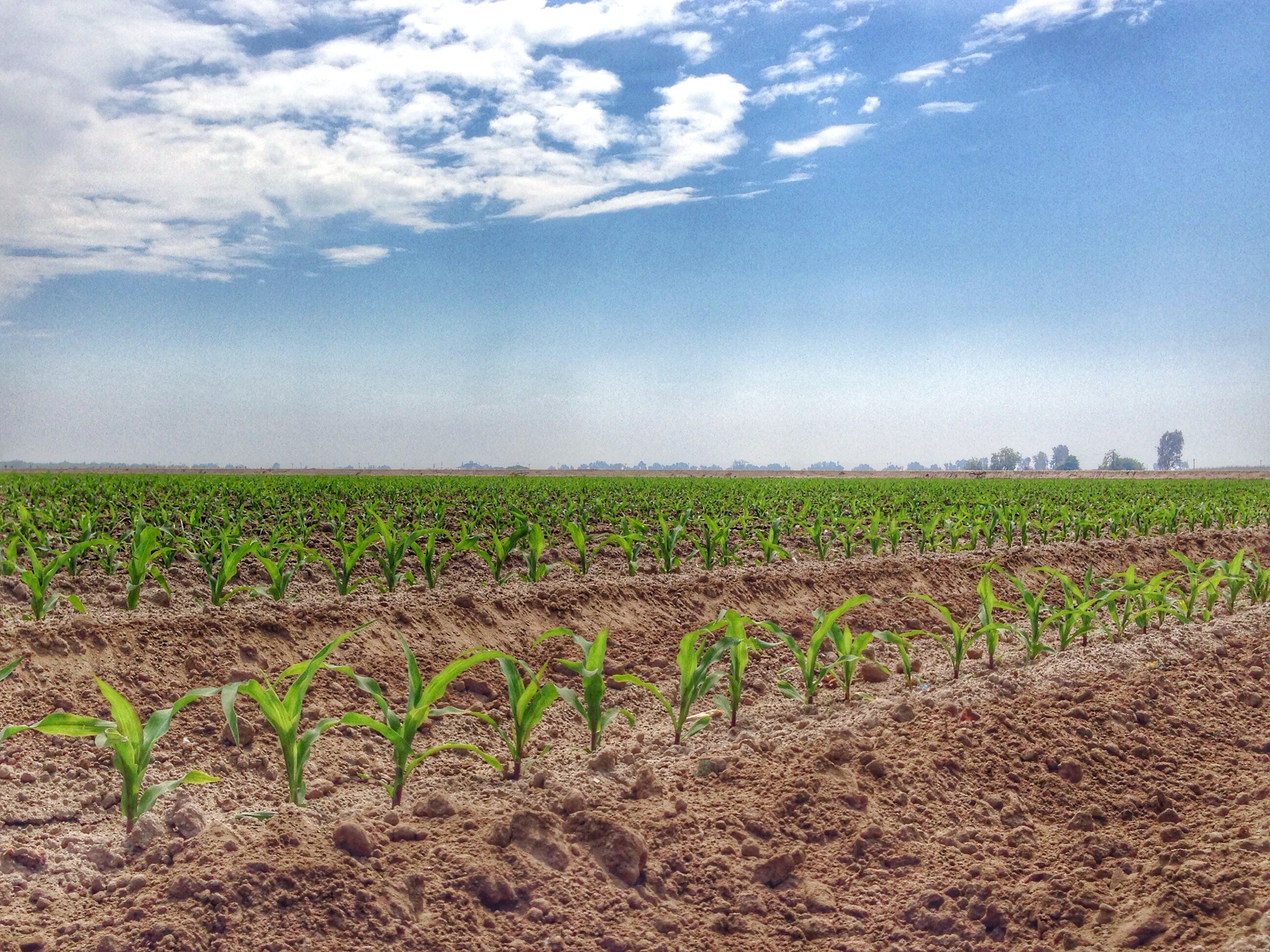
Tulare Corn! 30 August 2012
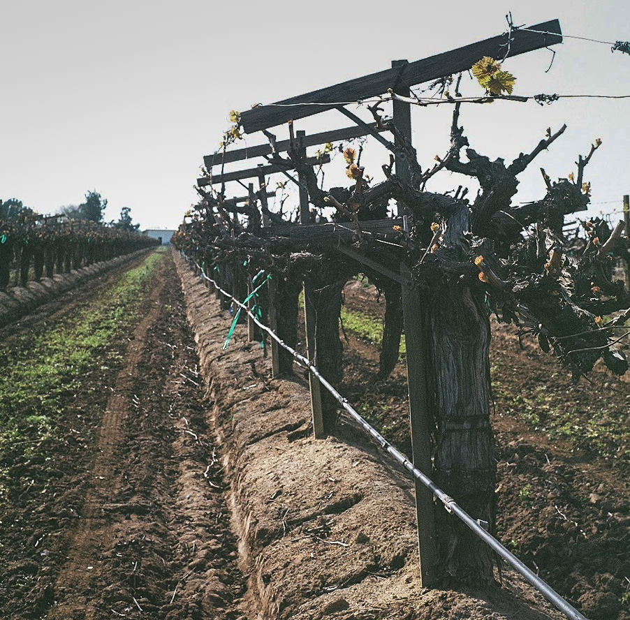
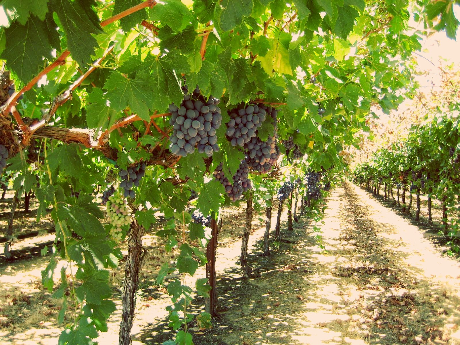
Young Vines

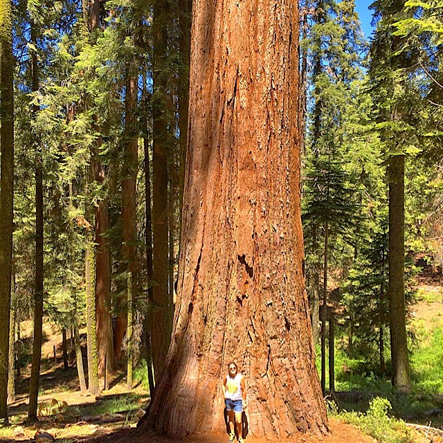
General Sherman, largest living thing on Earth (taken from the upper trail). Photos don't do it justice. See that tiny insignificant human standing near its base? Yeah.

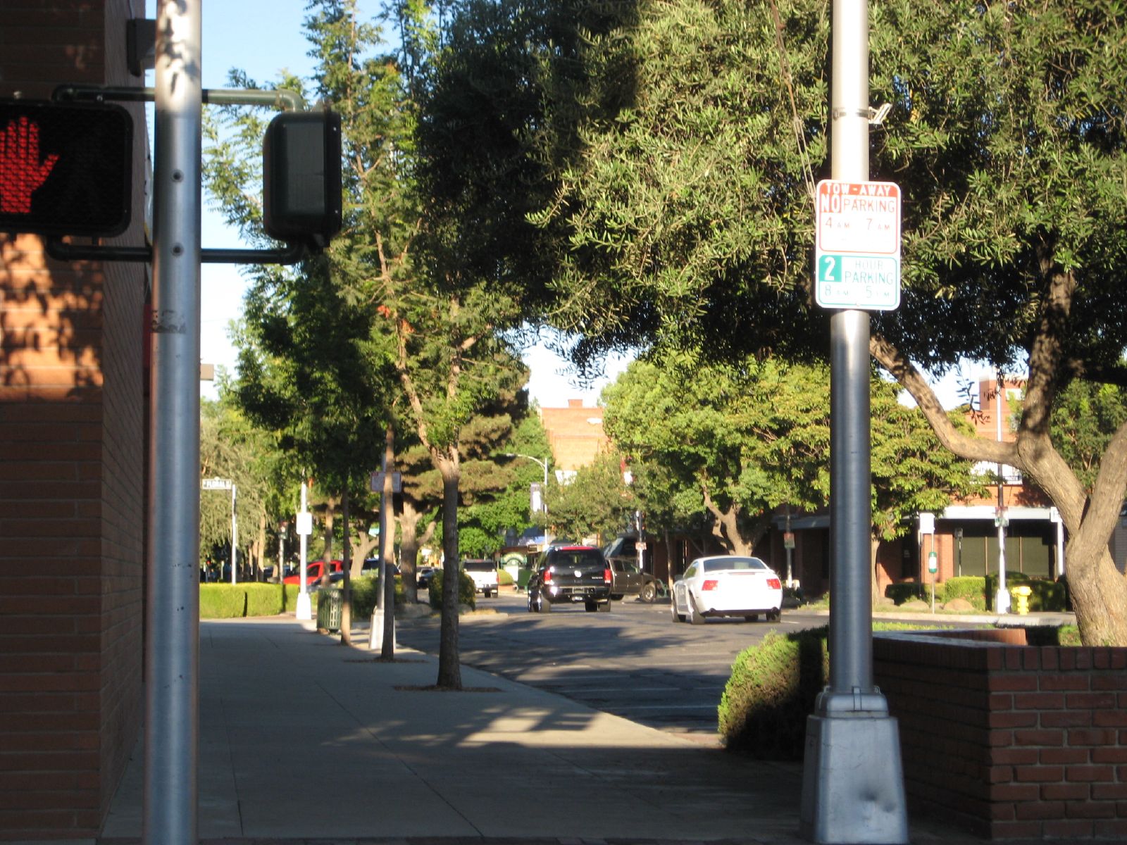
Downtown Visalia
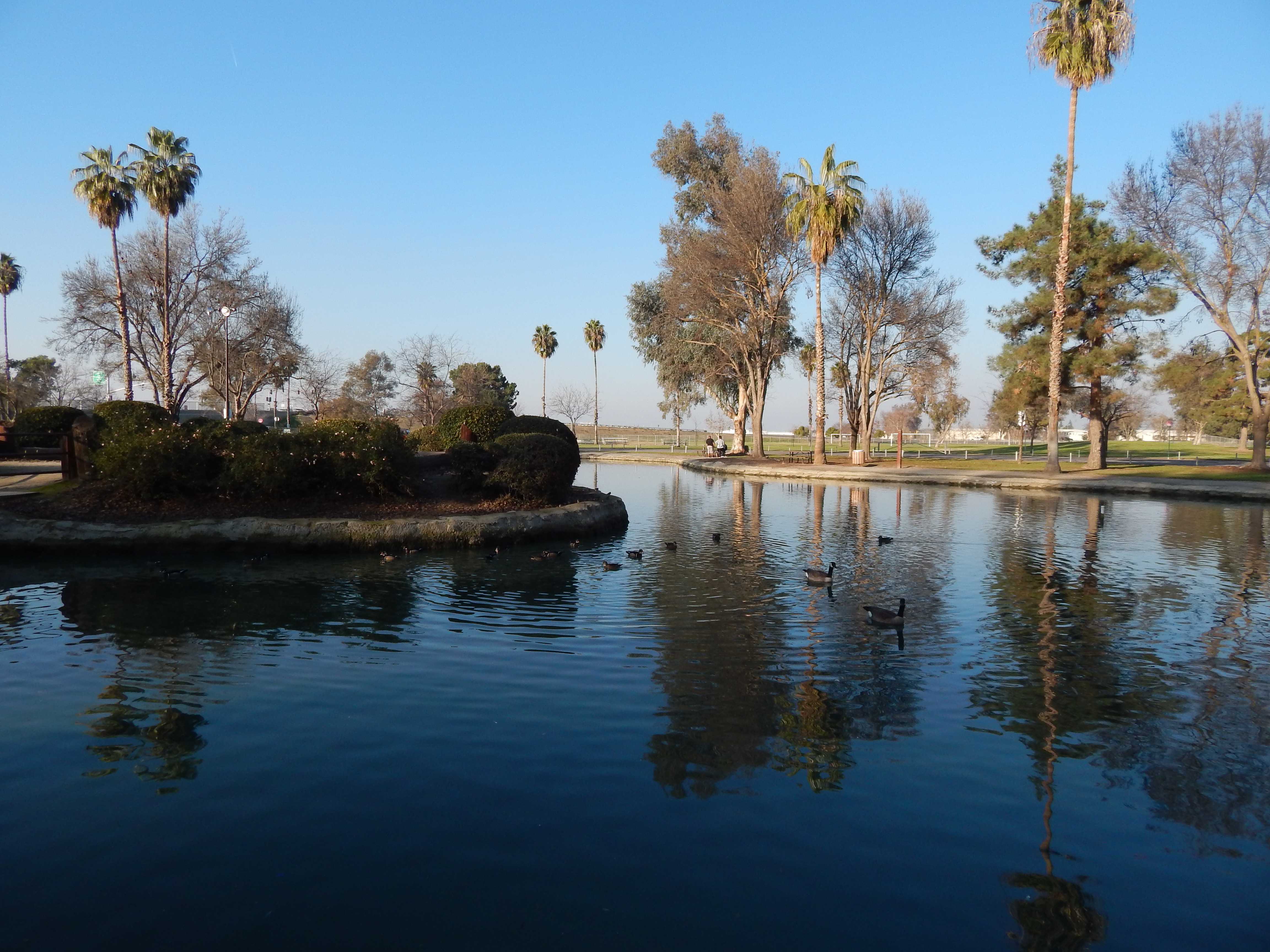
Plaza Park, Visalia
Camera Roll-1017
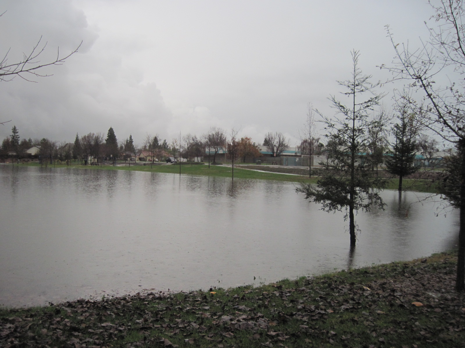
This lake was a park
Landforms on the Property
Topographic Map of Turnberry Ct, Tulare, CA, USA
Find elevation by address:

Places near Turnberry Ct, Tulare, CA, USA:
Spyglass Street
1101 N Cherry St
Ave, Tulare, CA, USA
Avenue, Tulare, CA, USA
Sundale Union School District
13560 Avenue 256
Rd, Tulare, CA, USA
3344 W La Vida Ave
1301 Mesa Ct
E K Ave, Visalia, CA, USA
1905 S Gowdy St
Mount Whitney High School
Rd, Visalia, CA, USA
98 E Mineral King Ave
Visalia
West Mineral King Avenue
Rayhill Brake & Wheel Shop
1805 E Main St
3420 E Finni Ct
937 N Highland St
Recent Searches:
- Elevation of Holloway Ave, San Francisco, CA, USA
- Elevation of Norfolk, NY, USA
- Elevation of - San Marcos Pass Rd, Santa Barbara, CA, USA
- Elevation of th Pl SE, Issaquah, WA, USA
- Elevation of 82- D Rd, Captain Cook, HI, USA
- Elevation of Harlow CM20 2PR, UK
- Elevation of Shenyang Agricultural University, Dong Ling Lu, Shen He Qu, Shen Yang Shi, Liao Ning Sheng, China
- Elevation of Alpha Dr, Melbourne, FL, USA
- Elevation of Hiroshima University, 1-chōme-3-2 Kagamiyama, Higashihiroshima, Hiroshima -, Japan
- Elevation of Bernina Dr, Lake Arrowhead, CA, USA